Jurassic Faces & Applejacks! Portola Valley > La Honda > Alpine Road Cycling Loop

IMG_4034

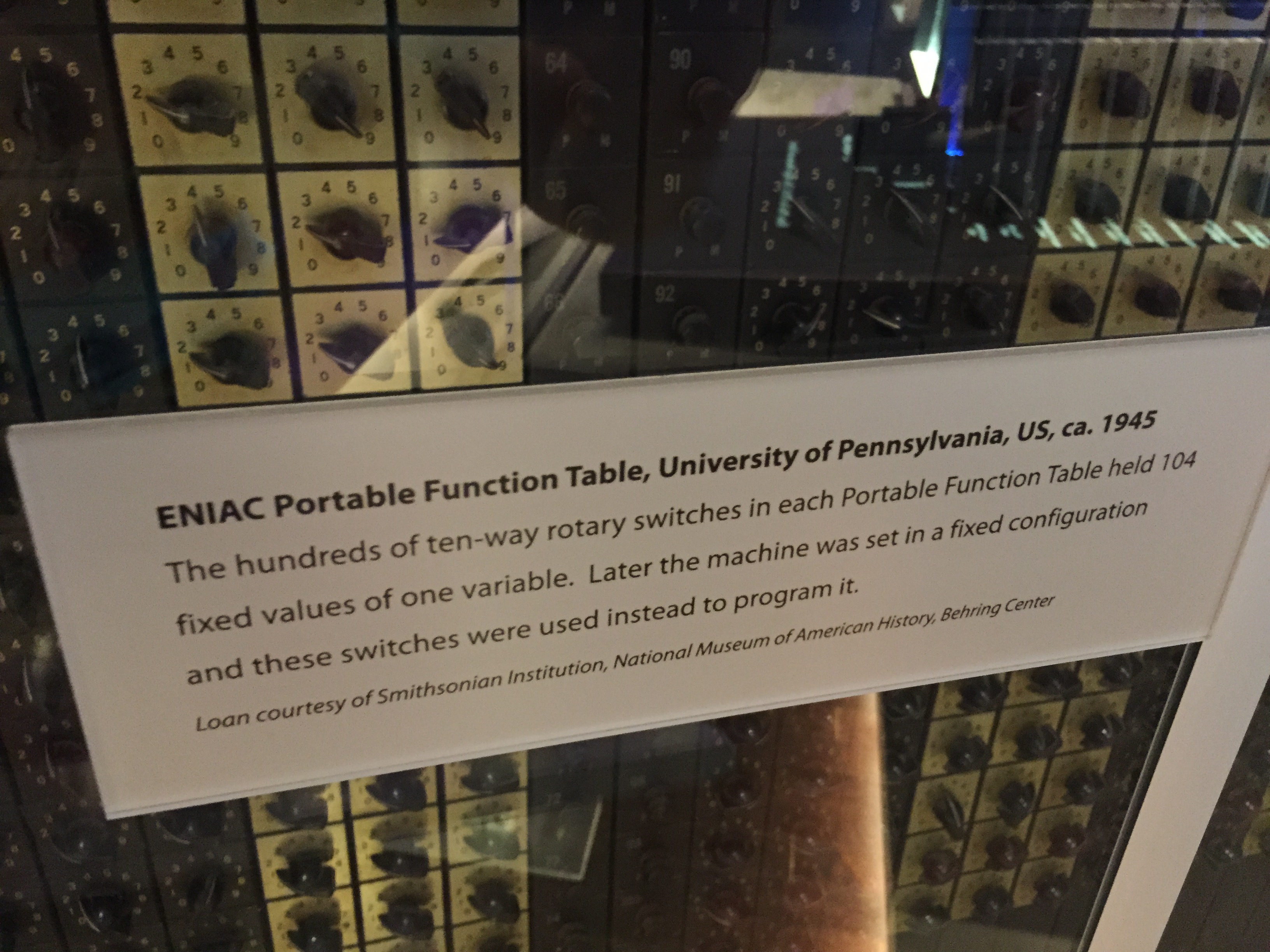
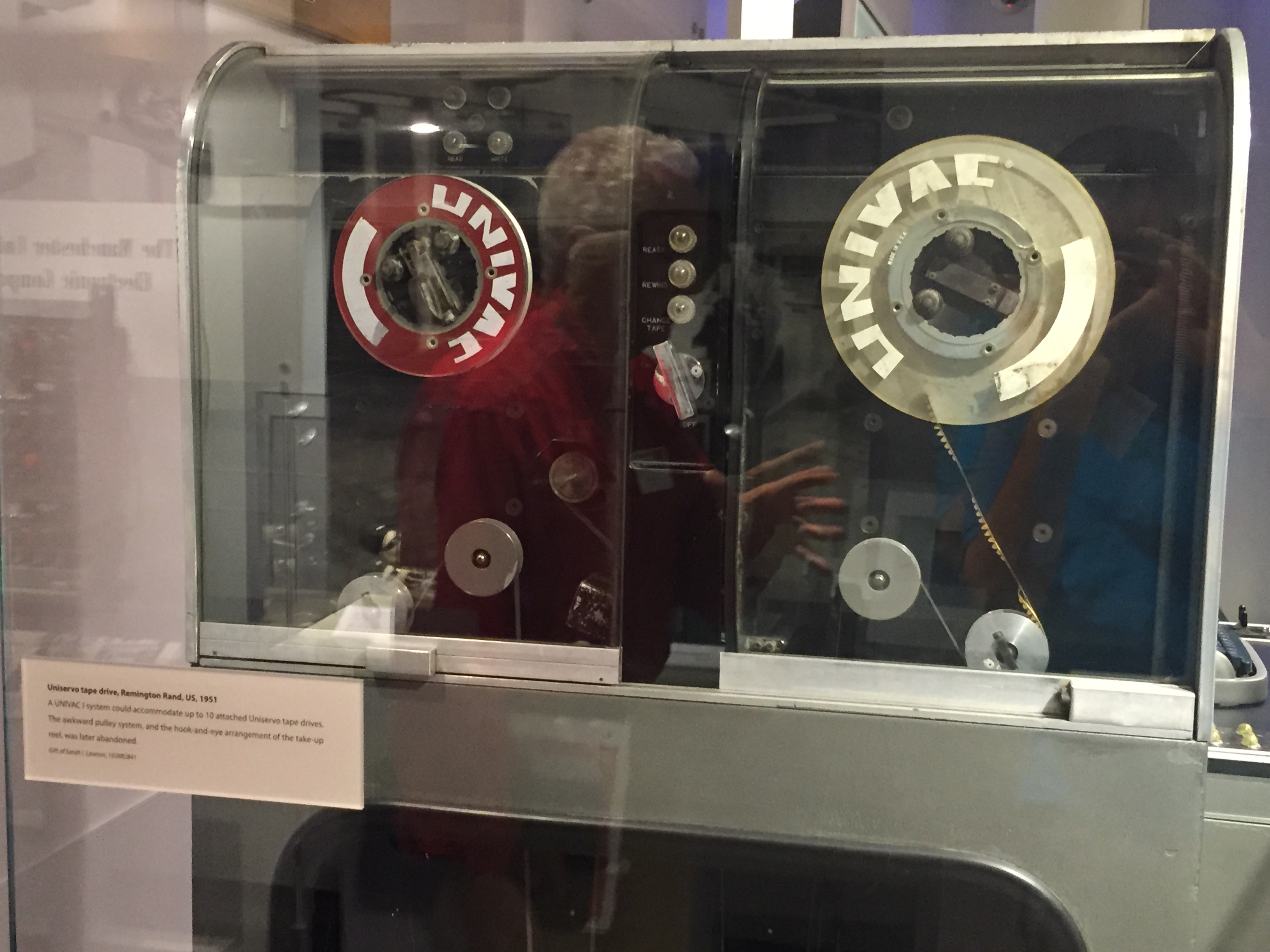
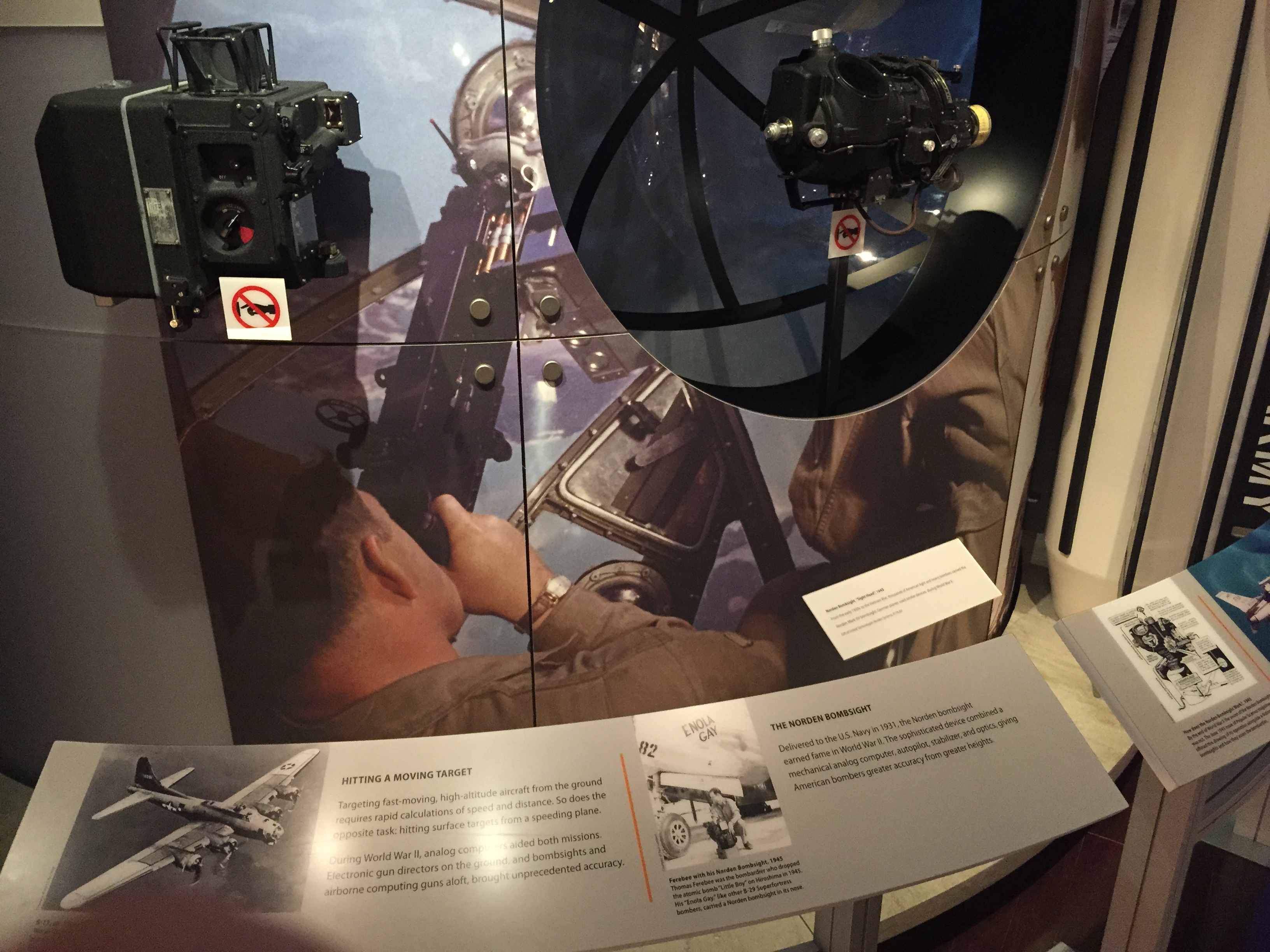
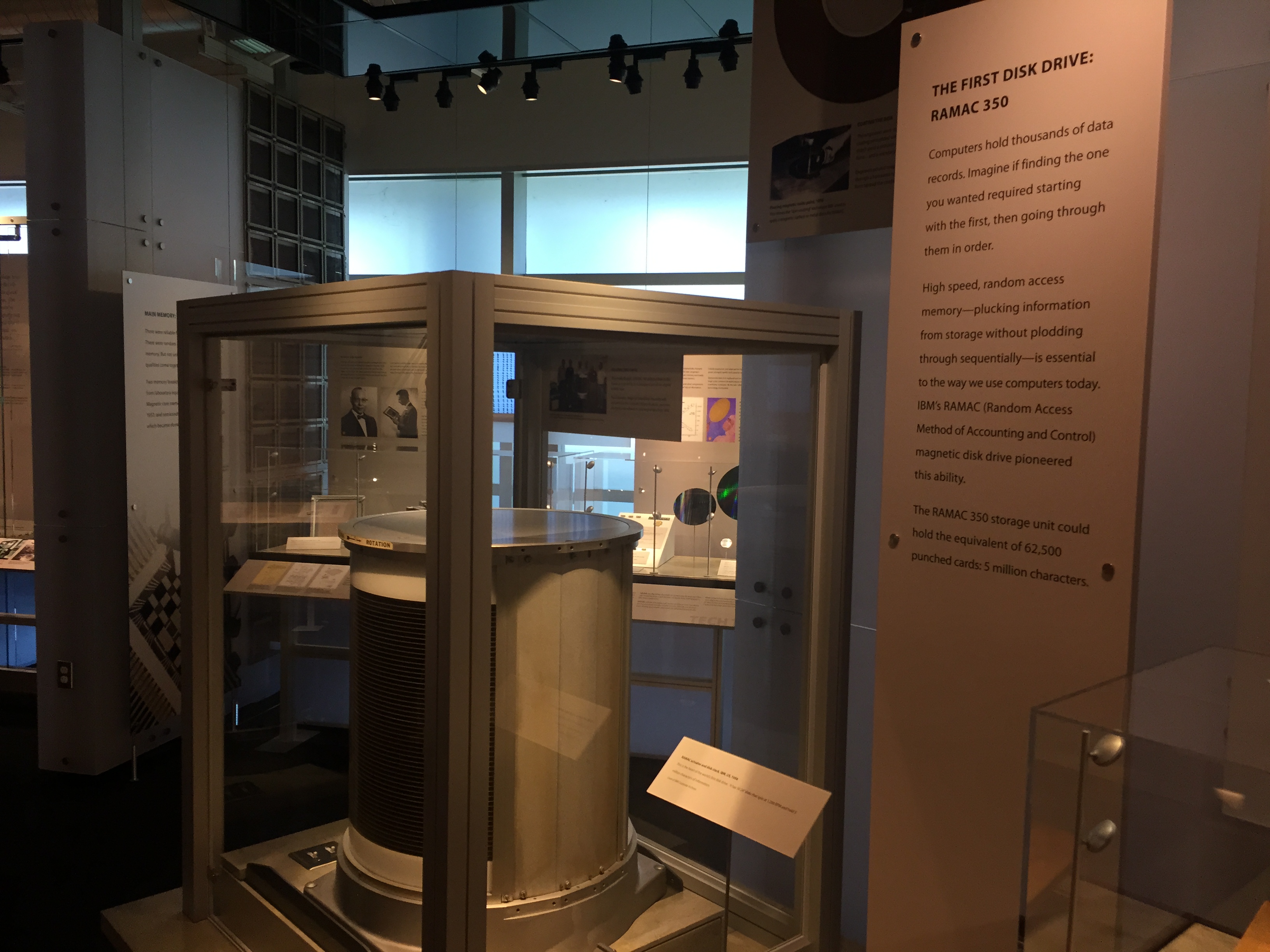
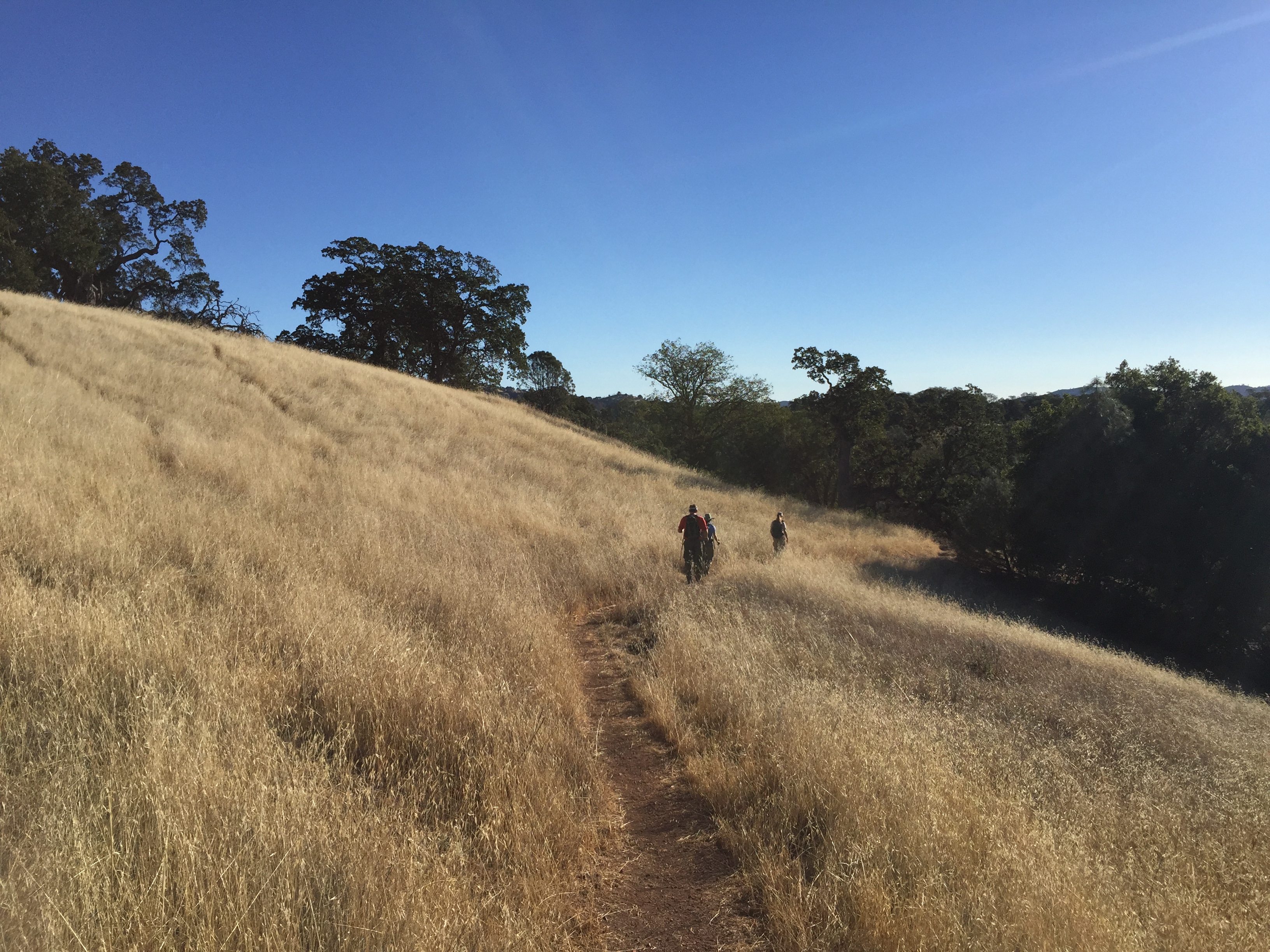
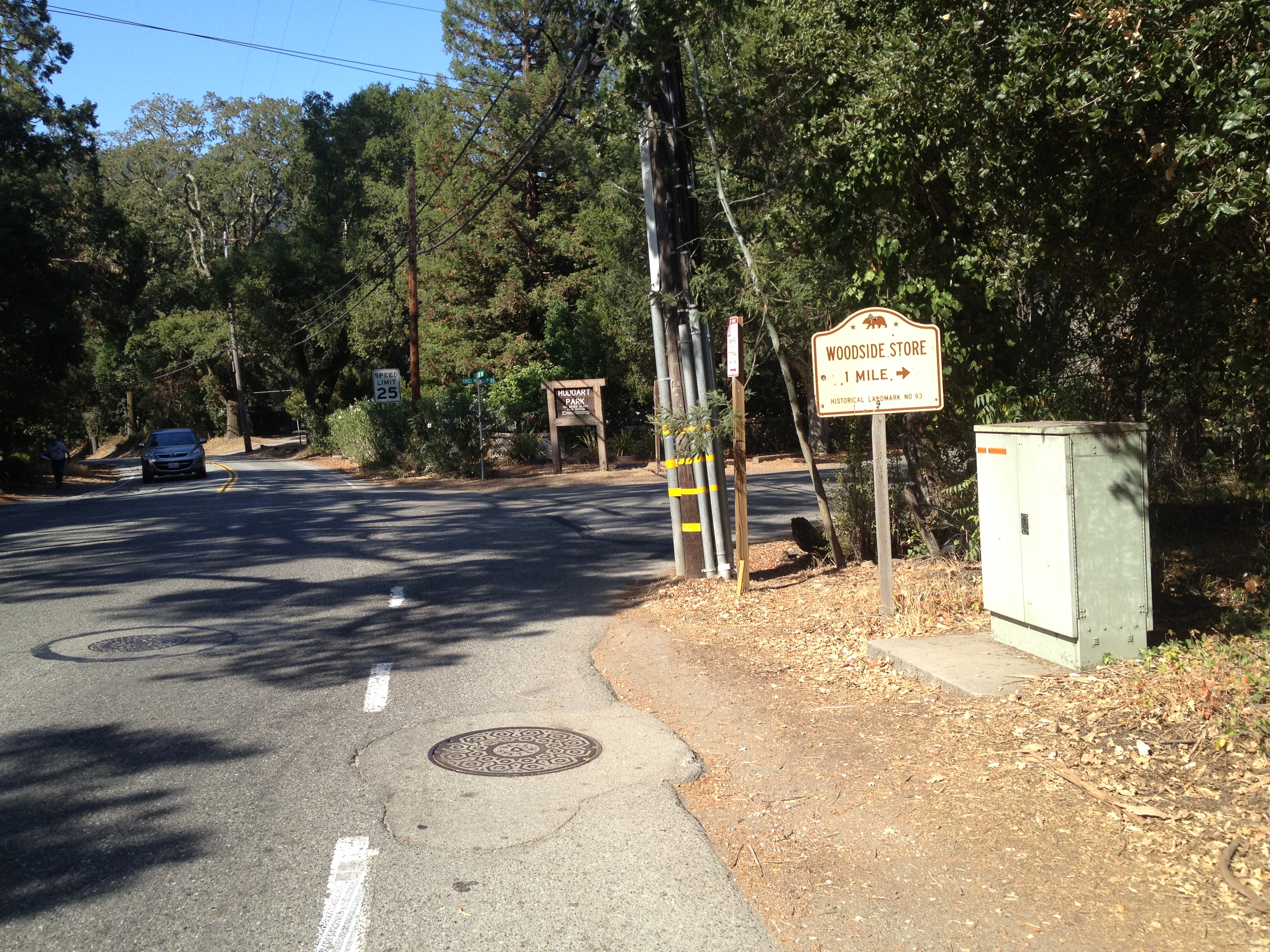
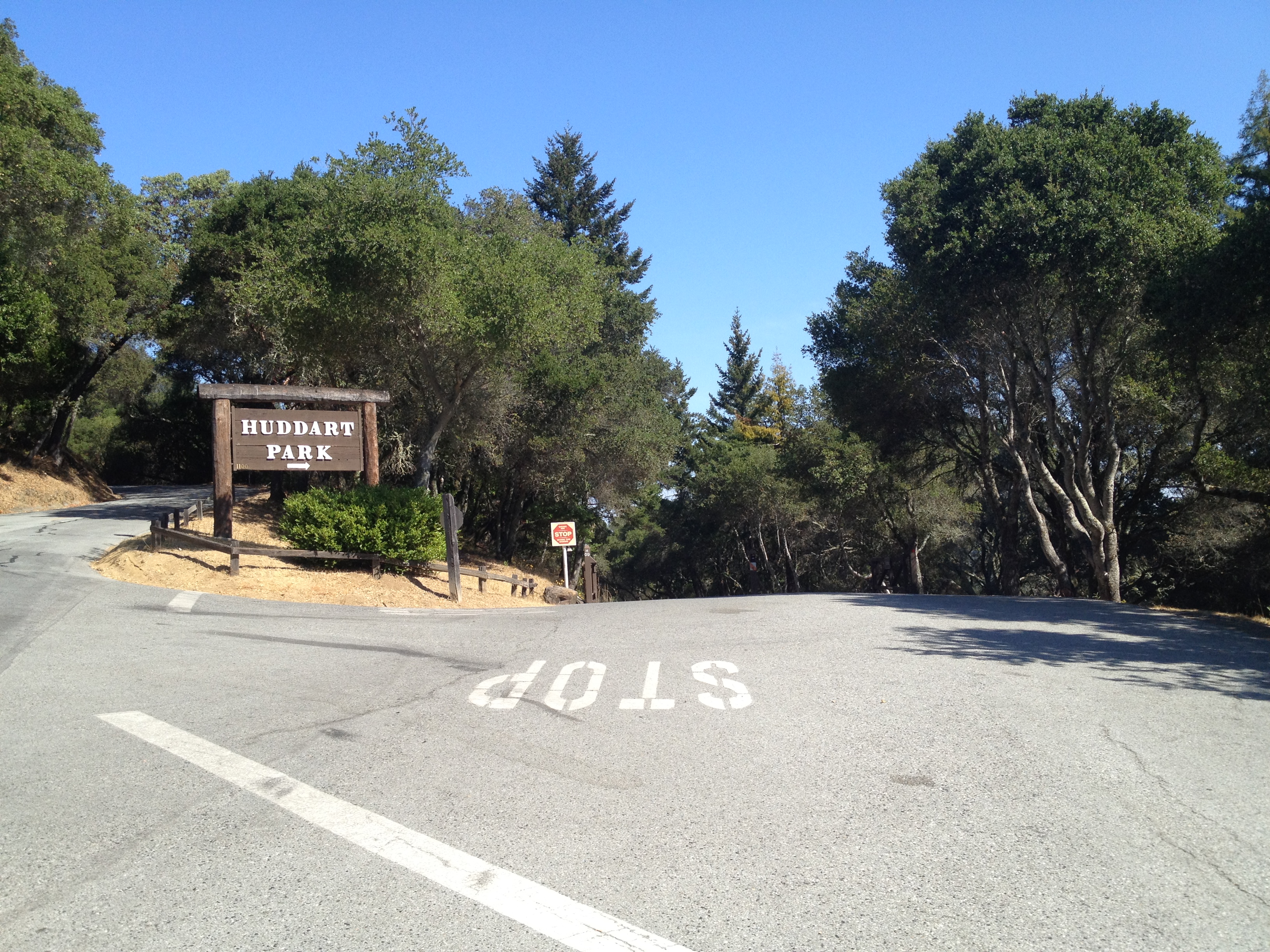
One of my favorite cycling loops is to park my car in Woodside or Portola Valley and do a nice counterclockwise loop over the Santa Cruz mountains! I park in either of two locations: the bottom of Windy Hill Open Space, or behind the newer location of Roberts Market in Portola Valley (Alpine Road at Portola Road). Roberts is a “mandatory” stop for an Arizona Iced tea (or a Boddington’s in a paper bag)  and one of their small pre-packaged scraps of exotic cheese when I’m done. (I’m getting ahead of myself!)

IMG_4114

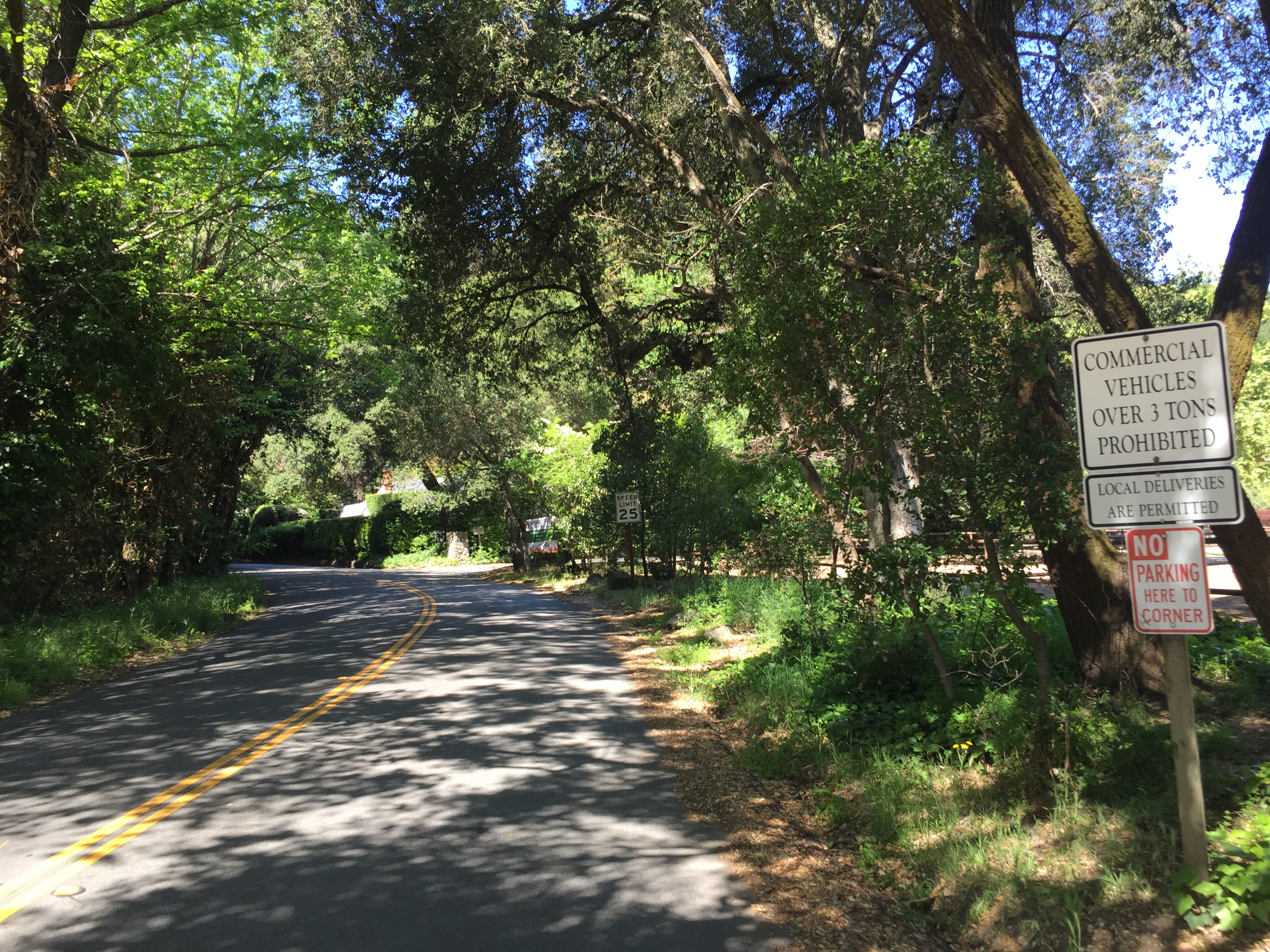
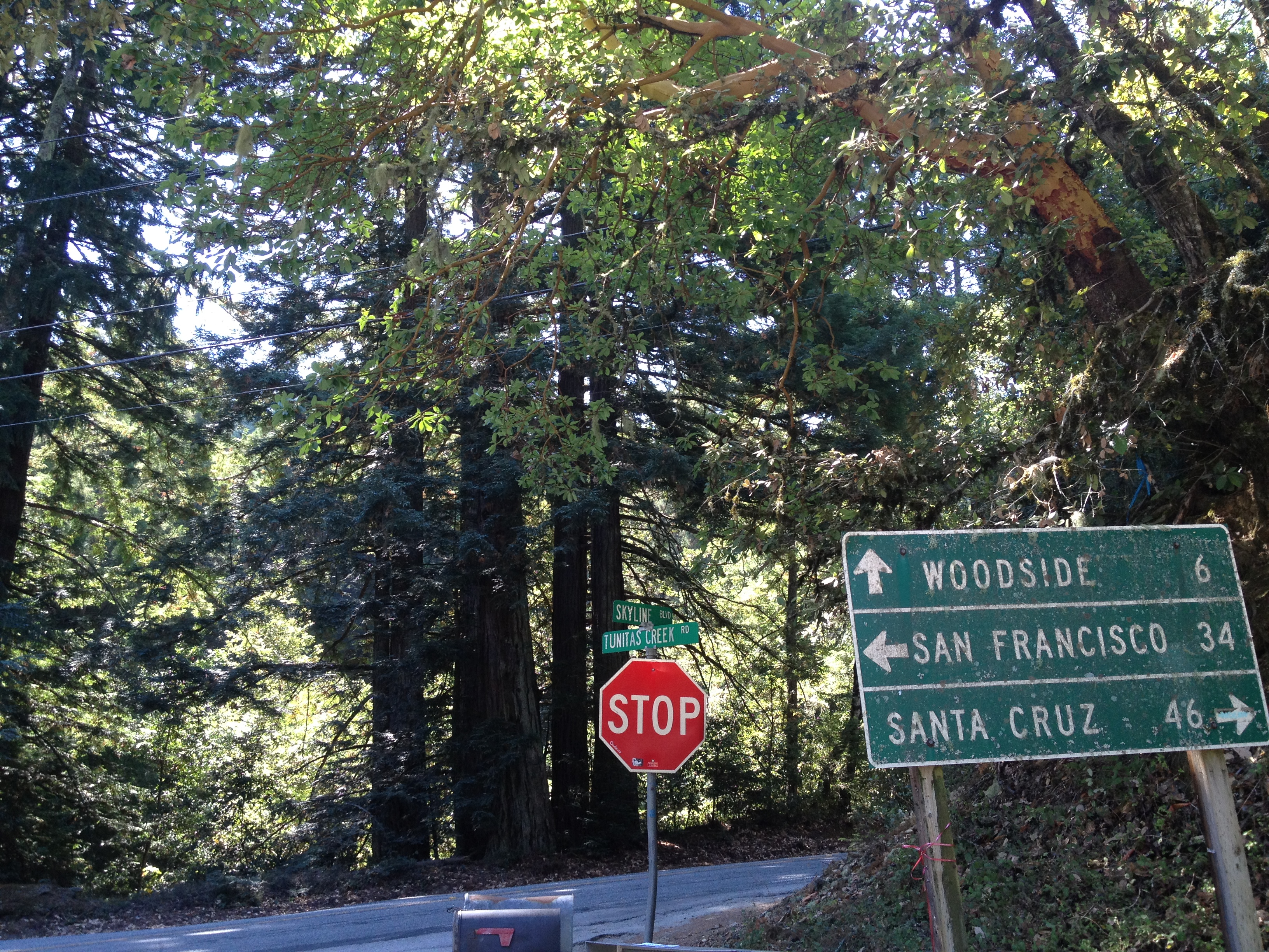
A few miles of flat-to-downhill, heading NW, Portola Road takes you to the bottom of Old La Honda Road (“OLH”). OLH is quite well know by cyclists as a safe and scenic (and steep, but not “insanely steep”) route up to Skyline Blvd, as well as over the other side towards the town of La Honda.

OLH is also used as a measure of fitness in a local club’s ride classification system http://westernwheelersbicycleclub.memberlodge.com/page-1374754 (I used to be a “B” but have moved up to a “C”.) This is the beginning of OLH:

IMG_4025

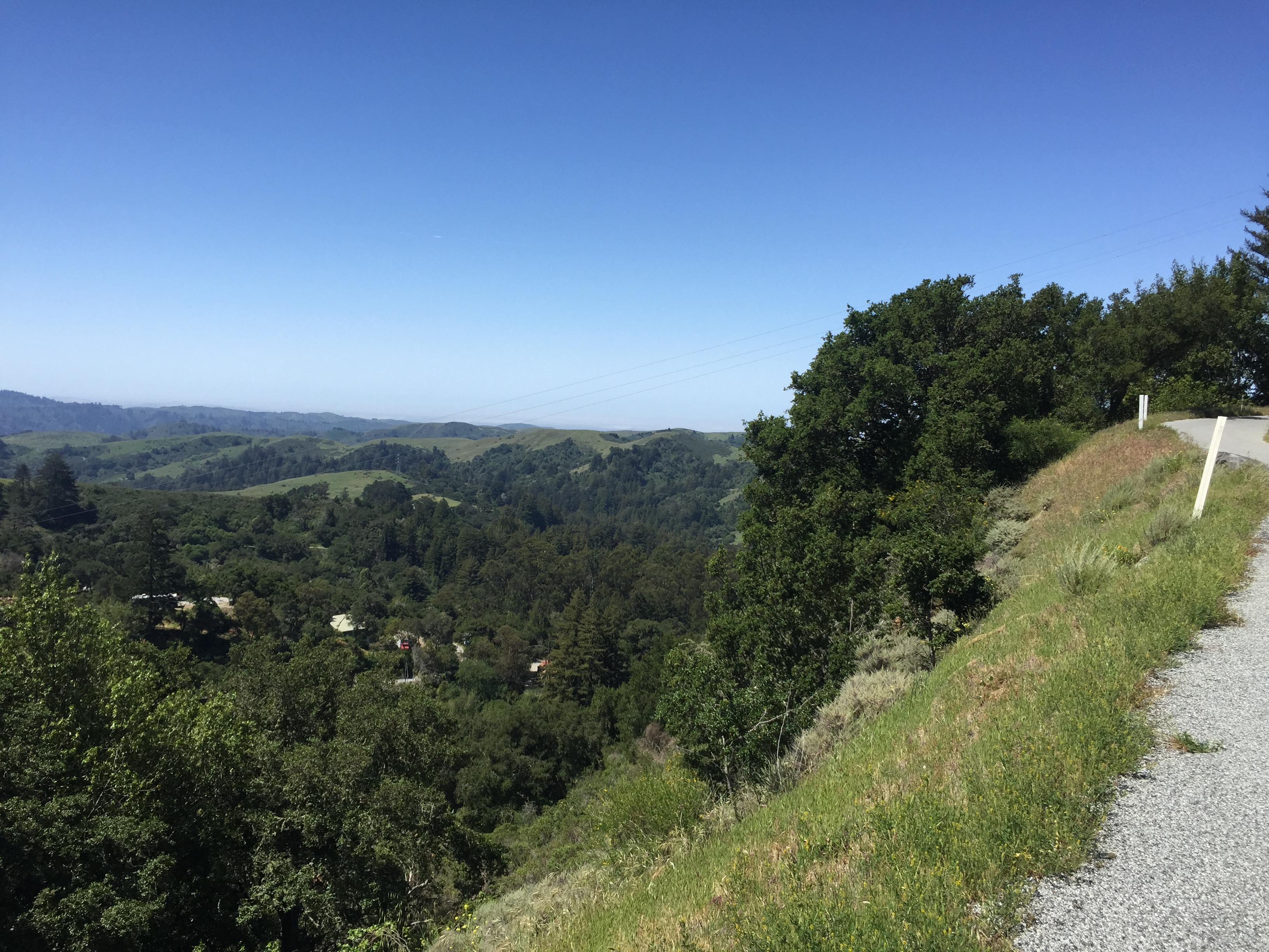
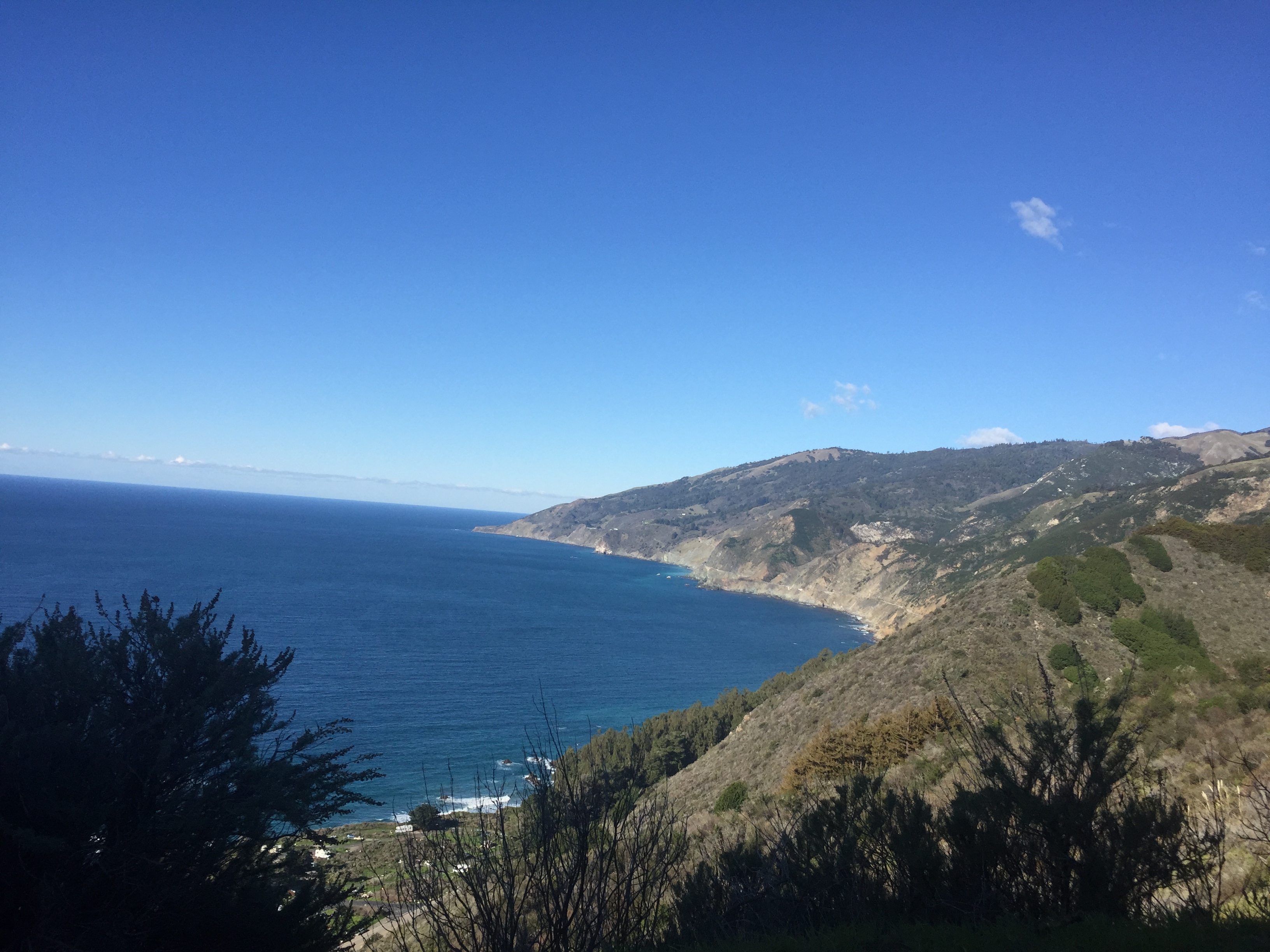
Eventually you’ll climb up past some large and often interesting, homes through the redwood trees, to Skyline Blvd. Crossing over Skyline you’ll eventually break out of the redwoods down to some great coastal views as you descend. This picture actually includes the fogged-over coast in the background:

IMG_4044

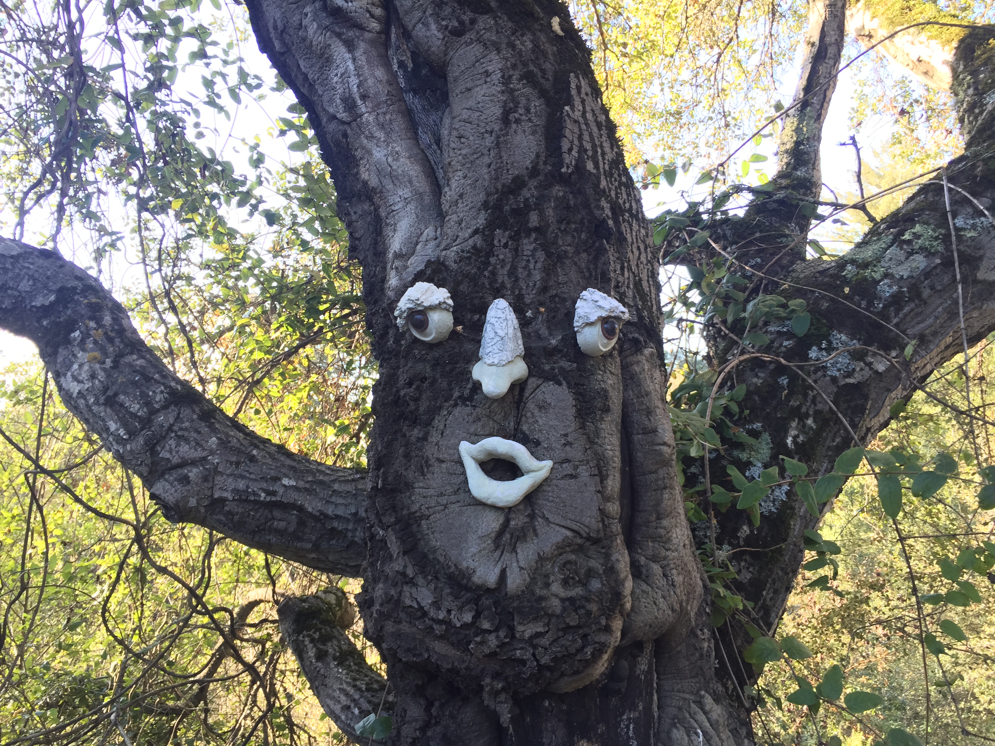
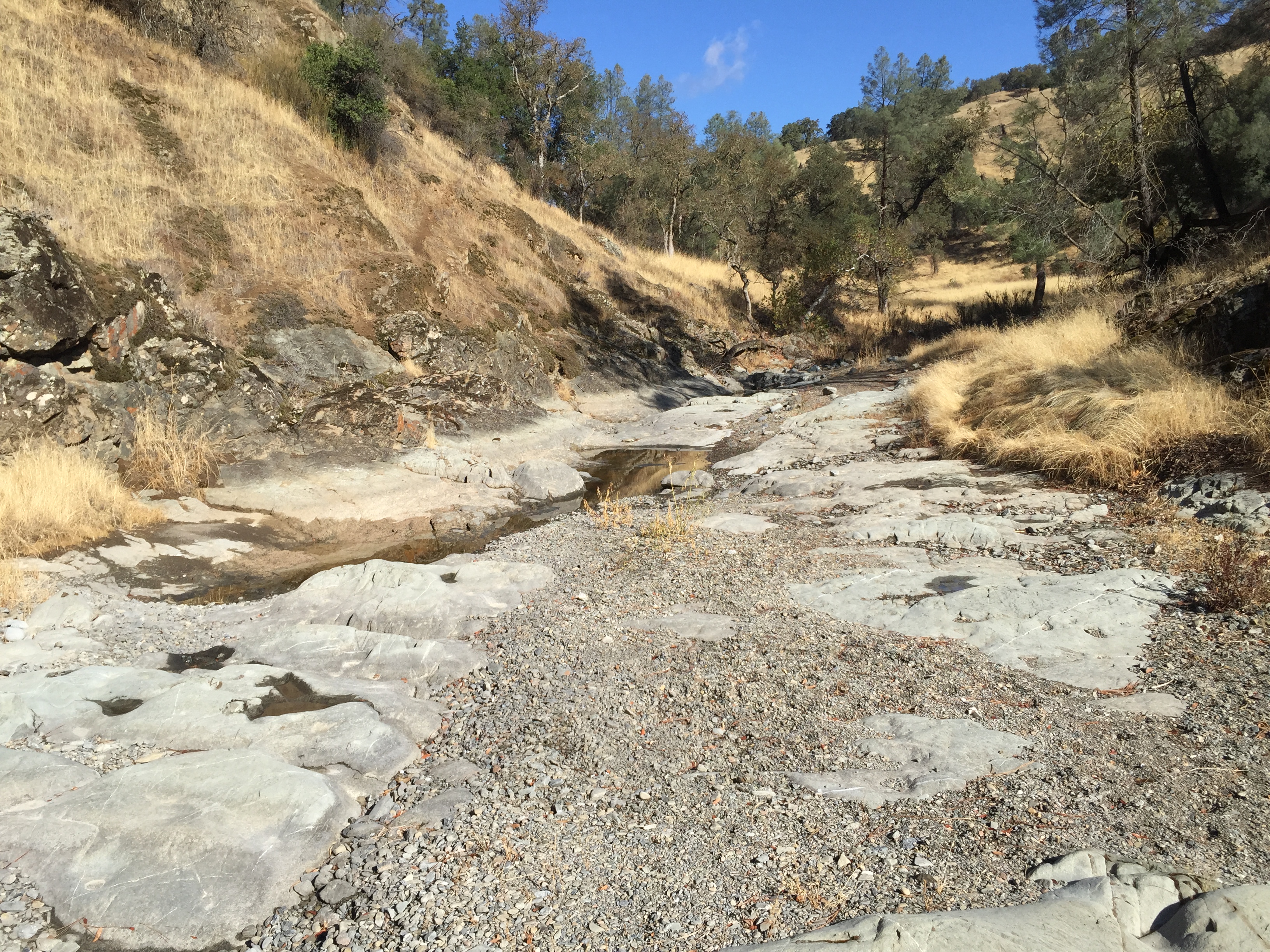
It’s easy to miss the semi-famous Jurassic Faces, carved into the sandstone:

IMG_4046

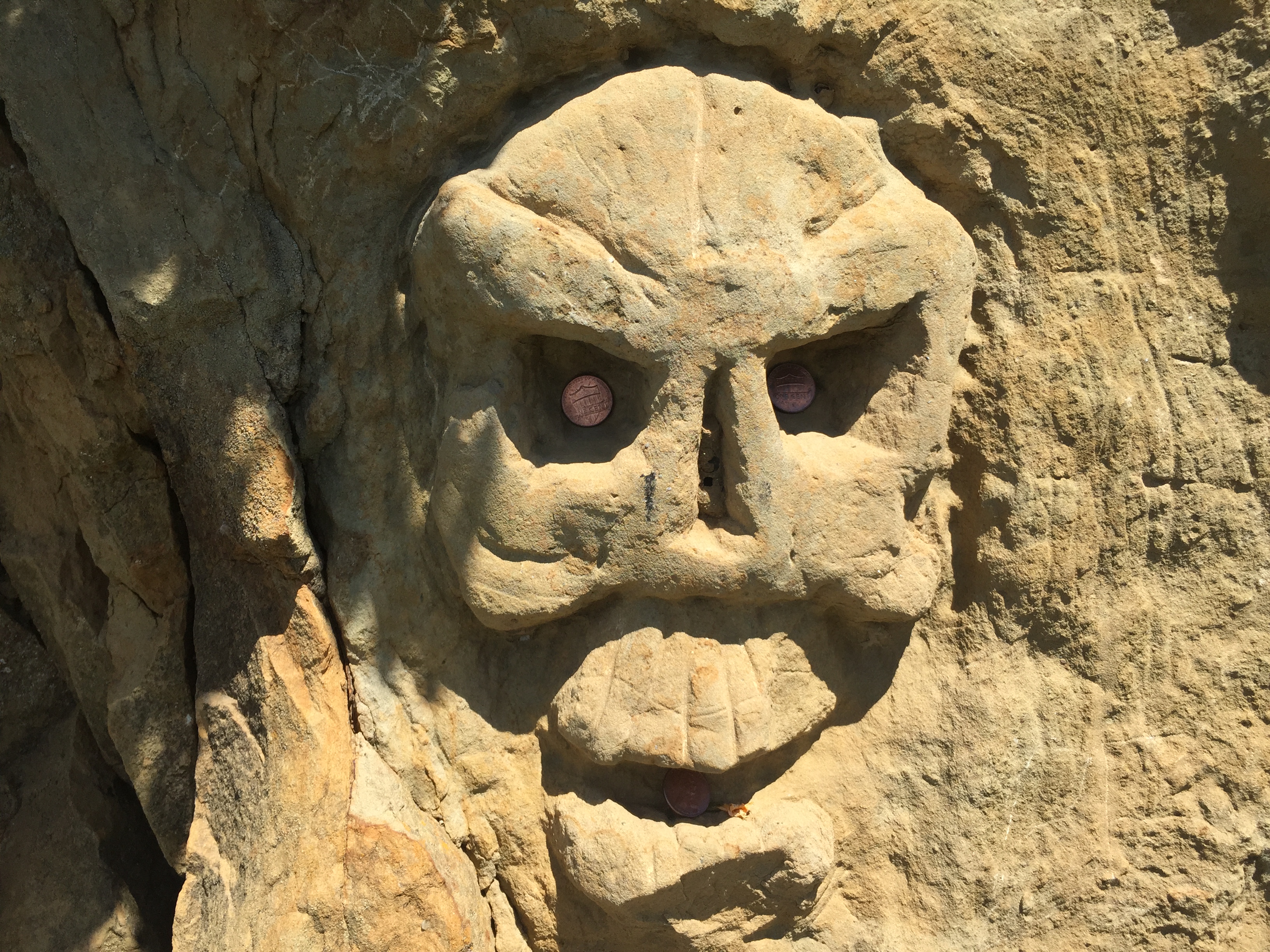
Look for them on your left, as you descend past the lengthy sandstone cutaway next to the road. This photo is looking back uphill:

IMG_4048

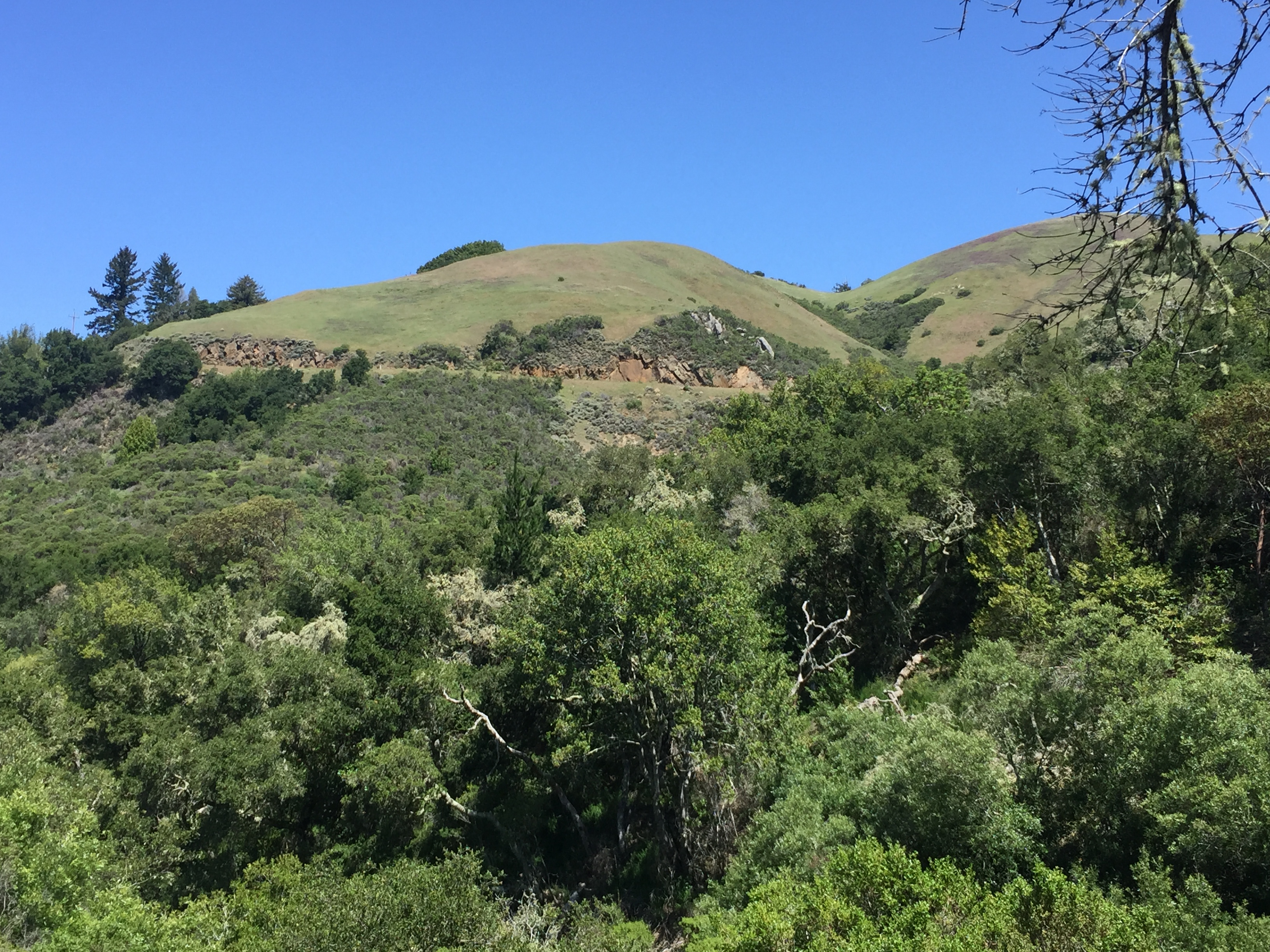
…and this photo is that road cut from across the valley:

IMG_4050

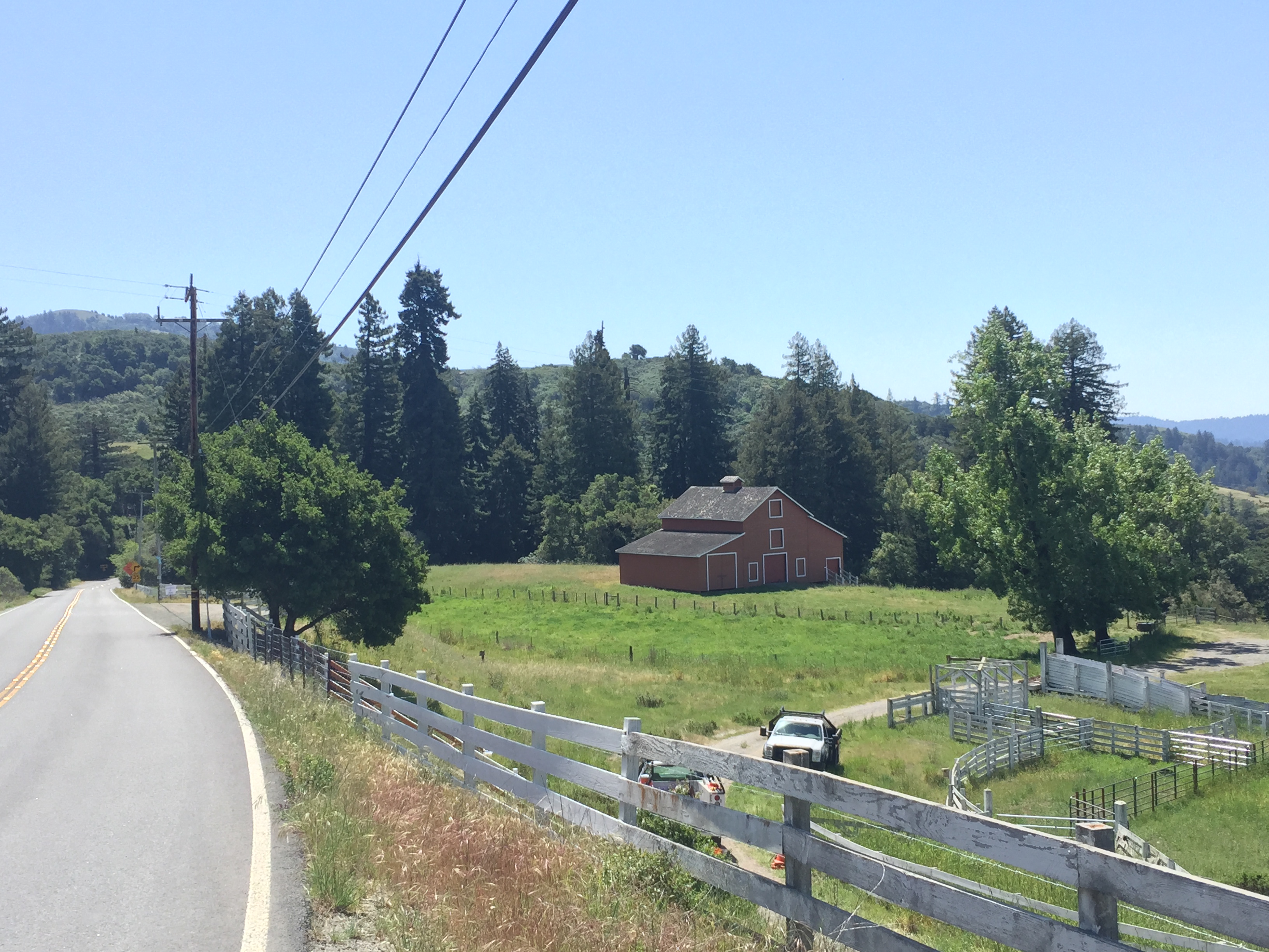
Eventually the VERY quiet road merges with Highway 84, just before the red barn, which is now part of the (Permit only) La Honda Creek Open Space Preserve:http://www.openspace.org/preserves/pr_la_honda.asp

IMG_4052

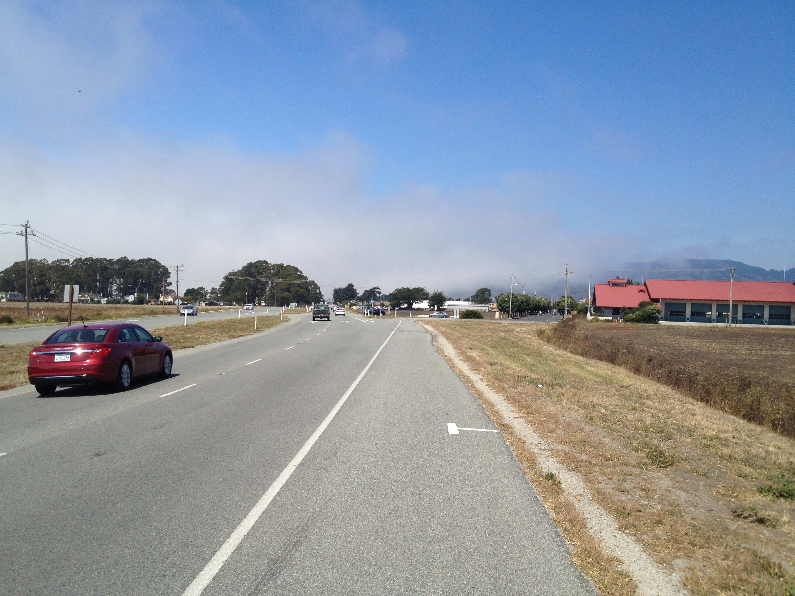
Highway 84 is a major route to the coast, but it has a decent shoulder and I feel safe in the downhill direction.

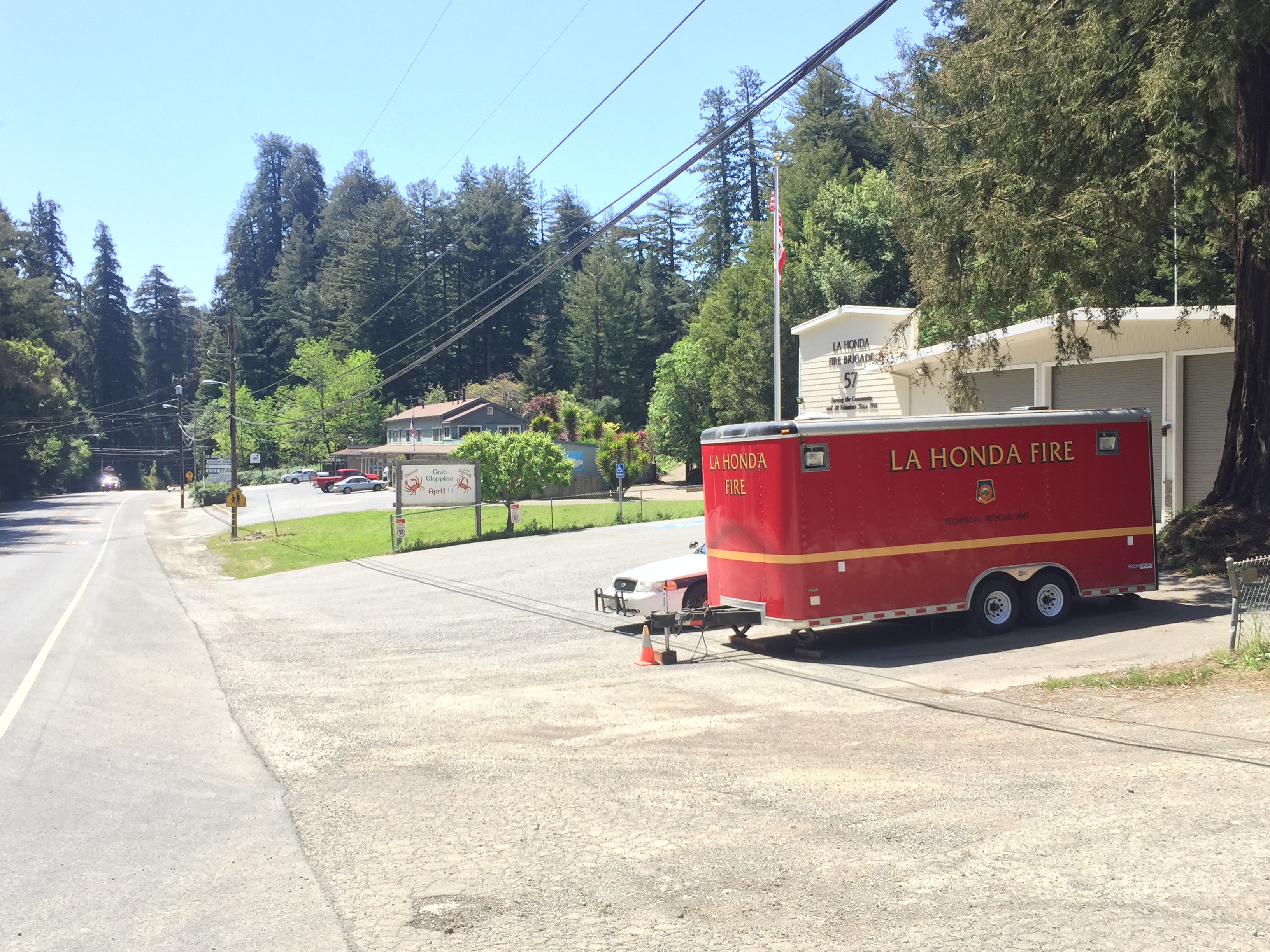
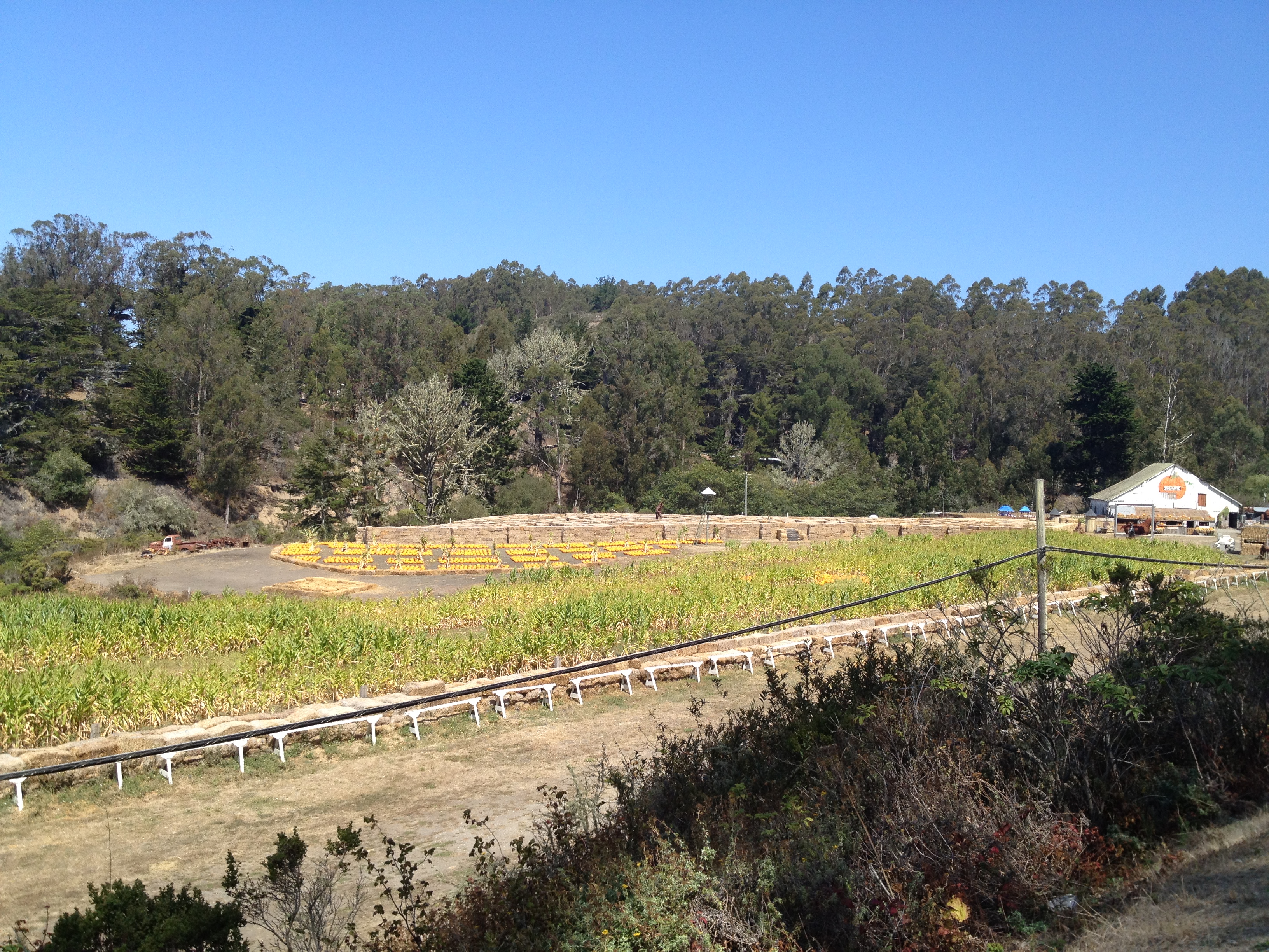
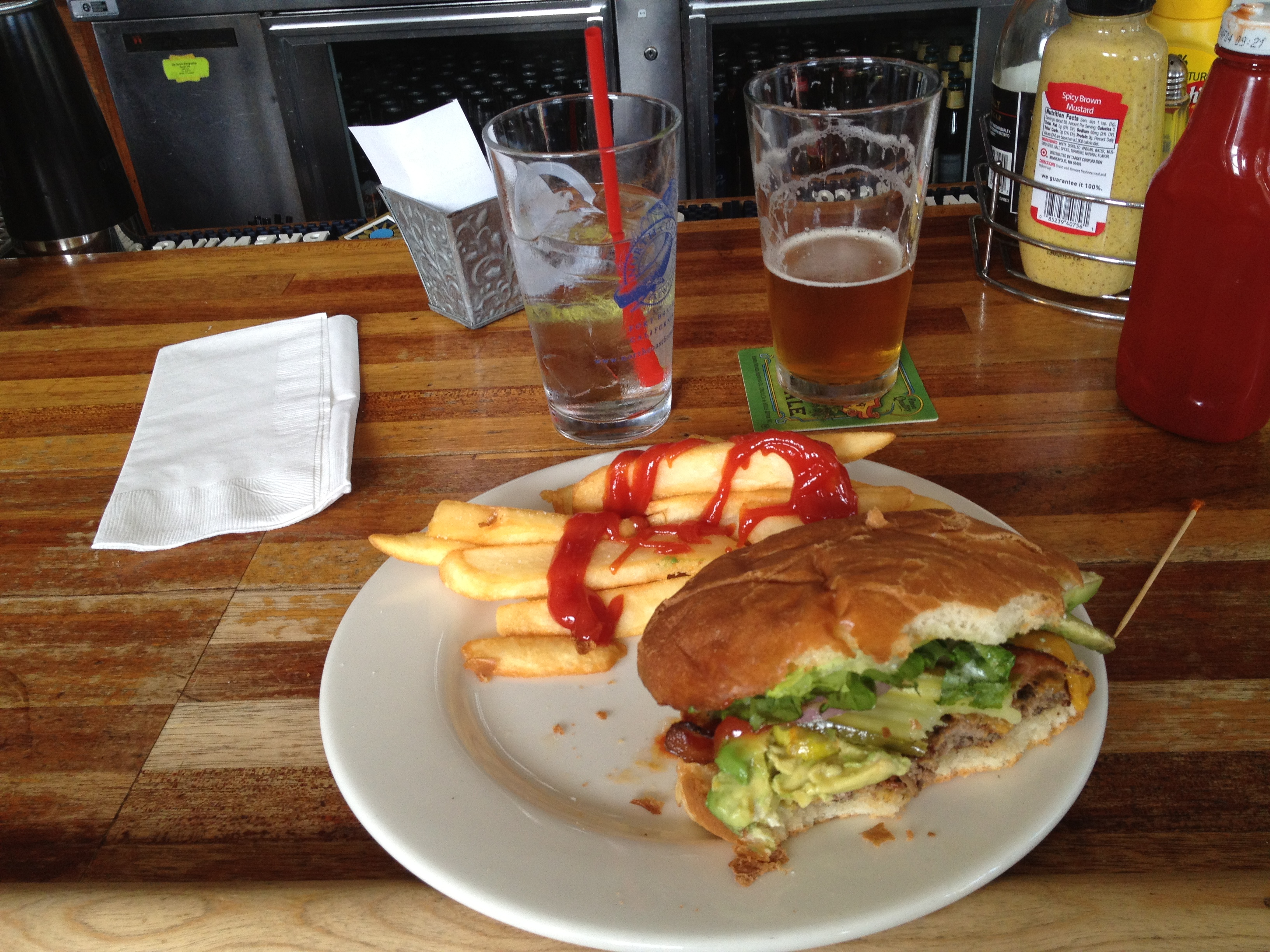
Soon you’ll see the little town of La Honda. On your right will be the Fire Station, followed by a small plaza with the Post Office and Country Store. The store has great sandwiches, and you can take them across the street to Applejack’s Bar if you want!

IMG_4055

IMG_4064

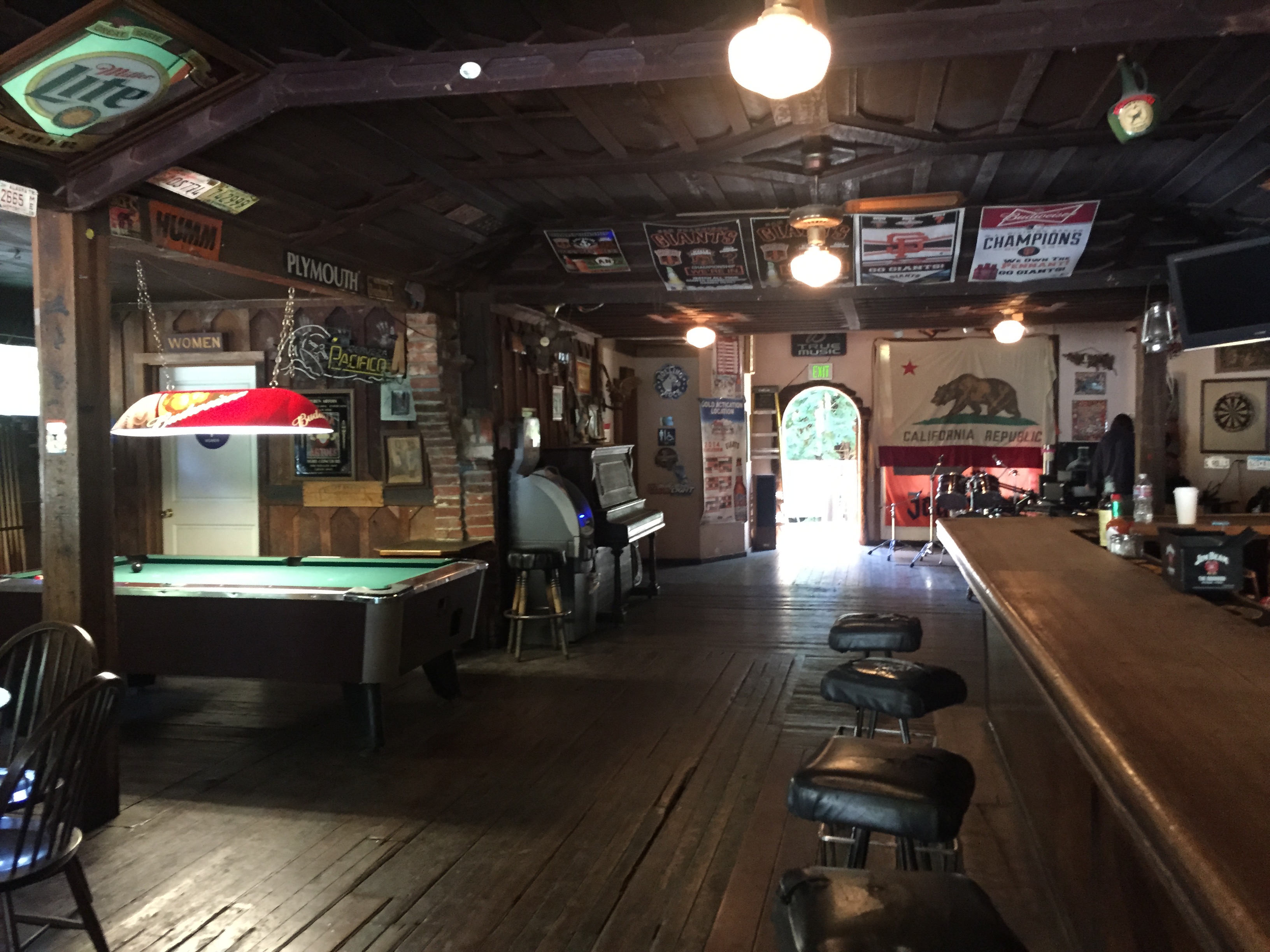
Applejack’s was actually a 19th century blacksmith shop, with some sections of their wood floor being VERY old, or maybe “original”. Their weekday hours are a bit inconsistent and they don’t have a website. Quaint little place! http://www.yelp.com/biz/apple-jacks-la-honda-2

IMG_4065

Between Applejacks and the Country Store is the town’s only crosswalk. If you go uphill to the left, you can explore a maze of homes and cottages where most of the residents live.

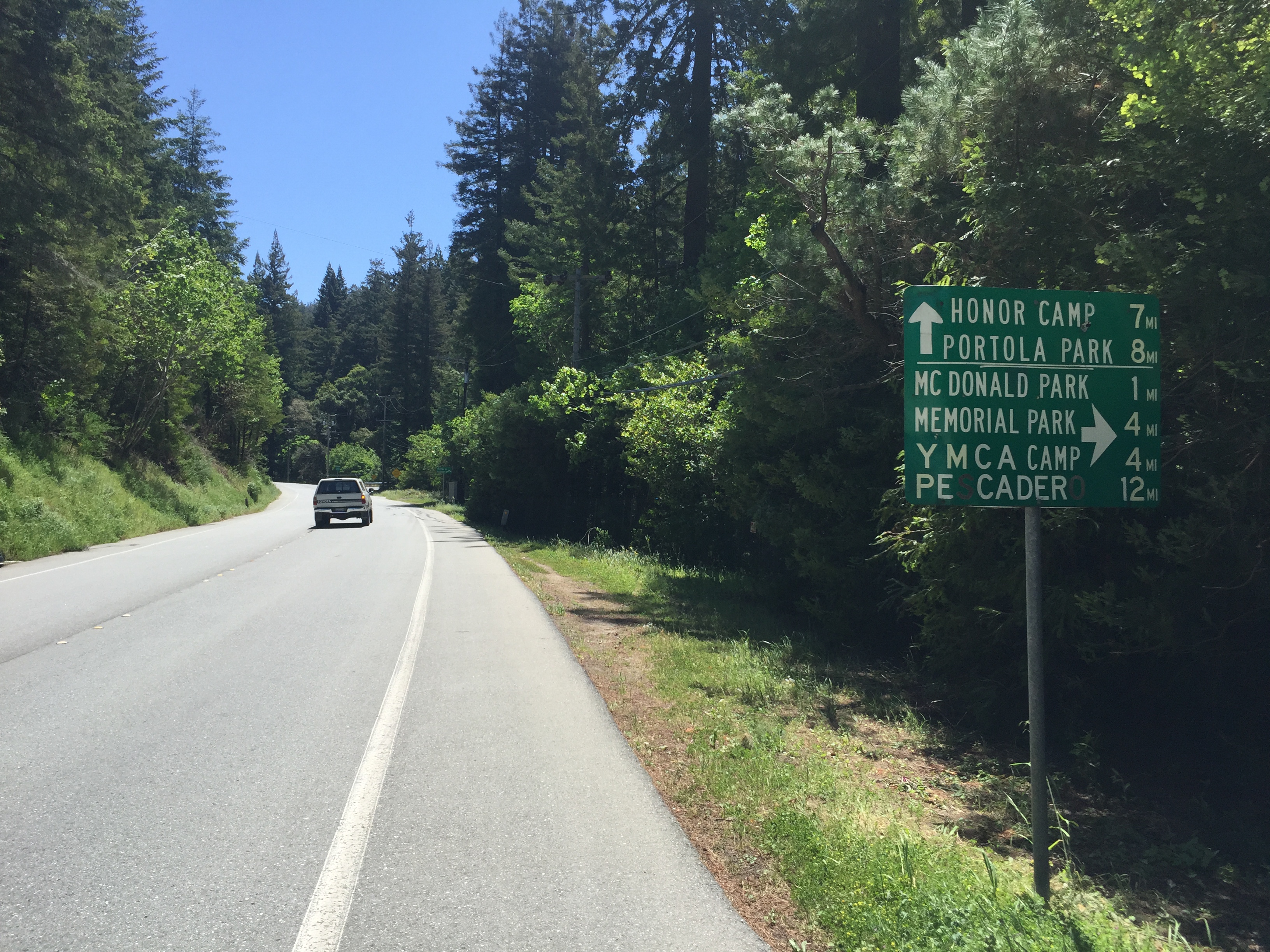
Continuing down Highway 84, turn left after about a mile onto Pescadero Road. This is also a major route the coast and to (guess where?) “Pescadero!”.

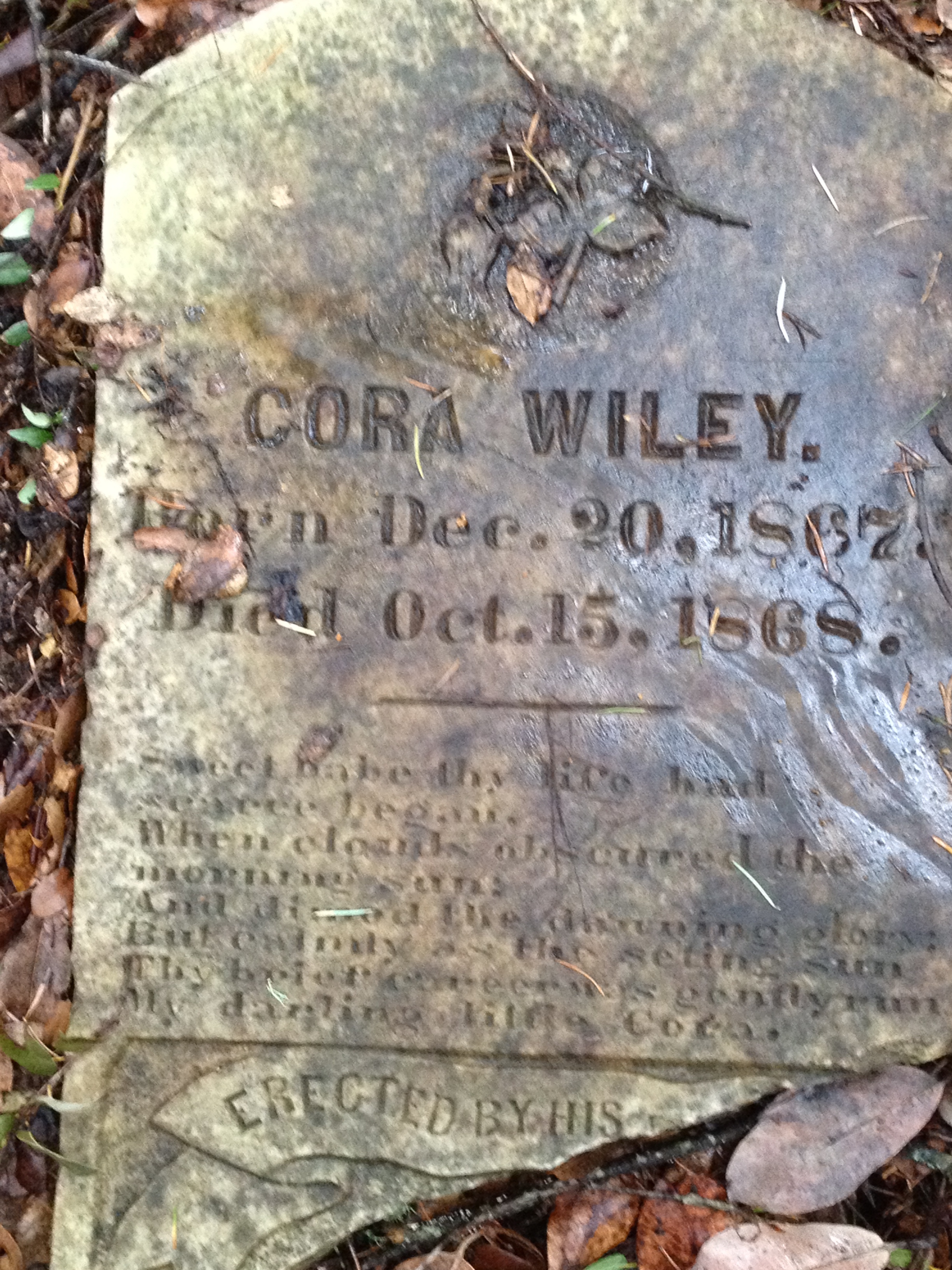
(If you’re interested in going a bit “Further” [sic][“Are you on the bus?”] and looking for an “Electric Kool-Aid Acid Test”, continue down past the Pescadero Road turnoff. I’ve been told that Ken Kesey’s old place is on the left at 7940 La Honda Road)

IMG_4071

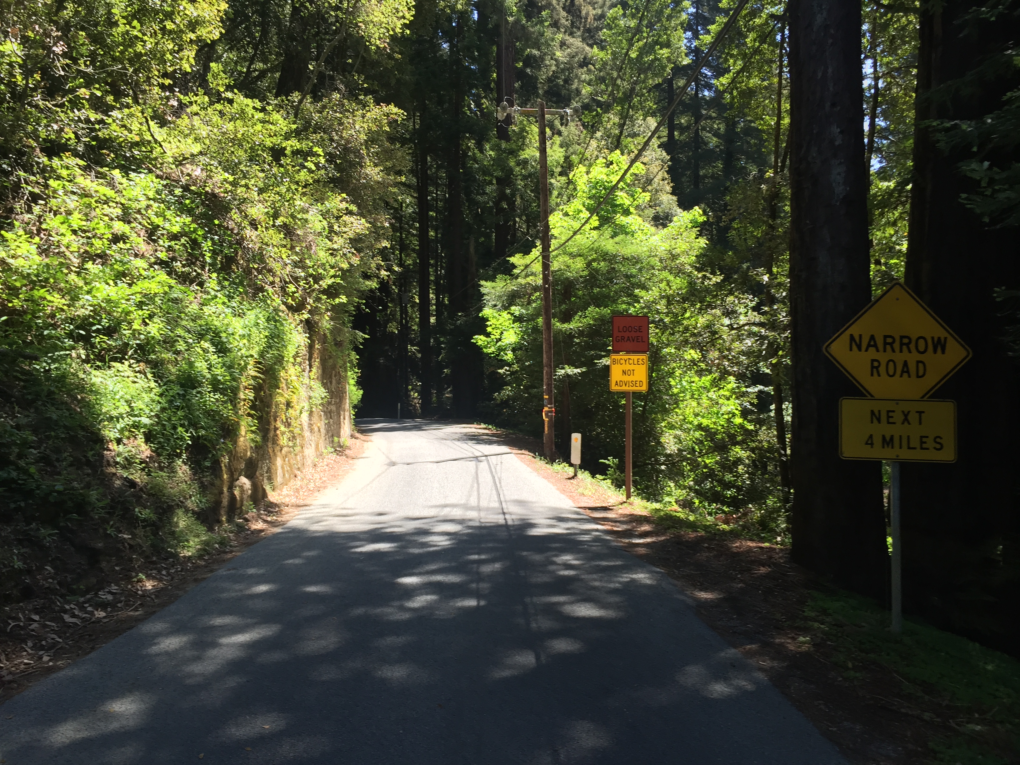
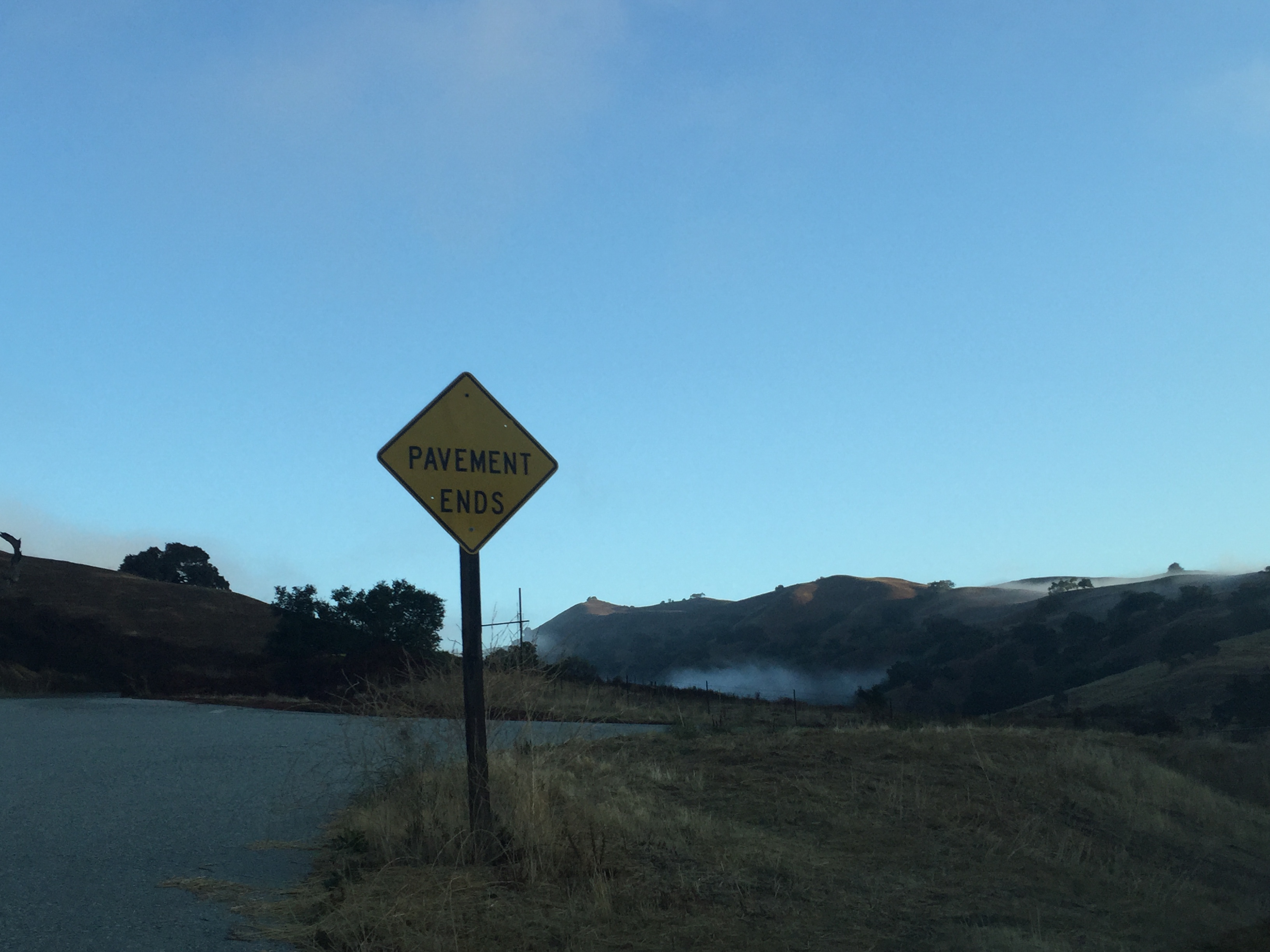
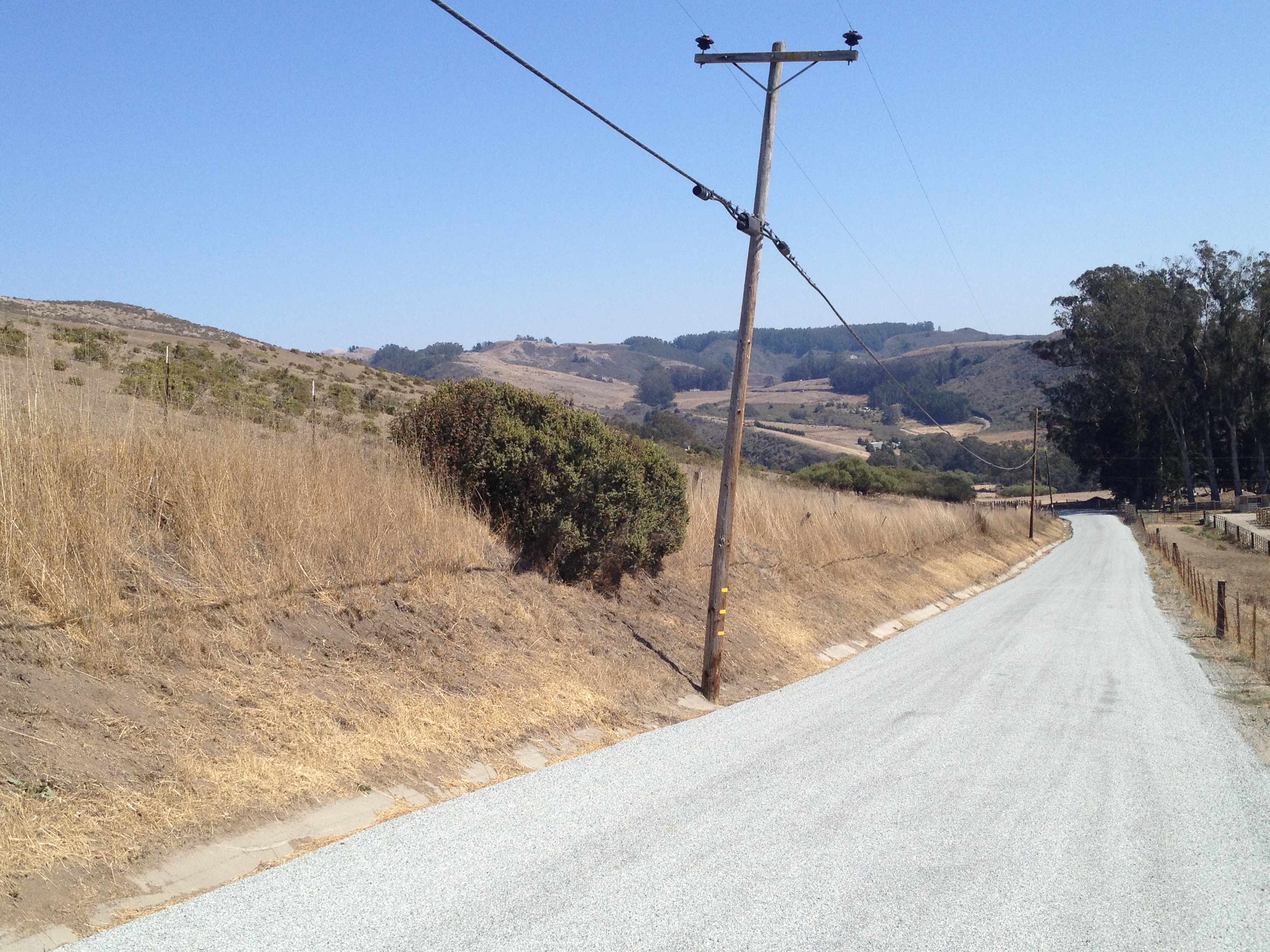
Tourists and stronger cyclists usually stay on Pescadero Road to the coast. My usual route is to bear left after about another mile onto the beginning of Alpine Road. (The “bicycles not advised” sign has been there since they “gravelled” the road last year. It’s perfectly fine now!)

IMG_4080

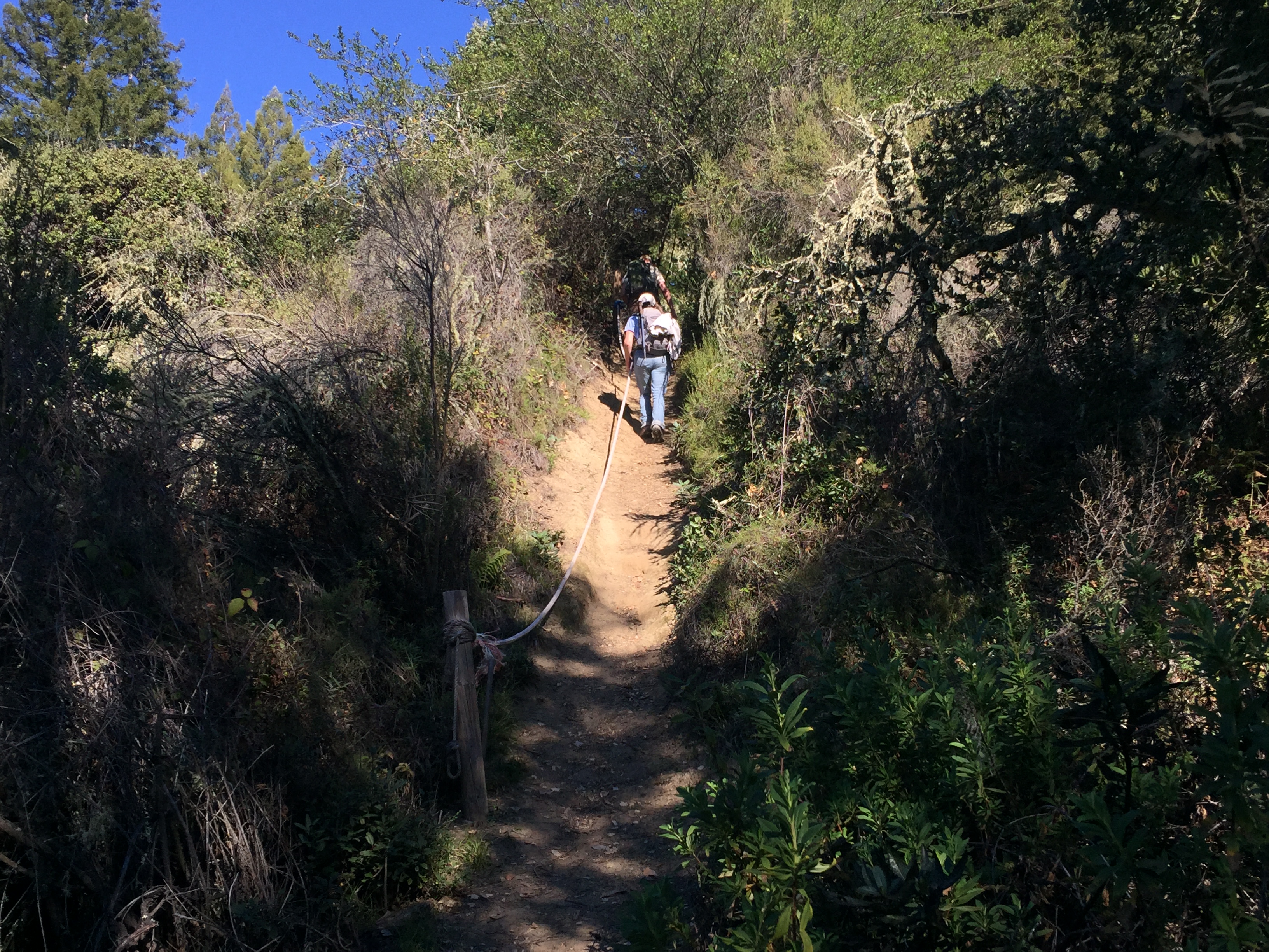
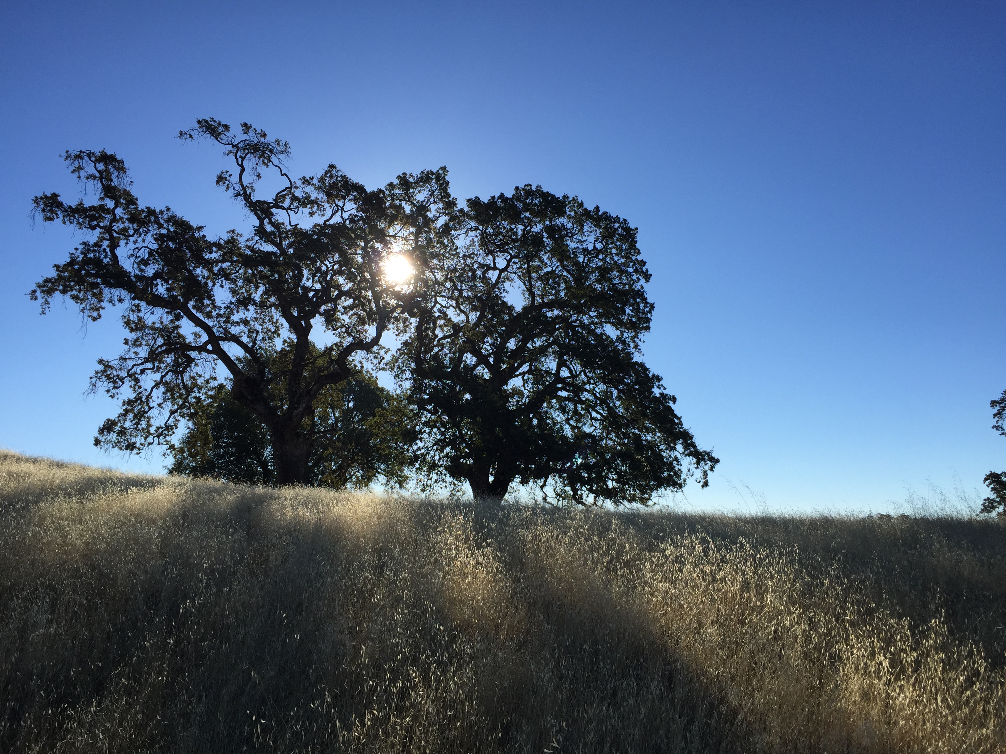
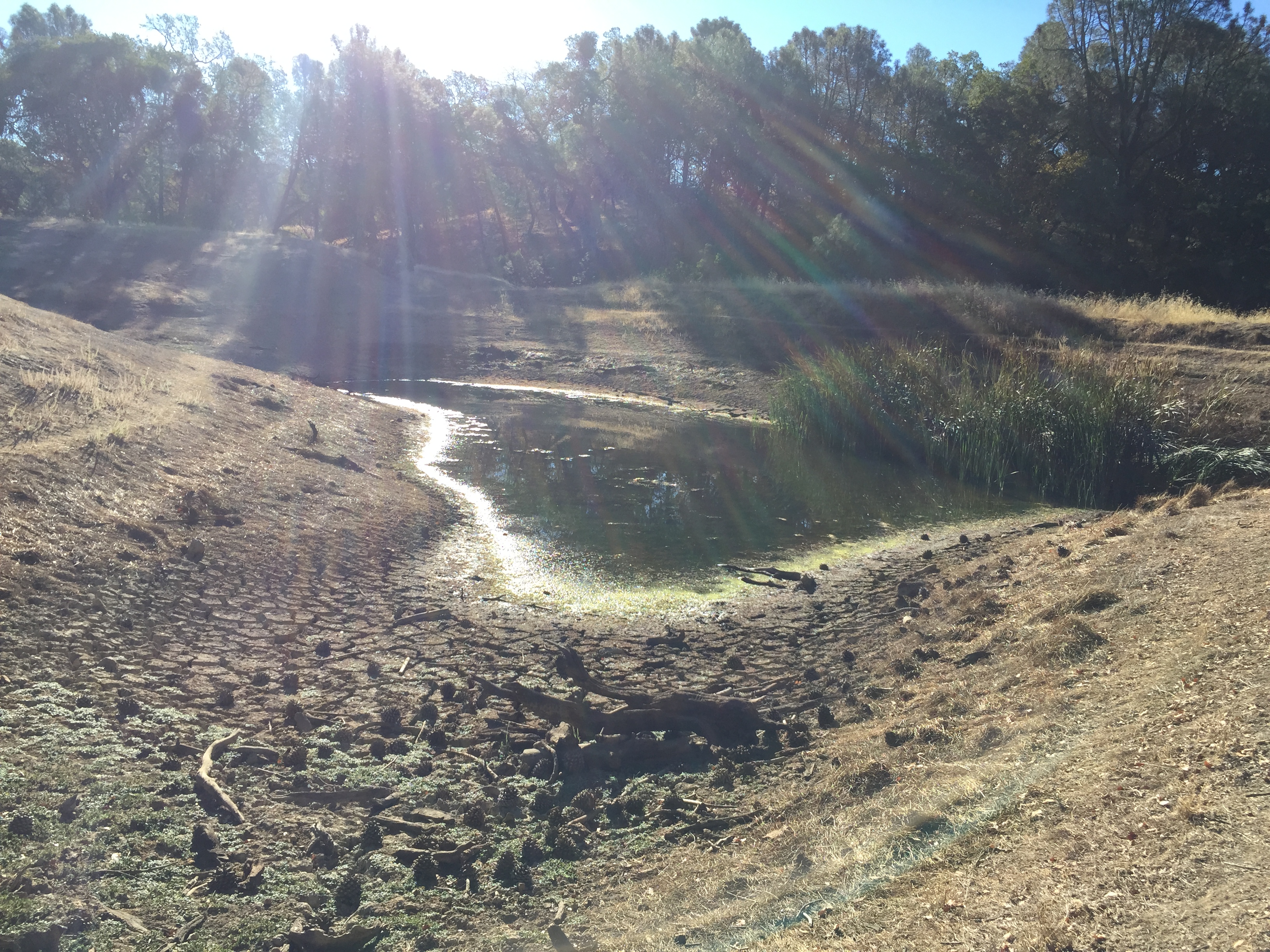
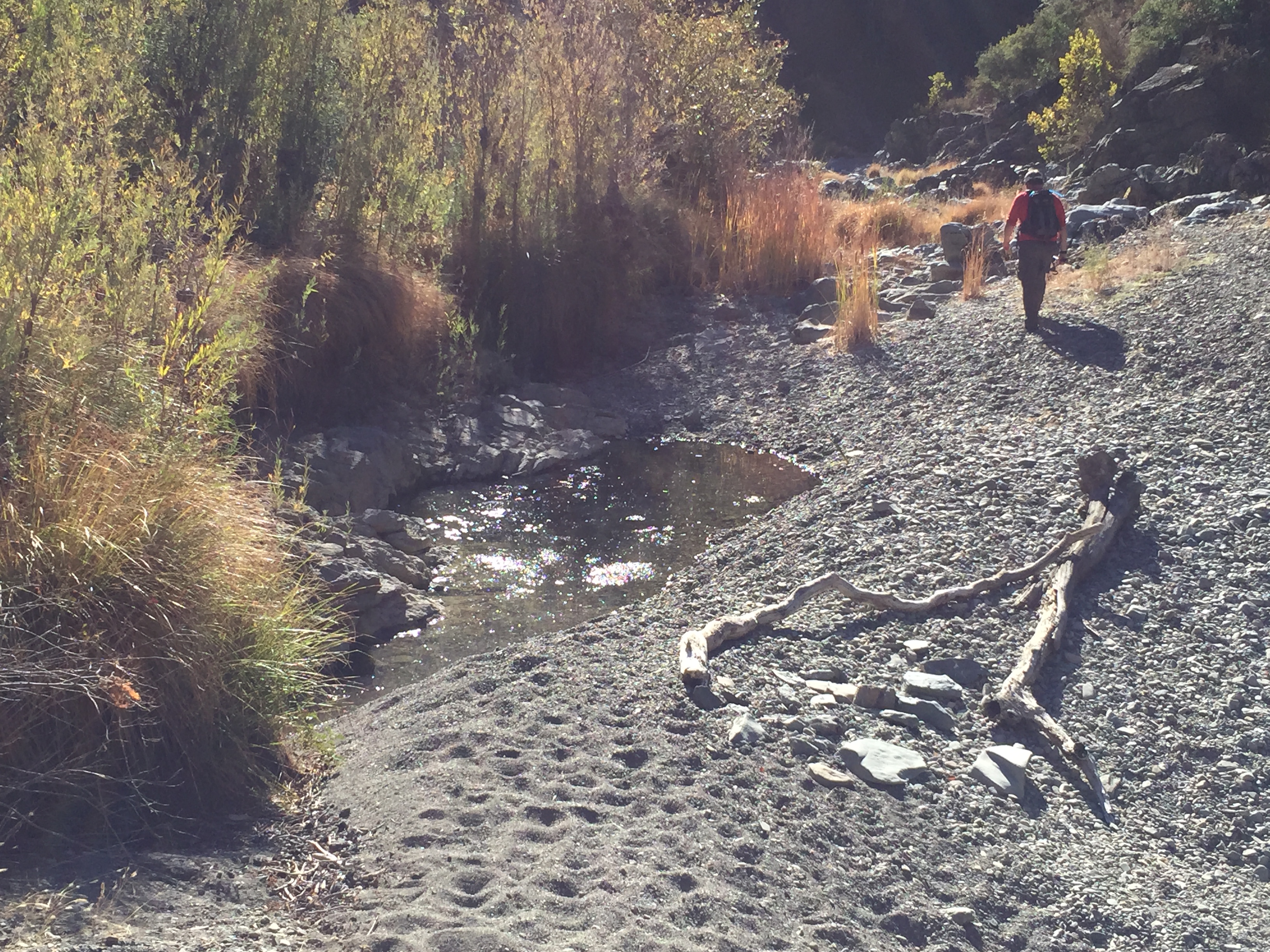
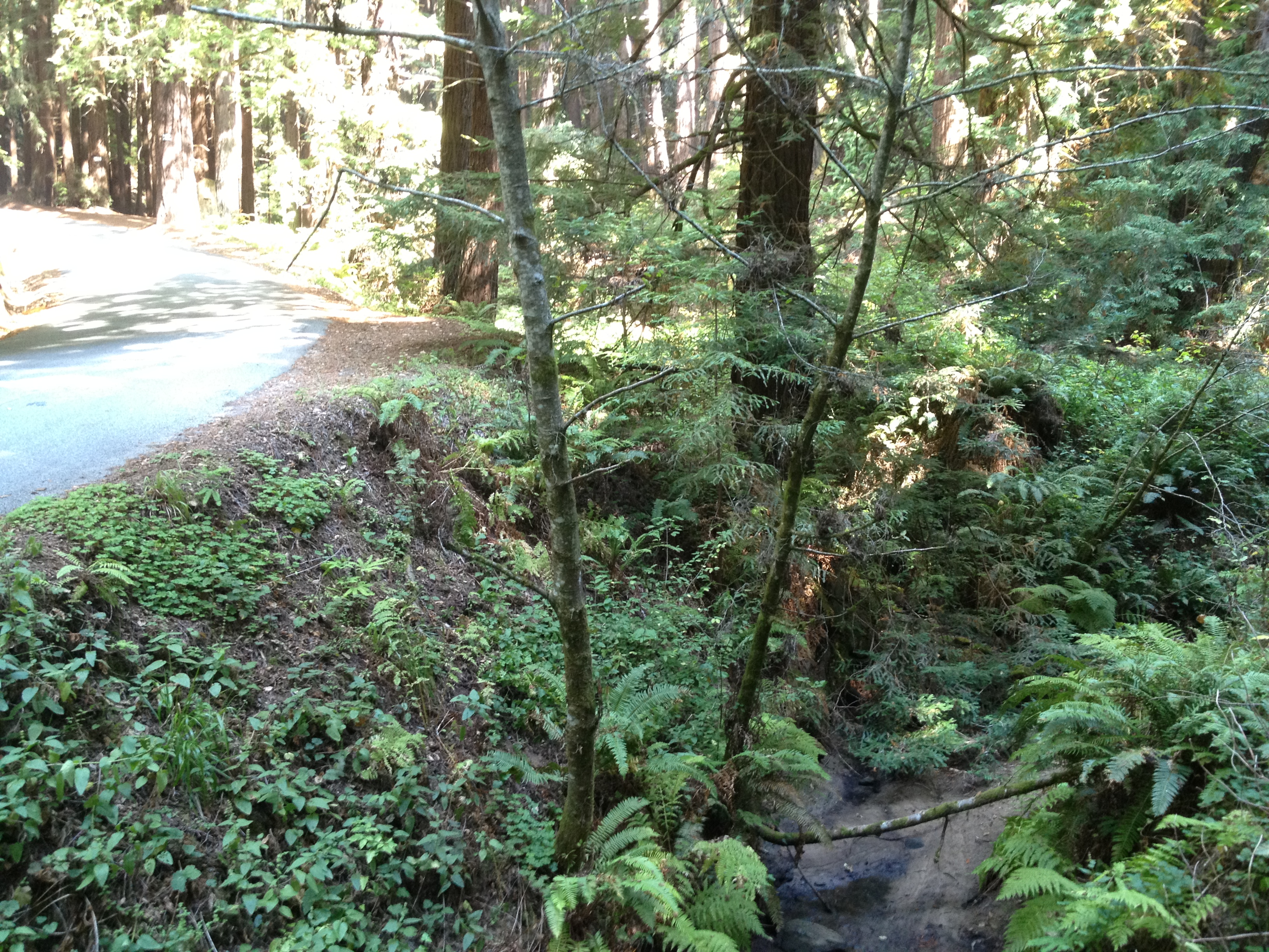
Quiet, peaceful redwood forest, with a creek burbling near the road.

IMG_4086

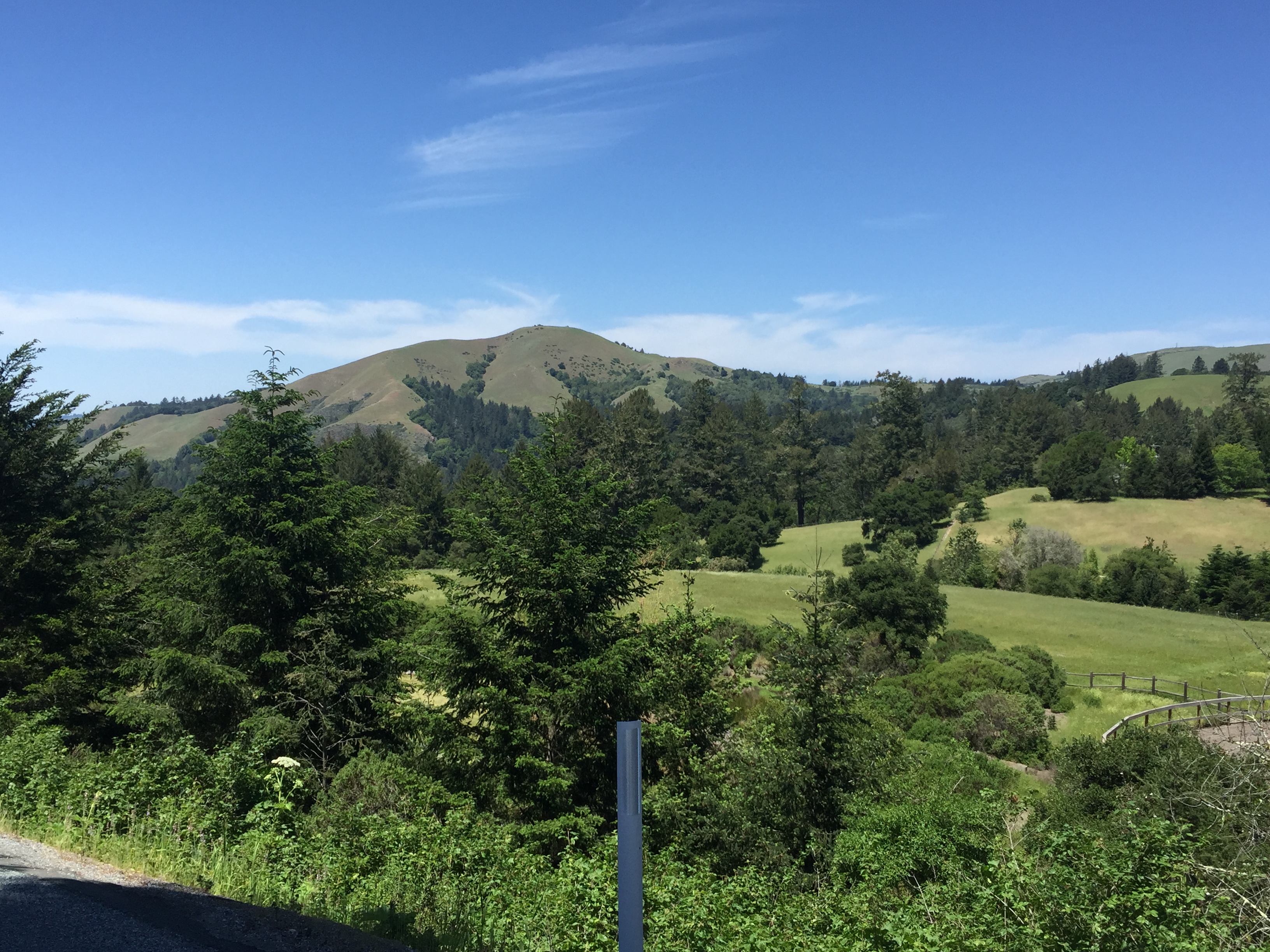
…and views of Mindego Hill from the downhill side. Mindego Hill is a landmark hill, recently added to Russian Ridge Open Space, but not yet open http://www.openspace.org/preserves/pr_russian_ridge.asp

IMG_4093

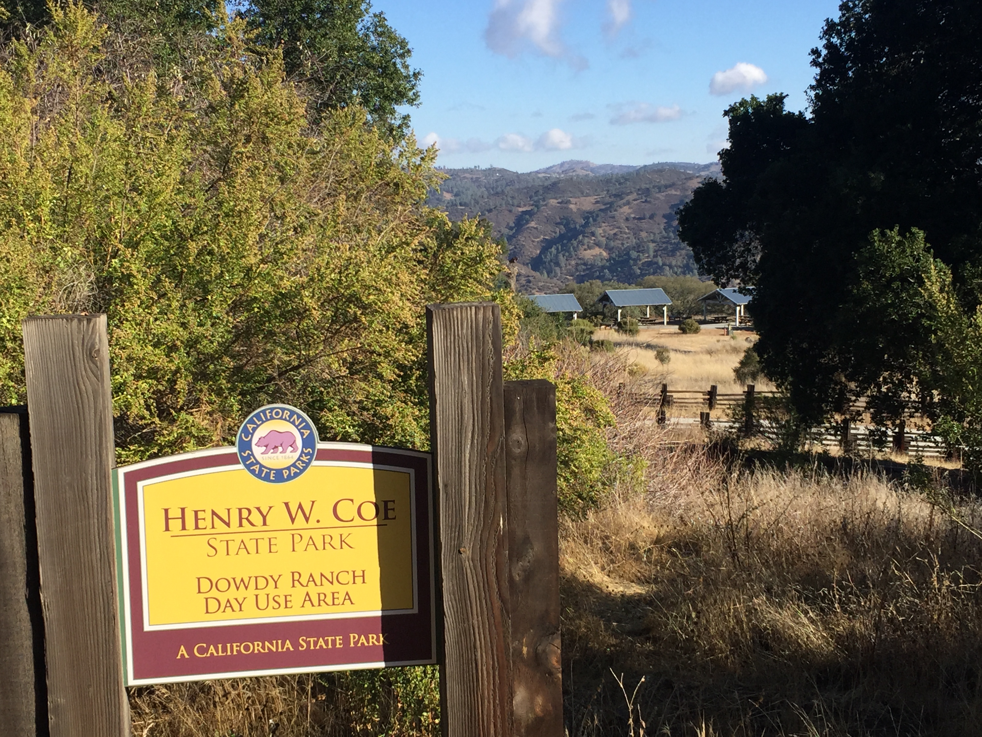
…and eventually an intersection to a “back entrance” to Pescadero Creek County Park (“Camp Pomponio Road” from the northeast on the map: https://parks.smcgov.org/sites/parks.smcgov.org/files/Map_from_PescaderoBrochureDec2014.pdf ):

IMG_4095

…and later on an intersection for the main entrance to Portola Redwoods State Park http://www.parks.ca.gov/pages/539/files/PortolaRedwoodsSP_Web2014.pdf

IMG_4099

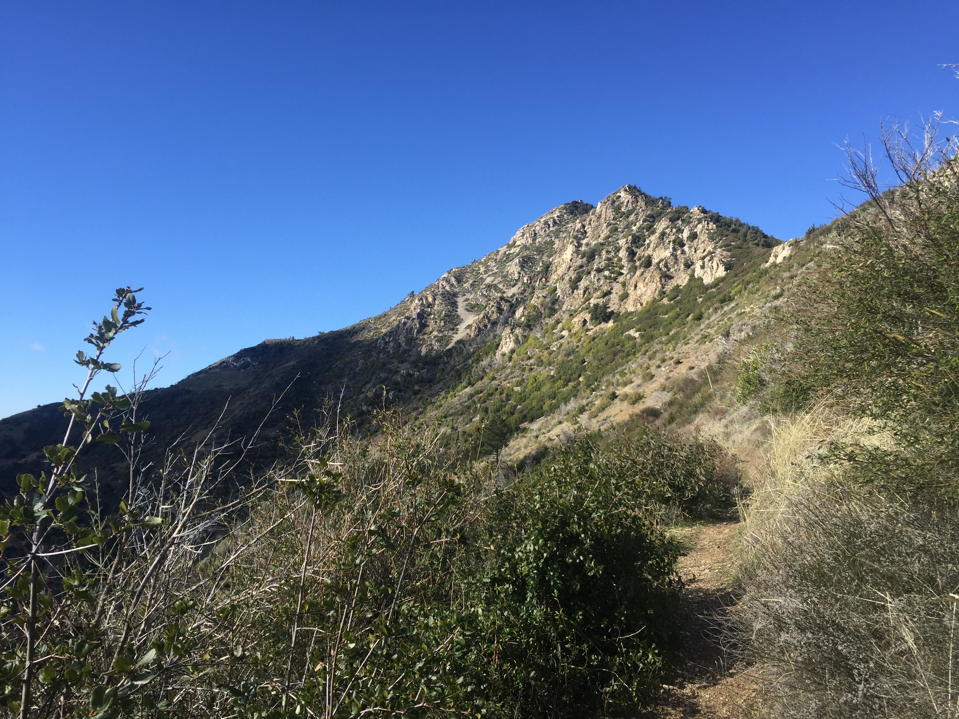
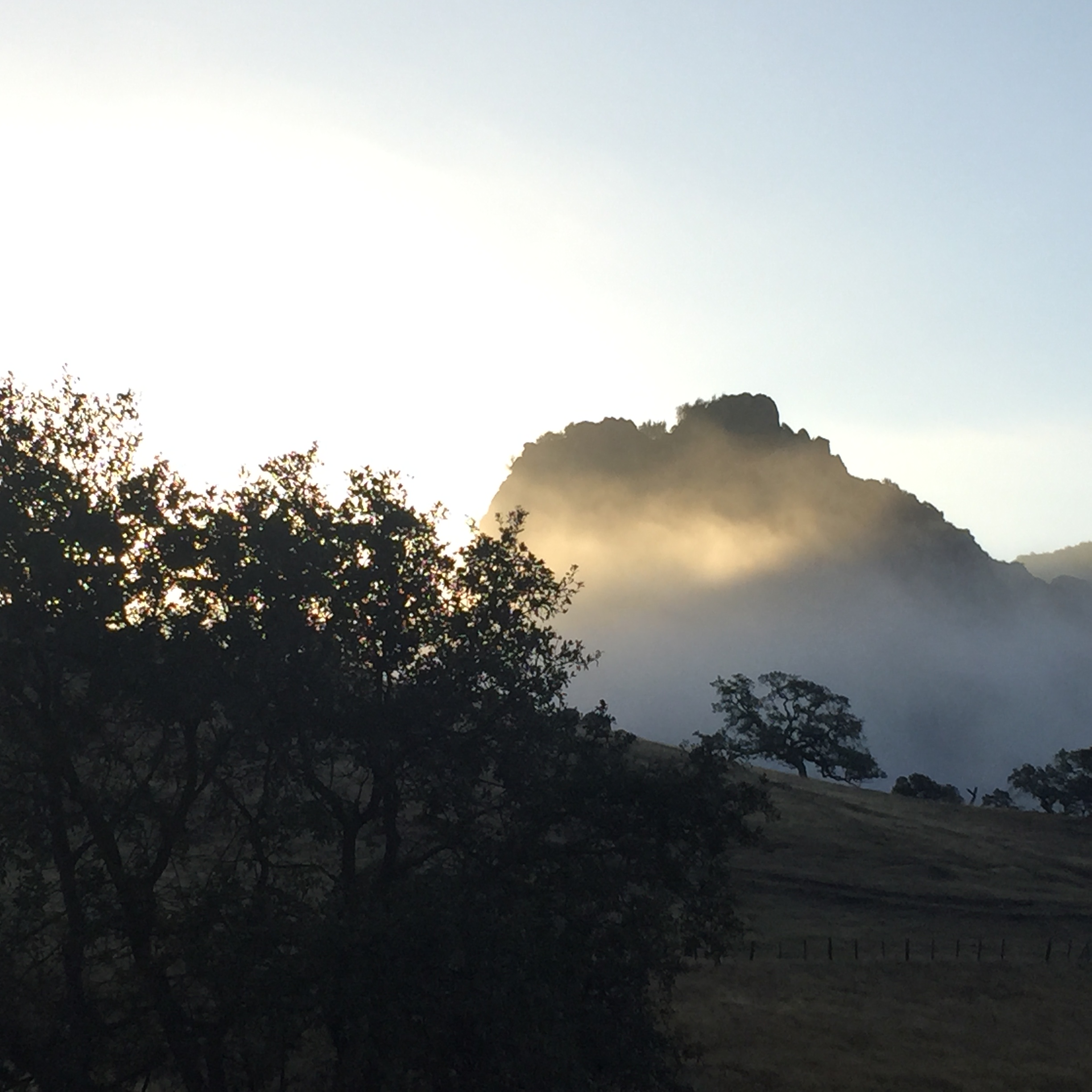
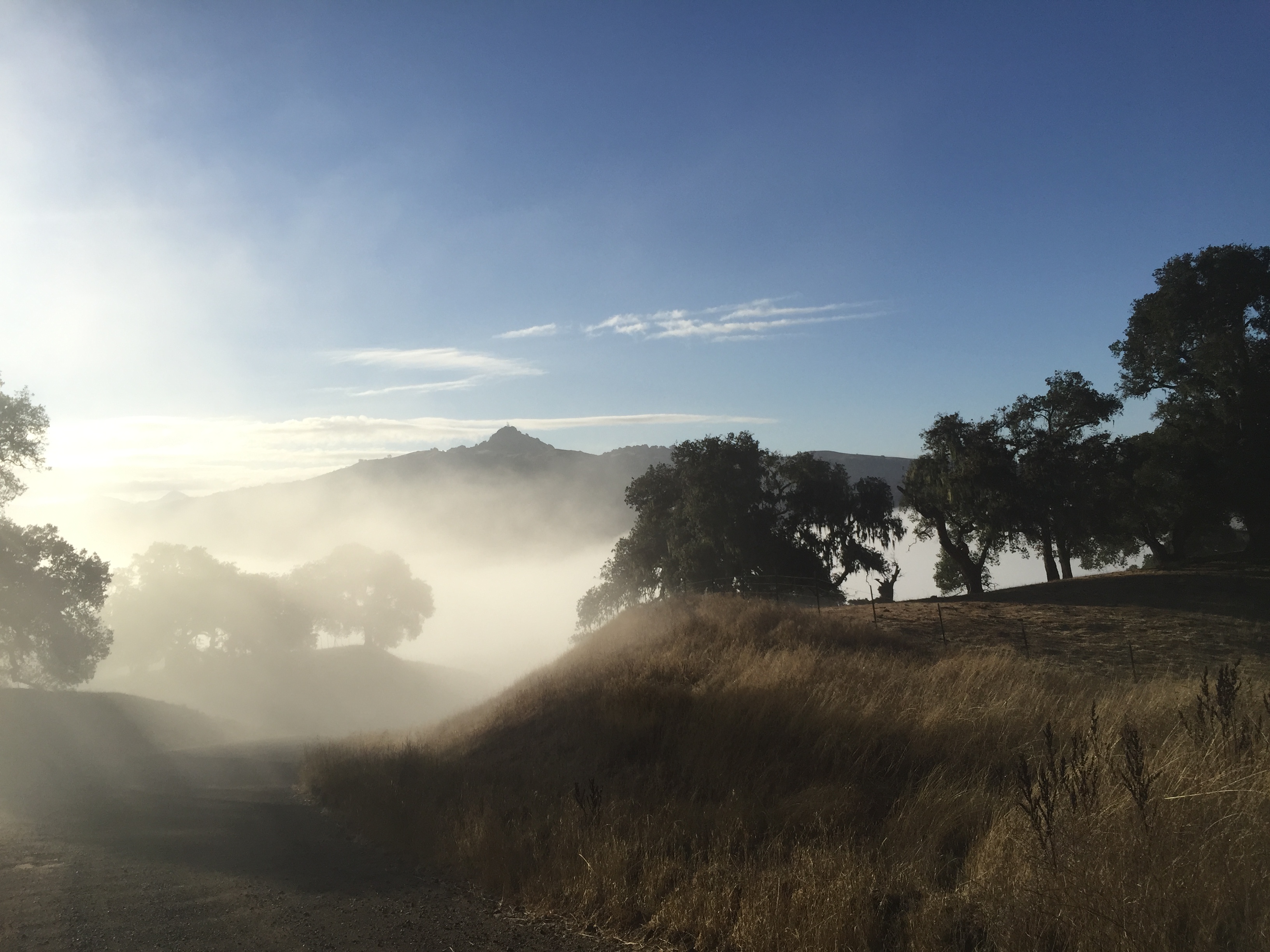
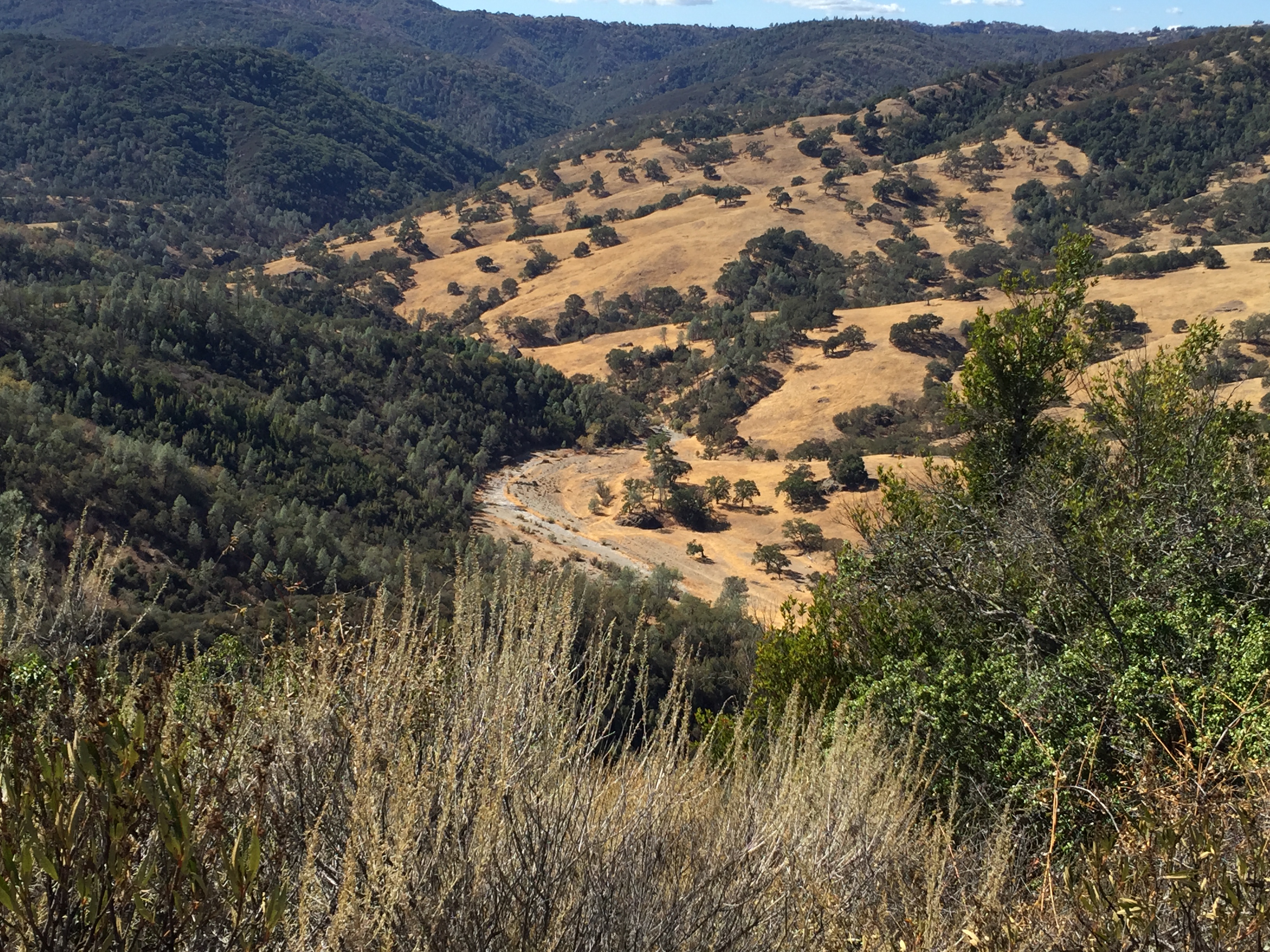
..and a view due east to Long Ridge OSP, just below Skyline. It’s the headwaters of Peters Creek, marked “Devils Canyon” on old USGS topo maps. (“Thank you” to my frequent hiking companion, Michael B, for identifying those cliffs!)

IMG_4098

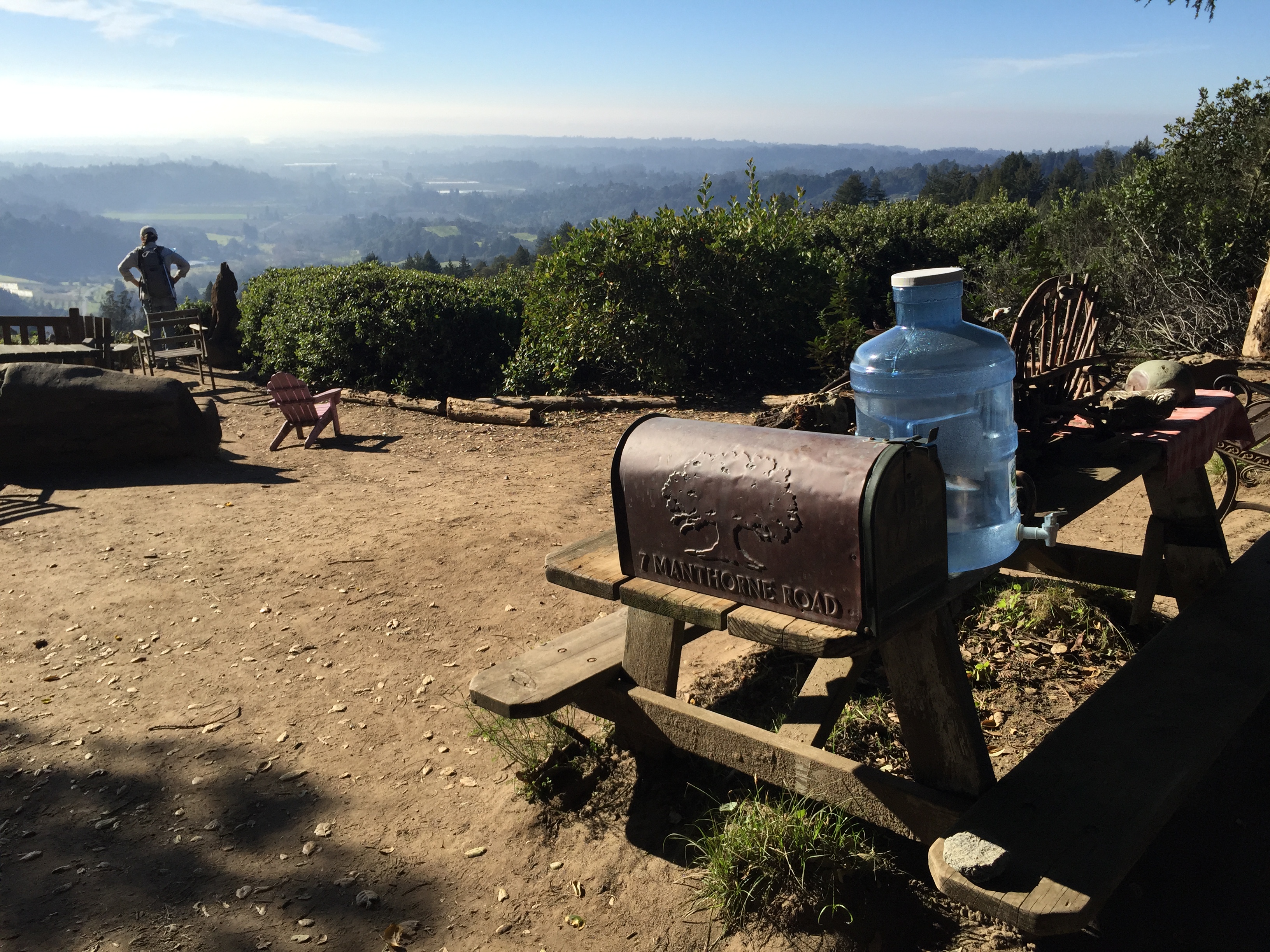
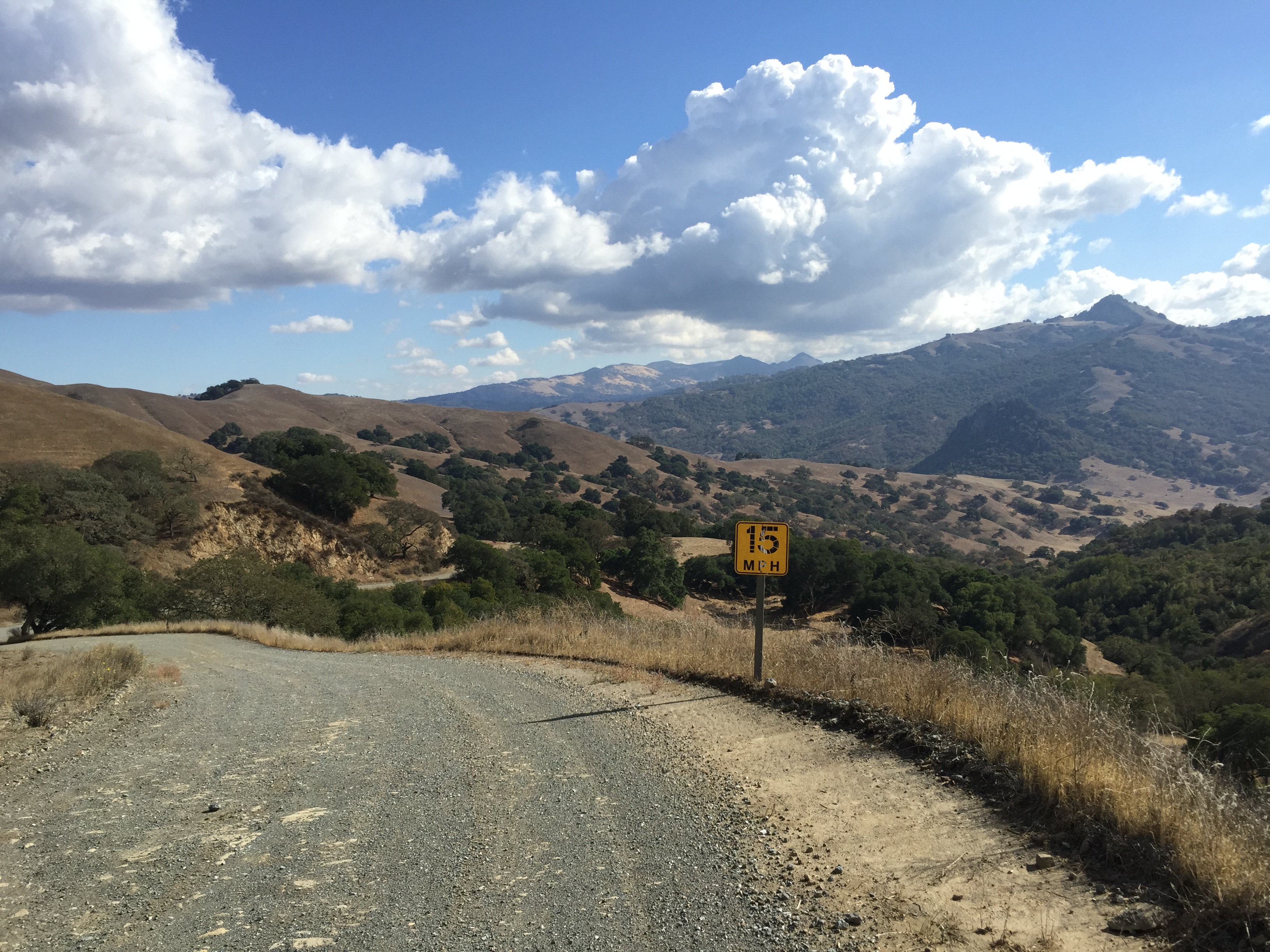
From here, you’ll continue your uphill “grind” for another ~900 vertical feet until you reach a new parking lot on Alpine Road. There are pit toilets here, but no water. Fear not, though, because you’re less than 200 vertical feet from the top!

IMG_4107

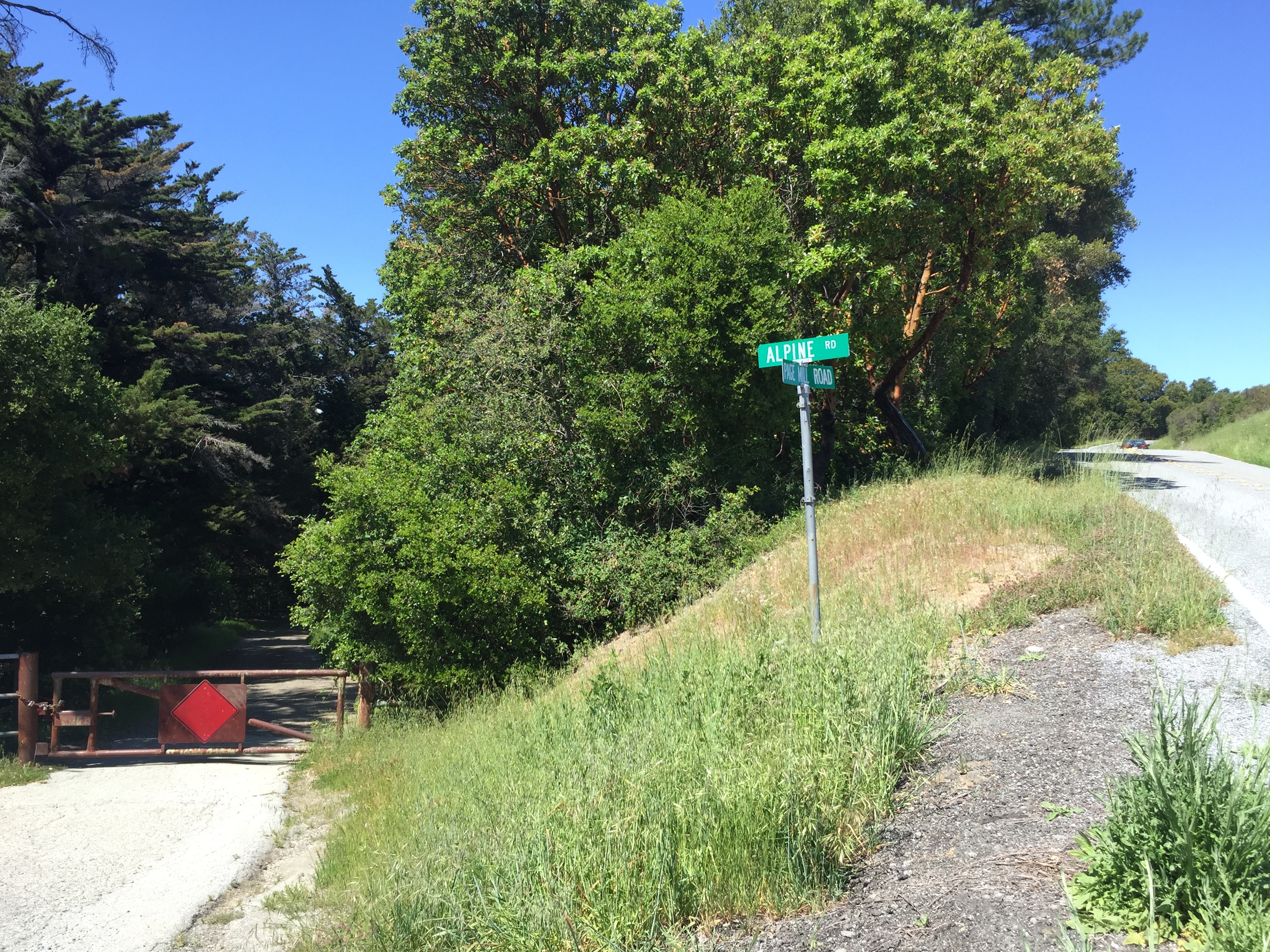
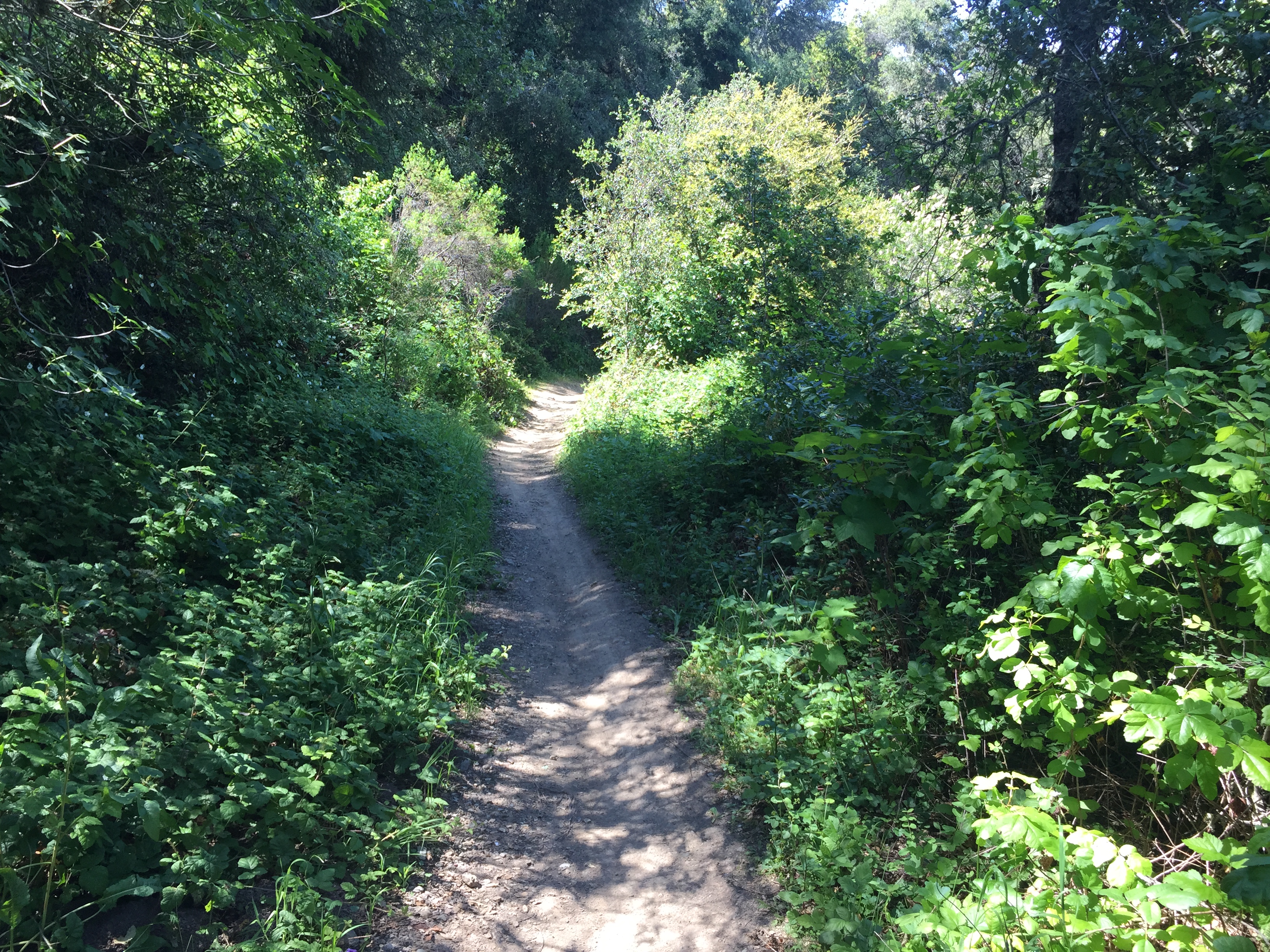
From here, you can cross over Skyline Blvd and take (somewhat busy) Page Mill Road down. The better way (IMHO), which takes me back closer to the car, is to turn left off of Page Mill onto the now-closed Alpine Road (red diamond below). It’s open to bicycles and hikers, though it’s not paved. On my skinny tire bike, there are a few short sections that I have to walk down, and I take the gravelly turns slowly.

IMG_4108

I find it much more enjoyable than busy Page Mill. Soon enough it re-joins pavement and takes you directly back to Robert’s market in Portola Valley with almost no pedaling!

IMG_4112

That’s it! have fun! (About 30 miles and 4000 feet of climbing. Here’s the Strava track: https://www.strava.com/activities/296272735 )

Posted in Uncategorized | Leave a comment

“The Land of Medicine Buddha” & Nisene Marks State Park (Santa Cruz / Soquel)

IMG_3702
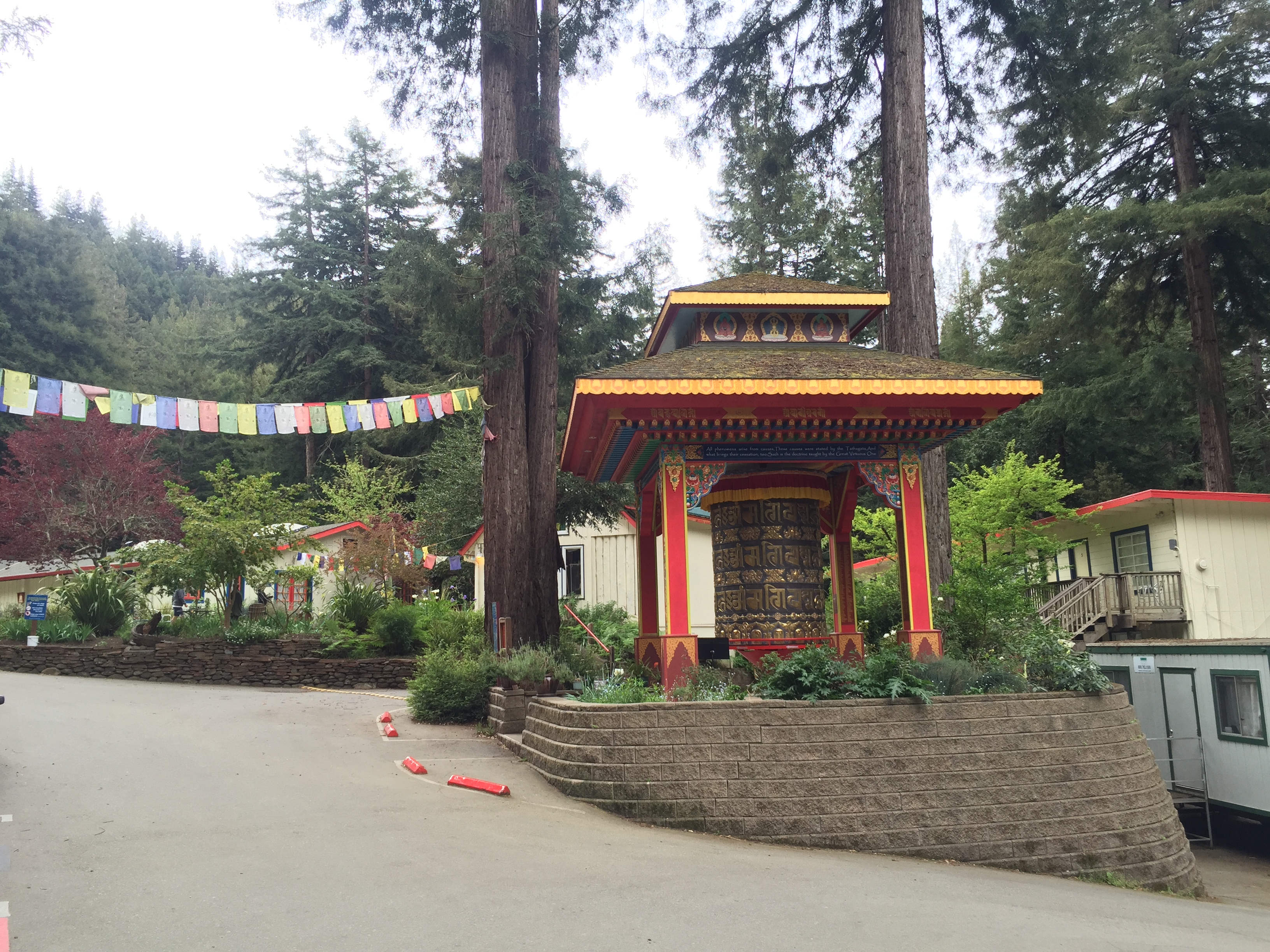
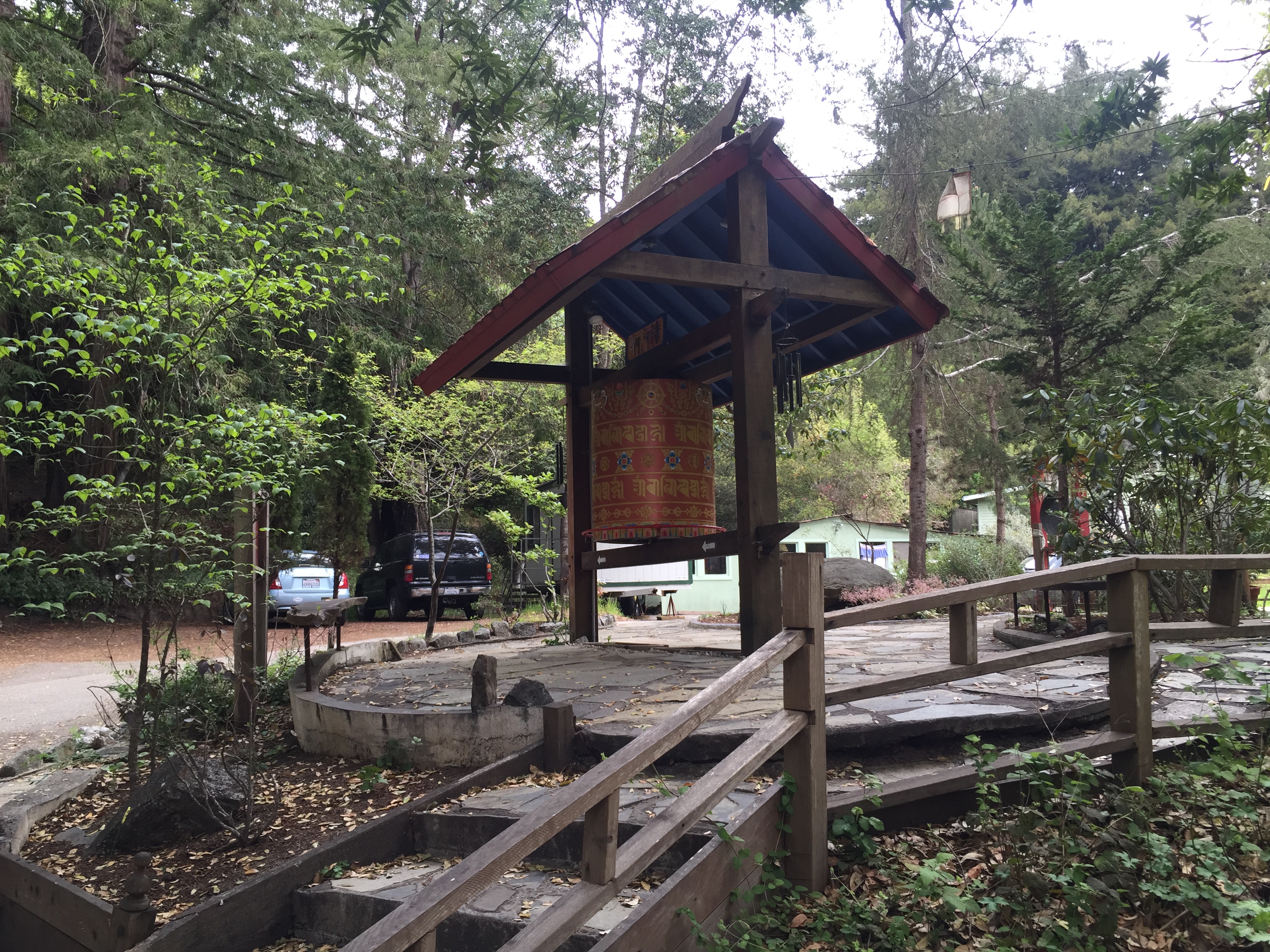
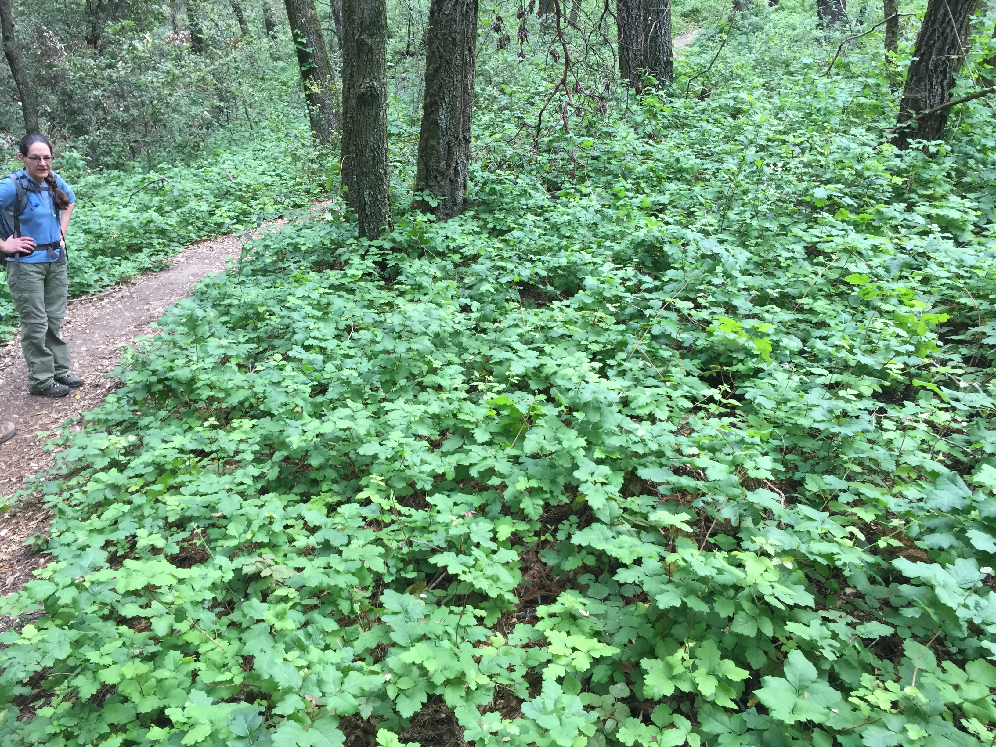
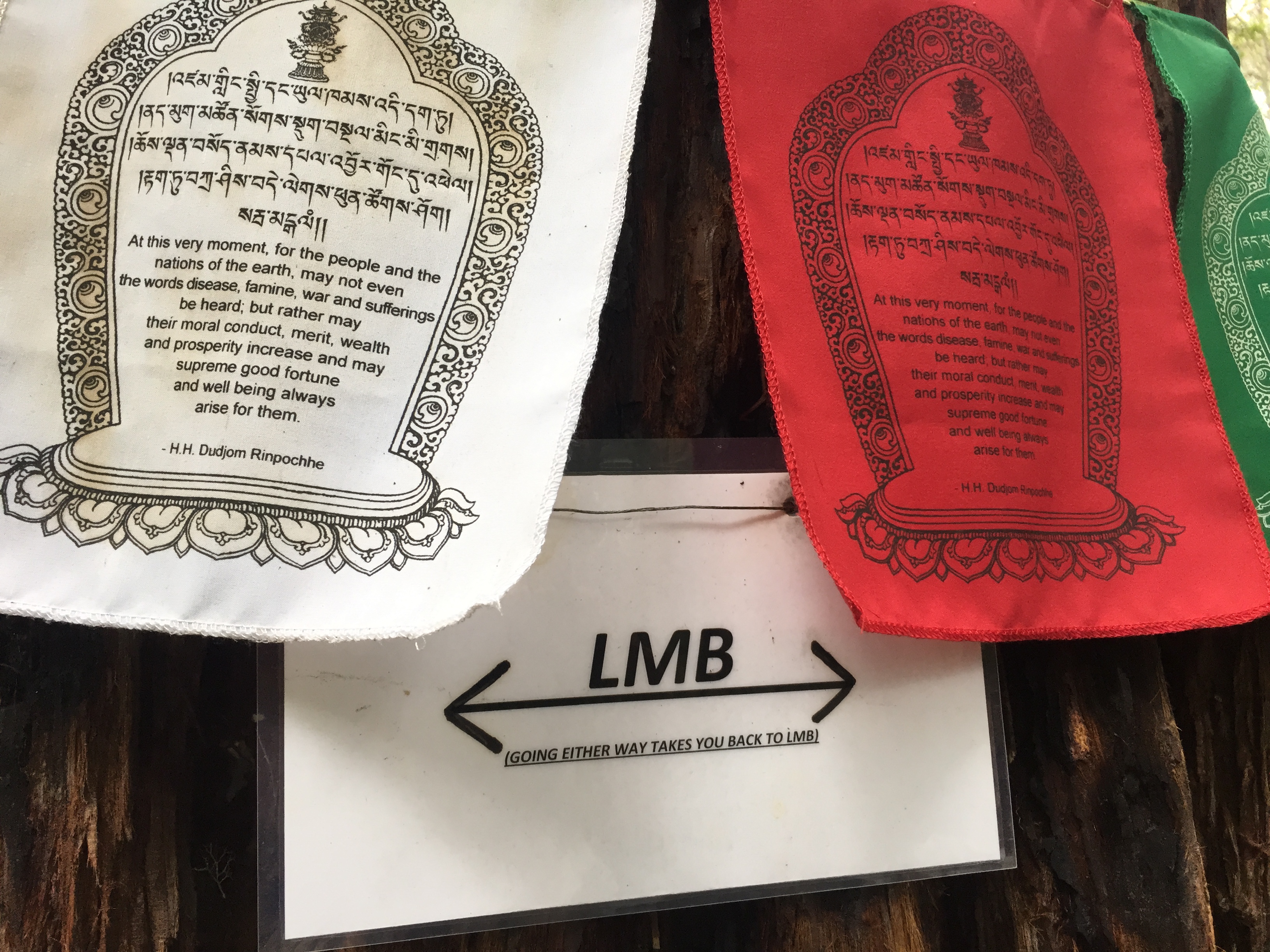
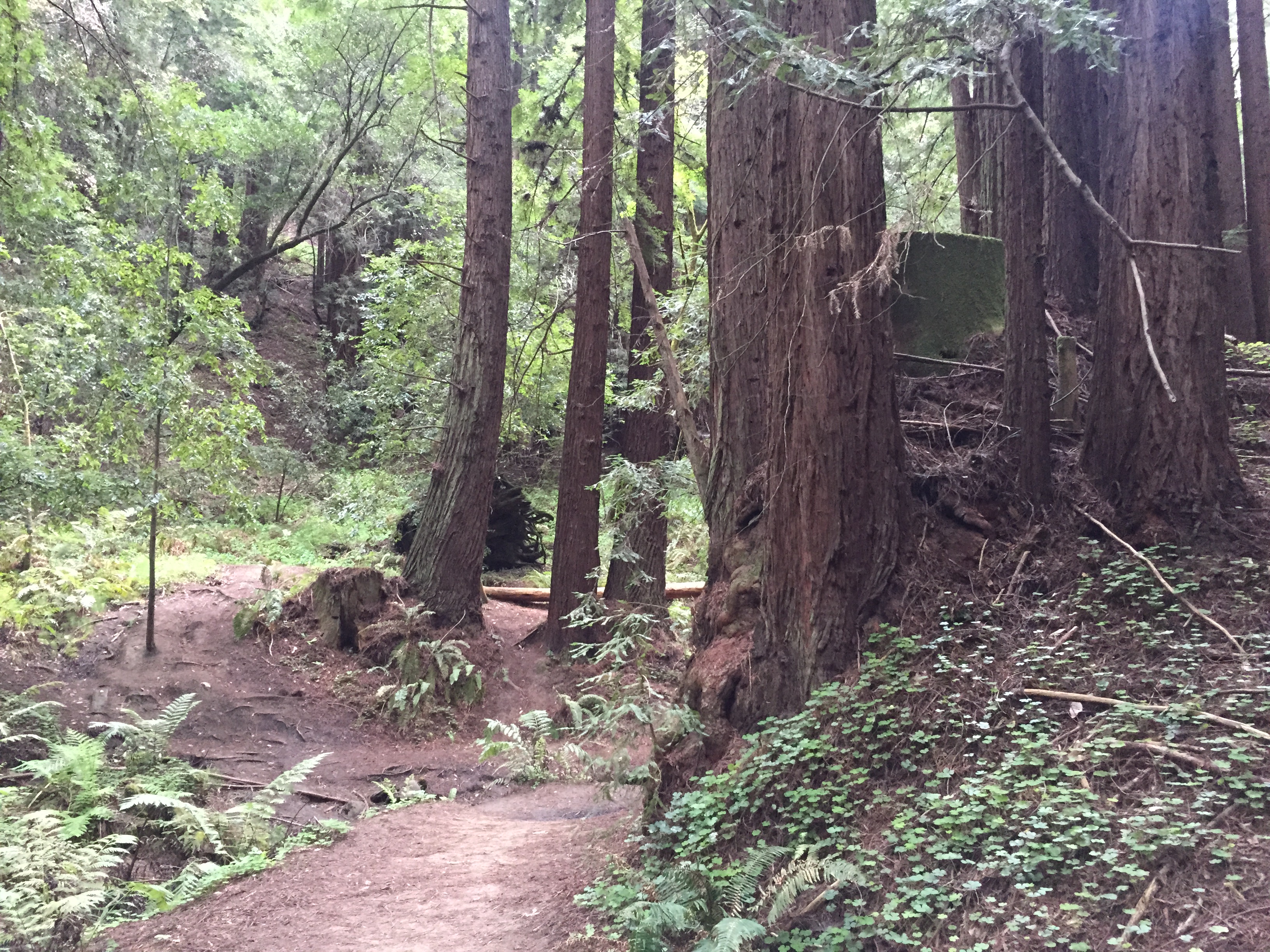
There’s an interesting place, uphill from Soquel, CA, bordering the Forest of Nisene Marks State Park. It’s the “Land of Medicine Buddha“! They welcome quiet and respectful visitors to wander their interesting property. You can also use it for a “secret backdoor” into Nisene Marks State Park.

They’re a Tibetan Buddhist retreat and educational center. Their website explains it better than I will attempt to do: http://dharma.landofmedicinebuddha.org/

Set your GPS for “5800 Prescott Rd, Soquel, CA” and you’ll eventually get to a small bridge and this small sign:

IMG_3681

I highly recommend parking just before the bridge, where there is room for about 6 cars. If that’s full, there’s scattered roadside parking a few hundred feet back. (There isn’t really any reason to take your car into the property. The signs and navigation are a bit tricky and I’m encouraging visitors to keep the impact low and arrive on foot!)

IMG_3692

IMG_3684

Wander around the main buildings a bit and “explore”.

IMG_3687

Turn the Prayer Wheel for peace and happiness, in the properly marked direction, of course!

IMG_3690

IMG_3693 IMG_3695

IMG_3698

There are a some signs, as well as a few roughly-drawn photocopied trail maps available. If you have an electronic toy that can download “real” maps, like Open Street Maps, it will be much more helpful…particularly if you want to wander further into the State Park.

IMG_3709

Poison Oak? Why yes! It does seem to be thriving during this severe drought. Too bad it isn’t a cash crop, like almonds or rice, that can be sold to other states and countries…

IMG_3714

A sign from a circular trail in the upper LMB property:

IMG_3722

…and one more shot: a typical trail in the Forest of Nisene Marks: old redwood stumps and newer second growth redwoods.IMG_3724

Getting there: Waze on my iPhone easily brought me the few miles uphill from Soquel, CA. Drive slowly, as the roads are a tight squeeze if someone is coming the other way.

Here is a map of the Forest of Nisene Marks (last page) http://www.parks.ca.gov/pages/666/files/TheForestNiseneMarksWebBroch2012.pdf The land of Medicine Buddha is located just above the “Legend” on that map. To see the minor trails, connecting between the Nisene’s West Ridge trail and the Land of Medicine Buddha, please see, starting at the lower-center, near where it says “Yurt Village”: http://www.openstreetmap.org/#map=15/37.0256/-121.9273

Posted in Uncategorized | Leave a comment

Silicon Valley’s “Computer History Museum”

A little different than my usual outdoor adventure blog post, but it’s fascinating to ***me*** and it’s ***my*** blog, so there! If you’re a techie who likes history, or an aging techie who isn’t sure if seeing familiar old hardware  preserved under glass is a good thing, then read on…

Right at the SE corner of Highway 101 and Shoreline Blvd, in the heart of Silicon Valley, is the “Computer History Museum” http://www.computerhistory.org/ (Ironically, it’s located in a former Sun Microsystems or Silicon Graphics building, which is a bit of “history” itself!)

IMG_3664

Once you pay your fee to enter, look to your left before you enter the main exhibit area. You’ll see the “PDP-1 Lab” and the “IBM 1401” Lab. Both were very “significant computing platforms” in their day, and may bring back memories of “real computers” if you’re old enough: round CRT screens, tape drives, noisy printers, punch card readers…

Here is the PDP-1 lab, circa 1959. Note the round CRT screen and the “electric typewriter” style printer:

IMG_3597

IMG_3598

Next door is the IBM 1401 room. This is what an Old School mainframe is to me, including the raised floor for wiring and cooling.

IMG_3602

IMG_3600

Moving on to the main exhibits, you’ll start with antique computing devices. (Not to be confused with “computers”, which was originally a term coined in the 1940’s for the women (predominantly) who operated the computing machinery of the day!)

IMG_3610

Some older “stuff”, including mid- to late-1970’s HP and TI calculators with newfangled LED displays, including the classic HP-41.

IMG_3611

Below is a piece of the ENIAC (Electronic Numeric Integrator and Calculator), designed to calculate ballistics tables for the Army (trajectories and targeting tables for various munitions and operating conditions)

IMG_3616

Ah yes! What “classic” computer doesn’t have a tape drive, with a Jetsons-era name on it like “Univac”?

IMG_3619

…and for those knowledgeable about WW2. here is a real “game changer” Norden Bomb Sight, suspended inside a simulated nose of an American WW2 bomber.

IMG_3624

The world’s first “disk drive”, the “Ramac 350”. It’s about the size of a washing machine and could store the equivalent of 62,000 punch cards (5 million characters!)

IMG_3627

…and below is 128K bits of LSI Bipolar memory from Fairchild, conveniently packaged in a metal can a little bigger than a loaf of bread. (My iPhone stores over a million times as much information…much of it useless!!)

IMG_3628

..and a Cray-1. Note the racks are in a circular pattern so that the longest wire is less than 3 feet. This was key to making the Cray the fastest in the world by reducing signalling delays in the wires. (I have nothing to say about the white trim on Seymour Cray’s suit)IMG_3631

Below is a tribute to the old Wagon Wheel Bar in Mountain View. where many historical conversations and business plans were drawn-up. It was torn-down in the early-90’s.IMG_3639

ROBOTS! Is that Rosie, from the Jetsons?

IMG_3643

Here’s “PONG!”, the first coin-operated video game. Designed and assembled in Silicon Valley in 1972 by Atari. It was paired with an off-the-shelf TV and placed in a cabinet. It was a huge hit at Andy Capp’s Tavern in Sunnyvale, where the first one was placed. (That building is now “Rooster T. Feathers”, on El Camino Real)

IMG_3649

Here’s a VERY valuable Apple 1, with Woz’s autograph in the center of the upper wood cabinet.IMG_3651

Now, here we get to my own first computer, the Commodore VIC-20 (top-left). Wow, was that cassette tape drive a frustrating device! They also have MITS Altair, Atari, Sinclair, Radio Shack, and many other early computers that were marketed directly to home users

IMG_3655

That’s it! Next time you’re in Mountain View take a look!  (Do you wonder how Facebook, Twitter and Microsoft will be represented in museums a few decades down the road? Hardware is entirely different…)

Posted in Uncategorized | 1 Comment

Byrne-Milliron Preserve & Corralitos Sausage Co.

I recently found out about the “Byrne-Milliron Preserve”, just outside Corralitos. How could I not have known about this great place? It’s 402 acres under the ownership and care of the Land Trust of Santa Cruz http://www.landtrustsantacruz.org/category/byrne-milliron-forest/ (I found out about it via some local Geocachers http://www.geocaching.com/ when the property received it’s first caches.)

It’s a very cool place, and very dog-friendly.  Located less than 4 miles from Corralitos, when you reach the parking lot you’ll start to notice the whimsical nature of this forest.

IMG_2667Oh yeah, getting there! Go to the center of Corralitos and drive 2.7 miles on Browns Valley Road, heading east for a few blocks, then the road turns to the left (north). Look for a small sign on the left for #809 and “Roses of Yesterday & Today” and follow the paved driveway for another mile. There are no huge signs that say “Turn here for an awesome unknown preserve!”

The turnoff:IMG_2708
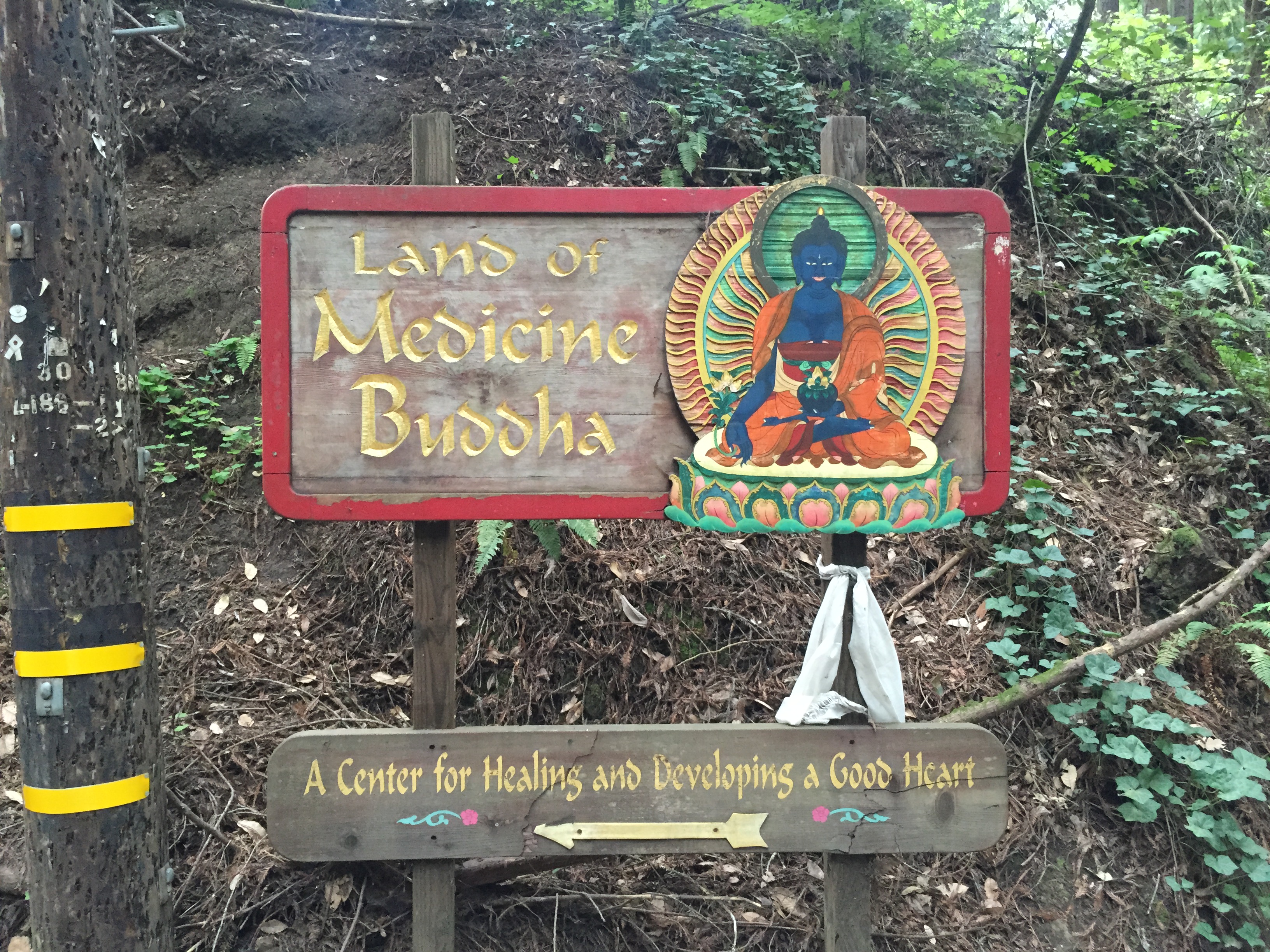
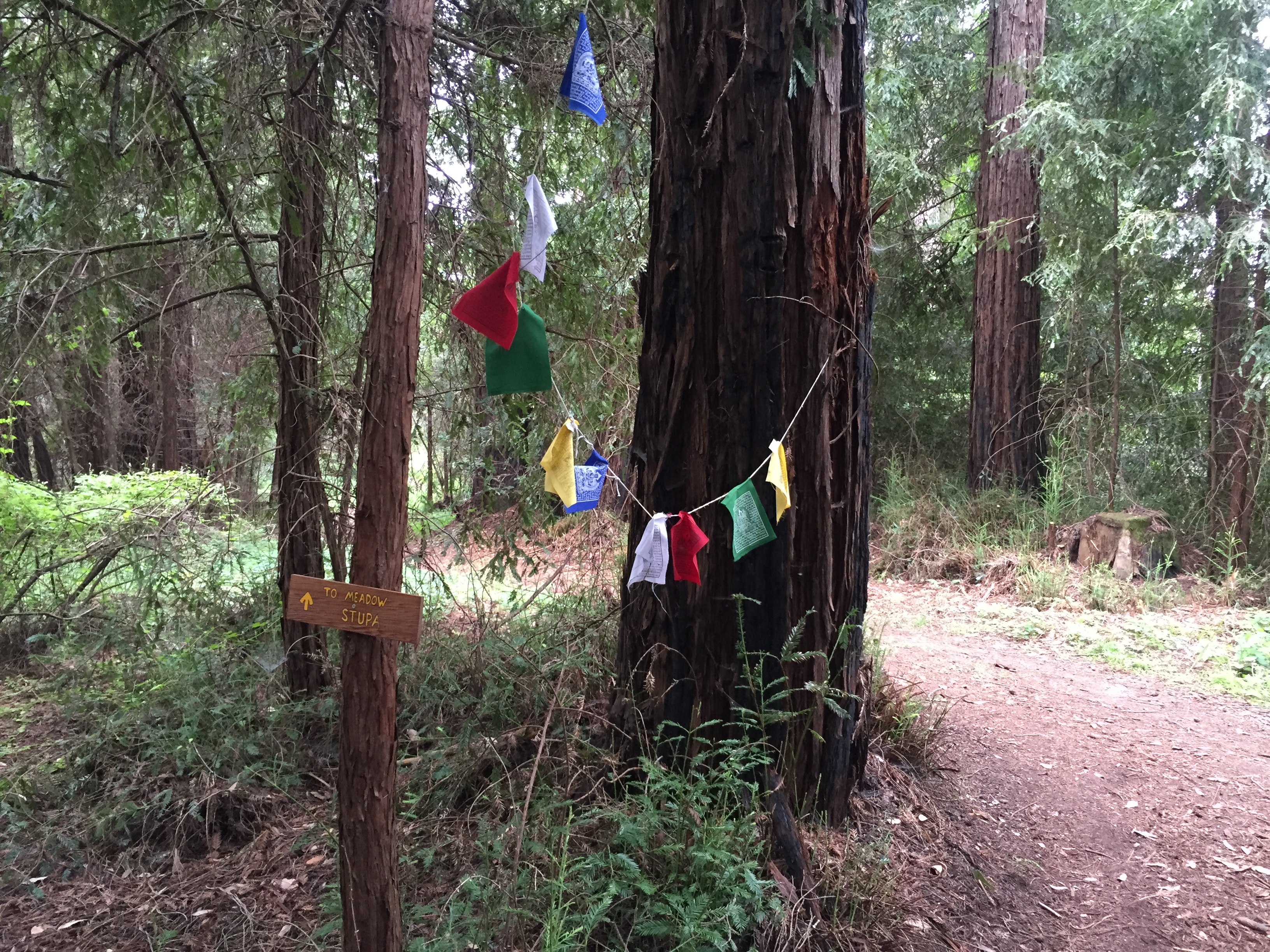
Grab a trail map near the parking lot, or print one at home http://www.landtrustsantacruz.org/lands/ByrneTrailMap_CP2.pdf. I used “Open Street Maps” on my iPhone and it worked great.

At each of several high vista points you’ll see collections of trinkets, mementos, and logbooks to write a few thoughts. This is not a “sanitized” park like you’re used to!

IMG_2673

This is “AJ’s Point of View” on the official map http://www.landtrustsantacruz.org/lands/ByrneTrailMap_CP2.pdf

Bring a book, bring a camera, bring lunch…(and bring water! there’s only a Porta-potty in the parking lot)

IMG_2674The mailbox contains binoculars, and some logbooks to read and contribute to. The water is probably best left for the dogs, out of caution. (Did I mention there are water bowls for dogs “everywhere”?)

IMG_2676Until 2 months ago the caretaker was Jeff Helmer, who recently passed-away. He sounds like a great guy (not just because he had three times as many Studebakers as I do!) http://www.landtrustsantacruz.org/in-memory-of-jeff-helmer/    http://www.landtrustsantacruz.org/jeff-helmer/

We found Jeff’s business card in one of the trailside treasure troves.

IMG_2681A typical redwood forest scene in the lower areas of the preserve

IMG_2686And a turnoff with yet another dog bowl.

IMG_2687A few steep parts, with a rope to steady yourself.

IMG_2689…and a second major overlook area. “Eagle in Tree Vista” on the map

IMG_2698

…and the Porcupine Hollow turnoff to the “Cathedral Rest Spot”

IMG_2701

IMG_2704

Not quite as wide and groomed as most parks, but you’re not likely to get lost!

IMG_2706

It was a GREAT FIND! It’s only 402 acres, but it feels much bigger. There’s some steep climbs and quite a few trails to be explored. There were 10 cars in the parking lot when we returned at 1:00PM. I think we saw most of those groups at one point. More than half of them had happy off-leash dogs. (Bring your dog if you have one!) Take your time and enjoy the Byrne-Milliron Forest!

…and consider a visit to to Corralitos Market and Sausage Company on the way back.

A cute little country market, with a famous meat counter at the back:

IMG_2709

House-made sausages, sandwiches, and treats for your canine companion.

IMG_2711

IMG_2712

IMG_2714

I ordered a hot sausage sandwich, with a bit of sauerkraut and horseradish, plus a giant pickle. Walk across the street to the “town square” and have a little picnic.

IMG_2715

(A WW1 memorial next to the picnic tables. Donald Leon Rose, died in France in 1918)

IMG_2659

IMG_2658

…and a map of the town…

IMG_2663

That’s it! Enjoy the drive and exploring Byrne-Milliron and Corralitos

Posted in Uncategorized | Leave a comment

Plane Crash Site above Saratoga, CA (F-2H Banshee, Lt James Wyley, 1959)

Airplane crashes were much more common just a few decades ago than they are today, prior to more sophisticated navigation technologies. The hills in the San Francisco area are steep and often shrouded in fog. This has resulted in a handful of crash sites, including some that are (relatively) less well-known.

In the immediate Silicon Valley area there’s an F-9 Panther in the East Bay hills and a DC-6 passenger plane. Both are easily accessible from the trail, both with just a few pieces not having been carried away. There are also bits of an F-4 Phantom (https://alpharoaming.com/2014/02/11/plane-crash-site/), as well as an elusive F-2 Banshee, both of which are not widely known (and will stay that way). I’ve also recently found that there’s an F4U Corsair wreck on private property on Mt Thayer http://www.donrjordan.com/thayer.htmll )

About 5 years ago I met a “wreckchaser” who was kind enough to take me to the location of the F-2H Banshee in the hills above Saratoga, CA. The “code of honor” of wreckchasers, as well as visitors to pristine Native American sites, is to reveal the location only to those who will respect the site and to not make it any easier to find than it already is.

Enough of the background story!

On this particular day I decided to pay a second visit to the site and take a few more pictures than the last time.

Somewhere off of Skyline Boulevard I parked the car

IMG_2607

…visited an un-marked location of Native American “grinding rocks”

IMG_2608

…and began the very steep bushwhacking to the site. (I thought this was a circa-1960 Renault Dauphine, but I don’t see the air intakes in front of the rear wheels. It’s small and European and all the markings are gone…It turns out it’s an “NSU Prinz”, which was a German company that merged into Audi. Credit to several members of http://www.arcaneauto.org/)

IMG_2611

Eventually, after some seriously steep route-finding and “hanging onto small trees so you don’t slide down the hill”, I saw the bits and pieces

IMG_2625

..and an engine

IMG_2615

…and some late 1950’s aviation electronics

IMG_2617

…and a few other objects that were placed on a rock by others

IMG_2618

IMG_2621

“Assembly No” and “Inspection” still readable after 56 years

IMG_2623

A red tow hook from the front landing gear, perhaps?

IMG_2624

Control surfaces from a wing section

IMG_2627

IMG_2641

…and finally, the tail, which is located uphill a bit. It’s the largest remaining piece

IMG_2639

If you look on the left side of the tail (underneath), you’ll see a small brass plaque in the middle of the red painted area:

IMG_2630

This small memorial was placed here by the Wreckchaser that first brought me to this place.

IMG_2636

Navy Lt. James Wyley died here on February 22, 1959. Please respect the site. Leave only footprints, take only photos.


Posted in Uncategorized | 8 Comments

Cone Peak summit (Santa Lucia Mountains, Ventana, Big Sur)

IMG_2483

Head south from Big Sur or head north from the Hearst Castle on California’s remote coast, between Los Angeles and San Francisco, and you’ll see these amazing views. Up close you’ll also see distracted tourists driving rented motorhomes at 30mph. Take your time and enjoy!

Immediately south of the scenic Kirk Creek Campground  begins the Nacimiento-Fergusson Road.

This road is the only road over the steep Santa Lucia Range http://en.wikipedia.org/wiki/Santa_Lucia_Range The road also provides great access to the mountains, along with some incredible views (without guard rails! Pull over for pictures and post to FaceBook later when you’re back in cell range!)

IMG_2484

At about 3000 feet above sea level, you’ll come to a plateau and crossroads. (20 miles further east is the Army’s Fort Hunter Liggett. It’s open to the public if you have ID, insurance and registration for your vehicle. There, you can visit the very well preserved Mission San Antonio de Padua (1771) http://missionsanantonio.net/. There’s also the very cool “Hacienda Hotel”, open to the public and formerly owned by William Randolph Hearst http://fhlfmwr.com/hacienda.html

IMG_2490

IMG_2492

This crossroads is also the trailhead for my “bike-and-hike” up Cone Peak. It’s the second highest peak in the Ventana / Big Sur area and (according to Wikipedia) the tallest “coastal mountain” in the lower 48 states: over 5100 feet and only 3 miles from the ocean.

Below is the start of my journey. 7 miles of Fire Road, then 2 miles of steep hiking trail. I’ve heard the road is open in the summer. (It’s reasonable for a normal 2WD car  to give it a try, though there’s no passing or turnaround space in many sections.)

IMG_2486

A chilly day, with ice on the fire road in the shady sections. (The photo below is not actually ice. This section has white marble or limestone on the road and hillside. There was real ice…really…but I didn’t take any pictures of that)


IMG_2509

The patch of white stone is visible below, in the distance, on the right side of the photo:

IMG_2499

The views keep getting better and better!

IMG_2520

IMG_2539

After 7 miles of gravel road, at about 3800 feet elevation, it’s time to hide the bicycle in the bushes and enter the Wilderness Area on foot.

IMG_2513

Yup! That’s the 5100 foot summit, with a teeny-tiny fire lookout building on top

IMG_2523

Alas, 2 miles and ~1300 vertical feet (on foot) later, we reach the top and take a picture of the coast to the south, just like the one in Wikipedia! http://en.wikipedia.org/wiki/Santa_Lucia_Range

IMG_2537

…and the summit lookout, which was very securely covered with heavy steel panels and strong padlocks. It’s not an “emergency shelter” if you’re up here in a blizzard (without bolt cutters).

IMG_2528

And a view due west, with the surf being only 3 horizontal miles away.

IMG_2532

Did I mention it was 30F degrees at the top, with howling winds? California was experiencing unusually cold and windy weather. I was a bit underdressed for standing still, though the uphill climb made me quite toasty. Time to head down!

IMG_2547

I was racing sunset a bit, though I had a good flashlight in my pack, if necessary, and the Fire Road is easy to follow. The sun looks low on the eastern side of the mountains

IMG_2555

Back to the car, and a scenic drive down the hill. Remember “no guard rails!”.

IMG_2557


Below you can see Highway 1 clinging to the coast:

IMG_2567

My Strava track (plus 3 additional miles in the car until I remembered to turn it off!) http://www.strava.com/activities/234929657

Footnote: I was inspired to try this trip by reading Jill Homer’s recent blog post http://www.jilloutside.com/2014/11/cone-peak-getaway.html I had been unaware that I could go most of the way up a big coastal peak by bicycle. I’m also impressed with someone who came up from sea level by bicycle! Long sections of 10% and 11% grades, on a mountain bike, with camping gear: http://www.strava.com/activities/222946009 (No thank you, maybe another time!) I’ve read all of Jill’s books and recommend them if you’re interested in endurance racing in incredibly beautiful and challenging environments.


Posted in Uncategorized | 7 Comments

Henry Coe State Park: Dowdy Ranch, Pacheco Crossing, Bell Station

On the first day after Daylight Savings Time ended, I was on the road at 6:00AM towards Henry Coe State Park.

IMG_2019

“Pavement Ends” means “Adventure Ahead”!

IMG_2023

The sun, across Highway 152, peeking through the fog, just after sunrise

The lesser-known entrance from Bell Station, followed by 7 miles of gravel road, to the Dowdy Ranch Visitor’s Center, is open on summer weekends to vehicles. Off-season and weekdays, it’s open 24/7 for hikers and cyclists, and a few ranchers that own property up here.

IMG_2027

The sun is low as I begin my journey up the gated road

IMG_2033

48 degrees and foggy, but it clears and warms-up!

IMG_2040

7 miles, plus 1000+ feet of climbing brings me to the Dowdy Ranch Visitor’s Center. Haven’t seen anyone yet except for one rancher who waved as he passed me in his truck

IMG_2047

The seldom-used Visitor’s Center, built in 2006

IMG_2046

..and a damaged sign, leaning against the fence. Notice the big old Widow Maker, hiding behind!

IMG_2048

…and the soon-to-be-famous “Purple Panther”

After looking around Dowdy Ranch a bit, I headed downhill, to the north, to Pacheco Creek Crossing. There was a moderate rainfall about 3 days prior. There were some signs that water flowed through the big undercrossing pipe, but definitely not enough to create any real flow…

IMG_2058

IMG_2060

Probably some dribbling during the rain, but the pool below was still quite low and way below “flowing”

IMG_2064

The creekbed to the west, towards the falls, was completely dry, The leaves are turning!

IMG_2068

Almost empty and ~8 feet below “full and flowing”

Lower now than back in January!

Henry Coe State Park: Pacheco Crossing, Dowdy Ranch & Bell Station

In April the “Hole in the Rock” waterfall was full and barely flowing (when it should have been gushing)  https://alpharoaming.com/2014/04/20/dowdy-dormida/

IMG_2074

Above the falls: a few scattered small pools on rock surfaces

After inspecting the Pacheco Creek Crossing area, I slogged back up to Dowdy Ranch. I again passed Tiedown Peak, which was taunting me from my previous “never going back there” experience.  https://alpharoaming.com/2012/09/26/rattlesnake-adrenaline-rush-tie-down-peak-at-henry-coe/

IMG_2082

As I passed Dowdy Ranch, I noticed the gate was now open, so I went to investigate. I happened to be there at the right time to have a short conversation with Ranger Cameron Bowers and 2 other cyclists. After that, it was time to head back to Bell Station.

IMG_2085

15 mph on a downhill in the middle of nowhere?!? “Officer, my bicycle can’t go that slow!”

A great “zoom-zoom” downhill 7 miles back to the car (with 2 small climbs). Try it sometime! http://www.coepark.net

The 19 mile and 3200 vertical feet track: http://www.strava.com/activities/214835381


Posted in Uncategorized | Leave a comment

Drought in Henry Coe State Park (The Narrows, Eagle Pines, China Hole)

I went on a fun and lengthy (~18 miles and ~3500 vertical feet) hike in Henry Coe State Park (http://www.CoePark.net) through some familiar terrain. http://www.strava.com/activities/208957413 The plan was to meet three other friends at park HQ at 8:30AM. Given that it’s October, I left the house shortly after sunrise and enjoyed the long shadows over Morgan Hill as I drove up to the park. (Note the low lake level, and the prominent El Toro peak at center-rear) IMG_1878

All four of us got there a bit ahead of schedule. We paid our fees, and chatted with the “INCH” hiking group, with about 20 participants heading in the same general direction. Beautiful sunny day!

IMG_1889

High(ly flammable) grass! Let’s hope for some early and extensive rains this fall!

IMG_1890

In the Manzanita Point area we stopped at Bass Pond. There are still fish there, but the water was VERY low

IMG_1891

We zig-zagged down to China Hole, then started up “The Narrows”, which is a difficult hike when there’s water, but we saw very little of that…

IMG_1896

Notice in the lower-right of this picture you’ll again see the 6 deceased turtles and the (cow or pig?) vertebrae. This spot still had some minor dampness and struggling water plants in the lowest spot.

IMG_1897

A few spots along The Narrows did have enough water to support a few small fish.

IMG_1928

In the Los Cruzeros area we saw zero water. The few pools saw earlier were to the south near China Hole.

IMG_1900

This small deer appeared to be recently deceased. There was still velvet on the antlers and a mild smell.

IMG_1899

An example of an “acorn storage tree” that I’ve seen many times in Coe. This one had an interesting spiral.

IMG_1902

The normally reliable “Willow Ridge Spring” was bone-dry. Last year (also a drought year, but not nearly as severe) I passed through here 2 weeks earlier, on October 5th, and there was a bit of mud at the bottom of the trough (https://alpharoaming.com/2013/10/05/bikepacking-henry-coe-state-park-day-3-mississippi-lake-to-hq-via-poverty-flat/)
IMG_1903

Ah yes, a really annoying hill on Willow Ridge Road, not far from the Spring.

IMG_1904

We finally got to the area we had targeted. It’s an “obscure trail”, called “Eagle Pines Trail”. It passes by Eagle Pines Peak. (There are no trail markers and no visible trail for the first part. Get the coords and/or a downloaded map for your electronic toy.)

IMG_1906

It’s a steep and high ridge, about 1000 feet above the creek below. We exited the north end of the ridge…then on down to the upper Narrows area, for a loop to where we came from.

IMG_1909

Once down in the Narrows, the going was rocky, but relatively flat, once again.
IMG_1920

We stopped in at the Arnold Horse Camp, where I bicycle-camped a year ago this month. https://alpharoaming.com/2013/10/05/bikepacking-henry-coe-state-park-day-1/ Last year the spring trough was full but not flowing. This year it was bone dry.

Below is the Arnold Horse Camp trough, early October 2013, in a “dry” year. It’s empty now! Can we have some rain, PLEASE?!?

IMG_6822

Posted in Uncategorized | Leave a comment

Mysteriously Misplaced Headstones in the Cupertino Hills

Back in January 2013 I was doing a little off-trail excursion in the hills above Cupertino, CA. I was following an old, overgrown, unmarked road just to see where it went and as a possible shortcut to another marked trail. To my surprise I suddenly came across a clearing with a bunch of headstones!

IMG_3945

I poked around a bit, after the shock started to wear off, and decided they were moved there…I had not stumbled upon an old cemetery!

Some of them appeared to be errors or “rejects”, like this stack of pink-ish ones.

IMG_3971

Others, on the other hand, clearly looked like they were quite old and of historical value.

IMG_3989

Old veterans

IMG_3957

IMG_3978

Loved ones and lost family members

IMG_3968

IMG_3979

…and even some that may tell the story of pioneer families of our area.

IMG_3991

Why were they here? Well, I took these photos and promptly did a little e-mail “Q & A” with the Midpeninsula Open Space District (http://www.openspace.org/), on whose land I found these. They knew the stones were there, but believed them all to be “scrap” that the previous landowner had planned to use as landscaping or building materials.

Based on the age of some of these stones, I had to disagree! Mid-Pen was great, in that they were very open to a historical society or researcher working with them to identify and relocate the important ones. I had heard of “The California Pioneers of Santa Clara County” http://californiapioneers.com/ and their prior efforts to return gravestones to their proper location.

I quickly received an enthusiastic response from The Pioneers, who picked-up communication with Mid-Pen where I left off. They organized a cooperative venture with Mid-Pen to assess and photograph the headstones. I paid my annual dues to join the Pioneers and joined the enthusiastic assessment party.

Following the joint visit, The Pioneers rolled-up their sleeves and dug into some great research work. They were able to identify that several of the oldest ones had been removed from the historical Oak Hill Cemetery in San Jose http://en.wikipedia.org/wiki/Oak_Hill_Memorial_Park

UPDATE: MidPen decided it was time to move the headstones, just over 2 years after my “discovery”. Oak Hill Cemetery, where some of the most historical ones were traced to, expressed a lack of interest unless they were contacted by relatives (of people that passed away 100+ years ago!) The Pioneers, through their hard work and contacts in the community, found a place Santa Cruz County that could offer long term storage.
In July 2015 MidPen and the Pioneers organized a work party to move the headstones. Some were clearly scrap, and the rest were put into storage. Additionally, one 19th century stone was returned to the descendants in San Jose, and one that was placed by E Clampus Vitus in 1961 was returned to them. Excellent work!

Initial cataloging: https://www.youtube.com/watch?v=hID6_Cmgx28

Moving them out!: https://www.youtube.com/watch?v=V595-XMf8b0

UPDATE: April 2016. Great news! The Pioneers’ effort, and my “discovery” made several people very happy and made it to the front page of the newspaper!

https://alpharoaming.com/2016/04/04/return-of-the-mysterious-headstones/

http://www.mercurynews.com/scott-herhold/ci_29724209/herhold


Posted in Uncategorized | 2 Comments

Cycling Woodside to Half Moon Bay (Kings Mountain Rd, Tunitas Creek Rd)

photo

When the going gets hot, the hot go to the coast!

Love those NorCal “microclimates”!

I was looking for a challenging bike ride, as well as something a little cooler than what Silicon Valley, or (ugh!) Henry Coe State Park (http://coepark.net/) were forecast to be. I decided to repeat my previous ride from Woodside to Half Moon Bay, which was forecast to be ~25 degrees cooler. The San Benito Ale House (http://www.sanbenitohouse.com/) serves-up a great Bacon-Avocado-Cheddar Burger, which would be my destination and turnaround point.

I parked in Woodside, on the street near Robert’s Market (http://www.robertsmarket.com/). They’re quite bicycle-friendly, as well as having a faucet to fill water bottles to the right of their porch area. I often stop-in for an Arizona Ice Tea and a small hunk of cheese.

Here’s the right turn onto Kings Mountain Road:

IMG_1575

Passing the old Woodside Store building on the left:

IMG_1577

Just as I started enjoying the solitude of the climb through the trees, a paving truck passed me with a politely wide berth. Safe for me, but not so nice for the poor red Subie coming down the hill. The truck should have waited…The Subie and driver were fine (except maybe a wet front seat!). I directed them out of the ditch, without scraping bottom.

IMG_1579

Passing by Huddart County Park. I’ve never been in the main entrance, but I have explored a bit from the lesser known (no bathrooms, no water. no parking fee) entrance up on Skyline.

IMG_1582

Aahhhh! Redwoods! Nice on a hot day.

IMG_1586

Kings Mountain Road crosses Skyline and becomes Tunitas Creek Road. The first of the 2 big climbs is now over!

IMG_1587

Yes, this is the beginning of the same “Star Hill Road” that Neil Young lives on. (https://alpharoaming.com/2014/02/26/neilyoung/)

IMG_1590

Halfway down (or up) Tunitas Creek Road is a convenient spot to stop. The creek along the road is not flowing, though there are a few stagnant pools remaining

IMG_1591

IMG_1592

Continuing the descent towards the coast, the ecosystem changes from redwoods to open and dry coastal scrub

IMG_1594

Hang a right on “Lobitos Creek Cutoff” if you want the most direct route to Half Moon Bay. (Not the same as Lobitos Creek Road, further up the hill). If you’re not in a hurry, or if your bike or body need some assistance, stay on Tunitas Creek Road to visit the Bike Hut (https://alpharoaming.com/2014/05/05/bike-hut/)

IMG_1597

Up and over a hill on Lobitos Creek Cutoff. This sign is at the top!

IMG_1598

…and a pumpkin farm with a hay bale maze ready for the kiddies!

IMG_1599

I decided to take the direct route to Half Moon Bay, which involves about 5 miles each way on Highway 1. There’s a respectable shoulder of about 4 feet, but the cars do move fast and cyclists have been killed or injured. (There is a way to avoid Hwy 1 entirely, but it’s longer and steeper: Verde Road, Purisima Creek Road and Higgins Canyon Road)

I see fog!

IMG_1608

Burger time!

IMG_1610

Heading back up the hill on Tunitas Creek Road towards the redwoods:

IMG_1611

Silicon Valley is out there somewhere, after crossing Skyline Boulevard and starting the descent back into Woodside. Enjoy!

IMG_1612

Strava Link: http://www.strava.com/activities/193258140

Posted in Uncategorized | 3 Comments