
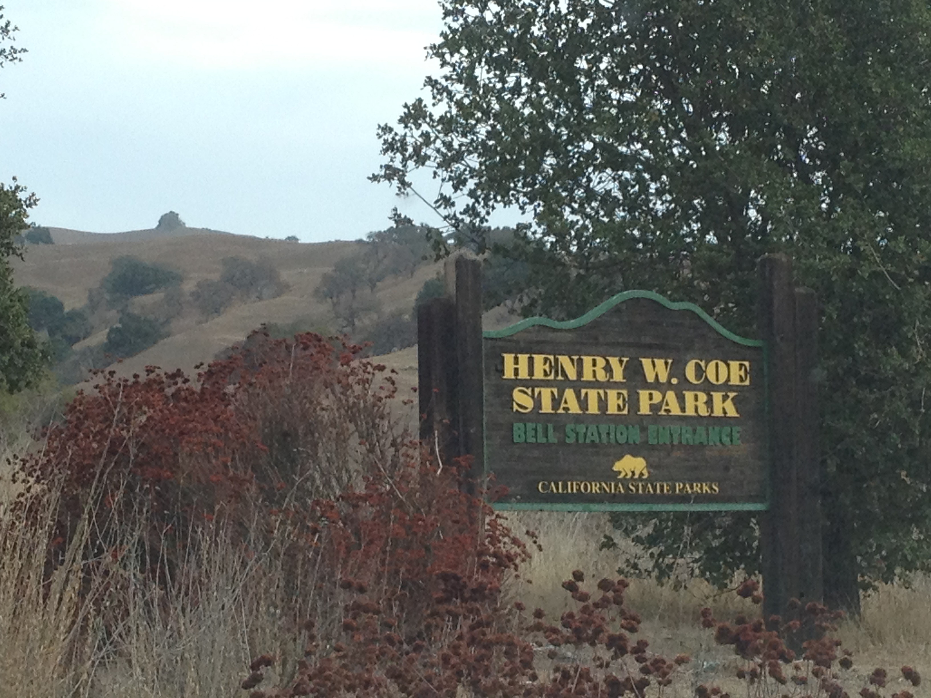
On January 12th, I decided to enjoy yet another beautiful “Juneuary” ™ day in drought-stricken northern California. I was looking for some great scenery and a long climbing workout on my bicycle. I decided also to check on a particular place that I had previously visited in both dry and wet seasons: the lesser known southern entrance to Henry Coe State Park at Bell Station. http://coepark.net/pineridgeassociation/pra-event-list/venueevents/2-henry-w-coe-state-park-bells-station-entrance
This entrance is located on Highway 152 (“Pacheco Pass”), which is a major thoroughfare connecting the coastal and Silicon Valley region with California’s Central Valley. The gate is locked at Highway 152, except for summer weekends http://coepark.net/pineridgeassociation/planning-your-visit/visitor-centers-and-park-entrances/dowdy-ranch-visitor-center and the annual “Backcountry Weekend” in April. http://coepark.net/pineridgeassociation/component/eventlist/details/61-2014-backcountry-weekend The remaining days, including the entire “winter” [sic] season, you’ll need to walk or bicycle the ~7 miles and 1200 vertical feet to the part-time Visitor’s Center. (Here’s a link to a previous trip where I bicycled all the way to the Backcountry Weekend location, past where I went on this trip http://www.everytrail.com/view_trip.php?trip_id=2029004)
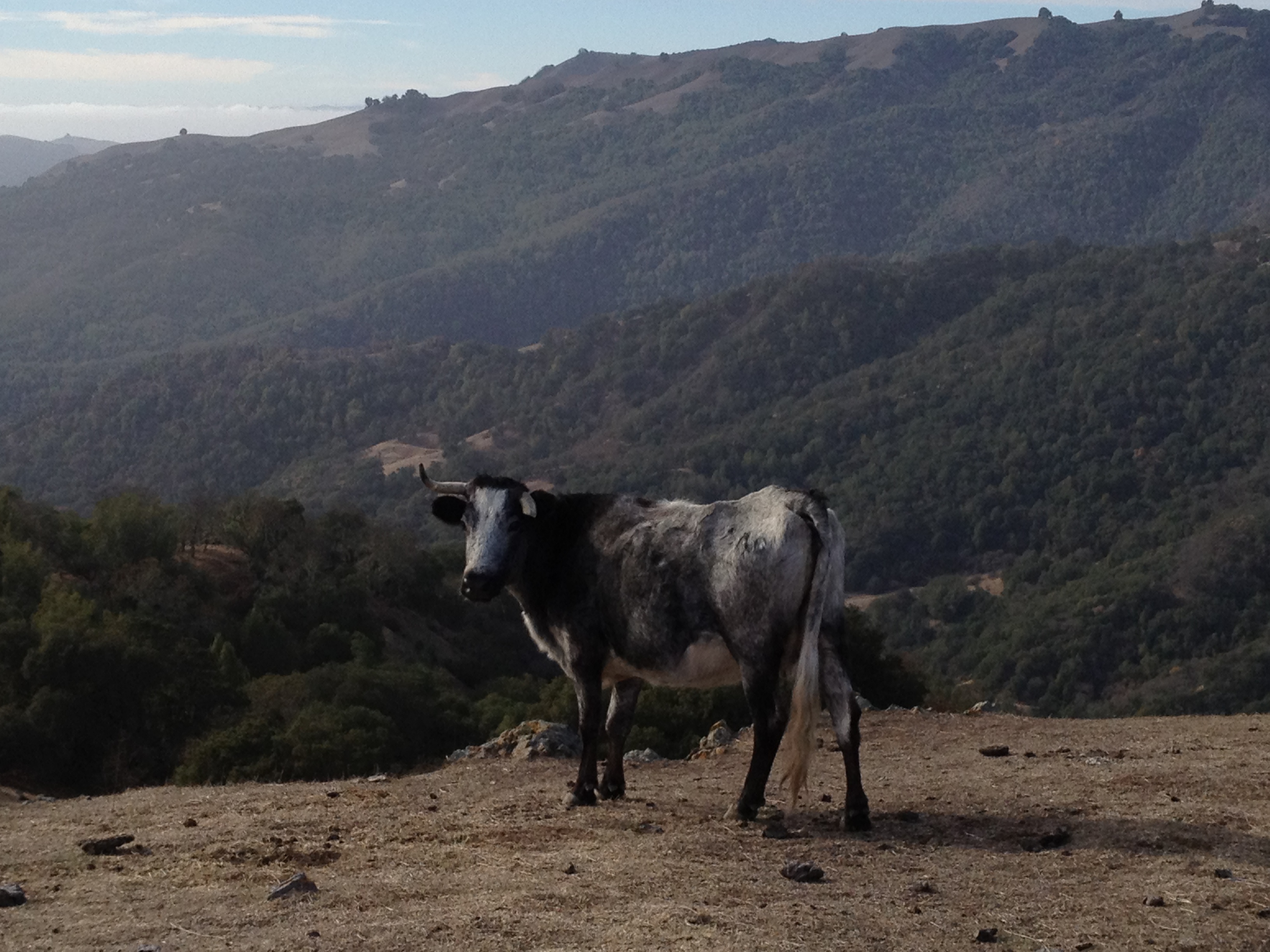
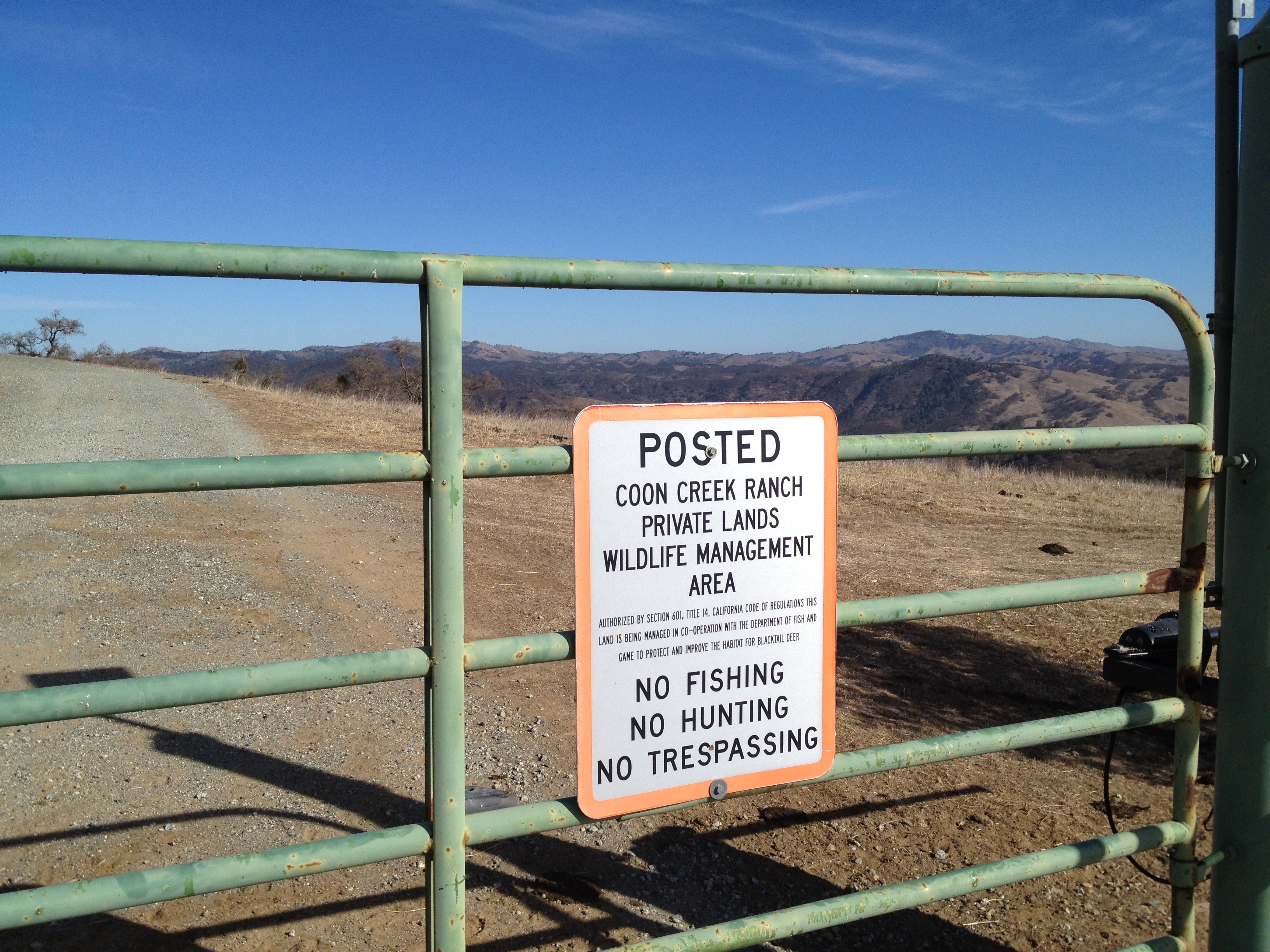
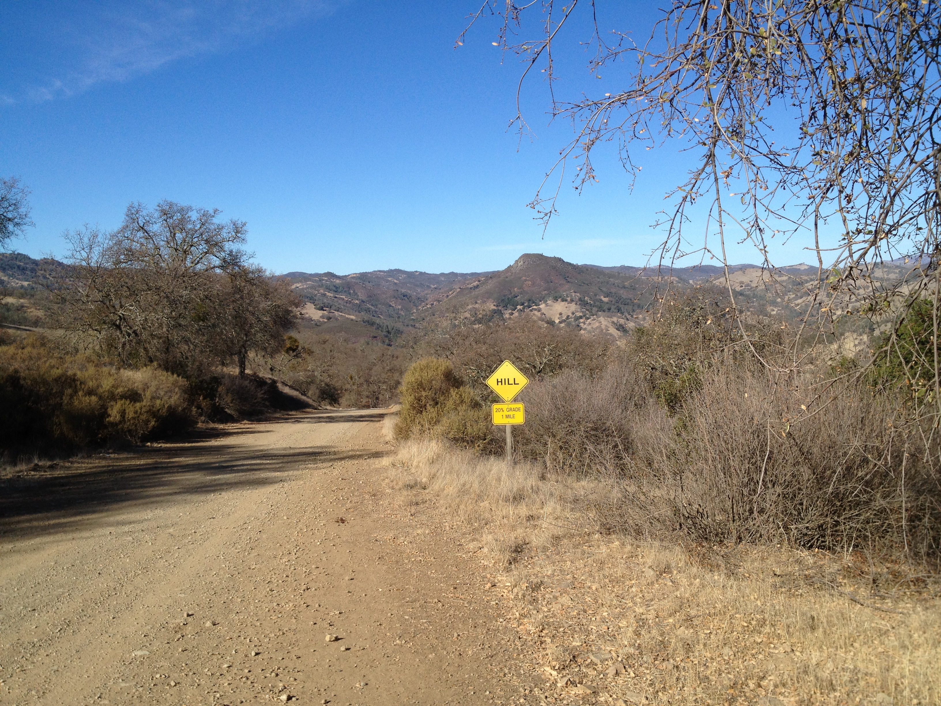
Alomg the 7 mile corridor to the park, you’ll see private ranch lands on both sides, with spectacular views. as you climb above the highway below.
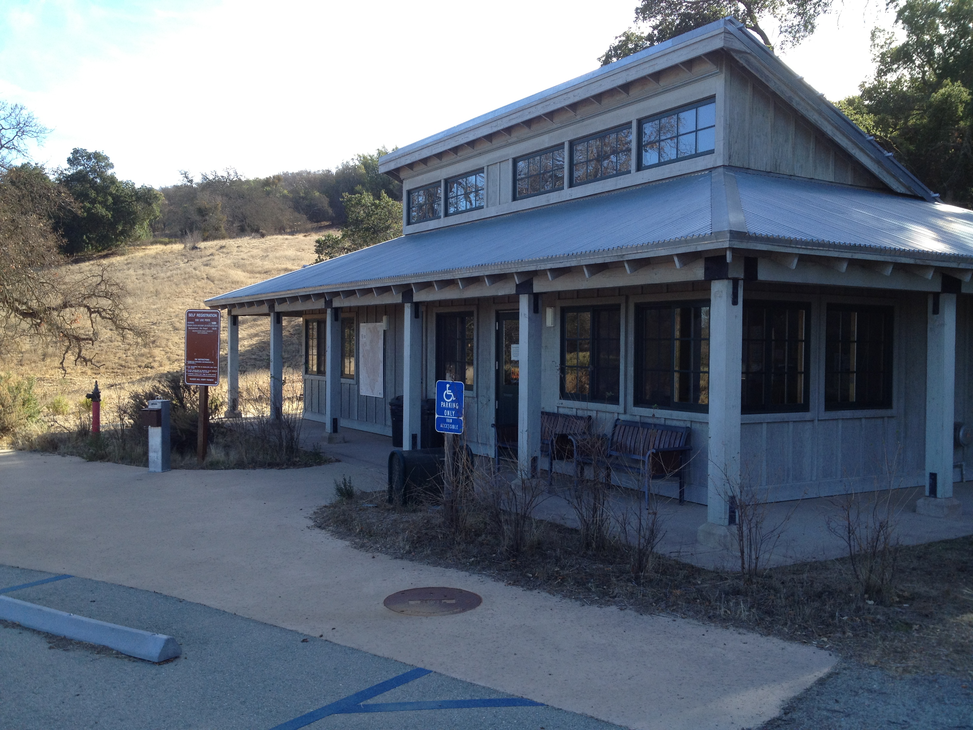
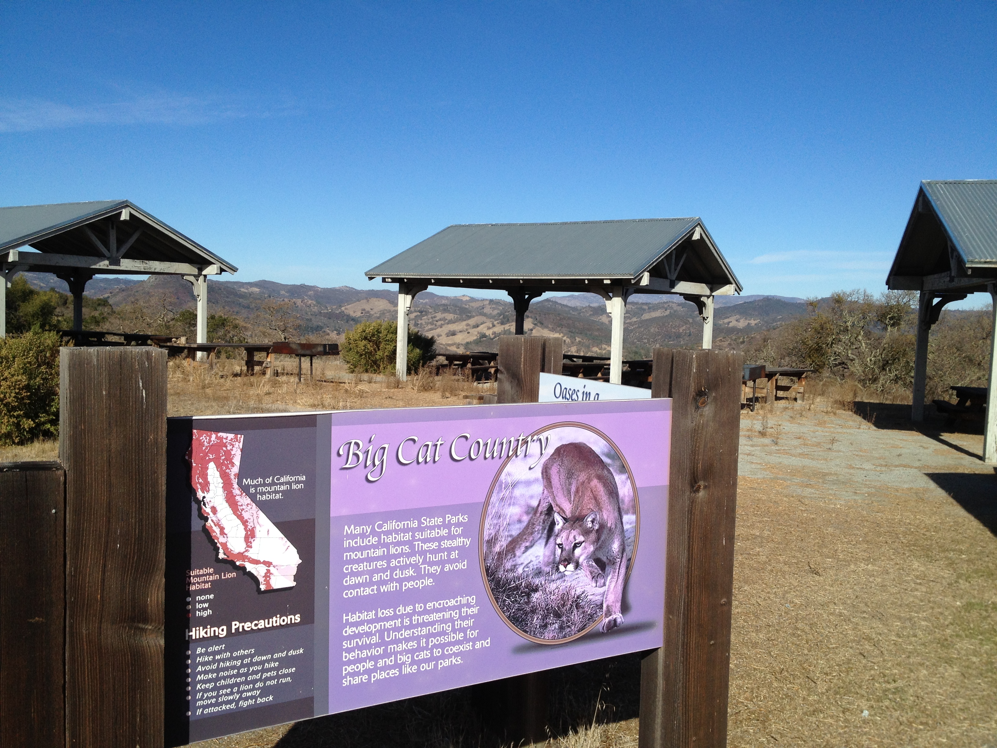
The Visitor’s Center. Built in 2006 and rarely used:
The picnic area at the Visitor’s Center is the home of the “Purple Panther”. It was a hiking friend who first noticed that the sun-bleached sign was turning purple
After heading north from the Visitor’s Center, I lost most of my gained elevation, dropping down to “Pacheco Crossing”
A short (~2 mile) and steep jaunt down the road and I reached my destination. This spot, near the gravel road, is normally gushing with water this time of year.
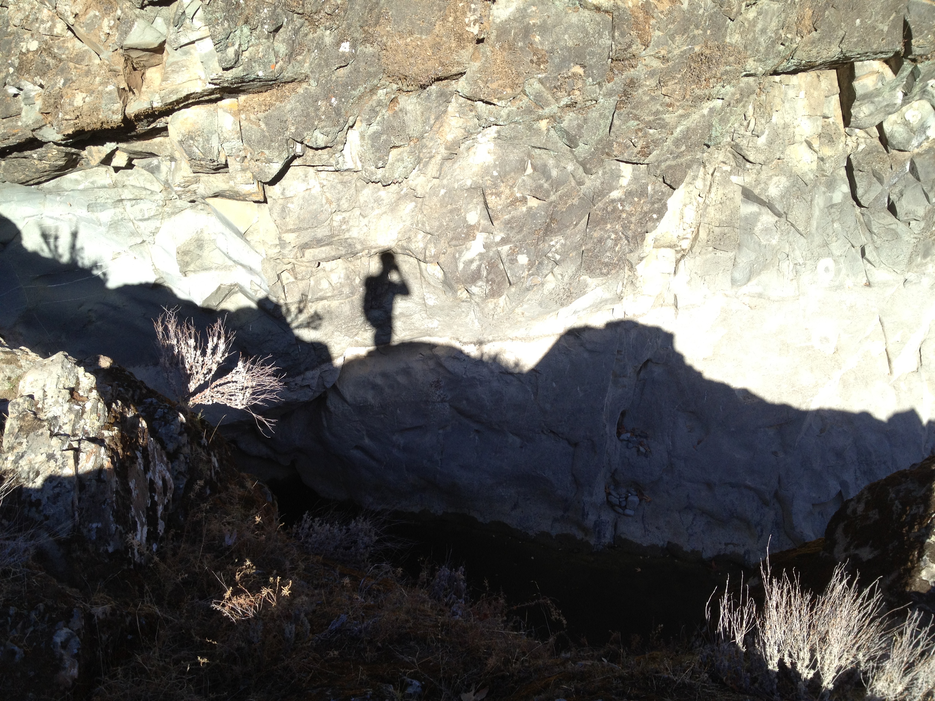
This is the place called “Hole in the Rock”, which is a seasonal (remote) swimming hole. It has a stepped drop of about 20 feet, dropping into a pool that is normally quite large and at least 8 feet deep.
The first photo is from April 2006 (photo credit: http://www.Broadsword.com) and the second is my recent photo.
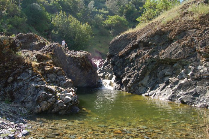
This is a “zoom in” of the previous location. I was standing where water should normally be, at the close edge of the pool. The white water line is where the pool is normally filled and flowing downstream. On this day it was 6 feet lower, and quite slimy (what was left of it)

After a little exploring, I headed back up the hill to the Visitor’s Center…followed by screaming “wheeee!” on the 7 mile downhill back to the car.
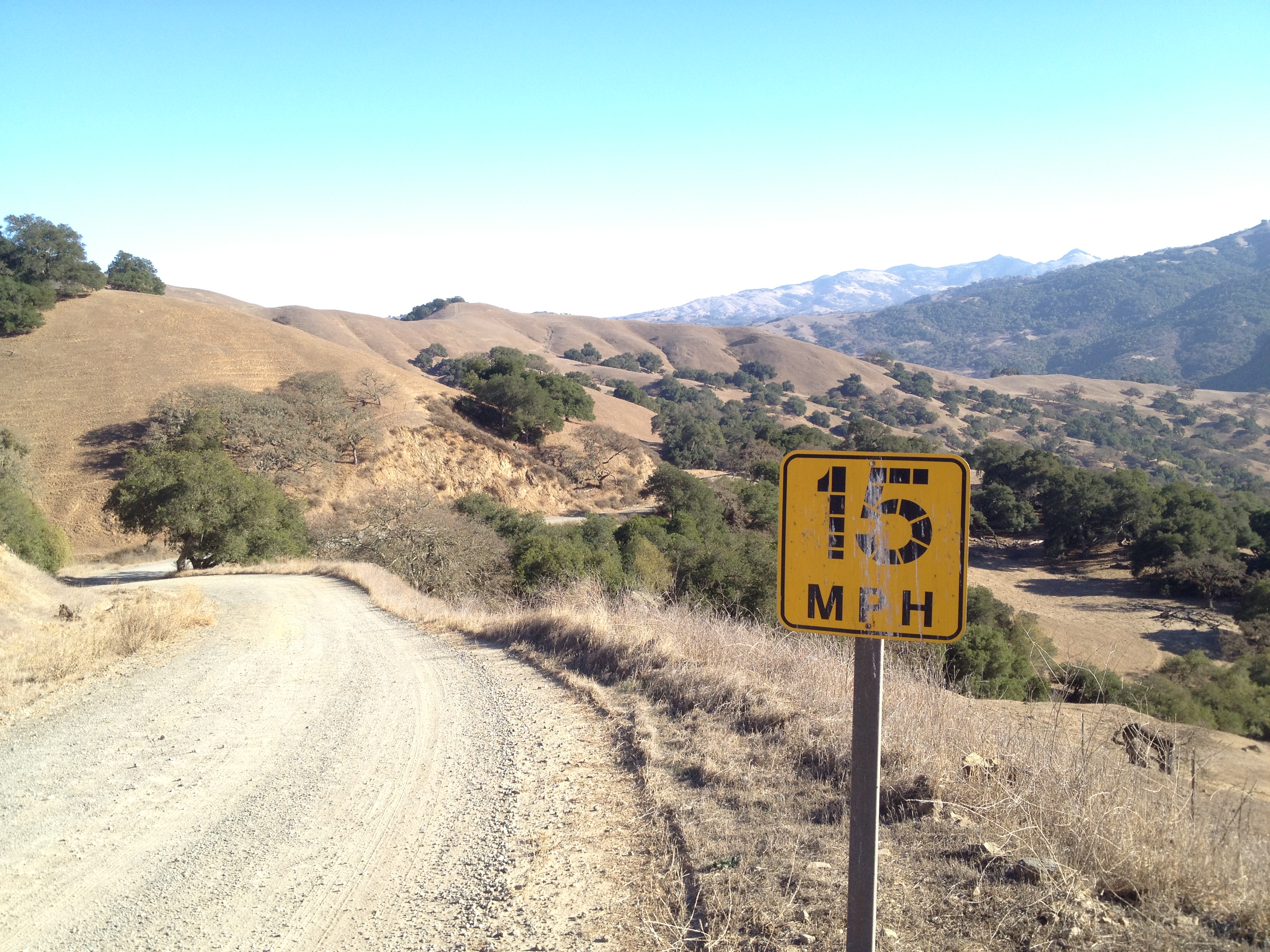
I “may” have exceeded 15mph at times, despite the (absurd) signs on this remote road. I saw one friendly rancher, and nobody else, the entire day.
More pictures: http://www.flickr.com/photos/59666465@N00/sets/72157639812708763/
GPX track: http://www.everytrail.com/view_trip.php?trip_id=2570574
FOOTNOTE:
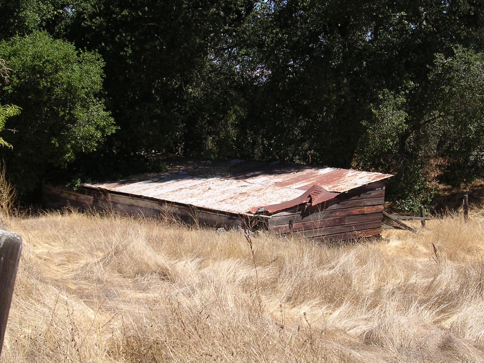
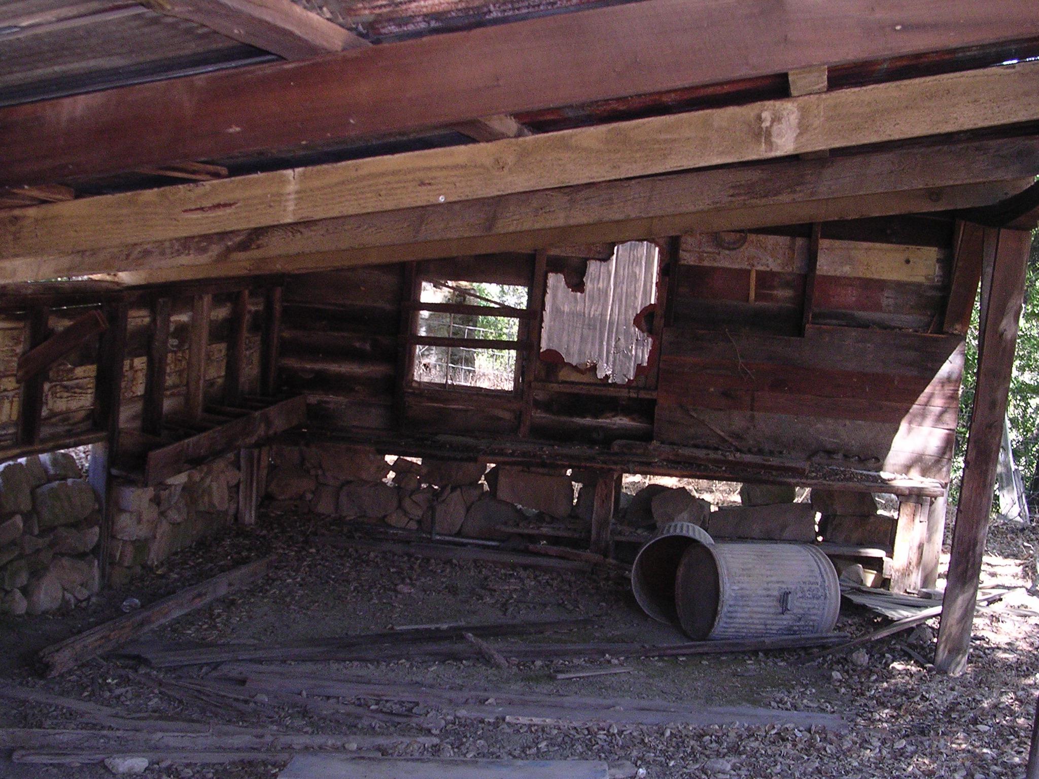
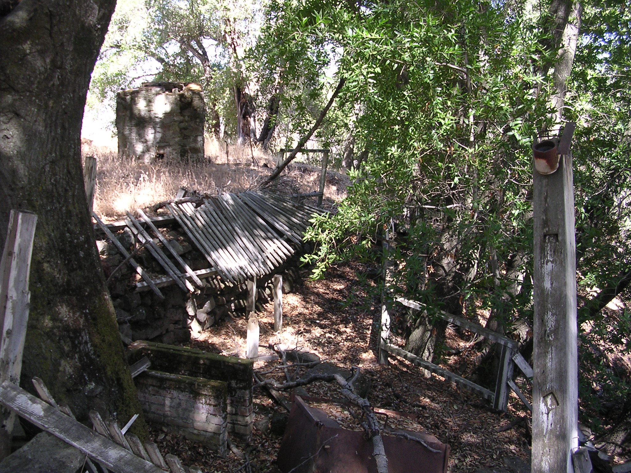
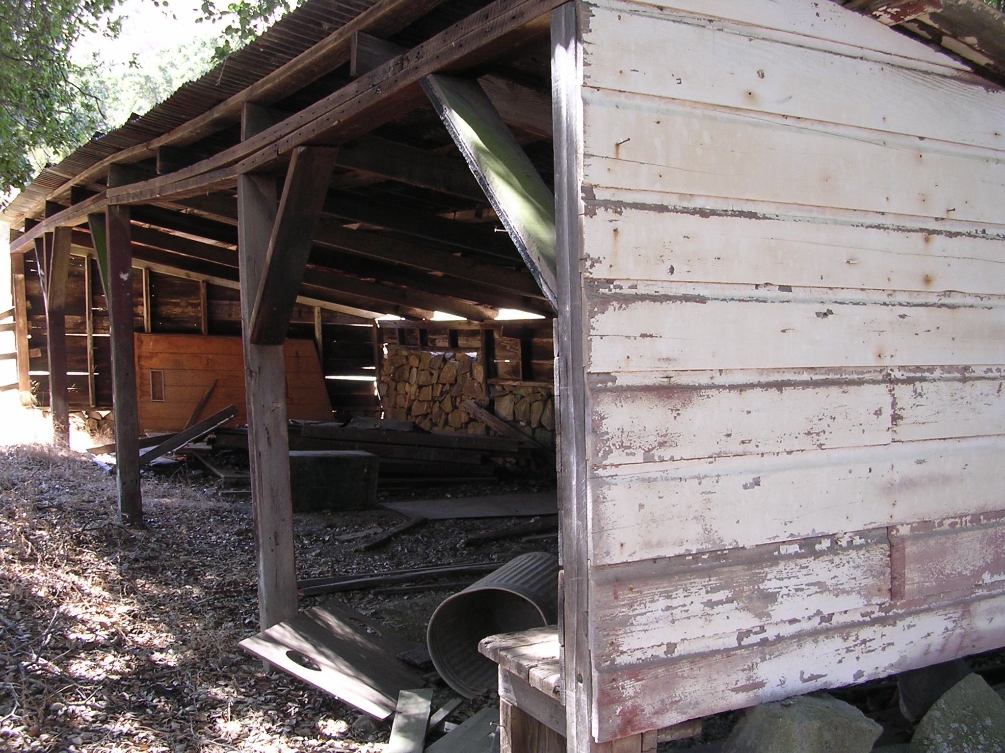
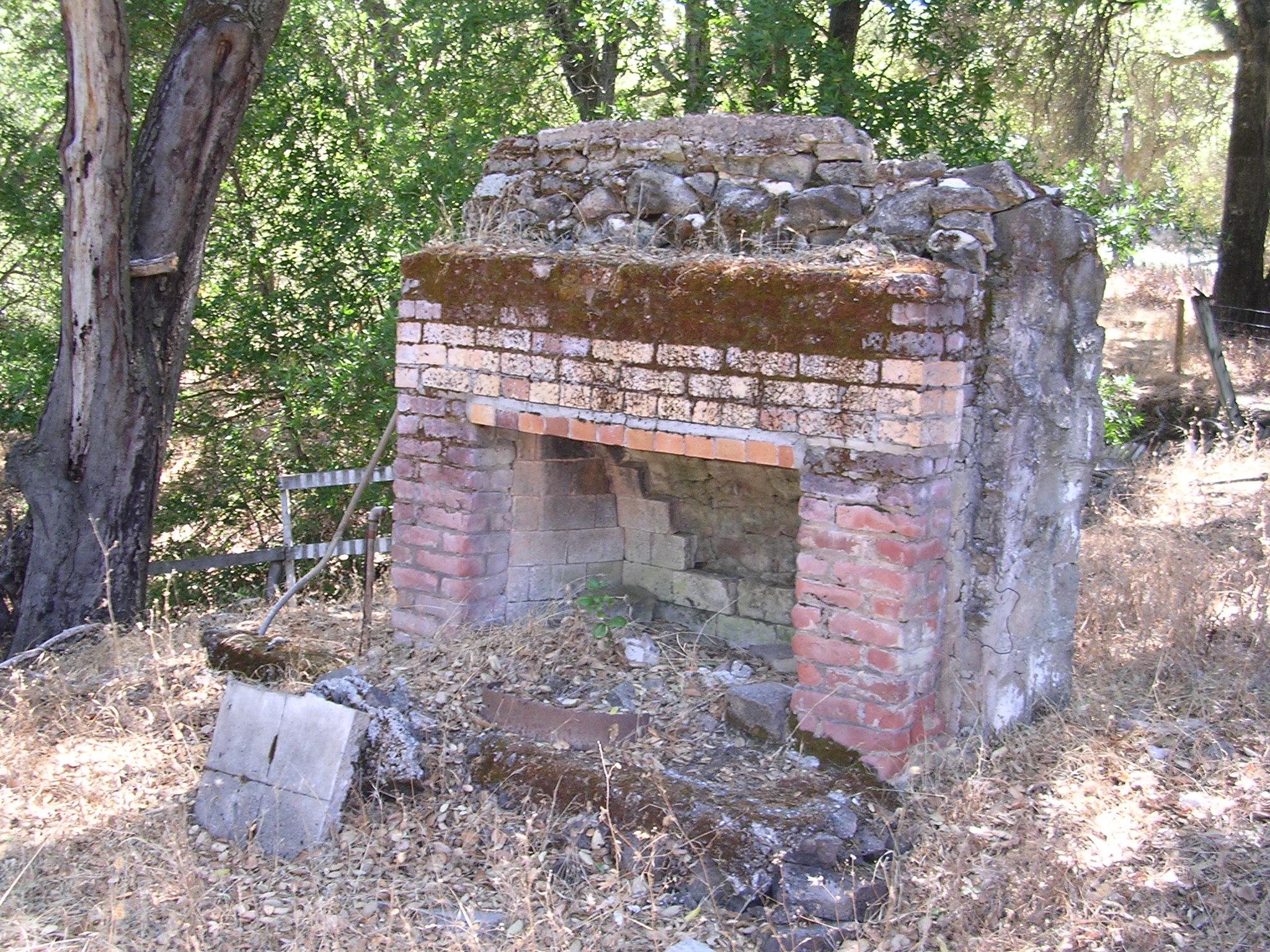
The Visitor’s Center was built in 2006 and I just happened to visit there as it was being completed, prior to the official opening in 2007. To the rear and left of the Visitor’s Center lies the original Dowdy Ranch buildings.
When I visited in 2006, I explored the decaying buildings and took a bunch of pictures. At that time there were no fences or signs discouraging my poking around. This area is now fenced-off to protect the buildings and (I recently heard) a population of rare Red-Legged Frogs. Please don’t enter.
")


Pingback: Henry Coe State Park: Dowdy Ranch, Pacheco Crossing, Bell Station | AlphaRoaming
I’ve never seen a Red-Legged Frog, but based on the amount of land provided to them, they’re the only species on the planet who has successfully received low-income housing.