
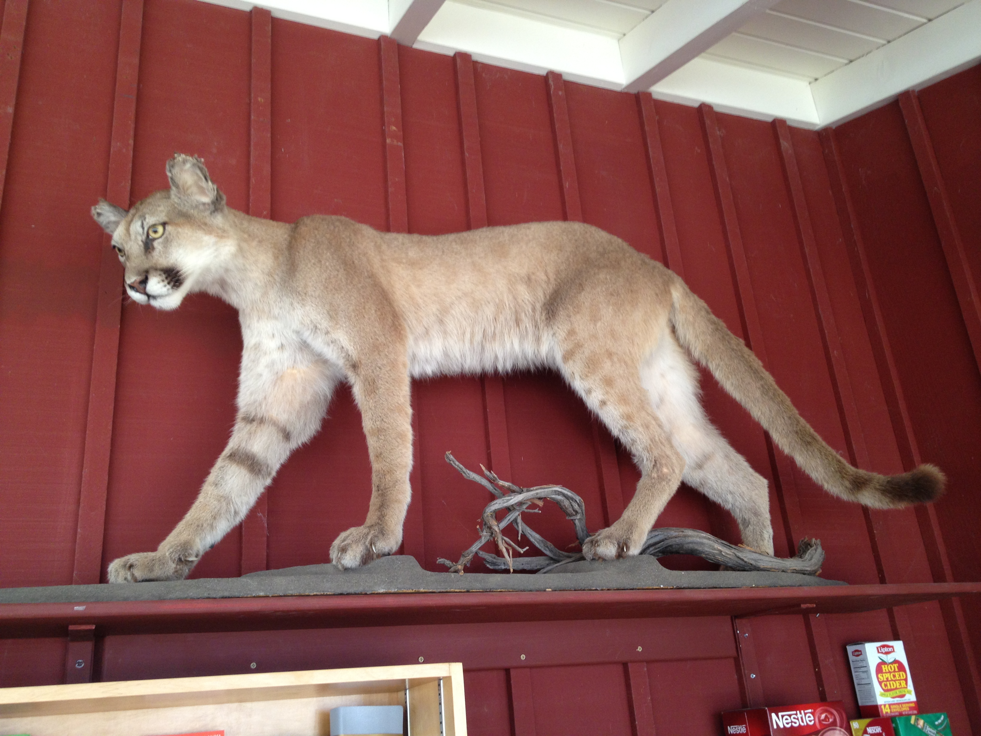
A juvenile stuffed “kitty” in the Visitor’s Center
The pieces of my budding interest in “bikepacking” finally came together this past week. I purchased my first mountain bike in late 2010 because I wanted to go further into the huge 86,000 acre Henry Coe State Park. http://coepark.net/pineridgeassociation/ The bicycle certainly did the trick, by extending my range by about 50%, such as a 20 mile loop around Kelly, Coit, and Hoover Lakes, http://www.everytrail.com/view_trip.php?trip_id=2020743 or a 27 mile round-trip from Highway 152 (Bell Station) to Orestimba Corral. http://www.everytrail.com/view_trip.php?trip_id=202900
About 2 years ago I stumbled upon the web pages of http://www.DryCyclist.com and his bikepacking adventures in Henry Coe and the Mojave Desert. I’ve received some valuable advice and encouragement from him since then. His reports on weeklong adventures in Coe were both inspirational and helpful in planning. http://henrycoe2006.drycyclist.com/main.php http://henrycoe2007.drycyclist.com/main.php http://henrycoe2008.drycyclist.com/main.php
The sweltering summer temperatures in Henry Coe State Park have become reasonable. With the shorter days and one quick rainstorm a few weeks ago, autumn seems on its way. I decided that if I were to go to Coe before the mud and swollen creeks became a factor, the time was “soon”. I carved out 3 days and 2 nights in the family schedule.
I did a “test packing” the day before and rode my loaded rig around the block at home. I had a new Topeak rack and panniers, plus a few bungee cords for the tent and sleeping bag (and back-up attachment straps if the bungees went “boing!”). The weather was expected to be very mild, though the park is extremely dry, with normally reliable springs, like the Willow Ridge Spring being unavailable.
I checked the recent water reports http://coepark.net/pineridgeassociation/planning-your-visit/water-resources/water-conditions-springs and decided that my only reliable water would be Mississippi Lake. It looked like there would probably be water at Arnold Horse Camp Spring or the nearby Tin Cup Spring. That would save me a significant amount of weight over the most difficult climb of my trip. However…being that this was planned as a shake-down cruise for my new bikepacking gear and my own abilities (and interest level), I proceeded with a full load of 2.5 gallons of water, plus some beer. I should be good for 2 days and one night until I got to Mississippi Lake.
Soo…my bike, which is about 35 pounds with the new rack, was “saddled” with over 25 pounds of liquids, plus very minimal camping gear. (Food, one change of light cycling clothing, t-shirt, swim trunks, wool hat and gloves, and long fleece cycling pants). I decided against a camping stove, and left the wool sweater and the sleeping pad behind…minor creature comforts that reduced the bulkiness, if not weight. I would not be lacking for water before (or “if”) I got to Mississippi Lake the 2nd day. About 80 lbs, all together, headed up Mt Sizer!
After having a long and enjoyable chat with Jim Brady (Coe Senior Volunteer) in the office, off I went…up Hobbs Road, then DOWN Hobbs Road where my big climb of the day awaited me.
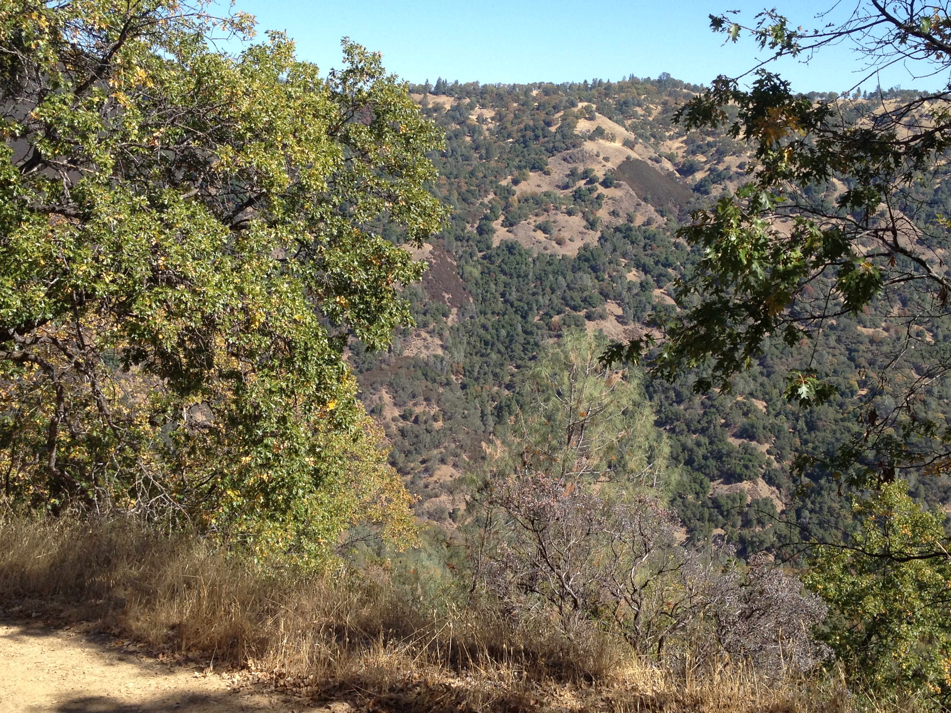
Yes, Mt Sizer is over there!
Side note: I have wondered, but never heard a good reason, why disc brakes are better than rim brakes for my “slow and steady” riding style. I’m not into jumping or technical trails, and I like equipment that is simple to repair at home or in the backcountry. With simple hand tools and few repair parts in the backcountry, I’d rather be driving a basic Pickup Truck instead of a Ferrari if I need to make trailside repairs! (On this prior trip https://alpharoaming.com/2013/08/22/kelly-coit-and-hoover-lakes-henry-coe-state-park/, a friend’s disc brakes acted up and we ended-up tearing out the guts and disabling the brakes due to their complexity and small pieces). On my ~1500 foot descent into “The Hole”, I realized my rims were getting very hot from brake friction. (Let’s see students: 270 lbs (me and the bike) and 1500 vertical feet, minus rolling friction and wind resistance, equals a hecka lotta heat calories being dissipated into my wheel rims…) I stopped frequently to let the rims cool to avoid damaging the tires. Disc brakes don’t touch the tire, though I wonder if they have any issues, like disc warping, under extreme heat?
Soon I was at the bottom, in the dry branch of the Coyote Creek, looking up. 1500 feet of climbing in just over a mile. It’s often called the “steepest trail in the Bay Area”. A local hiking group, consisting of some VERY fit hikers, records their impressive ascent times of under 30 minutes. I’ve previously done it in a little under 50 minutes on foot, and 80 minutes pushing this (unloaded) mountain bike a few years back. Today it was a full 160 minutes, including a generous lunch stop half-way up. I quickly found myself pulling on the seat post, versus pushing the handlebars as I could not get any traction with my feet as I pushed. It seemed like 80 pounds of dead weight on the steepest part.
Eventually I reached the top, at the new bench. The new bench replaces the previous “absurdly tall bench” (story on page 2: http://coepark.net/pineridgeassociation/documents/Summer_2013.pdf ).

After leaving the bench, it was a relatively easy (“steep rolling hills” in non-Coe terminology) down to “The Narrows” and the Arnold Horse Camp.
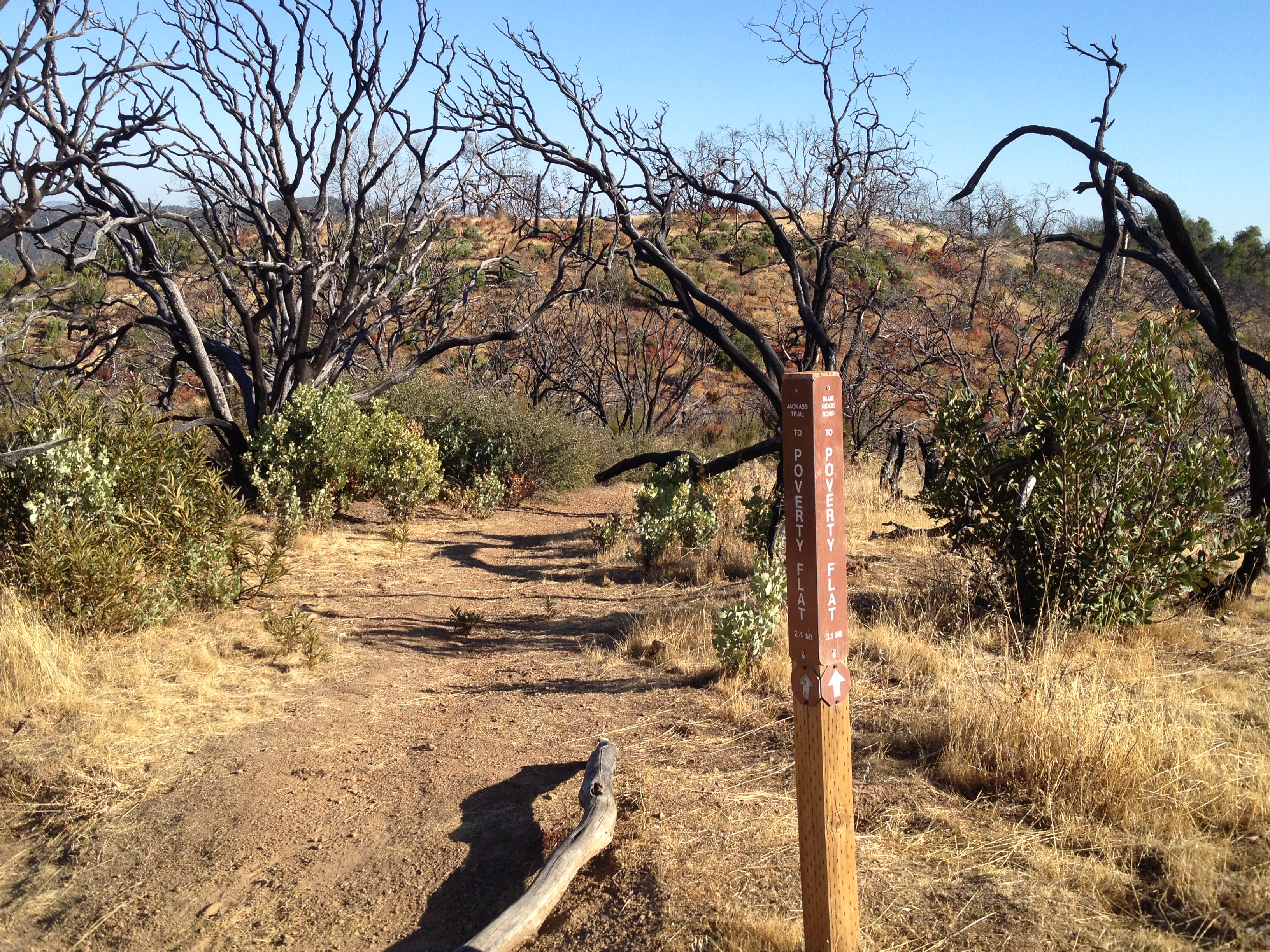
Top of the single-track “Jackass Trail”. Note that this area burned in 2007. The smaller plants are doing well amidst the larger burned bushes and trees.
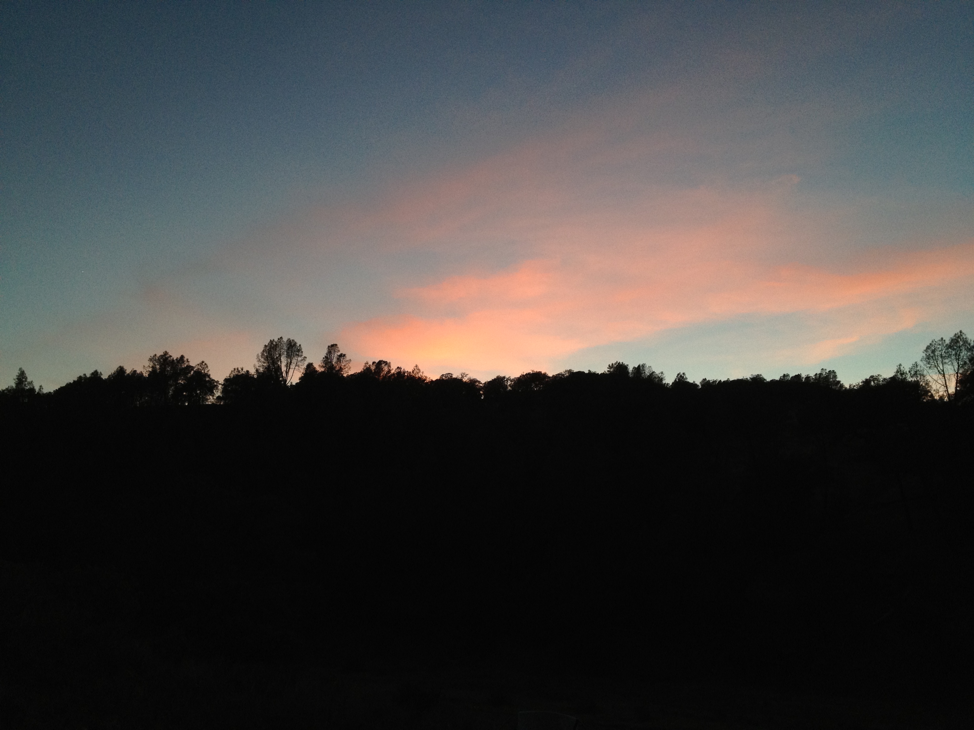
I arrived at 5:00PM, which was about 2 hours before sunset. There was a nice campsite and water in the trough, so I decided to stay the night, instead of getting a little closer to the big Bear Mountain climb a few miles up the creek. That will be for tomorrow morning…
I chose my campsite about 100 feet downhill from the structure (old green 2 room cabin with a large metal canopy over it, presumably to keep the direct sun off the roof). There were creaking noises in the wind, and some large dead branches nearby (“widow makers!”). I also recalled the DryCyclist wishing he had camped a bit further away after hearing rodents scurrying around at night. http://henrycoe2006.drycyclist.com/03105-tent-in-coyote-creek.jpg.html There certainly was plenty of feces piled inside portions of the cabin, which I did not enter (Hanta virus!)

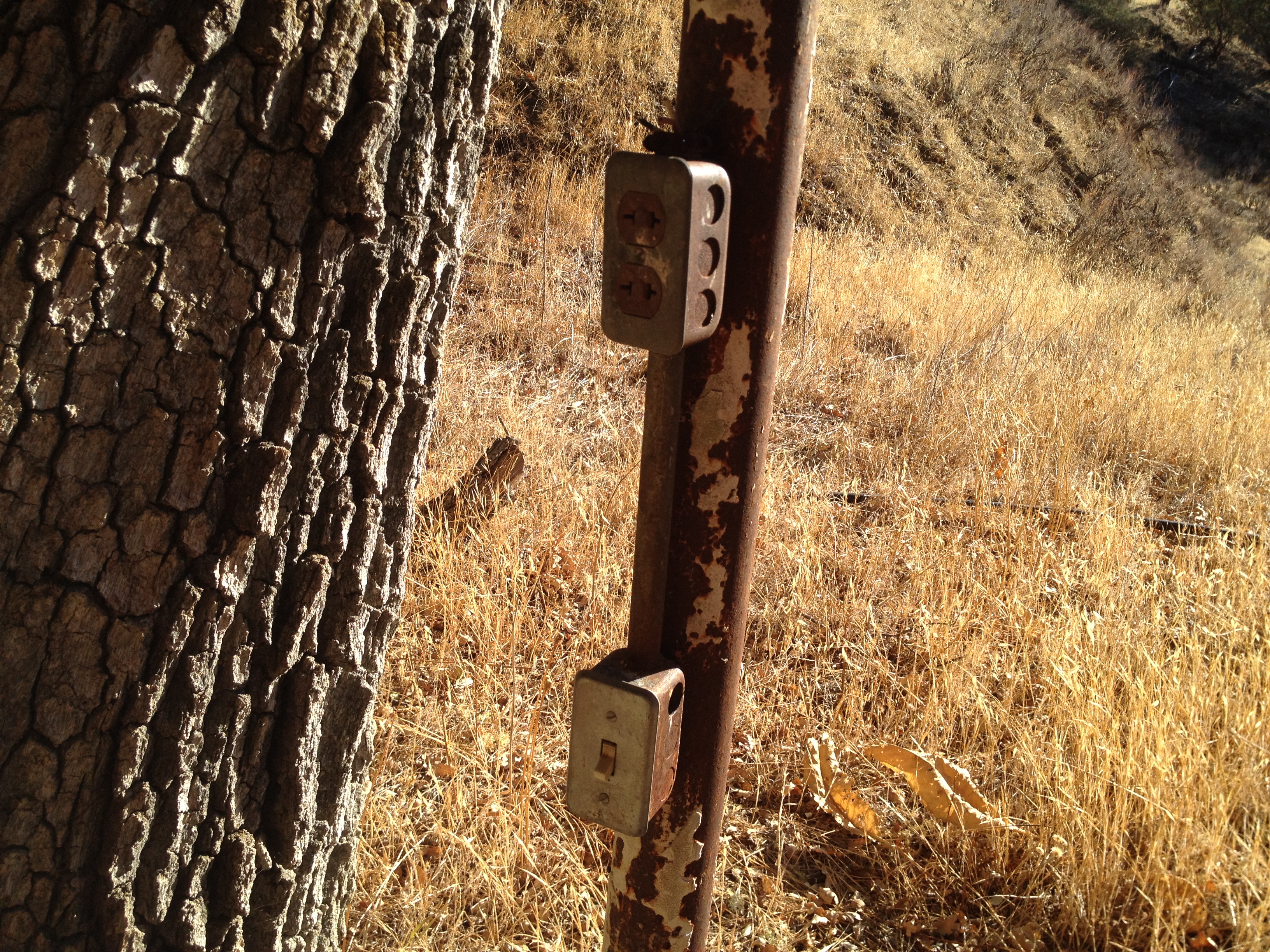
iPhone charging station? They must have had generator power here at one time:
The water trough was 95% full, but not flowing with new water. I put on my swim trunks, grabbed my soap and got the salt, sweat, and trail grime off of me while there was still sun to keep me warm. A quick dinner of cold food and warm beer, and into the tent I went, just after sunset.
Trail time: 6.5 hours (10:30 to 5:00)
Day 2: https://alpharoaming.com/2013/10/05/bikepacking-henry-coe-state-park-day/
A review of my equipment: https://alpharoaming.com/2013/10/05/bikepacking-shakedown-cruise-equipment-gear-thoughts/
More Pictures: http://www.flickr.com/photos/59666465@N00/sets/72157636218894954/
3-Day GPS Track: http://www.everytrail.com/view_trip.php?trip_id=2345398

")


Pingback: Sunshine 2013 revisited | Trails and Tours - Bikepacking
Pingback: Drought in Henry Coe State Park (The Narrows, Eagle Pines, China Hole) | AlphaRoaming
Pingback: Bicycle Camping (Bikepacking) Half Moon Bay via Kings Mountain Road & Purisima Creek | AlphaRoaming
Pingback: Walsh Peak Trail, Pacheco Camp @ Henry Coe State Park | AlphaRoaming
Pingback: Ugh! Let’s do it again! Mount Sizer (Henry W. Coe State Park) | AlphaRoaming