
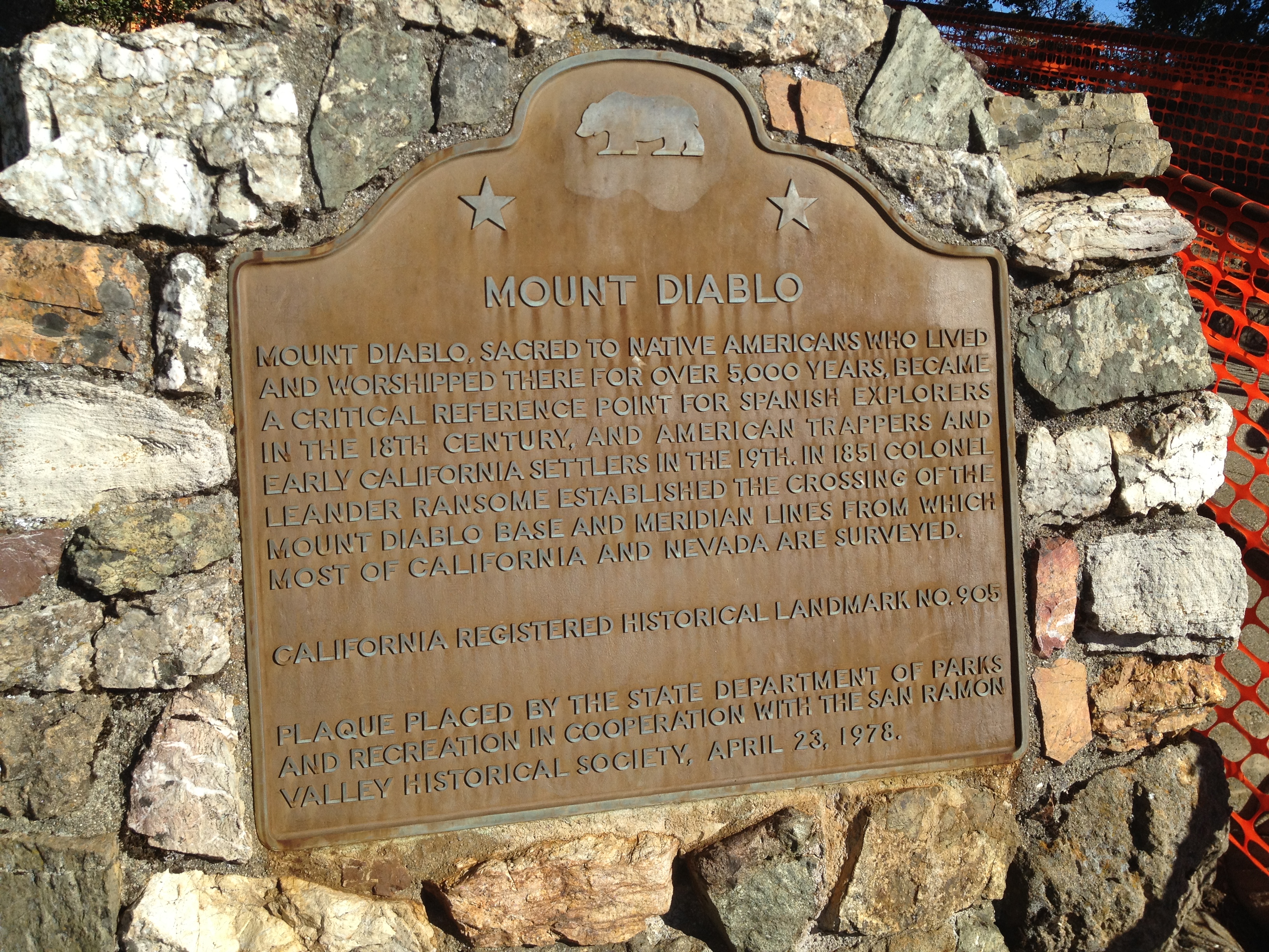
The last time I had been to Mt Diablo, which looms over the area just southeast of San Franciso, was over 20 years when I didn’t wander far from the car. This time, one of my hiking accomplices and I made a rough plan for a 10 – 12 mile loop (which ended-up being 14 miles)
We drove bright and early, against the weekday commuter traffic, and were on the trail by about 9:30AM at Curry Point.

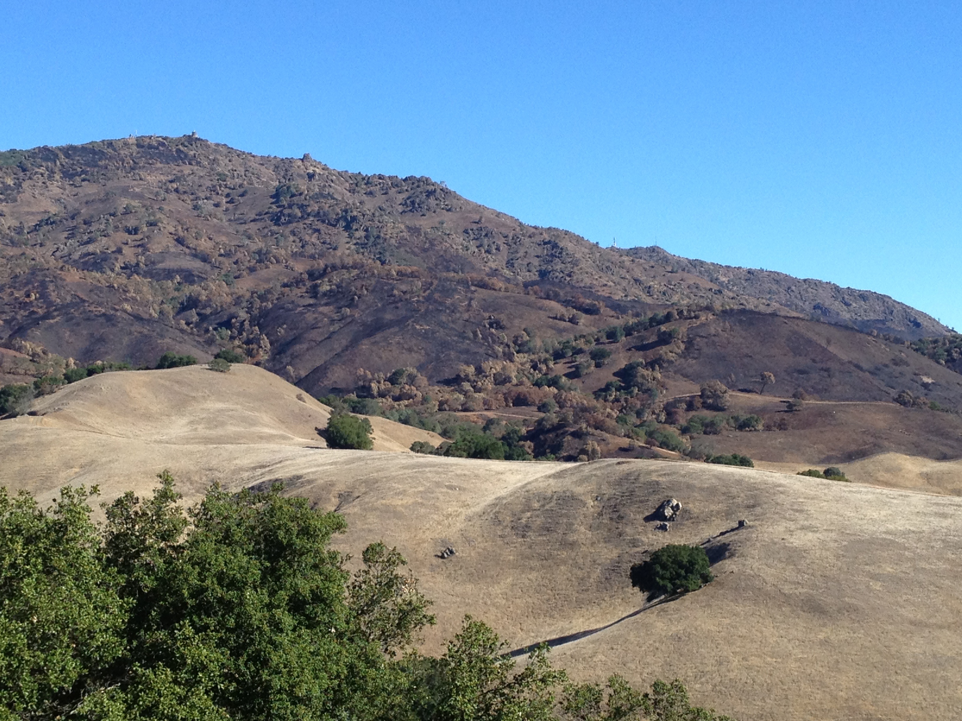
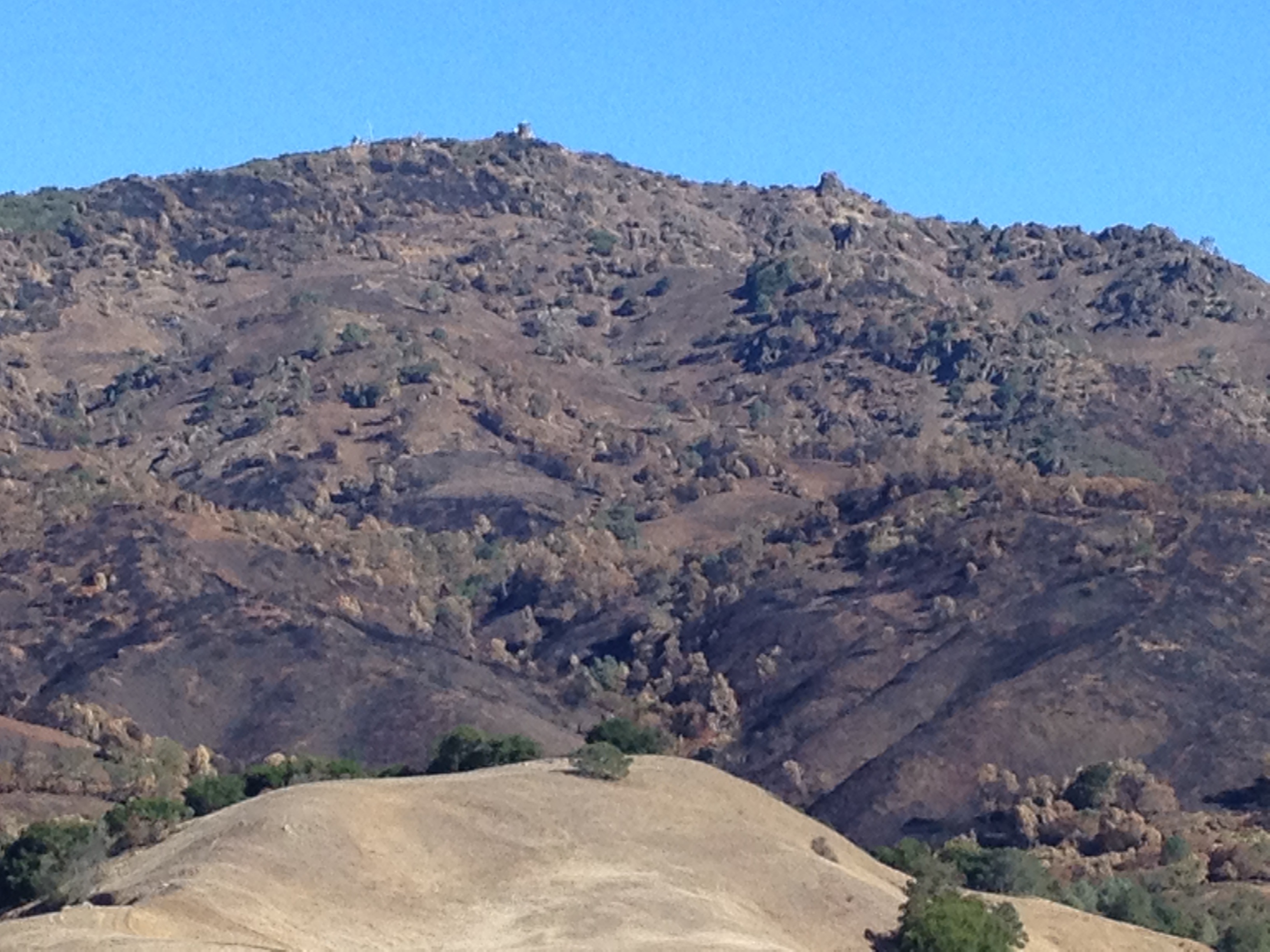
The start of our hike offered views of the recent 3100 acre fire. From our vantage point we could see a wide horizontal strip across the lower slopes of peak which had burned.
The hike was wonderful, and the first time in this area for the both of us (which included a small bit in the neighboring 4000 acre Morgan Territory preserve. http://www.ebparks.org/parks/morgan )
The area very much reminded me of Henry Coe State Park to the south. I suppose the stretch between here and there is called the “Diablo Range” for a reason!
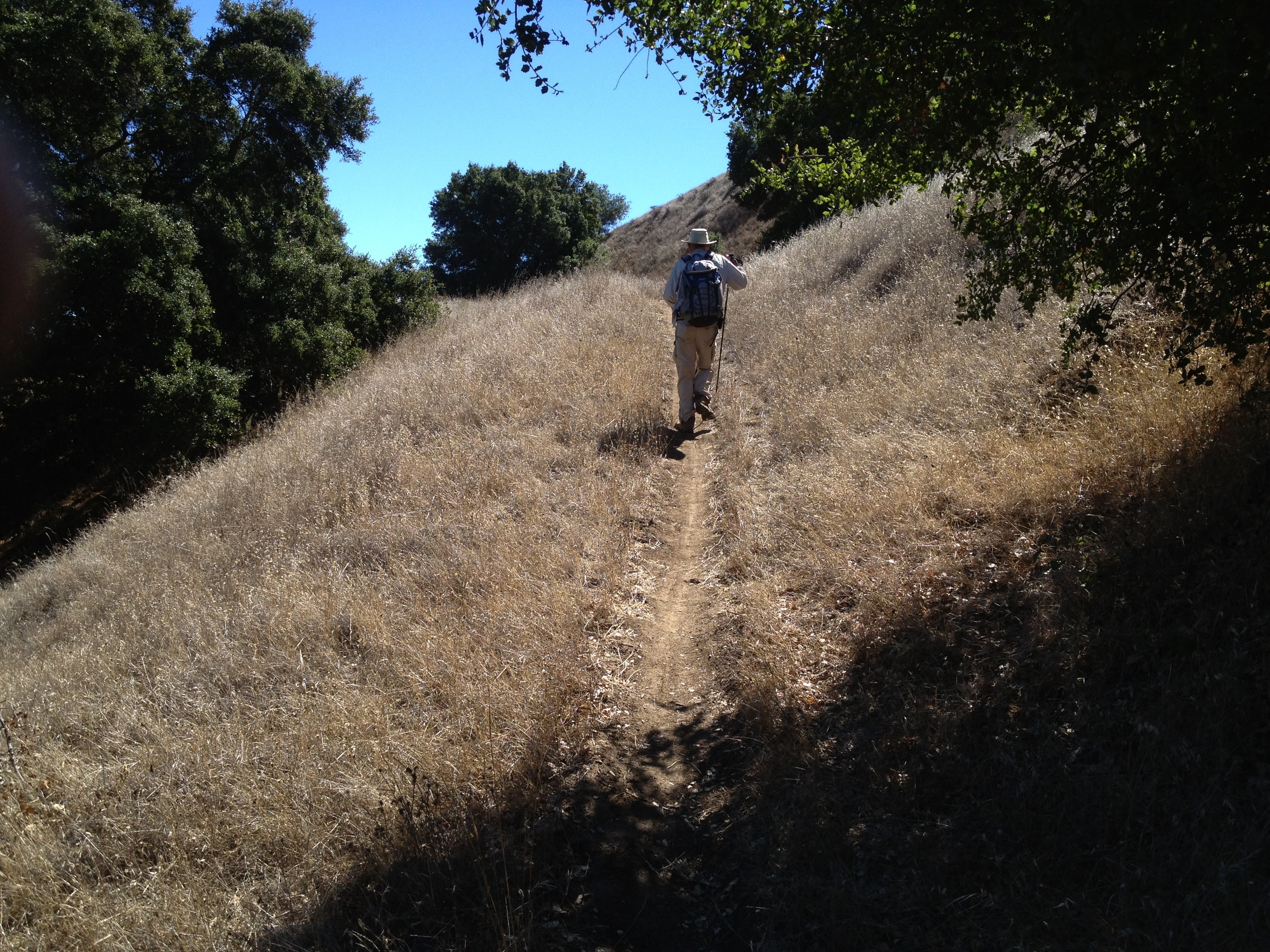
There were some interesting rock formations as we went in and out of dry, exposed grasslands.

Later in the day we drove to the summit, where the fire had also come up to the edge of the road, as well as up to the Depression-era stone building at the top.

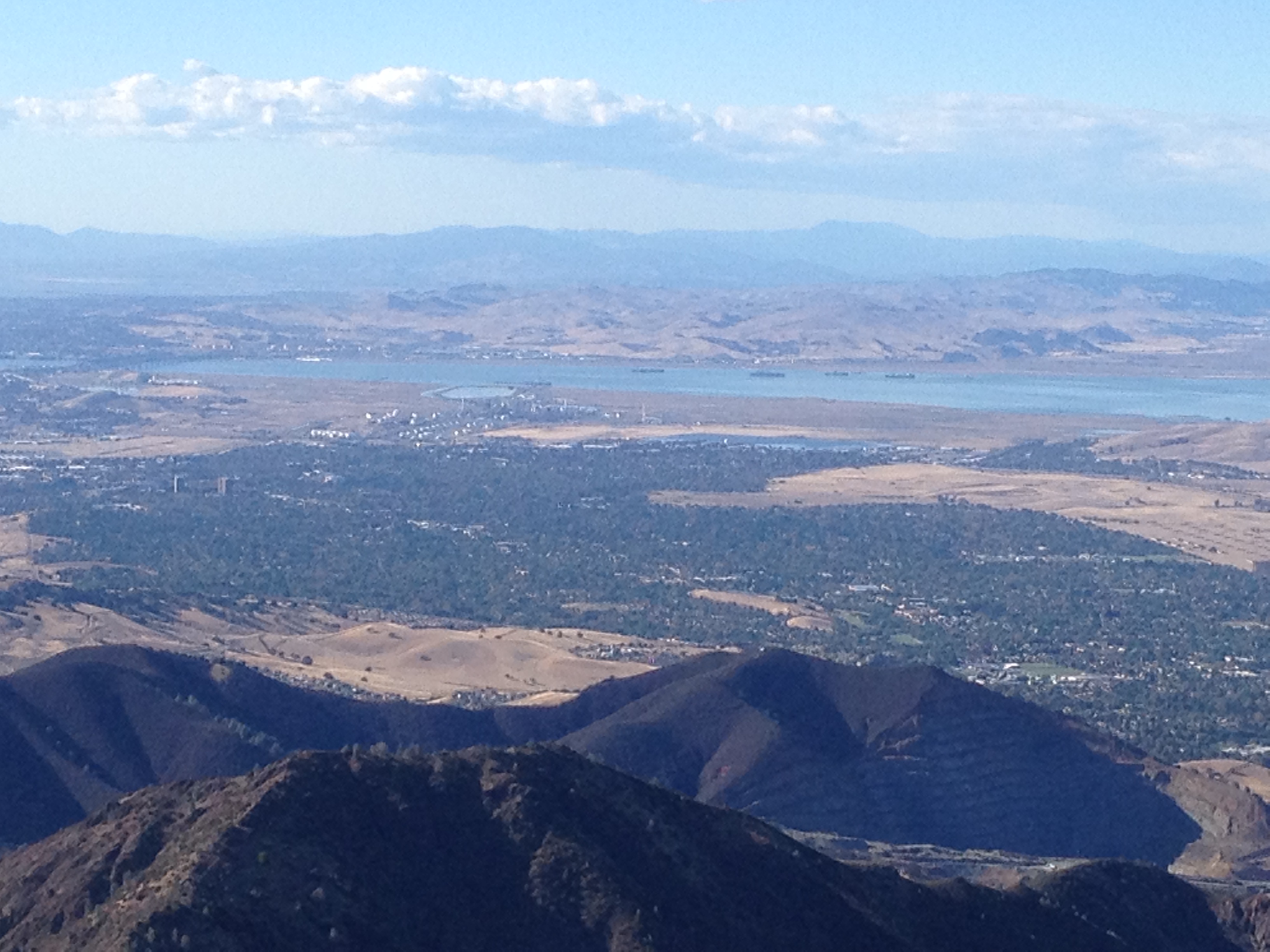
Looking northeast towards Benicia
All in all, it was a “proper” length hike for both of us (given that my previously blogged knee injury was slowing me a bit) and a beautiful autumn day.
…and we have sooo much more to cover in this large park. I don’t expect it will be 20 years before I return!
More pictures: http://www.flickr.com/photos/59666465@N00/sets/72157635995789426/
GPS track: http://www.everytrail.com/view_trip.php?trip_id=2333236

")


