
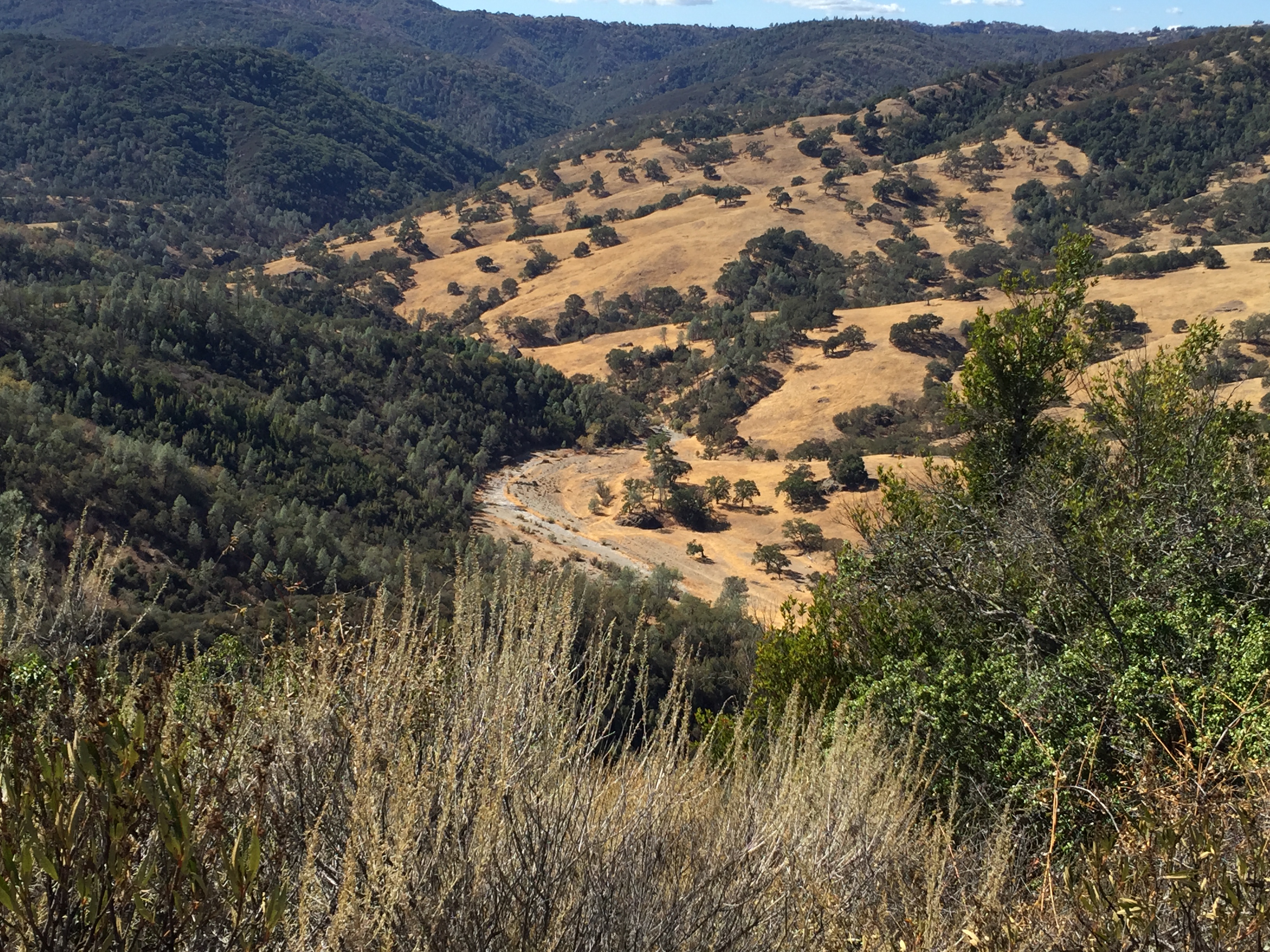
I went on a fun and lengthy (~18 miles and ~3500 vertical feet) hike in Henry Coe State Park (http://www.CoePark.net) through some familiar terrain. http://www.strava.com/activities/208957413 The plan was to meet three other friends at park HQ at 8:30AM. Given that it’s October, I left the house shortly after sunrise and enjoyed the long shadows over Morgan Hill as I drove up to the park. (Note the low lake level, and the prominent El Toro peak at center-rear) 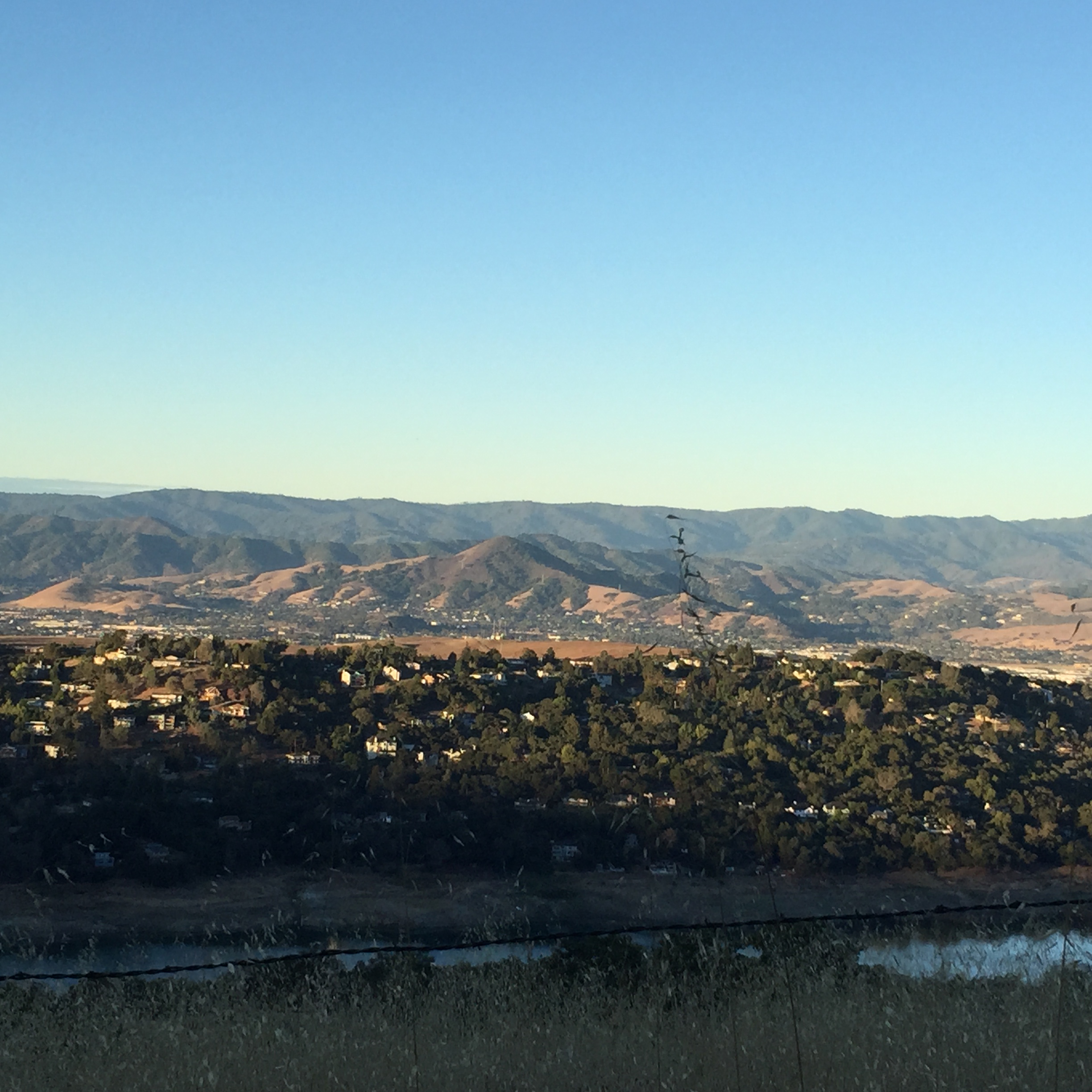
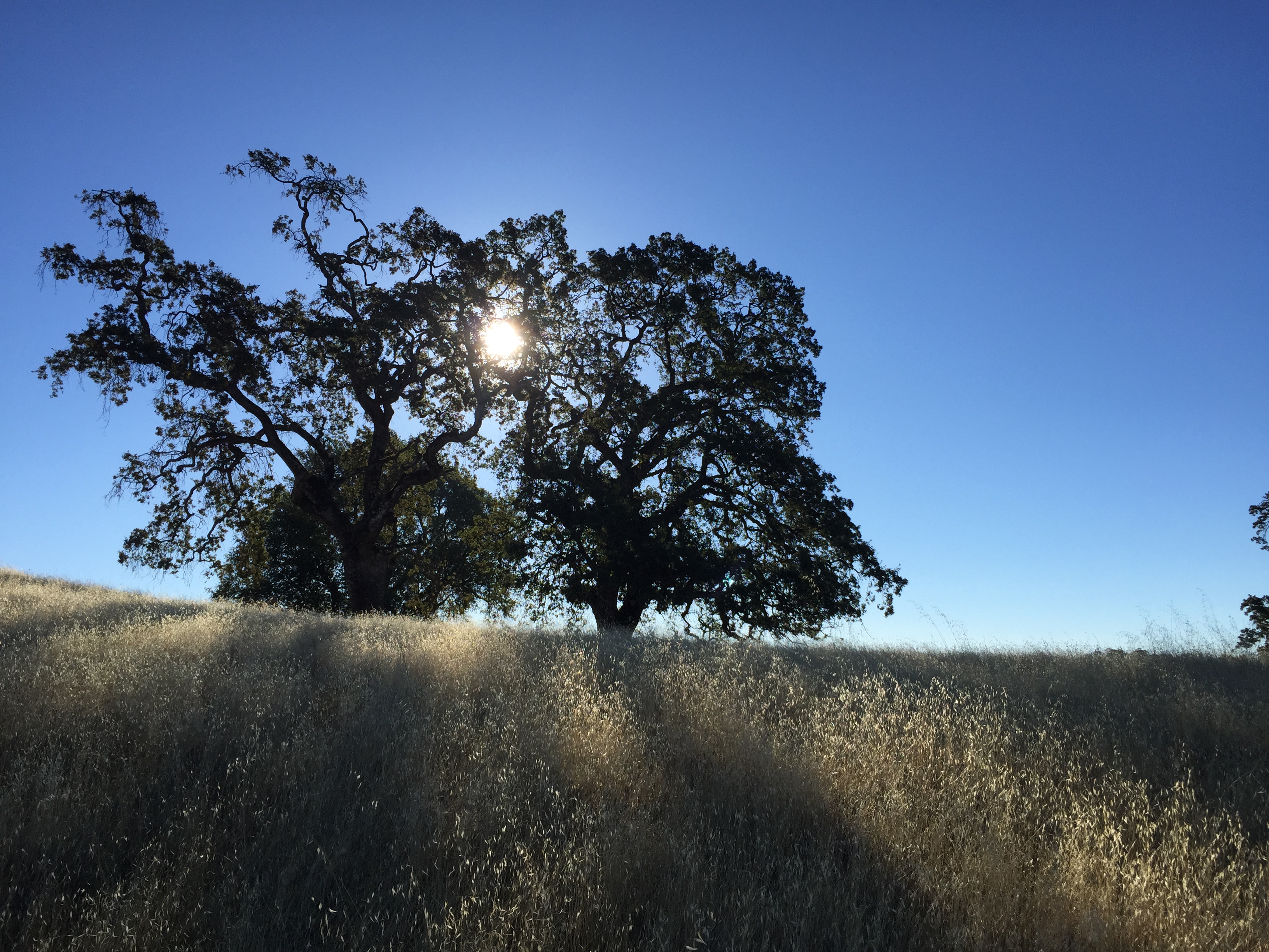
All four of us got there a bit ahead of schedule. We paid our fees, and chatted with the “INCH” hiking group, with about 20 participants heading in the same general direction. Beautiful sunny day!
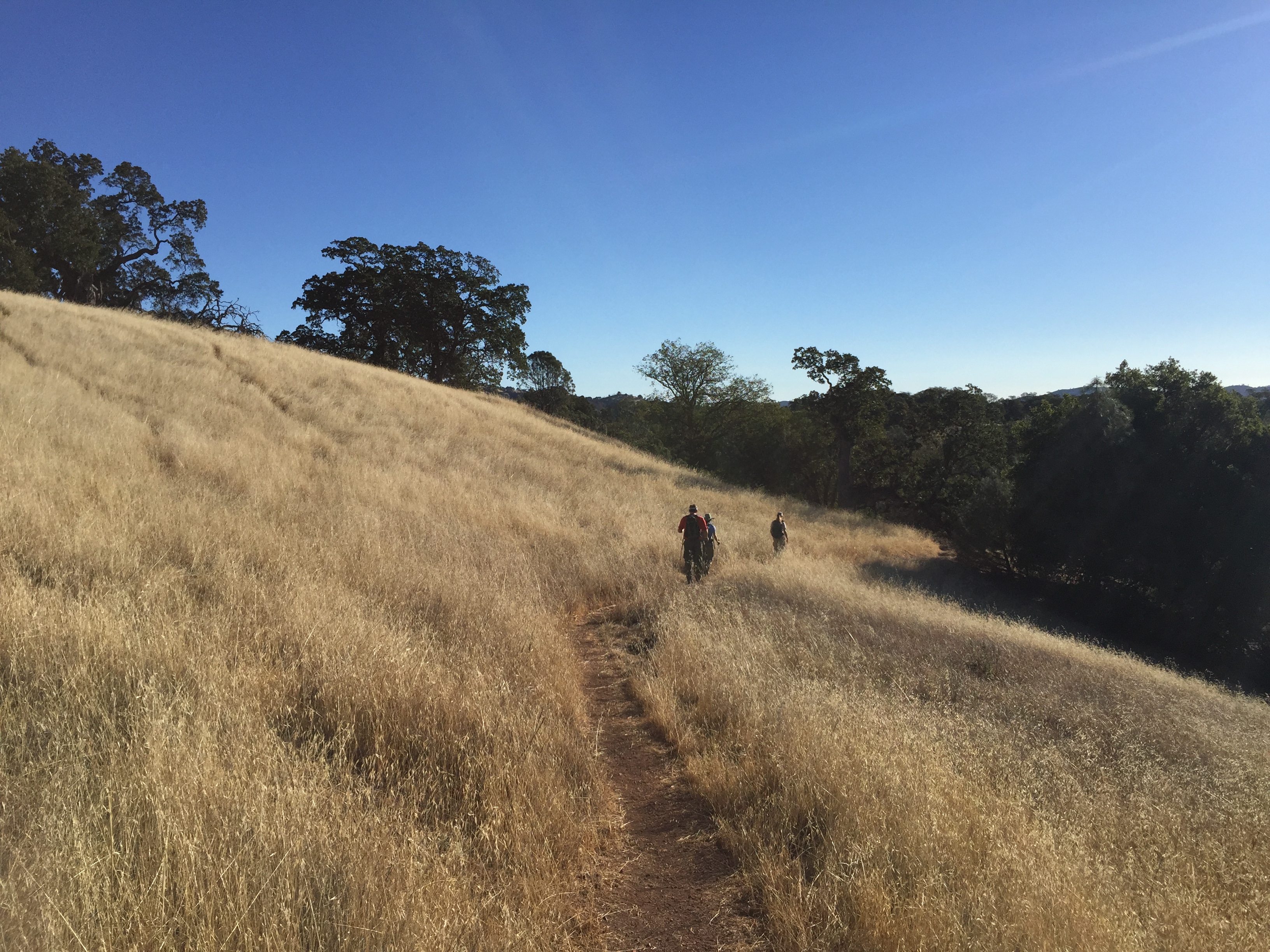
High(ly flammable) grass! Let’s hope for some early and extensive rains this fall!
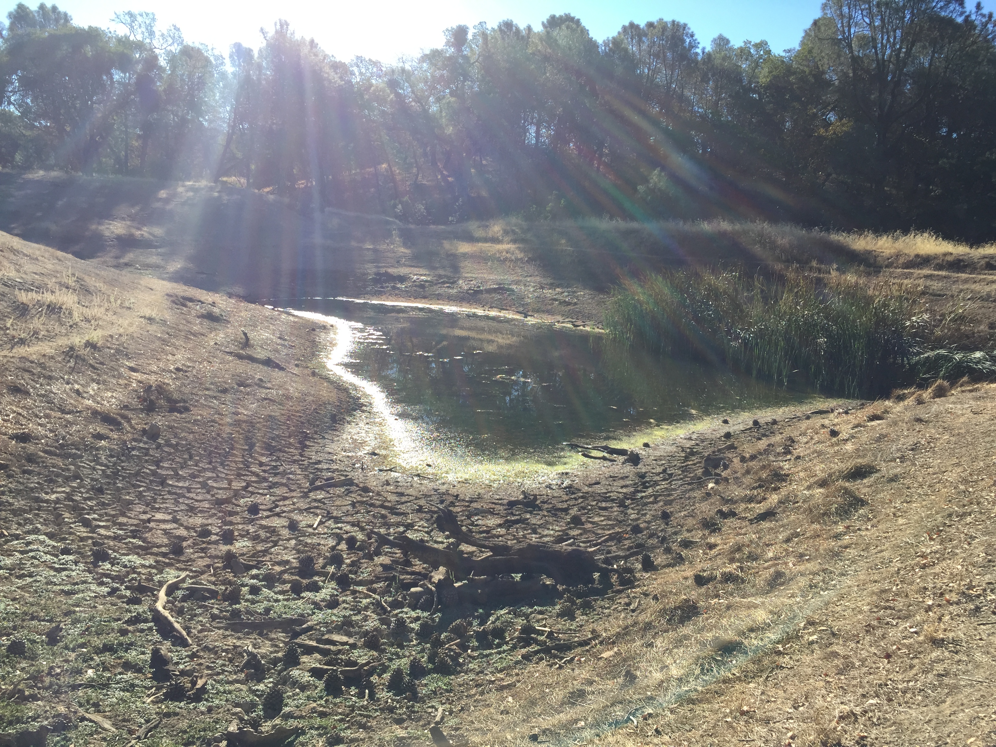
In the Manzanita Point area we stopped at Bass Pond. There are still fish there, but the water was VERY low
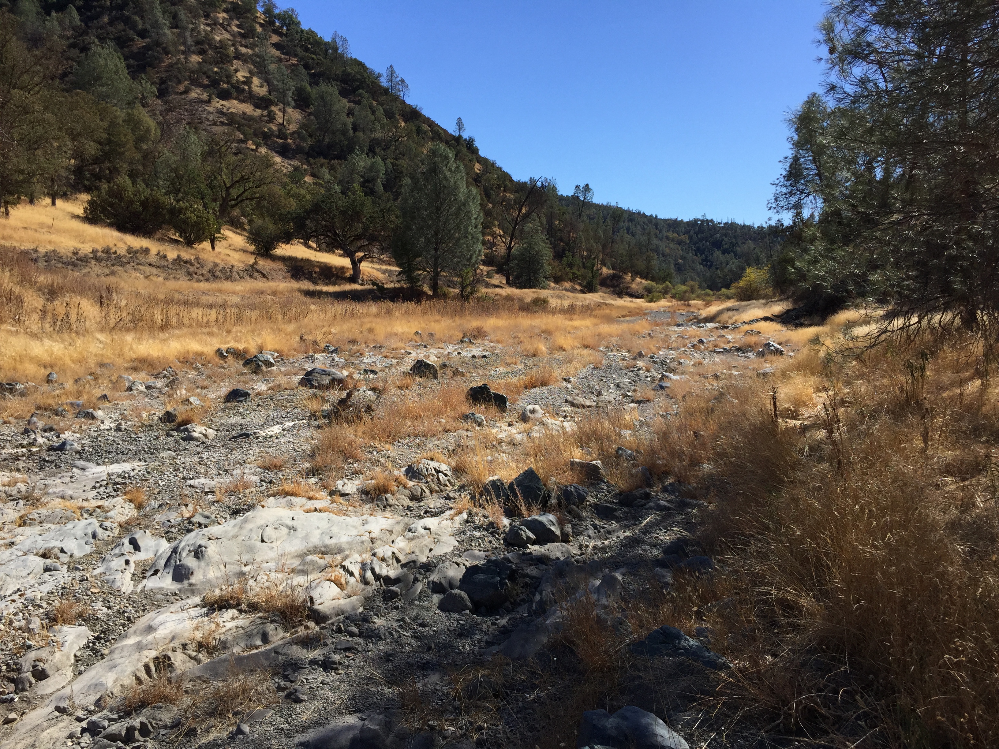
We zig-zagged down to China Hole, then started up “The Narrows”, which is a difficult hike when there’s water, but we saw very little of that…

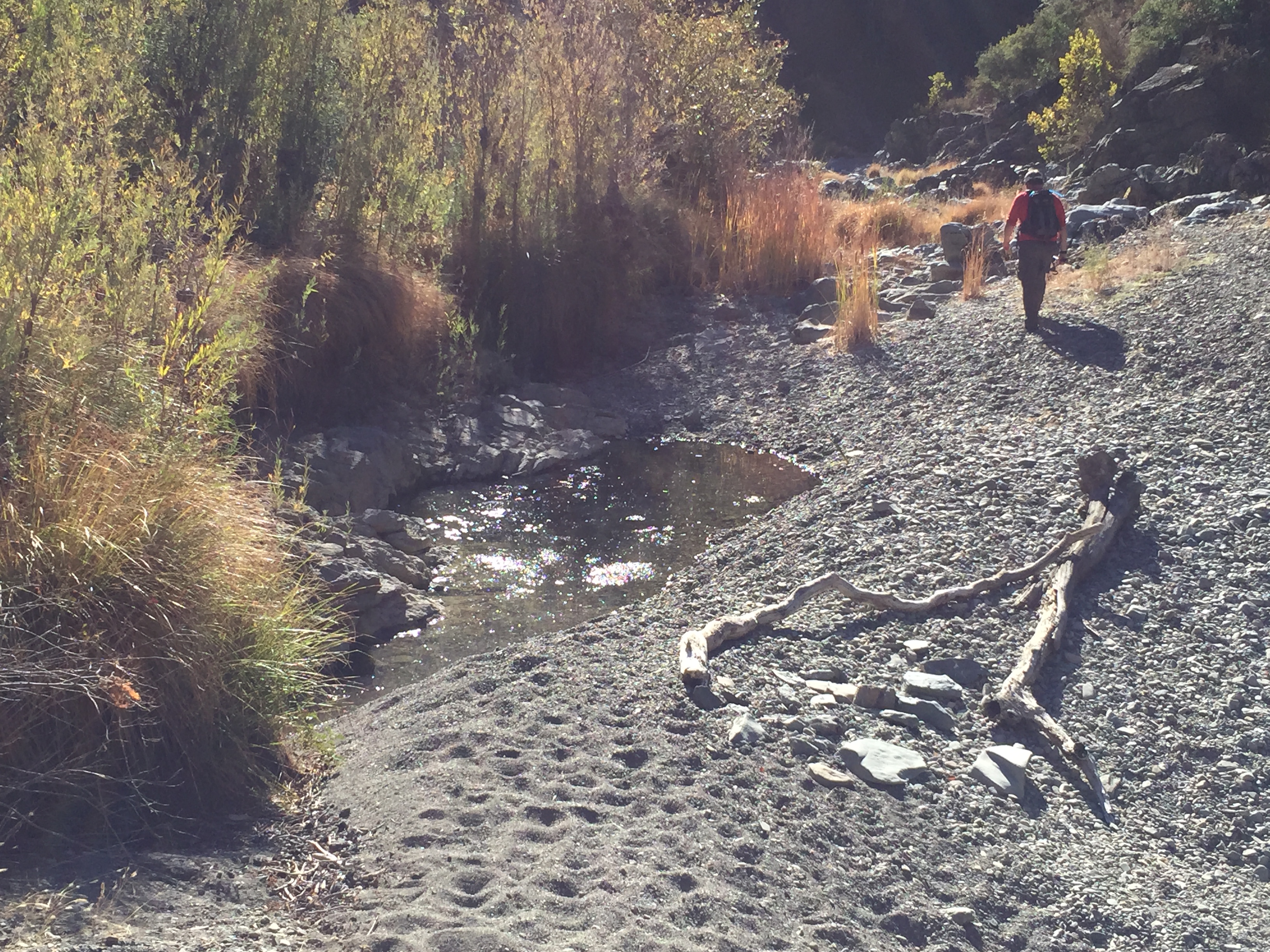
Notice in the lower-right of this picture you’ll again see the 6 deceased turtles and the (cow or pig?) vertebrae. This spot still had some minor dampness and struggling water plants in the lowest spot.
A few spots along The Narrows did have enough water to support a few small fish.
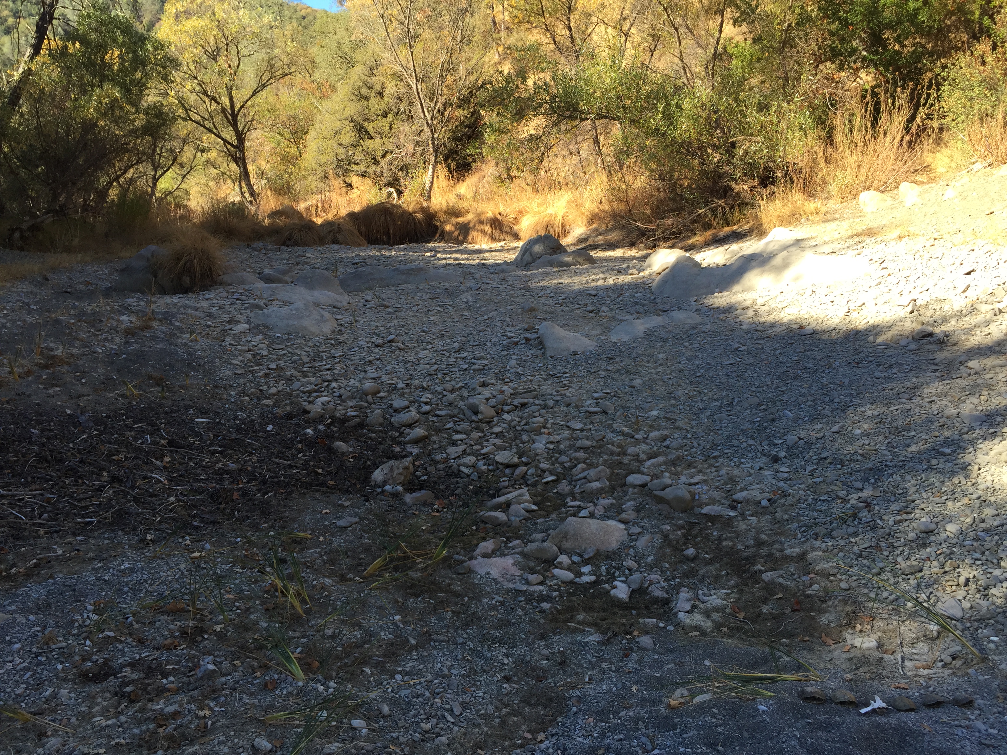
In the Los Cruzeros area we saw zero water. The few pools saw earlier were to the south near China Hole.

This small deer appeared to be recently deceased. There was still velvet on the antlers and a mild smell.

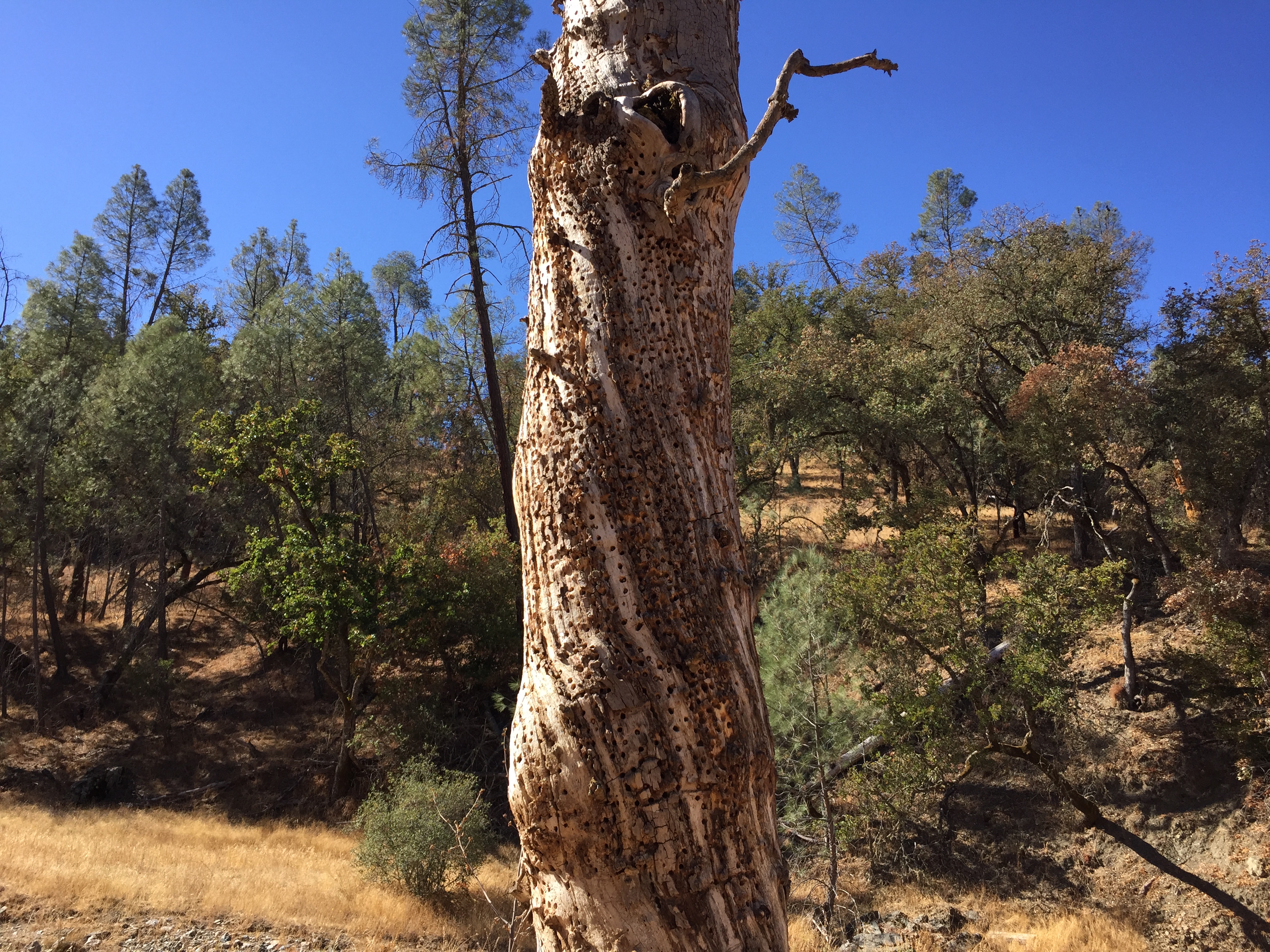
An example of an “acorn storage tree” that I’ve seen many times in Coe. This one had an interesting spiral.
The normally reliable “Willow Ridge Spring” was bone-dry. Last year (also a drought year, but not nearly as severe) I passed through here 2 weeks earlier, on October 5th, and there was a bit of mud at the bottom of the trough (https://alpharoaming.com/2013/10/05/bikepacking-henry-coe-state-park-day-3-mississippi-lake-to-hq-via-poverty-flat/)

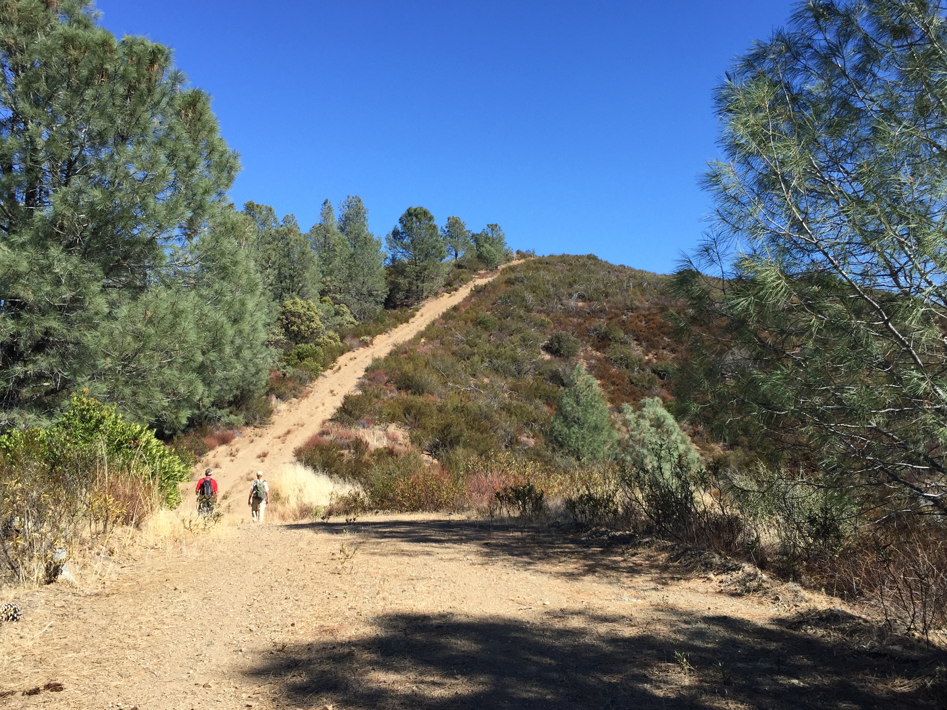
Ah yes, a really annoying hill on Willow Ridge Road, not far from the Spring.
We finally got to the area we had targeted. It’s an “obscure trail”, called “Eagle Pines Trail”. It passes by Eagle Pines Peak. (There are no trail markers and no visible trail for the first part. Get the coords and/or a downloaded map for your electronic toy.)

It’s a steep and high ridge, about 1000 feet above the creek below. We exited the north end of the ridge…then on down to the upper Narrows area, for a loop to where we came from.
Once down in the Narrows, the going was rocky, but relatively flat, once again.
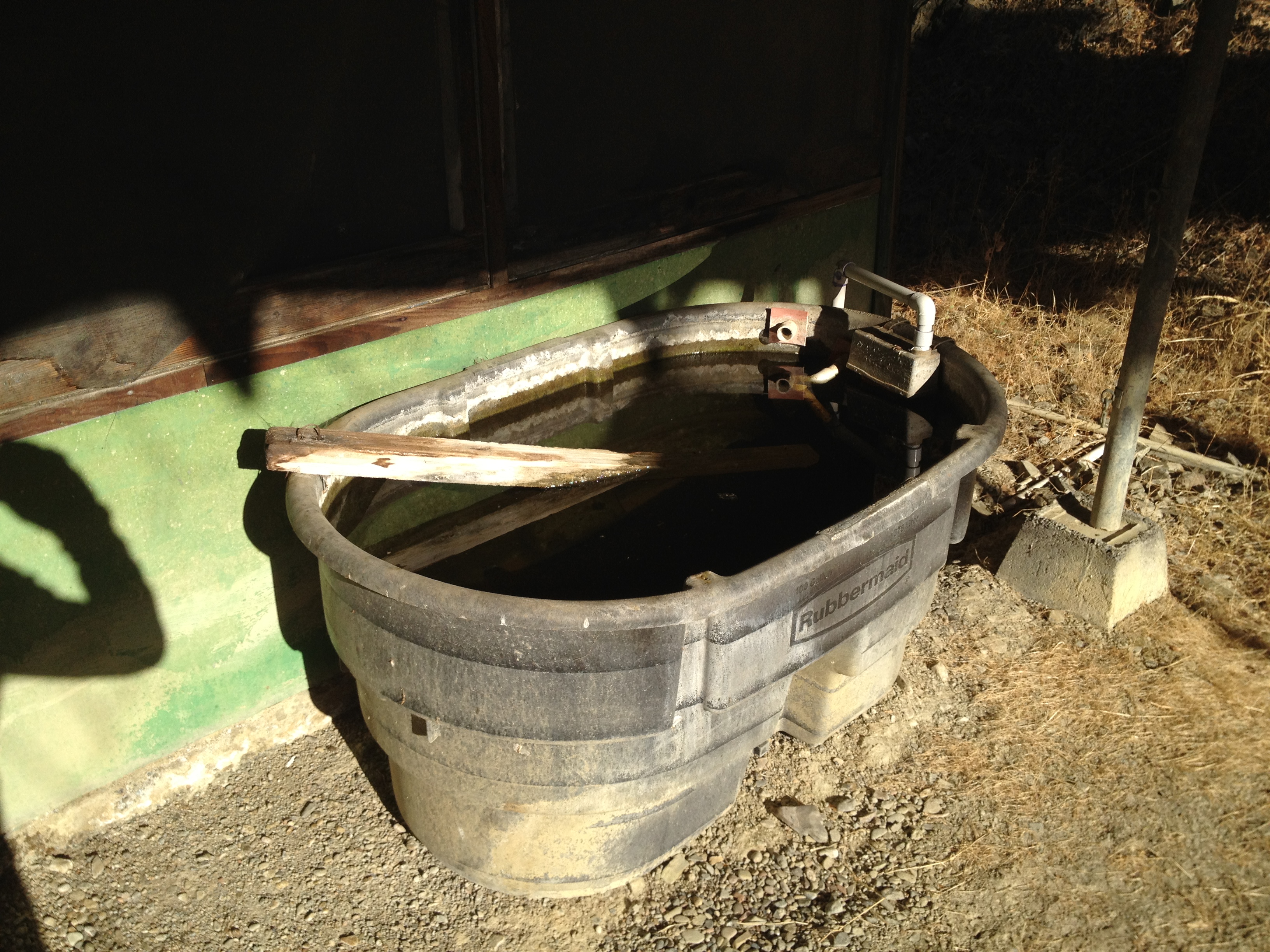
We stopped in at the Arnold Horse Camp, where I bicycle-camped a year ago this month. https://alpharoaming.com/2013/10/05/bikepacking-henry-coe-state-park-day-1/ Last year the spring trough was full but not flowing. This year it was bone dry.
Below is the Arnold Horse Camp trough, early October 2013, in a “dry” year. It’s empty now! Can we have some rain, PLEASE?!?


")


