
The California drought has lessened somewhat this past week in Silicon Valley. We were at zero rain in January and our total rainfall was under 20% of normal for the season.
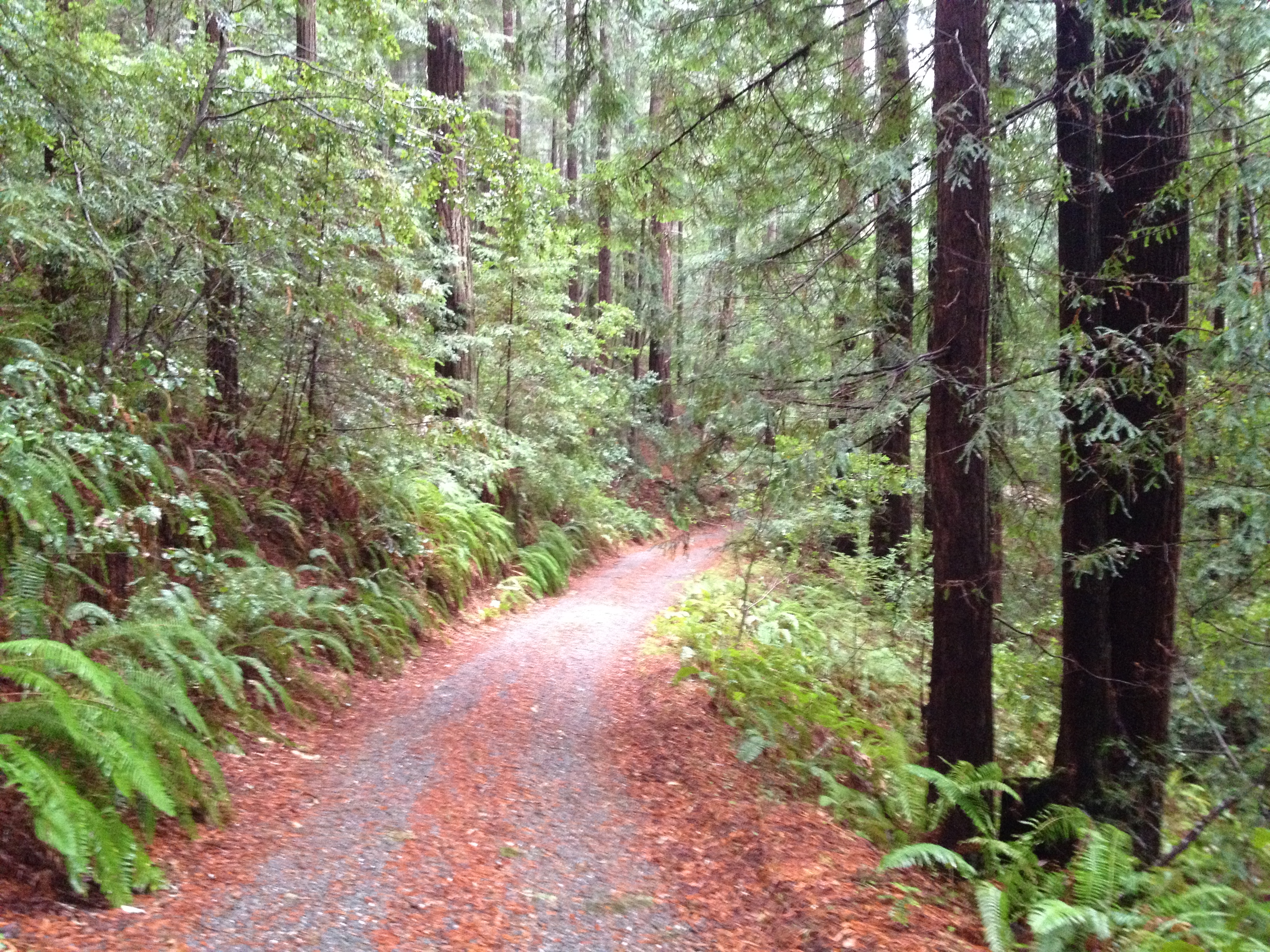
On Groundhog Day, “Phil” saw his shadow, the skies darkened, and 6 weeks of winter commenced. The persistent high pressure pattern finally broke and northern California started getting some very warm rain. This past sunday I went on a “rain hike” in the redwoods of San Mateo county.
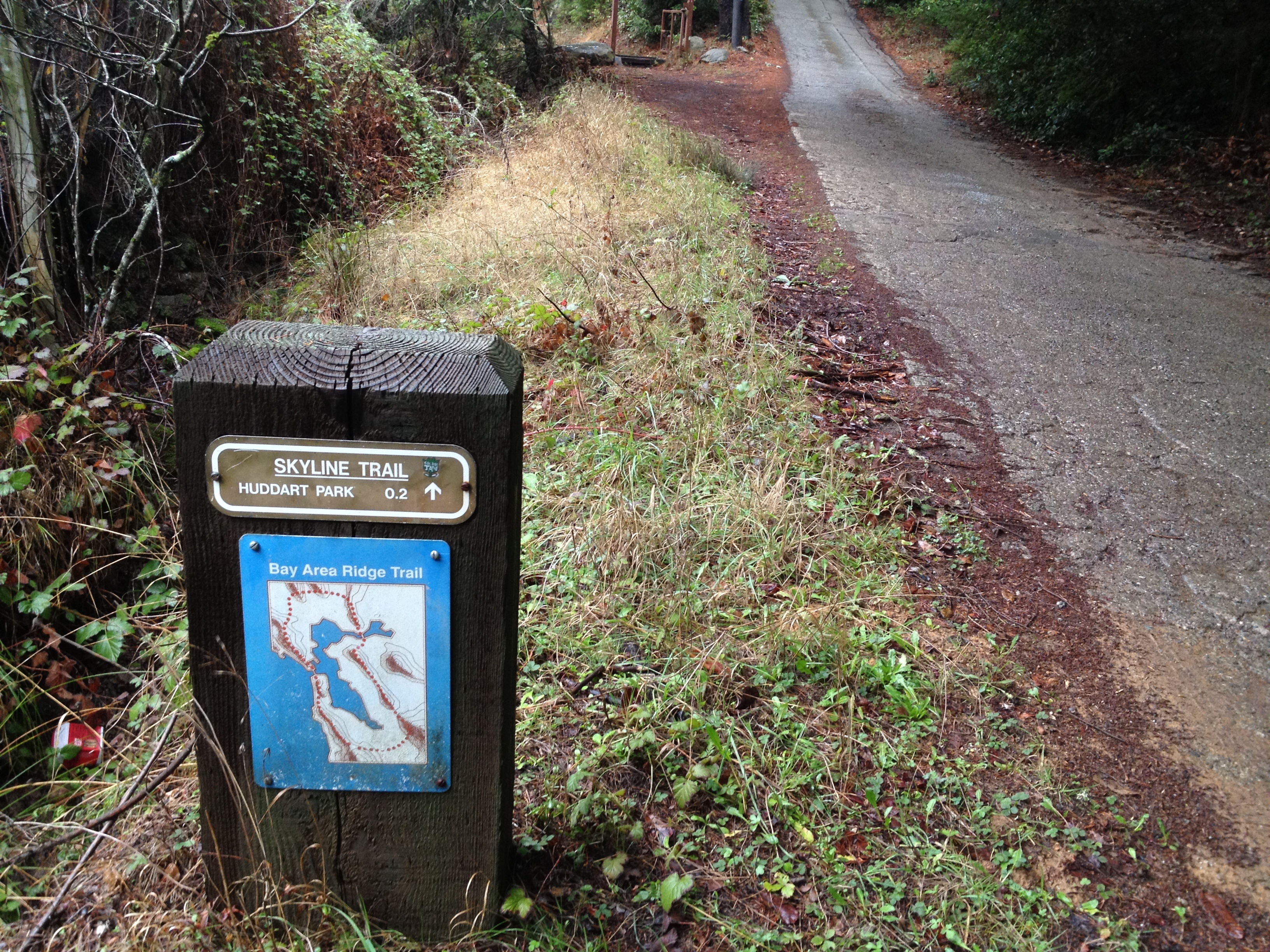
A quick stop enroute for a peek at a section of the “Bay Area Ridge Trail” I had never been to:
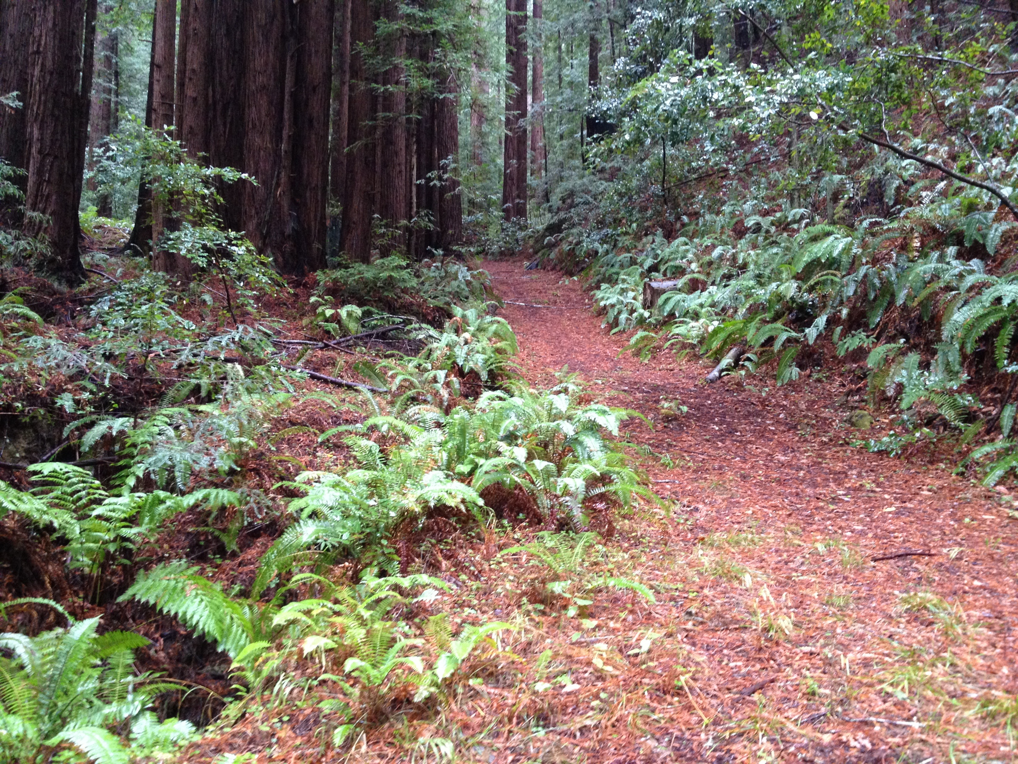
Ah yes! Time for a hike in the rainy, hushed silence of the redwood forest!
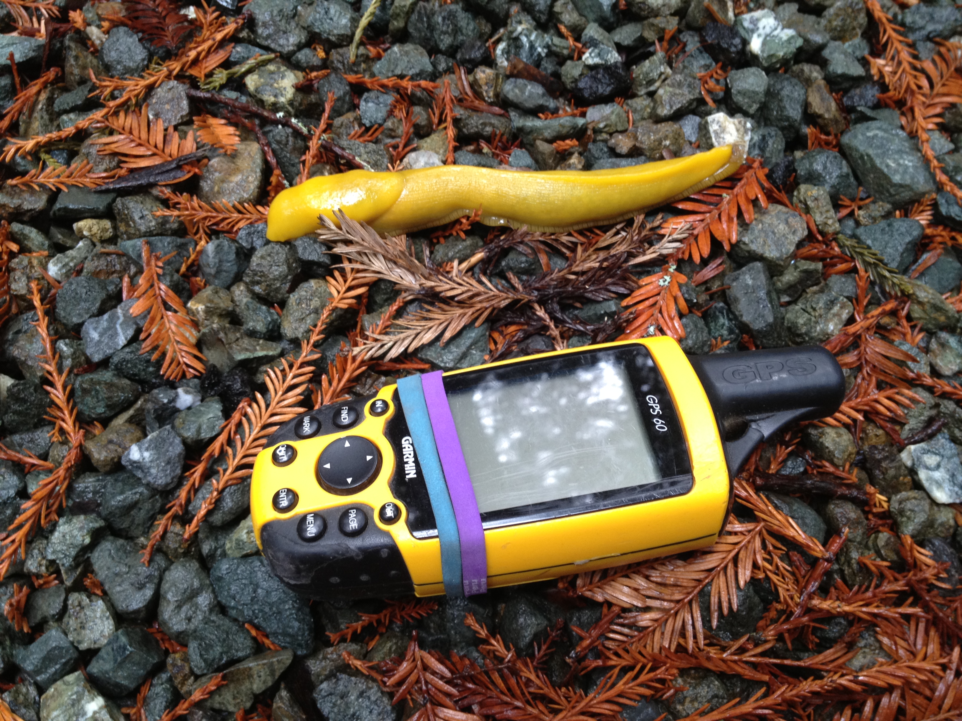
The Banana Slugs welcomed the rain and were “partying like rock stars” (next to my rarely-used antique Garmin, held together with two “broccoli bands”!)
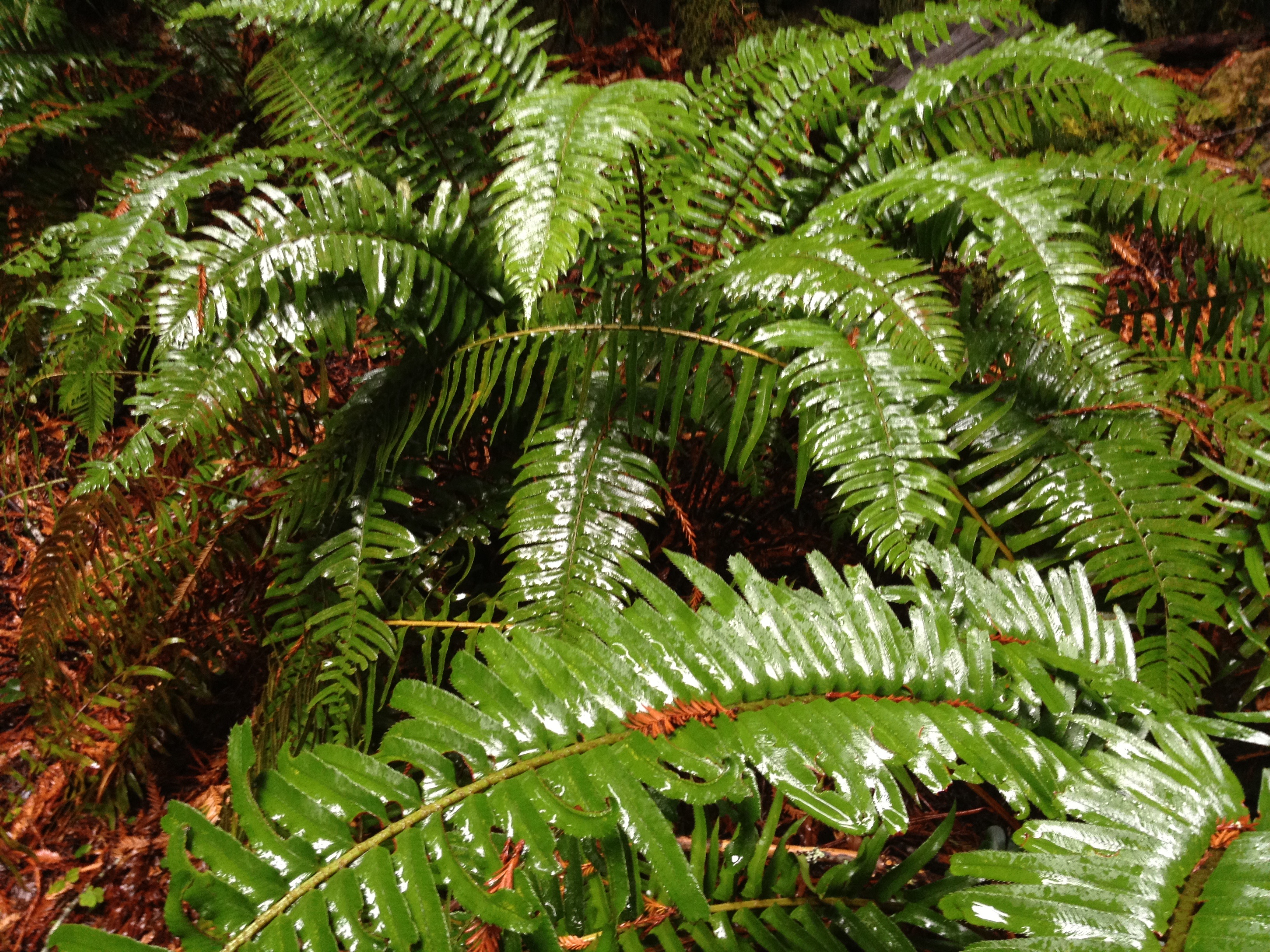
Wet ferns on a rainy day! One of the few plants that can survive in full shade under a redwood canopy
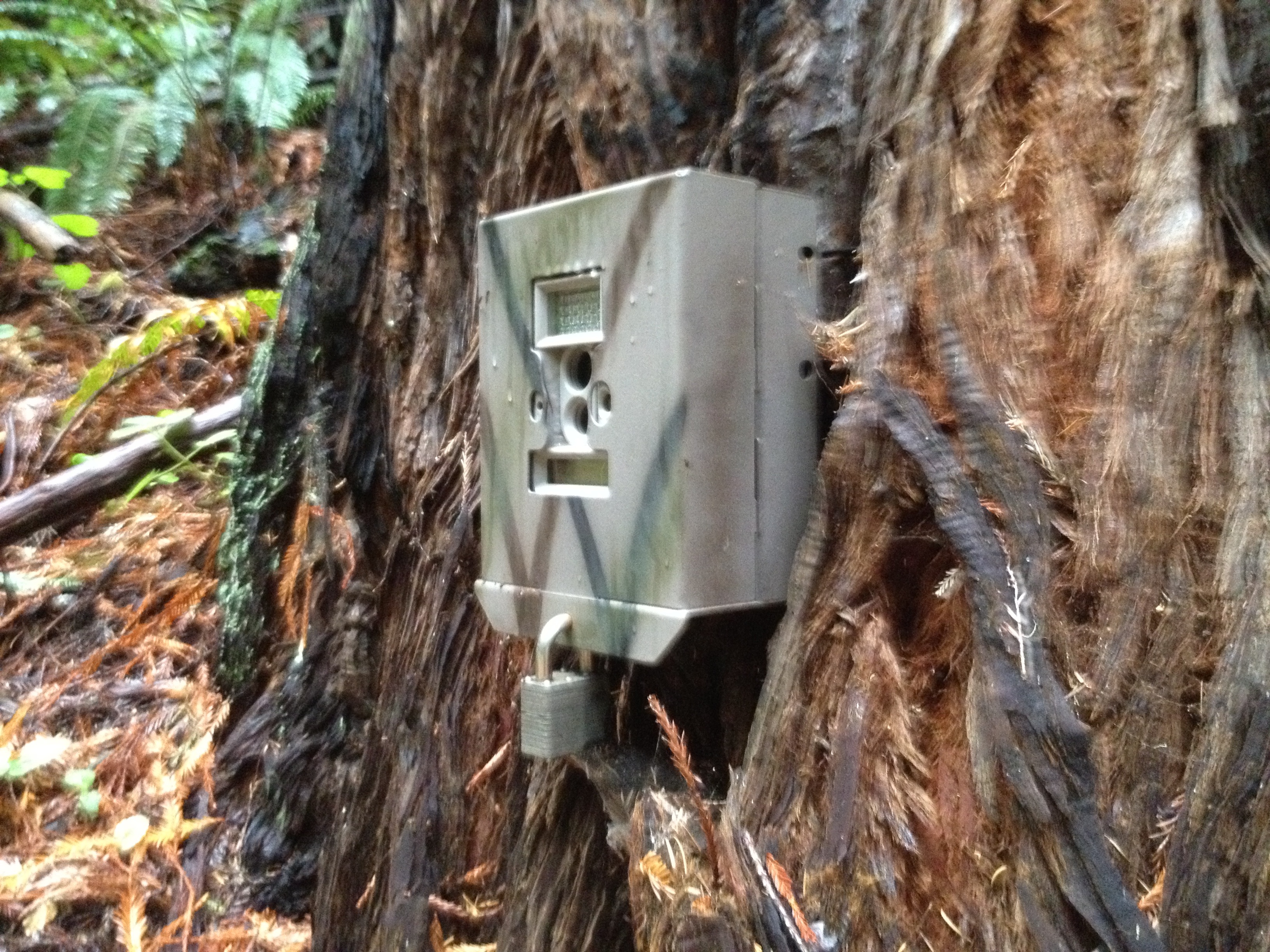
Wonder who is this belongs to? It would be interesting to see what they see, besides me!
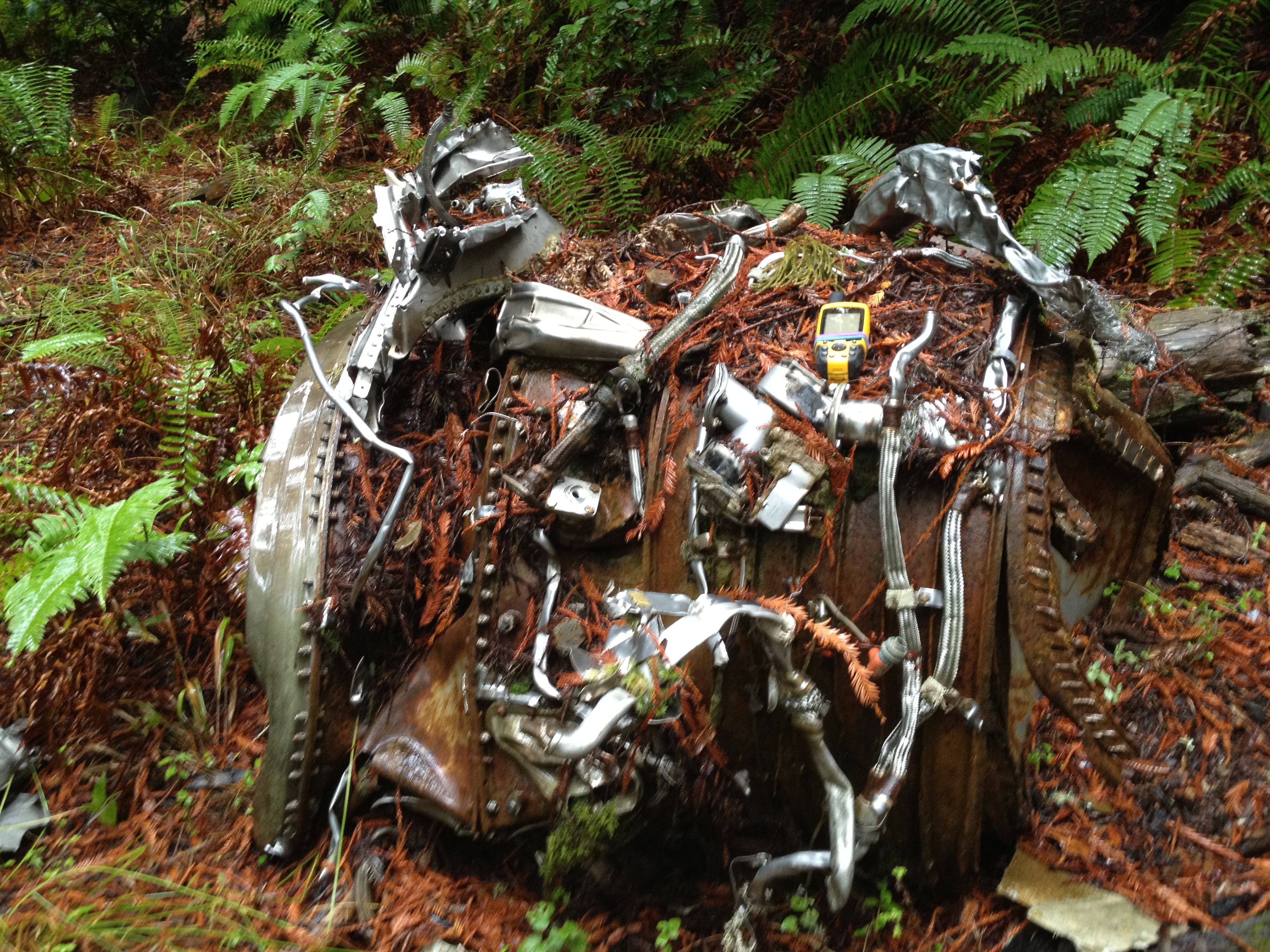
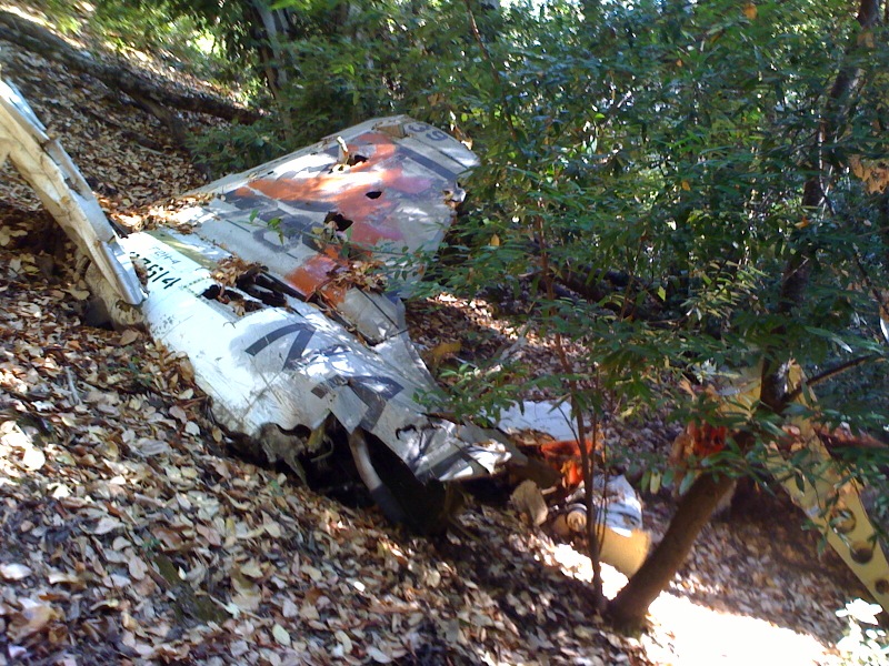
Besides enjoying the special sights and smells of rain in the redwoods, my goal was to visit some airplane wreckage. I was recently told about this by an older guy who grew up nearby. He tells me that it was an F-4 fighter jet in 1967 that crashed, with the pilot successfully ejecting. I could not find anything about it on the internet, but there it was, right where he told me!
Primarily one engine, plus some scraps, which are clearly of military origin
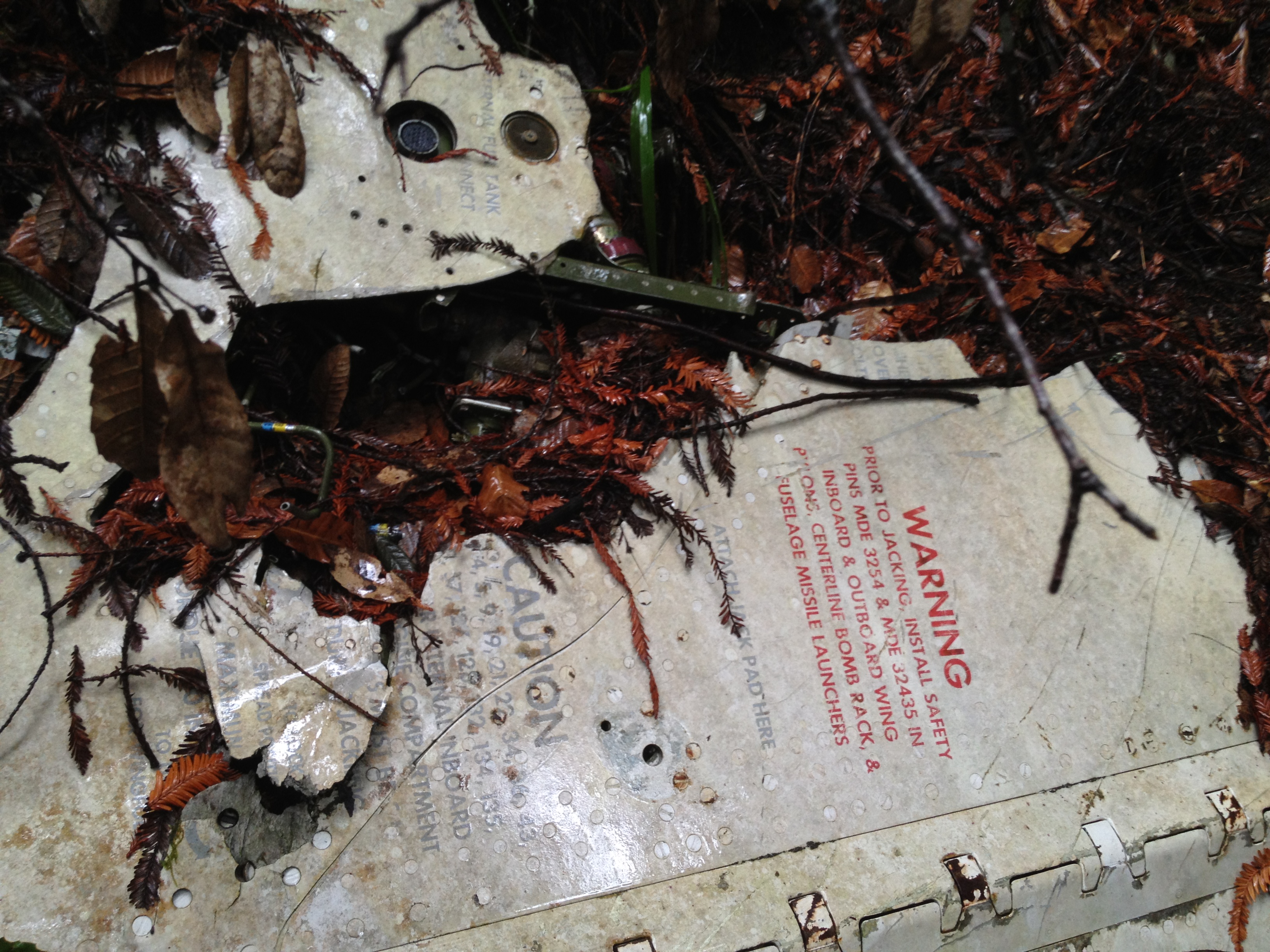
“Missile launchers”! Clearly not Southwest Airlines…
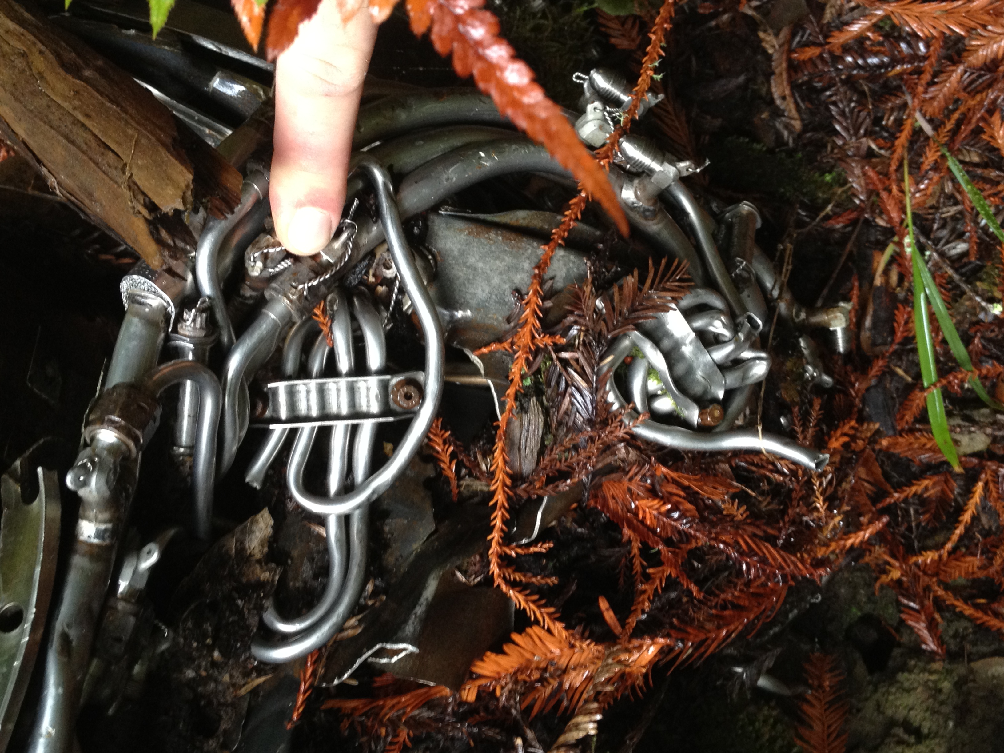
Complicated plumbing!
This is my fourth crash site in the San Francisco / Silicon Valley area. I find crash sites interesting, as well as being a goal during my outings. The first two crash sites I have visited have been documented elsewhere on the internet and were only a few feet off marked trails. The better of the two is written-up here, in a very thorough historical manner http://www.mishalov.com/dc6-crash-kingsmtn-2july05/ A memorial plaque was placed some distance away since that writeup. (…at the turnoff to the “Vista Point” on the official MROSD map http://www.openspace.org/preserves/maps/pr_ecdm.pdf )
Yes, that’s my reflection in the cycling clothing on the left!

The third local crash site has the entire tail section of a late 1950’s Navy jet.
The pilot perished in that crash, and a small plaque has been placed by a “wreckchaser”, as certain hobbyists call themselves. This third site, as well as the one I visited today, were described to me in confidence by folks who don’t want to see souvenir hunters ruin the site. I will keep their confidence and these tw0 sites will remain relatively unknown.
I hope you enjoyed the rainy day hike in the redwoods and a little bit of mysterious local history!


")


Pingback: El Corte Madera OSP: Resolution Trail and Plane Crashes | little grunts
Pingback: Plane Crash Site above Saratoga, CA (F-2H Banshee, Lt James Wyley, 1959) | AlphaRoaming
Pingback: Flight 802 Memorial Site (Bishop, CA) | AlphaRoaming
Pingback: Half Moon Bay by bike again | AlphaRoaming