
A very brief post to help me remember what RAIN and MUD looks like!
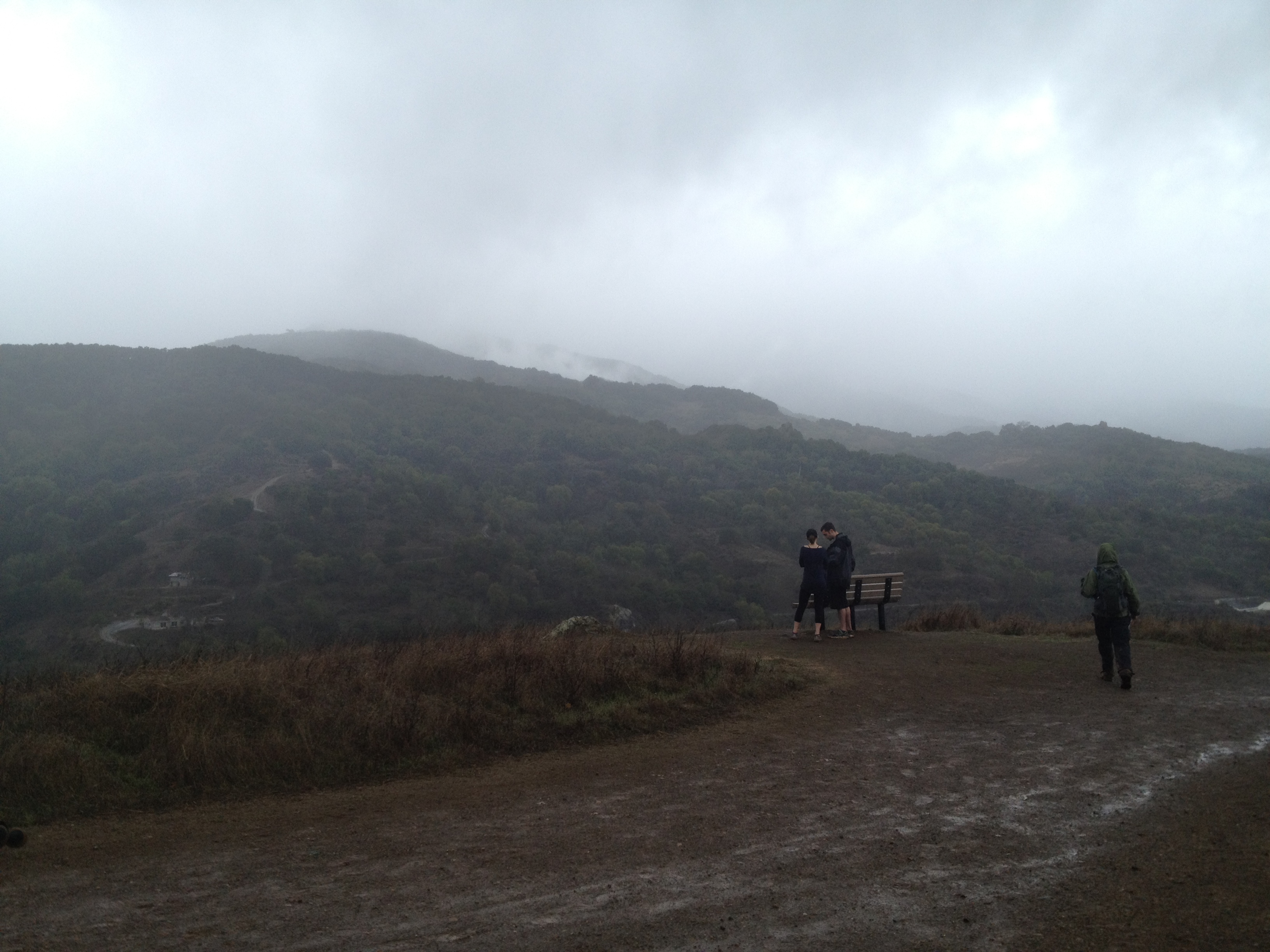
There’s hope in those gray skies. Let’s go out and play!
Back on February 9, 2014, in Silicon Valley we received our third significant rain since last summer. The first was in September and the second was in December, IIRC. We’re still around 20% of normal in the driest year on record. Time for a hike in San Jose’s “Almaden Quicksilver County Park”, which was a large mercury mining area in the decades following the discovery of gold in California. (Mercury is used to grab, or “amalgamate”, bits of gold from crushed ore.)
Yes, we did see one or two California Poppies in early february…a bit early!

A happy newt playing in the rain!

The above photo is behind the Guadalupe reservoir dam (It should be full!), located here:
Look carefully between the tree branches, near the far water line. There’s a white car, on it’s side, that is now exposed in the low water.

The southeastern end of the park was where the main mine was, as well as temporary towns and a cemetery. In the northwest end of the park, there’s very little in the way of ruins. A plaque marking the Senador Mine.

And remnants of a hoist or ore shaft…

That’s it! Check back here occasionally if you too need to be reminded what rain looks like!
Our ~10 mile track: http://www.everytrail.com/view_trip.php?trip_id=2661647
More information on Almaden Quicksilver County Park:
General Park info: http://www.sccgov.org/sites/parks/parkfinder/Pages/AlmadenPark.aspx
Detailed Park map: http://www.sccgov.org/sites/parks/parkfinder/Documents/AQGuideMap.pdf


")


