
 There’s an interesting place, uphill from Soquel, CA, bordering the Forest of Nisene Marks State Park. It’s the “Land of Medicine Buddha“! They welcome quiet and respectful visitors to wander their interesting property. You can also use it for a “secret backdoor” into Nisene Marks State Park.
They’re a Tibetan Buddhist retreat and educational center. Their website explains it better than I will attempt to do: http://dharma.landofmedicinebuddha.org/
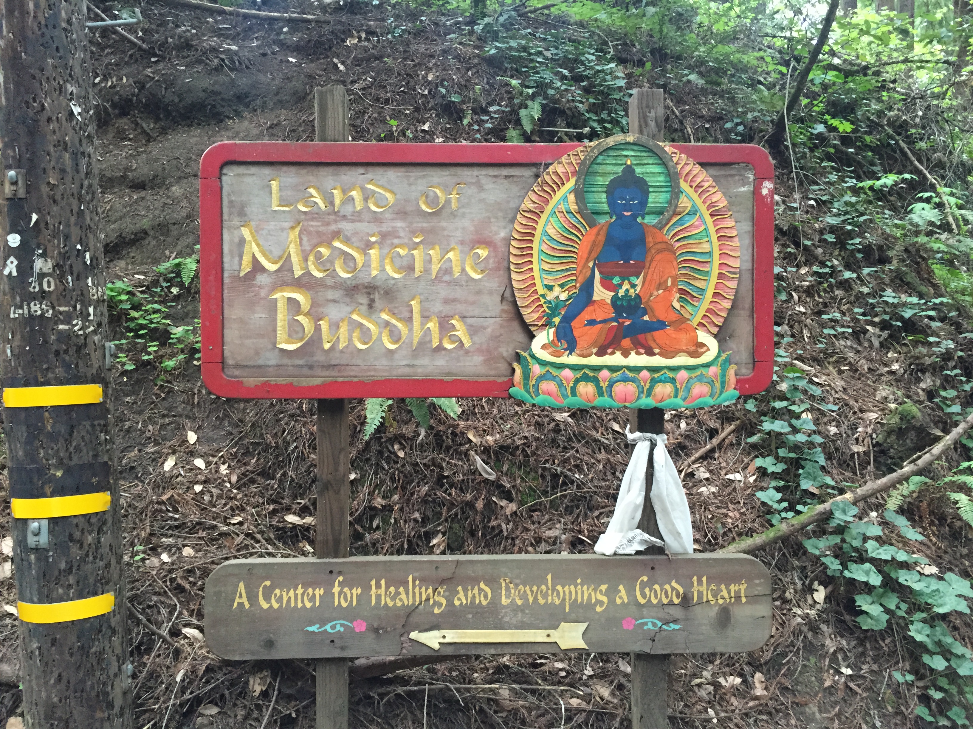
Set your GPS for “5800 Prescott Rd, Soquel, CA” and you’ll eventually get to a small bridge and this small sign:
I highly recommend parking just before the bridge, where there is room for about 6 cars. If that’s full, there’s scattered roadside parking a few hundred feet back. (There isn’t really any reason to take your car into the property. The signs and navigation are a bit tricky and I’m encouraging visitors to keep the impact low and arrive on foot!)


Wander around the main buildings a bit and “explore”.
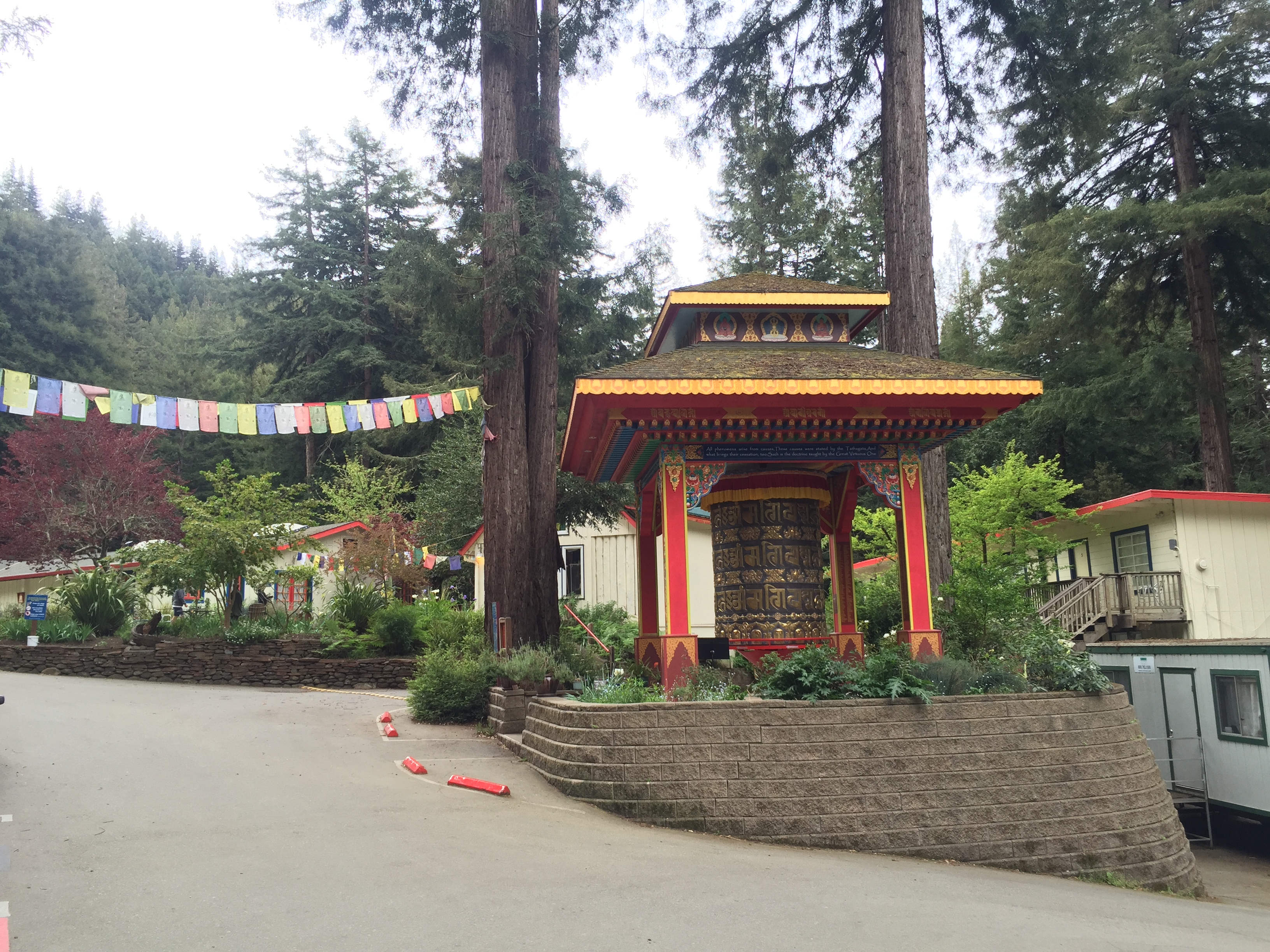
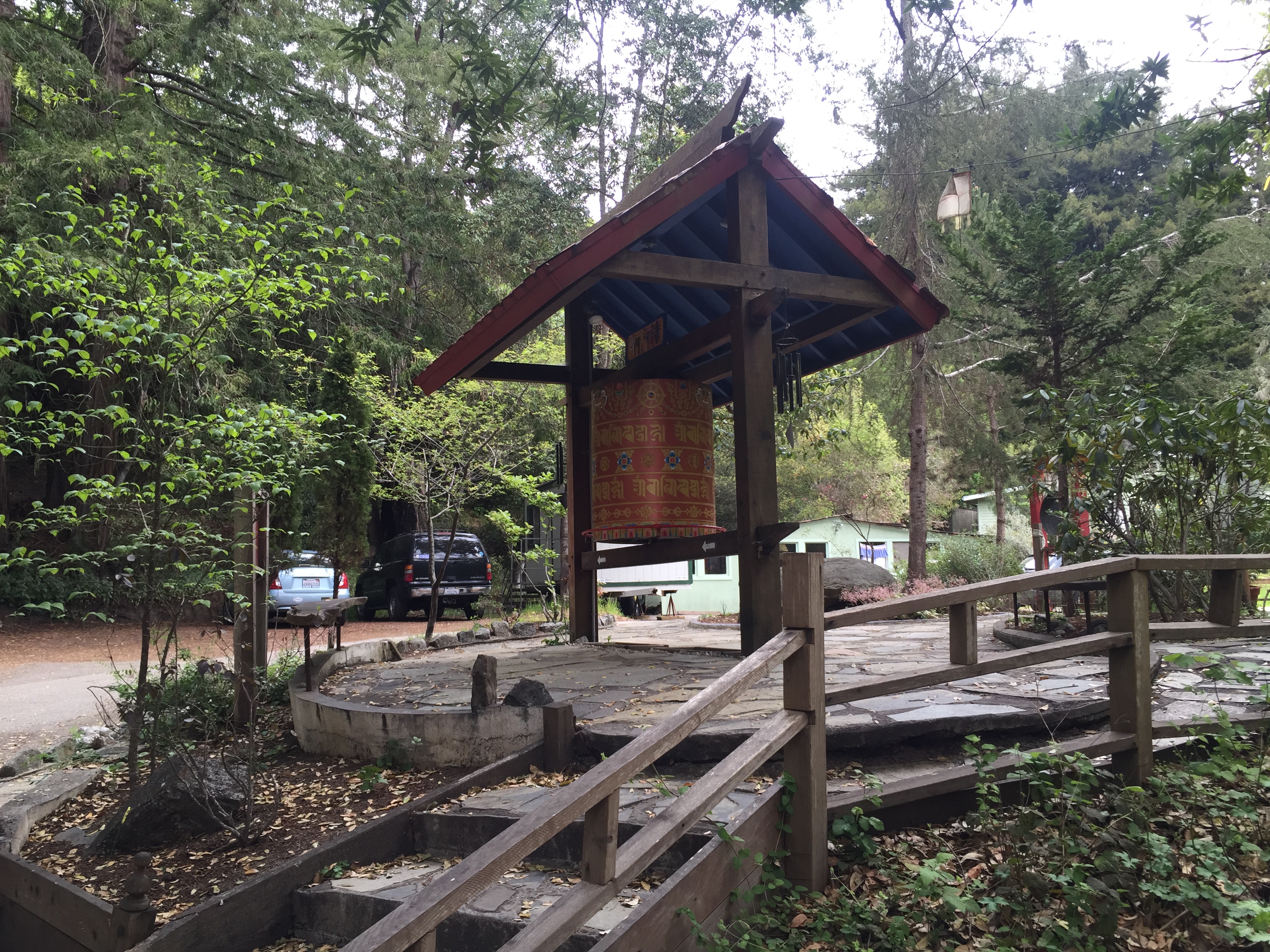
Turn the Prayer Wheel for peace and happiness, in the properly marked direction, of course!


There are a some signs, as well as a few roughly-drawn photocopied trail maps available. If you have an electronic toy that can download “real” maps, like Open Street Maps, it will be much more helpful…particularly if you want to wander further into the State Park.
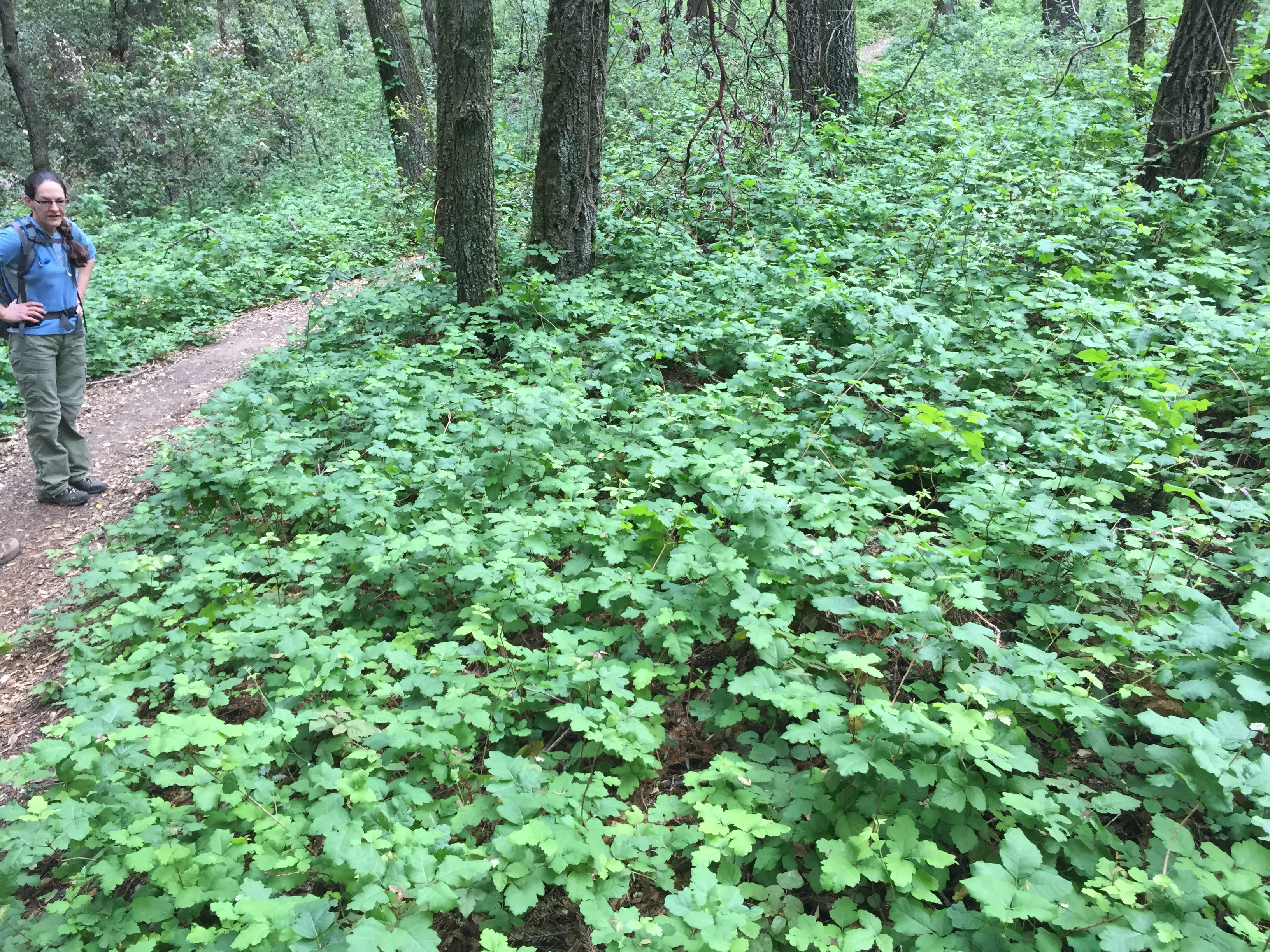
Poison Oak? Why yes! It does seem to be thriving during this severe drought. Too bad it isn’t a cash crop, like almonds or rice, that can be sold to other states and countries…
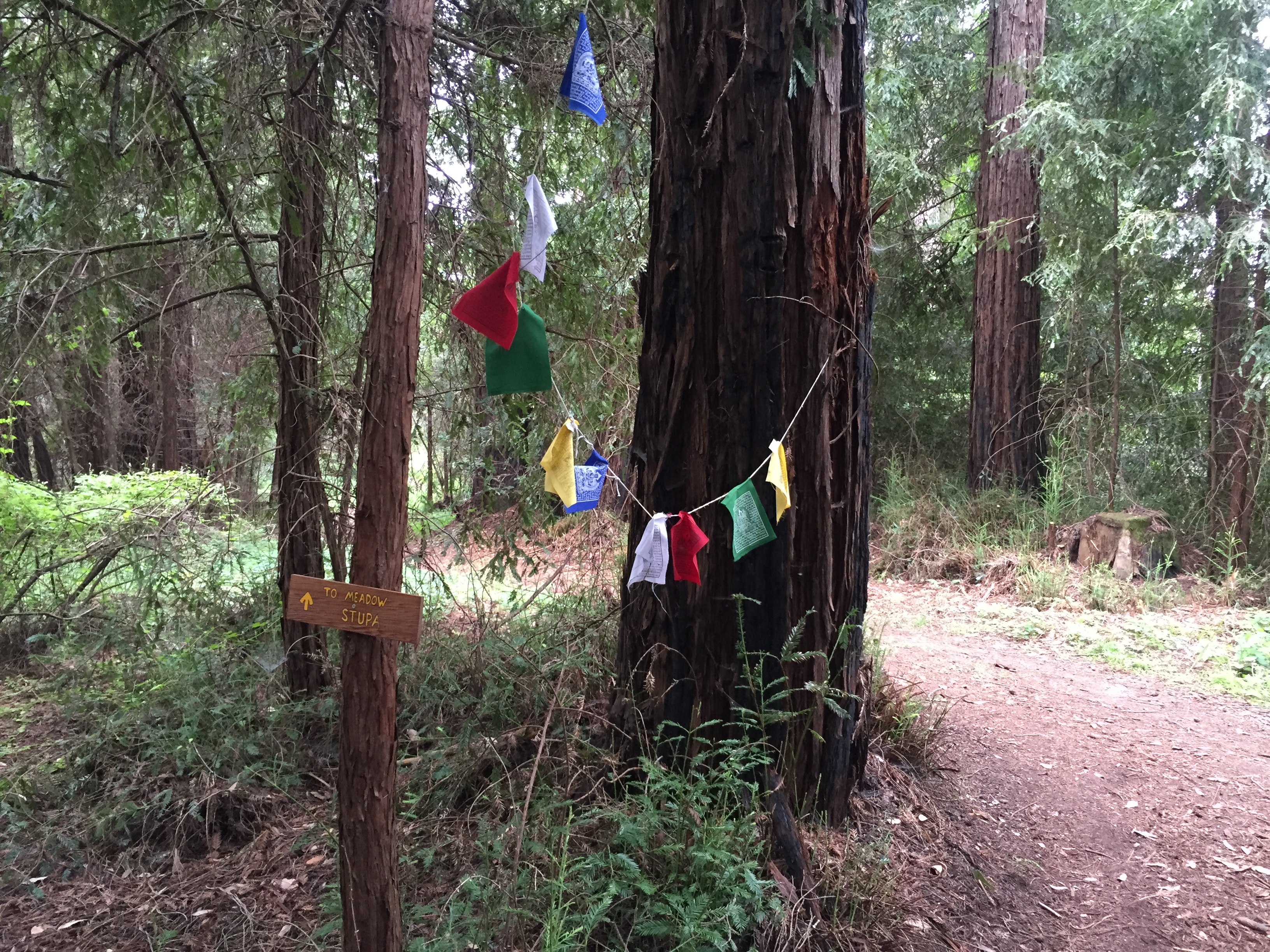
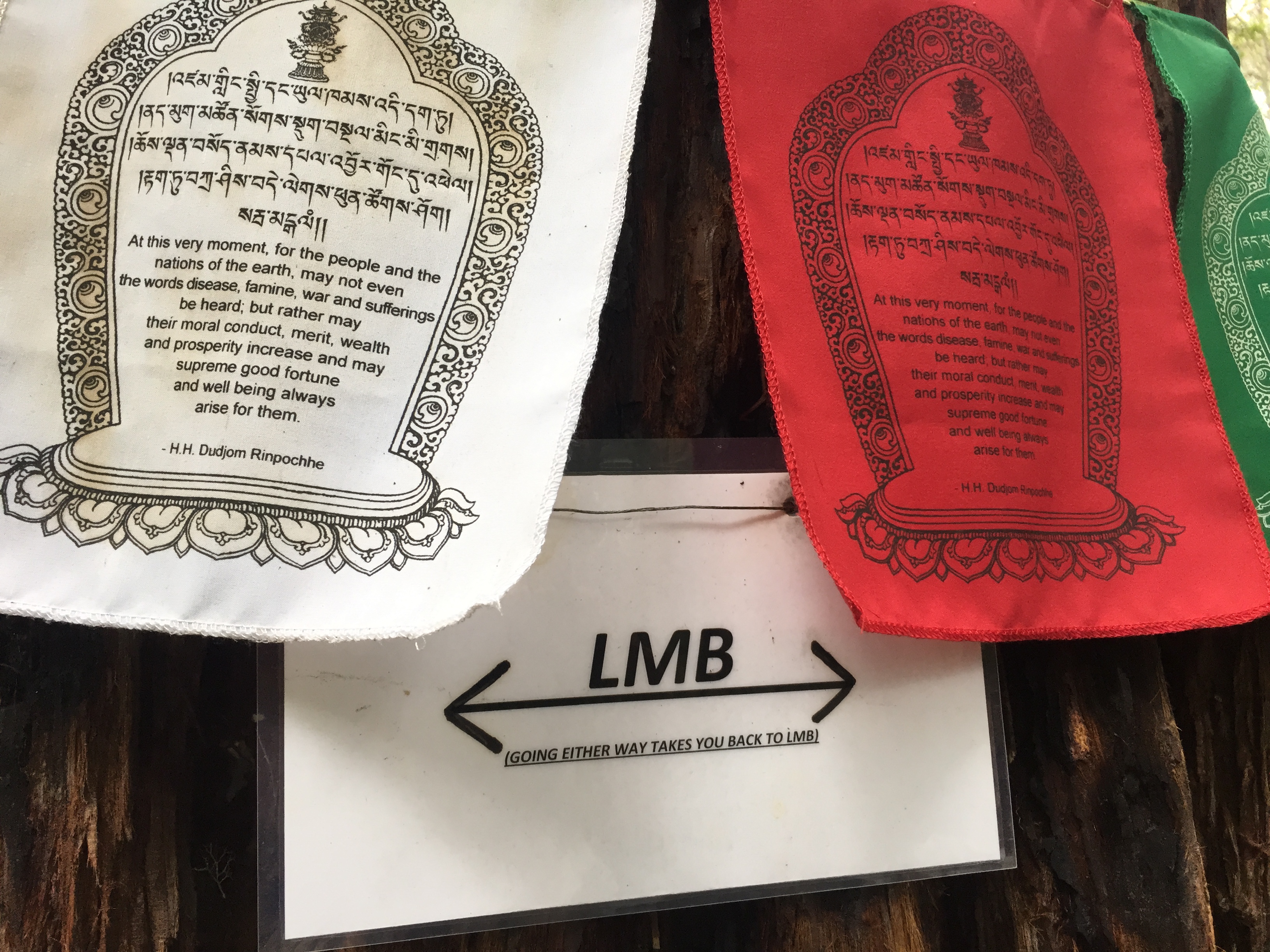
A sign from a circular trail in the upper LMB property:
…and one more shot: a typical trail in the Forest of Nisene Marks: old redwood stumps and newer second growth redwoods.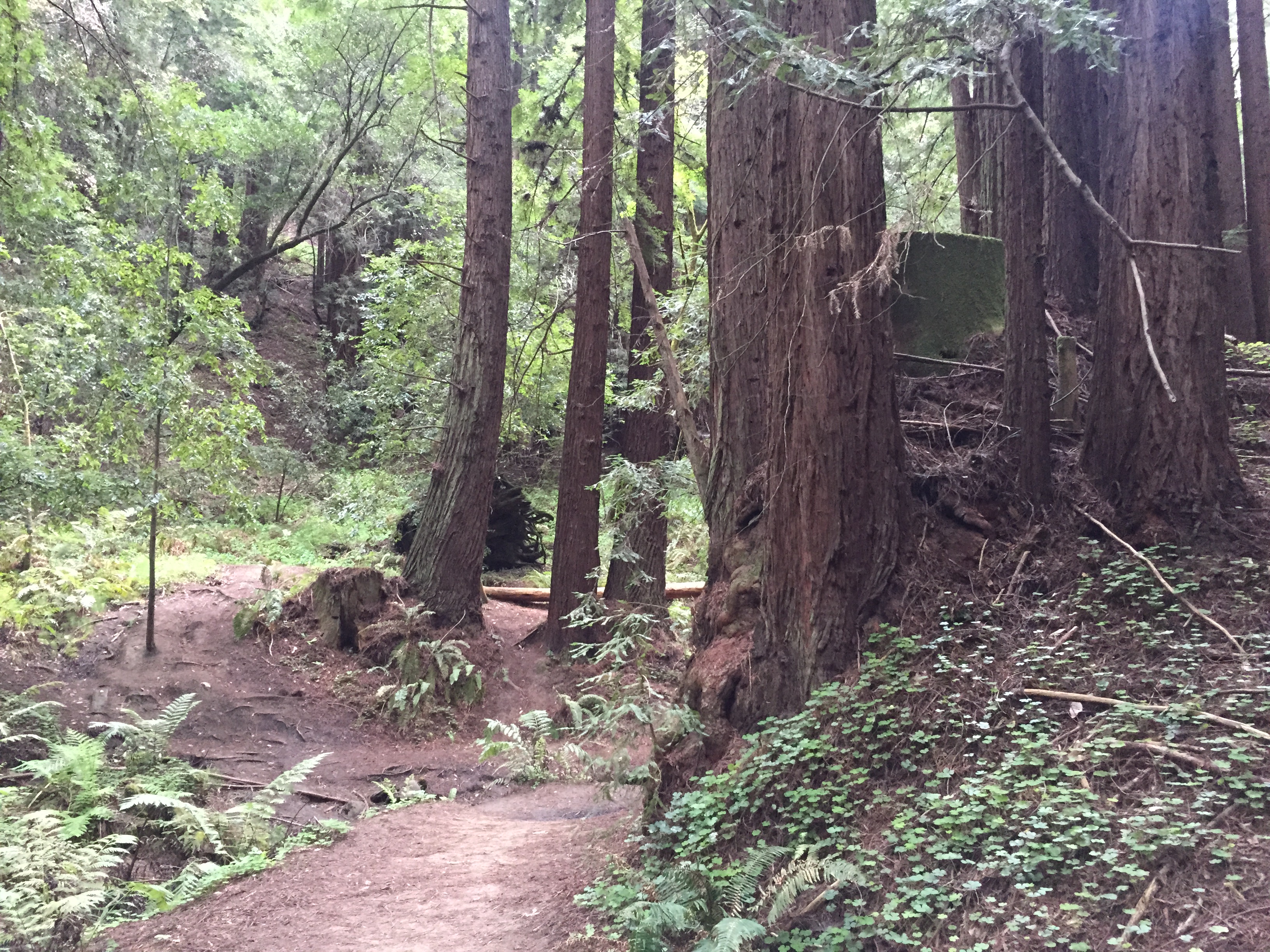
Getting there: Waze on my iPhone easily brought me the few miles uphill from Soquel, CA. Drive slowly, as the roads are a tight squeeze if someone is coming the other way.
Here is a map of the Forest of Nisene Marks (last page) http://www.parks.ca.gov/pages/666/files/TheForestNiseneMarksWebBroch2012.pdf The land of Medicine Buddha is located just above the “Legend” on that map. To see the minor trails, connecting between the Nisene’s West Ridge trail and the Land of Medicine Buddha, please see, starting at the lower-center, near where it says “Yurt Village”: http://www.openstreetmap.org/#map=15/37.0256/-121.9273


")


