
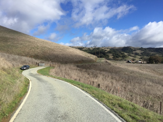
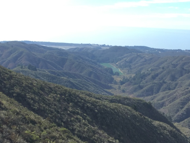
My car on Jamieson Road. Kickham Ranch is in the distance.
The Kickham Ranch office at Henry Coe State Park, a few miles SE of Hunting Hollow, gets very few visitors. I was there twice before, without really knowing if I was supposed to be there or not. I decided to visit again on a muddy and short bicycle loop into the park.
The signs have changed a bit, but it appears to be OK to use, though not officially publicized or encouraged as an entrance. http://coepark.net/pineridgeassociation/planning-your-visit/visitor-centers-and-park-entrances There are no discouraging signs, but there is one gate to hop over if you want to connect to the Hunting Hollow Trail.
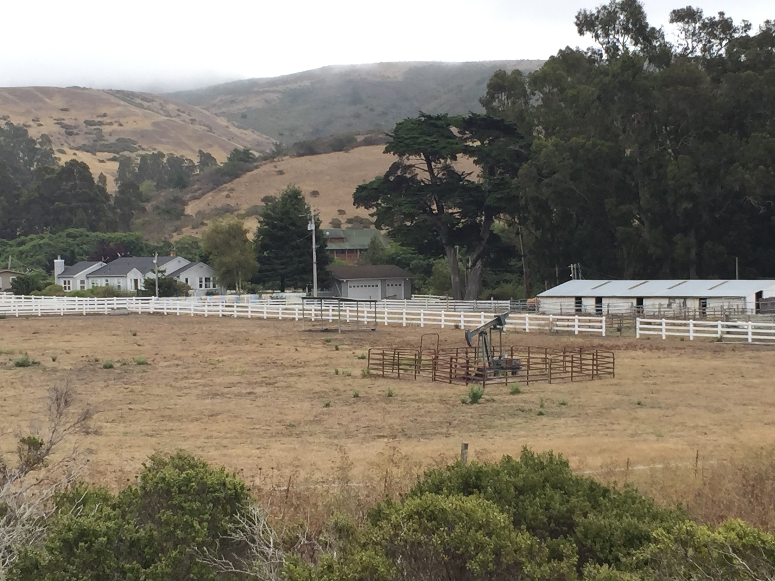
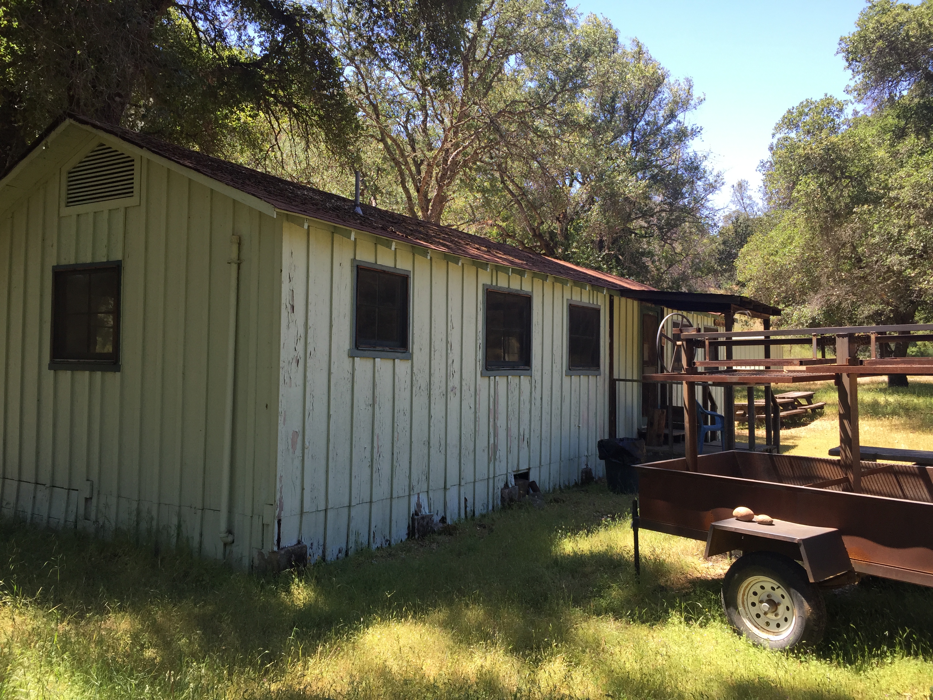
I parked my car on Jamieson Road, a bit before Kickham Ranch, and unloaded the mountain bike. A State Park truck passed me and waved before I headed out. Kickham Ranch is actively used by park staff, and I think I’ve heard that one Ranger may live there.
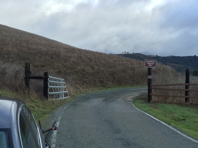
Room for several cars, outside the white lines!
I stopped in to say hello to the bear, and headed back out.
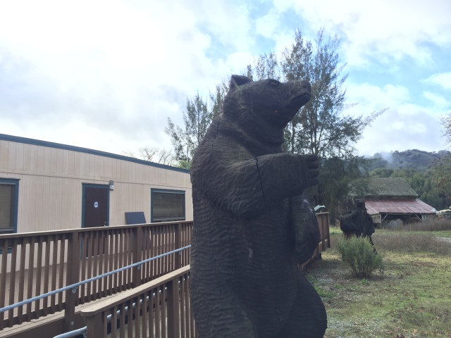
Kickham Ranch. “Do not feed the bears!”
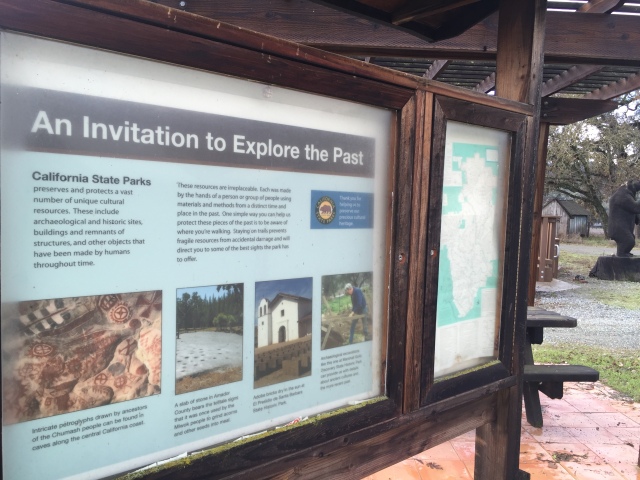
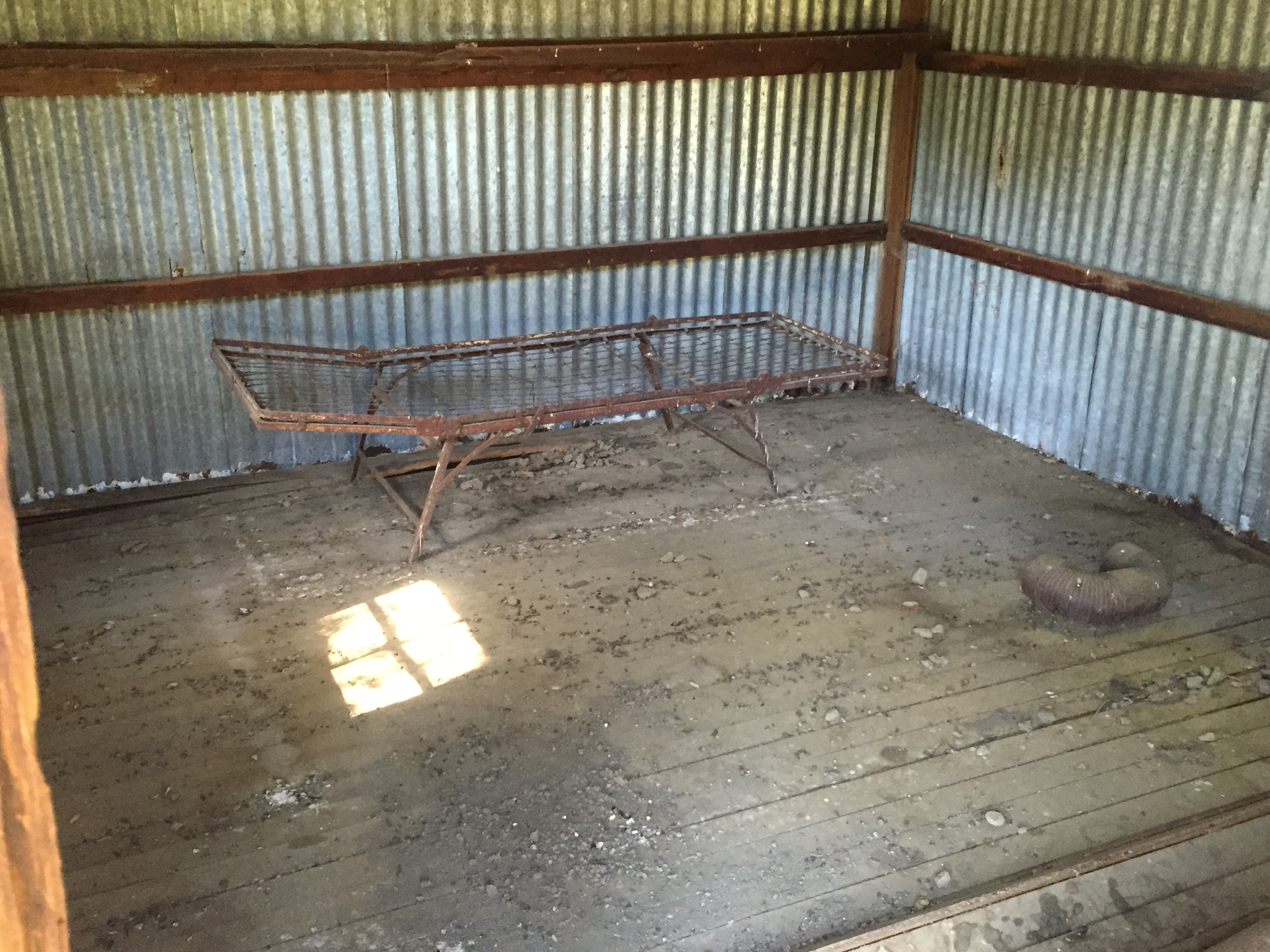
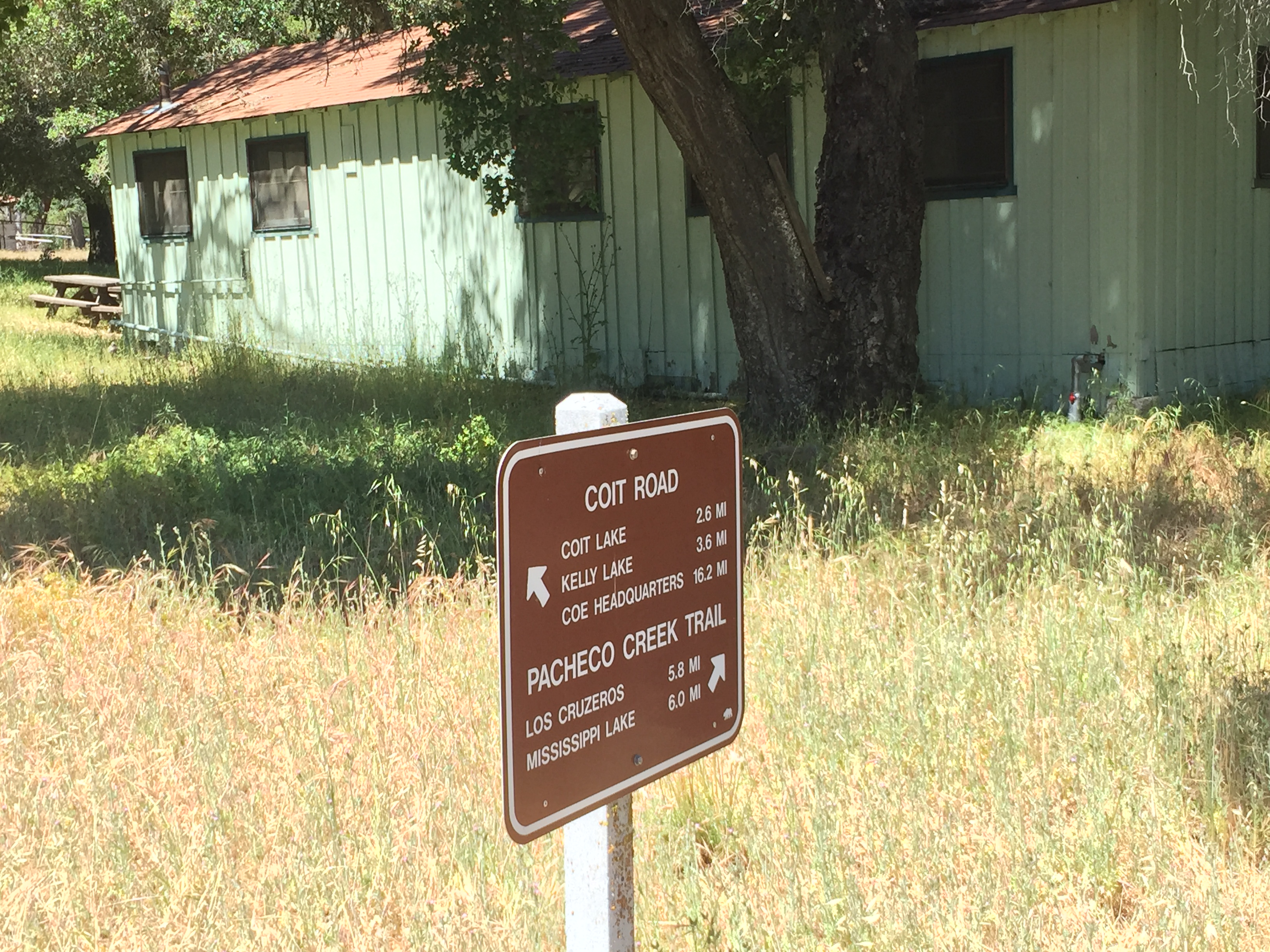
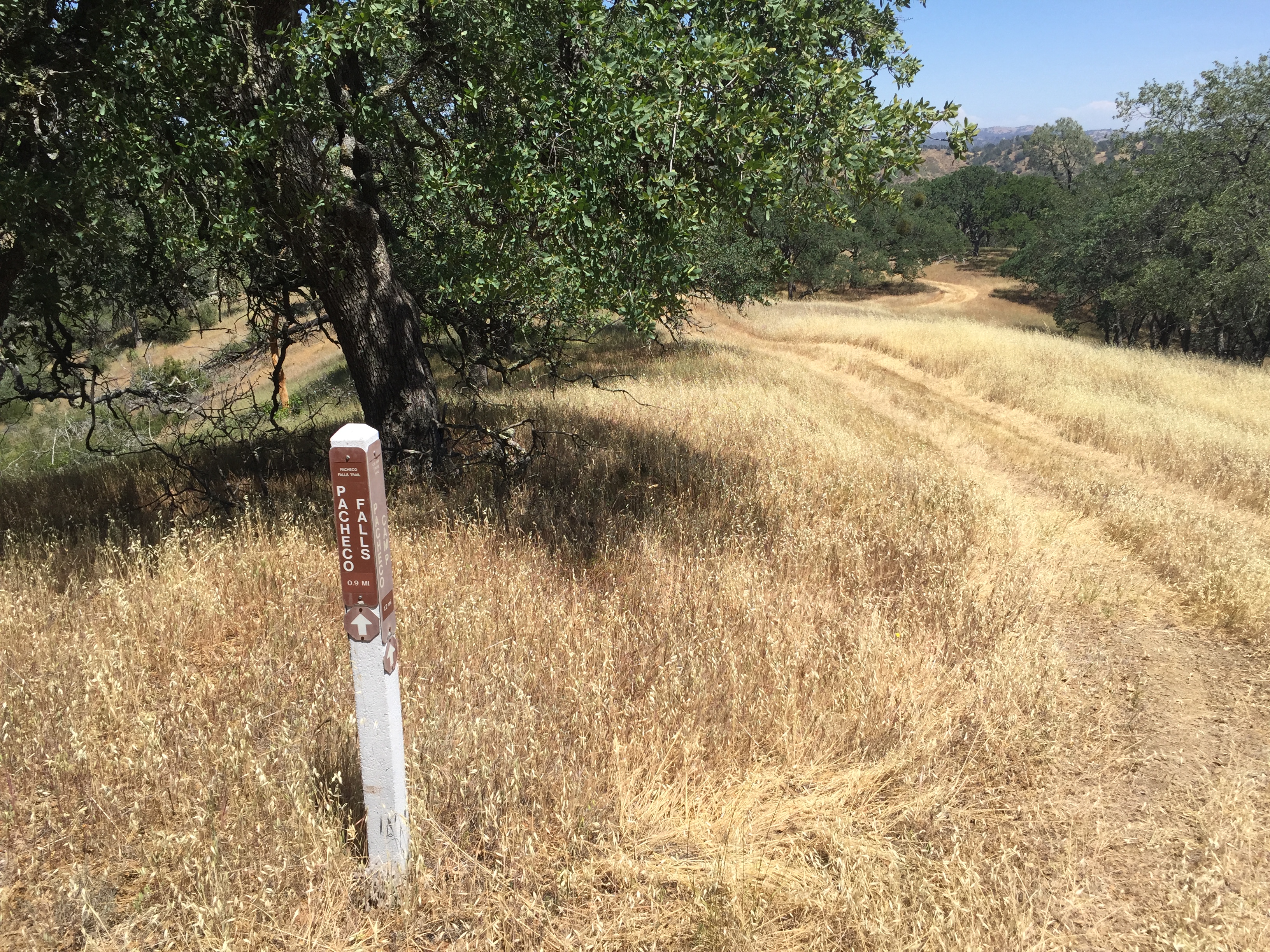
Sign board at Kickham Ranch
Shortly after passing the Canada de Los Osos pond, the road got a bit steeper and I encountered some VERY sticky mud. I was later told it had been recently graded, which ruined the normal hard pack surface.

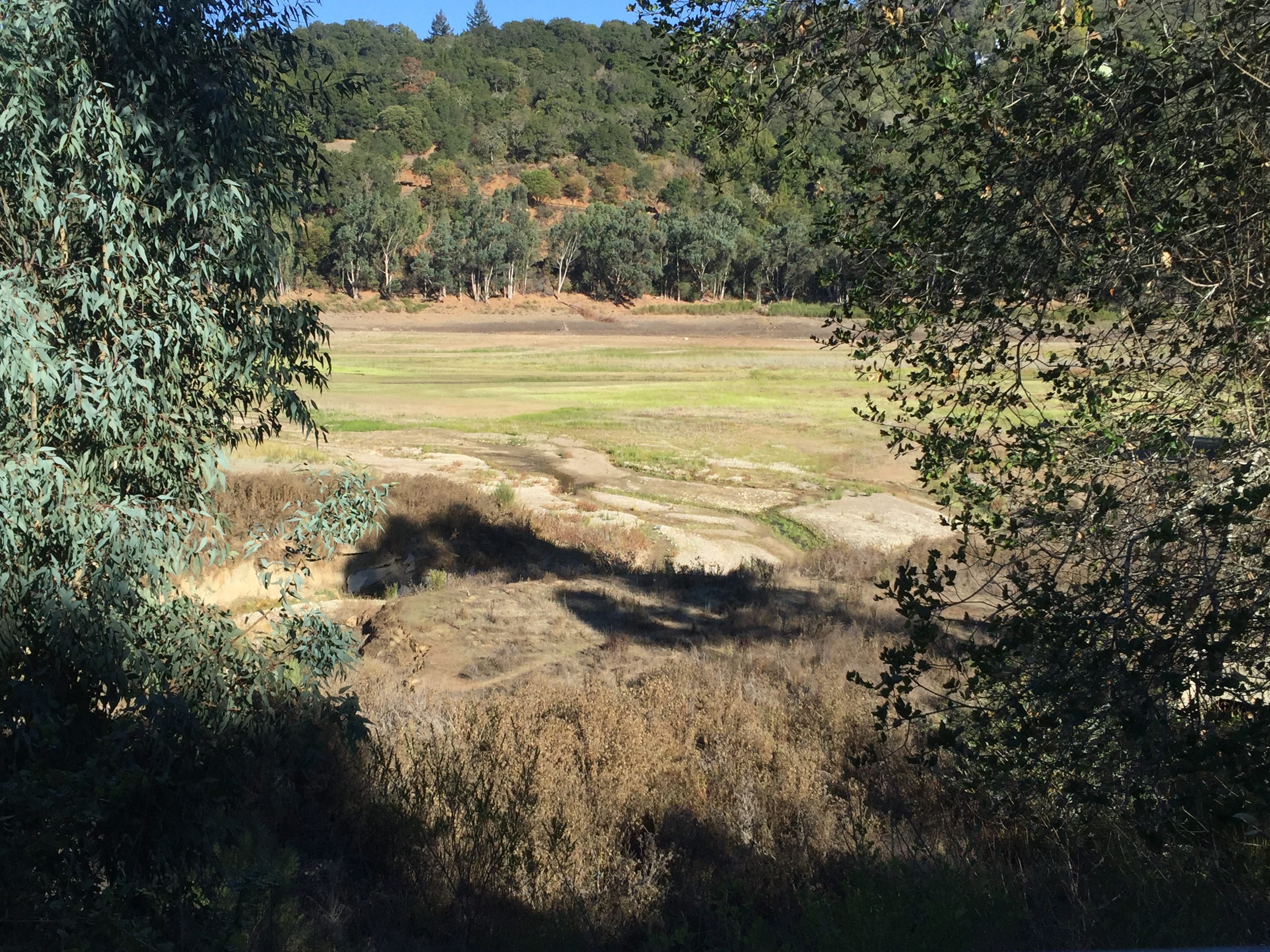
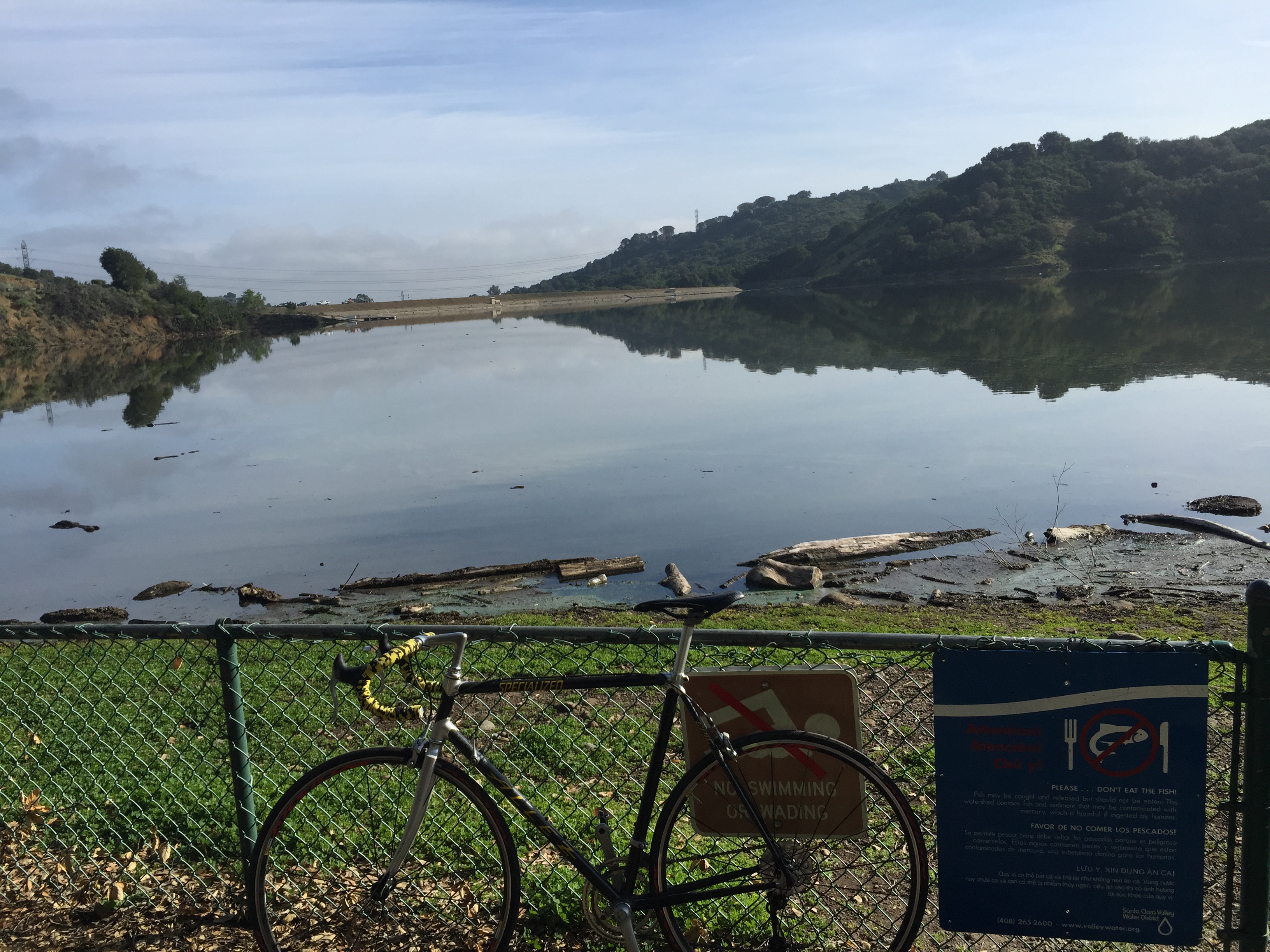
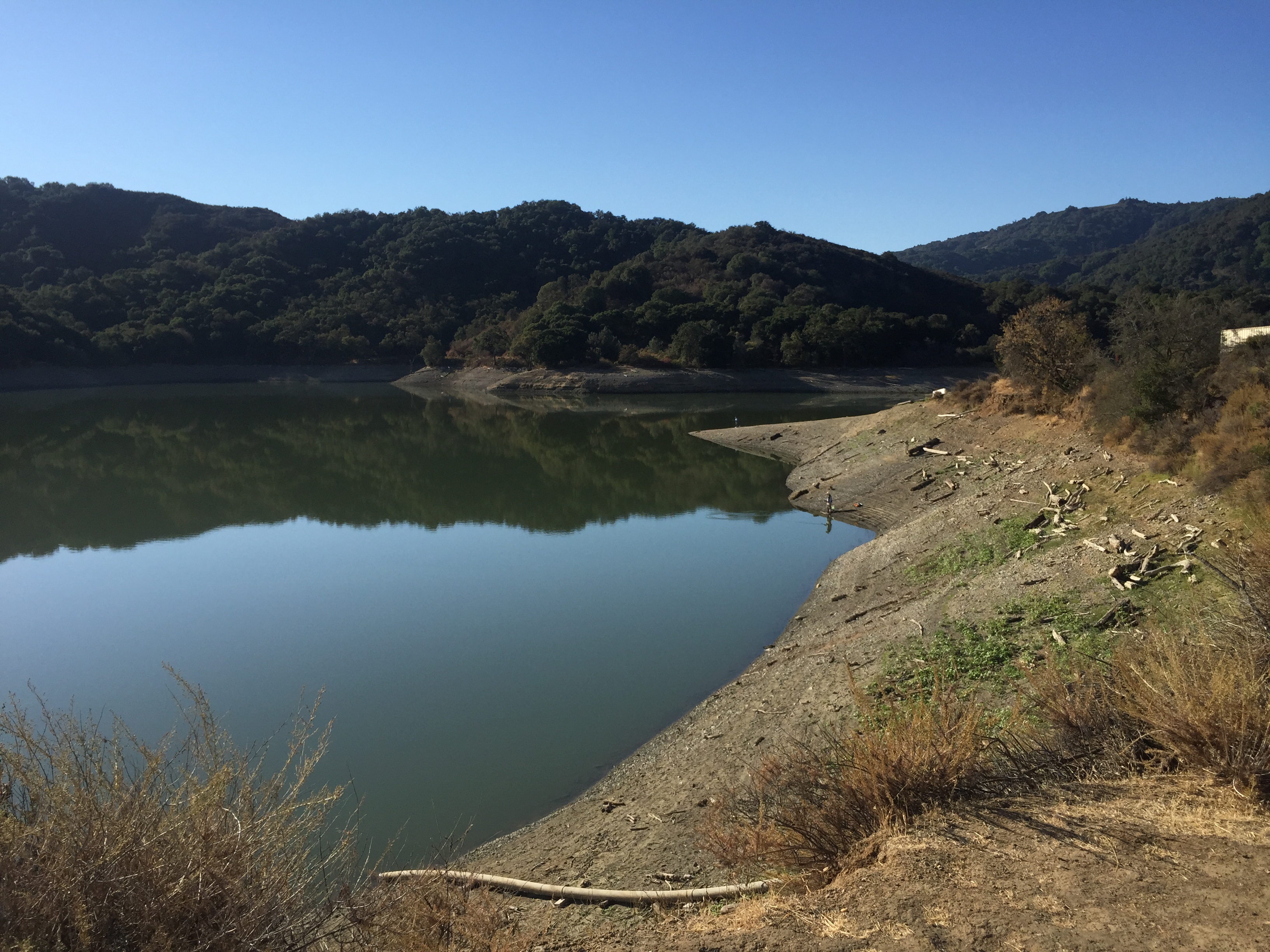
Low water level. Active with water birds, including a white egret.

The wheels and derailleur totally locked-up with over 20 pounds of mud and grass
I struggled to push or carry the bike uphill for a few hundred feet, while my feet slid in the opposite direction. Finally I got to the top of the hill and everything got better…slowly…as I poked at the mud with a stick and used some water from the closest trough.

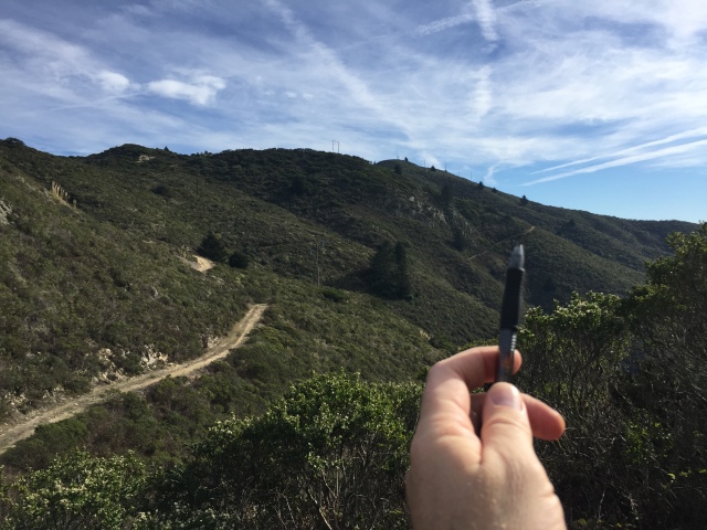
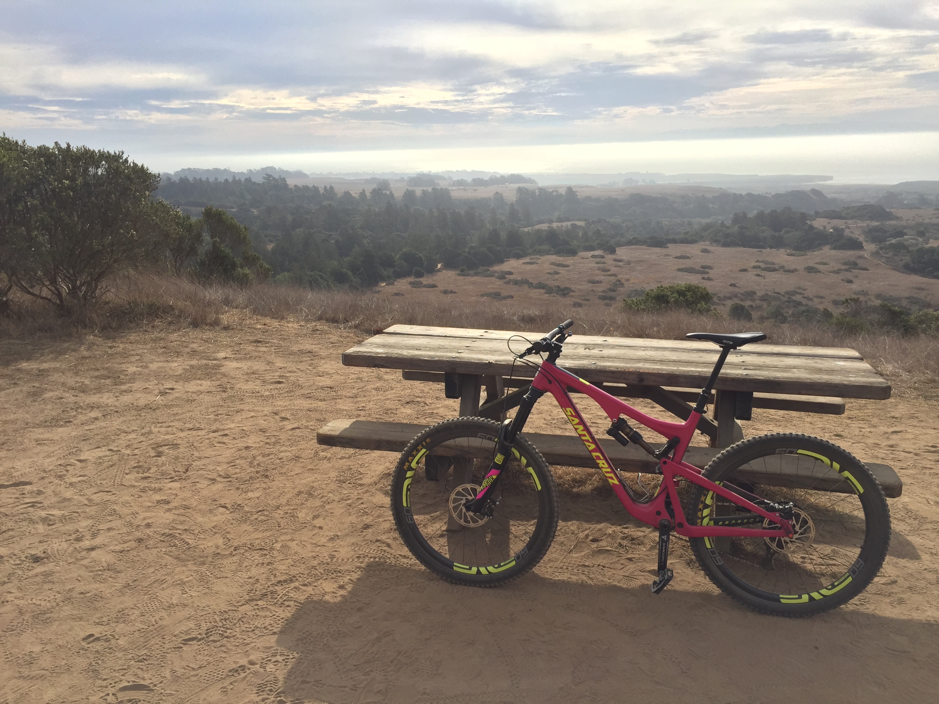
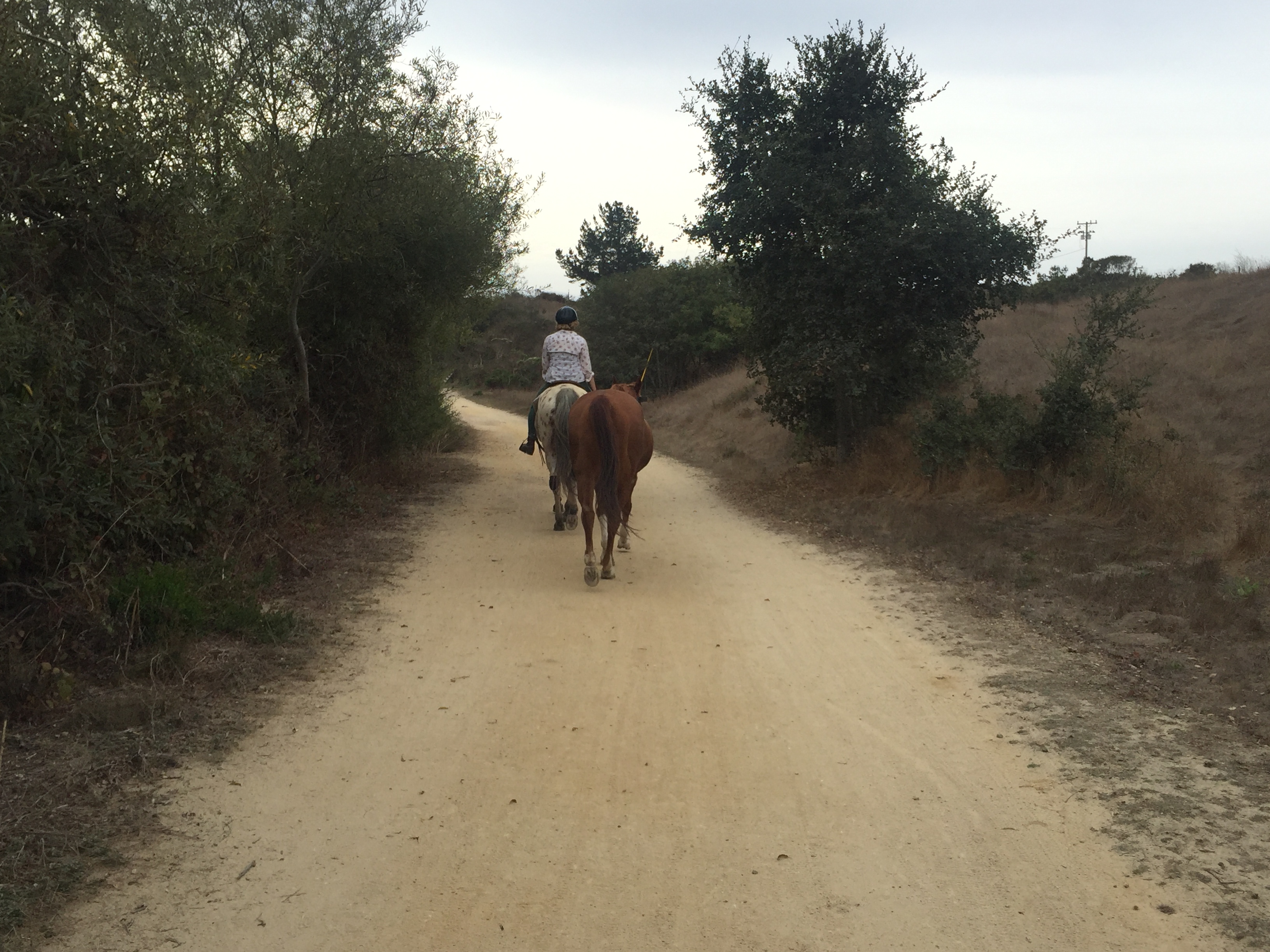
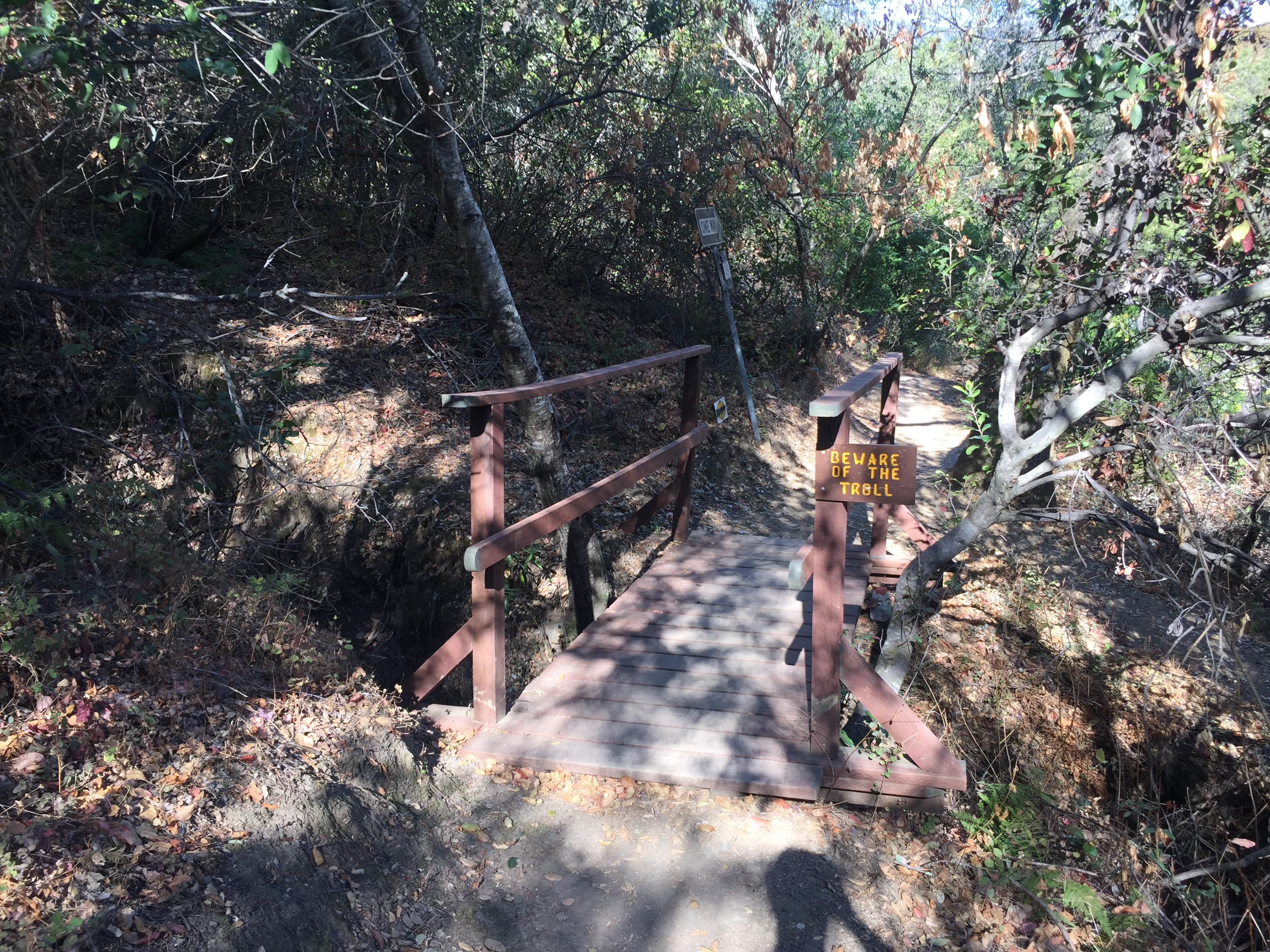
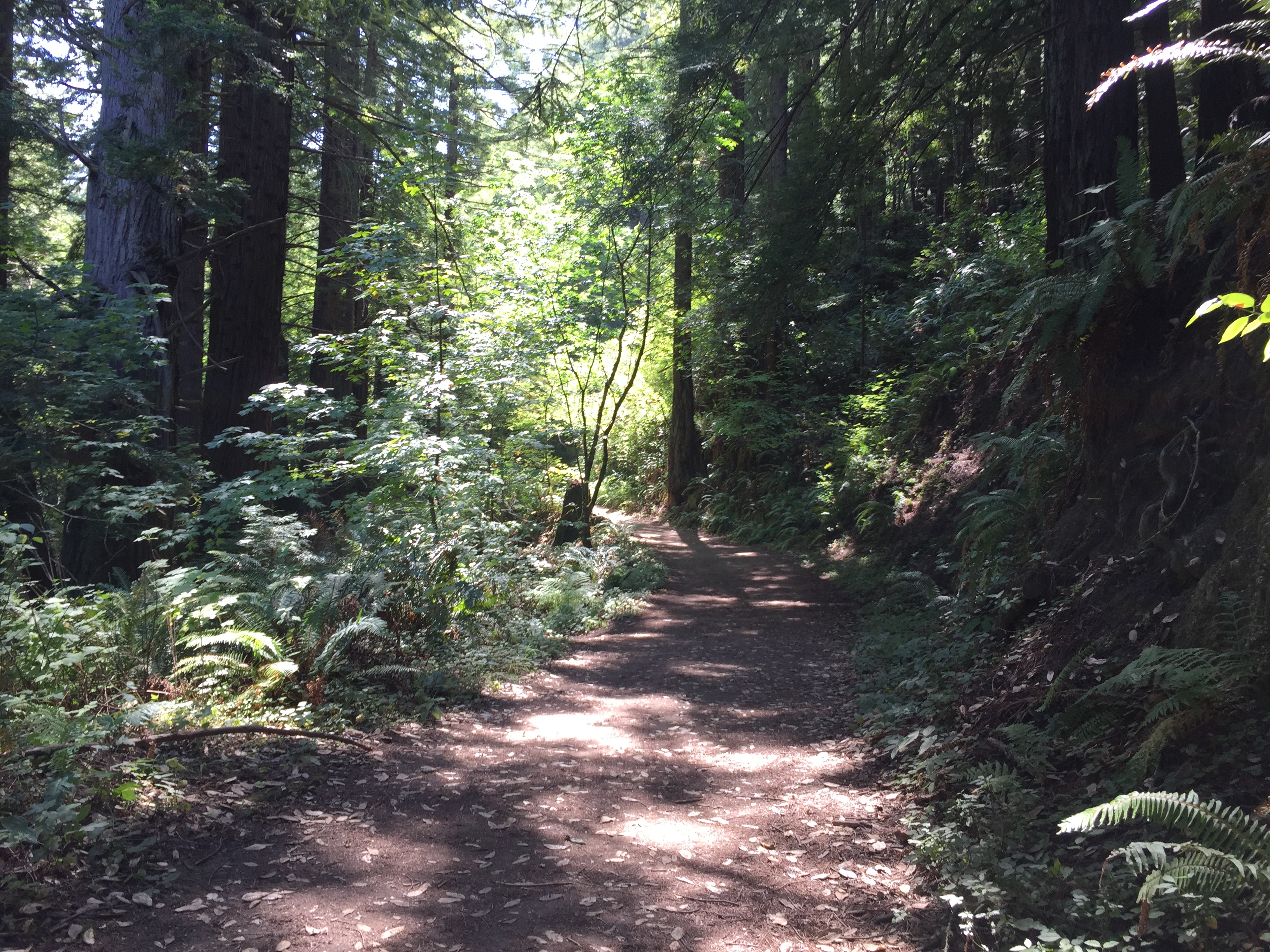
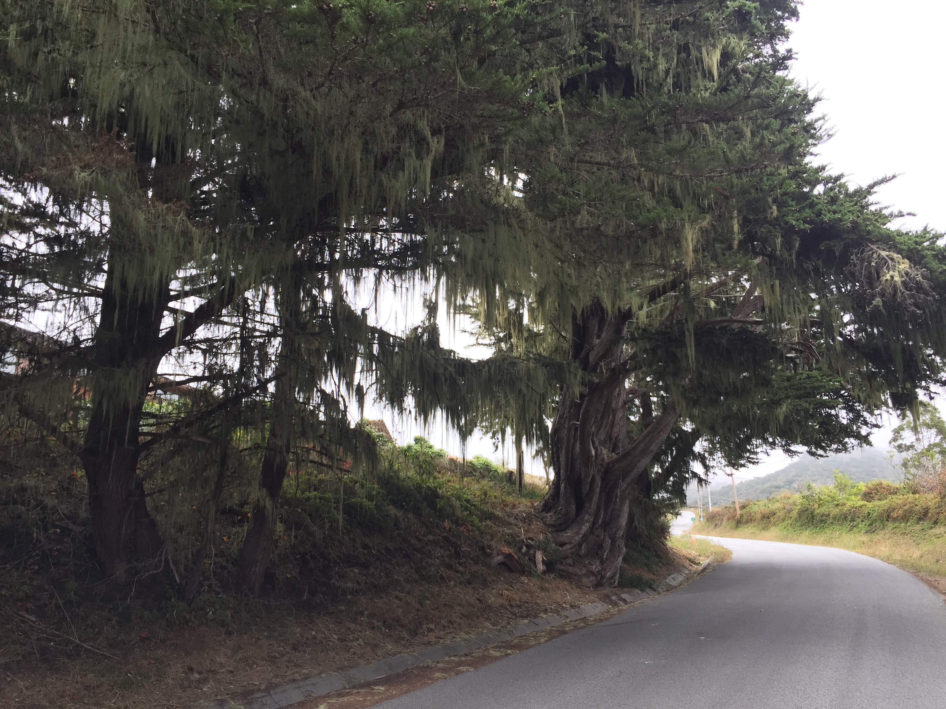
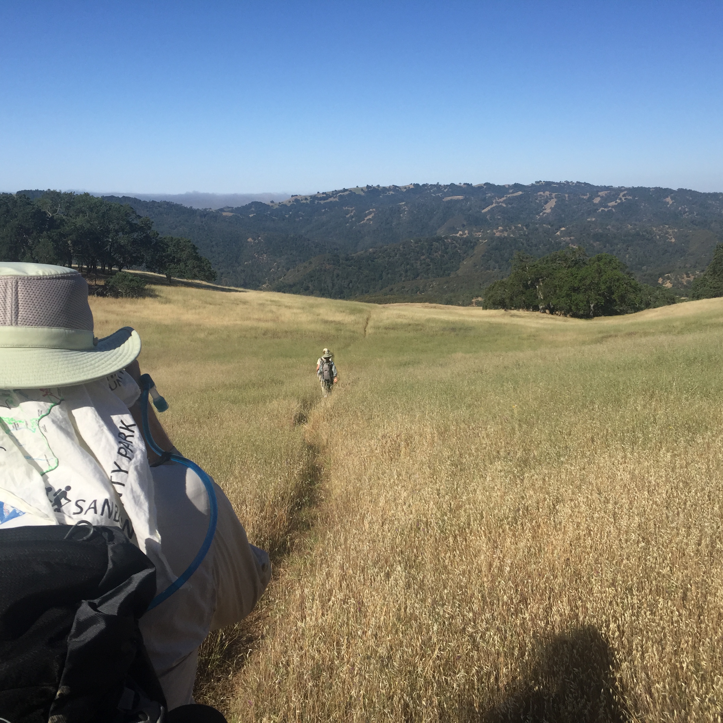
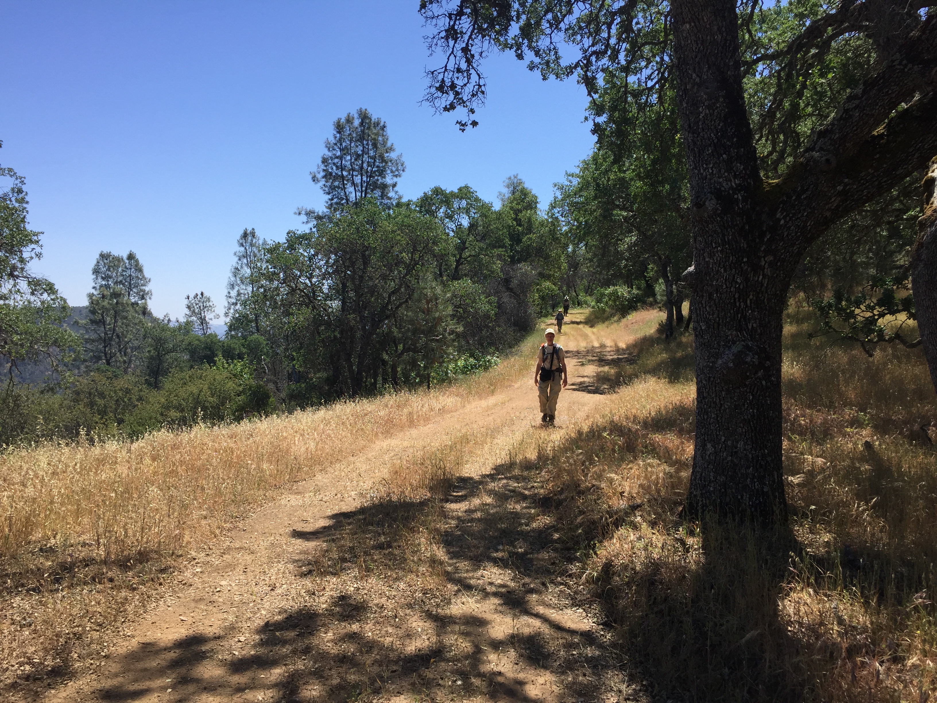
Peaceful trail just before the Hunting Hollow intersection
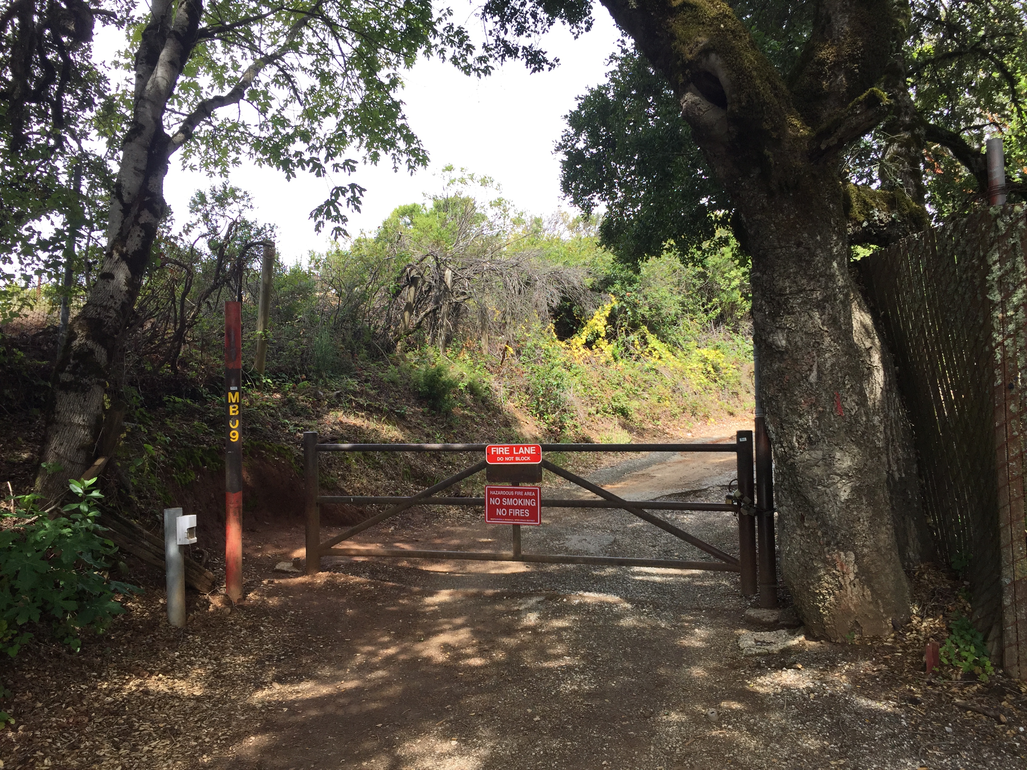
This is a standard ranch gate, without any way around it. You, and your bicycle, must go up and over the 5 foot height.
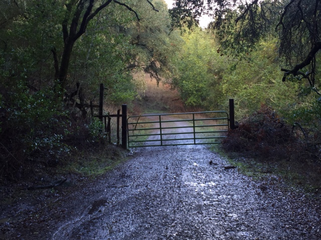
The gate just before the Hunting Hollow trail.
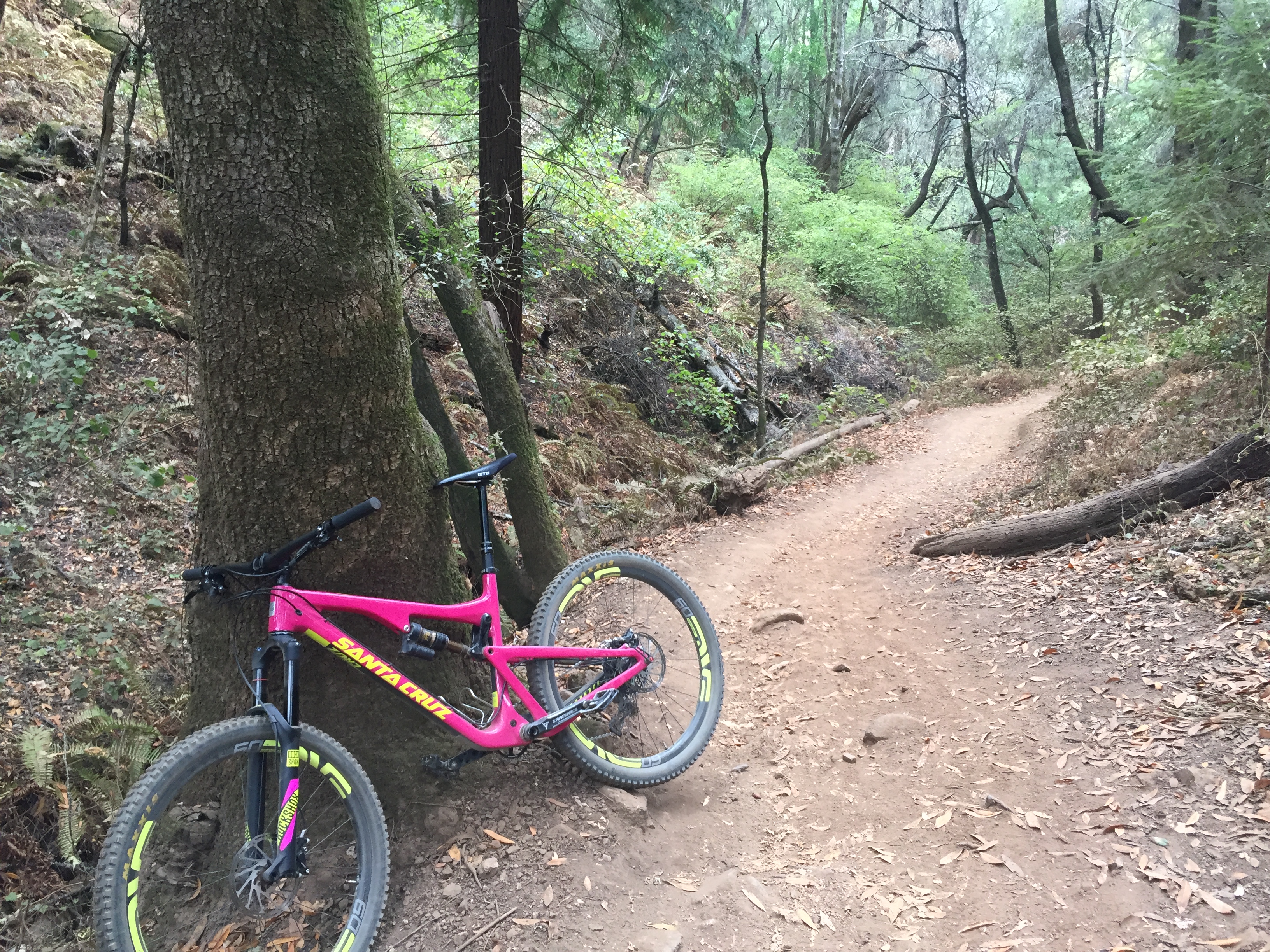
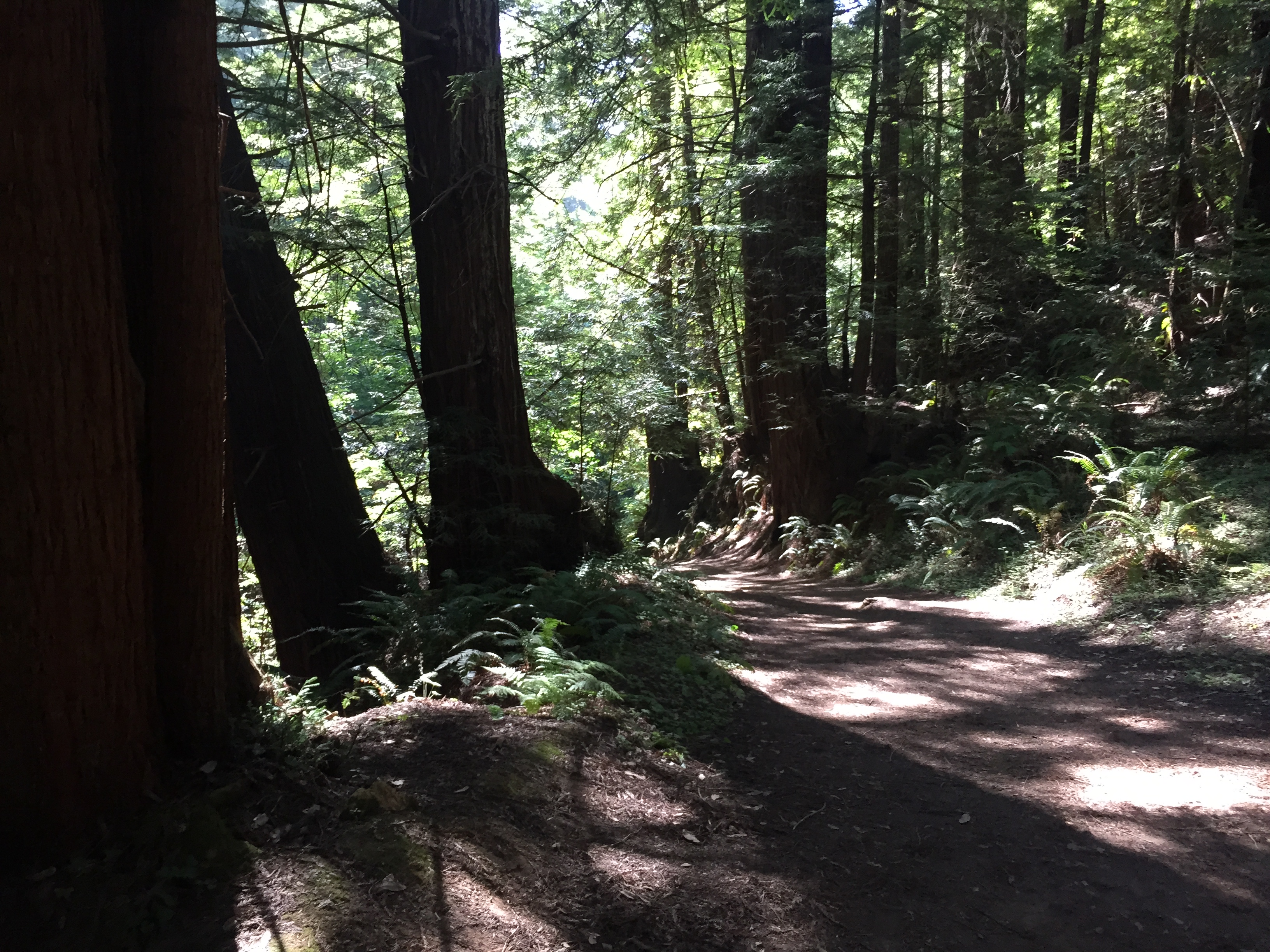
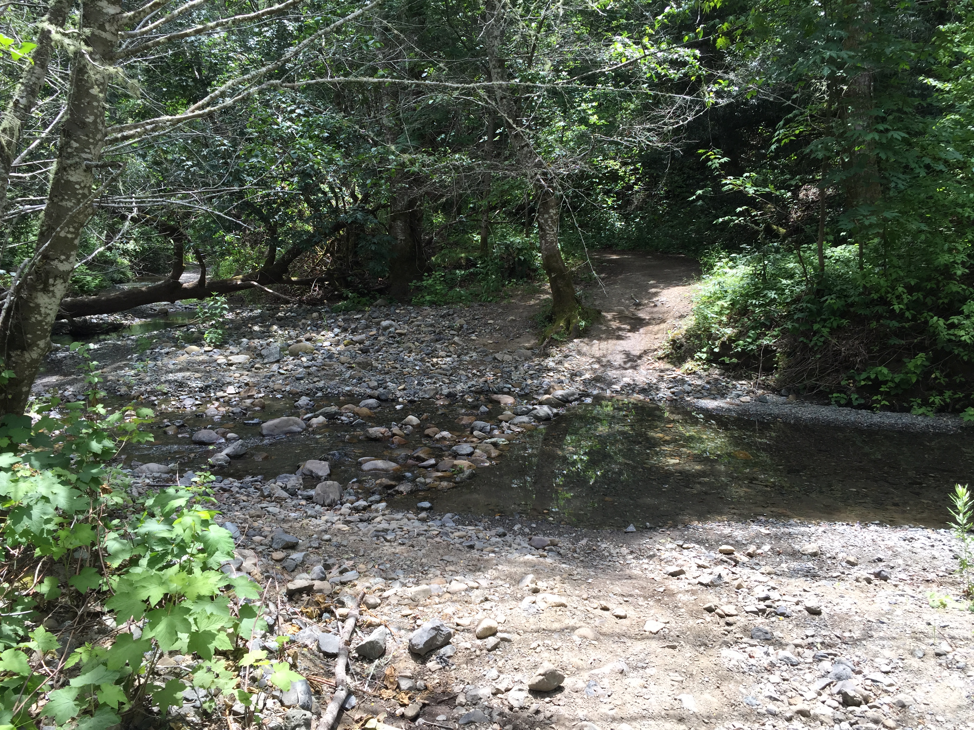
No more sticky mud was encountered. The creek crossings had a few stagnant puddles, but no flowing water. I did get splashed and muddy, however (in a fun way, knowing I had clean clothes in the car!)

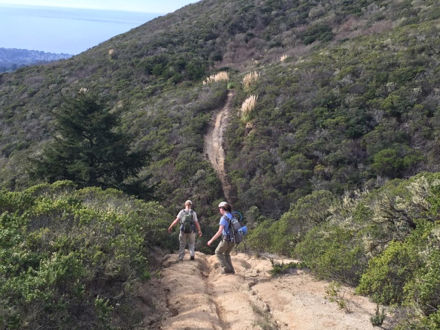
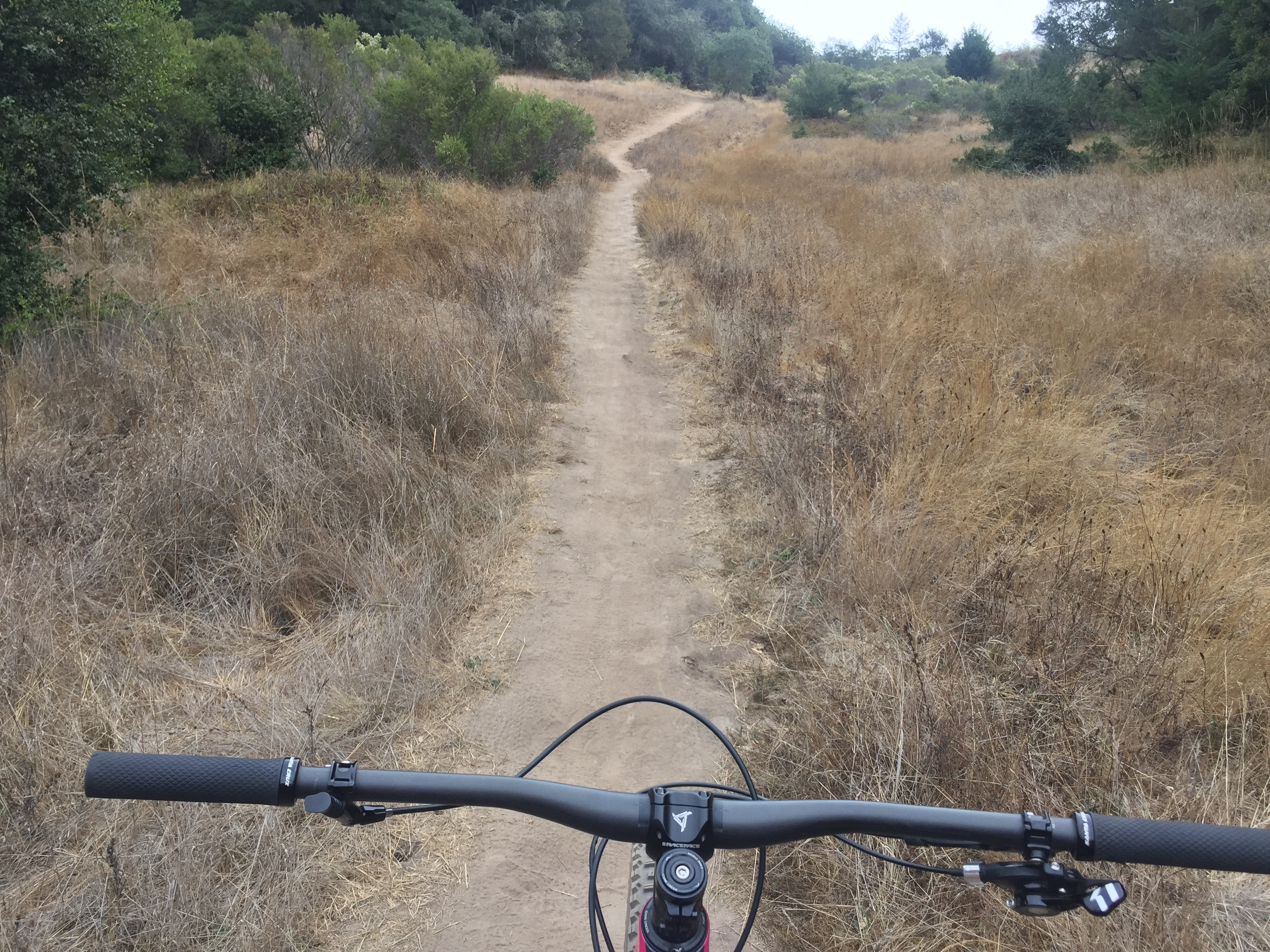
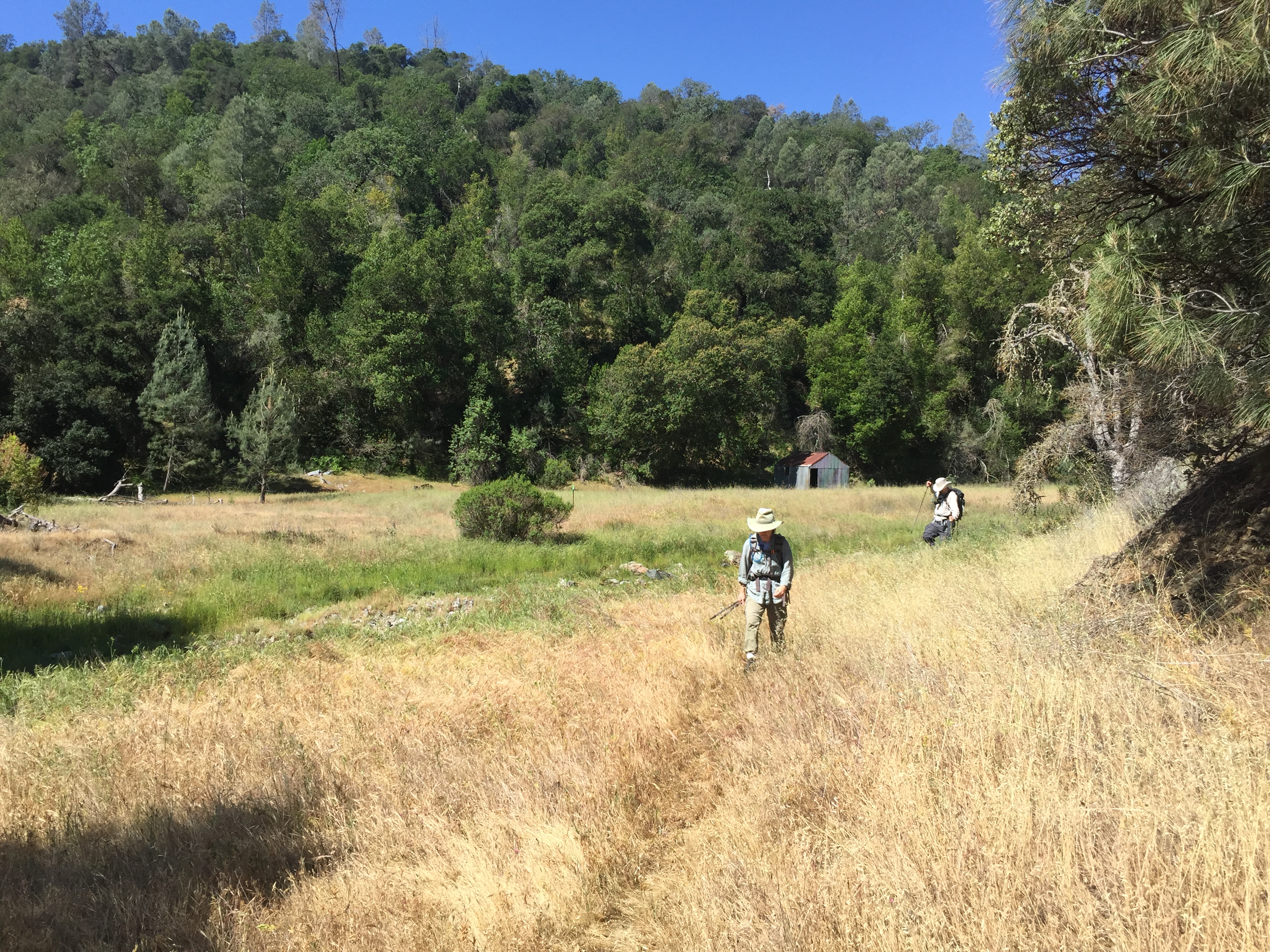
Hunting Hollow Trail

The famous windmill, which is kept operational by park volunteers. (“Thank you” Paul L.)
Hunting Hollow was quiet. This car had been there for awhile, but not overnight, judging by the small amount of warmth coming from the engine. I did not see anybody in the park, and only two vehicles on Canada and Jamieson Roads.
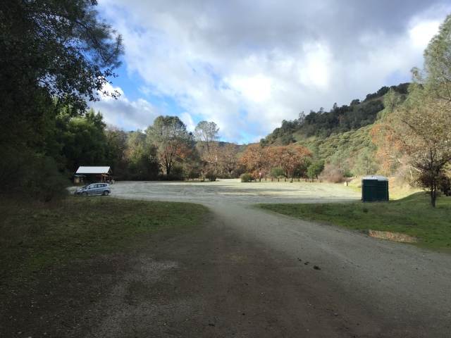
One car mid-day on a wet weekday. (Hunting Hollow parking)

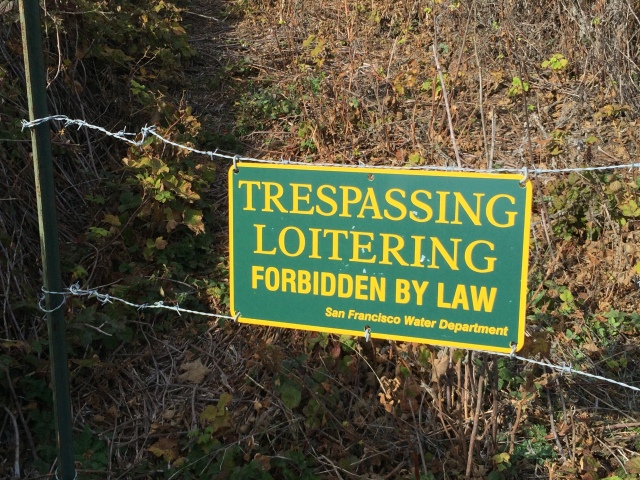
An unpopular sign!
Head down Gilroy Hot Springs Road, and turn left at the Fire Station.
The Fire Station where Canada Road starts
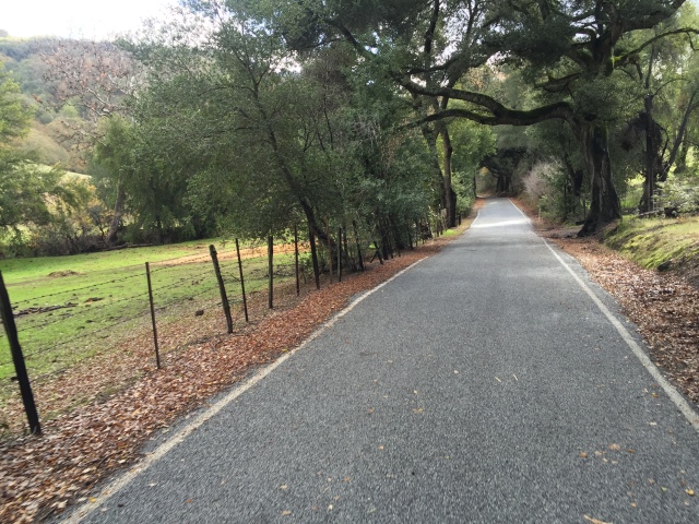
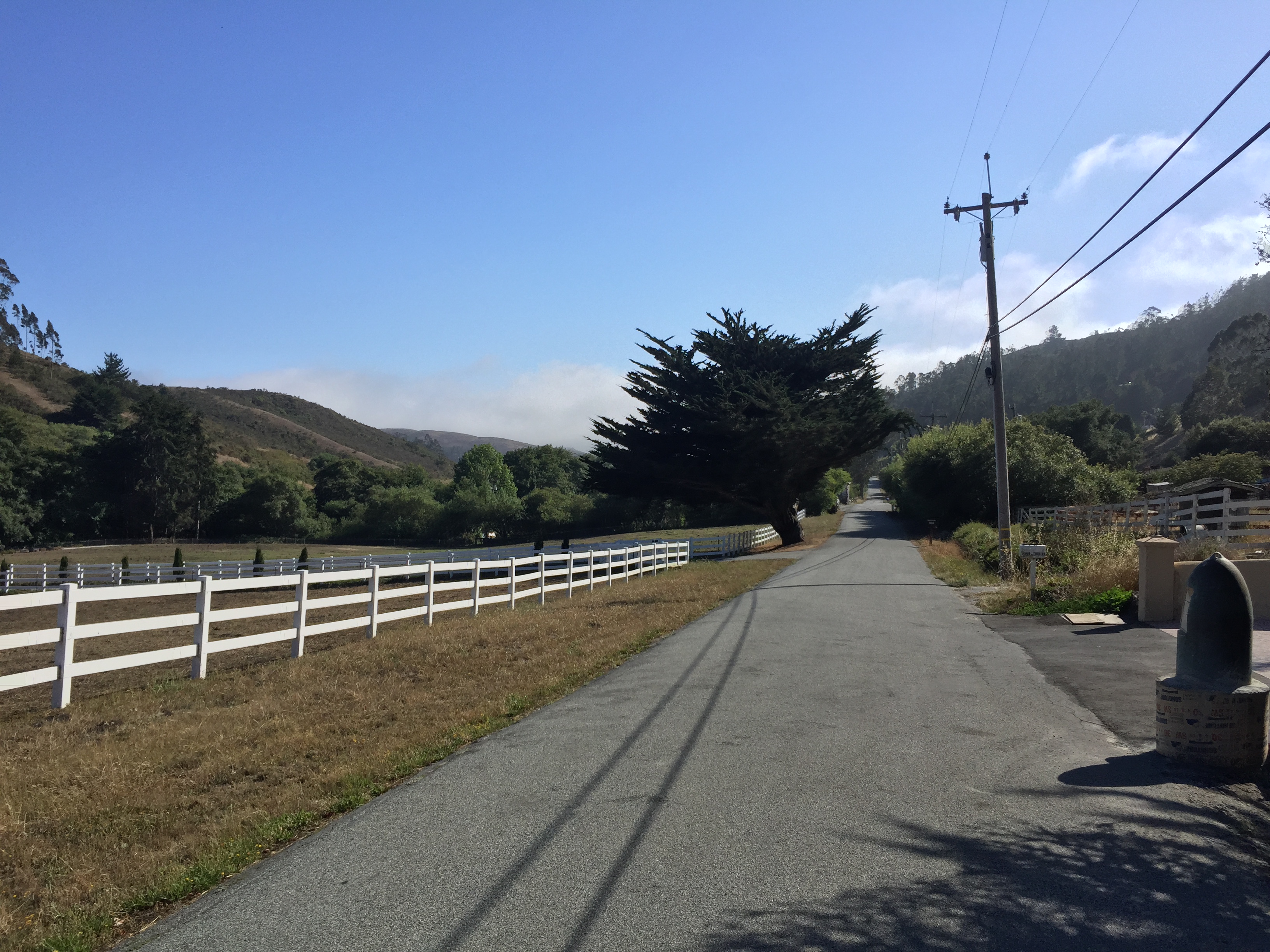
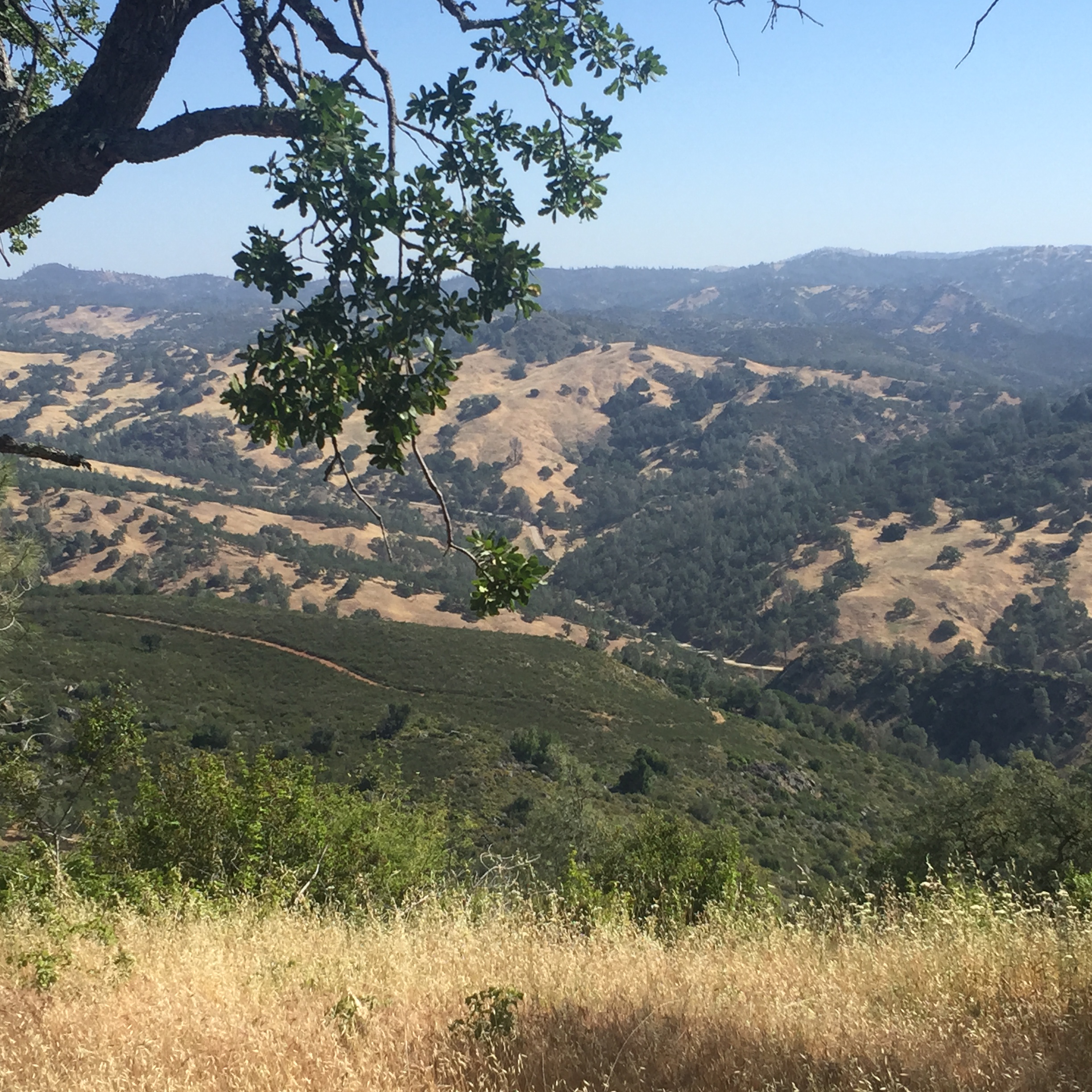
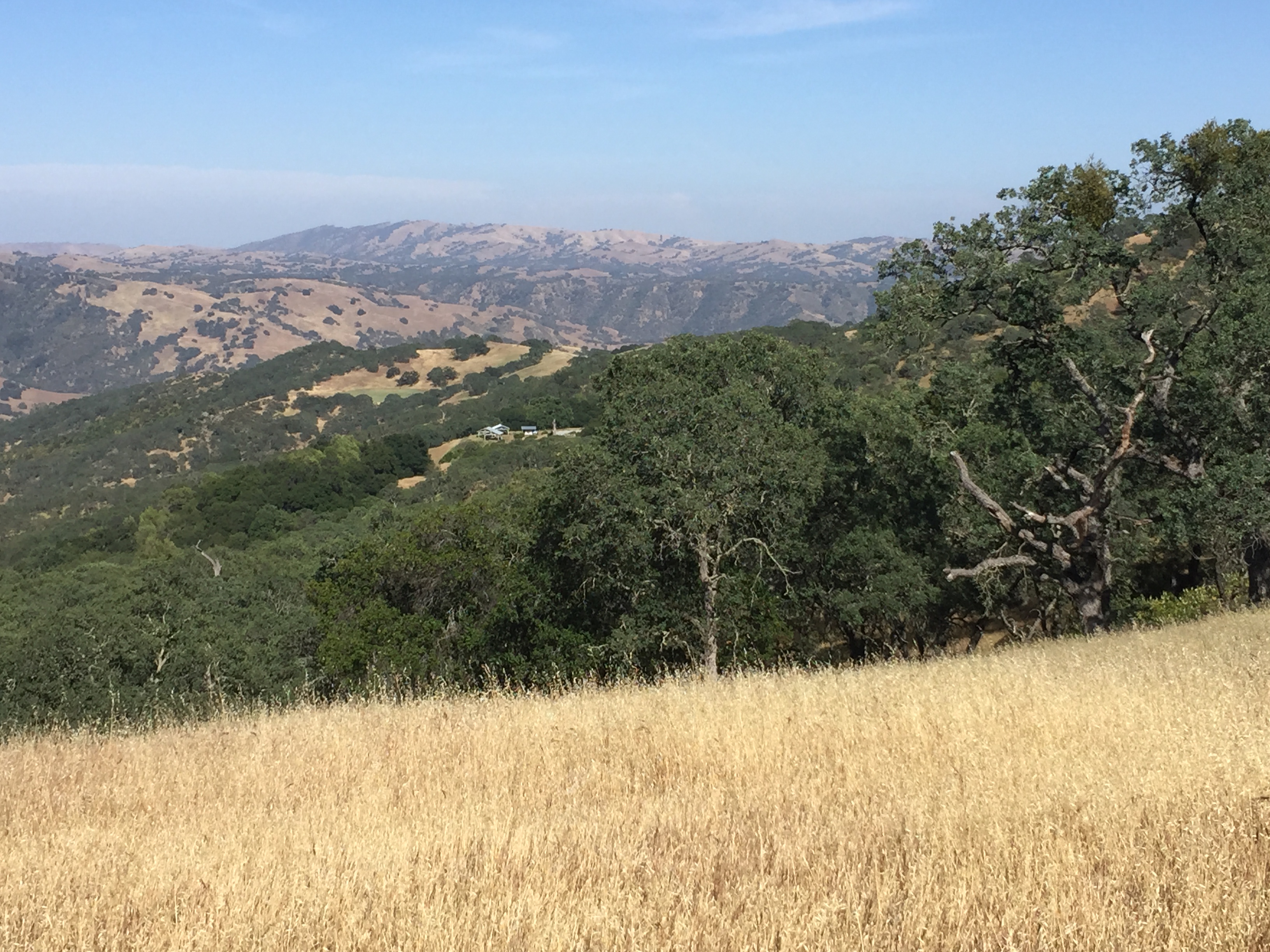
Canada Road, heading back to Kickham Ranch

Filet Mignon along Canada Road

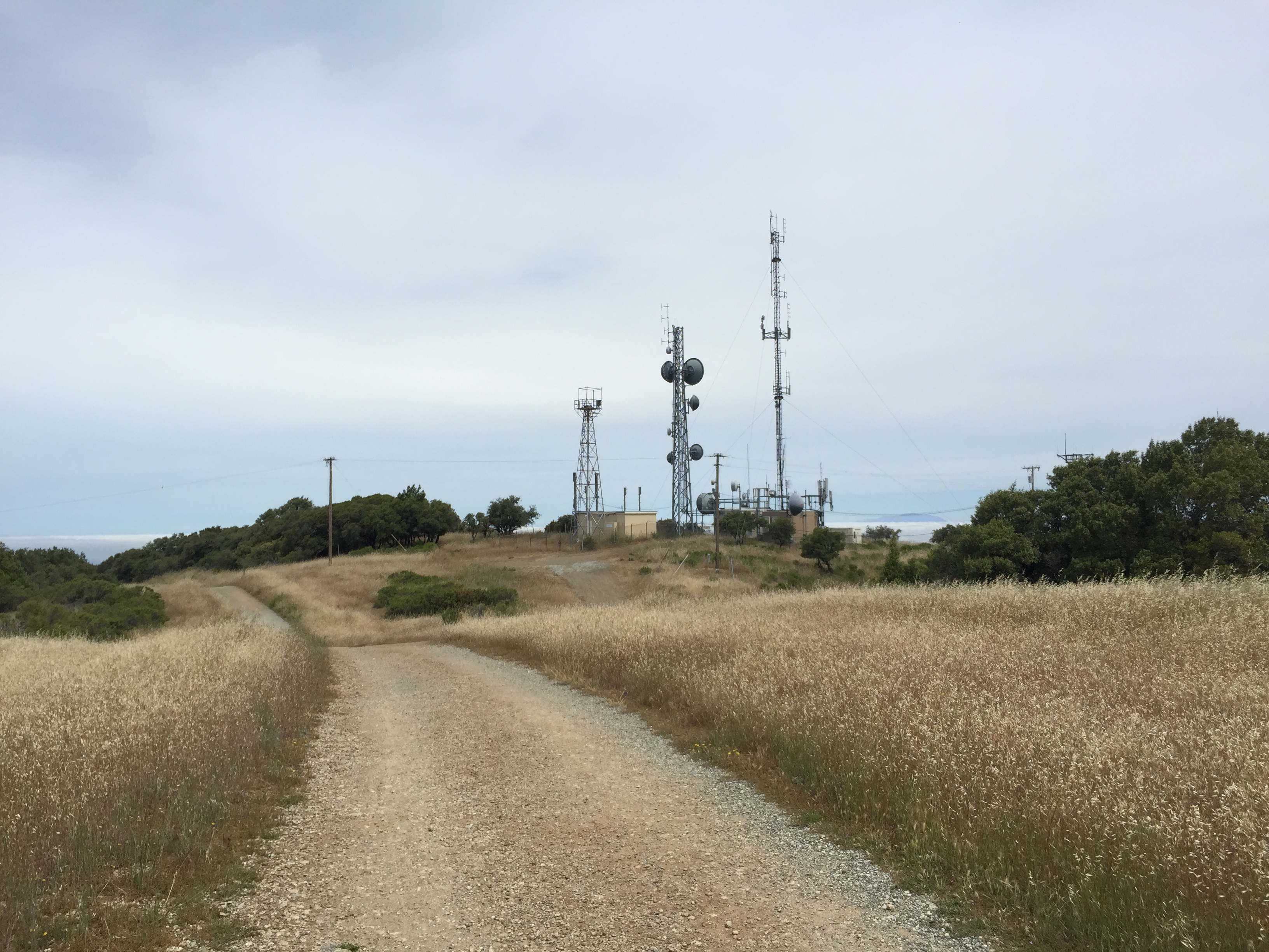
Canada Road turns right and Jamieson Road to the left (towards Kickham Ranch)
That’s it! It was about 11 miles and ~600 vertical feet. An interesting outing, but also a good reminder as to why the single track trails are closed to bicycles after a rainfall. Yuck! (Map & GPS track on Strava: https://www.strava.com/activities/448395470 )


")


