
A quick blog post to document for myself, and maybe others, a nice little route (bicycle ride) in Los Gatos, near Summit Road.
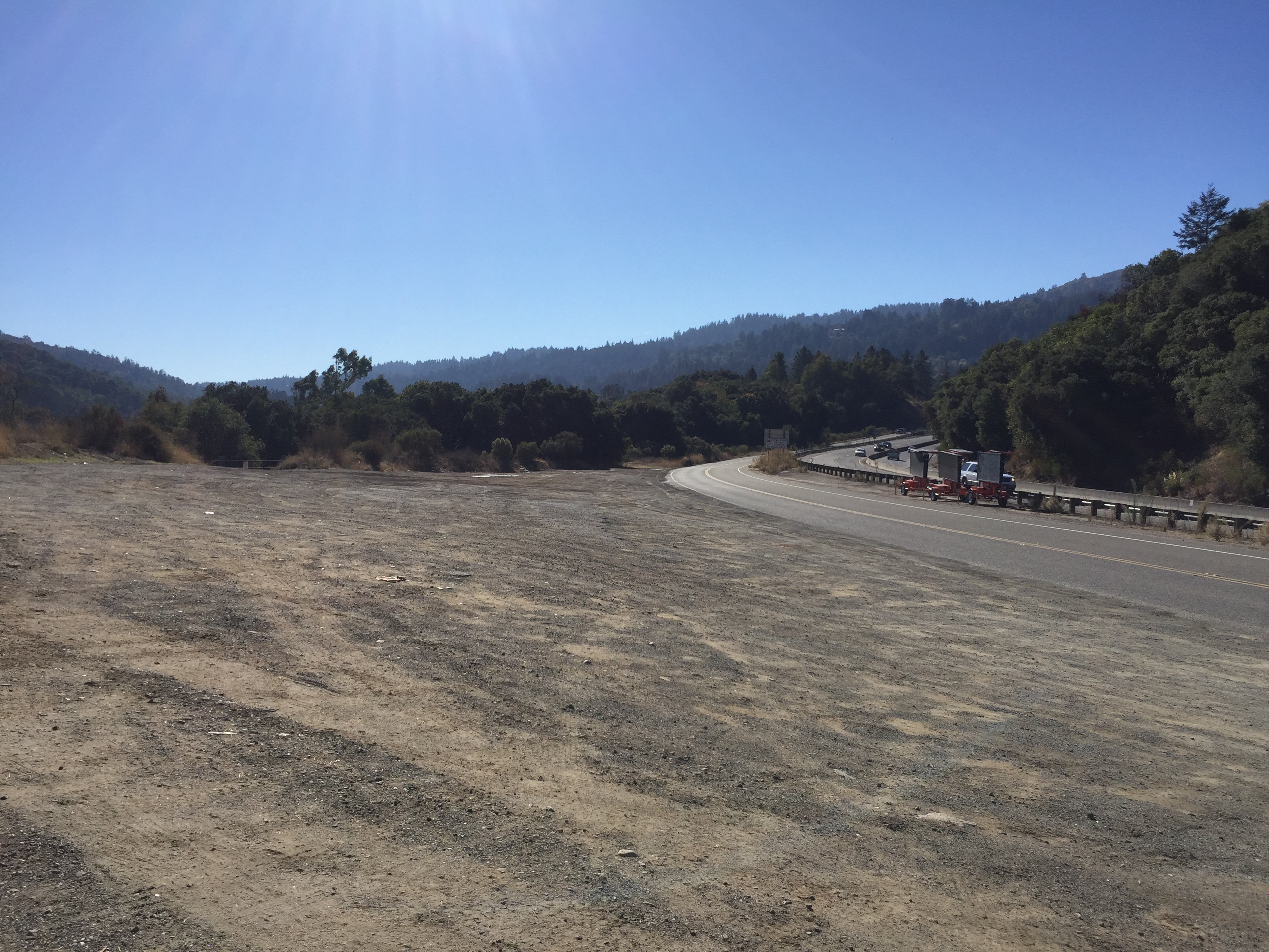
I parked my car between Highway 17 and the Lexington reservoir. It’s a bit to the SW after you exit Bear Creek Road
Head uphill, past the Lexington Elementary School, until you get to the Aldercroft Heights turnoff.
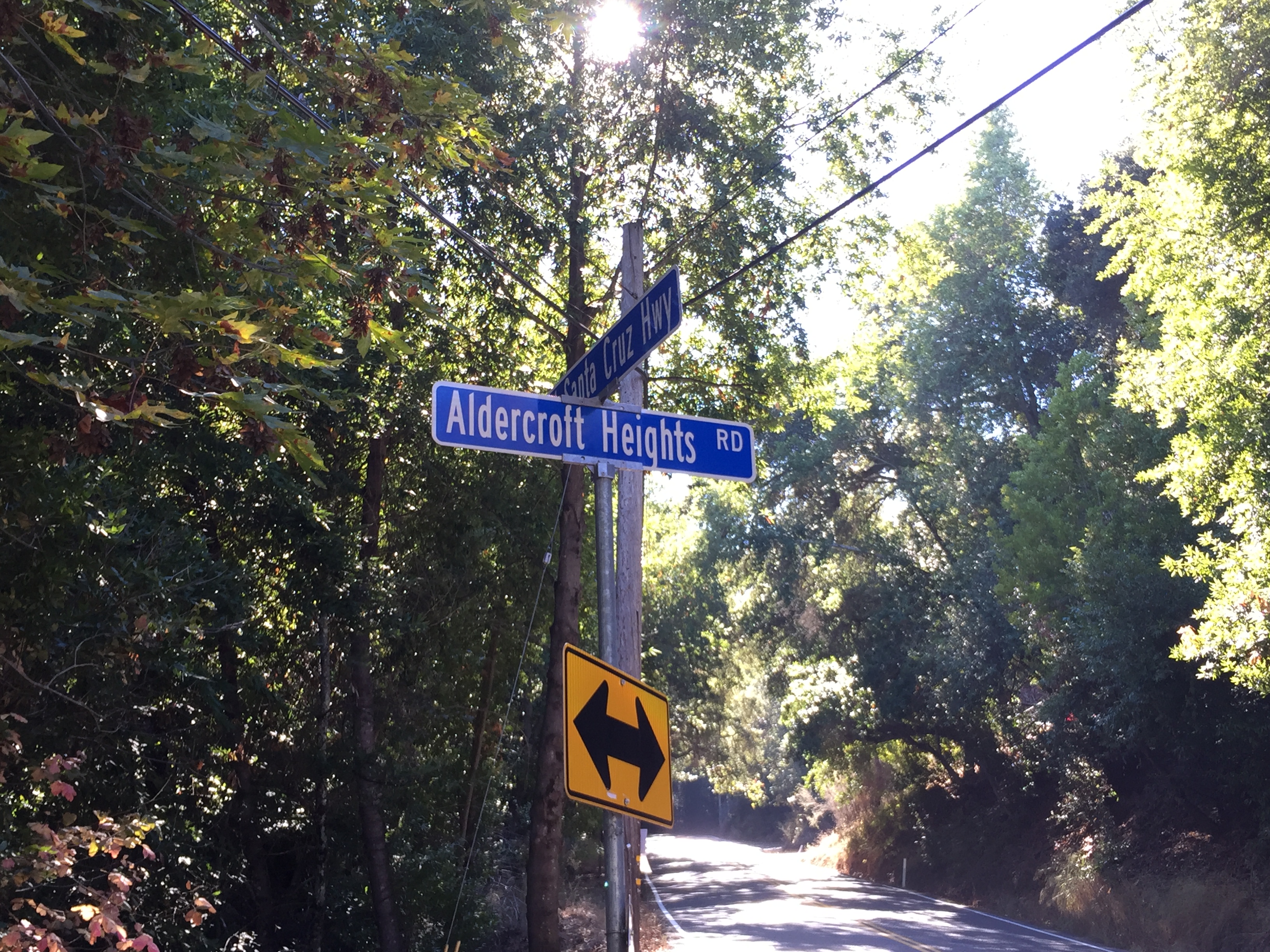
Bear right and stay on Old Santa Cruz Highway and you’ll eventually see this odd building.
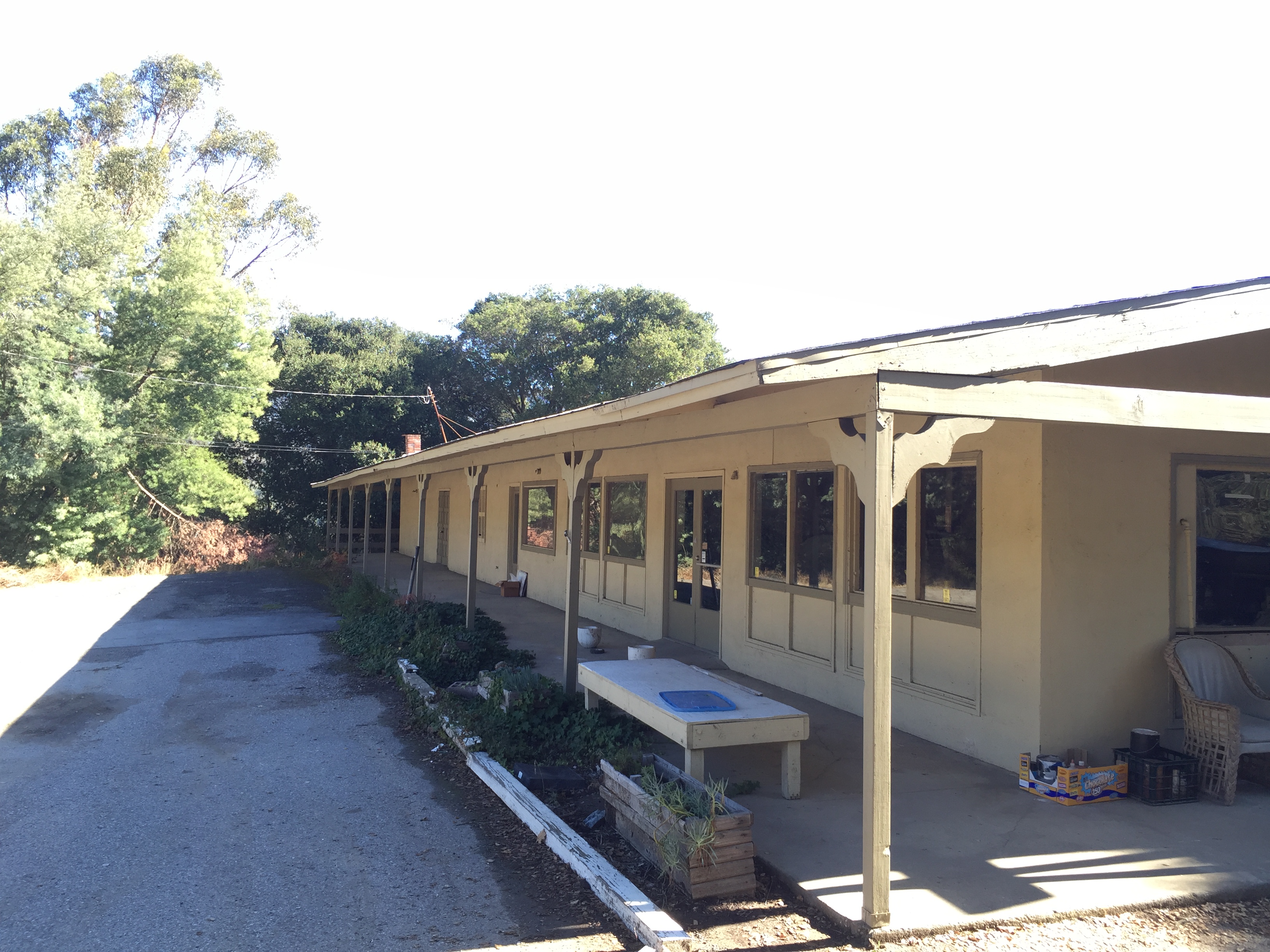
The main building in Holy City
“Holy City” was a settlement founded by a guy who was (you guessed it!) “holy”! Founded in 1919 and formally disbanded in 1959. I often stop and rest in the shade of this large building. A few years back it had a glass blowing shop that tried to pull in tourists from Highway 17, but seems to have failed. https://en.wikipedia.org/wiki/Holy_City,_California

Photo Credit “Grubb & Ellis” via http://www.marketwatch.com/story/ghost-town-symbolizes-woes-of-real-estate-icon-2012-02-24
If you bear right onto Holy City Road for a few hundred feet, and look to your right, you’ll see an interesting old garage from the original settlement.
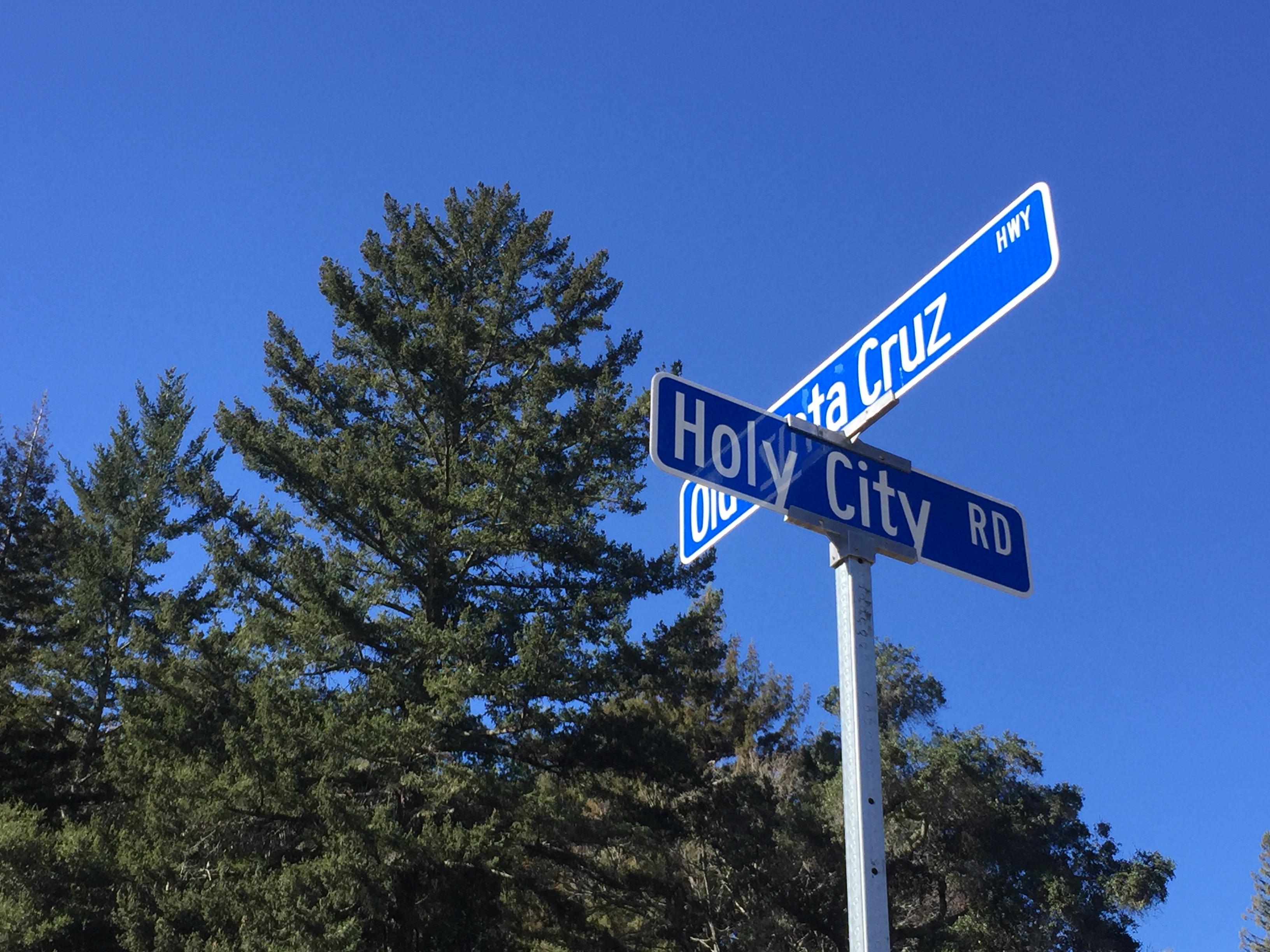
Go a about 100 feet up Holy City Road and look right
Notice the roof eaves and other architectural details. (It’s on private property, but you can get a good view from the public roadway.)
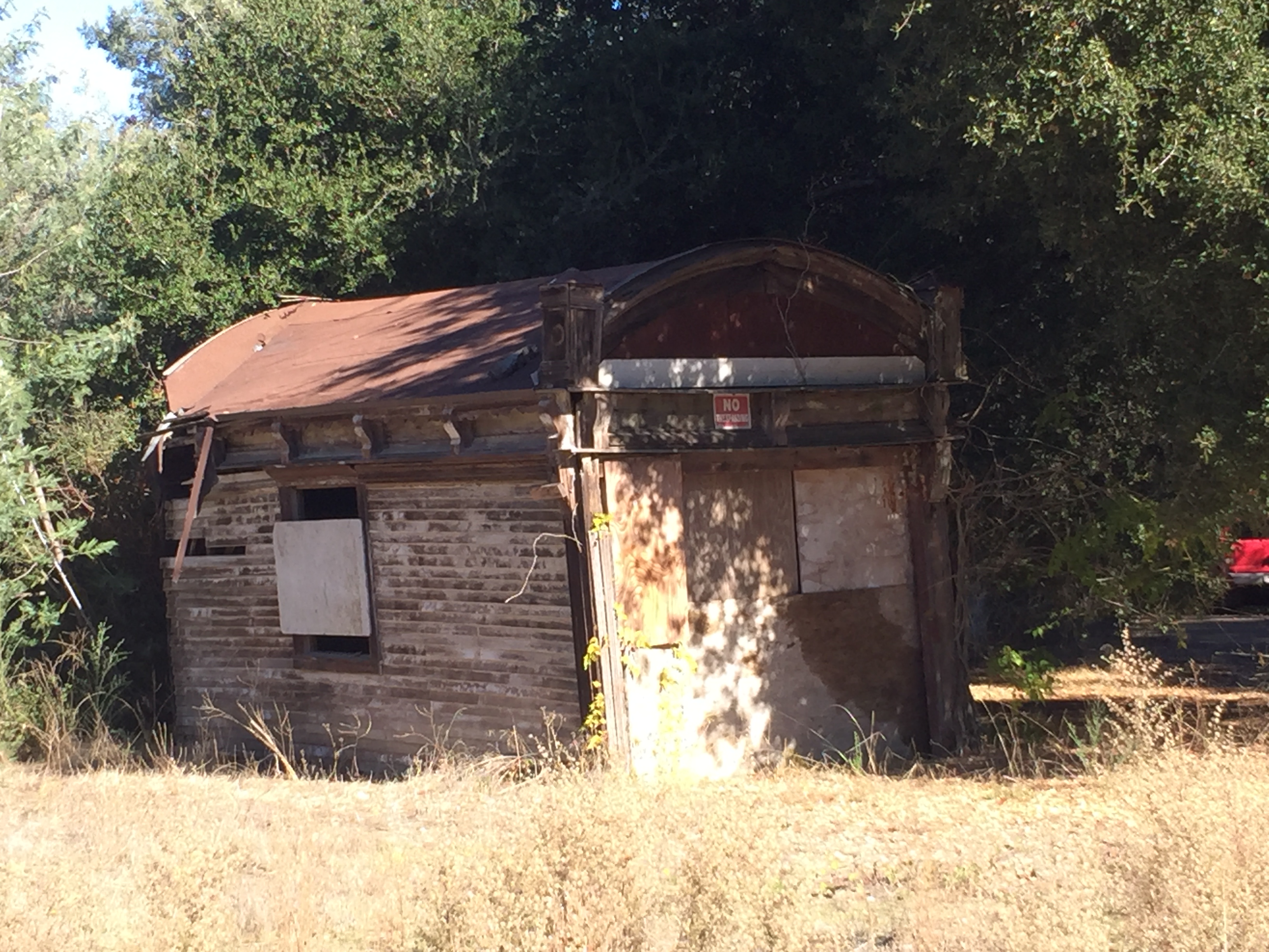
An early 19th century garage from the original Holy City days
Continue up Old Santa Cruz Highway and the next point of interest will be the old crossroads of “Patchen”.
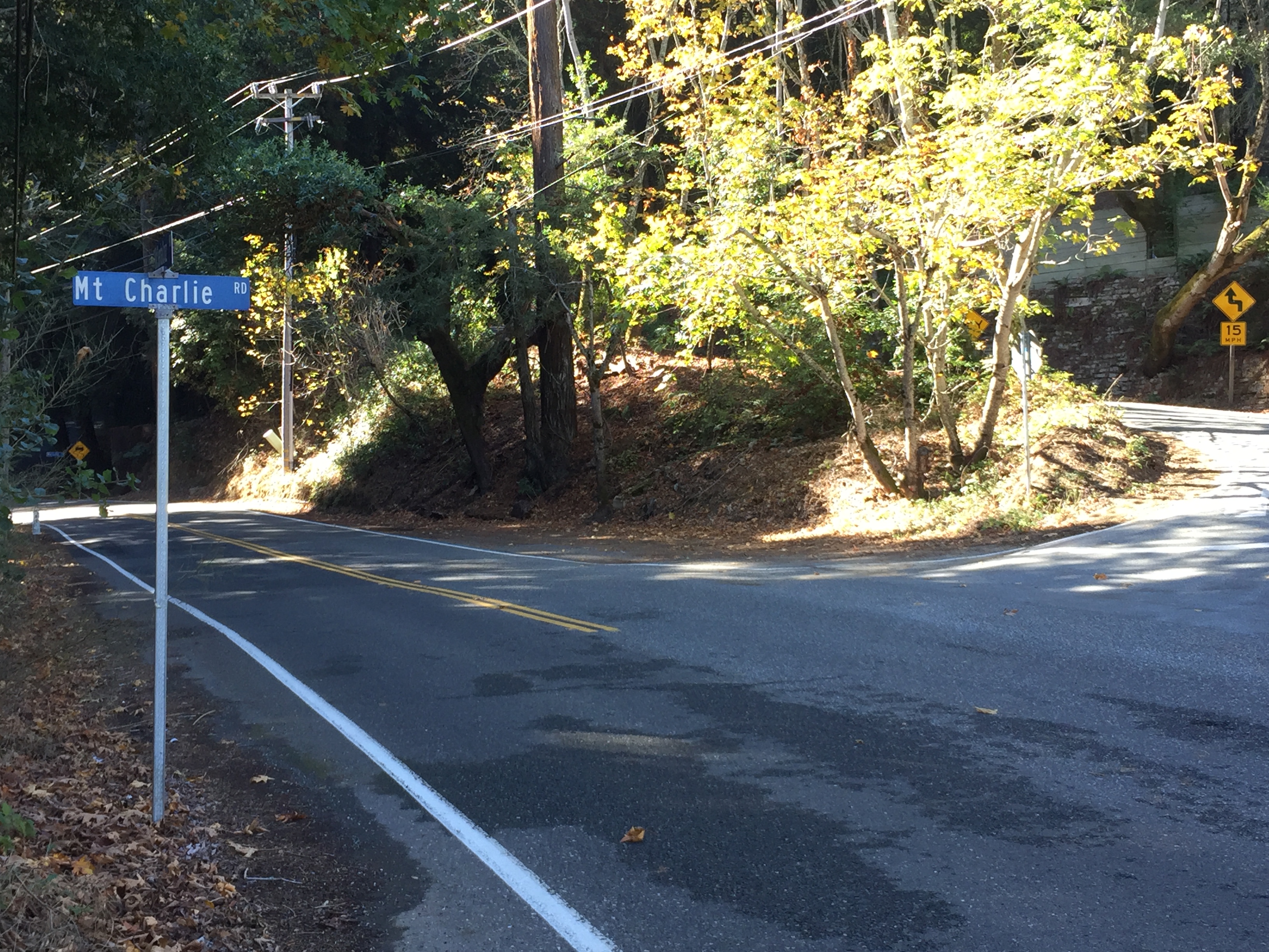
Mountain Charlie Road begins across the street from his cabin! (Not likely a coincidence!)
This now consists of a Christmas Tree farm and the old cabin of Mountain Charlie. (Here are highlights of historical locations as an early settler in these mountains http://www.mountaincharlie1850.org/historytour.html )
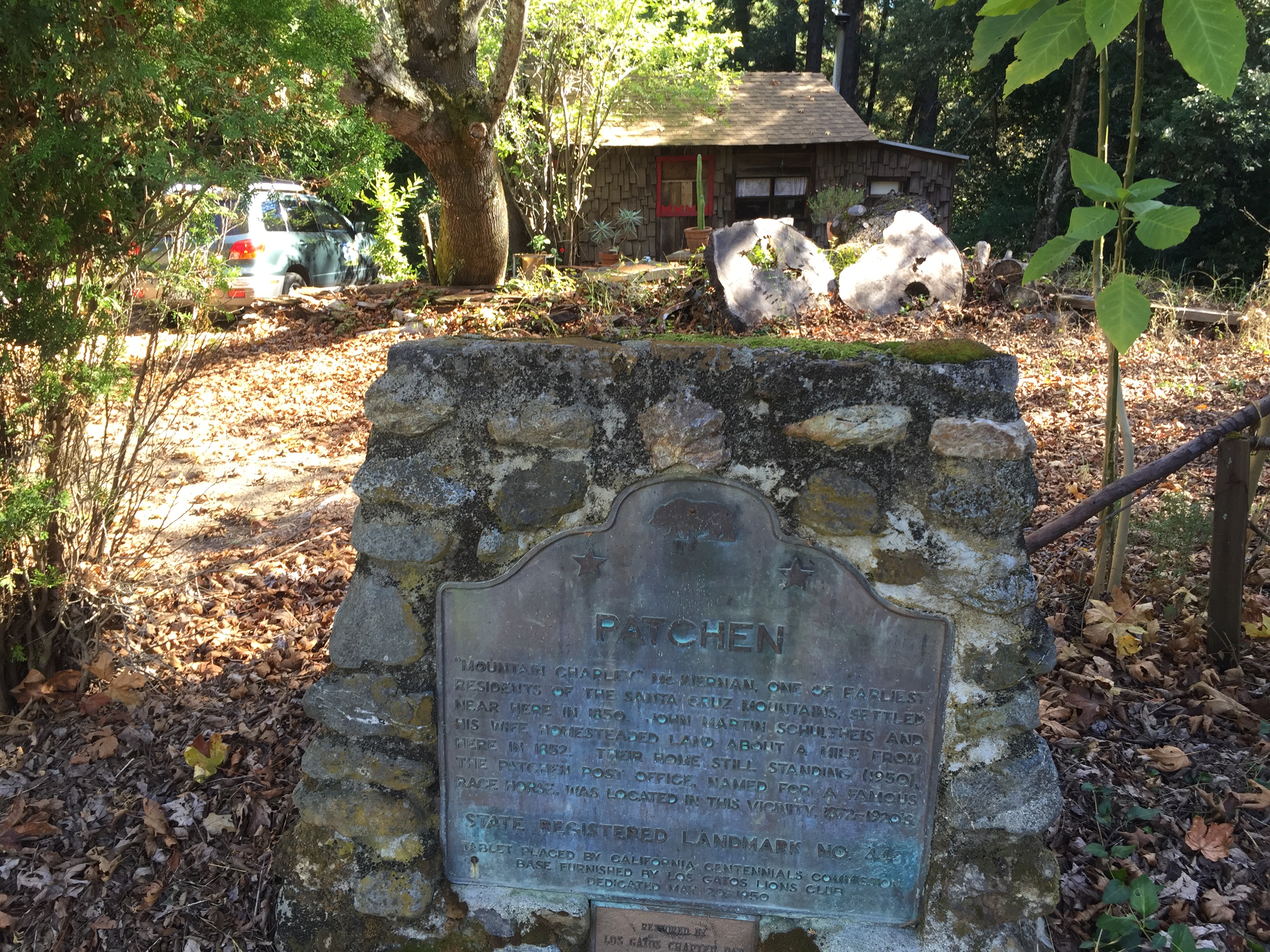
Mountain Charlie’s cabin in the background.
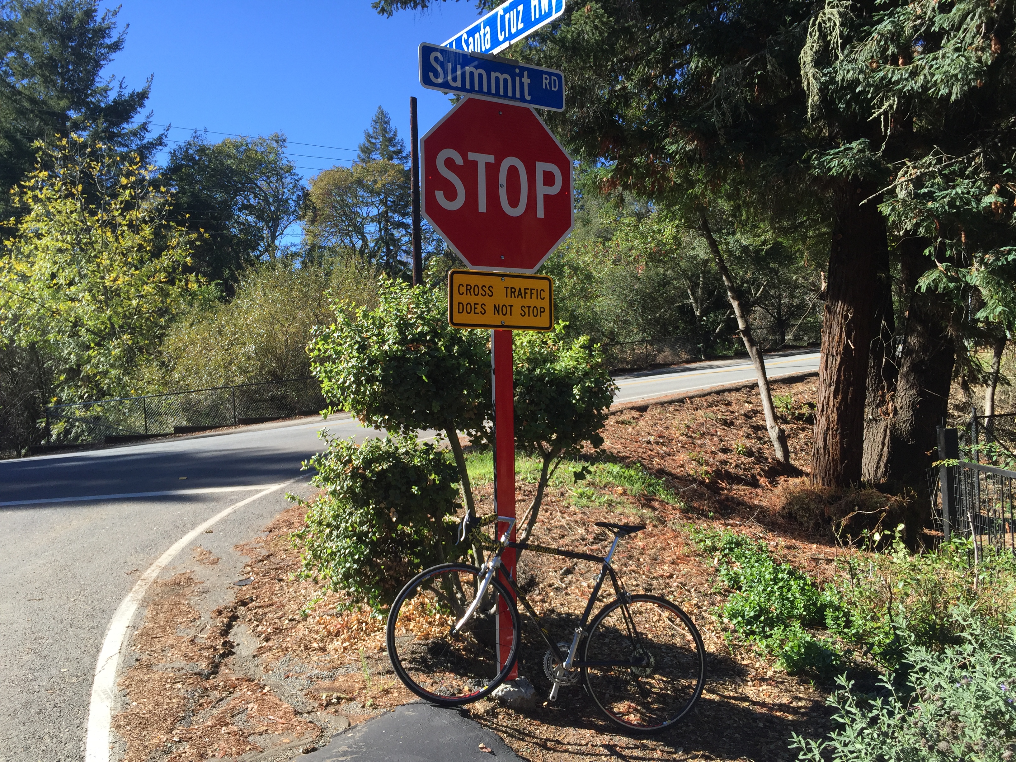
Continue uphill to the intersection of Summit Road.
Summit Road!
Cross Summit Road, staying on Old Santa Cruz Highway.

Old Santa Cruz Hwy crosses Summit Road
After a short distance you’ll see a left onto Schulties Road. It’s bumpy for awhile, then the pavement actually ends. It’s slow going at times, but my skinny tire road bike had no problems.

Schulties Road goes from rough pavement to smooth pavement to no pavement!
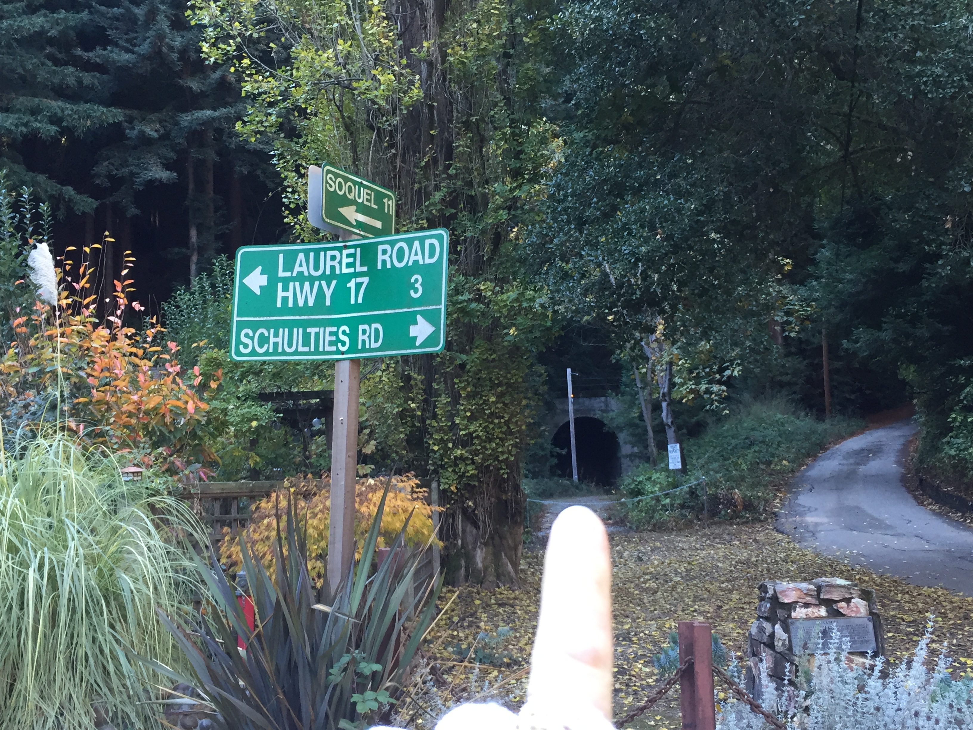
At the bottom of Schulties Road you’ll enter the crossroads of “Laurel”.

“Laurel”
The highlight of Laurel, sometimes overlooked among the handful of homes, is the old train tunnel.
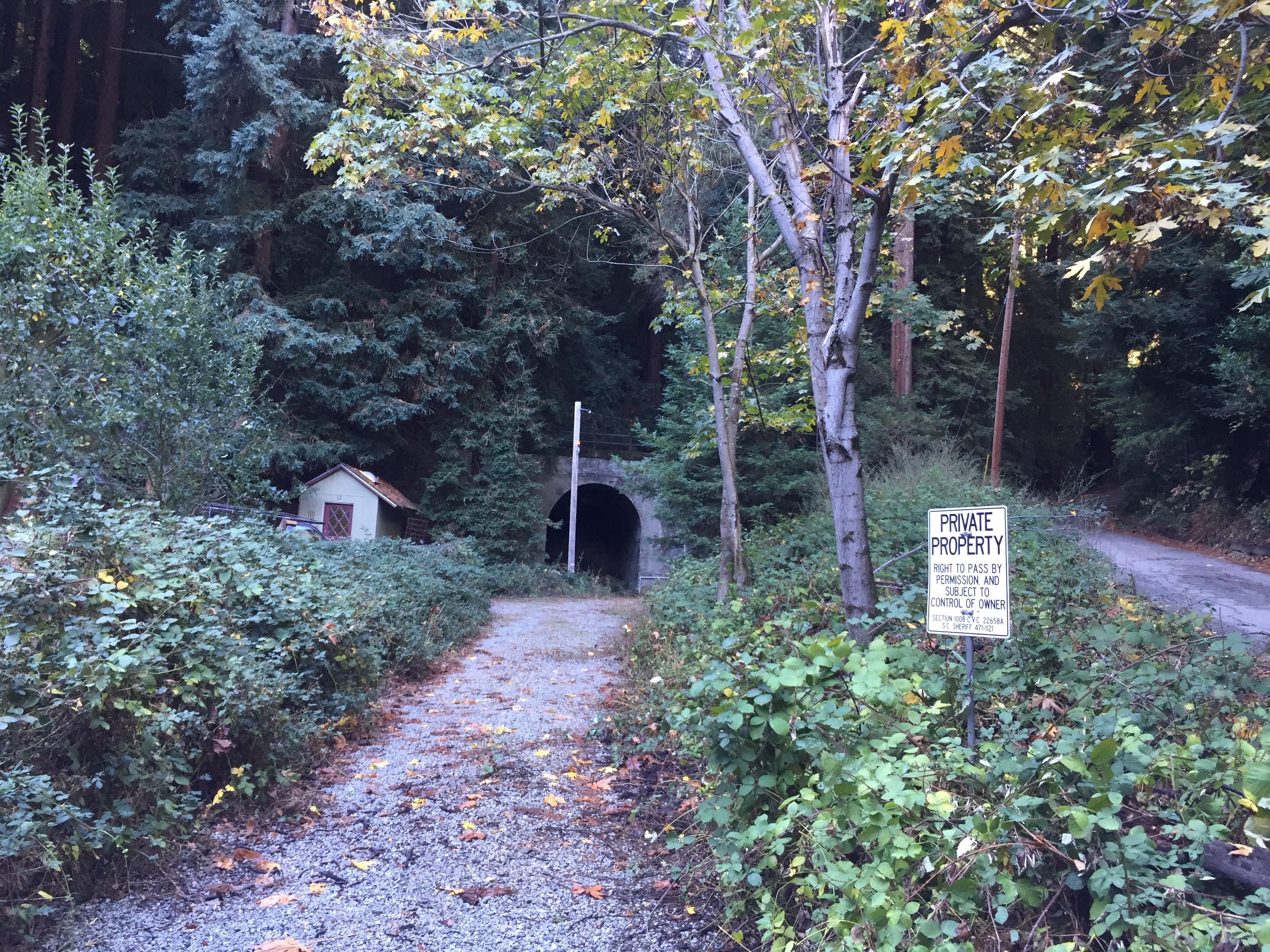
The Laurel Train tunnel
The Laurel intersection. Train tunnel way back on the right
There used to be a series of 4 tunnels on the old train route from San Jose to Santa Cruz. All 8 portals still exist, though most are either on private property or are hard to find. They were blown-up internally in 1940 after being unused for awhile. This one can be seen without leaving your car, as can one at the end of “Wright’s Station Road” (http://www.santacruztrains.com/2012/03/wrights-station-summit-tunnel-north.html). I’ve been to all 8 portals, after doing some detailed research on USGS Topo maps, as well as carefully planning my route to avoid trespassing. This is the best summary of the 8 tunnels and a start for my research http://coursetrained.blogspot.com/2008/08/lost-tunnels-los-gatos-to-santa-cruz.html
After gawking at the tunnel from a distance, turn left onto Redwood Lodge Road to start enjoying your climb back up towards Soquel San Jose Road.
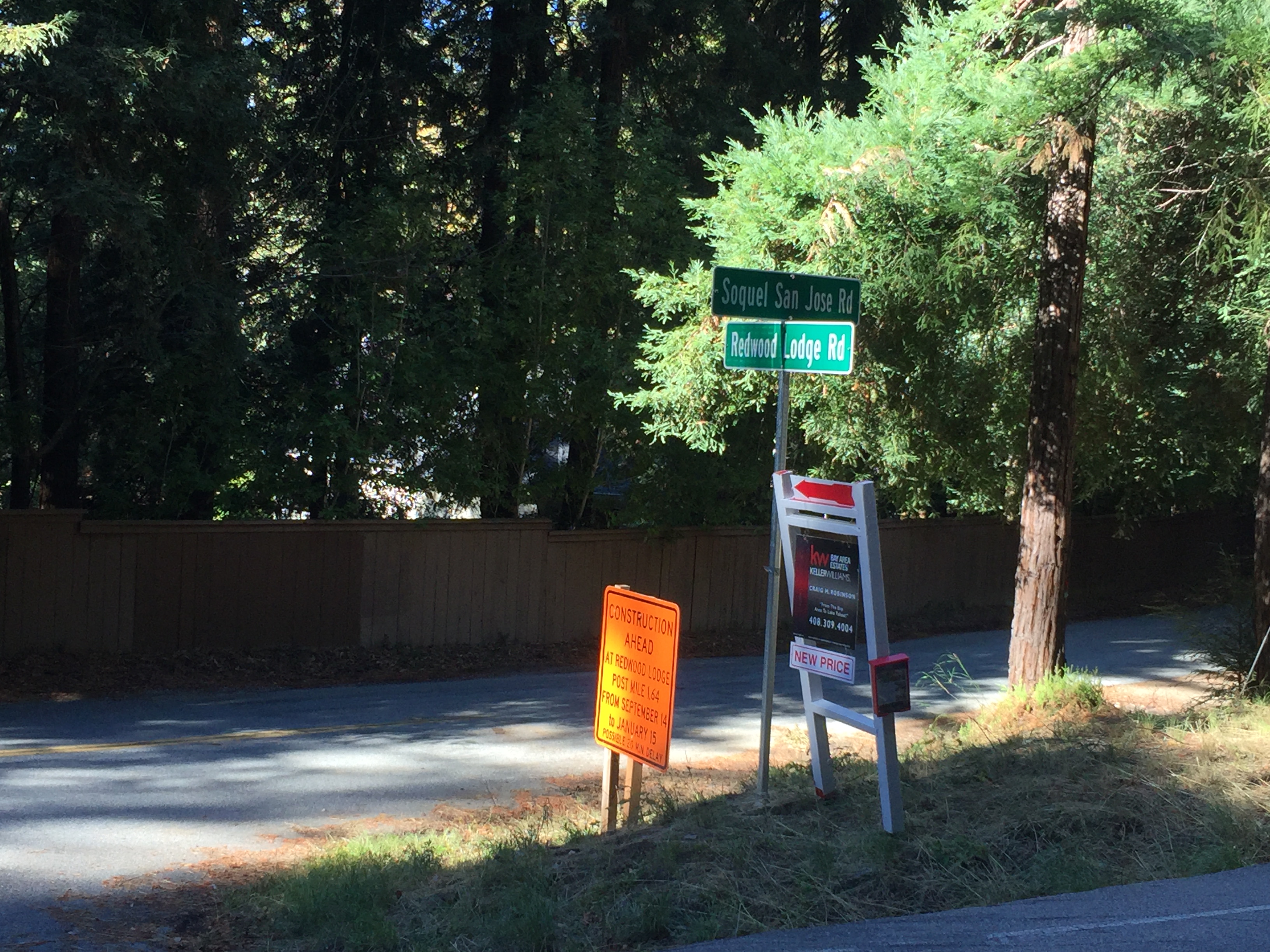
Redwood Lodge Road meets Soquel San Jose Road
Left on Soquel San Jose Road (a bit busy!) and a left on Summit Road. Stop for a snack st the Summit Store. http://www.summitgrocerystore.com/
A few miles further down Summit Road will take you to the high point of the Old Santa Cruz Highway, where I initially crossed Summit Road. Turn right and descend back to the reservoir!
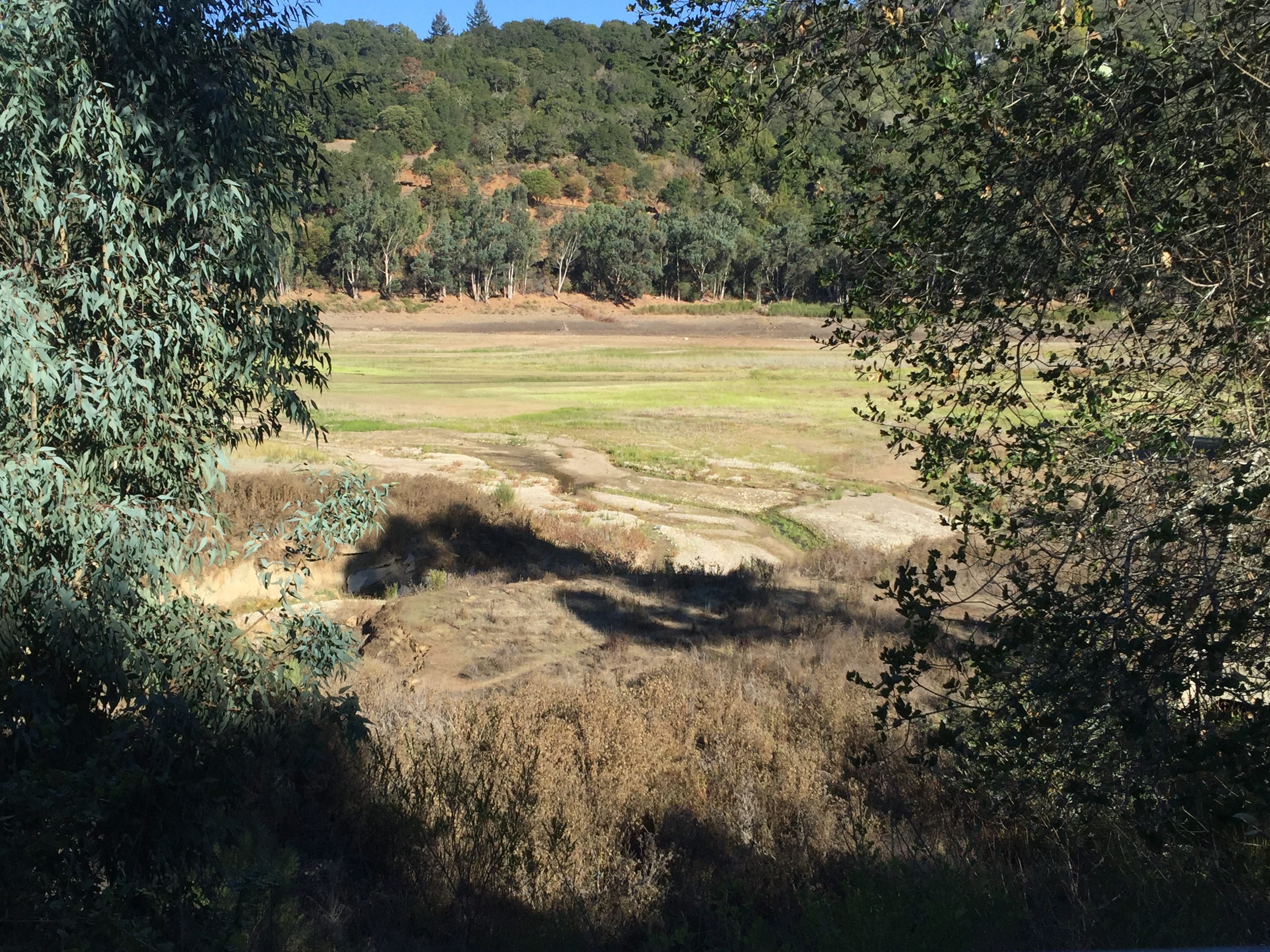
Upper Lexington Reservoir
That’s it! 22 miles and 2700 vertical feet. Strava link: https://www.strava.com/activities/431607493


")


Pingback: Schulties Road, Laurel, Redwood Lodge, Skyland Church (Los Gatos, Summit Road) | AlphaRoaming
You can take a side trip off Summit Road down Morrill Road to Wrights Station Road to see the north portal of the summit tunnel. Return to Summit by going back up Wrights Station but then turn right at Morrill Road to climb back up to Summit Road
I’ve been to 7 of the 8 portals, from
Wright’s Station to Zayante, with minimal trespassing! 🤔