
A quick blog post, with some photos, to call out attention to a place I knew little about until past week. “Rancho Corral de Tierra” is a part of the GGNRA (Golden Gate National Recreation Area) near Half Moon Bay. We were quite shocked at how steep it was at the higher elevations, including many “ups and downs” that we didn’t plan on.
It’s just south of Montara Mountain, but there’s no marked trail connection around the tightly protected San Francisco Water Company land in between. (See comment below from KenZ on a route for an “obscure” connection)
http://www.nps.gov/goga/rcdt.htm
We did a big CCW loop that isn’t even shown on the official map http://www.nps.gov/goga/upload/map-rcdt-4color-2013-0703.pdf but is visible on Open Street Maps. If you’re a Geocacher, there are also”navigation beacons”!
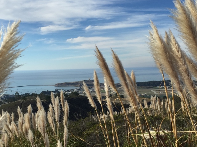
We parked at the end of “Coral Reef Avenue” and commenced our climb. The views rapidly got better as we saw some unfamiliar patches of (what I think is) Pampas Grass.

Up we go through the Pampas Grass (or something like that!)

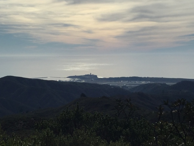
Nice view of the radar dome and the HMB airport as we ascend
Eventually we got up to a trail junction and spotted the low green building off to the right. I believe this is the recently closed “Half Moon Bay Gun Club”, according to a geocaching acquaintance. It wasn’t totally vandalized inside yet, with cookware and some recently expired canned food inside.

Small detour to the (recently closed) HMB gun range

“Wrong place, wrong time” at the gun range
We passed the gun club, circled left, and summitted at the communications tower.

The summit!
After poking around and looking east to the SF Bay, we backtracked all the way back to the Gun Club.
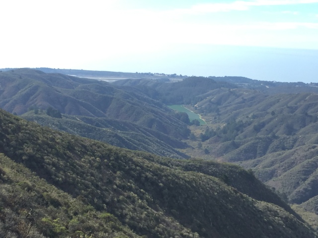
Approximate halfway point. We’ll return on the ridge to the right of that “lake”, which is actually a vegetable field!
Yup, there is no easy & legal way to connect to Montara Mountain from up here. (See comment from KenZ below, however…)

Looking at the waves breaking down the coastline
From there we continued our CCW loop. This is where the unexpected terrain started. Up and down, up and down…
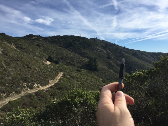
The tip of the pen shows the steepness from where we came
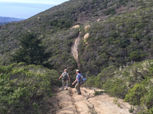
Nasty steep, right foot first!
The sun is getting lower and reflecting off the ocean.
Nicely composed photo of the radar dome and airport to the right.
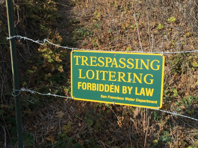
Down, down, down, we went into the sunset. What we thought would be a quick shot straight to Highway 1 as we descended was not. It was “Posted” and we had to detour a few extra miles to get back to highway 1. We then walked on the shoulder of the highway for about 2 miles and back to the car! Study the route on the Strava link and allow plenty of time and water!
Strava link. 14 miles and 2600 feet, but it seemed much more! https://www.strava.com/activities/437703884


")


“It’s just south of Montara Mountain, but does not connect due to the tightly protected San Francisco Water Company land in between.”
That is actually not true. You CAN get to/from Montara Mtn without going through the water company property. Just as you were on a trail with no official designation….
Using your strava map as a guide, you came along the Scarpers Trail and then turned left down the Spine Trail. Don’t turn left. Scarpers keeps going, and gets progressively more dense/LOTS of poison oak, but eventually breaks out at power line tower. And then… you go up. This is where, on the Strava map, the dotted Scarpers trail seems to take a hard right. If you thought the other stuff was steep…. now keep following that trail, which is haphazardly marked with purple ribbon occasionally. Strava at this point shows the trail intersecting the water company road, but you don’t. You join another dirt road which skirts the off limits water company property and roads, that then goes over a few hills/rollers, just to the right/east of South Peak, goes down a slight hill, turns a hard left, then another hard right and you climb up to intersect N Peak Access Road, just to the west of the final climb to North Peak.
I’ve done this several times. It works, and it’s legal. I’ve also gotten hosed by poison oak the first two times before I realized what I was getting into.