
(Dec 2018 update: Here is a great 20 minute video of the Amargosa River https://vimeo.com/303206781 )
I recently did a big road trip through the eastern edge of California. Travelling from south to north, I went from the Mojave Preserve, up to the Sonora Pass, just north of Yosemite.
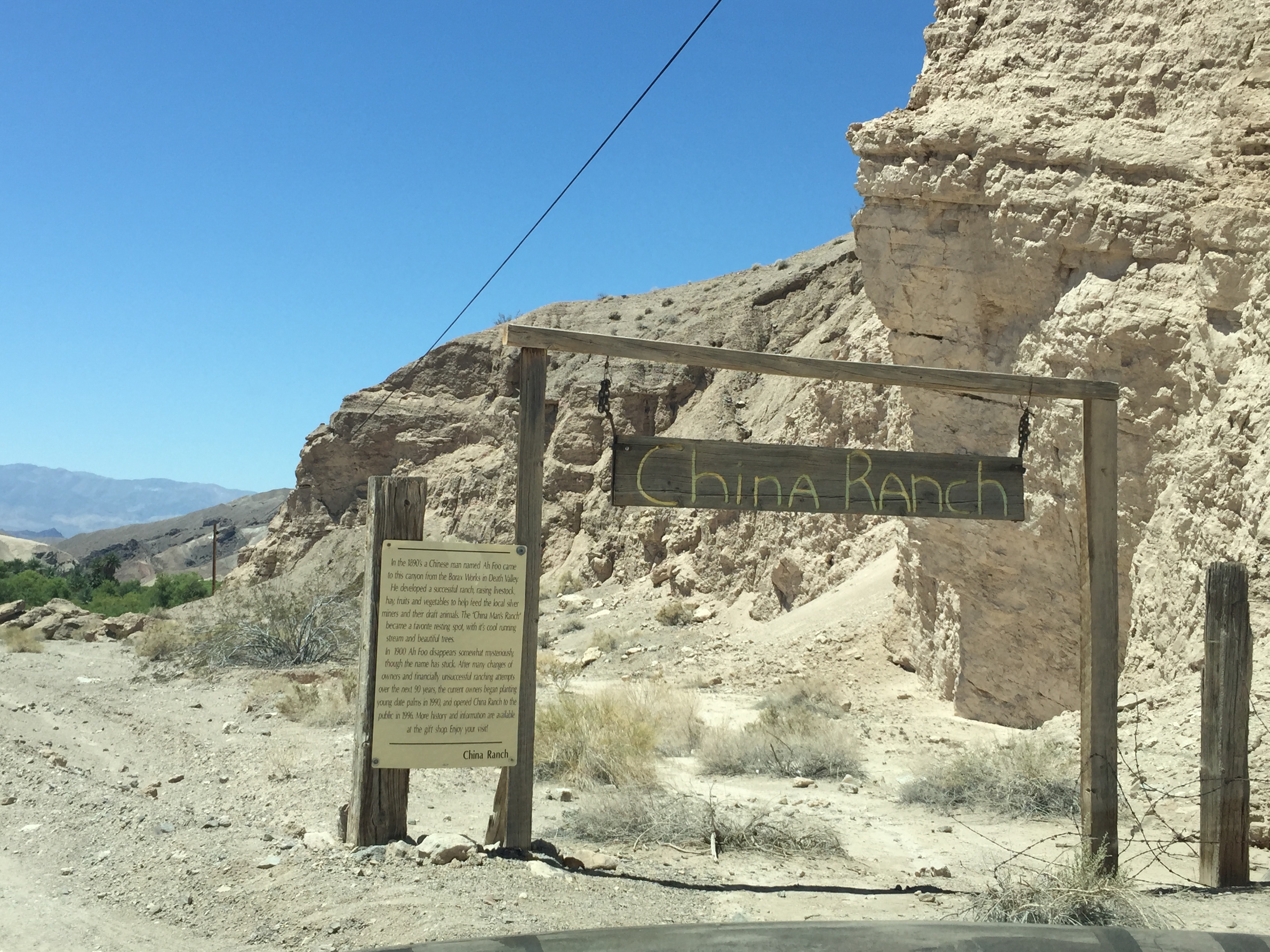
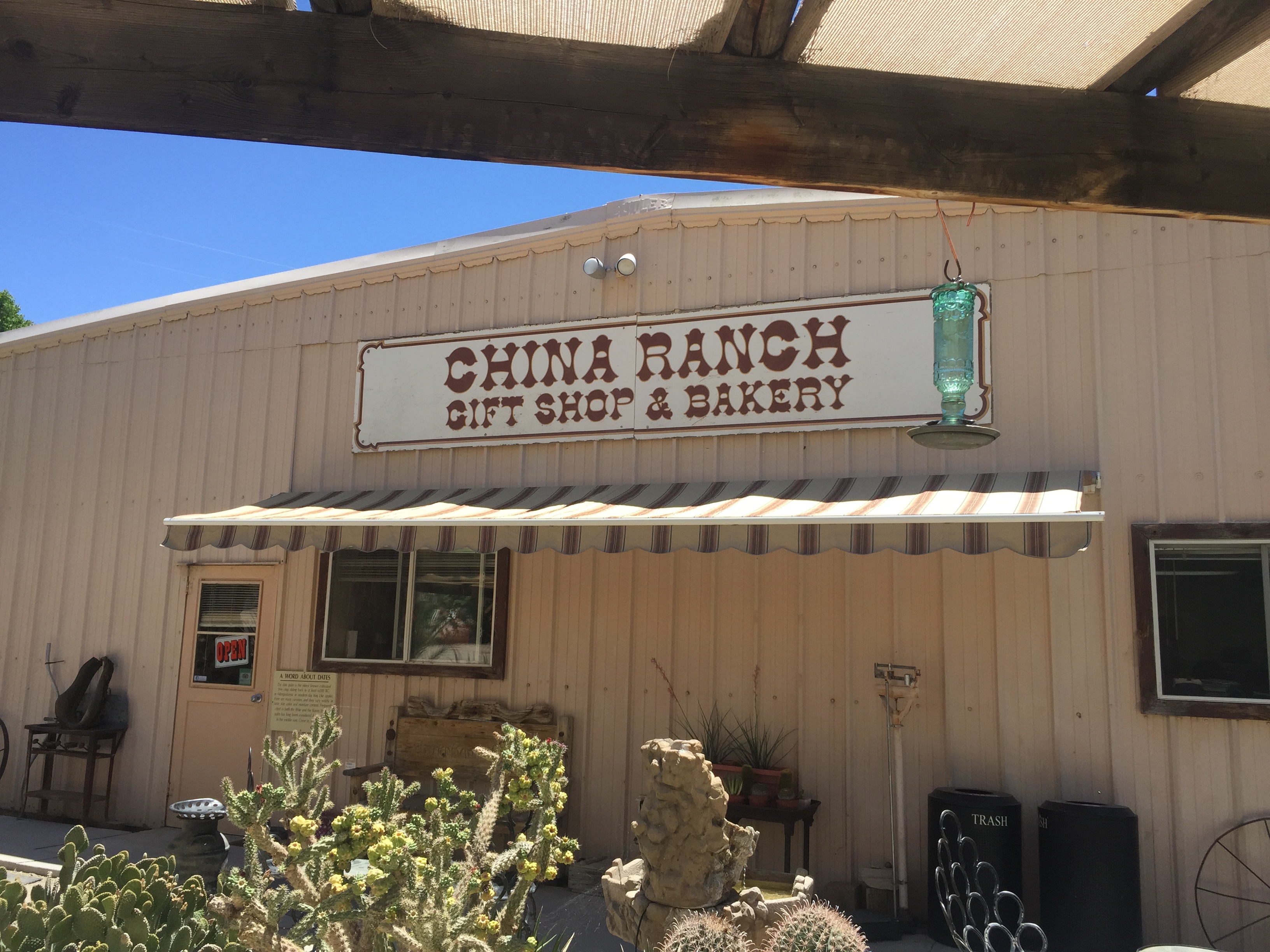
One of my stops was at the “China Ranch Date Farm” near the southeast corner of Death Valley. https://www.chinaranch.com/ I had heard and read about this desert oasis, including from the DryCyclist http://deathvalley2007.drycyclist.com/china-ranch/ and from Calipidder! http://calipidder.com/wp/2009/12/china-ranch-date-farm-and-the-cabin/
After camping at Mid-Hills in the Mojave Preserve (http://www.nps.gov/moja/index.htm) and a reading of 99F degrees at 10:20AM in Baker, I blasted north in the car towards Tecopa and followed the signs to China Ranch.

The giant thermometer in Baker (99F at 10:20AM)

The road north out of
Baker
It was about 108F degrees when I got to China Ranch. Perfect for a stroll along the Amargosa River!
Heading down into China Ranch

Follow the signs!
Remote and Air Conditioned!
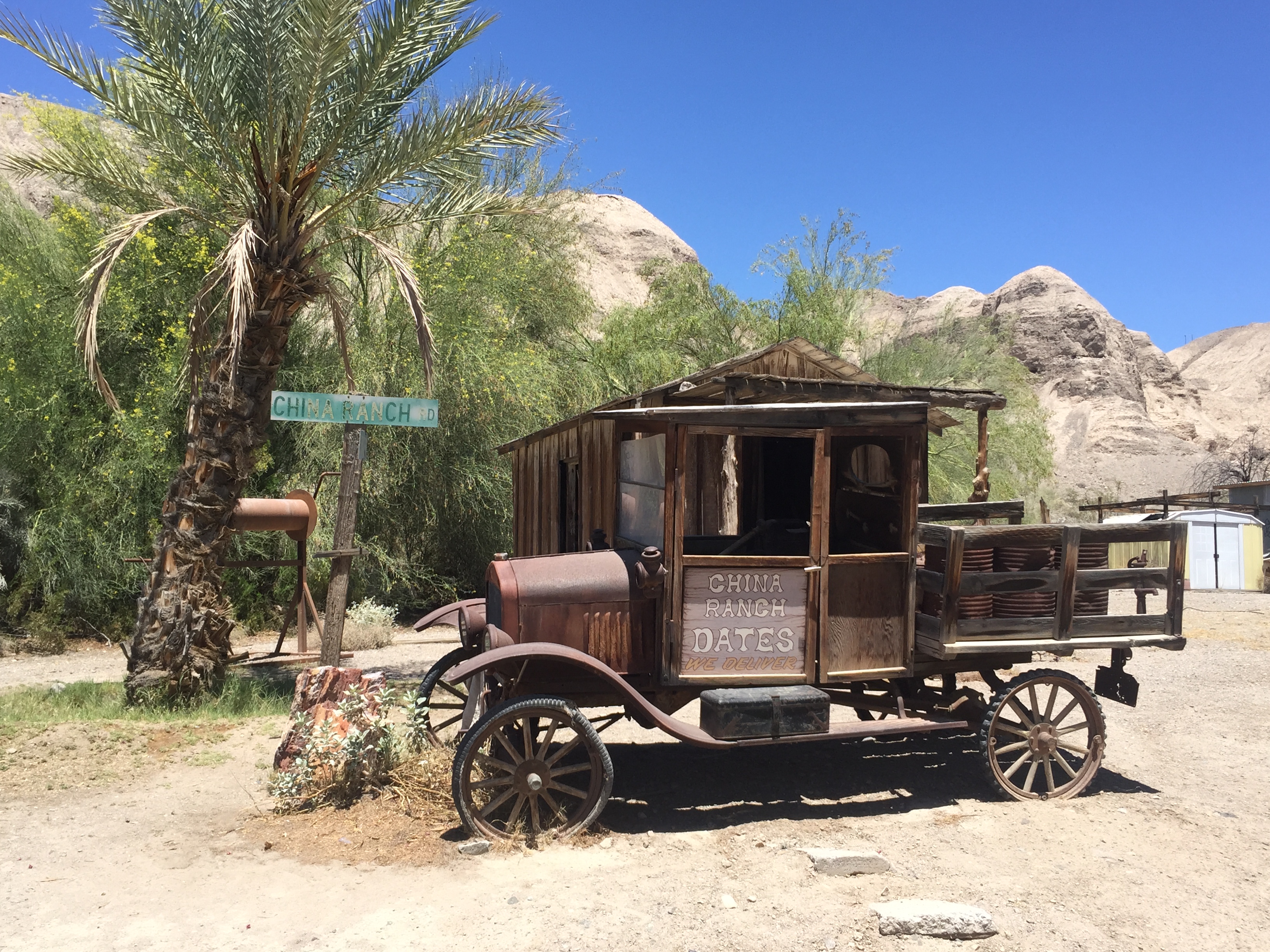
A quirky bit of their decor!
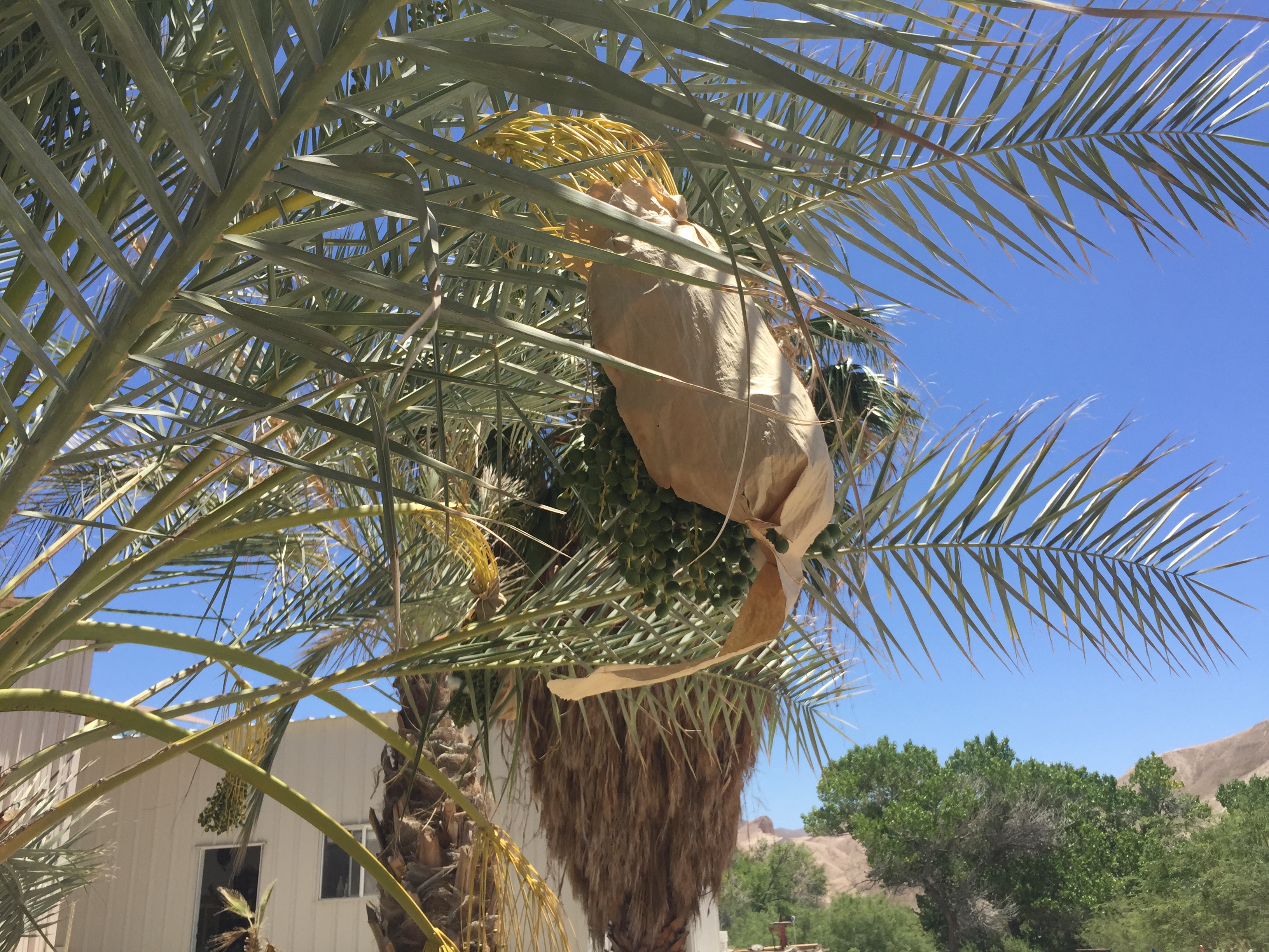
Dates, wrapped-up to protect them
Enough about the Date Farm. Go, buy a shake or a loaf of date bread, talk to the nice people…back to my main point: The RIVER!
I strolled in the heat, just a bit downhill from China Ranch, and passed a few old signs of human habitation
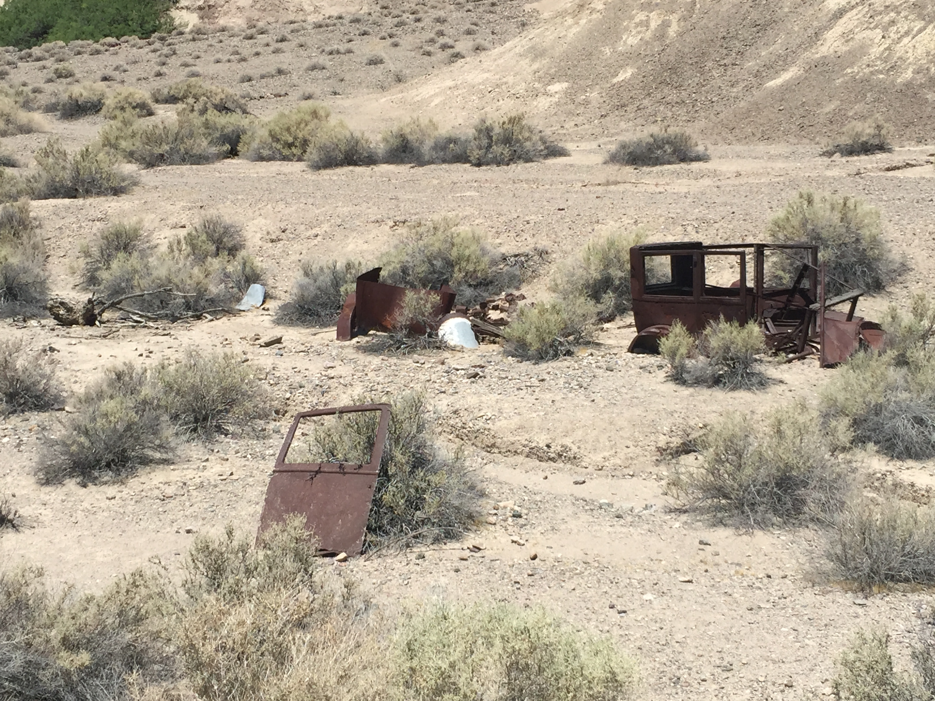
Relics!
…and then saw the huge green streak against the barren valley walls. There must be water here, at least occasionally!
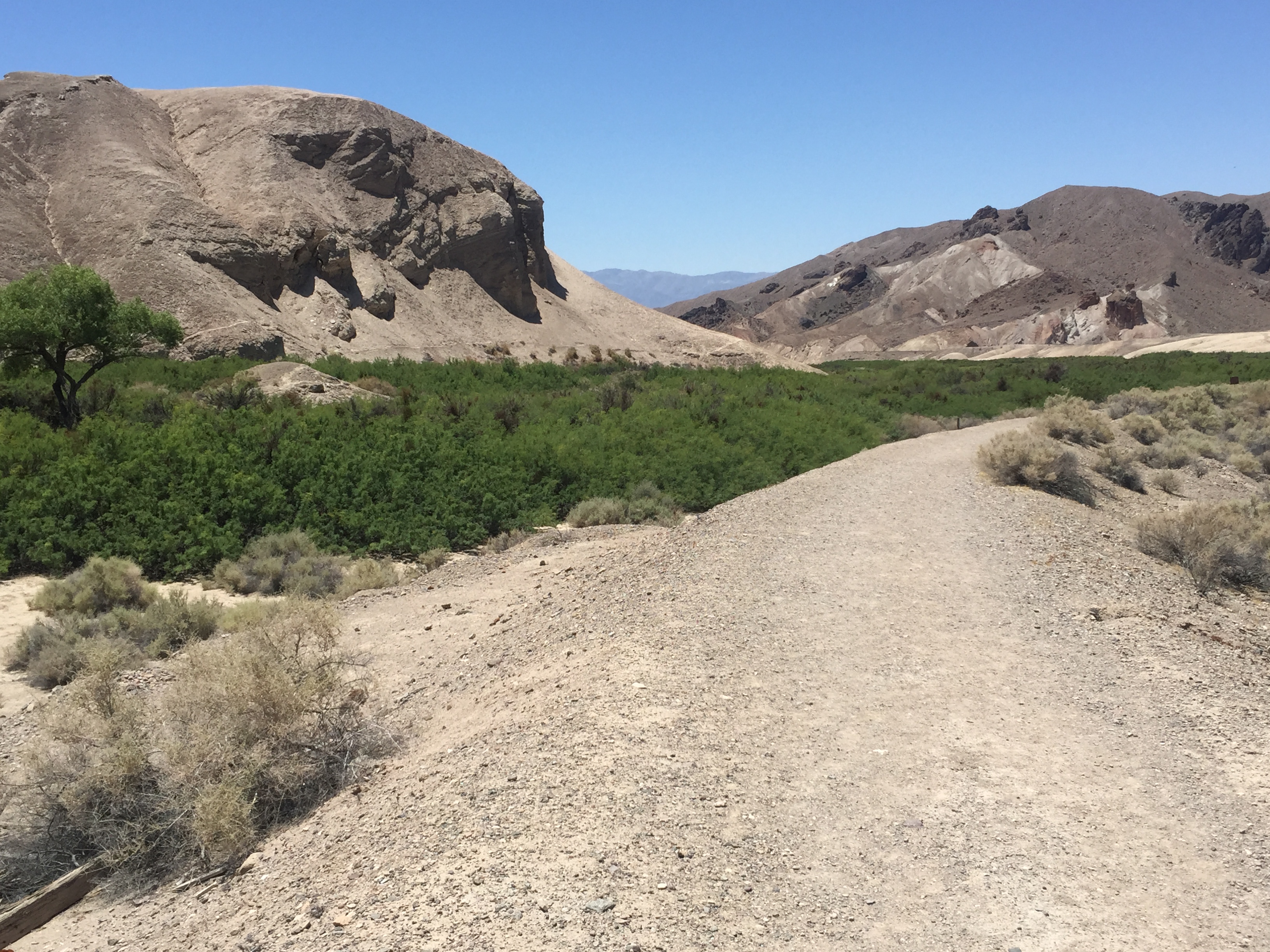
The Amargosa River, looking downstream from China Ranch
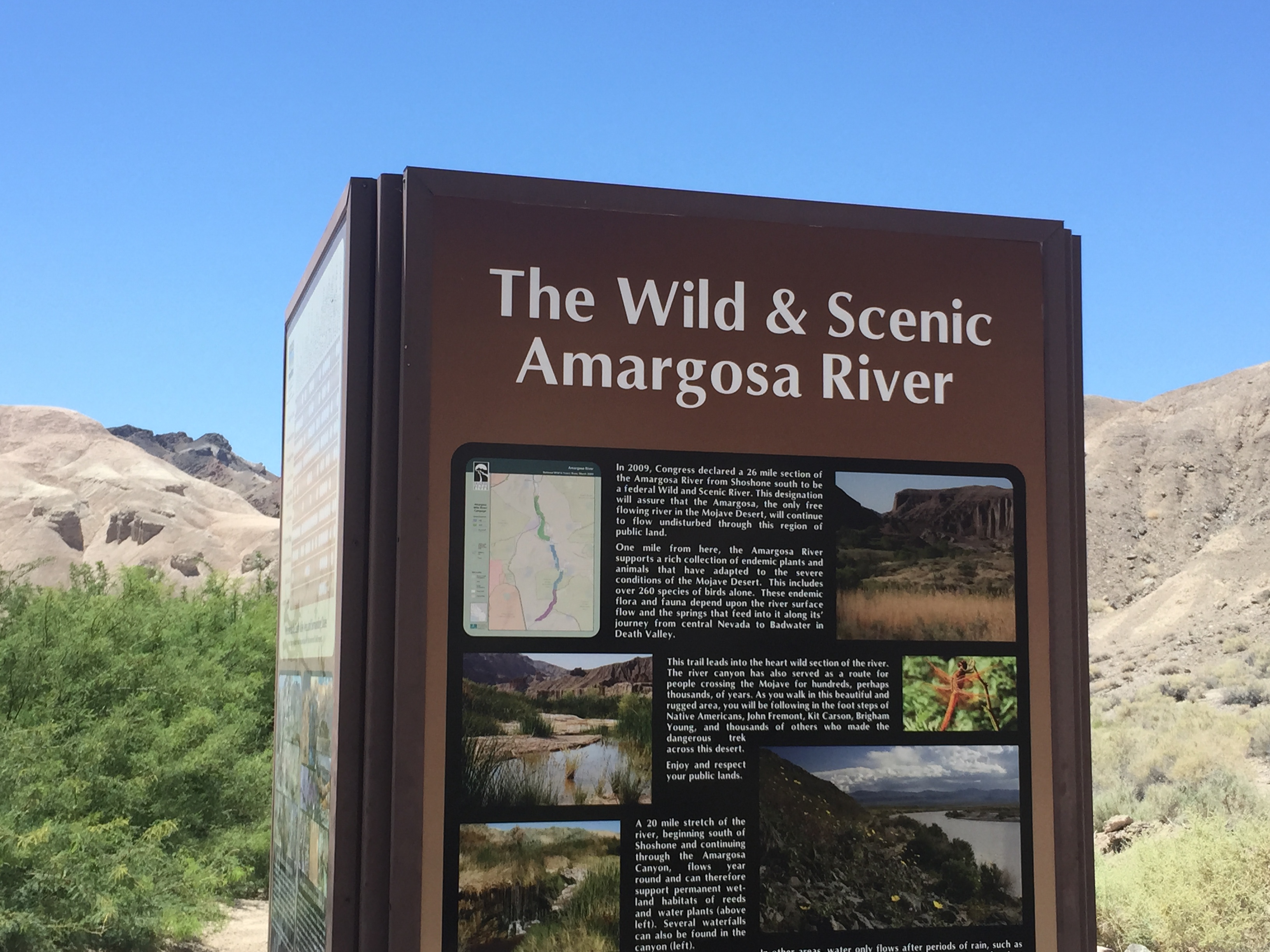
A sign explaining it’s an “Area of Critical Environmental Concern”, as well as giving credit to the Nature Conservancy and China Ranch for their contributions.
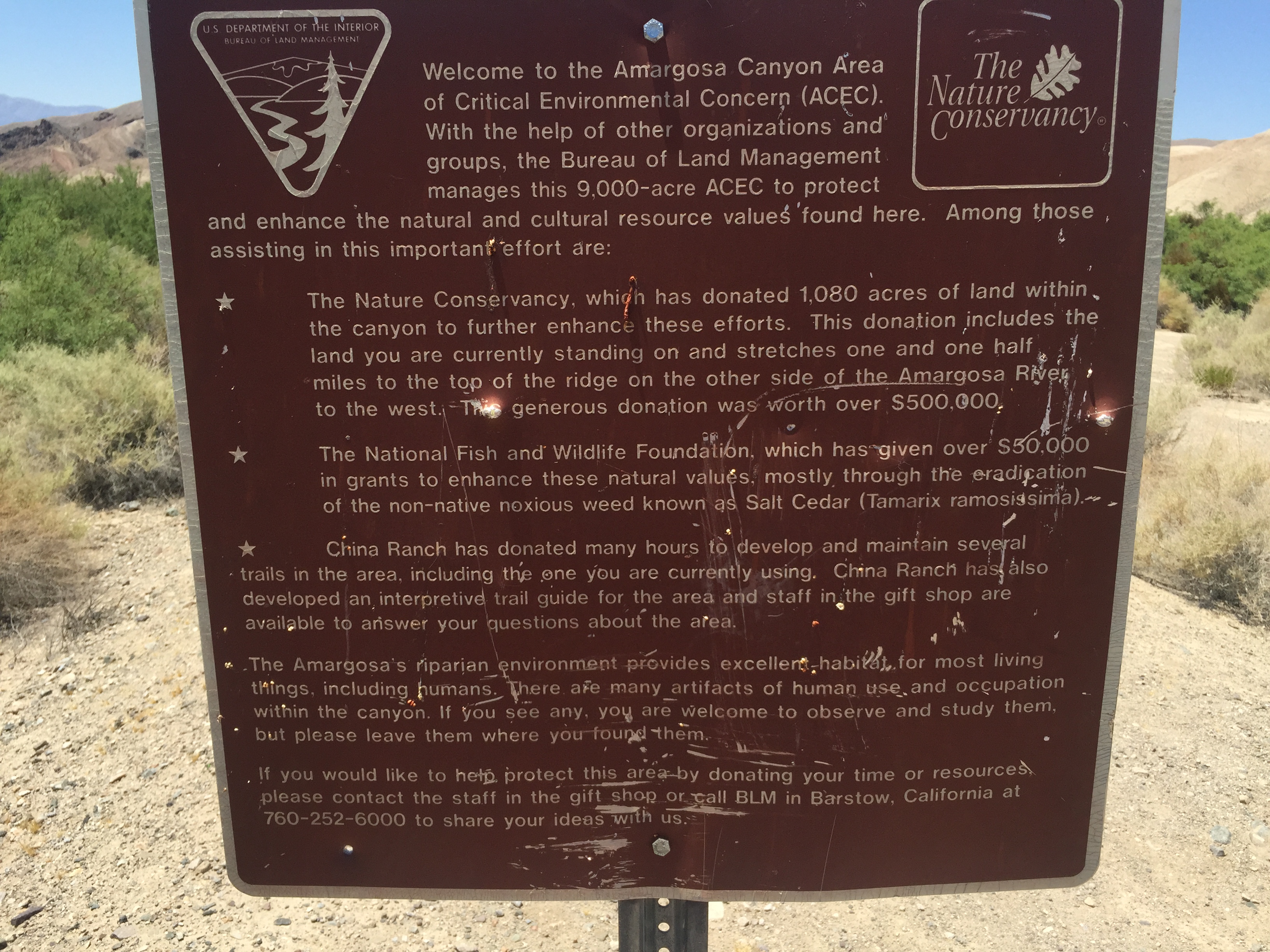
Area of Critical Environmental Concern
…descending down into the mass of green, yields some human pathways and flowing water! I could hear it before I saw it.. (BTW, did I mention it was hot and two species of large biting flies were screaming “lunch!” and attacking me? I slapped at least a dozen and had no lasting bite marks, but they did keep me alert and moving!)

Flowing water (look closely!)
I re-crossed the river at a different spot, looked around a bit, and headed back to safety. I enjoyed my visit! I had a shake, took a short hike, re-entered the building to cool off, and hit the road!
Later in the day I visited Ash Meadows, just across the border to the NE in Nevada. It too is a fascinating desert oasis, which I discovered is also a part of the Amargosa River system! http://www.fws.gov/refuge/ash_meadows/
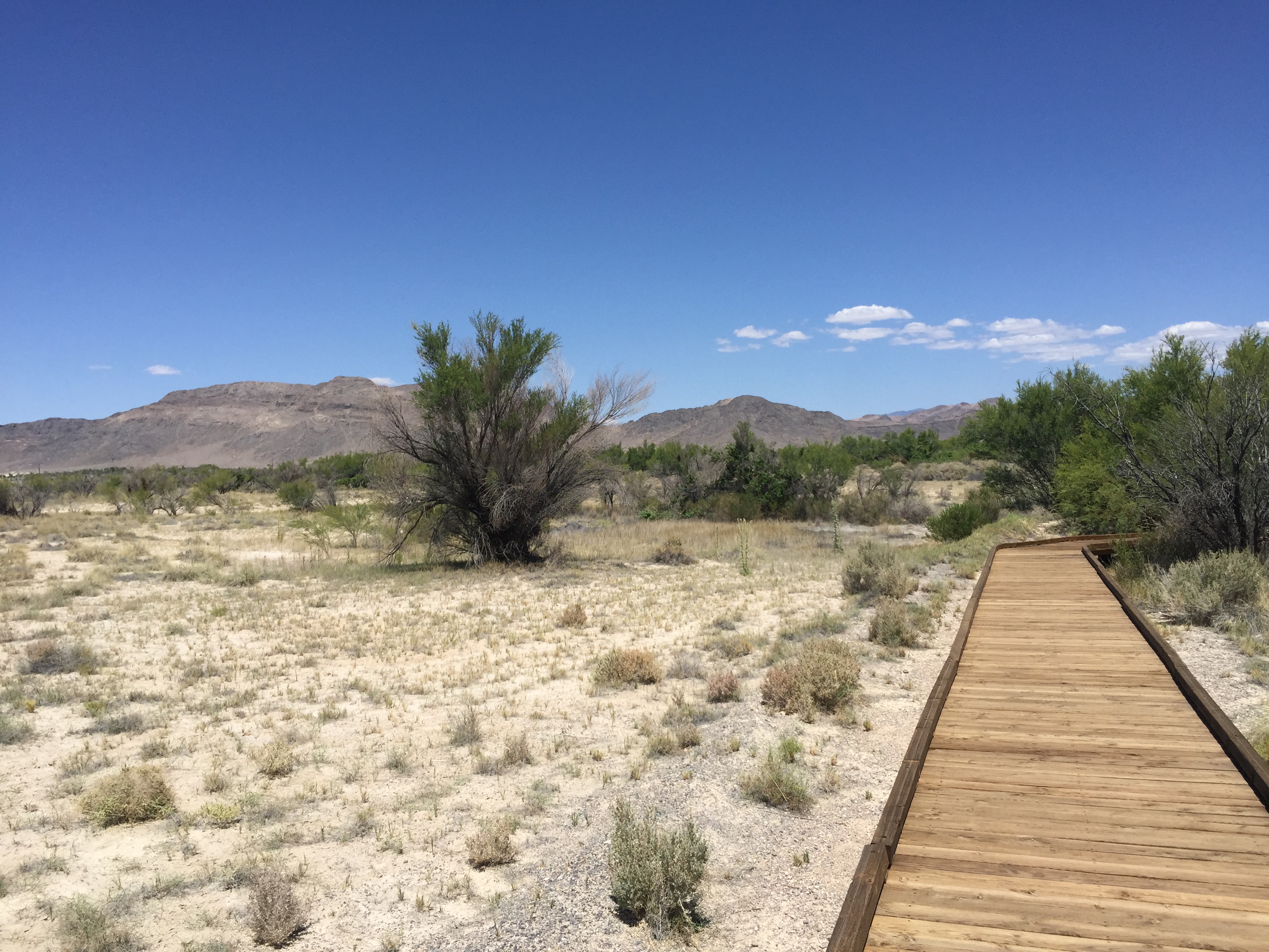
Boardwalk from the Visitor’s Center
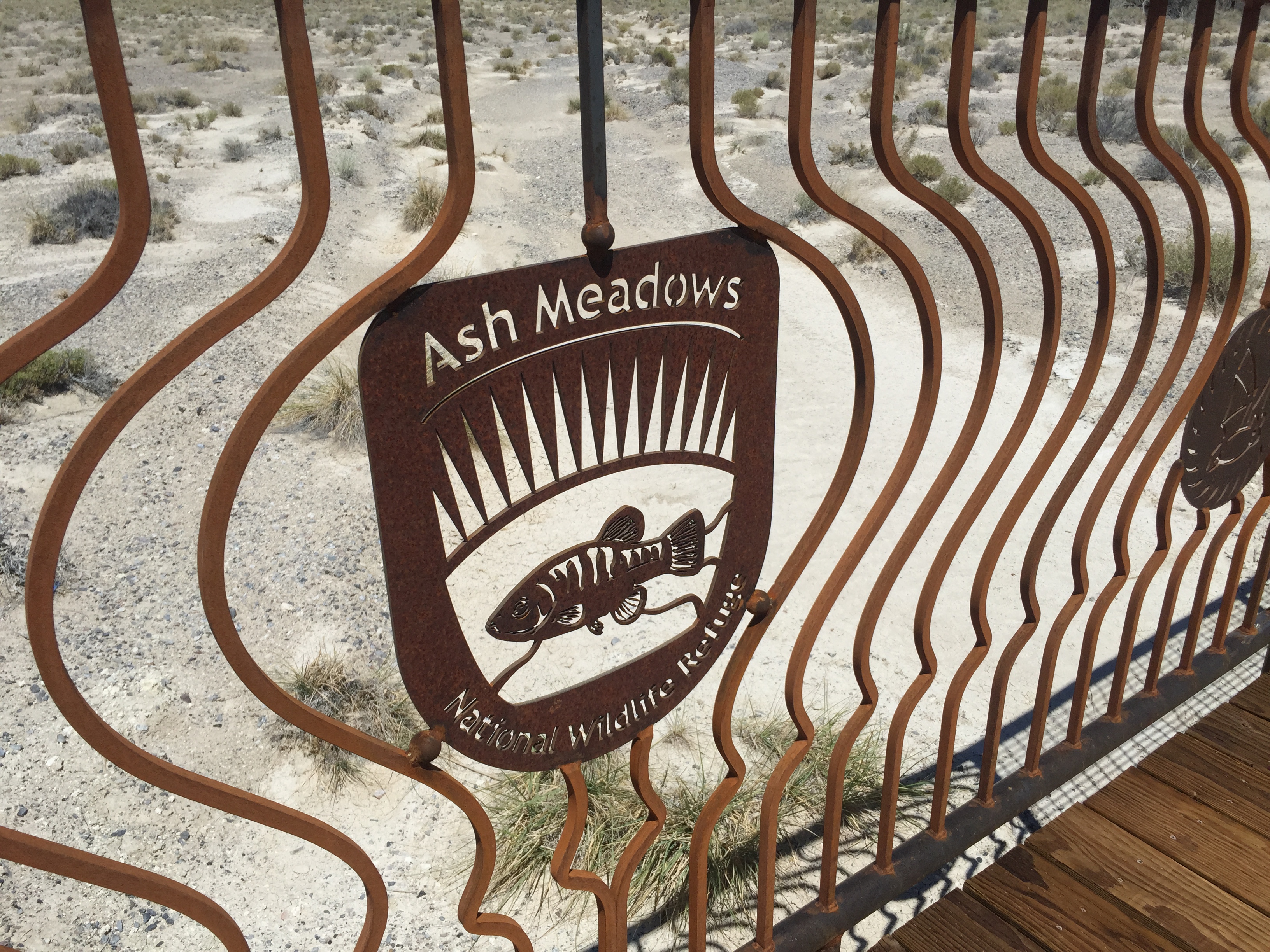
Railing on the boardwalk “Ash Meadows National Wildlife Refuge”
A huge amount of water is gushing out of the ~2 foot gravel hole here. There is no visible “upstream” from this point, but a pleasant life-giving stream which starts here. (Yes, I did see some endangered Pupfish here, too. They look a bit like aquarium guppies and have survived thousands of years in these isolated desert oases.)

~2 foot gravel hole in the middle is gushing with ~2000 gallons/minute of water
After Ash Meadows, I passed the turnoff to Saratoga Springs, and headed north to Furnace Creek and Stovepipe Wells, where it was 115F degrees, and I kept on driving!
After returning home, I started studying a bit about the Amargosa River system. I found it fascinating enough that I decided to present more info!
The river is mostly underground, with a few exceptions of Ash Meadows, China Ranch area, and Saratoga Springs. The places I coincidentally visited or passed by on my trip!
In the picture below, the River starts in the high desert of Nevada and moves underground to the “Amargosa Desert” area near Ash Meadows, where some of it flows out of the ground. It then continues south to Tecopa and the China Ranch area. where it again becomes visible, at the “Amargosa Canyon”. From there, it loops north and expresses itself as Saratoga Springs, before heading further north and west, ending in the Badwater basin of Death Valley.
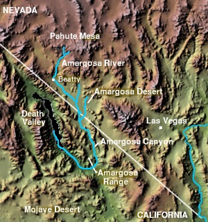
Amargosa River (from Wikipedia)
Here’a a link to the BLM’s page, with another map type: http://www.blm.gov/ca/st/en/fo/barstow/amargosa.html
The river is mostly underground, except for the rare rainfalls when it becomes a surface drainage. The Ash Meadows signboards indicate that the water takes centuries to move underground through the system. The Nature Conservancy calls it “one of the world’s longest underground rivers” http://www.nature.org/ourinitiatives/regions/northamerica/unitedstates/nevada/placesweprotect/amargosa-river-project.xml
That’s about it! I found it fascinating that such an “intermittent” river system existed in this harsh environment. I was happy to to have seen the Ash Meadows and China Ranch areas and hope to visit Saratoga Springs on my next visit (…which will not take place when it’s 115F degrees!)


")


Thank you, this was really helpful – great photos too! I’m planning to hike the Amargosa River Trail through the canyon (6 miles) in the autumn, I’ll add Ash Meadows since it looks really charming. Happy trails to you!