Pacheco State Park on a Spring Day!

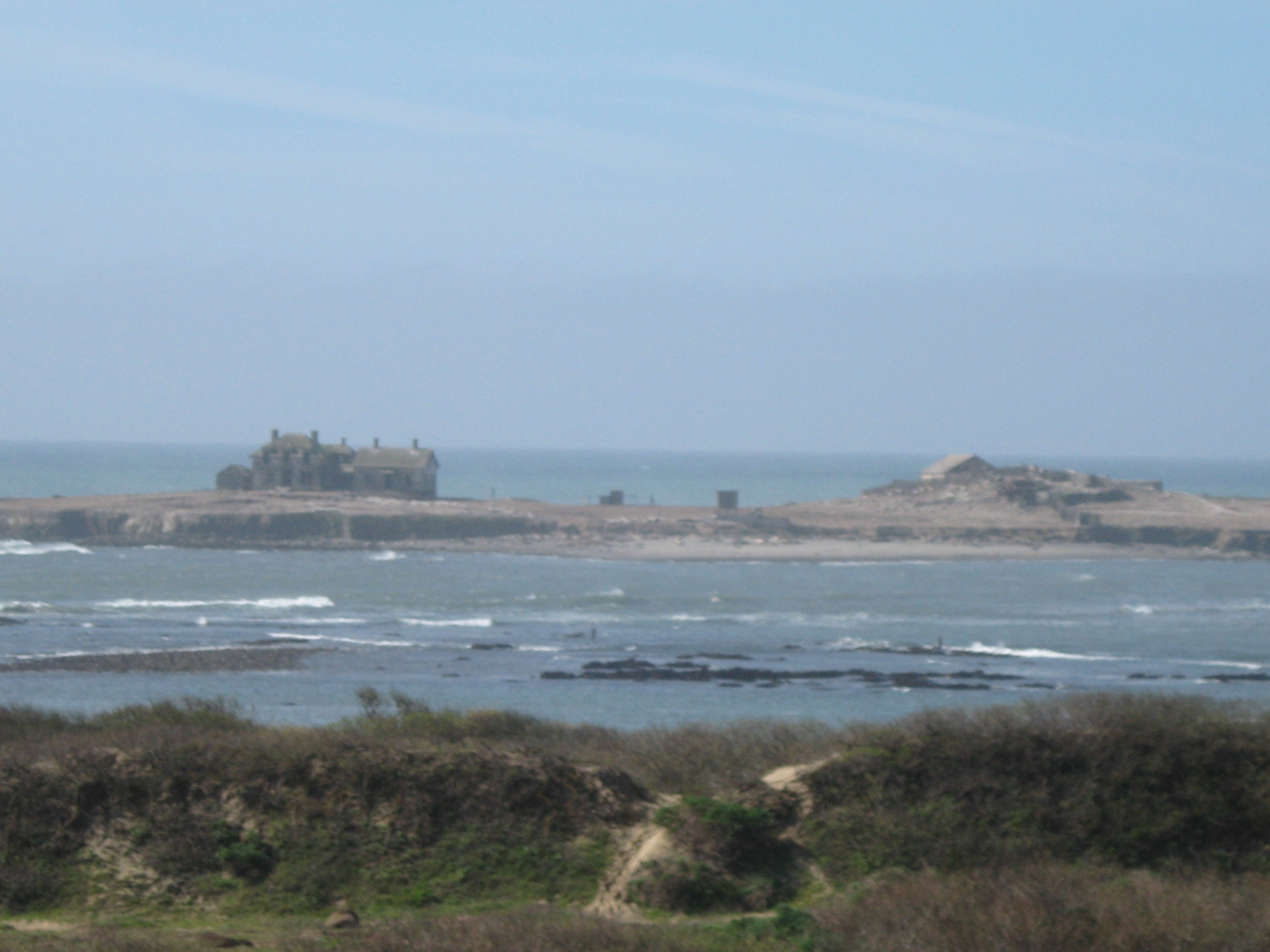
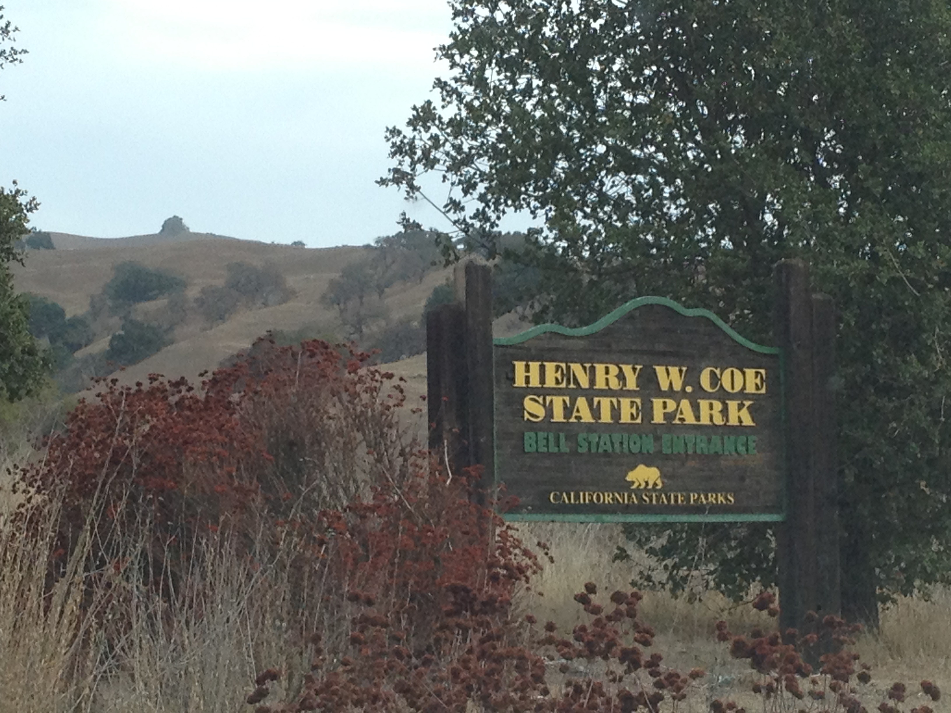
Pacheco State Park is not very well known in the California Bay Area. It’s just a bit southeast of the “slightly less unknown” and much bigger Henry Coe State Park. It’s just 5 miles east of the “Bell Station” entrance to Henry Coe State Park, where I’ve been many times.

IMG_9174

Pacheco State Park has a small sign marker (not the large one pictured above!) on the adjacent Pacheco Pass highway (Highway 152) that connects Gilroy with California’s immense Central Valley. It’s also adjacent to the western edge of the huge San Luis Reservior, which is much more visible and impressive to passing motorists. I’ve had a few friends visit the park recently, so I thought I’d take a look!

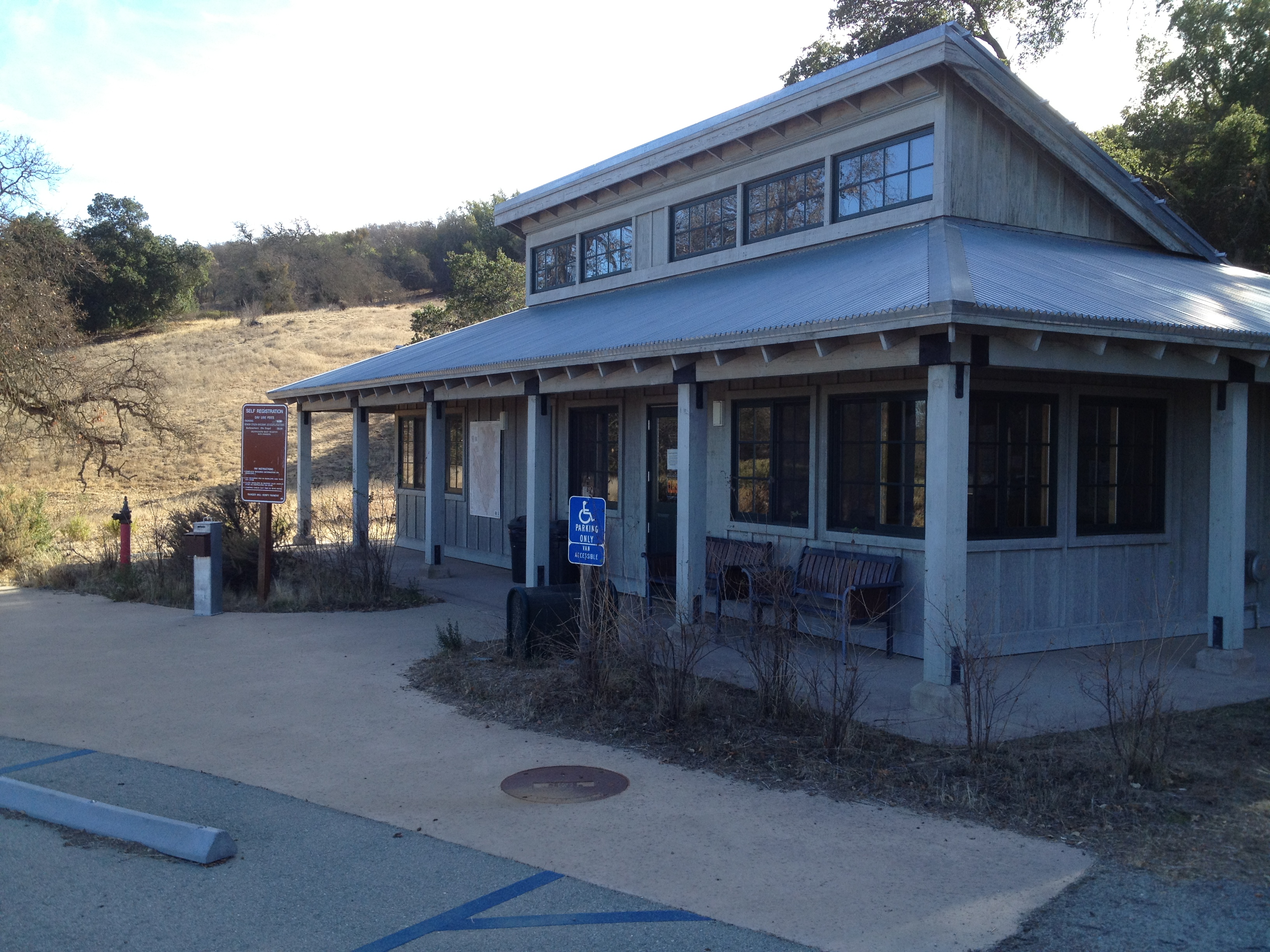
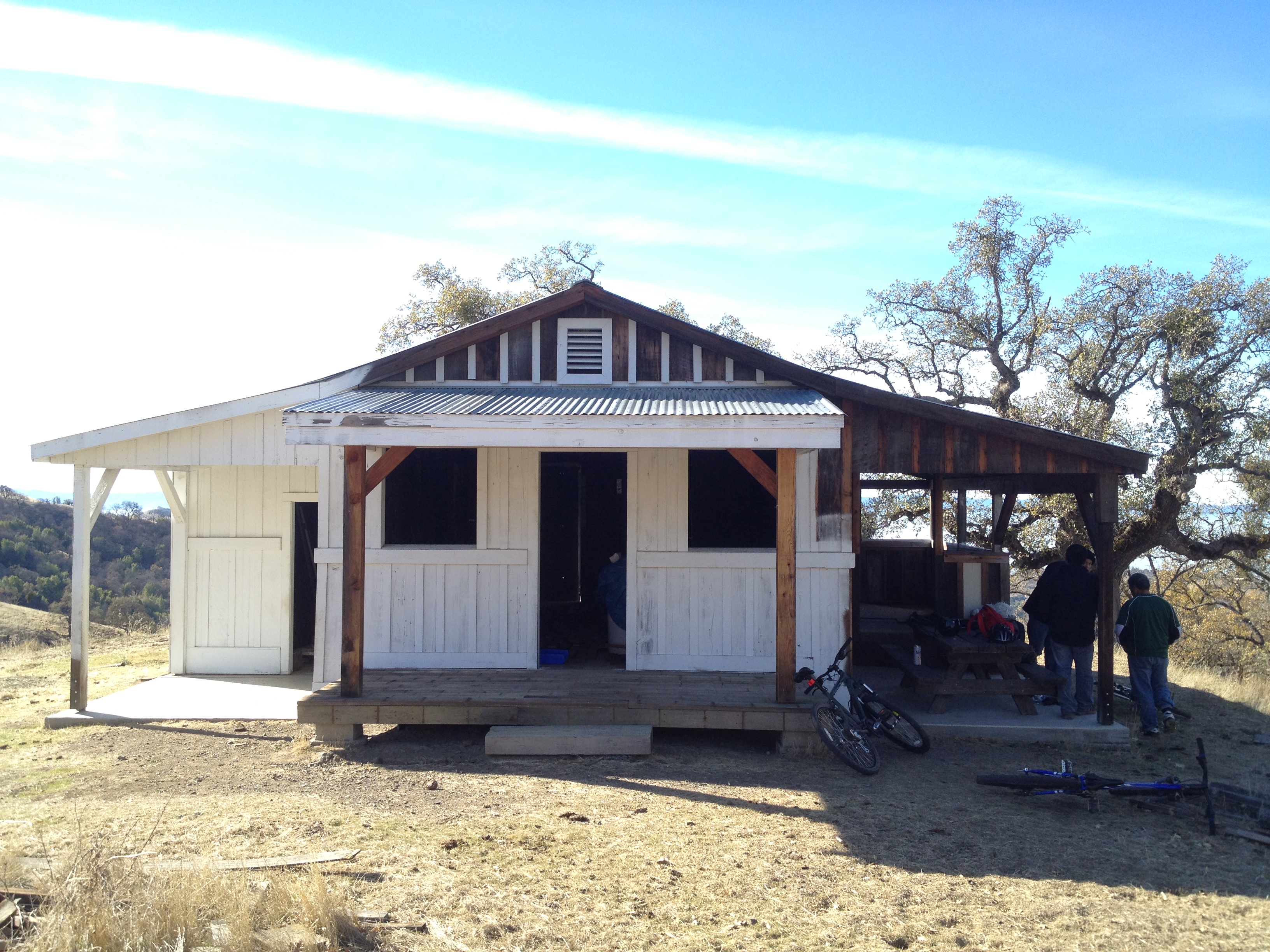
A pleasant parking area, with a toilet, trash barrels, and picnic tables. (However…no water and a slightly high “day use” fee of $10)

IMG_9135

The park is 6980 acres in size, though only 2600 acres are open, with some portions to the east being leased for wind turbines. Those 2600 acres are certainly enough to provide a long day hike to the southern boundary and back again!

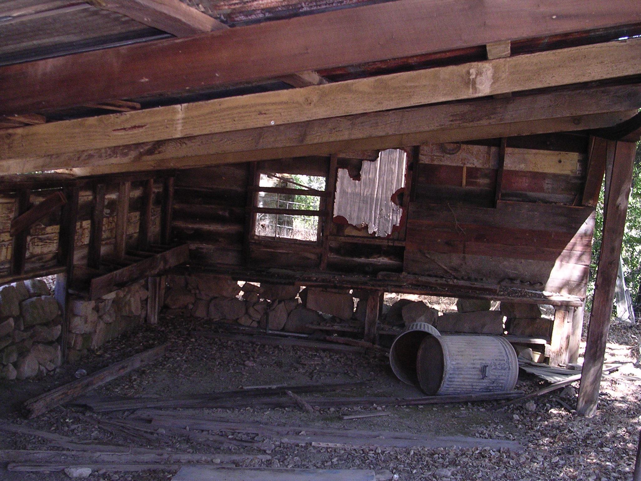
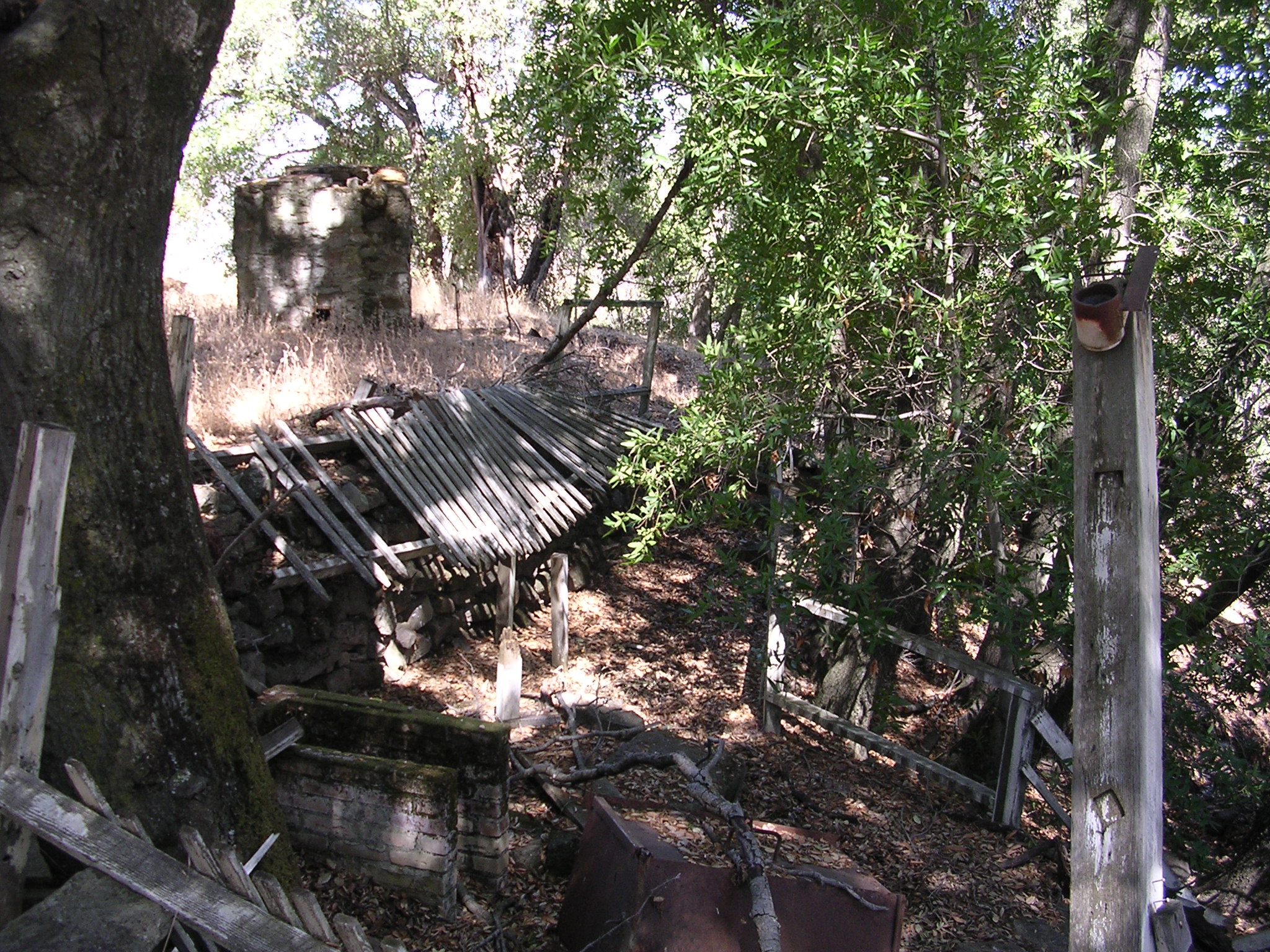
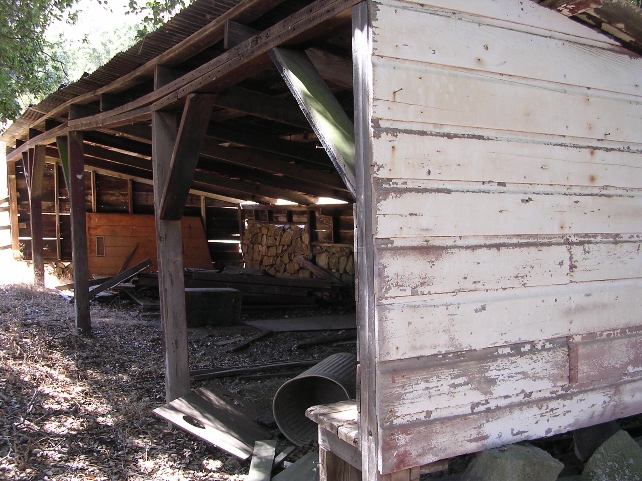
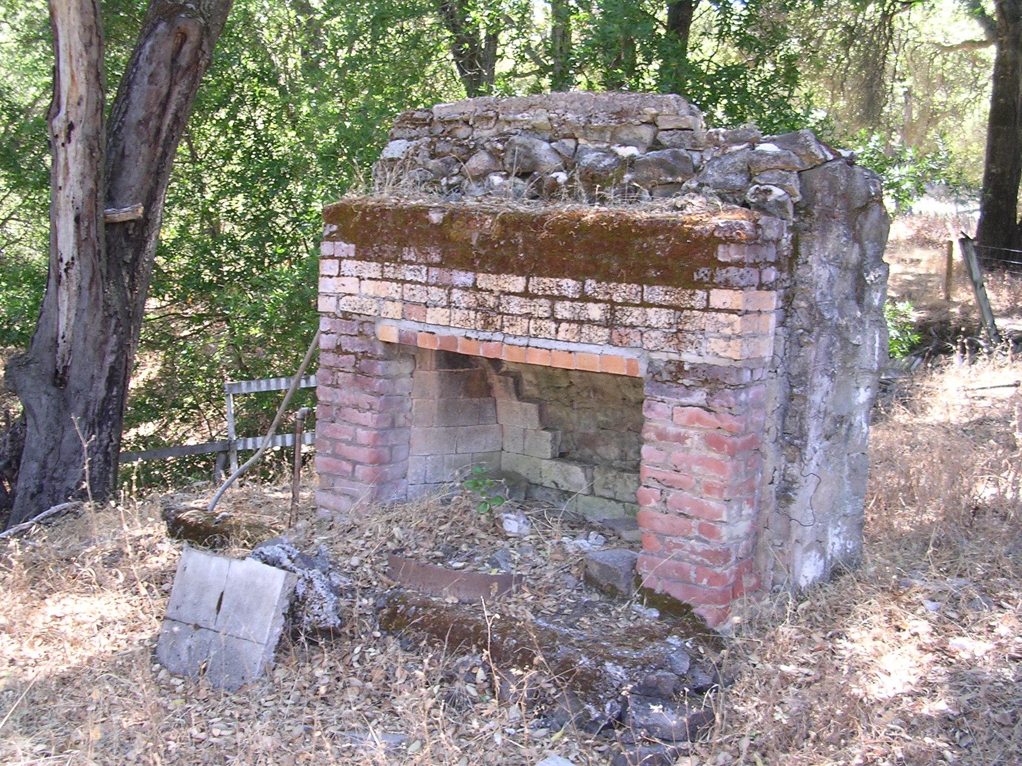
There’s alot of history relating to this land. It was part of a huge Mexican Land Grant, which included the first home ever built in Merced County, in 1843. The property remained in the same family until 1992, when the great-great-granddaughter of Francisco Pacheco donated it to the State. http://www.parks.ca.gov/?page_id=560

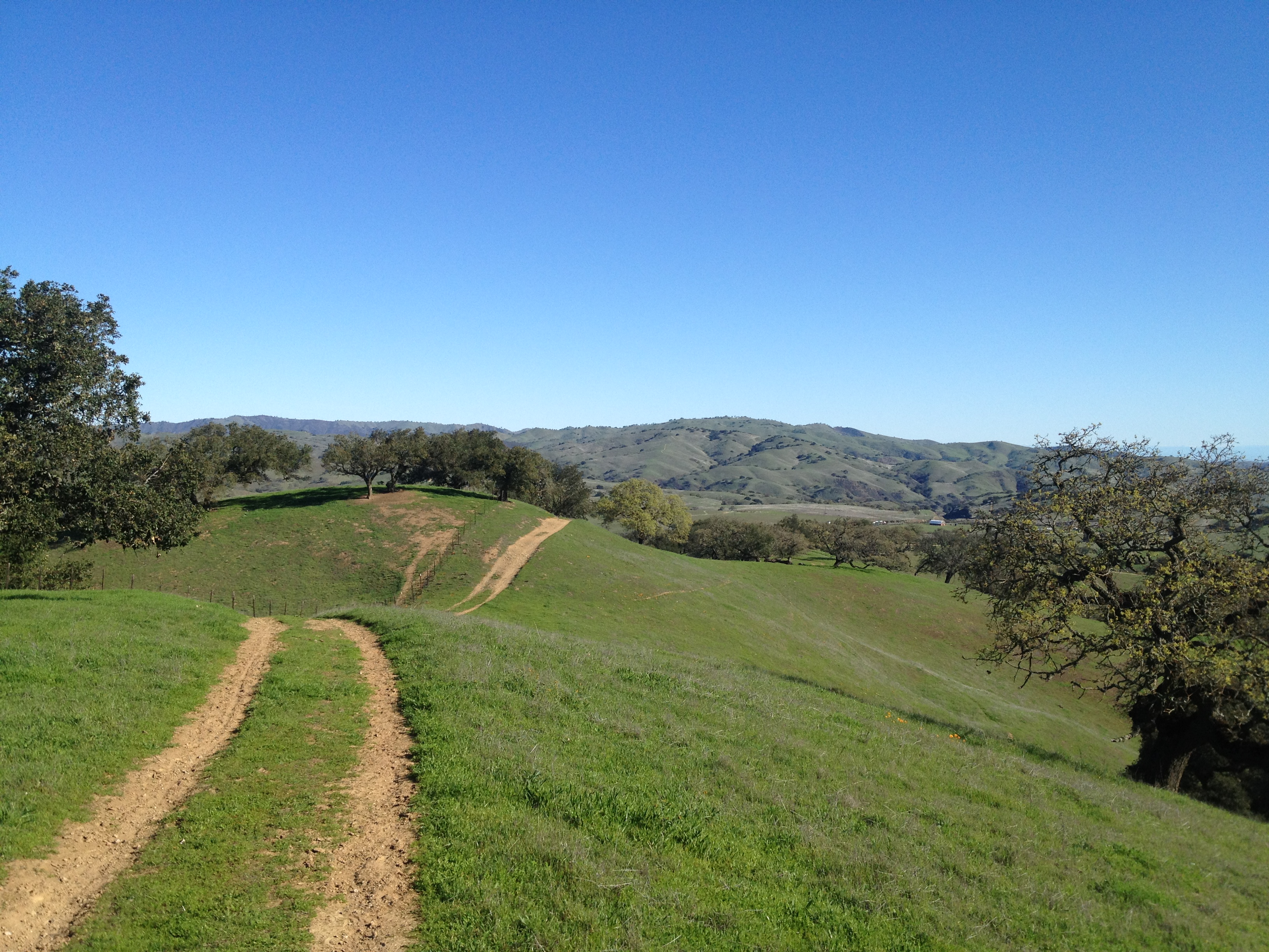
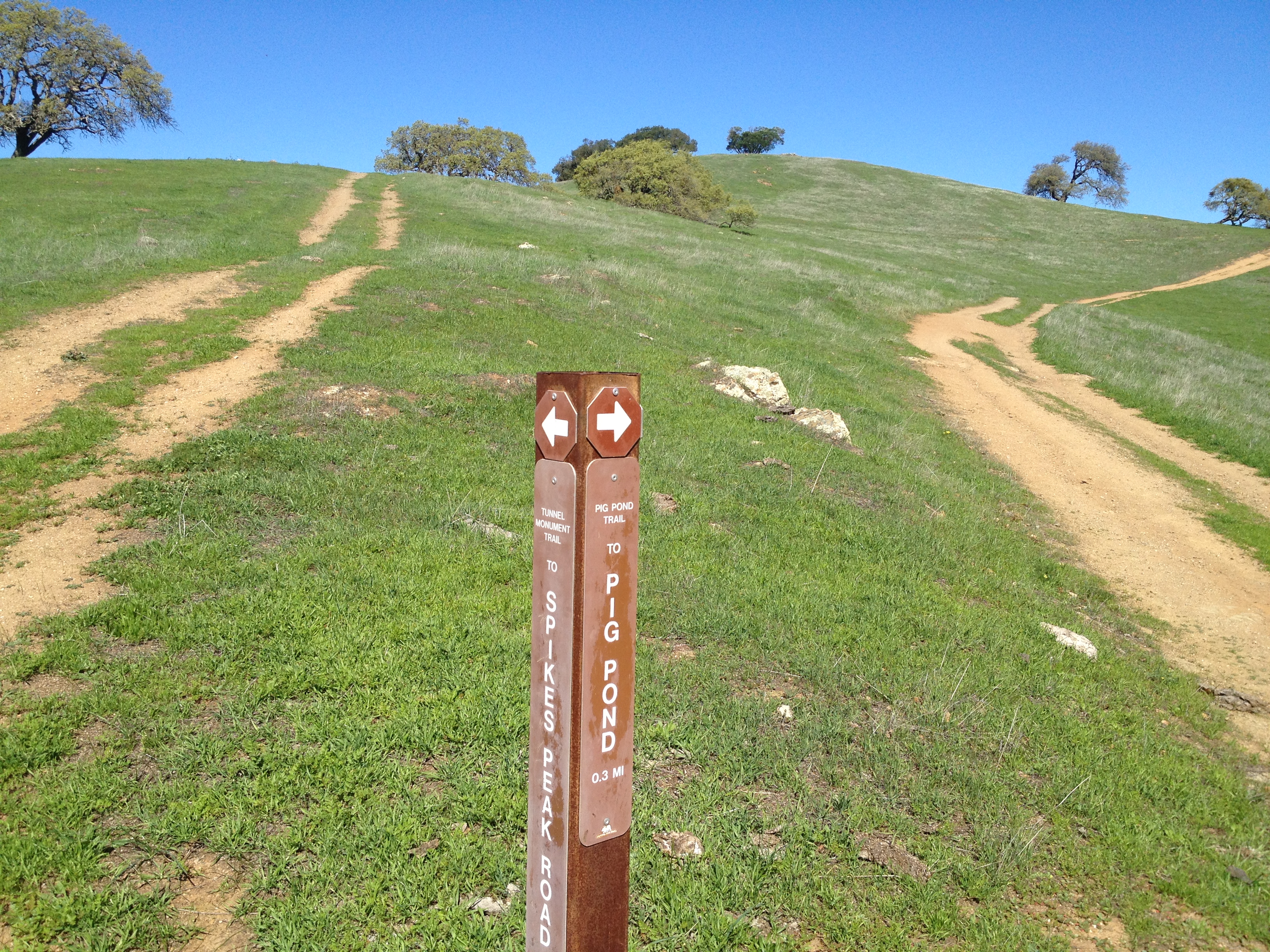
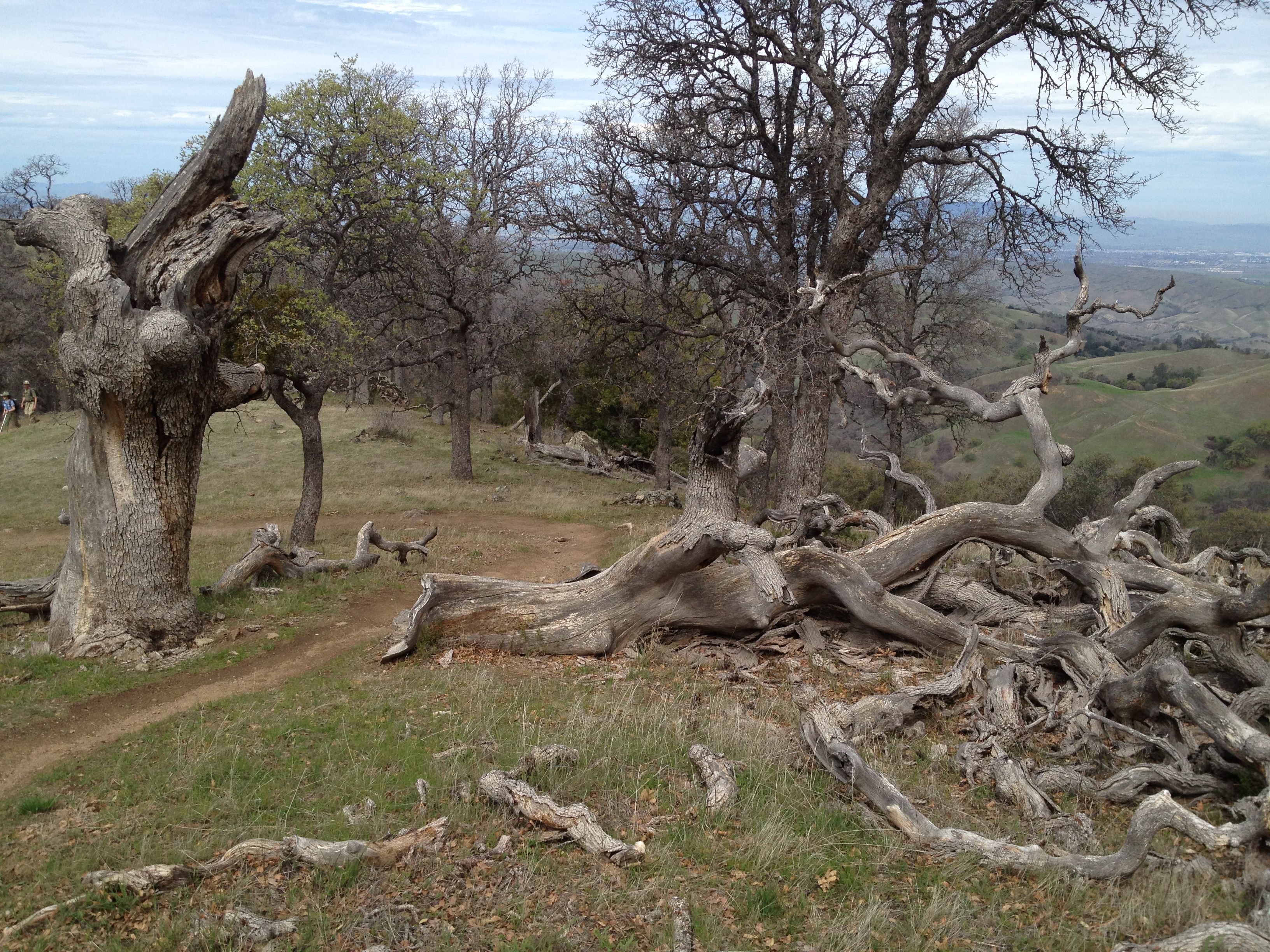
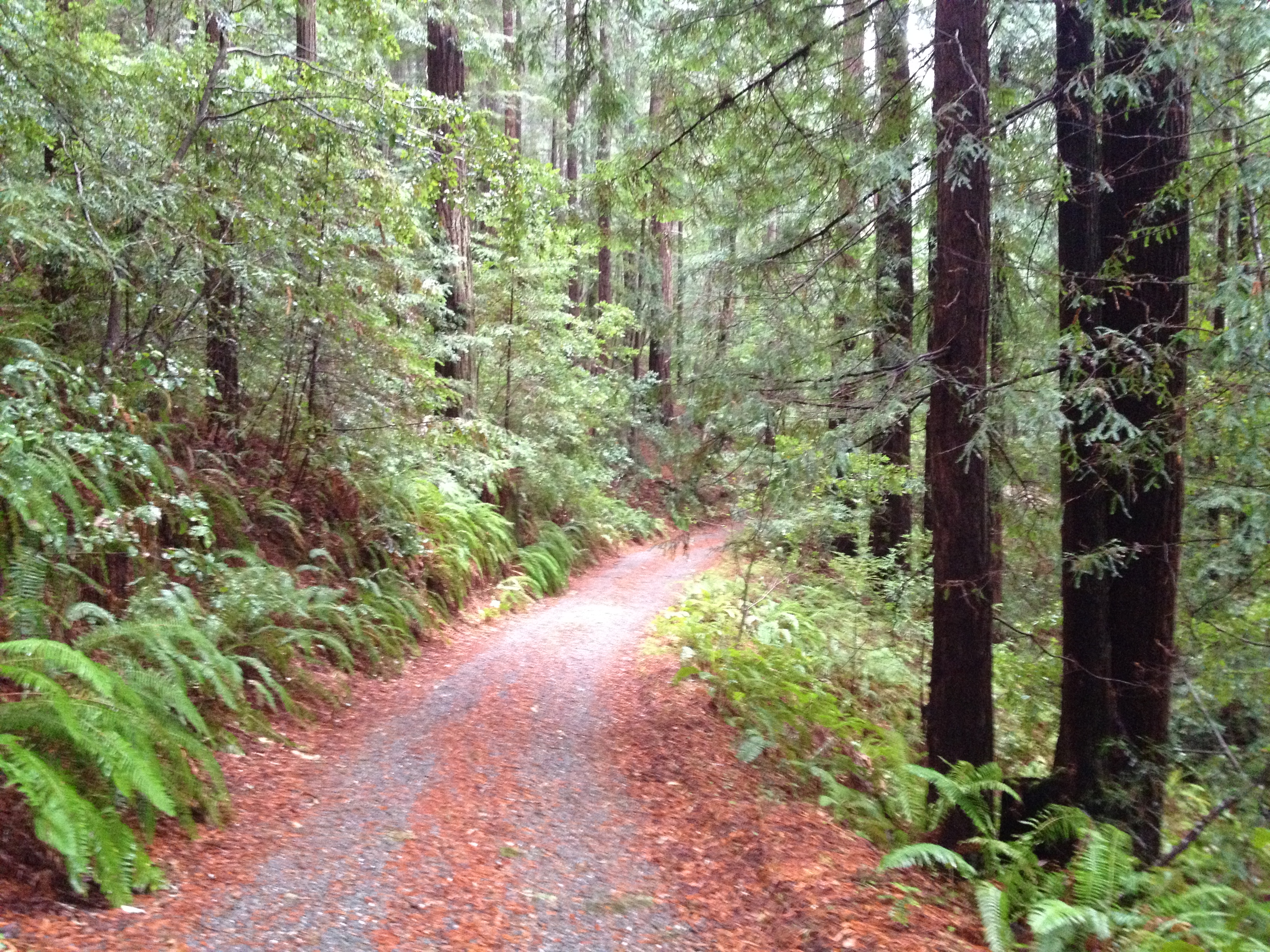
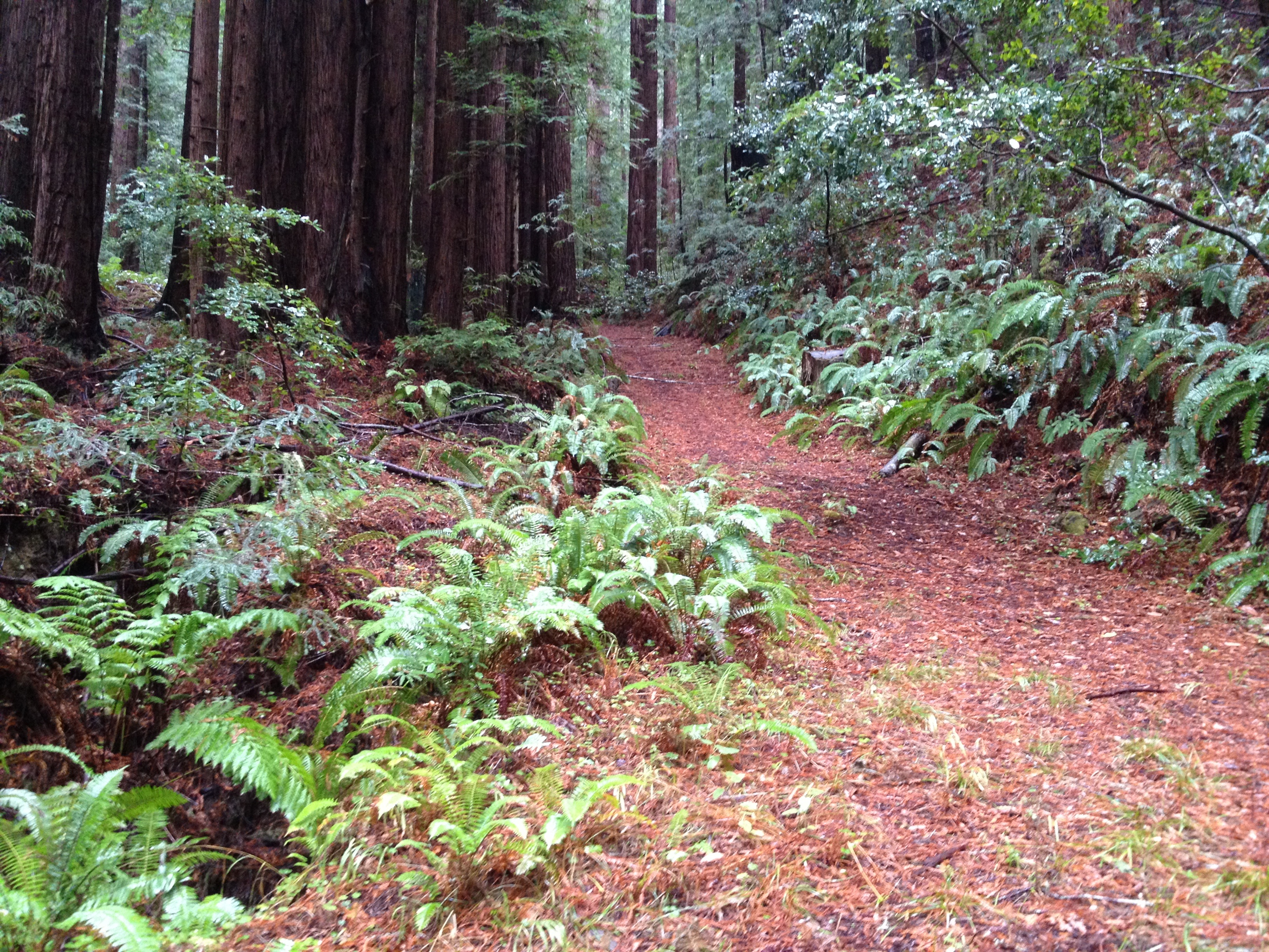
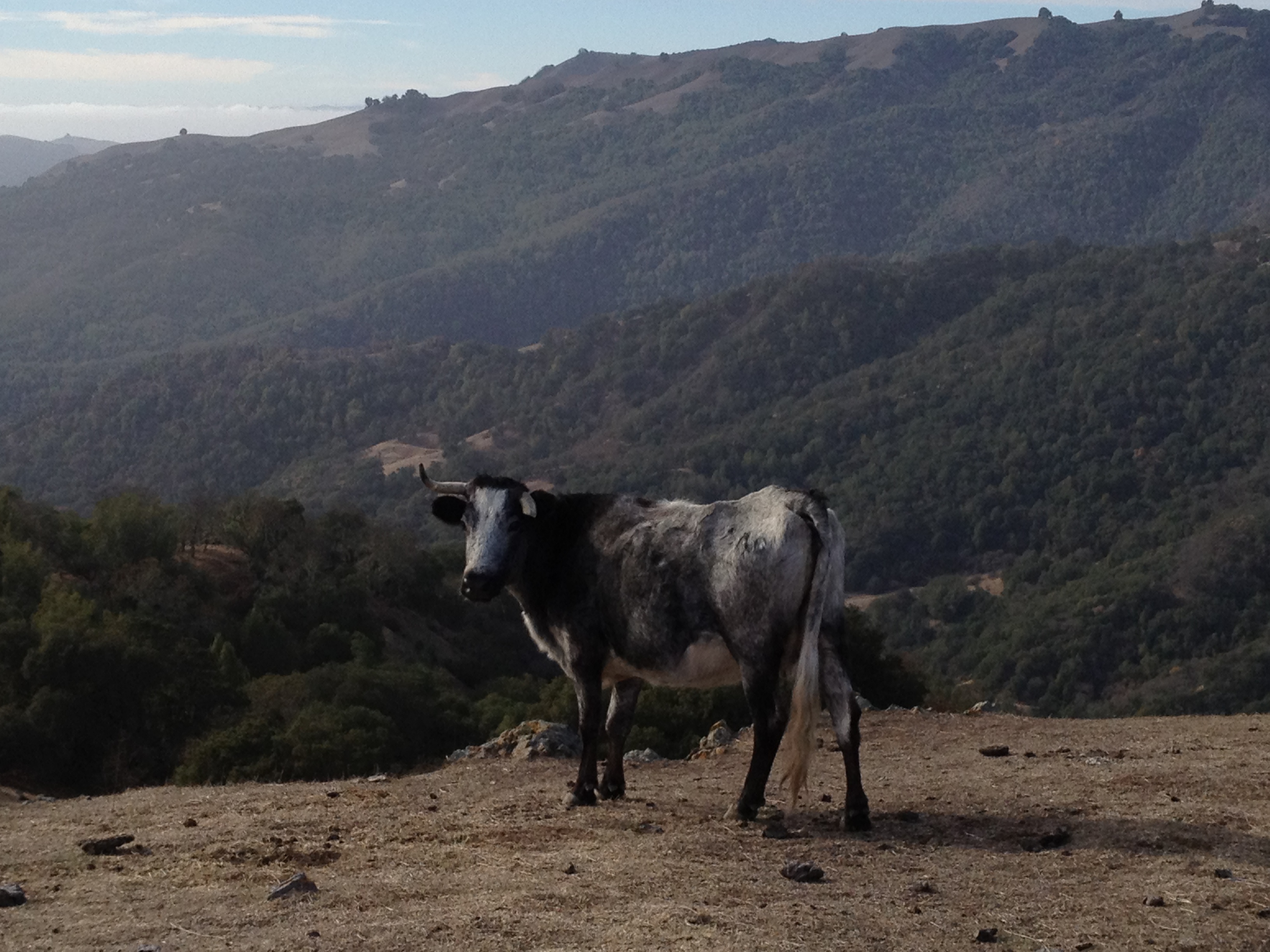
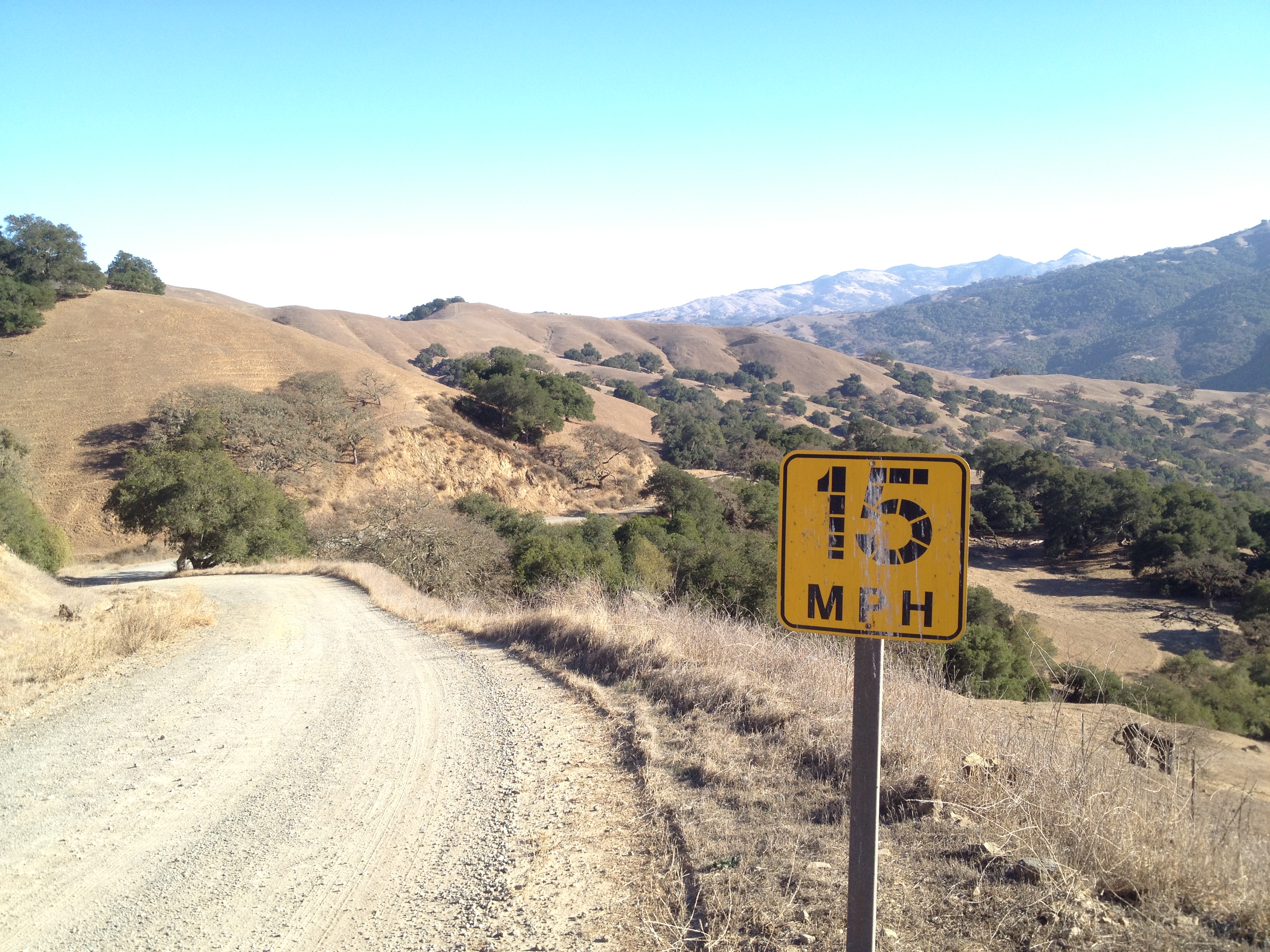
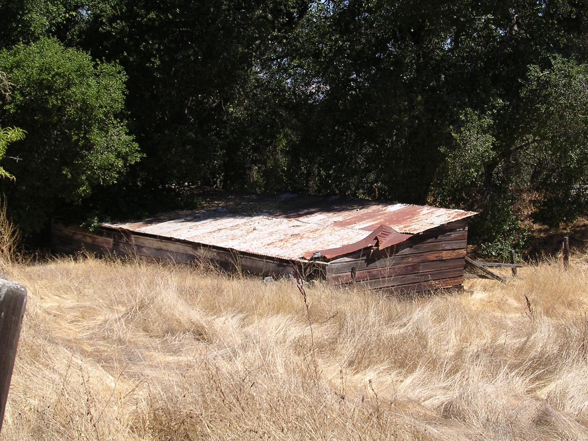
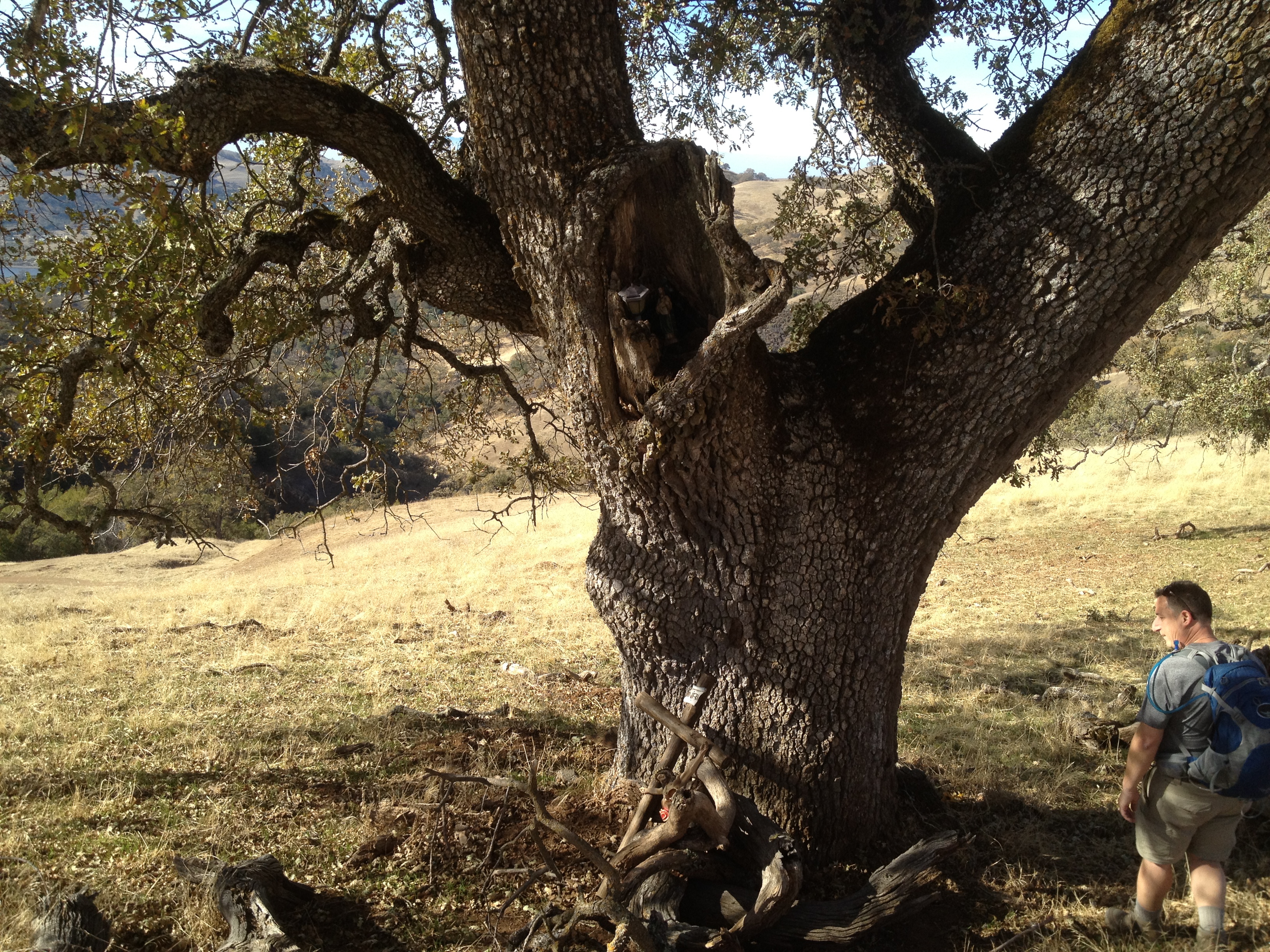
This land was a working cattle ranch, up until 1992. Many of fences are still here, and many trails are old dirt roads. This is the beginning of the “Spike’s Peak Trail” from the parking area. Straight up, but not all that steep!

IMG_9138

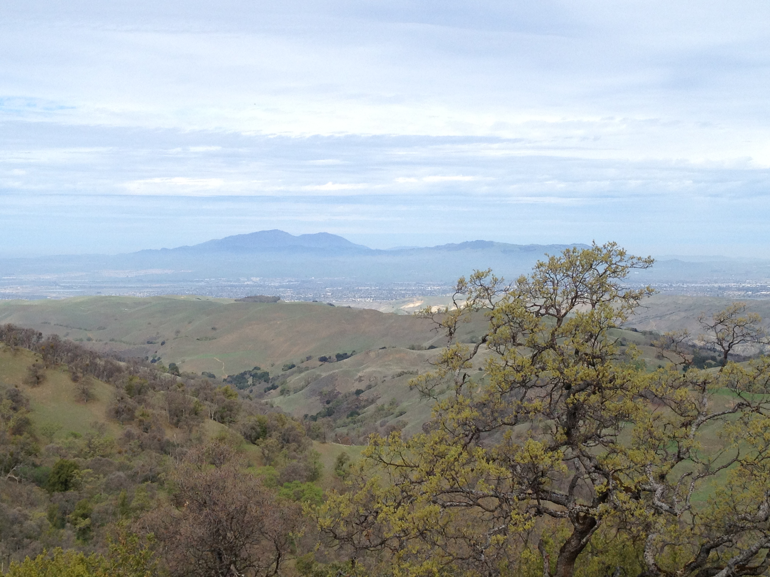
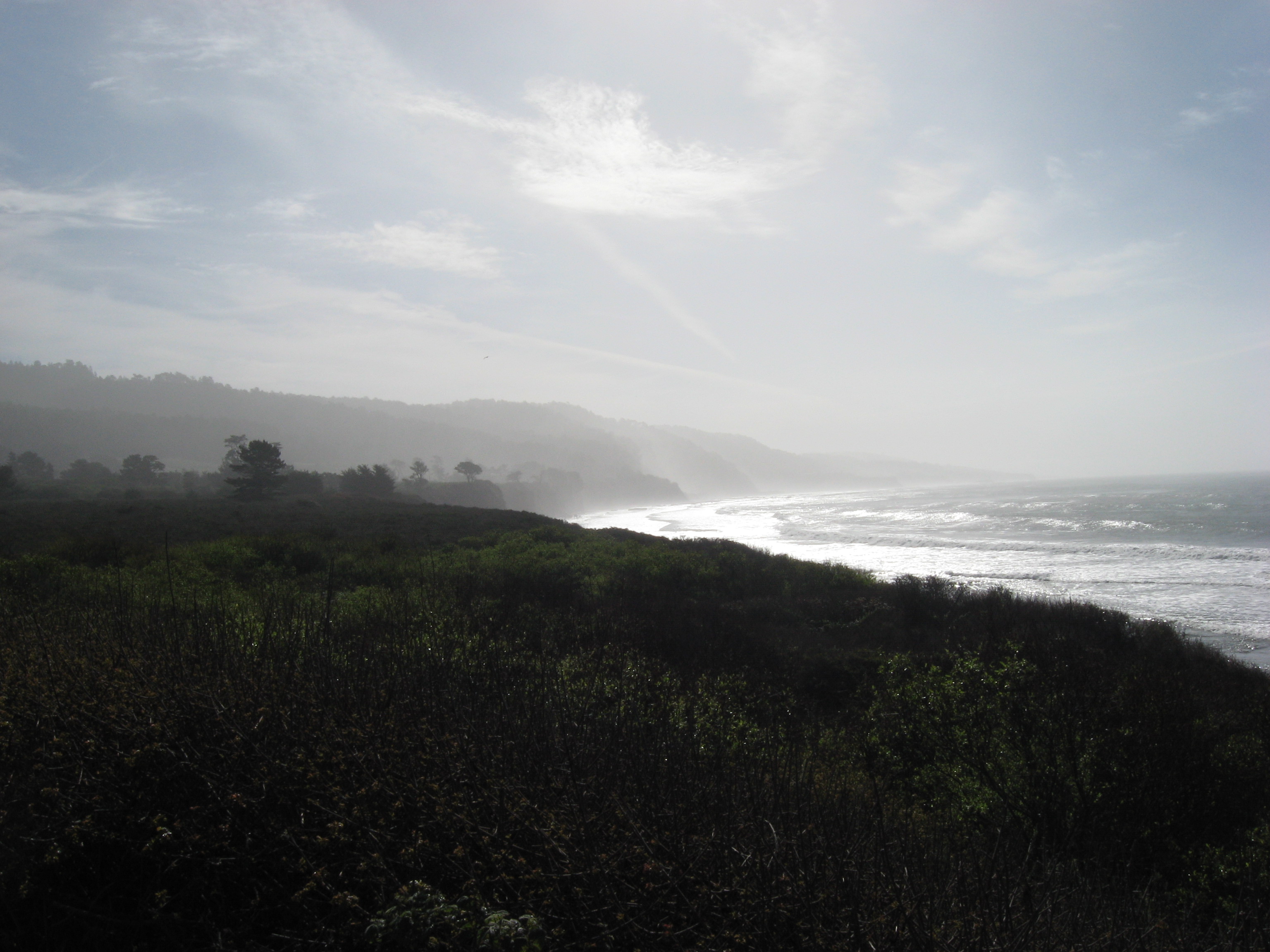
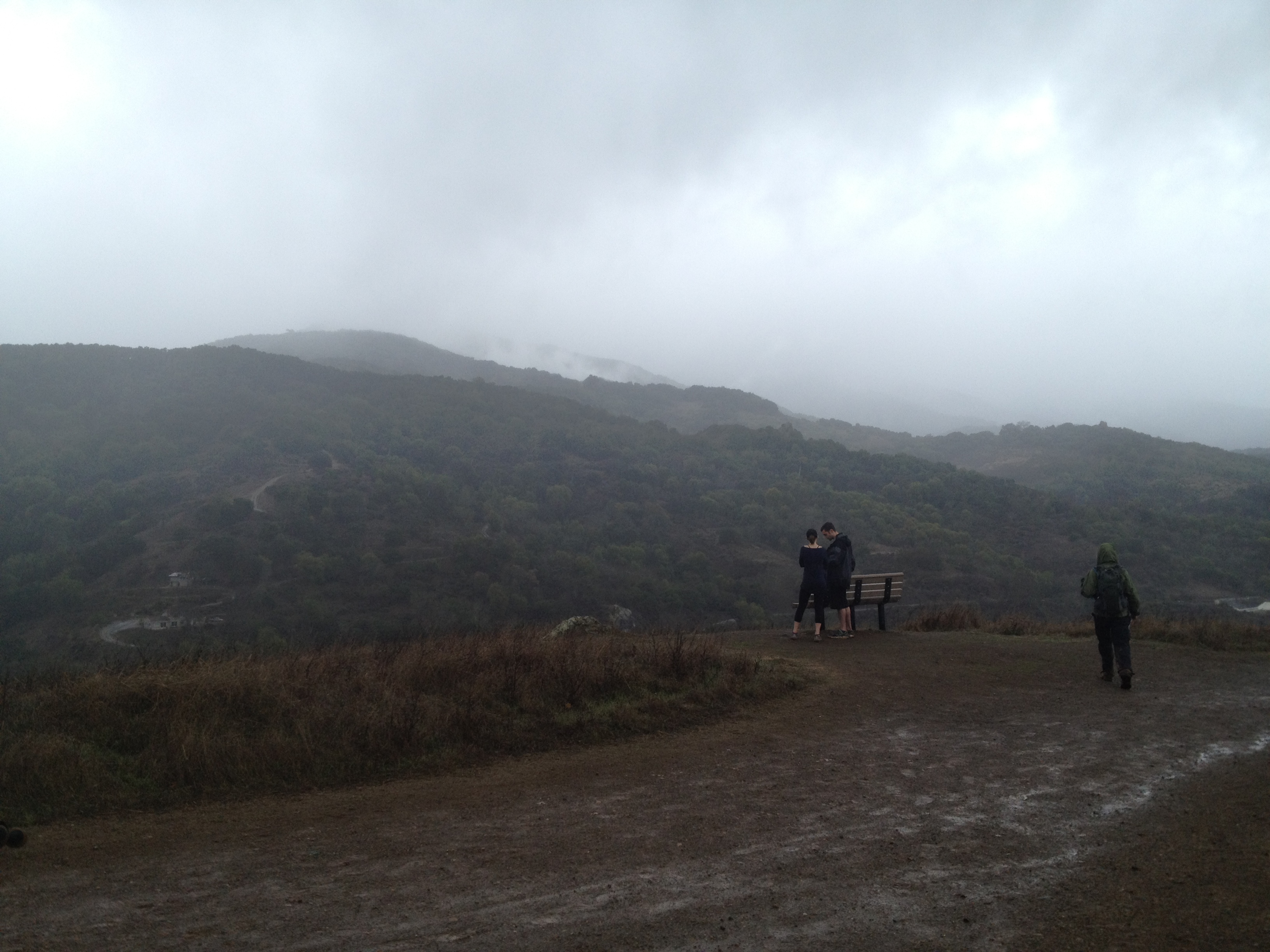
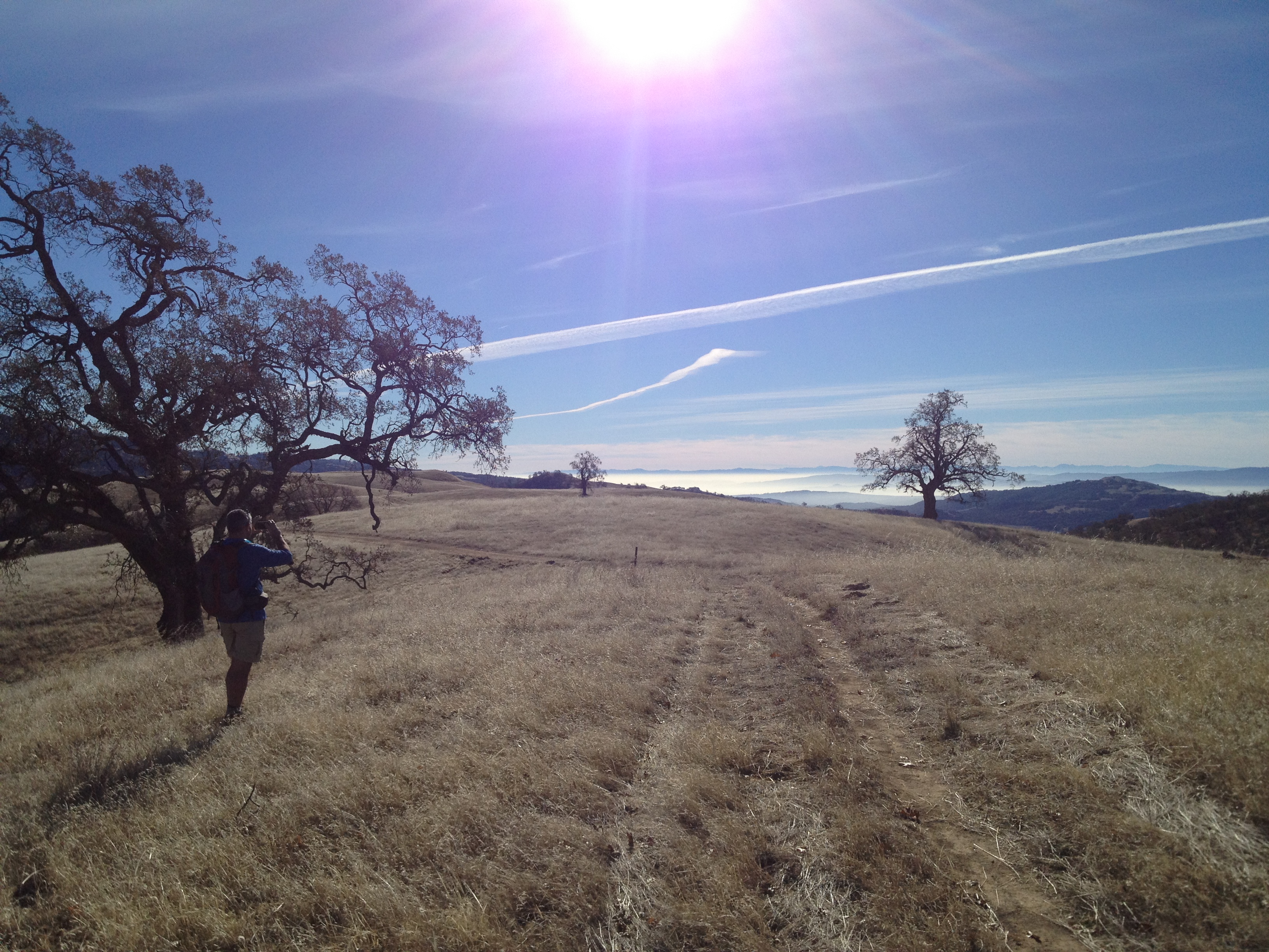
After about a mile, or so, the elevation gives you some impressive views. This view is to the north, with Highway 152’s swath of cars and trucks being visible in the distance.

IMG_9142

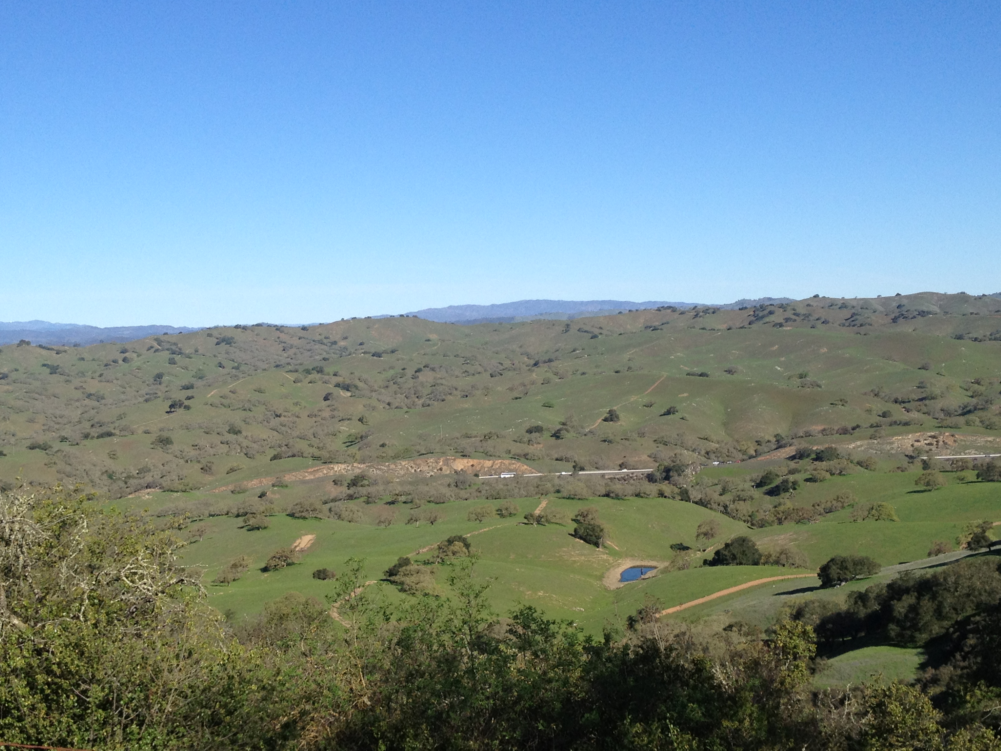
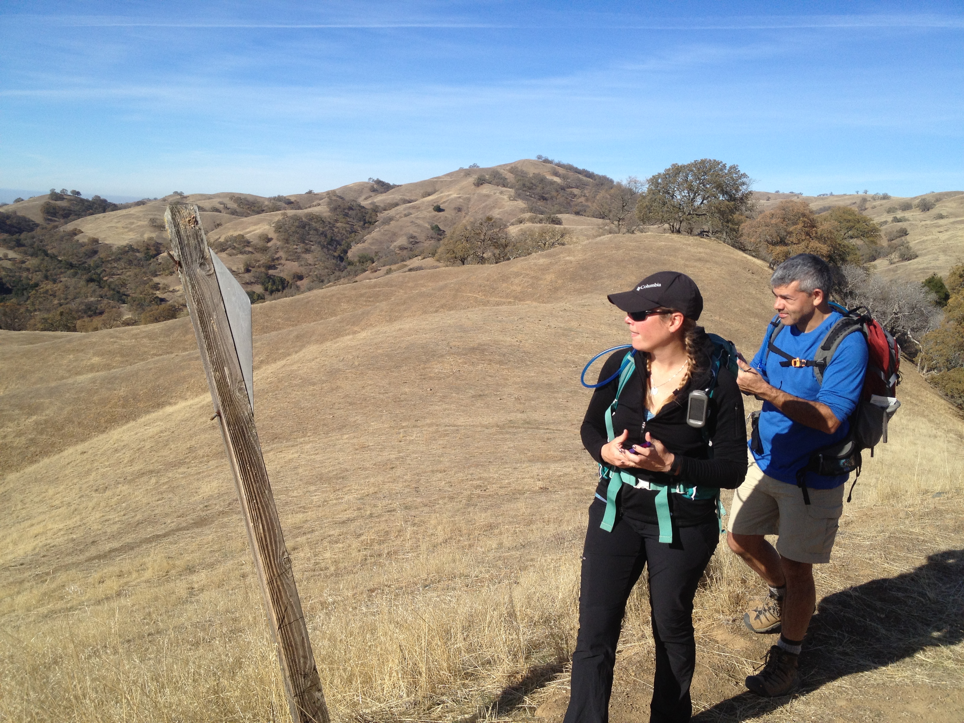
After about 800 feet of elevation gain, the terrain becomes “rolling ridgetops”, as is familiar to visitors to the nearby Henry Coe State Park.

IMG_9144

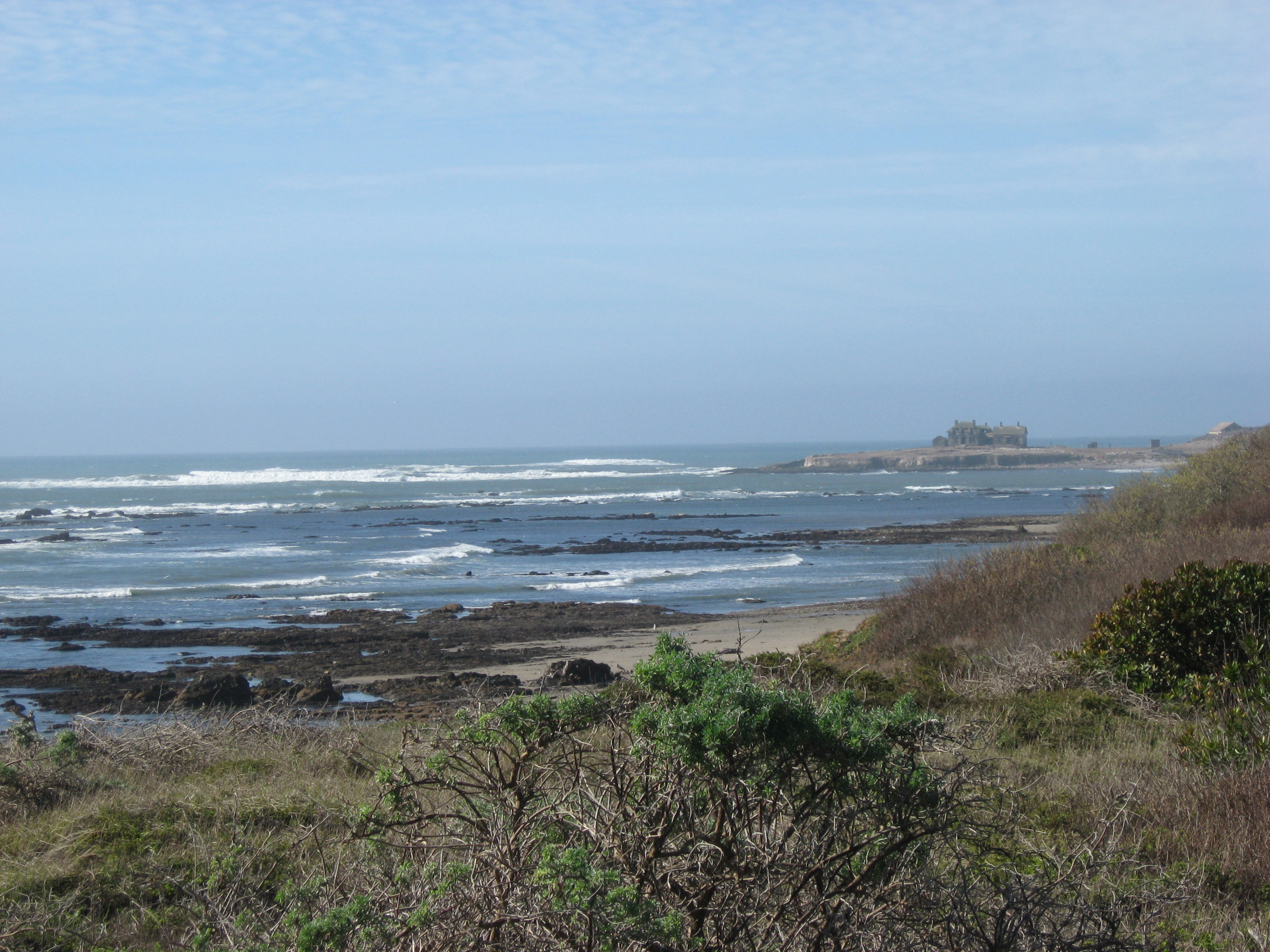
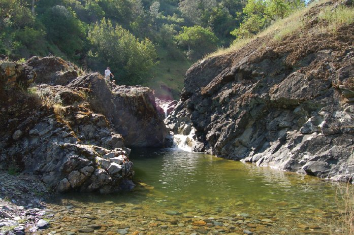
This photo is looking towards the massive San Luis Reservoir. Though my iPhone 4s did not capture it well, there’s a very distinct view of the snowy Sierra peaks, over 150 miles away.

IMG_9156

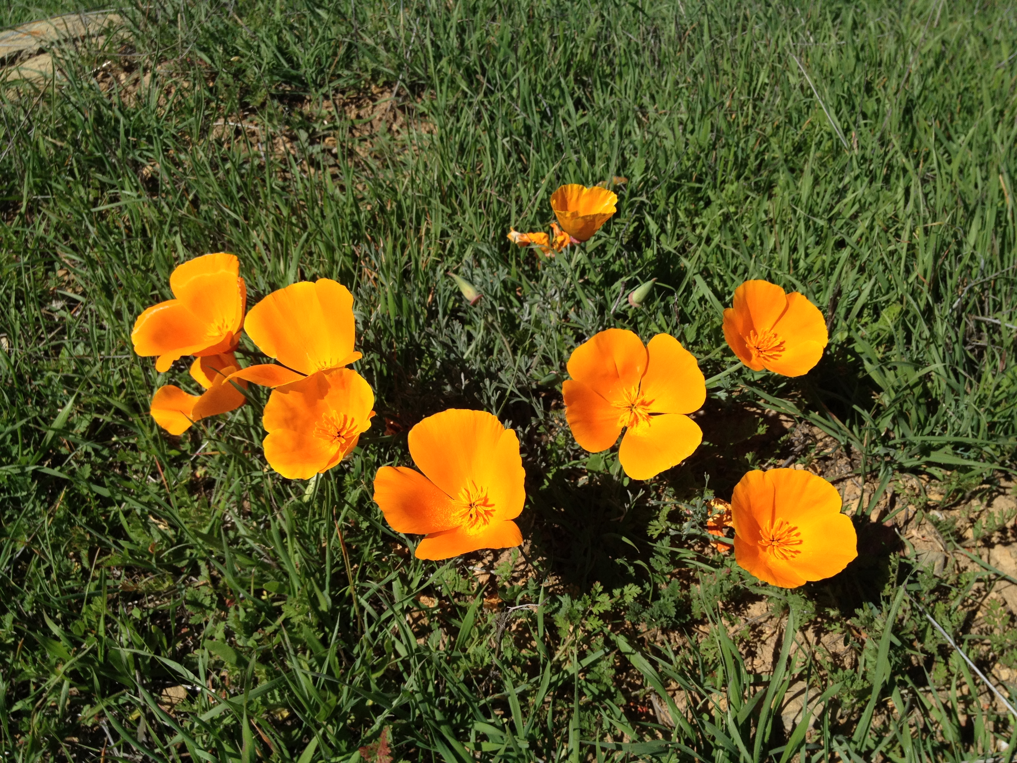
The temperature on this early spring day was in the mid-70’s and the California State Flower (California Poppy) was blooming in full-force!

IMG_9169

IMG_9151

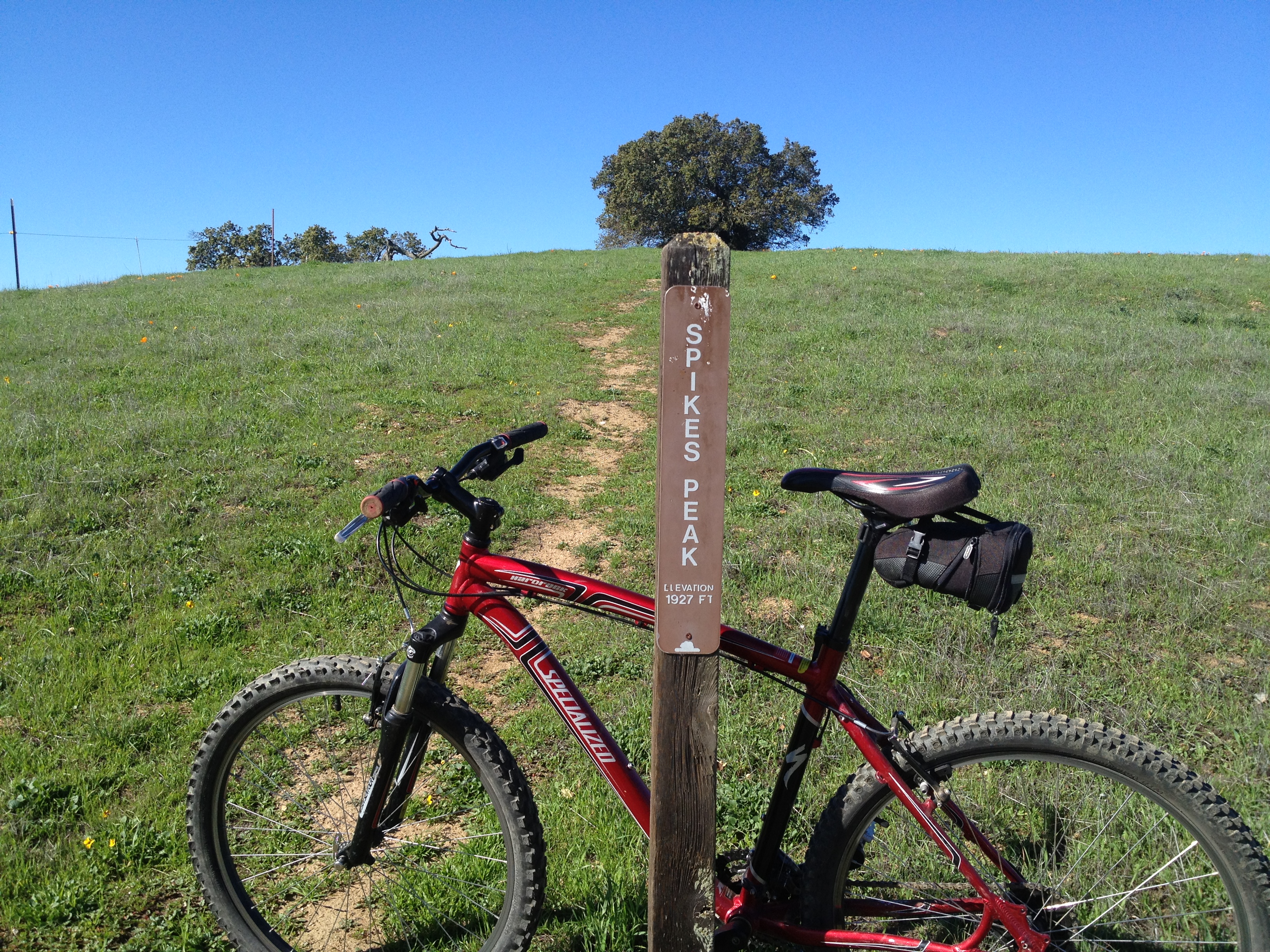
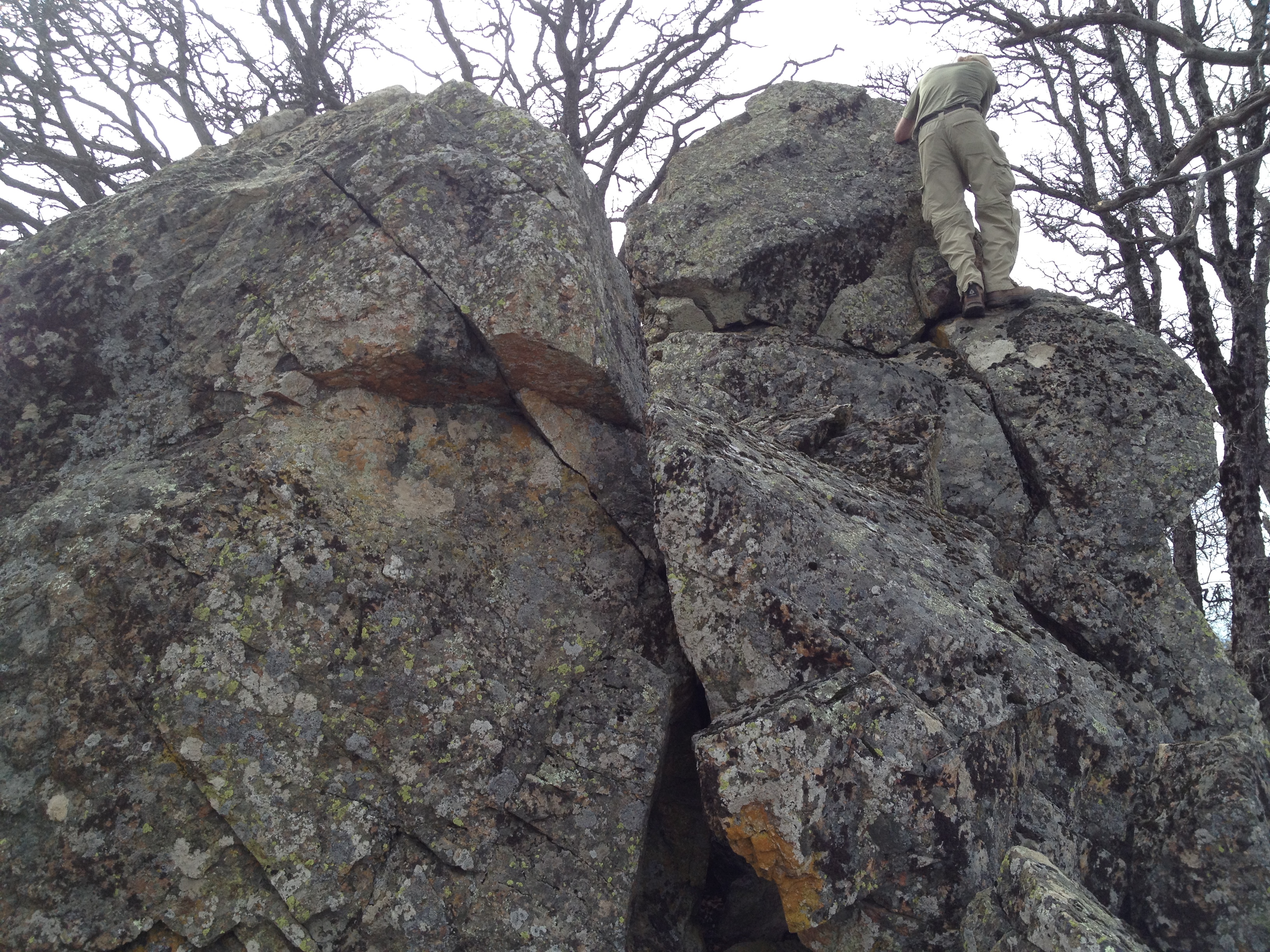
Spike’s Peak (1927 feet) was the primary goal on my first visit. From there, I studied the map and picked my slightly longer route back.

IMG_9160

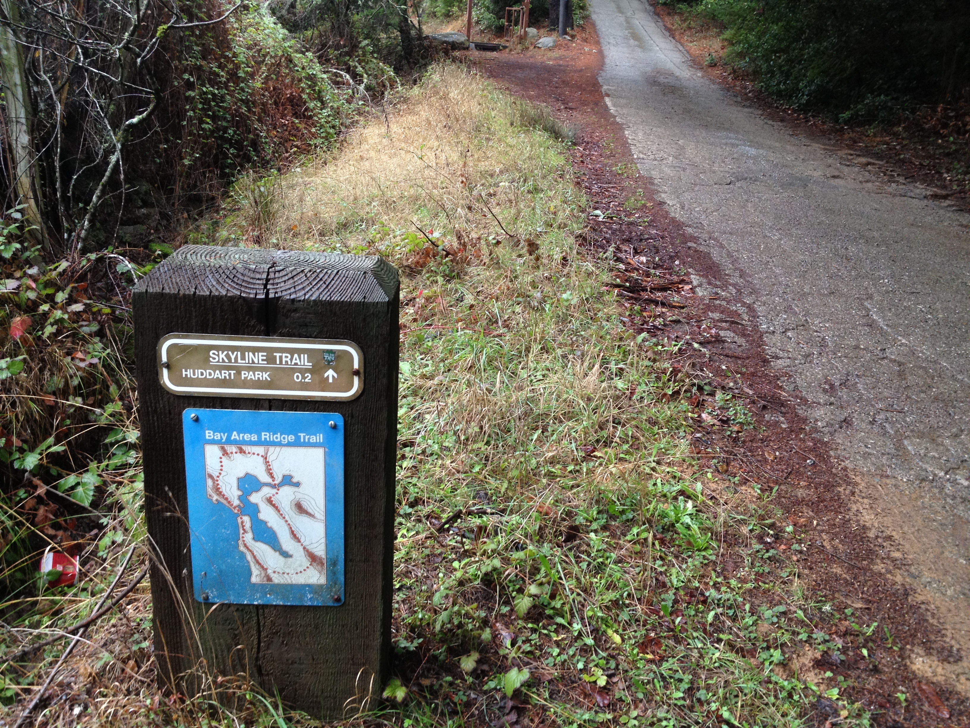
Decisions, decisions! Most trail intersections were marked, but not all. A photocopied map is available at the entry point, but it’s mostly worthless. Scour the internet for a map and/or load-up your GPS before you head out here!

IMG_9171

Straight run back to the car, in the distance!

IMG_9172

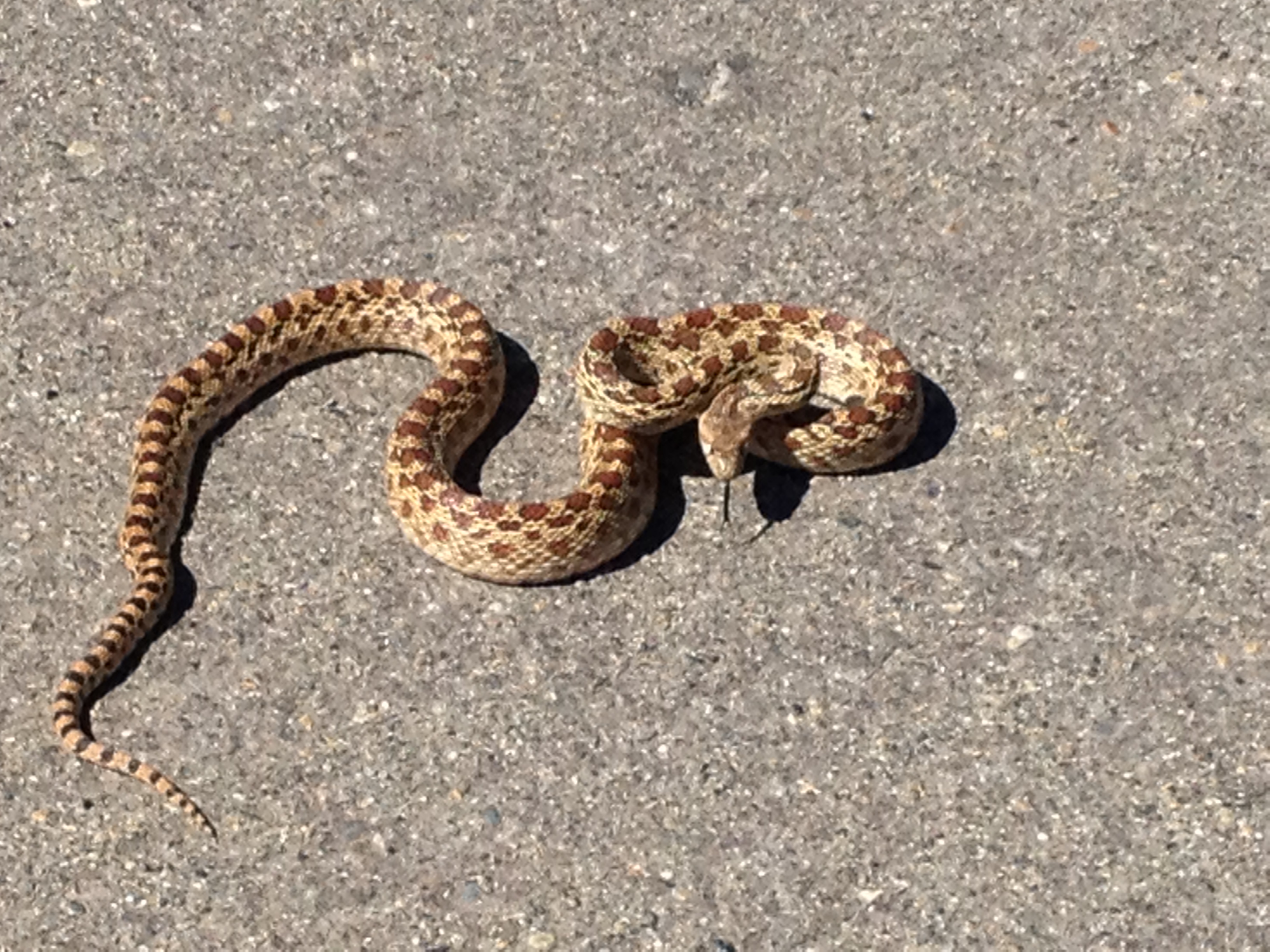
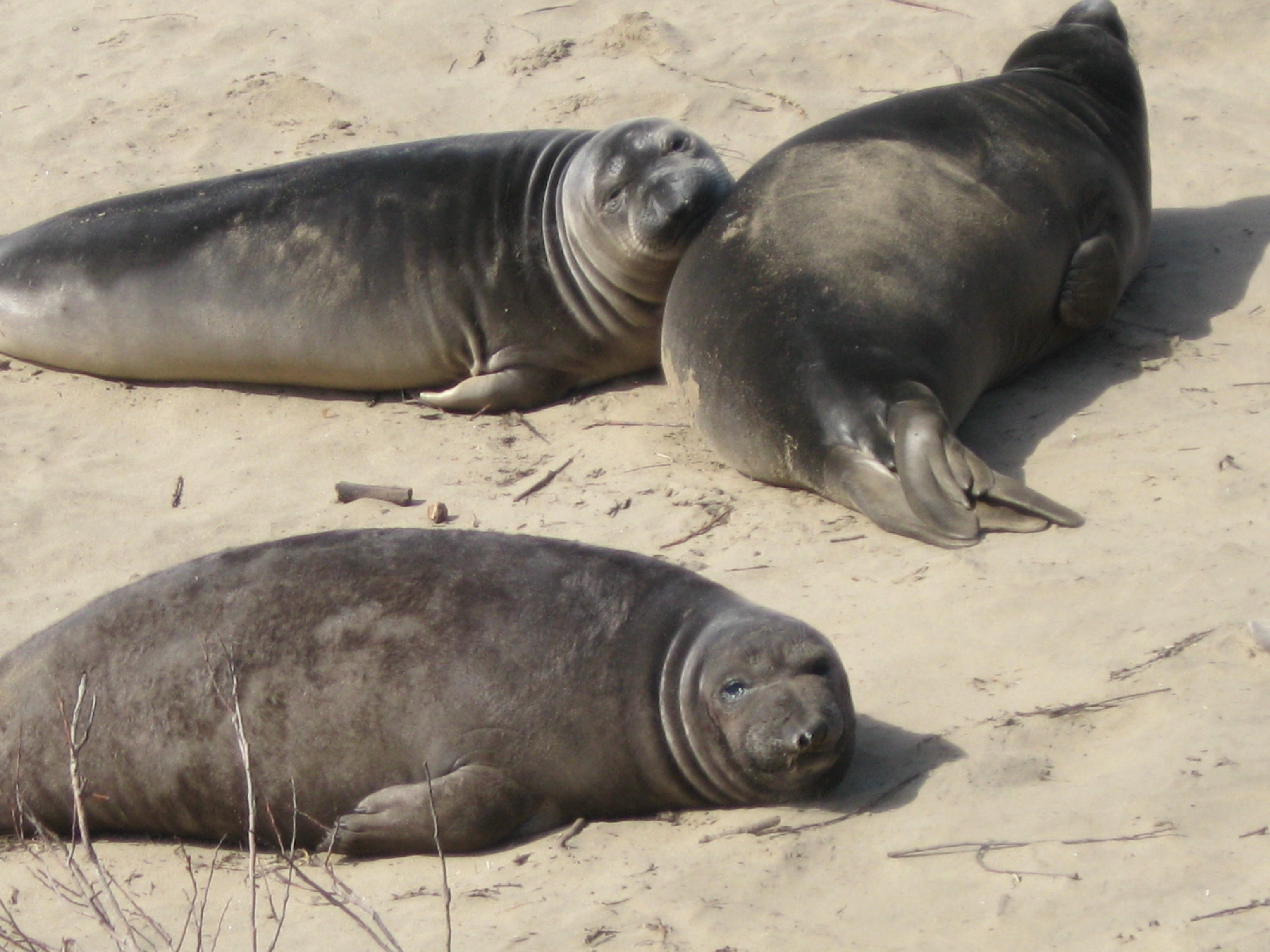
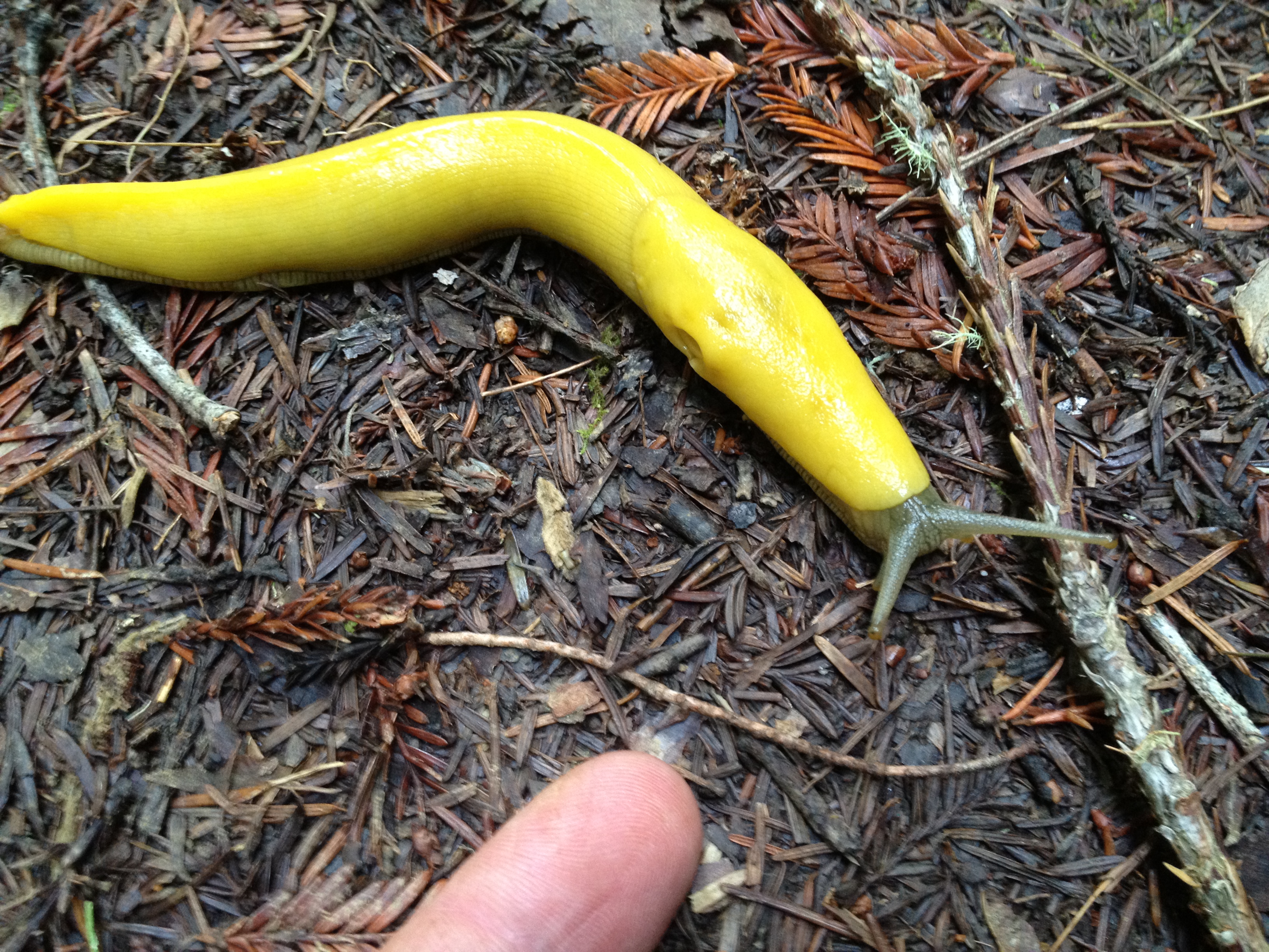
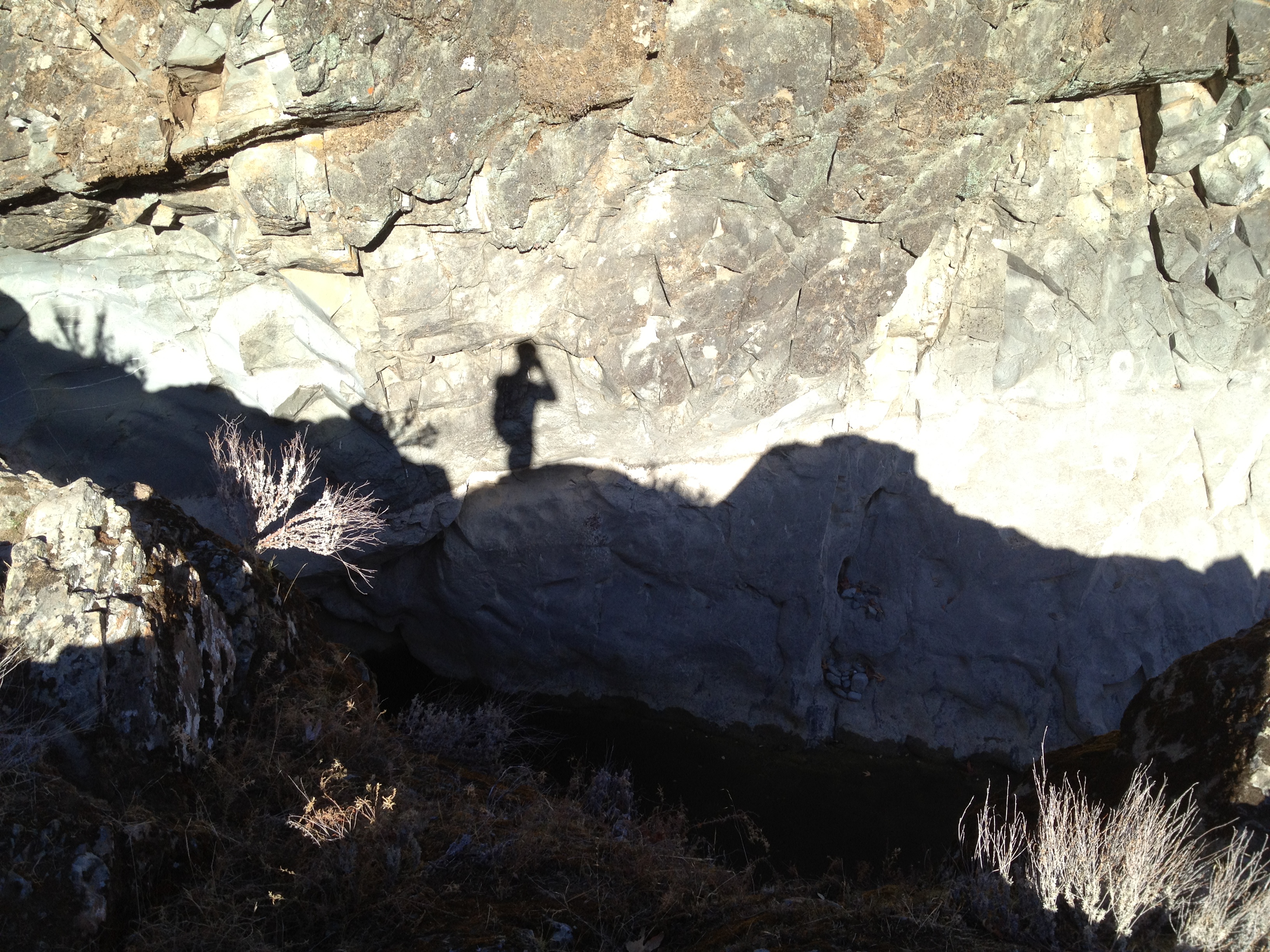
One of the friendly natives: a Pacific Gopher snake, which has a pattern and behavior like a rattlesnake, but without the rattle!

IMG_9176

That’s it! Worth a look if you’re familiar with the Henry Coe State Park, or if you want a convenient hiking/cycling spot on your route along Highway 152.

Posted in Uncategorized | Leave a comment

Murietta Falls in the Ohlone Wilderness

How many folks in the San Francisco Bay Area have heard of the highest local waterfall “Murietta Falls”, or the “Ohlone Wilderness”? If it was not a grueling hike to get there, I think “everyone” would have heard about it. As it is, it’s not even mentioned on the park’s own website! http://www.ebparks.org/parks/ohlone …though the locally famous Tom Stienstra knows about it. http://www.sfgate.com/sports/article/Brutal-hike-to-Murietta-Falls-can-yield-stunning-2662044.php

The falls are VERY seasonal, due to their high elevation and not draining too large of a watershed. Being a drought year, though about a week after some decent storms, we had moderate expectations of water flow. During or immediately after a storm, the falls are really impressive!

With three local friends, who are accustomed to challenging day hikes, off we went! It was the third trip for three of us, and the first trip for the other person.

The signboard, about 1/2 mile up the trail from Lake Del Valle, a bit south of Livermore, California. (Are the ticks really larger than a mountain lion’s head? We found a few babies on this early March day.)

IMG_9031

…and up we go! An easy part of the first of three grueling climbs

IMG_9038

…and finally some views!

IMG_9041

…and photo opportunities up on the first ridge, just as we start down

IMG_9044

From that ridge, it was about a 600 foot drop into a quiet creekbed off in the distance

IMG_9049

The creek! Some shade and a chance to (seasonally) filter some cool water!

IMG_9053

…before the “Big Burn”, which is over 1200 vertical feet, with grades as steep as 40%. It closely rivals (and we think surpasses) the steepest grade of Mt Sizer in Henry Coe State Park. Both are known as among the most difficult hikes in the Bay Area. (my most recent Mt Sizer trip, with some info on the other “steepest hike”: https://alpharoaming.com/2013/10/05/bikepacking-henry-coe-state-park-day-1/)

Up on the second ridge, which is the “we’re almost there” point of the hike, the distinct Mt Diablo is visible to the north, with the I-580 corridor cities in between (Dublin and Livermore)

IMG_9065

Joyfully cruising along the ridge, it’s surprising how much dead wood is here. The area has not burned in many decades.

IMG_9069

We had a few brief stops to hunt for some remote geocaches! Most of us are “laid back” geocachers, who love it as a research tool for new adventures, though rarely going after the urban caches. Notice the guy in the upper-right, climbing a rock formation. http://coord.info/GC3G0WP

IMG_9077

Ahhh…finally at the falls! Flowing just enough to have that soothing sound.

IMG_9082

…about 10 gallons/minute (~38 liters/minute)

IMG_9089

A rest and some pictures!

IMG_9090

IMG_9092

From the top it doesn’t look like much, but I didn’t get any closer than that!

IMG_9098

Time to head back! The returning steep downhills can be harsh on the knees and toes, and taking smaller steps consumes a bit of time. We were too weary to take pictures of our sore toes jammed into the end of our boots. You wouldn’t want to see those pictures, anyway…

IMG_9112

Great trip! Visit right after a rainfall, and be sure you’re prepared for a steep hike of about 14 miles and ~4500 vertical feet.

GPX track on a map: http://www.everytrail.com/view_trip.php?trip_id=2695464

Posted in Uncategorized | 4 Comments

Baby Elephant Seals at Ano Nuevo State Park

IMG_5973

Ano Nuevo State Park, on the coast about an hour south of San Francisco, is an impressive breeding ground for the HUGE Northern Elephant Seal. http://www.parks.ca.gov/?page_id=523

The seals come ashore from December to March to have their babies, then mate for the next year’s offspring.

IMG_5899

Once upon a time, about a century ago, these massive mammals were nearly hunted to extinction. They provided the same commercial products (meat and blubber) as did whales, but they were MUCH easier to hunt while laying on the beach.

In 1922, fewer than 100 of these huge creatures remained. The remaining small colony, on Mexico’s Guadalupe Island, was protected by the Mexican government and have since repopulated the Pacific Coast. The current population of 160,000 animals are all descended from the 100 that were saved. http://www.montereybayaquarium.org/animal-guide/marine-mammals/northern-elephant-seal

IMG_5941

This particular breeding colony consists of a few mainland beaches, plus an offshore island, which was an active lighthouse station until the 1940’s.

IMG_5946

IMG_5951

During the ~4 months they are ashore, there are daily tours to safely view these massive creatures, without disturbing them. (It’s about 2.5 hours and 4 miles of walking, both on firm trails and soft beach dunes. Reservations necessary! Plan way ahead for weekend visits http://www.parks.ca.gov/?page_id=27613)

The parking lot and tour starts from the old ranch buildings of the Steele family.

IMG_5907

From the old ranch, it’s about a mile on a hard-packed trail, past a freshwater pond.

IMG_5927

..and on to a small outdoor display, restrooms, and the start of the restricted area. (Note the iPhone, below, as a size reference)

IMG_5932

Yes. they’re cute 200-300 pound babies at only 2 months old! (They weigh ~60 pounds at birth)

IMG_5967

There’s a bunch of them scattered around these dunes, including about 10 in the foreground, behind the twigs.

IMG_5958

In early March, when I visited, some of them had already headed back out to sea for the next 8 months. They are known to swim and feed off the Aleutian Islands, Siberia, and Japan, and can dive as deep as 5000 feet (~1500 meters)

IMG_5914

This particularly large male, hanging out in the sun, like they all were, has in interesting history. Several years ago it came ashore with a toilet seat firmly stuck around it’s neck. It had been there quite some time. He was anesthetized and the toilet seat was cut off. The deep gouge in his neck, on the left, is still quite evident,though he’s apparently quite healthy.

IMG_5990

After observing the massive, slumbering animals from several vantage points, it was time to head back. This sign (below) was pointed out to us to show how much the dunes shift over time. This sign was 4 feet tall a few years ago!

IMG_5993

…and back towards the parking lot and the former Steele Ranch (white barn in the distance)

IMG_5995

IMG_5926

That’s it! A great drive and a 2.5 hour walk. Make a reservation some day! (Our docent, who has been working there for 17 years, recommends late January as the best time.)

GPX Track (download link at lower-right): http://www.everytrail.com/view_trip.php?trip_id=2695417

Posted in Uncategorized | Comments Off on Baby Elephant Seals at Ano Nuevo State Park

A Hidden Tafoni Formation & Neil Young’s “Broken Arrow Ranch”

IMG_8745

I was looking, once again, for an interesting new place to explore in Silicon Valley and still get home by late afternoon. One thing high on my “to do” list was to search for a relatively unknown tafoni formation, that was whispered to me in hushed tones at the same time as the recently visited plane crash site (https://alpharoaming.com/2014/02/11/plane-crash-site/)

WHAT’S A TAFONI, you ask? Well, it’s a honeycombed chunk of limestone http://en.wikipedia.org/wiki/Tafoni There’s a well-known one in the nearby El Corte de Madera Open Space Preserve. It’s called “Sandstone Formation” on the upper part of the map http://www.openspace.org/preserves/maps/pr_ecdm.pdf and mentioned on the lower part of park’s page: http://www.openspace.org/preserves/pr_ecdm.asp

Not only was this “secret” tafoni supposed to be better than the known one, it was also very close to some “dead-end downhill middle-of-nowhere” roads I had been meaning to try on the bicycle for a mostly car-free hillclimb. http://www.chainreaction.com/deadendroads.htm

IMG_8758

Two of these roads are on one side of El Corte de Madera, and one is on the other side. All of them just “uphill” to the east of Neil Young’s 1000+ acre “Broken Arrow Ranch”…and golly gee there’s a cool 5 mile trail through the park’s wonderful redwood forest connecting one to the other. Off I went!

(Some obscure historical info about Neil’s ranch on the website for “The Land”, which was a nearby “hippie commune” that included Joan Baez, but that’s a story for another time… http://theland.wikispaces.com/Star+Hill)

Neil is originally from Canada, and sang at the 2010 Vancouver Olympics, though he’s lived here for 40+ years. He’s also appreciated locally for his work with the Bridge School and the annual fundraising concert in nearby Mountain View. http://bridgeschool.org/concert/ Thank you, Neil!

I parked up on Skyline Blvd and took Swett Road as a short connector to Star Hill Road. I had been here before, but never saw a clear view all the way to the Pillar Point Radar Station, just north of Half Moon Bay.

IMG_8743

From Swett Road I descended down, down, down, past a relatively large, burned-out, redwood.

IMG_8747

Soon I approached the “secret” location. There it was!

IMG_8751

It may not look like much, but it was about 20 feet high on the uphill side, and a very steep drop of about 100 feet on the other side of this hidden spire.

The opposite side had the impressive weathered limestone formations that tafoni fans look for!

IMG_8752

Later on my journey, I came to the end of Native Sons Road, where it becomes the private property of the “Native Sons of the Golden West” http://en.wikipedia.org/wiki/Native_Sons_of_the_Golden_West (One of Neil Young’s early albums was named “Native Son”, inspired by this road near his land.)

IMG_8760

A funky tree at the private Durham Road turnoff.

IMG_8763

Two steep dead-end hillclimbs done (in the “granny gear”), now for 5 miles of damp, humid, off-road redwood goodness!

IMG_8776

…and the obligatory banana slug, which loves the damp conditions in the redwood forest:

IMG_8789

…and then DOOOWWWNN again to the end of Bear Gulch Road, 5 miles later, on the other side of El Corte de Madera Open Space Preserve. This road is the active entrance to Neil Young’s 1000+ acres, as was told to me by someone whose wife used to work for him.

IMG_8797

I’ve heard from another active hiker / cyclist that he’s heard Neil jamming in his studio from the park area. That would be quite something!

18.8 mile GPX track: http://www.everytrail.com/view_trip.php?trip_id=2678563 (Might have to then click on “map” if it doesn’t appear right away)

The end!
– secret tafoni
– 19 miles of quiet pavement and redwood forest
– 3 large hillclimbs, totalling 4000 vertical feet
– a peek over 3 dead-end gates, which are closed to the public

Posted in Uncategorized | 12 Comments

Brief “Rainy Day Drought Visit” @ Almaden Quicksilver Park

A very brief post to help me remember what RAIN and MUD looks like!

IMG_8590

There’s hope in those gray skies. Let’s go out and play!

Back on February 9, 2014, in Silicon Valley we received our third significant rain since last summer. The first was in September and the second was in December, IIRC. We’re still around 20% of normal in the driest year on record. Time for a hike in San Jose’s “Almaden Quicksilver County Park”, which was a large mercury mining area in the decades following the discovery of gold in California. (Mercury is used to grab, or “amalgamate”, bits of gold from crushed ore.)

Yes, we did see one or two California Poppies in early february…a bit early!

IMG_8600

A happy newt playing in the rain!

IMG_8596

The above photo is behind the Guadalupe reservoir dam (It should be full!), located here:

Look carefully between the tree branches, near the far water line. There’s a white car, on it’s side, that is now exposed in the low water.

IMG_8595

The southeastern end of the park was where the main mine was, as well as temporary towns and a cemetery. In the northwest end of the park, there’s very little in the way of ruins. A plaque marking the Senador Mine.

IMG_8602

And remnants of a hoist or ore shaft…

IMG_8603

That’s it! Check back here occasionally if you too need to be reminded what rain looks like!

Our ~10 mile track: http://www.everytrail.com/view_trip.php?trip_id=2661647

More information on Almaden Quicksilver County Park:
General Park info: http://www.sccgov.org/sites/parks/parkfinder/Pages/AlmadenPark.aspx

Detailed Park map: http://www.sccgov.org/sites/parks/parkfinder/Documents/AQGuideMap.pdf

Posted in Uncategorized | Leave a comment

Rainy Day Hike in the Redwoods & Plane Crash Site

The California drought has lessened somewhat this past week in Silicon Valley. We were at zero rain in January and our total rainfall was under 20% of normal for the season.

On Groundhog Day, “Phil” saw his shadow, the skies darkened, and 6 weeks of winter commenced. The persistent high pressure pattern finally broke and northern California started getting some very warm rain. This past sunday I went on a “rain hike” in the redwoods of San Mateo county.

A quick stop enroute for a peek at a section of the “Bay Area Ridge Trail” I had never been to:

IMG_8538

Ah yes! Time for a hike in the rainy, hushed silence of the redwood forest!

IMG_8543

The Banana Slugs welcomed the rain and were “partying like rock stars” (next to my rarely-used antique Garmin, held together with two “broccoli bands”!)

IMG_8544

Wet ferns on a rainy day! One of the few plants that can survive in full shade under a redwood canopy

IMG_8566

Wonder who is this belongs to? It would be interesting to see what they see, besides me!

IMG_8569

Besides enjoying the special sights and smells of rain in the redwoods, my goal was to visit some airplane wreckage. I was recently told about this by an older guy who grew up nearby. He tells me that it was an F-4 fighter jet in 1967 that crashed, with the pilot successfully ejecting. I could not find anything about it on the internet, but there it was, right where he told me!

Primarily one engine, plus some scraps, which are clearly of military origin

IMG_8552

“Missile launchers”! Clearly not Southwest Airlines…

IMG_8555

Complicated plumbing!

IMG_8559

This is my fourth crash site in the San Francisco / Silicon Valley area. I find crash sites interesting, as well as being a goal during my outings. The first two crash sites I have visited have been documented elsewhere on the internet and were only a few feet off marked trails. The better of the two is written-up here, in a very thorough historical manner http://www.mishalov.com/dc6-crash-kingsmtn-2july05/ A memorial plaque was placed some distance away since that writeup. (…at the turnoff to the “Vista Point” on the official MROSD map http://www.openspace.org/preserves/maps/pr_ecdm.pdf )

Yes, that’s my reflection in the cycling clothing on the left!

20f6f206-ab1e-4605-bd51-aa12416e1e44

The third local crash site has the entire tail section of a late 1950’s Navy jet.

Banshee_Sep09-3

The pilot perished in that crash, and a small plaque has been placed by a “wreckchaser”, as certain hobbyists call themselves. This third site, as well as the one I visited today, were described to me in confidence by folks who don’t want to see souvenir hunters ruin the site. I will keep their confidence and these tw0 sites will remain relatively unknown.

I hope you enjoyed the rainy day hike in the redwoods and a little bit of mysterious local history!

IMG_8570

Posted in Uncategorized | 4 Comments

Skyline Ridge with the “Rambling Wrinklies”

IMG_8458

Once-upon-a-time I befriended the brains behind a loose knit group of hikers called the “Rambling Wrinklies” (seriously!). Dinesh Desai http://dineshdesai.info/ made me a “junior” member of his group of retirees who hike every friday in the Silicon Valley area. How I became a member is a story best left for another time.

Dinesh has had quite a few adventures in his many years in Silicon Valley, including some unusual attempts at hiking from Death Valley to Mt Whitney, circling the Salton Sea, and crossing Death Valley on foot…in the summer! http://dineshdesai.info If you only read a bit of his website, read this one in 4 parts linked at the bottom: 50+ years in Silicon Valley and some great stories and adventures looking back on his life, as well as a tragedy in his family: http://dineshdesai.info/fiftypeaks/index.html

This past friday I joined him and four others on a hike at Skyline Ridge, above Palo Alto, CA (http://www.openspace.org/preserves/pr_skyline_ridge.asp). These hardy hikers are all well into their retirement years, probably averaging about 75 years old. On a beautiful friday morning we didn’t see another soul during our 3+ hour excursion.

Horseshoe Lake – quite low and getting lower during our drought!

IMG_8457

Wandering roughly southeast from the main parking lot, on part of the Bay Area Ridge Trail

IMG_8459

Past what was a Christmas Tree farm until a few years ago, when it became park property. I think this sign is outdated and trees are no longer harvested here.

IMG_8462

A view of some of the Christmas Trees, and a stump in the foreground that’s making a comeback!

IMG_8472

Following the hike, Dinesh thought we should drive past this historic Silicon Valley location on San Antonio Road. The building is now empty and about to be demolished, though it doesn’t appear to be the original building from 1956.

IMG_8480

IMG_8485

Following the quick photo stop at this historic site, we went for lunch, then back to the carpool meeting spot. That’s it! A three hour hike with the older and wiser “Rambling Wrinklies”!

Posted in Uncategorized | Leave a comment

“Share the Trail” Hikers, Horses…and Bicycles!

The debate over which “user group” should be allowed to use what trails is a seemingly endless debate, especially here in the San Francisco / Silicon Valley area. We have enormous amounts of protected space, both close to highways housing areas, as well as a bit further away. “Generally speaking” the busiest trails are reserved only for hikers. This makes sense, as it allows, for example, small children and moms with strollers to enjoy the trail without needing to be cautious of other users (cyclists and equestrians). Where the questions arise is for the trails that get much less usage. Should they be restricted? Who suffers and who benefits? Wildlife? Other user groups?

I could rant about steaming piles of manure in the trail that wash into fish habitat. I could rant about skittish horses and their whining owners. I could rant about aggressive cyclists, banked turns and bad manners. It’s all been said before and it won’t go away anytime soon. What I want to rant about is when equestrians or cyclists get priority over each other. In my view, the “negative impacts” of equestrians and cyclists are roughly the same. If it’s not a densely used trail, and it’s not a sensitive habitat where erosion is an issue, OPEN IT UP! There will always be “bad eggs” (aggressive cyclists, skittish horses, NIMBYs) in each user group, but 99% of the people out there are respectful and kind to each other.

I will use the 86,000 acre Henry Coe State Park (http://coepark.net/pineridgeassociation/) as an excellent example of how the National Parks might operate. Henry Coe strictly limits the use of trails within about a 3 mile radius of headquarters. Beyond that radius, it’s WIDE OPEN to everyone. (With the exception of the portion designated as “Wilderness Area”. More on that later…) In my experience, the only time that Hikers, Equestrians and Cyclists don’t get along is when it’s crowded and someone gets surprised or passes too close for comfort. In backcountry areas where it’s rare to see another human, conflicts don’t exist!

A very unusual sign! (Coyote Creek Trail, between San Jose and Morgan Hill, CA)

IMG_8051

Another case in point: The Silicon Valley Mountain Bikers (http://www.romp.org) does quite a good job of reaching out in the community to attend planning meetings for trails and organizing volunteer work crews. They often find it frustrating that equestrians are favored over cyclists by parks management. Why? Is it a generational “age thing”? Do equestrians, especially in Silicon Valley, represent wealth and connections?

I don’t expect to change the world with this humble blog post. I do want to point out to others in “cyberspace” that we shouldn’t always see the world in a polarized manner. I set about writing this today after seeing a tweet by @NatParksBlog, which is a private “Community blog for all those that love National Parks”. They Tweeted an article “Rocky Mountain National Park should keep bikes out” http://www.collegian.com/2014/02/rocky-mountain-national-park-should-keep-bikes-out/61697/ Upon seeing that, my little corner of the Twitterverse, which includes hikers and cyclists, jumped all over that article.

The dominant feedback on the “no bicycles” article is that with proper planning, National Parks could be just like the trails I mentioned above: hikers only on the heavily used areas, and OPEN UP the backcountry to both cyclists and equestrians. These parks are HUGE and visits to National Parks are dropping. Why not encourage new user groups? For example: the Geocaching hobby has been embraced by many parks authorities (excluding National Parks) for bringing admission-paying users to lesser used parks, and often their tourist dollars to the surrounding motels and restaurants. This is a good thing, folks!

Some of this discussion also entails debate over the intent of the “Wilderness Act of 1964”, which prohibits “mechanized vehicles” in designated wilderness areas. This has been interpreted to include bicycles, which is controversial in it’s own way. Did they mean to refer only to combustion engine vehicles in 1964, prior to mountain biking? There are 100 million acres of federally designated “bicycle free” Wilderness, in addition to the National Parks. Would allowing a little human-powered tourism in our National Parks be a bad idea if it reverses declining visitors? Perhaps some folks would like the visitor numbers to decline to zero and leave nature completely untrammeled?

I don’t know the answer, but I do know that the “closed to bicycles” areas far exceed those closed to equestrians. Cyclists are enthusiastic, and often younger, users of our parks. They should be welcomed and appreciated for the positive impact that 99% of them make. I hope the conversation can be more balanced for both of those groups.

An entertaining picture to leave you with! (Humor and/or vandalism at Joseph Grant County Park, San Jose, CA)

IMG_8015

Posted in Uncategorized | Leave a comment

Henry Coe State Park: Pacheco Crossing, Dowdy Ranch & Bell Station

IMG_8262

On January 12th, I decided to enjoy yet another beautiful “Juneuary” ™ day in drought-stricken northern California. I was looking for some great scenery and a long climbing workout on my bicycle. I decided also to check on a particular place that I had previously visited in both dry and wet seasons: the lesser known southern entrance to Henry Coe State Park at Bell Station. http://coepark.net/pineridgeassociation/pra-event-list/venueevents/2-henry-w-coe-state-park-bells-station-entrance

This entrance is located on Highway 152 (“Pacheco Pass”), which is a major thoroughfare connecting the coastal and Silicon Valley region with California’s Central Valley. The gate is locked at Highway 152, except for summer weekends http://coepark.net/pineridgeassociation/planning-your-visit/visitor-centers-and-park-entrances/dowdy-ranch-visitor-center and the annual “Backcountry Weekend” in April. http://coepark.net/pineridgeassociation/component/eventlist/details/61-2014-backcountry-weekend The remaining days, including the entire “winter” [sic] season, you’ll need to walk or bicycle the ~7 miles and 1200 vertical feet to the part-time Visitor’s Center. (Here’s a link to a previous trip where I bicycled all the way to the Backcountry Weekend location, past where I went on this trip http://www.everytrail.com/view_trip.php?trip_id=2029004)

Alomg the 7 mile corridor to the park, you’ll see private ranch lands on both sides, with spectacular views. as you climb above the highway below.

IMG_8270

IMG_8274

The Visitor’s Center. Built in 2006 and rarely used:

IMG_8279

The picnic area at the Visitor’s Center is the home of the “Purple Panther”. It was a hiking friend who first noticed that the sun-bleached sign was turning purple

IMG_8282

After heading north from the Visitor’s Center, I lost most of my gained elevation, dropping down to “Pacheco Crossing”

IMG_8287

A short (~2 mile) and steep jaunt down the road and I reached my destination. This spot, near the gravel road, is normally gushing with water this time of year.

IMG_8307

This is the place called “Hole in the Rock”, which is a seasonal (remote) swimming hole. It has a stepped drop of about 20 feet, dropping into a pool that is normally quite large and at least 8 feet deep.

The first photo is from April 2006 (photo credit: http://www.Broadsword.com) and the second is my recent photo.

HITR

This is a “zoom in” of the previous location. I was standing where water should normally be, at the close edge of the pool. The white water line is where the pool is normally filled and flowing downstream. On this day it was 6 feet lower, and quite slimy (what was left of it)

IMG_8308

After a little exploring, I headed back up the hill to the Visitor’s Center…followed by screaming “wheeee!” on the 7 mile downhill back to the car.

I “may” have exceeded 15mph at times, despite the (absurd) signs on this remote road. I saw one friendly rancher, and nobody else, the entire day.

IMG_8331

More pictures: http://www.flickr.com/photos/59666465@N00/sets/72157639812708763/

GPX track: http://www.everytrail.com/view_trip.php?trip_id=2570574

FOOTNOTE:

The Visitor’s Center was built in 2006 and I just happened to visit there as it was being completed, prior to the official opening in 2007. To the rear and left of the Visitor’s Center lies the original Dowdy Ranch buildings.

When I visited in 2006, I explored the decaying buildings and took a bunch of pictures. At that time there were no fences or signs discouraging my poking around. This area is now fenced-off to protect the buildings and (I recently heard) a population of rare Red-Legged Frogs. Please don’t enter.

CoeBell_Sep06-010

CoeBell_Sep06-011

CoeBell_Sep06-013

CoeBell_Sep06-014

CoeBell_Sep06-017

Posted in Uncategorized | 1 Comment

Pala Seca Cabin @ Joseph Grant County Park

Back on December 15th I went on a moderate length hike in the “wilds” of East San Jose. Joseph Grant County Park (http://www.sccgov.org/sites/parks/parkfinder/Pages/JosephDGrant.aspx) is located on the road up to the more famous Mt Hamilton and the Lick Observatory (http://en.wikipedia.org/wiki/Mount_Hamilton_(California)). Besides the historical ranch buildings down low, there’s a “famous” cabin where President Herbert Hoover stayed at one time, up near the 2999 foot Antler Point.

We met at 9AM on a beautiful day, though we did see some fog or “smog” lower down in the distance:

IMG_7977

…and some eye-catching contrails in the sky:

IMG_7988

The cabin’s restoration was apparently halted a few years ago. Fortunately though, it is now stable and has a good roof:

IMG_8002

Here’s the signboard at the cabin, including President Hoover at the lower-right with a string of fish (which had to have come from a place much lower than the prominent ridge that the cabin sits on!)

IMG_8003

On our way down, we took a slightly different route and happened across this hollow tree with some Christian items on the ground and in the hollow of the tree. Odd!

IMG_8010

IMG_8011

IMG_8012

More interesting (and quite amusing) was our passing by the “Control Your Pee” sign.

IMG_8015

I caught 2 of my friends with a sly smirk just as they were reading the sign for the first time!

IMG_8016

On our return at about 1PM, we happened across a very shady and cool hollow, which had frost on the ground on a fairly warm day!

IMG_8019

Great hike! 11 miles and about 2500 foot elevation change.

Our GPX track: http://www.everytrail.com/view_trip.php?trip_id=2504269

Additional photos: http://www.flickr.com/photos/59666465@N00/sets/72157638963125583/

FOOTNOTE: Sadly, the Pala Seca cabin was destroyed by fire in late February 2014. The cause is unknown. You can see from the ruins and the scorched ground that the fire was very hot and thorough. Thank you to Joe Buck for providing the photo.

Remnants of the Pala Seca cabin, March 30, 2014. Photo courtesy of Joe Buck.

Remnants of the Pala Seca cabin, March 30, 2014. Photo courtesy of Joe Buck.

Posted in Uncategorized | 2 Comments