

Imagine the peaceful serenity and killer hillclimbs that can be found in Henry Coe State Park, but this ride includes one of the most innovative brewpubs around!
You could do a big ride in Henry Coe State Park (like this recent one https://alpharoaming.com/2014/04/28/pacheco-falls/ ) and then go to http://www.eltorobrewing.com/ on the way home. You could do a 3 day trip and bring your own beer (https://alpharoaming.com/2013/10/05/bikepacking-henry-coe-state-park-day-1/) ….or you could park your car at 2600 feet elevation in the Santa Cruz Mountains and (mostly) coast downhill through the redwoods and have a beer before you turn around and go back! On sunday I did just that, with the destination being the 12:00 opening time at http://rusticales.com/
I’ve done this trip twice before, the most recent tiem being just over a year ago http://www.everytrail.com/view_trip.php?trip_id=2090143 The first time has better photos and a slightly longer route http://www.everytrail.com/view_trip.php?trip_id=2044951
I parked the car, once again, on Highland Way at Buzzard’s Lagoon Road, between Los Gatos and Corralitos.

..and soon entered the park. Other than mountain bikers and a few scattered residents, this entry point is quite unknown!

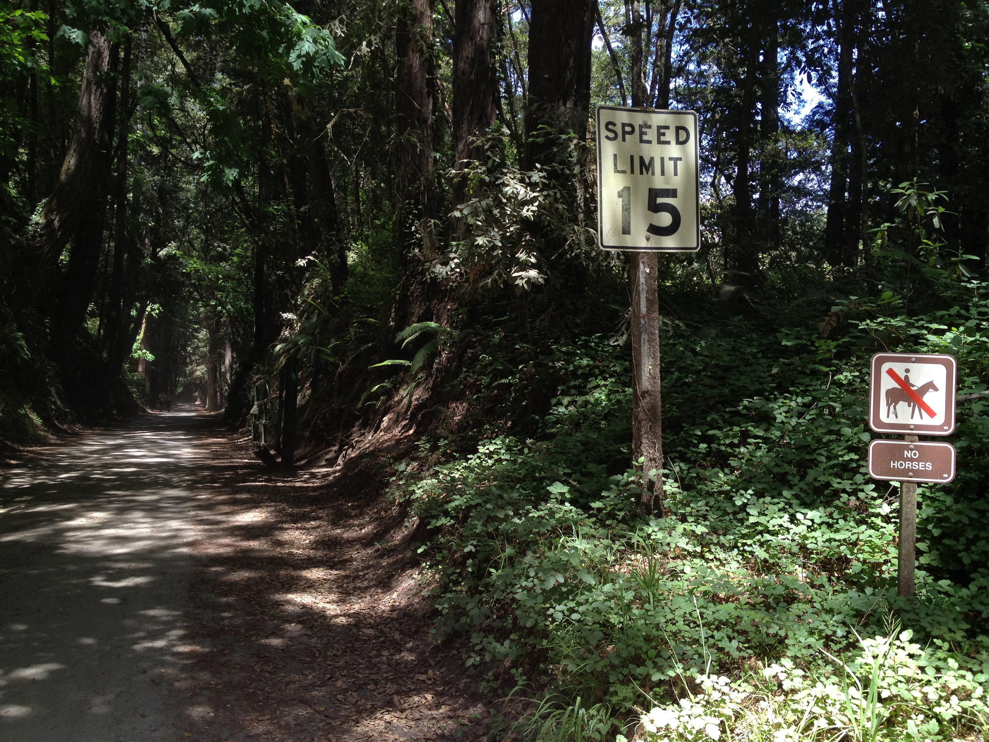
I’m loving THIS sign! Bikes are OK, but not horses. A rarity around here! (I like equestrians, but given their sparse numbers and the large number of trails they’re allowed on and bicycles are not, there needs to some better balance. Cyclists don’t leave “steaming piles” on the trail and both contribute somewhat to erosion.)
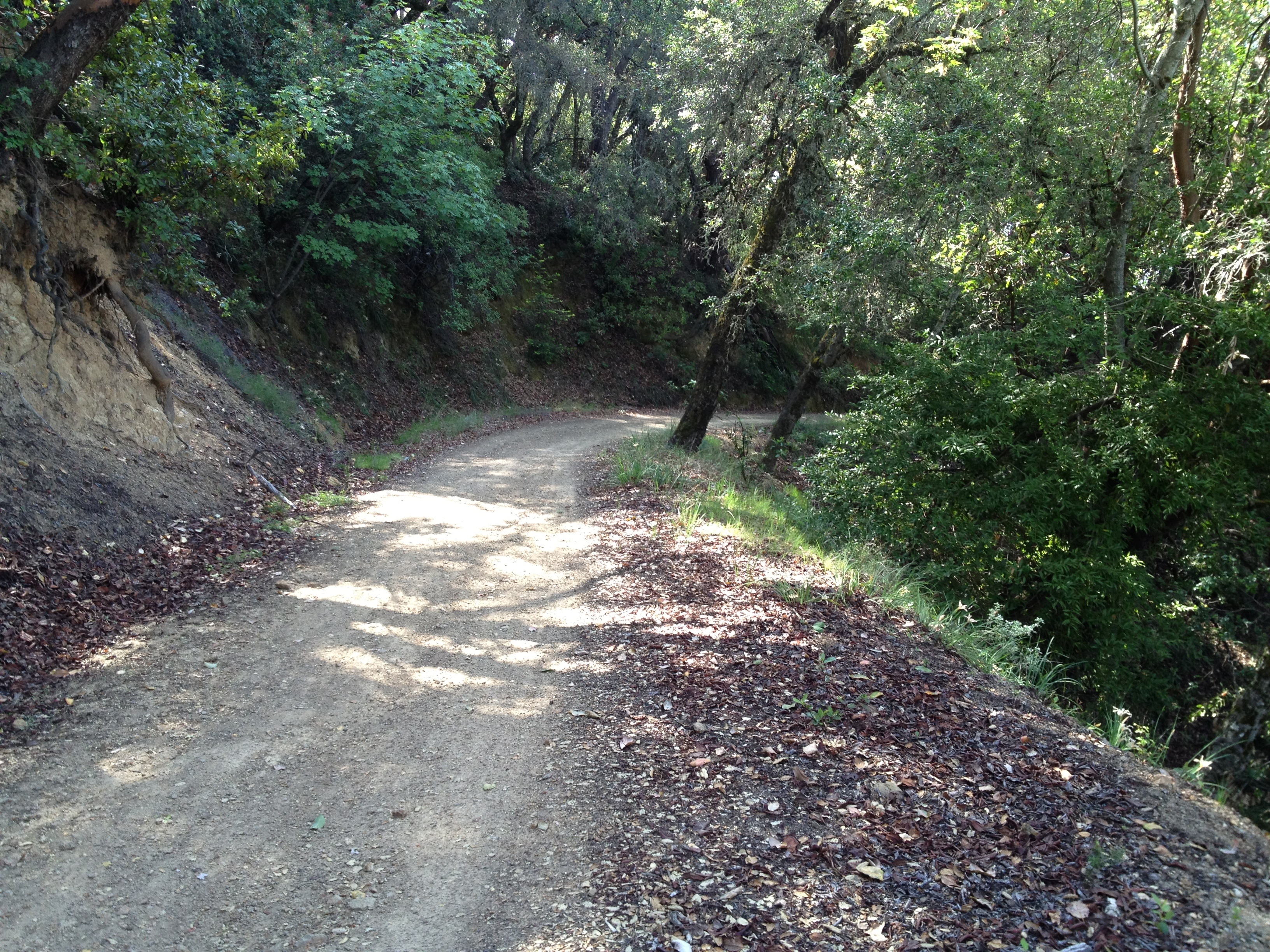
After cruising west, on a relatively flat stretch, it’s time to go thru a gate and start shouting “Wheeeee!”

At a major trail junction, where the trail meets another trail coming from the Soquel Demo Forest, there’s a bench. My camera doesn’t capture it, but the Monterey Bay and the mountains of the Monterey Peninsula were visible on the horizon. The bench is sponsored by the Mountain Bikers of Santa Cruz.

And a sign at the junction, immediately behind the bench

There were definitely signs of spring, besides all the greenery. These something-or-others from the Iris family were a bit past their peak.

….and DOWN we go some more! …2600 feet in total, almost to the beach!
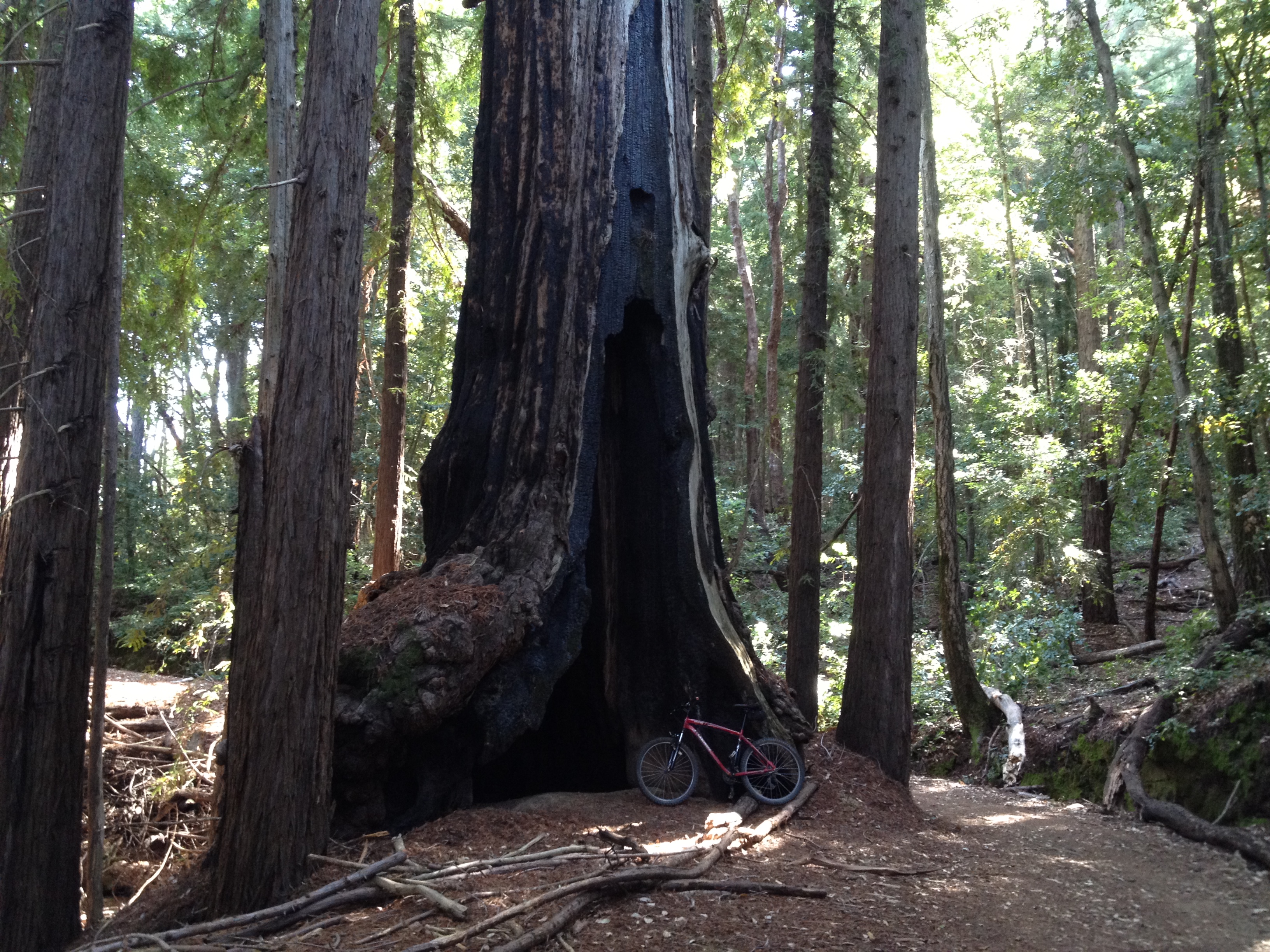
Ahhh! Here’s the mandatory “big tree picture”! This one was likely already burned-out inside during the logging boom about 100 years ago. The only ancient trees that were spared were the damaged ones and some that were in steep and inacessible locations. It is still quite healthy and alive.
This bench is the “Sand Point Overlook” at an elevation of about 1600 feet. It’s a popular turnaround point for folks coming up from the main park entrance. The lower you go, the more people you’ll see!

The turnoff to the Aptos Creek Trail and the 1989 earthquake epicenter. (Previous write-up here: https://alpharoaming.com/2013/08/12/bushwhacking-aptos-creek-near-santa-cruz-ca/)

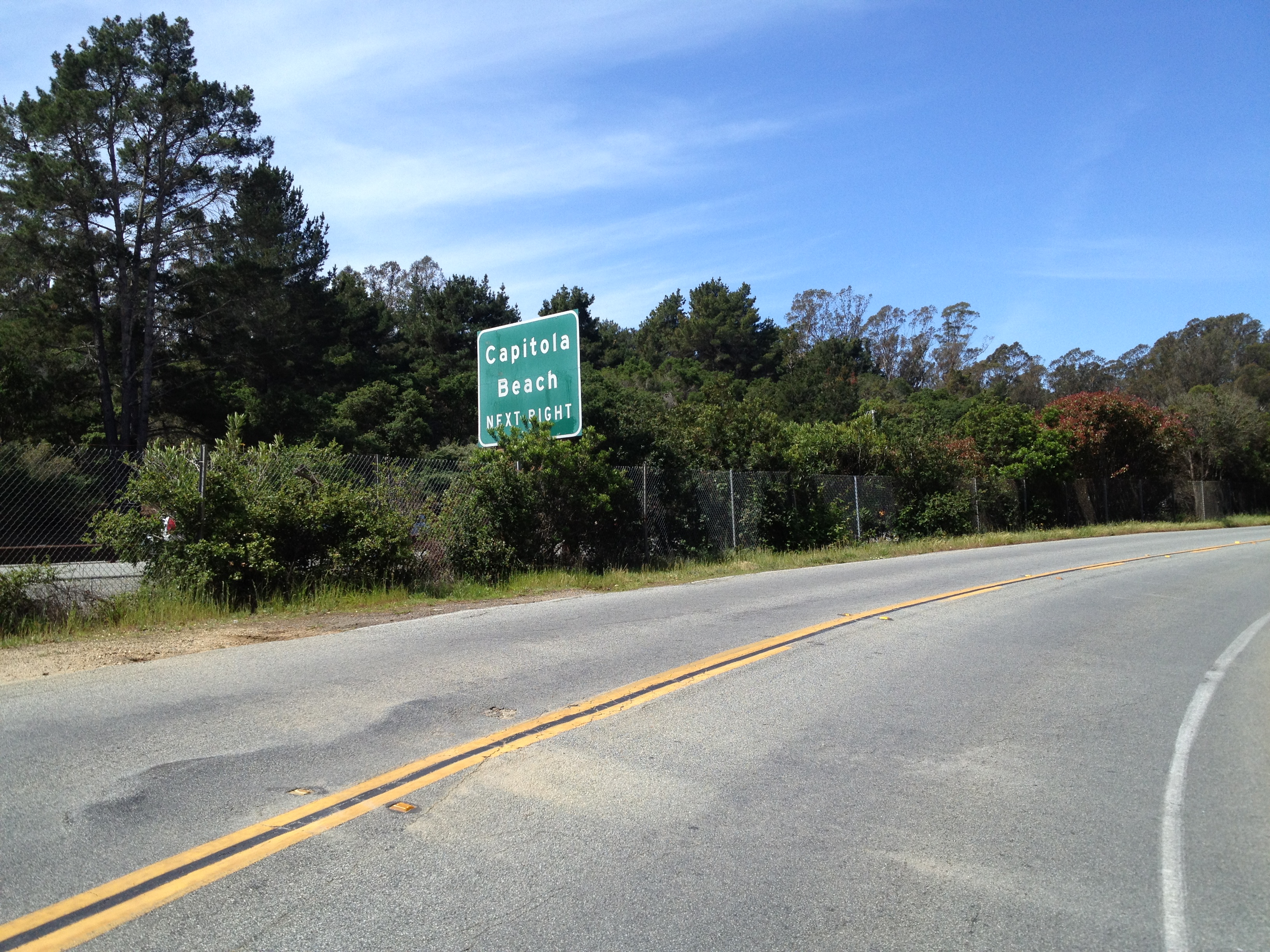
Almost there! This is taken from a side road, paralleling the coastal Highway 1.
I arrived in a bit over 2 hours, well before their 12:00 opening time.

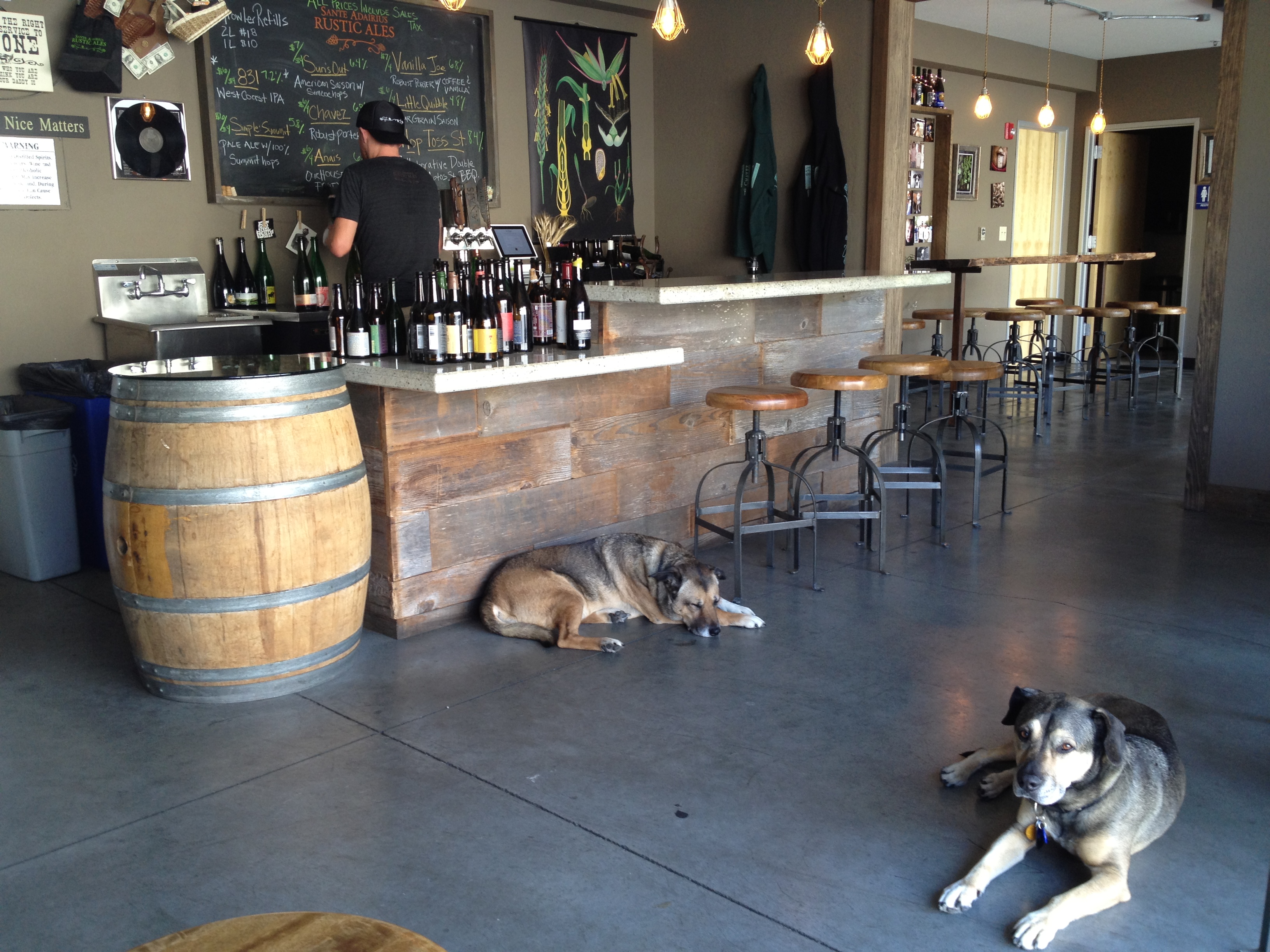
Doors open at 11:55. First customer of the day!

A very relaxing place!
That’s it! (Did I mention that the car was still 20 miles UPHILL from here? 3 hours 45 minutes to return, beating my previous time by about 45 minutes)
Here’s my track: 41 miles, 6193 feet. The GPX file is downloadable in the “Tools” tab on the left http://www.strava.com/activities/137546261


")


