
A few photos from a recent adventure in Henry Coe State park!
It’s a great opportunity on summer weekends to drive 7 miles further into the park than you normally can. Dowdy Visitor’s Center: http://coepark.net/pineridgeassociation/planning-your-visit/visitor-centers-and-park-entrances/dowdy-ranch-visitor-center
(It is also possible to park your car at the bottom, at Bell’s Station on Highway 152 any day of the year and hike or bike those 7 miles. It’s about 80 minutes up, for a reasonably strong cyclist, and alot shorter going down, shouting “wheeeee!”)
The sign down at Highway 152:

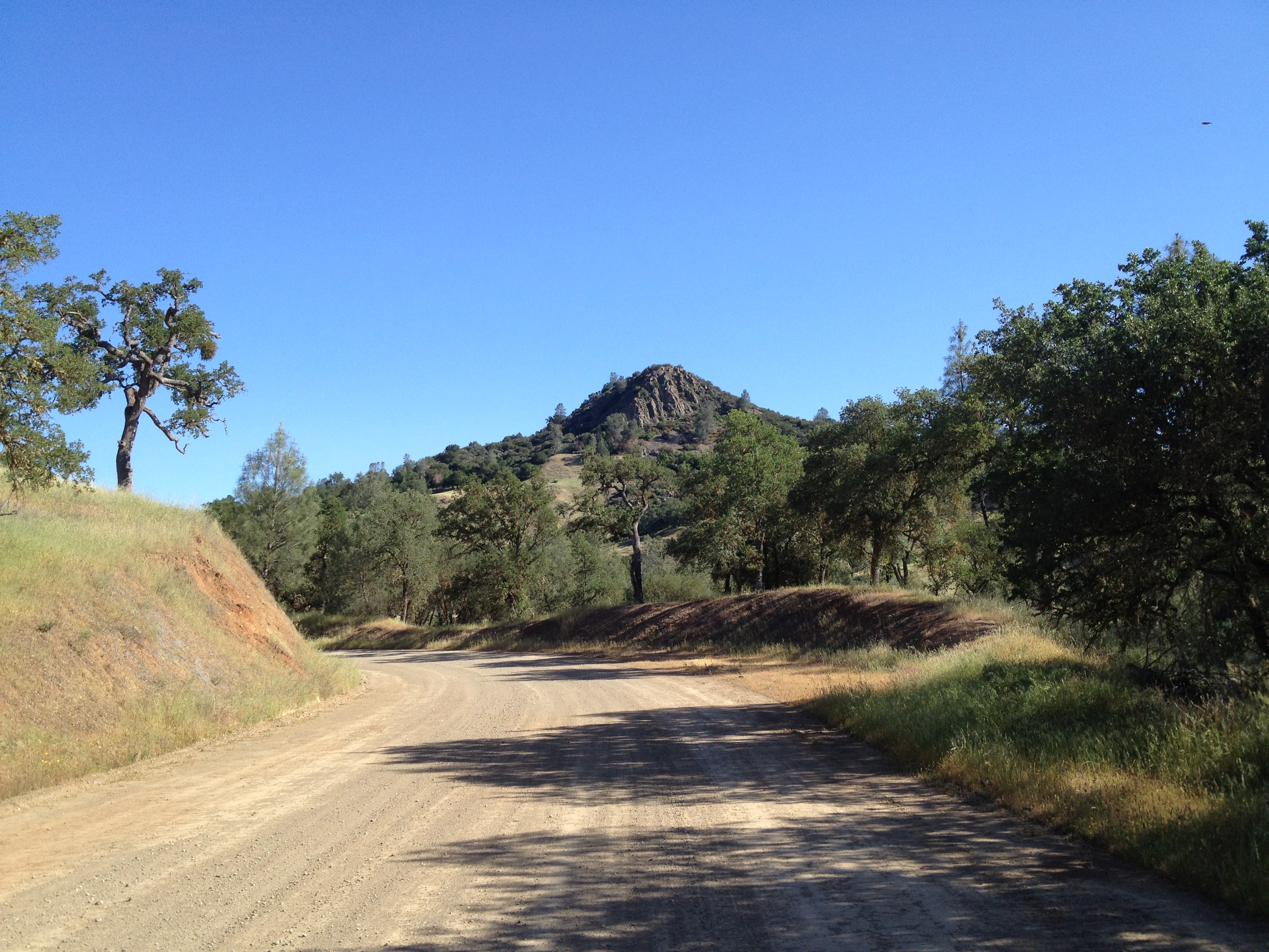
Tie Down Peak, taunting me once again. (https://alpharoaming.com/2012/09/26/rattlesnake-adrenaline-rush-tie-down-peak-at-henry-coe/) A few miles north of the Dowdy Visitor’s Center:
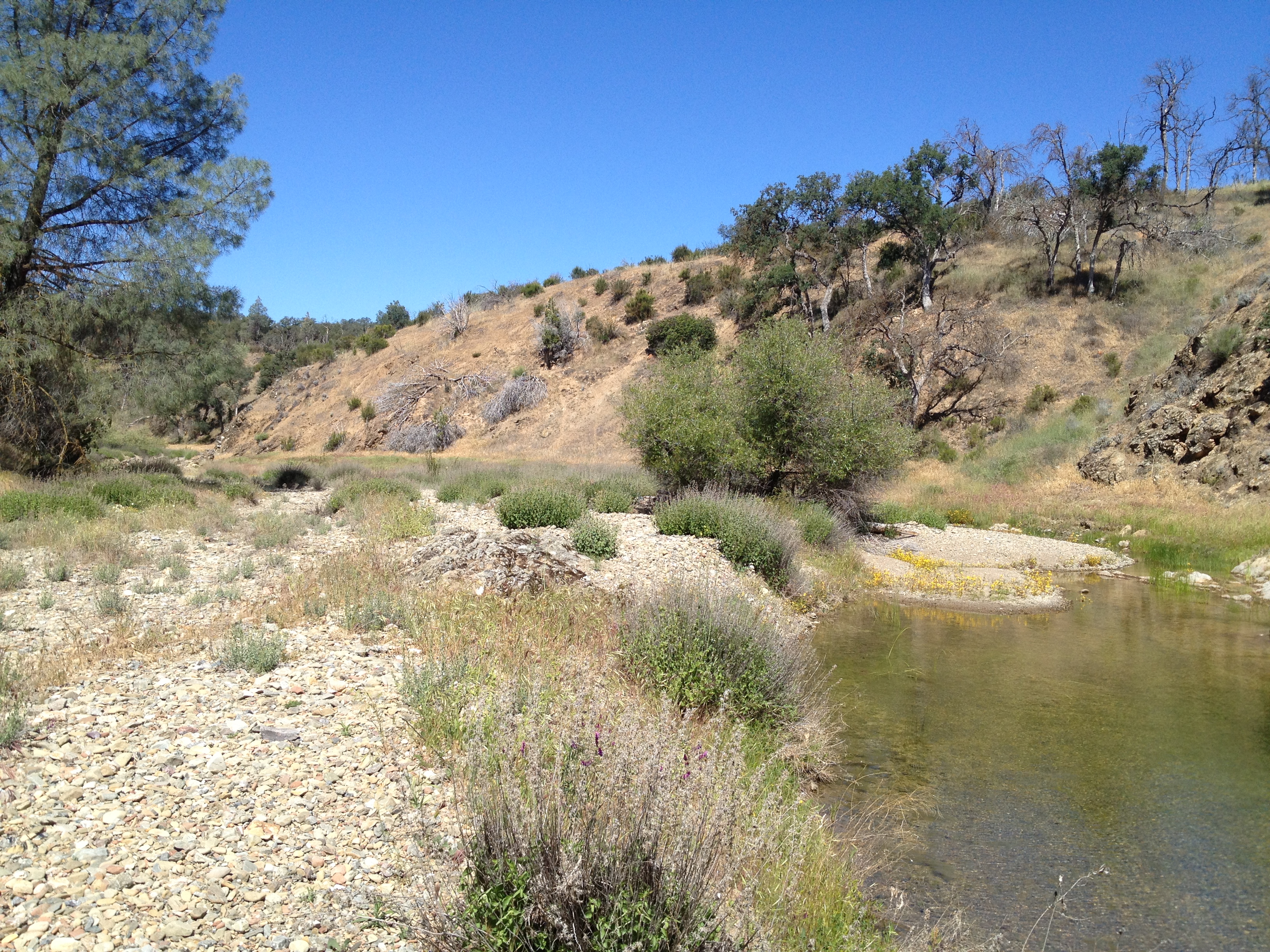
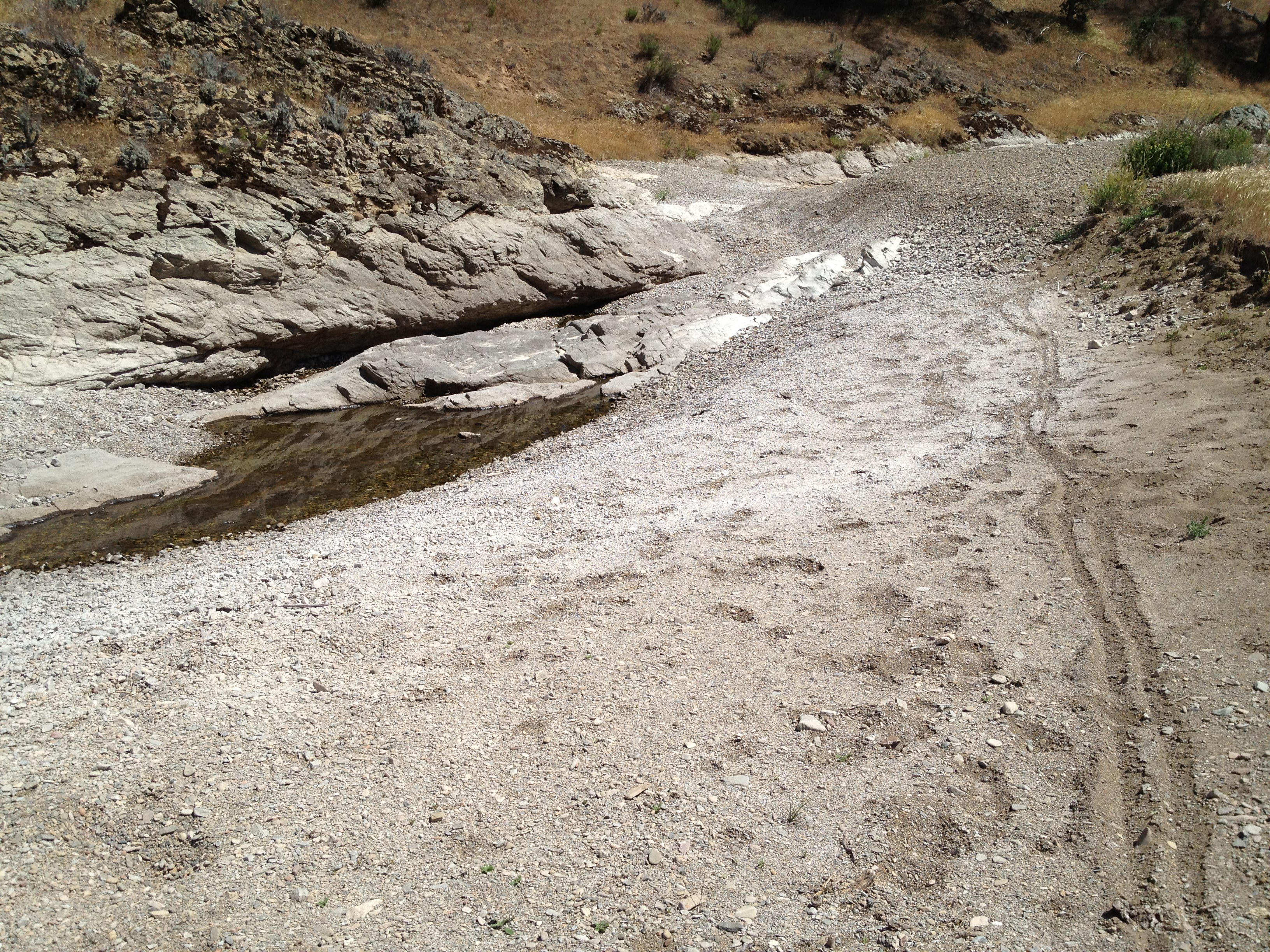
The last little creek crossing before Orestimba Corral. Quite dry compared to previous years!

Orestimba Corral and a drinking water barrel that was to be used at Backcountry Weekend.

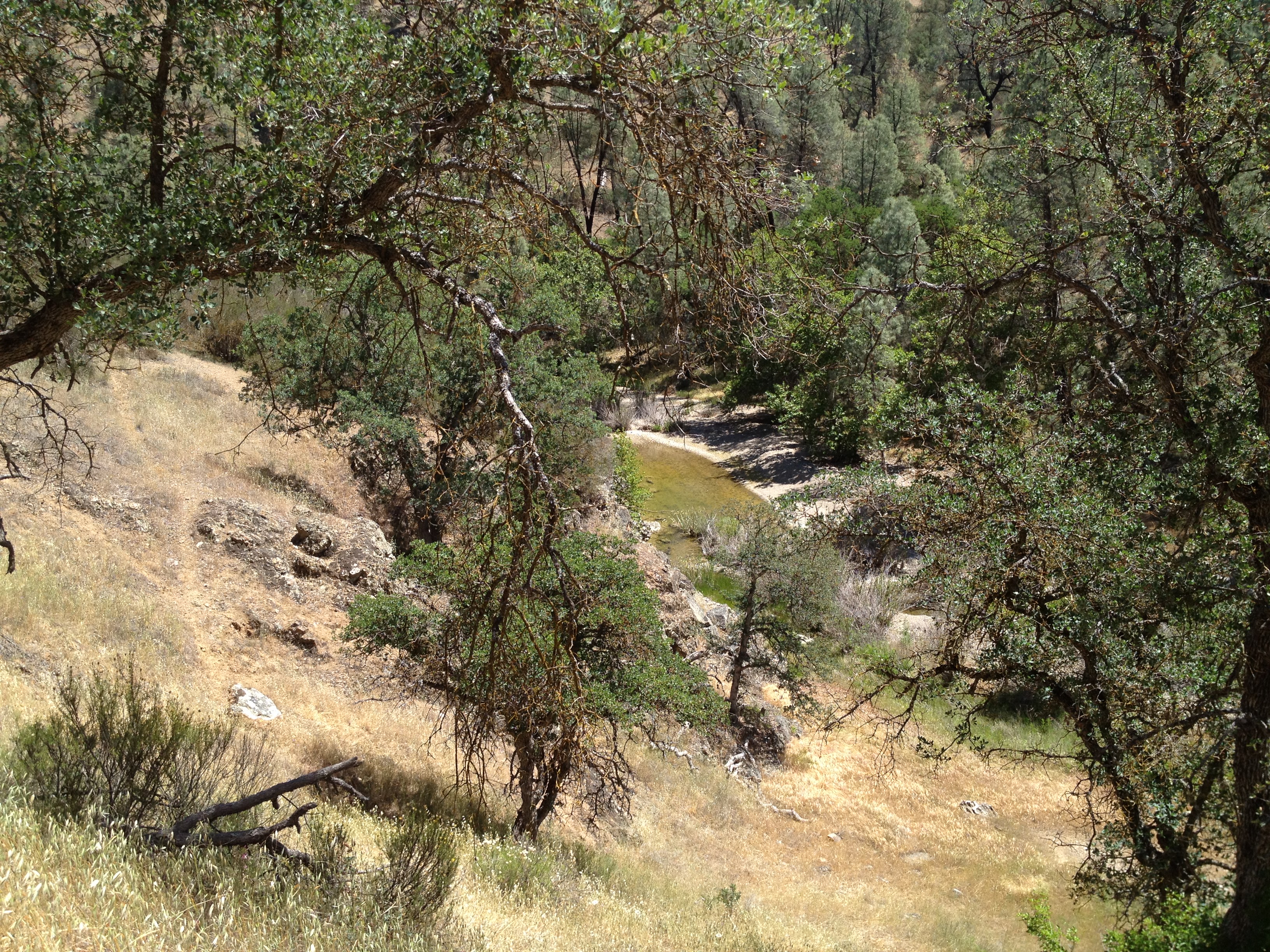
No flowing water for many miles, but there are still some inviting “puddles”:
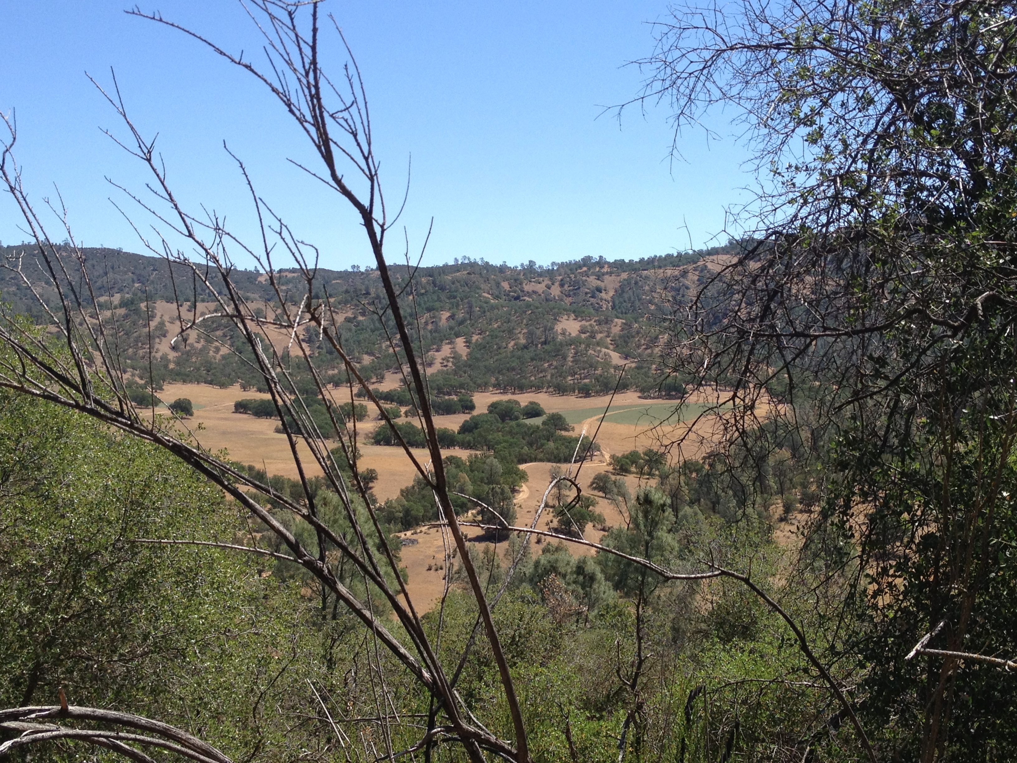
About 5 miles past Orestimba Corral and you’ll see the prominent “Rooster Comb” come into view:

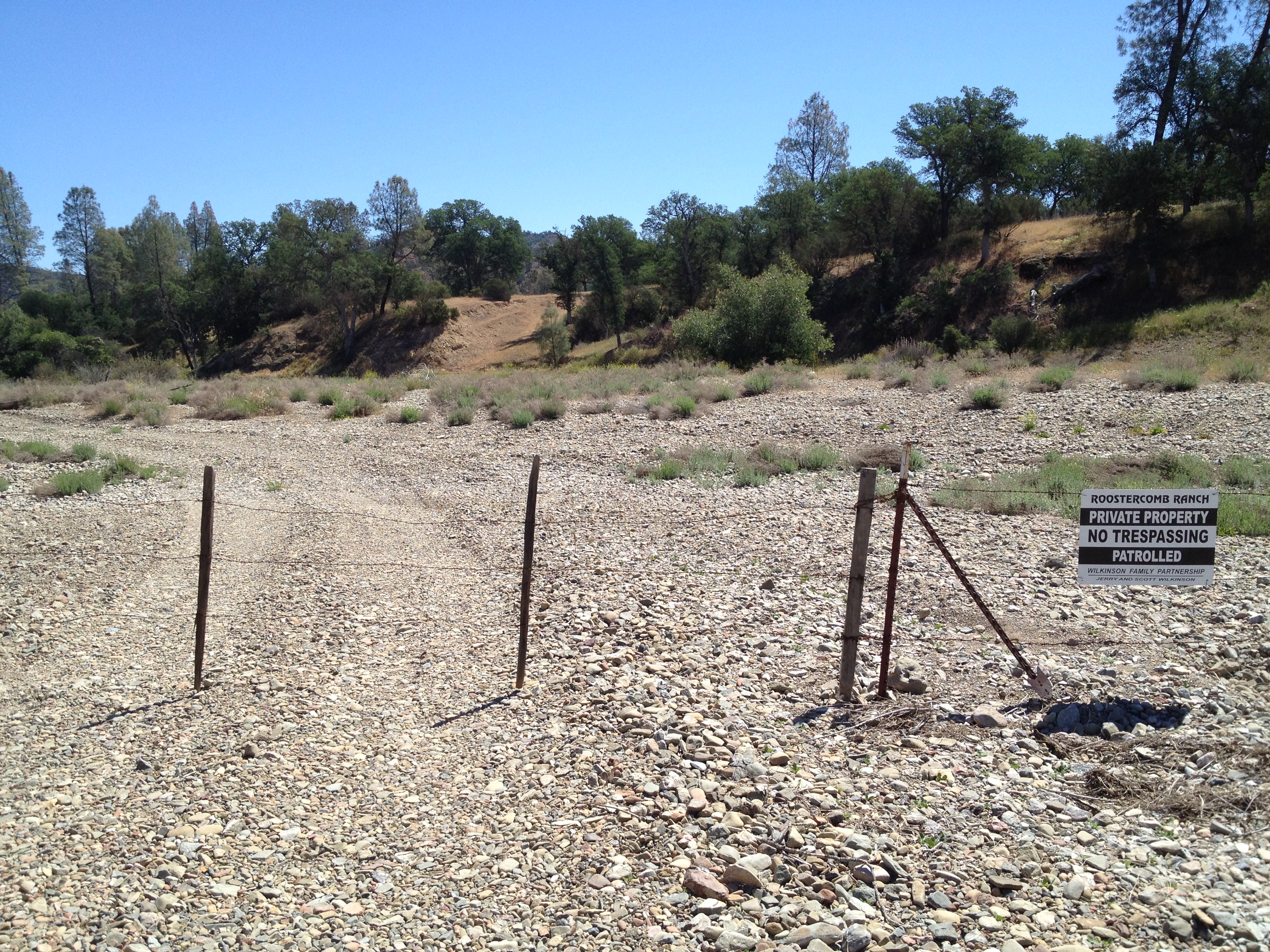
The “Rooster Comb Ranch” owns the creek valley in this area. You’ll need to take a trail up the flank of Rooster Comb:
“Mariposa Lillies” are common in the late spring:

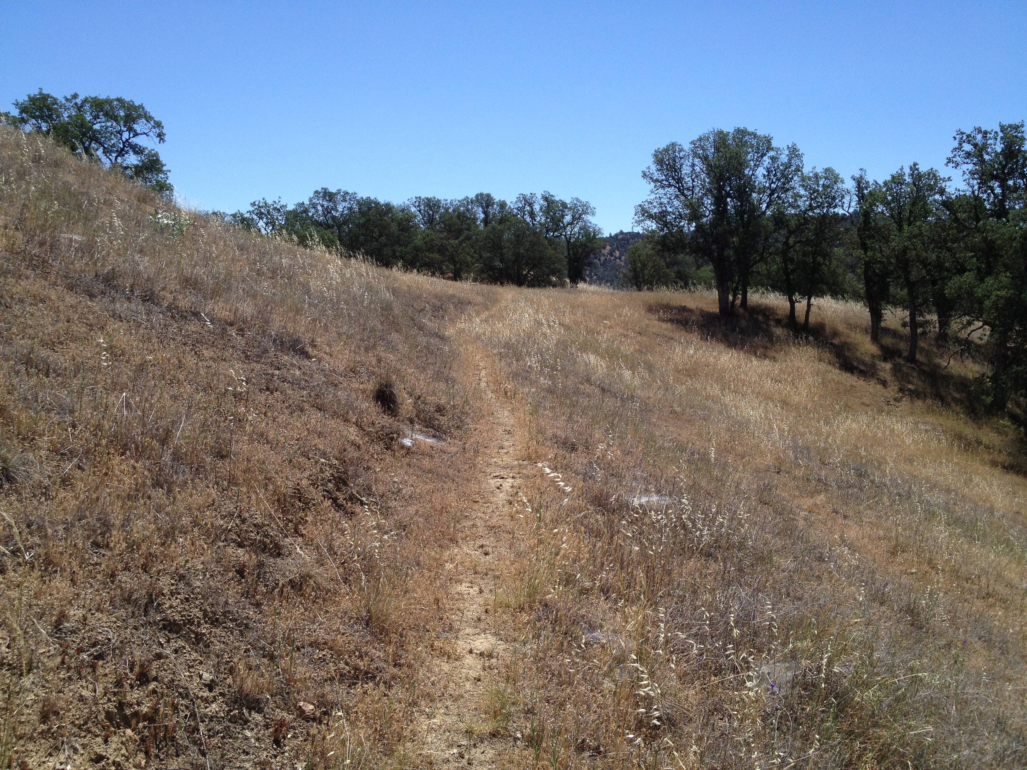
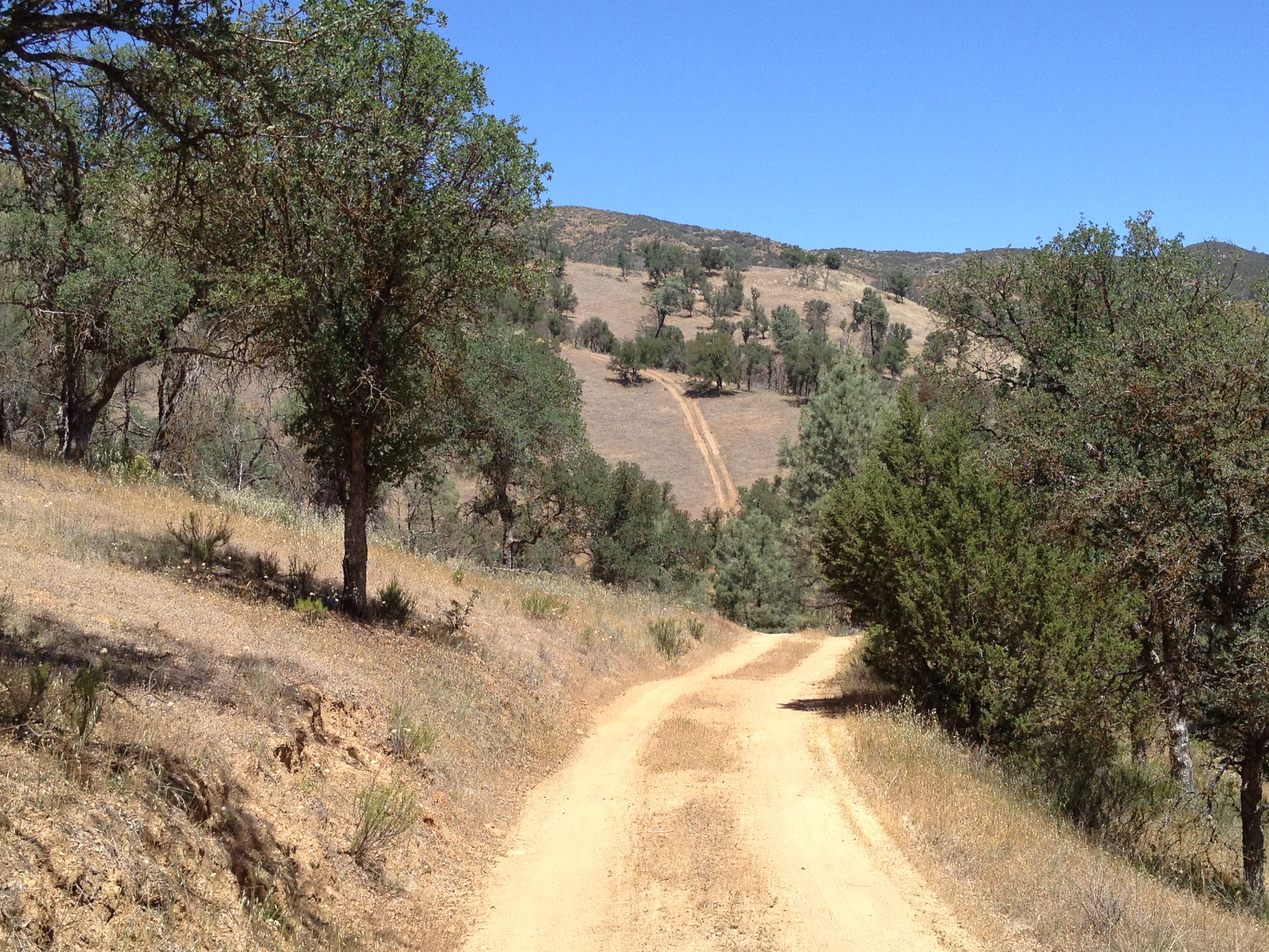
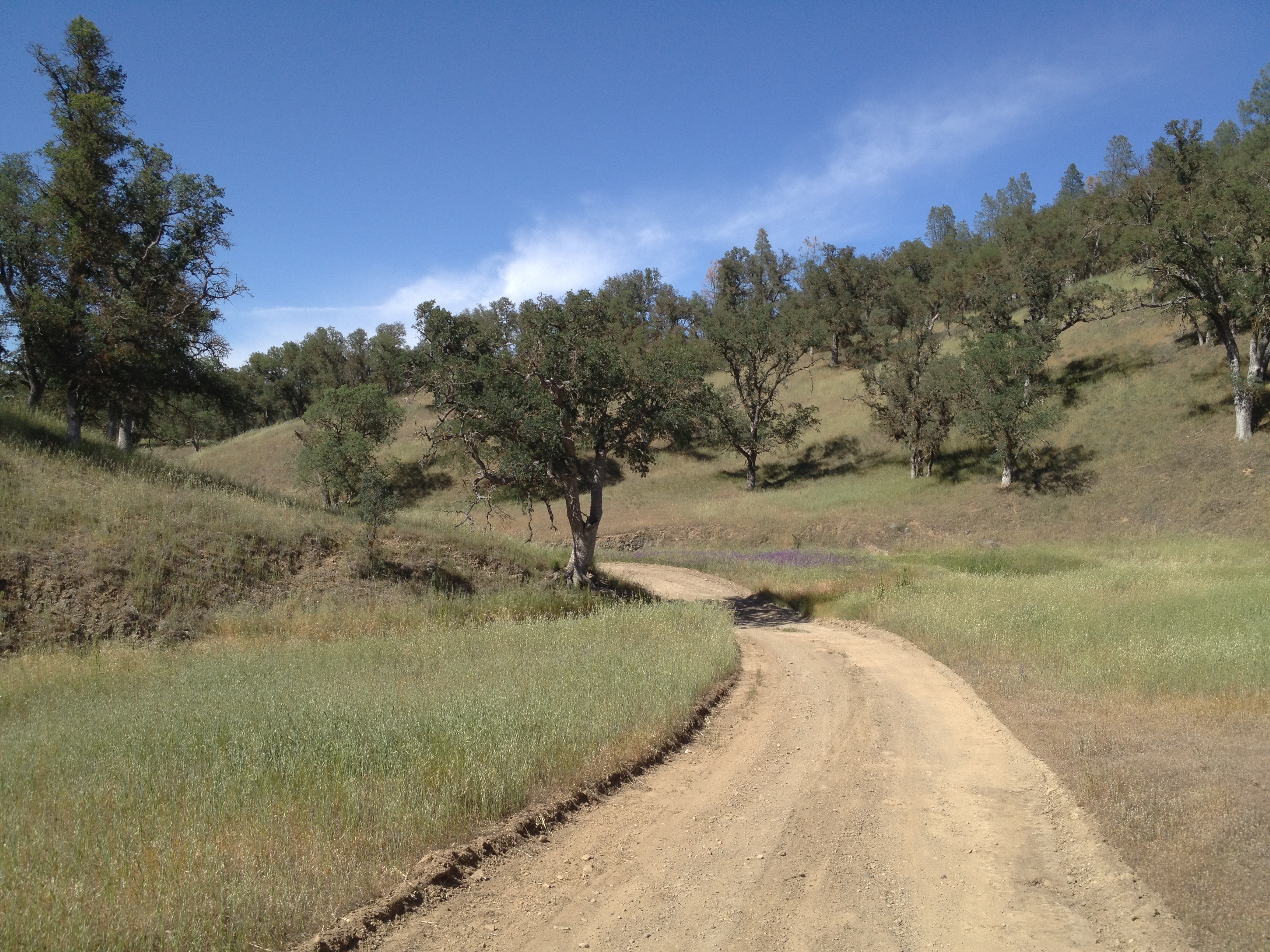
A “typical” stretch of trail headed up Rooster Comb. (It’s wooded on the more northern part of the trail)
Getting a bit closer:

Looking down into the creek valley. Note the patch of green grass across the way. It appears to be irrigated:
The turnoff to head up the the top of Rooster Comb:

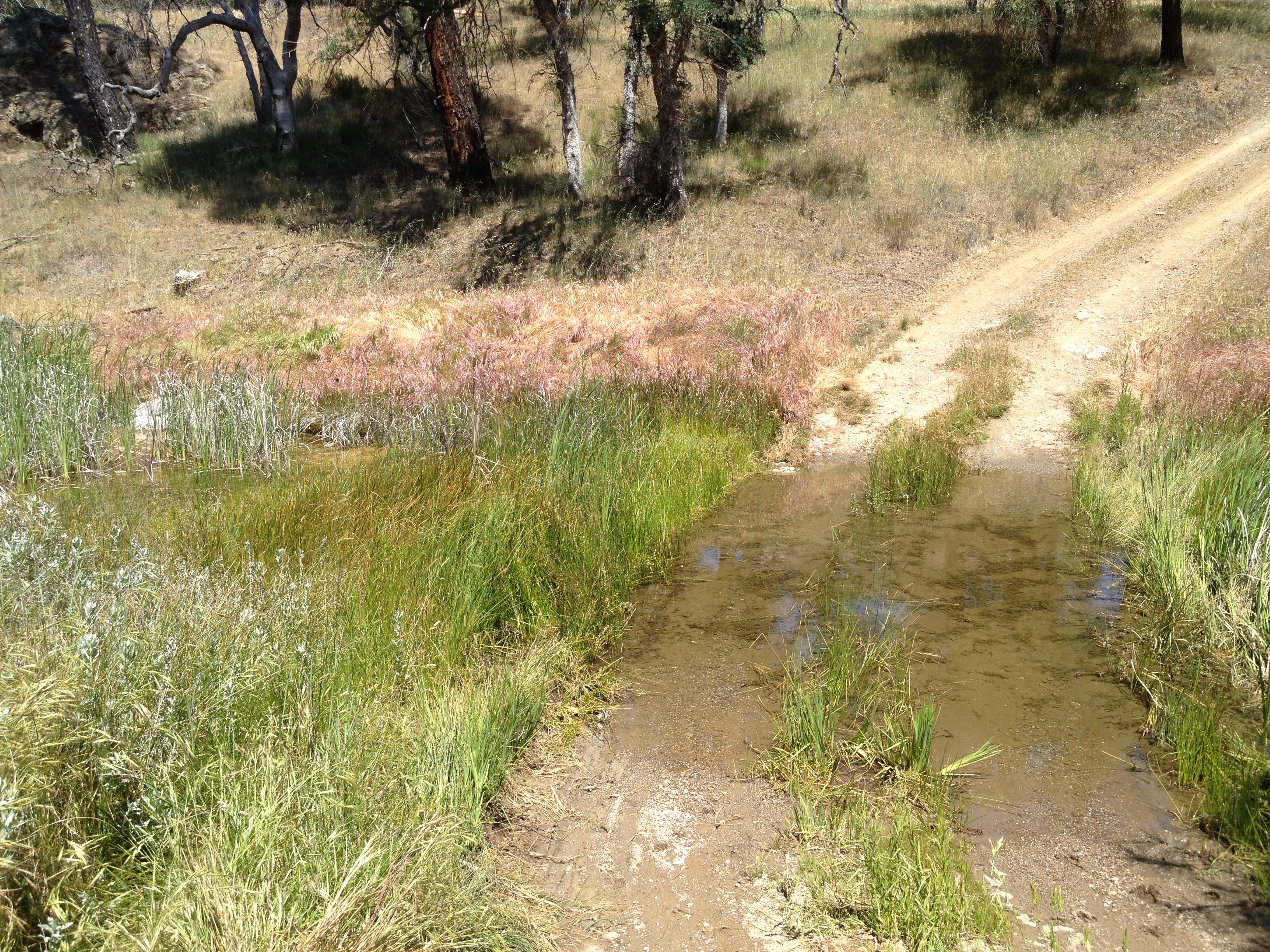
Flowing water in the valley north of Rooster Comb…the first I’ve seen!
Almost to the north-east boundary of the park:
Robison Creek, just above where it enters Orestimba Creek:
Just to the left, looking upstream:

Signs, just inside the park boundary:

I was looking for “Robison Falls”, as marked on the map. There was flowing water, obscured by alot of tall grass and poison oak. I think this is the area…maybe I missed it. I have no idea and I can’t find a picture of it. The rock (below) is located at N 37° 16.909 W 121° 21.733 I certainly didn’t see any dropoffs as large as Pacheco Falls (https://alpharoaming.com/2014/04/28/pacheco-falls/) or Grizzly Falls.

Update, May 17, 2014: Based on discussions with a few others, and a peek at Google Earth, the falls are ~600 feet upstream of the big rock mentioned above. Chris Kangas provided this photo and coordinates from April 2009:

Robison Falls, April 2009
Photo credit: Chris Kangas
N 37° 16.893 W 121° 21.853
As I was heading back, I wandered off the road/trail to take a peek at this small pool for fish and other doomed creatures. I noticed footprints and a set of bicycle tracks:
More mind-numbing miles back!
Short “photo essay”, unlike my usual wordier ones. Have fun, and prepare VERY well for heat, sun, injury, rattlesnakes… (this is a starting point for what I carry: https://alpharoaming.com/2013/12/02/my-own-23-essentials-for-comfort-and-survival/ )
")


Thanks for the pic trip-I hope to loop around Robison Mt from HQ this spring (’17).