

The Forest of Nisene Marks State Park, near Santa Cruz CA, has miles of established trails in lush second growth redwood forest. http://en.wikipedia.org/wiki/The_Forest_of_Nisene_Marks_State_Park …however, with all the established single track trails and double track “fire roads”, there are many acres and areas that are quite difficult to access and rarely seen. This includes the upper reaches of Aptos Creek.
There are 4 local Geocachers (http://www.geocaching.com) who, starting about 4 years ago, entered these areas and placed some geocaches (“navigation beacons”), as well as documented their adventures with write-ups, photos, and historical research. Despite this flurry of activity, some of these spots have gone unvisited since the initial visit 4 years ago. This past saturday I joined one of these modern explorers and a small group to go up Aptos Creek. (…though by no means were they the first humans there! The creek area includes the ruins of at least one lumber camp and several railroad trestles, used for a short period when the area was being clear-cut of the first growth redwoods. Other than the occasional railroad tie or piece of steel rail in the creek, you would never know!)

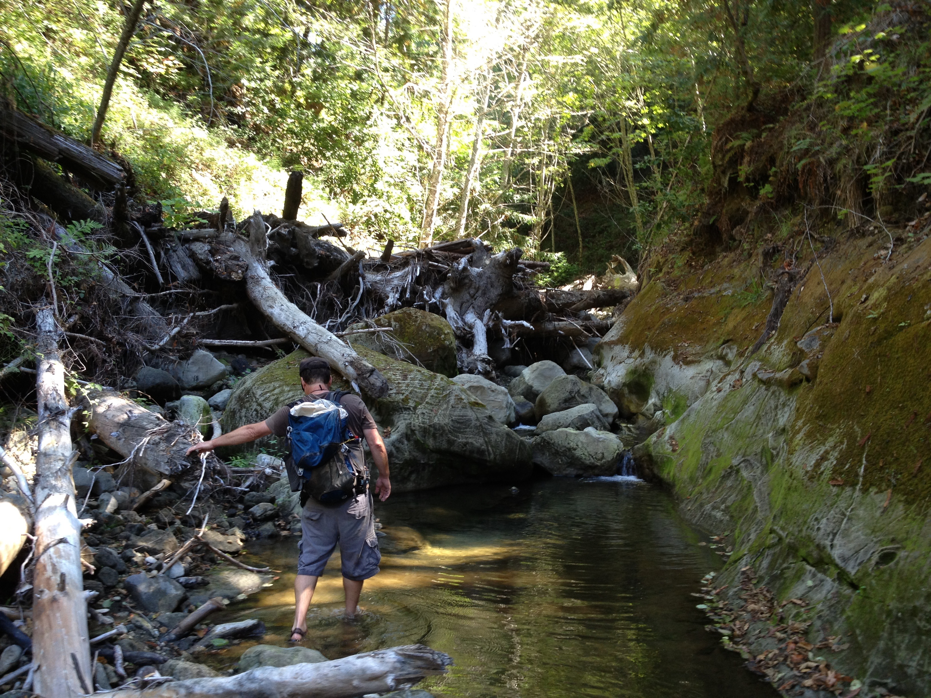
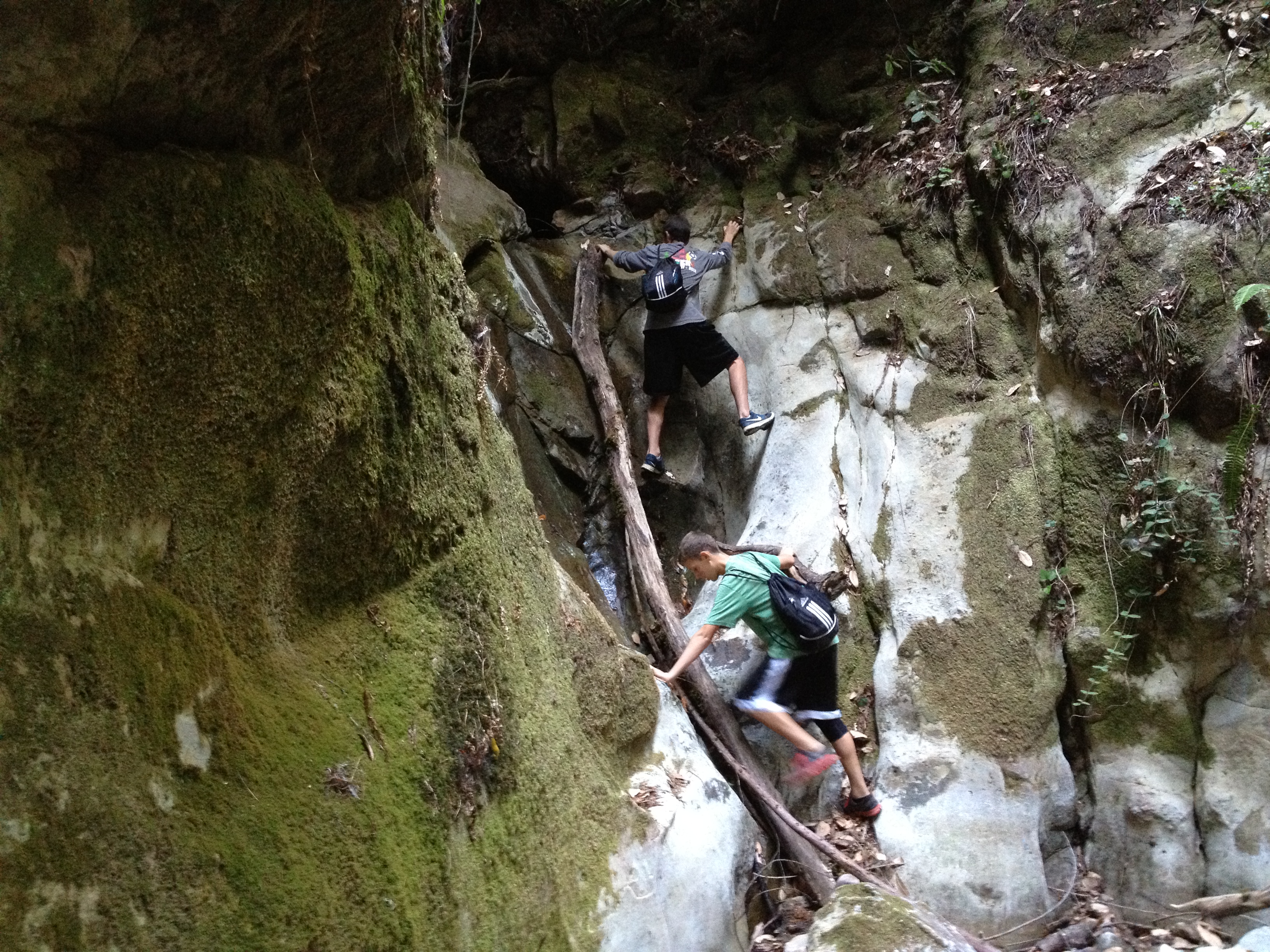
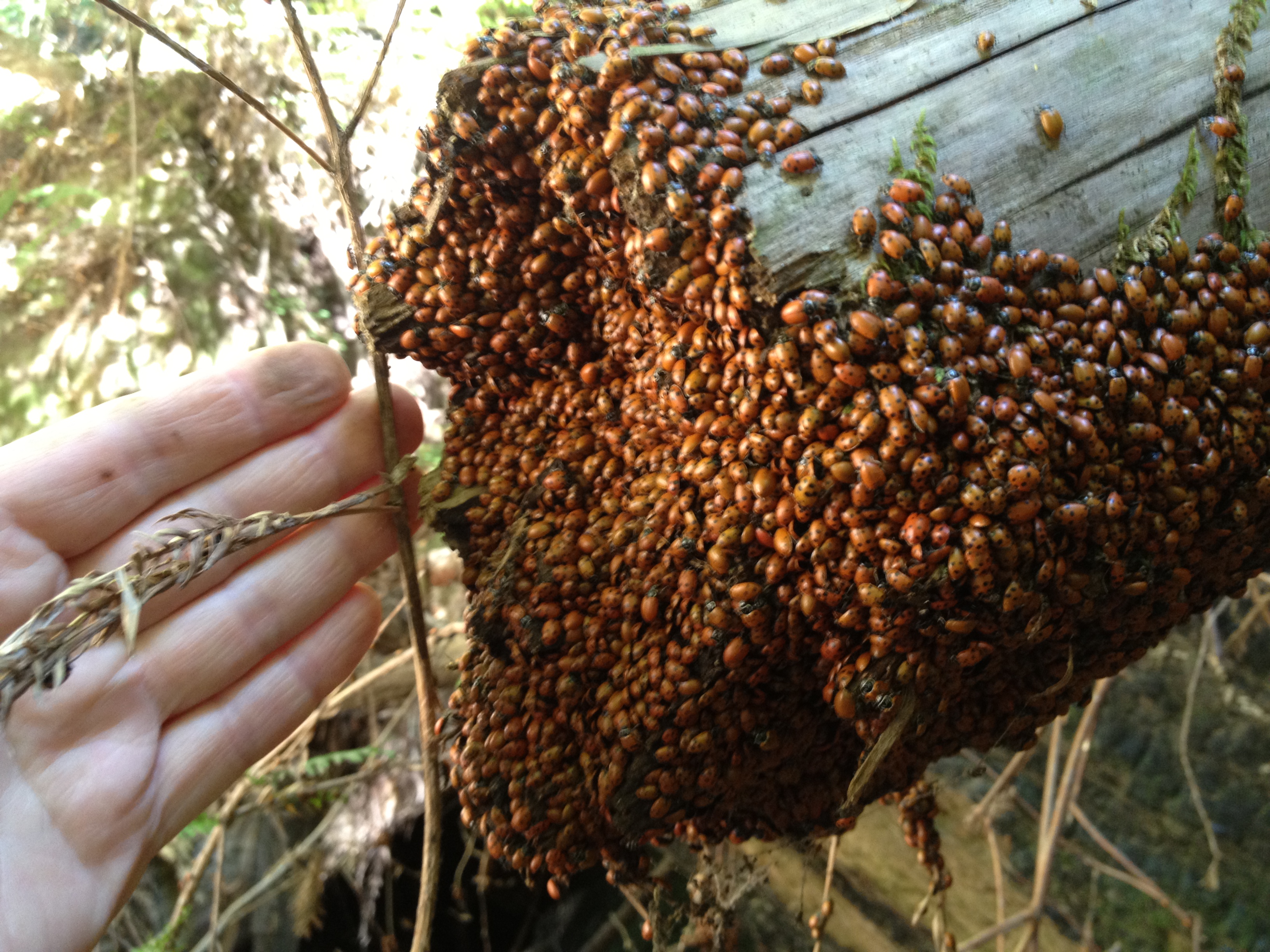
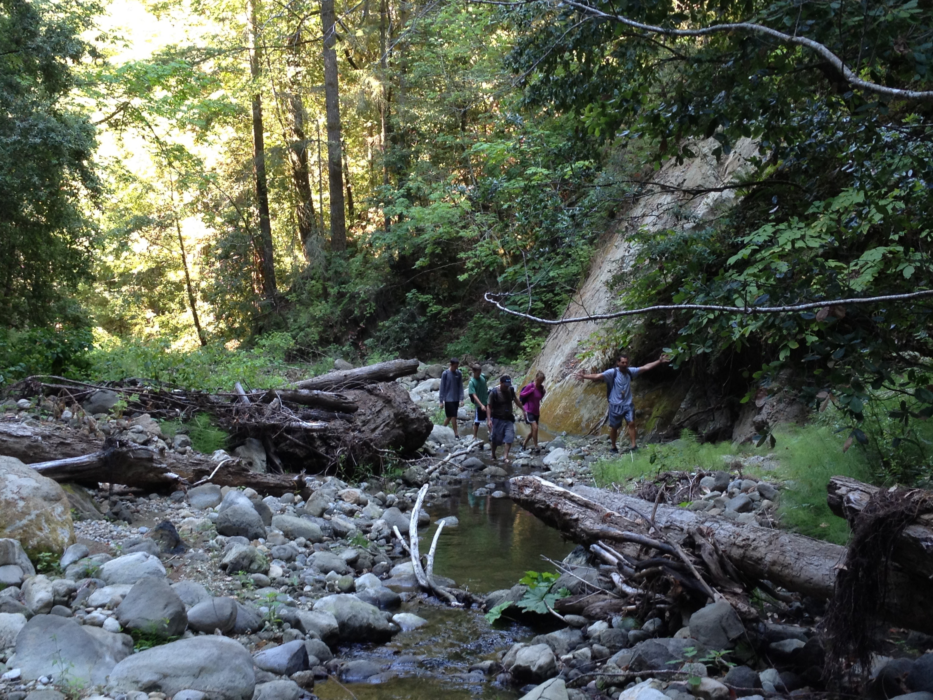
Wow…prior to the trip we estimated 6 to 10 hours to go upstream, then back via the trail. It actually was just short of 14 hours, including scaling miles of rocks, waterfalls, and downed redwoods and seeing some beautiful scenery, including “5 Finger Falls” and hordes of ladybugs. We did not “just” go to “5 Finger Falls”, also called “Aptos Creek Falls”. We ventured further than any other (non-Geoaching) write-ups I could find on the internet. We stayed in the increasingly narrow and more difficult creekbed for several steep miles beyond that, up to the “source” of Aptos Creek near where the first trickle of water starts seeping out of the hillside way up above the coastline of Santa Cruz County. It was slow going, at an average pace of 1 mph for 9 hours. Picking our way through water, rocks, and logjams often required backing up and retracing our steps a bit to find a better path.
We stumbled back to the car, via flashlight, at 9:45PM. We were happy to not receive any “legal love letters” tucked under our car’s windshield wipers for being in the park way too late.
Now, as the sore muscles recover, and the blisters and scratches heal, my memory becomes sealed: WHAT A GREAT TRIP it was! It was an awesome adventure, which I would do again…but maybe not right away and maybe with an earlier start!


More photos: http://www.flickr.com/photos/59666465@N00/sets/72157635021945391/
The track up the creekbed: http://www.everytrail.com/view_trip.php?trip_id=2261492


")

