Tribute to Jack English (Pine Valley, Ventana, Chews Ridge, Carmel Valley & Pacific Grove road trip)

Back on December 12th and 13th we were having some glorious California sunshine and I decided to head to the Los Padres National Forest. Visiting the cabin of Jack English, in Pine Valley, has been on my to-do list for awhile and the temperatures were forecasted to be in the 60’s in nearby Carmel Valley. I called the Ranger Station to confirm the campground on Chews Ridge was still open for car camping, and off I went!

My goal was to visit the cabin of a 94 year old man named “Jack English” who owns a small inholding. He has lived there full time for 10+ years since his wife passed away. He is famous for his hand crafted violin bows and his welcoming of visitors.

This is a BEAUTIFUL video background of Jack’s story: http://www.adventure-journal.com/2013/10/video-of-the-day-jacks-cabin/

..and a very new LA Times article, with a great embedded video:

http://www.latimes.com/local/la-me-c1-jack-english-20131227-dto,0,2517916.htmlstory#axzz2ozeDlX5F

Video: http://www.latimes.com/videogallery/78687781/News/A-Valley-a-Cabin-and-a-Dream

Another great link! https://medium.com/cabin-porn/how-to-make-a-homestead-in-the-wilderness-6bdb6d5ec98f#.ii1uypvyz

My friend “Calipidder” tried 3 years ago and missed him: http://calipidder.com/wp/2010/04/ventana-wilderness-pine-valley-backpack/

So, now that you know who Jack English and “Scrumptious” are, back to my journey!

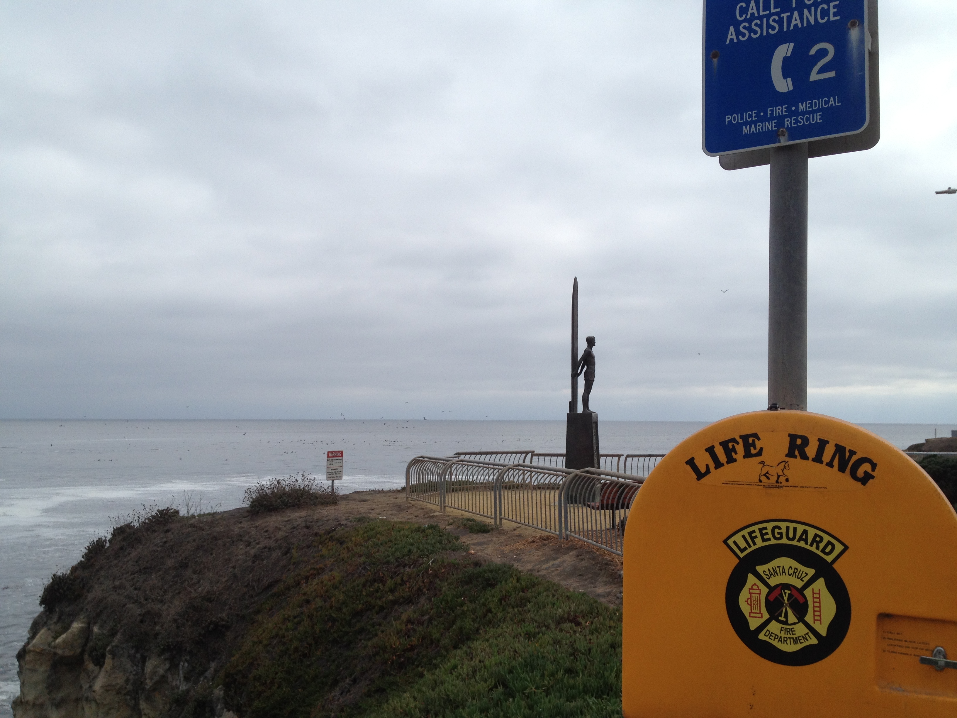
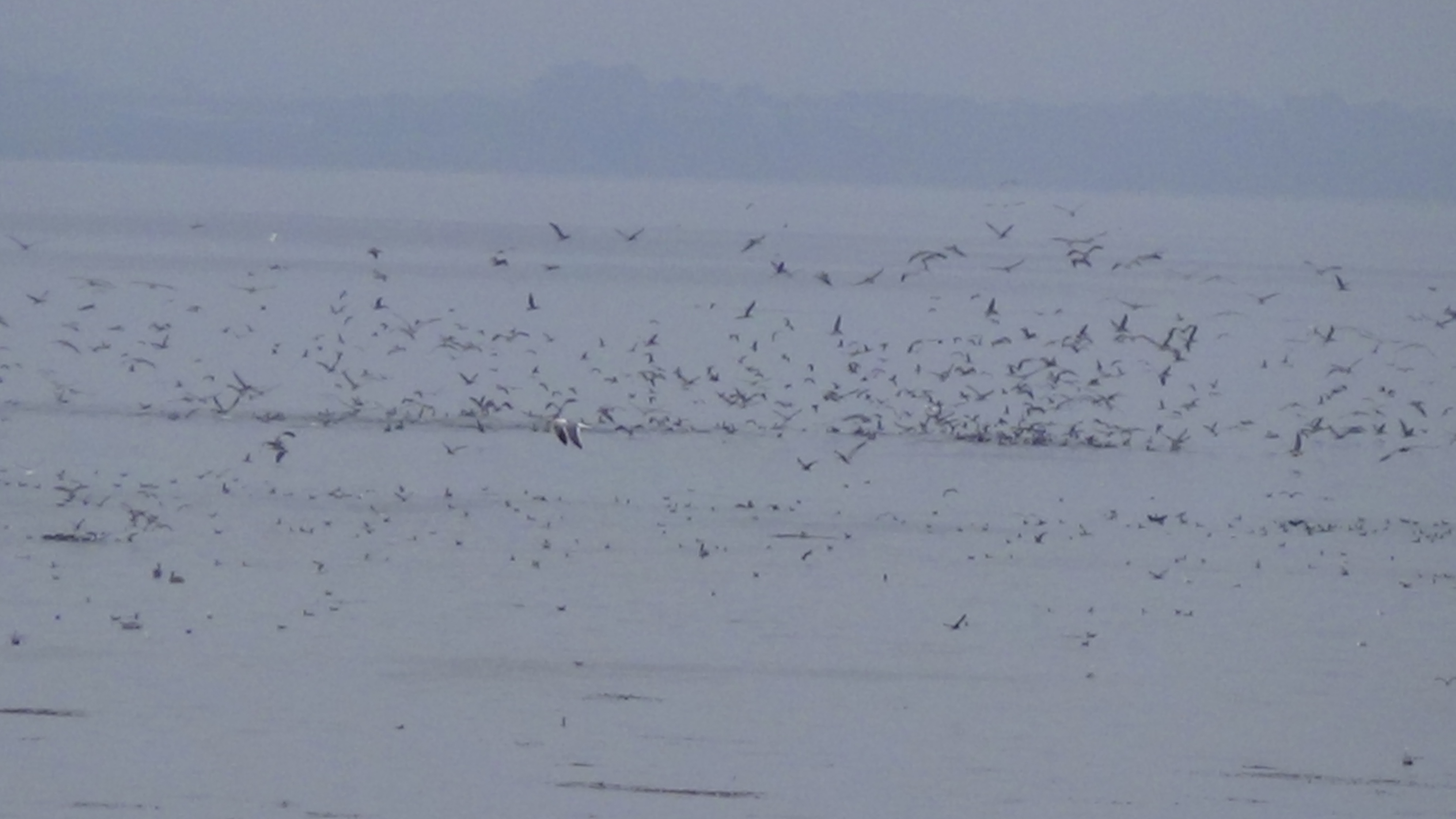
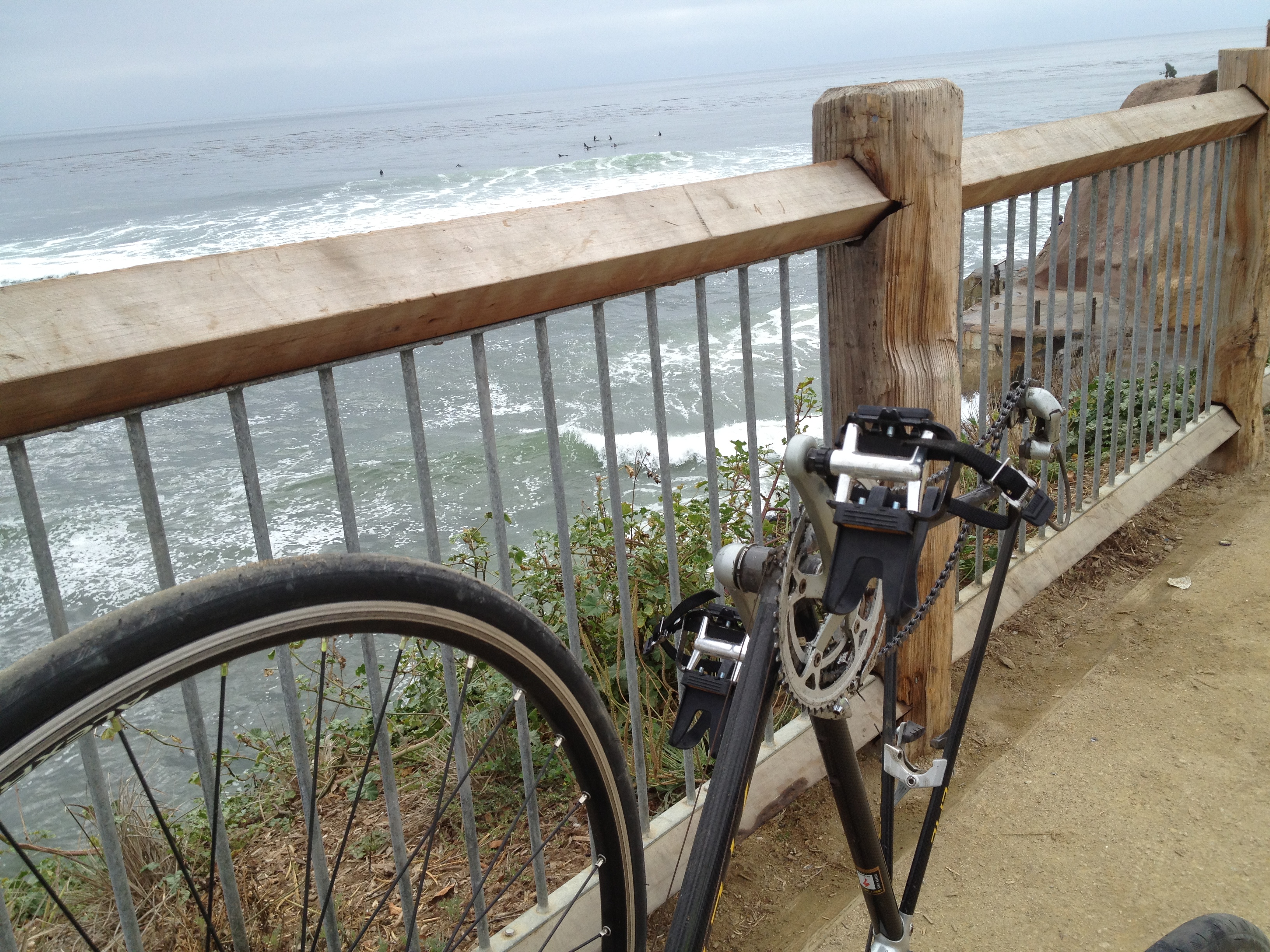
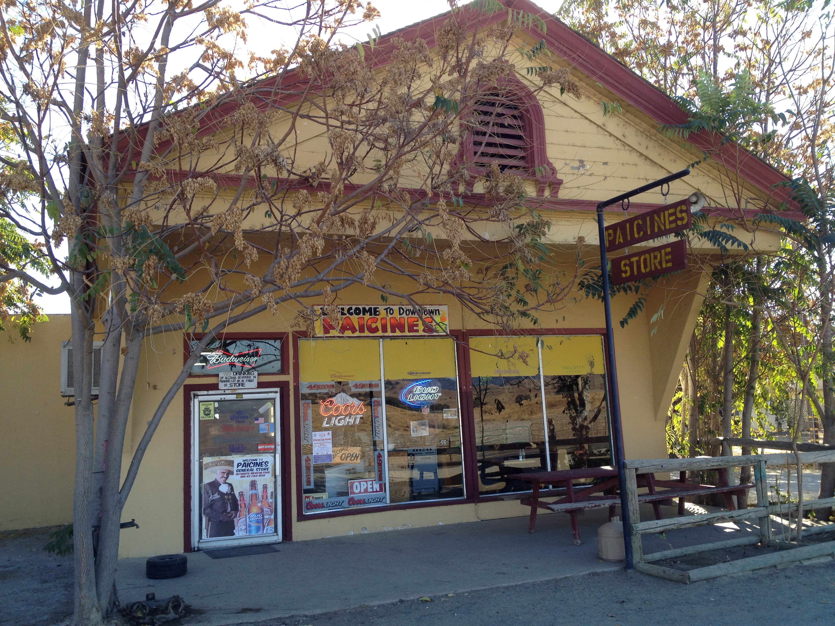
“Do you know the way from San Jose?” I stopped at the Marina State Beach, north of Monterey, before heading inland towards the primary destination:

IMG_7906

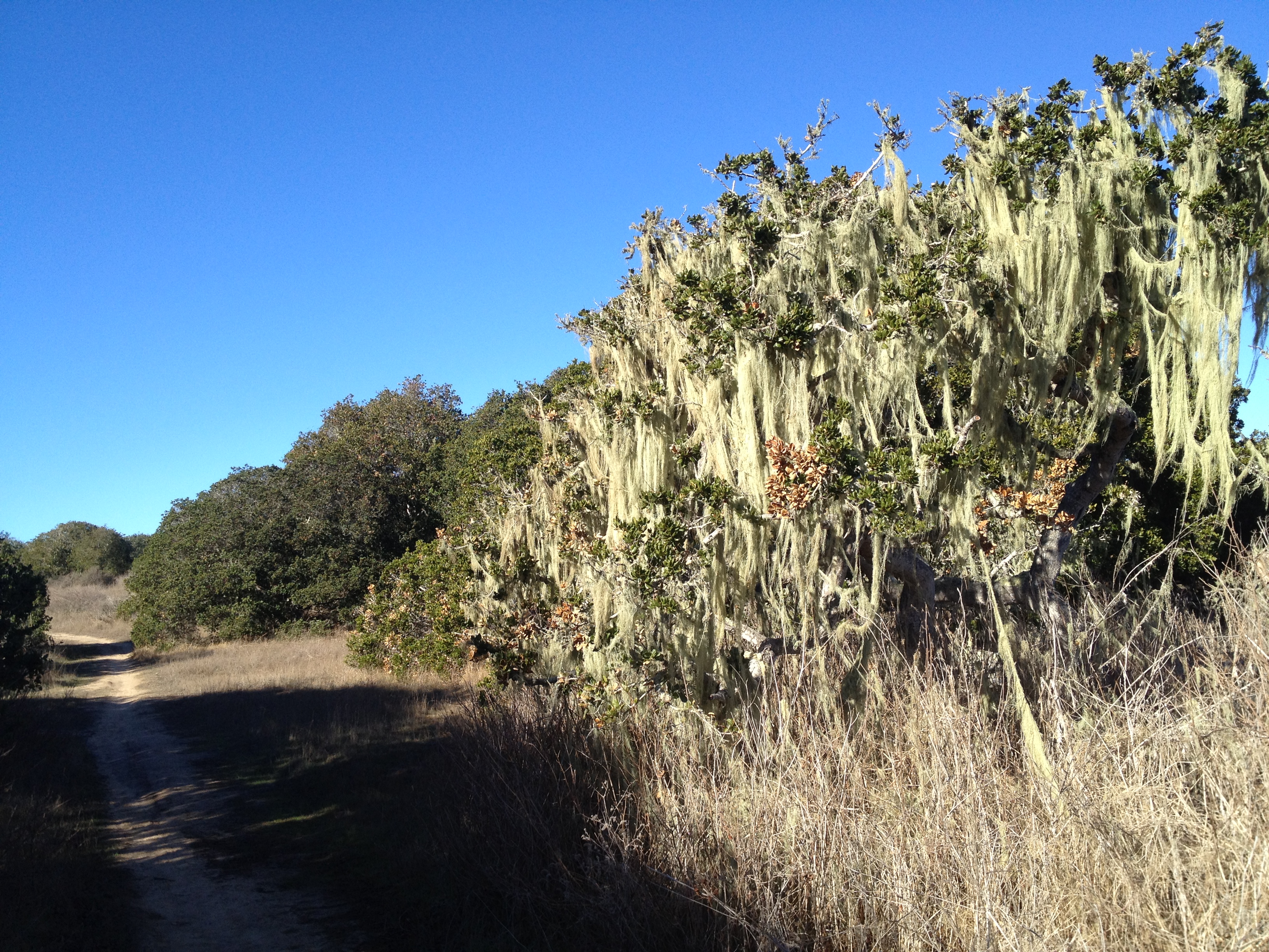
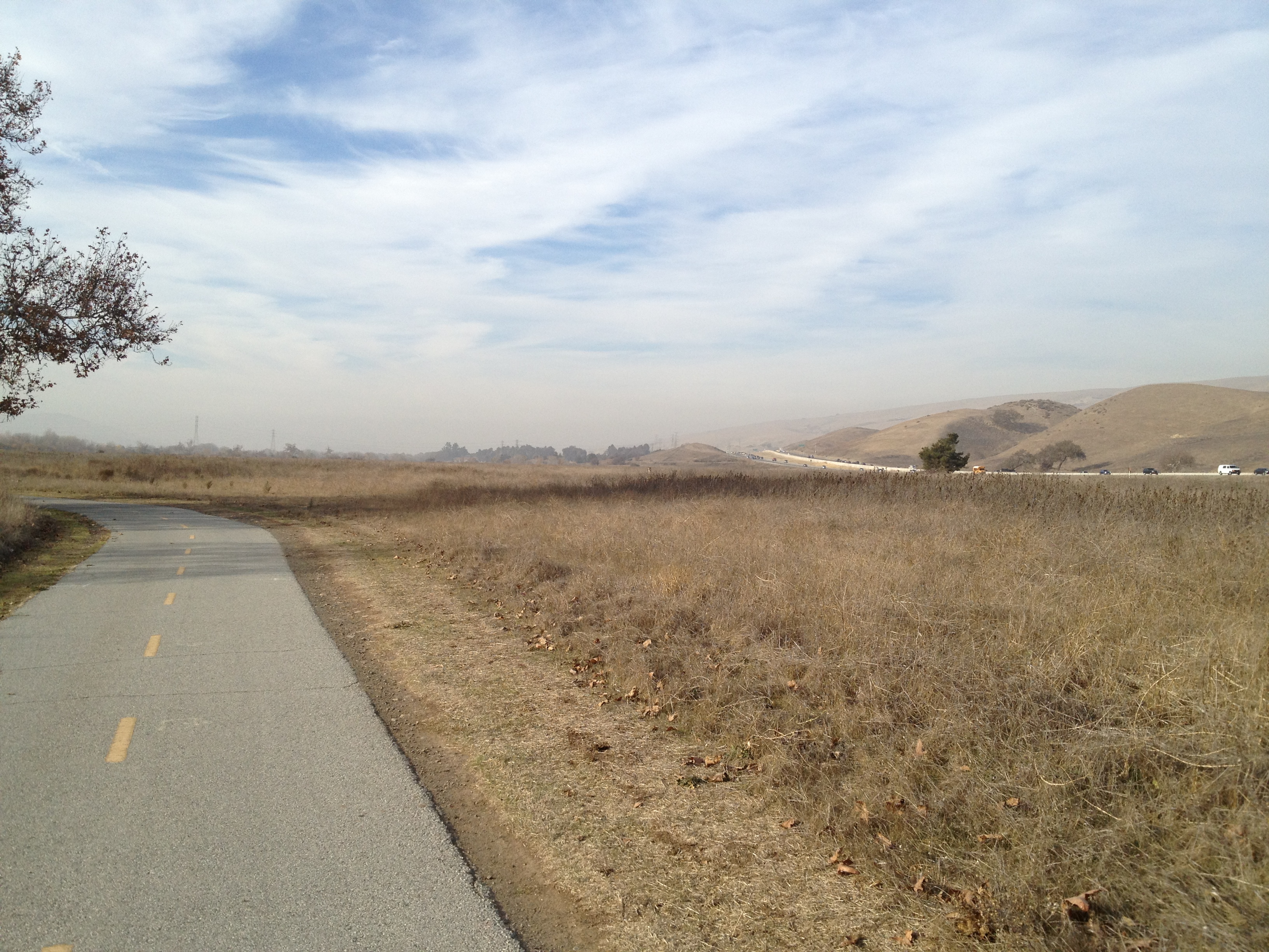
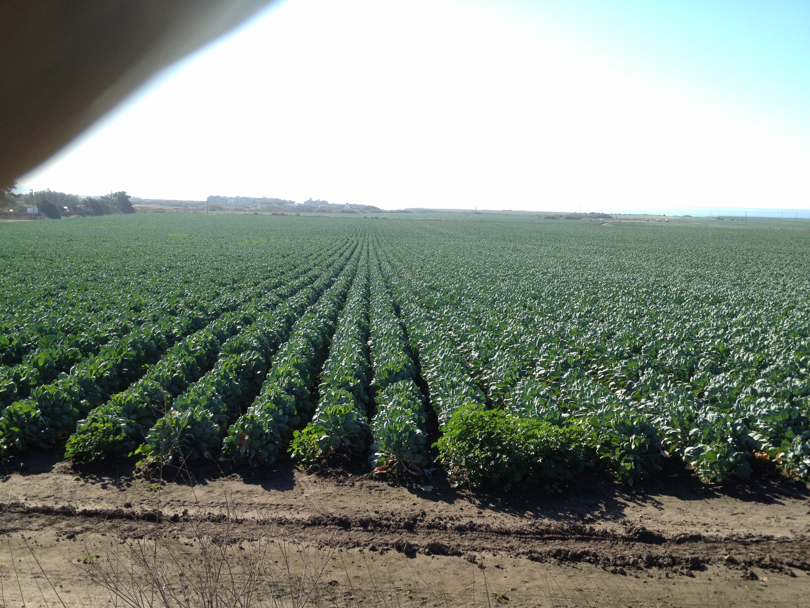
Also, “while I was in the neighborhood”, I stopped by the former Fort Ord, which is now partially open for hiking:

IMG_7910

IMG_7911

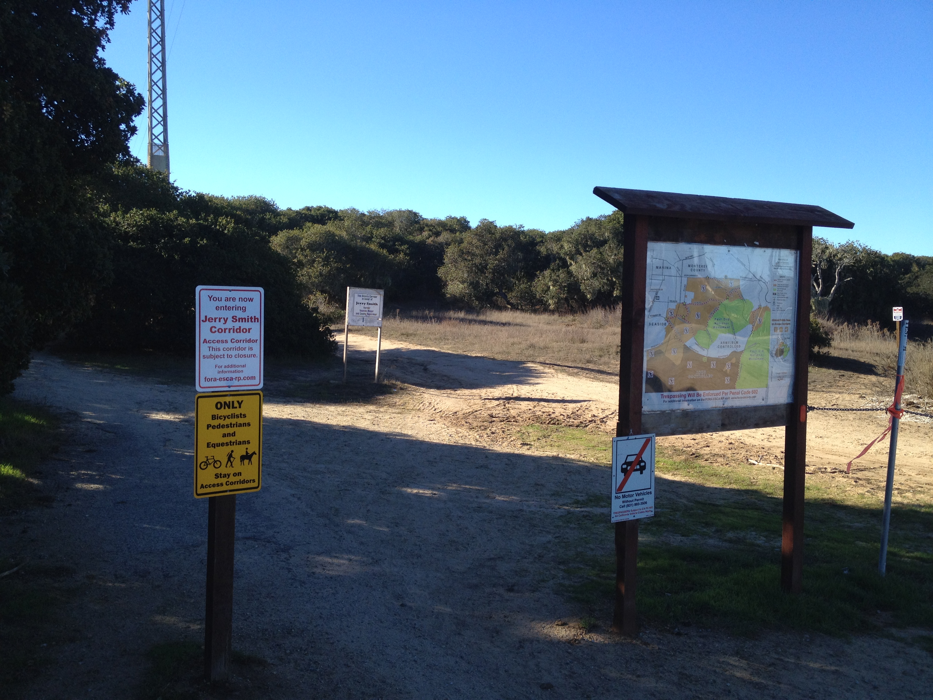
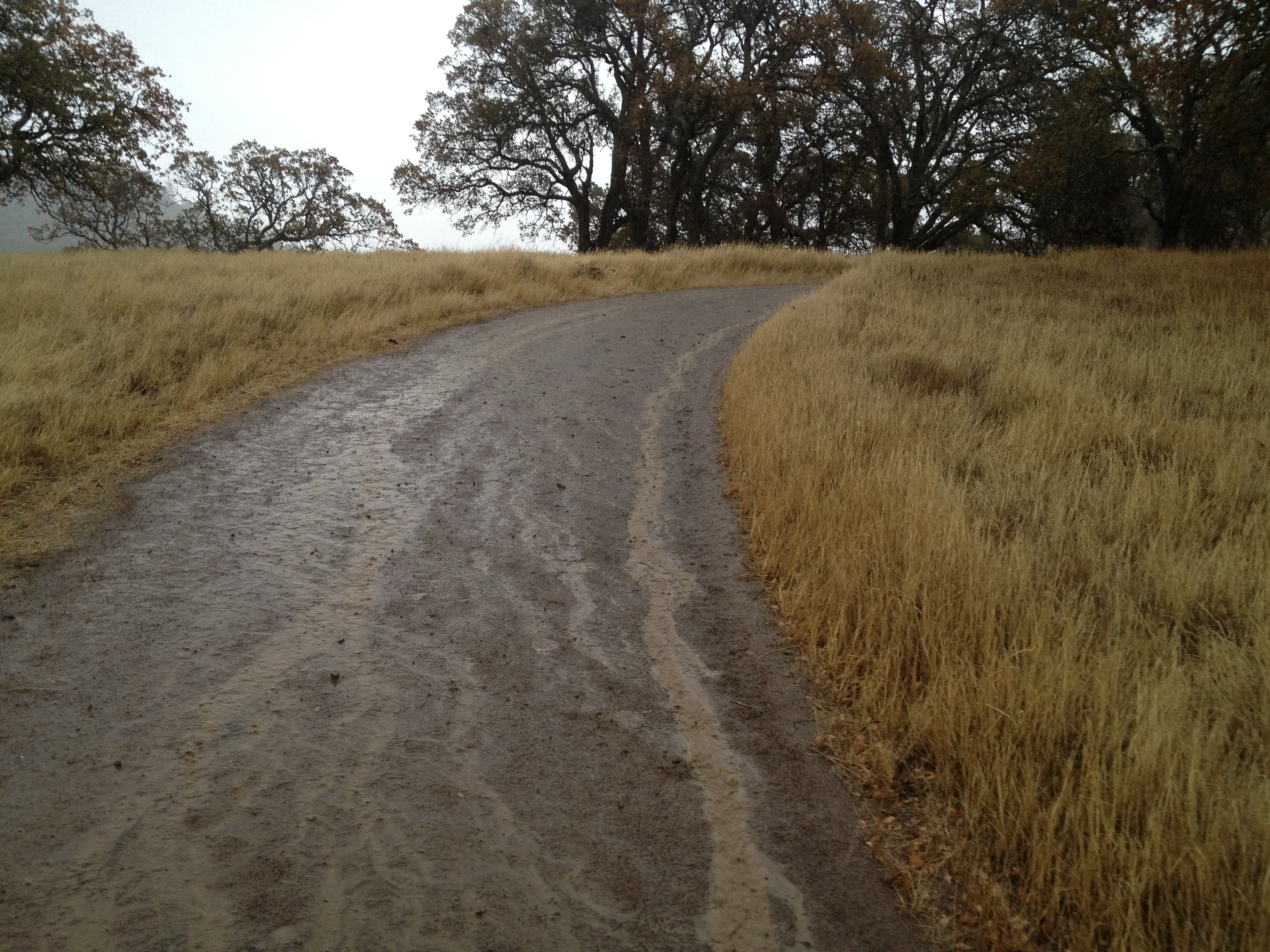
The hike included some quiet paths, majestic trees, as well as a formerly paved road that’s returning to nature:

IMG_7912

IMG_7914

IMG_7918

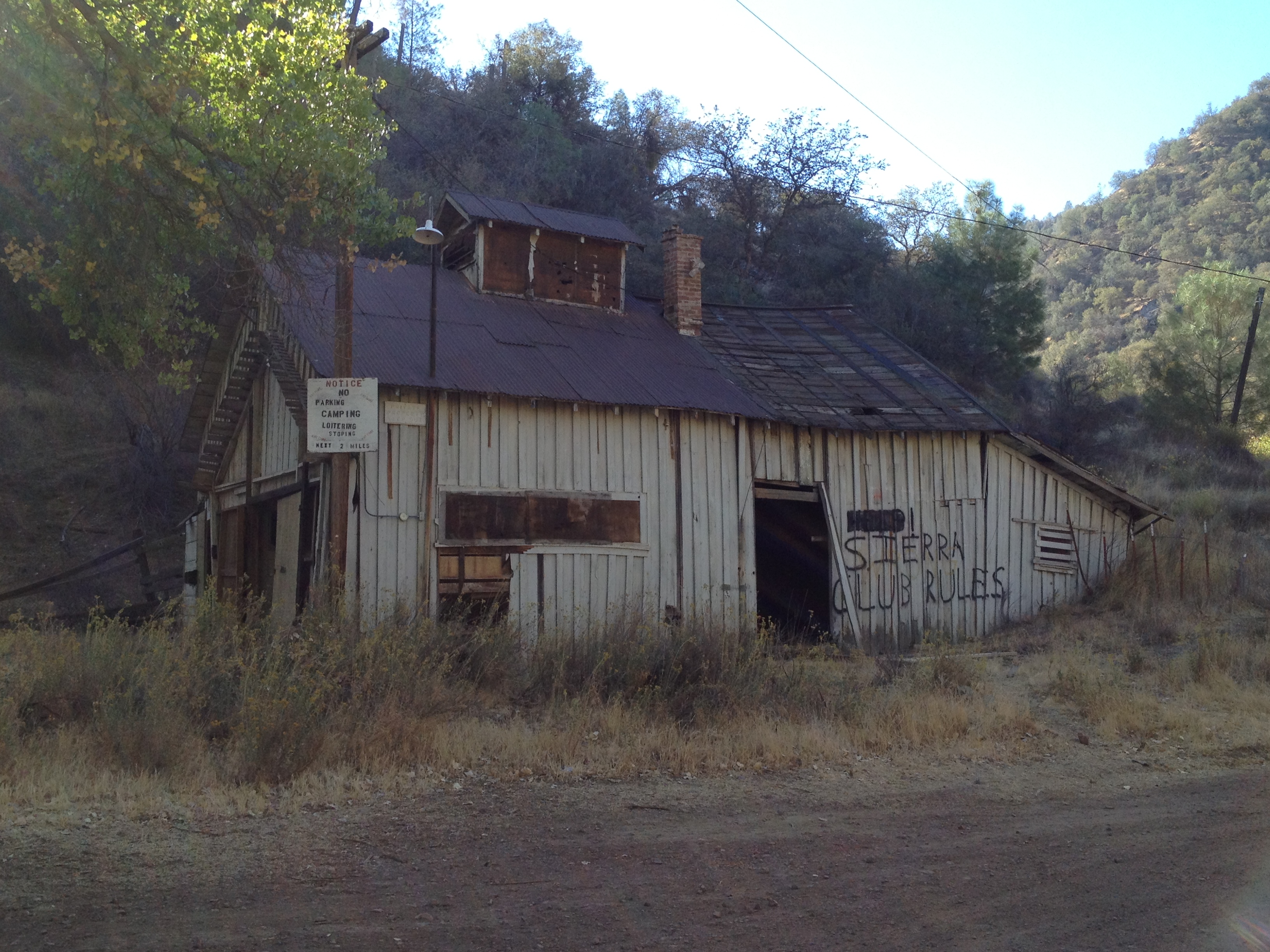
Following that brief hike, keeping in mind the early sunset, I headed through Carmel Valley and Jamesburg to Chew’s Ridge. I planned to car camp there at the trailhead to Pine Valley, then hike in and out of Pine Valley the next day to visit Jack.

IMG_7928

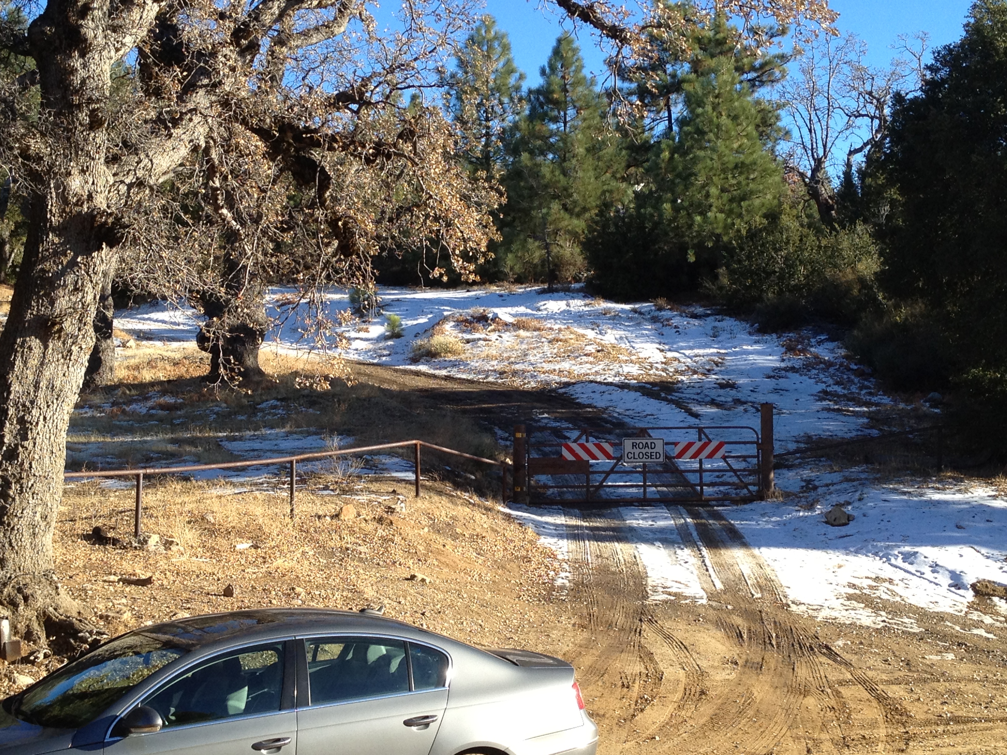
It was late in the day as I left the pavement in my 2WD and drove up, and up, and up towards the trailhead and campground. I started encountering more and more snow and ice patches on the road. I knew that as soon as the sun set, I would be there for most of the next 24 hours as it would not be safe to head down the steep road until the ice was once again melting in the afternoon.

IMG_7931

IMG_7932

At the decision point and trailhead, I decided to beat it out of there. I recently had an expensive “issue” taking my 2WD car where it shouldn’t be. This situation could have been dangerous (and expensive) should I try to drive back down the hill on a steep, icy surface with no guard rails.

(Further down the other side of the hill is the remote Tassajara Zen Center, which is open to guests in the warmer seasons. http://www.sfzc.org/tassajara/)

IMG_7936

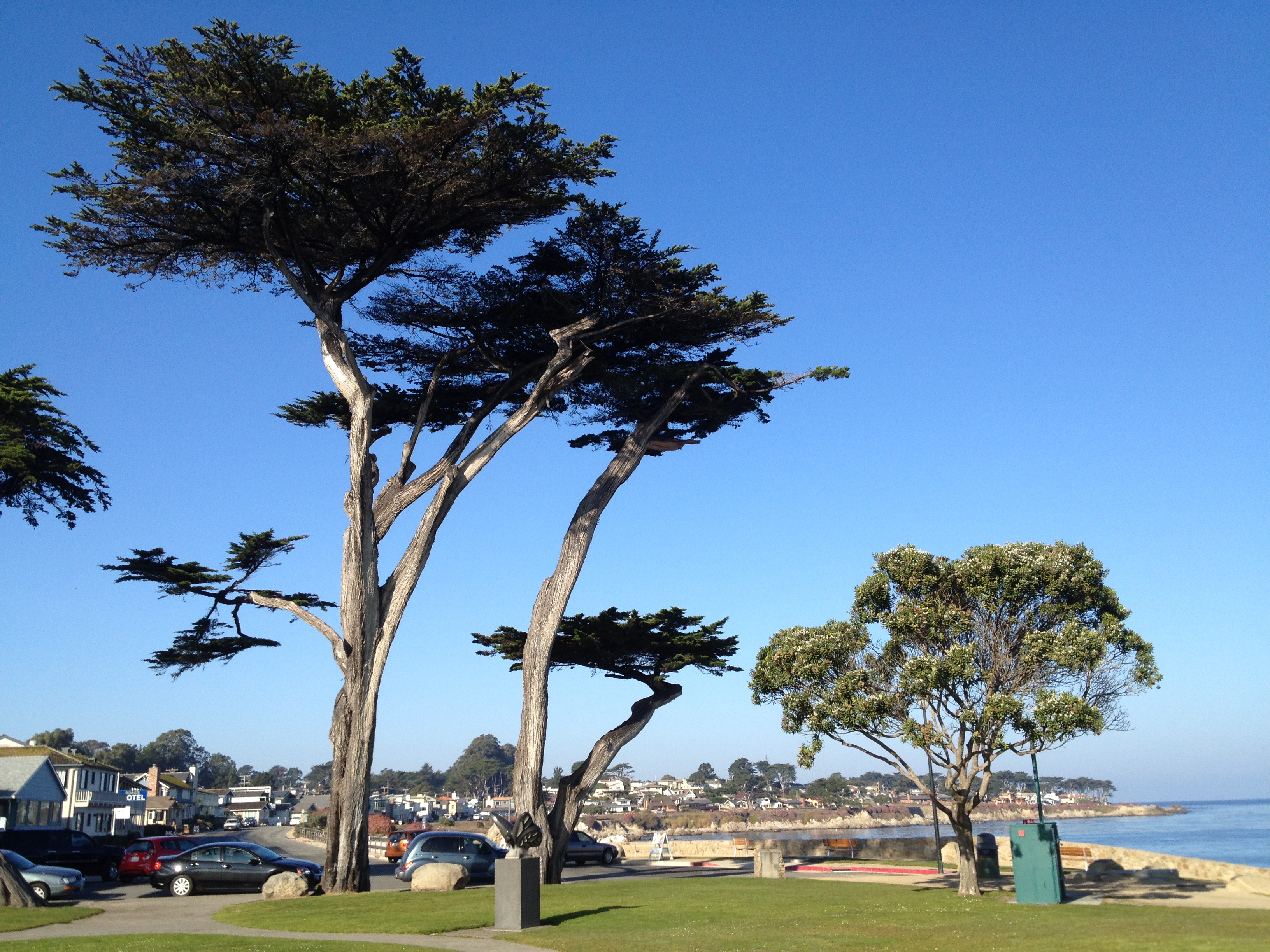
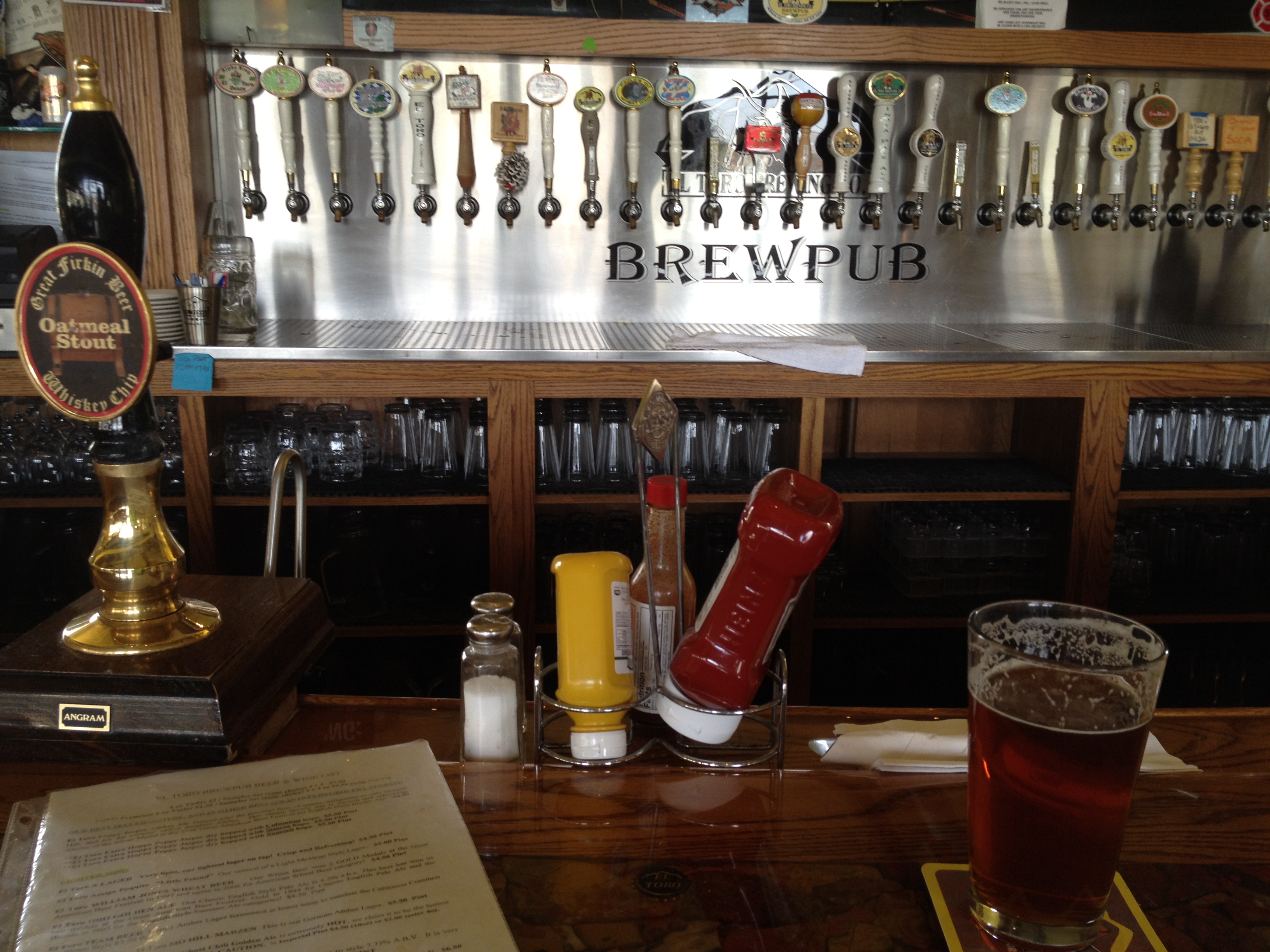
Whew! I made it back to Carmel Valley just in time for Happy Hour and a strong 4G signal. From behind a pint of beer, I booked a bare-bones motel across from the beach in Pacific Grove, just a mile south of Monterey’s Cannery Row.

(Photo of the main drag in Carmel Valley)

IMG_7939

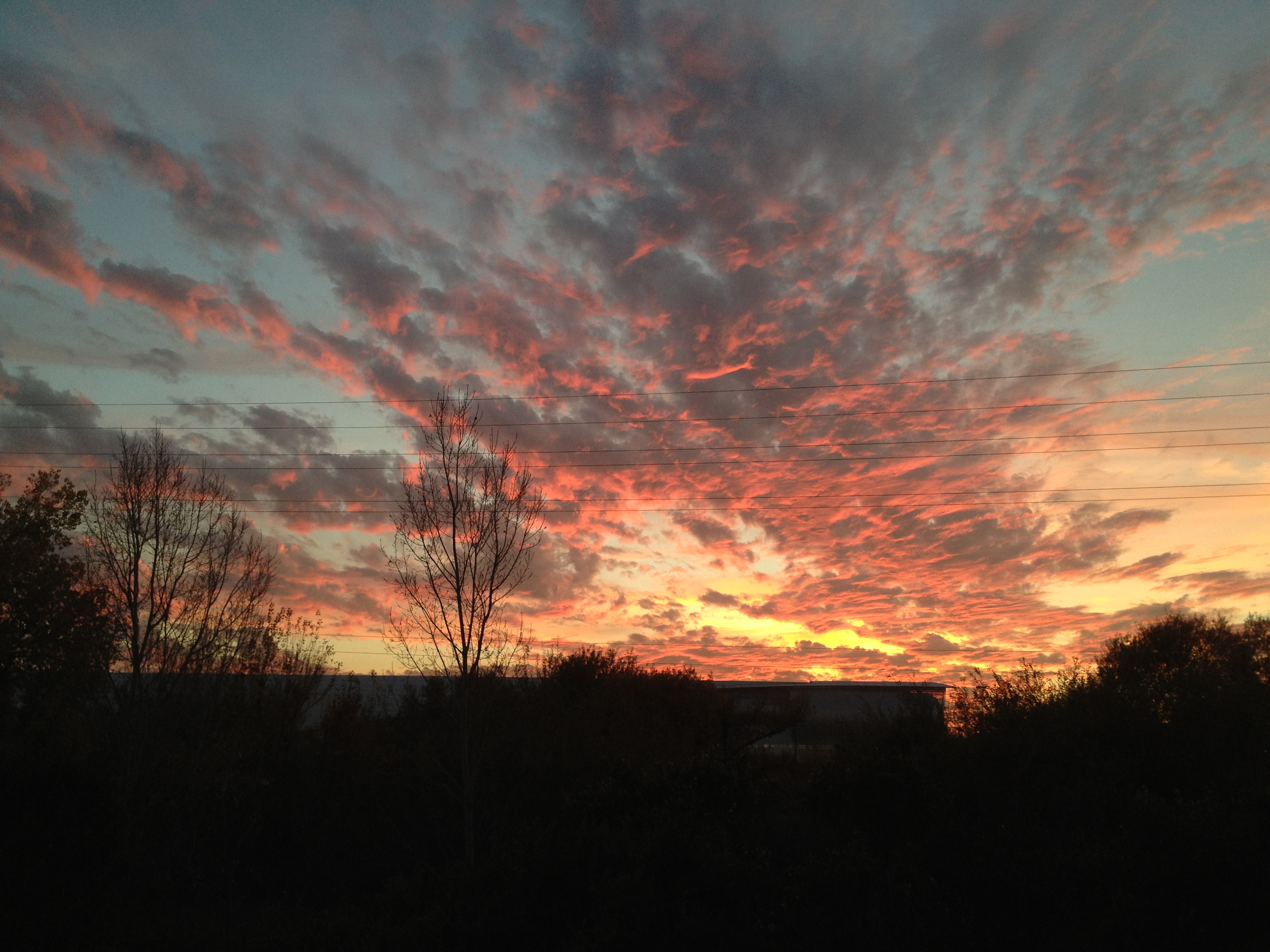
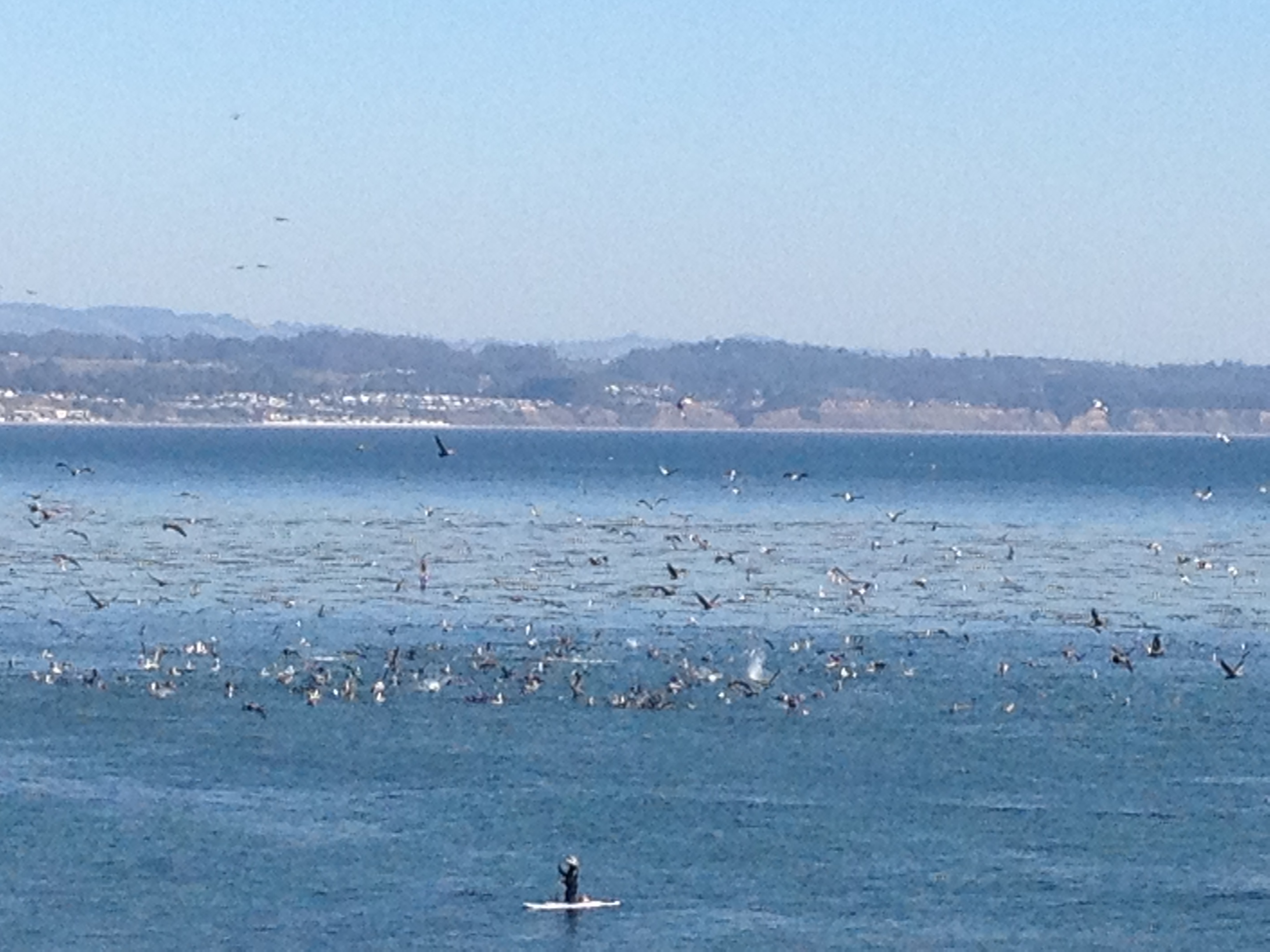
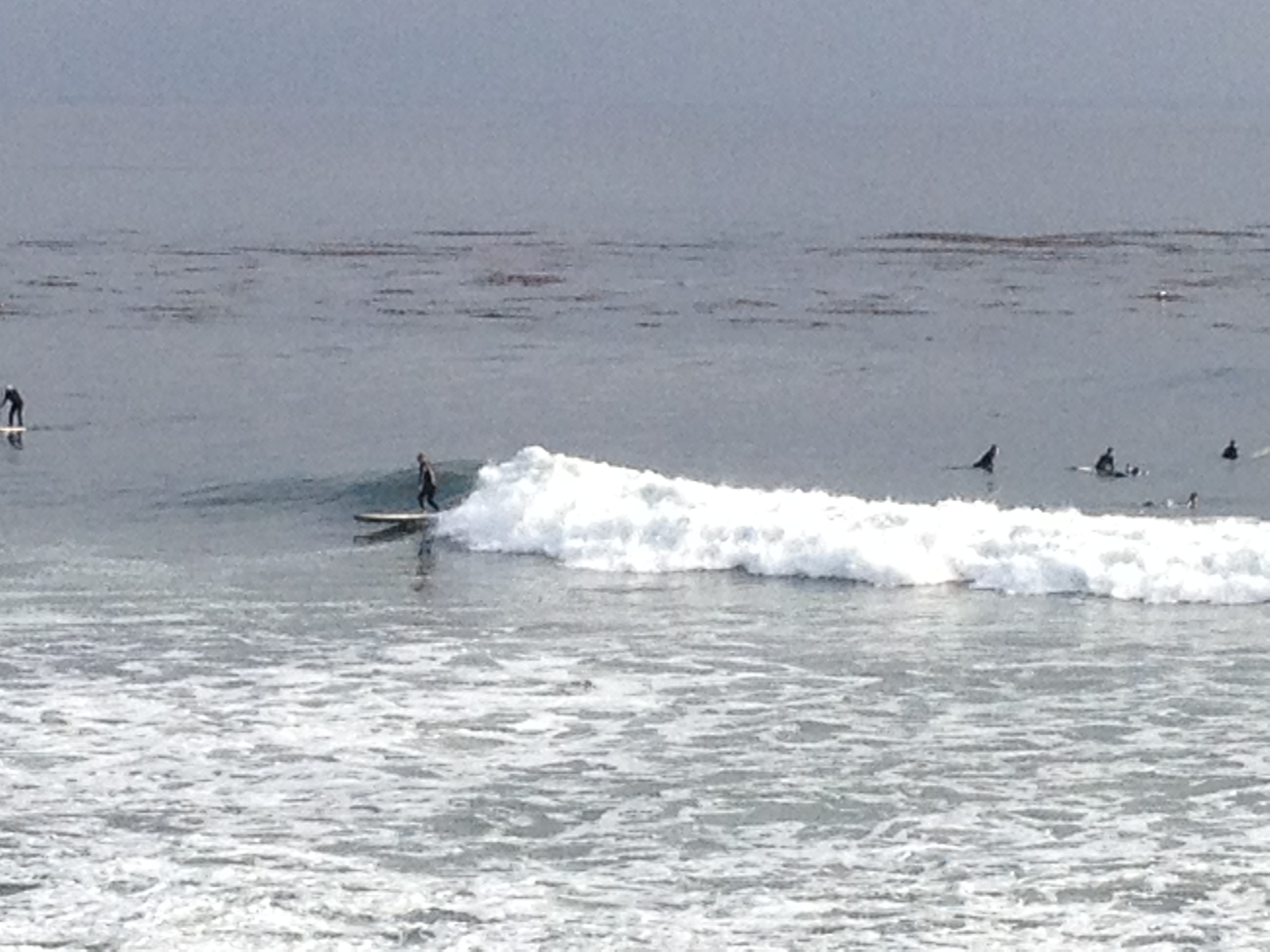
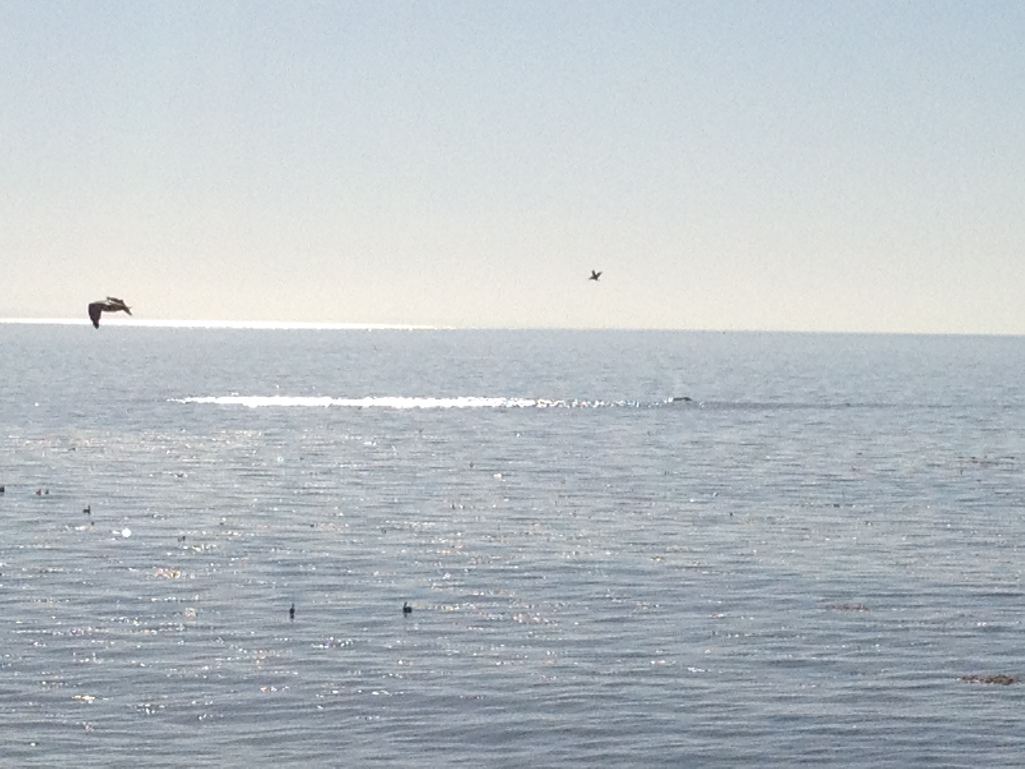
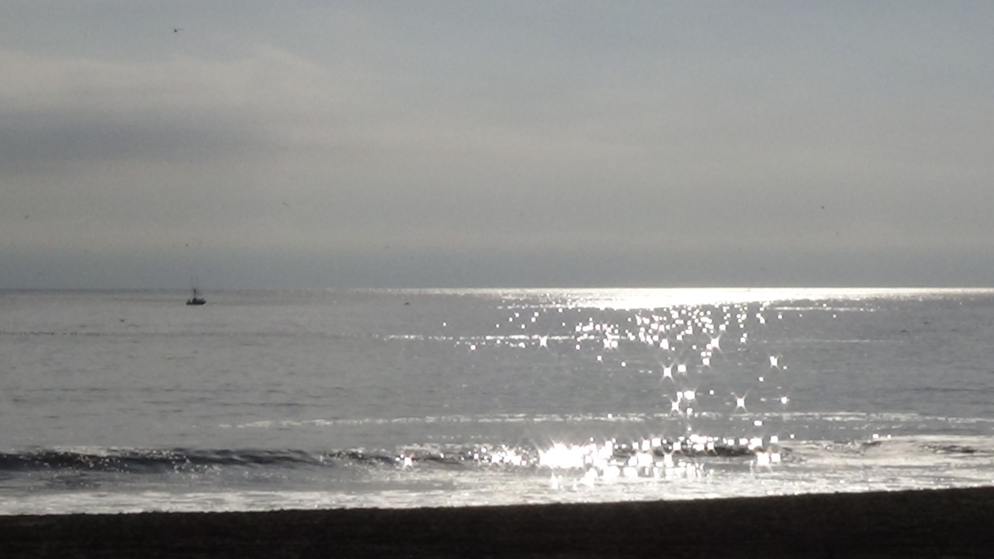
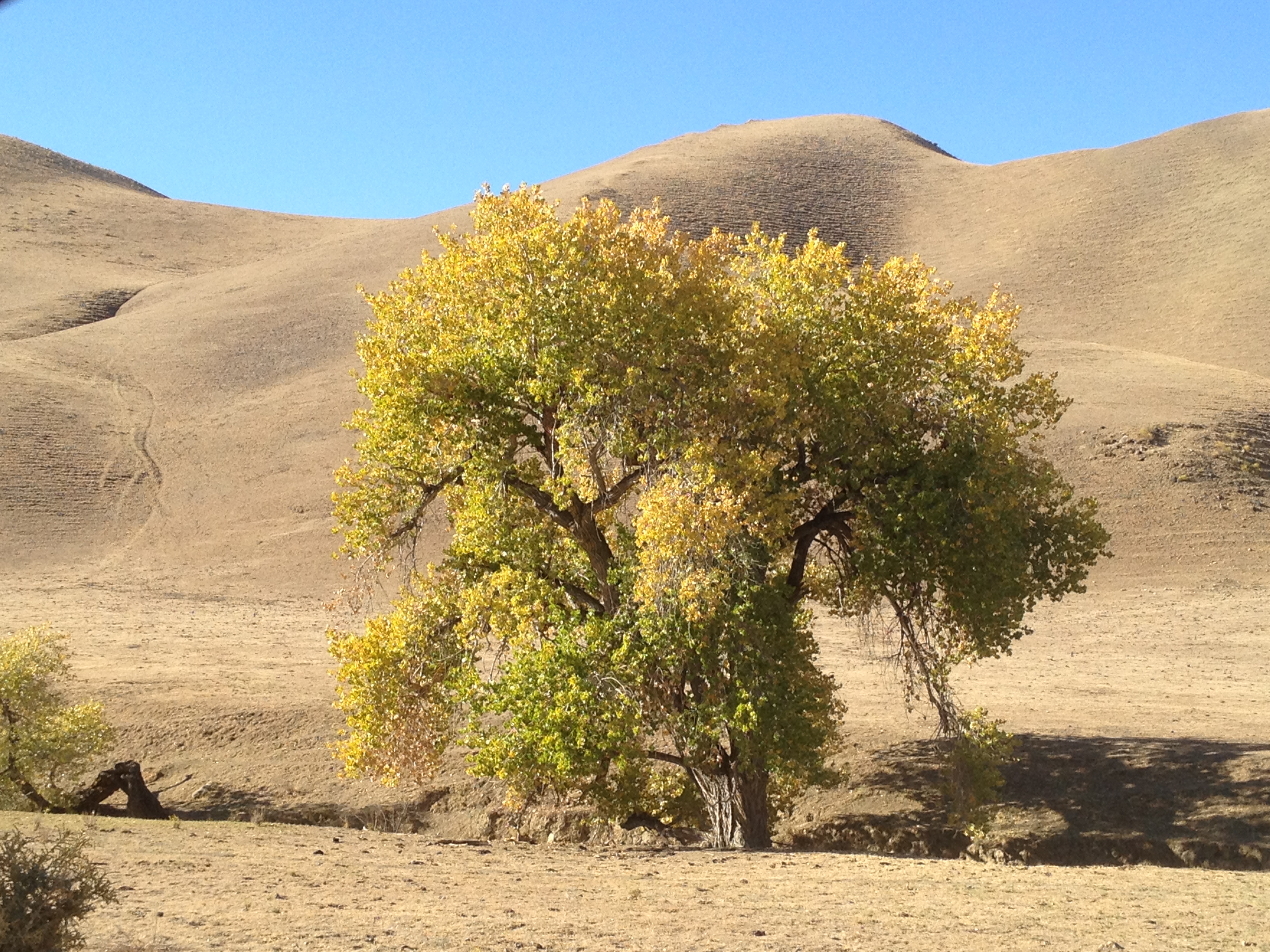
Some great views were to be found the next morning, less than a block from the motel, when the sun rose the next morning.

IMG_7945

IMG_7946

IMG_7947

IMG_7948

IMG_7950

I later found that Jack English was not at his cabin at the time. In fact, has not lived there much in the past year, as mentioned in the LA Times video linked above.

http://www.montereycountyweekly.com/archives/2013/1107/article_e5e3daa2-471e-11e3-ad28-0019bb30f31a.html?mode=jqm

I’ll assess the situation again in the spring and consider a return trip to Pine Valley (with or without Jack being there), or maybe even a visit to Tassajara!

Though I may never get to meet Jack, he is an inspiration to have lived such a fulfilling life.

Glad I went, glad I exercised good judgement and got out of there while I could, and looking forward to going back next year!

Posted in Uncategorized | Leave a comment

Specialized Bicycle Museum, Morgan Hill, CA (~82 mile R/T)

A few weeks back I had a brief Twitter exchange with Specialized Bicycles (@IAmSpecialized) and discovered they have a small museum in their lobby…which just happens to be about 2 miles from one of my “destination brewpubs” http://www.eltorobrewing.com/

Despite the short daylight hours and a late start, I set-off on tuesday, December 17th from Santa Clara. It’s a bit longer than going by car, but I manage to stay on paved trails for ~90% of the route for my own safety. At ~39 miles to the pub, plus an extra 2 miles or so, to Specialized, I rode just a bit over 82 miles for the day. That beat my prior distance record by the extra distance to/from Specialized from http://www.eltorobrewing.com/ The relaxed pace isn’t bad compared to the 100K races I’ve previously done.

Off we go!

IMG_8028

Past the new Santa Clara Levi’s 49ers stadium

IMG_8031

A newly paved section of trail, north of downtown San Jose, near historic Alviso:

IMG_8039

Yet another massive apartment or condo development in North San Jose:

IMG_8040

Past the San Jose airport:

IMG_8045

Thru downtown San Jose near Adobe HQ:

IMG_8047

…and out of the city. I LOVE this sign. It’s rare to see trails around here that are welcoming to bikes and not horses. It’s usually the other way around!

IMG_8051

This is ASCII for “Santa Clara County”, I believe. I heard it was placed at the geographical center of the county by some IBM engineers. (Note the faint background alphabetical lettering at the center)

IMG_8052

…and the lunch reward:

IMG_8055

After a burger and 2 pints, I headed through the local streets of Morgan Hill, CA to visit Specialized. Here are a few shots from the Specialized HQ Lobby and their small museum.

IMG_8058

IMG_8059

IMG_8060

IMG_8061

I particularly enjoyed the write-up on the 1989 Epic Allez, which I believe was the first mass market carbon frame (the frame on the right, not the red bicycle!). I was riding my 1991 Epic Allez that day! i really like the sub-20lb weight, plus the classic “skinny tube” look with an aluminum fork and aluminum lugs.

IMG_8063

Specialized’s first delivery vehicle as they expanded to become North America’s largest Campagnolo distributor.

IMG_8079

Heading north in the afternoon, with Highway 101 way off to my right. I already knew at this point that I’d get home after sunset, due to my fatigue and the normal afternoon headwind coming down the Coyote Valley.

IMG_8088

A quick stop at San Jose’s Hellyer velodrome

IMG_8101

Sunset near the San Jose airport. Arrived home about an hour after sunset. Good ride!

IMG_8105

More photos: http://www.flickr.com/photos/59666465@N00/sets/72157638961371976/

A GPX track from a prior visit El Toro Brewing. In the southbound direction, this route takes Monterey Highway the last 5 miles, which is shorter, but less safe than taking the Coyote Creek Trail all the way to the end. This track does not include the visit to Specialized:
http://www.everytrail.com/view_trip.php?trip_id=2313493

Posted in Uncategorized | Leave a comment

Black Diamond Mines – NorCal’s coal mining history, Nov 20, 2013

Back a few weeks ago I carpooled with a retired friend from San Jose up to Antioch California to visit Northern California’s former coal mining district. http://www.ebparks.org/parks/black_diamond

Moderate rain was in the forecast on that wednesday, but we had planned it well in advance and we’re hardy and (mostly) prepared souls. Off we went! It ended-up pouring later in the afternoon, but we had FUN!

About 75 minutes later, which is a bit outside our normal driving radius for a daytrip, we arrived…at a historic district which included 5 small towns in the 1880’s. A dozen mines in these hills produced lower quality “lignite” coal. The mines shut down as transportation improved and better quality coal was brought in from elsewhere. The towns withered away and the homes and buildings were moved in their entirety, or scrapped for their materials.

IMG_7533

We could only imagine how toasty these hills are in the middle of the summer. It frequently gets over 100F with very little shade. Our hike was cool, gloomy, and (later) very wet!

IMG_7531

The park district, as well as Mother Nature, have reclaimed the mines and townsites. All that remains are a few mineshafts and a historic cemetery.

One preserved hoist and mine shaft:

IMG_7544

A shot down the diagonal tunnel, holding my camera up between the metal bars

IMG_7546

Up on a barren hillside, between the sites of the two largest of the former towns, is the local cemetery.

IMG_7555

A few dozen headstones remain, with most of them revealing roots in the United Kingdom. As in the California Gold Rush a few year earlier, many immigrants came to California looking for a better life. The Welsh, as well as the natives of Cornwall England, were quite well known for their underground mining skills. Here’s one headstone (1876) of a native of Troedyrhiw, Merthyr Tydfil, Wales (say that 3 times fast!):

IMG_7560

Below is one of the small tunnels that were open. You can see my buddy’s flashlight inside, which was as far as we could go.

IMG_7574

Later in the day our circular hike took us above the valley into higher elevations and the weather took a turn for the worse.

IMG_7578

The “moderate” rain in the forecast turned into a significant downpour…the most rain we’d seen in over 6 months. We both had hooded rainjackets and a good attitude, but rain pants would have been helpful. We were a bit soaked, and glad to get back to the car!

A picture of MUD, and little rivers of water! (…it’s something we haven’t seen around here in awhile!)

IMG_7579

GPX Track: http://www.everytrail.com/view_trip.php?trip_id=2473108

More pictures: http://www.flickr.com/photos/59666465@N00/sets/72157638256572814/

Posted in Uncategorized | 2 Comments

And so it begins…the huge new Apple “Spaceship” campus

The huge Apple “Campus 2” was fully approved a few weeks ago by the City of Cupertino. Steve Jobs’ presentation to the City Council was his last public appearance back on June 7, 2011: http://www.youtube.com/watch?v=gtuz5OmOh_M

4 stories, 2.8 million square feet, and 2/3 the size of the Pentagon (and much more attractive!) http://www.gadgetreview.com/2013/04/10-fun-facts-about-apples-new-headquarters.html

IMG_7784

As soon as full approval was received, the streets started seeing orange cones, tape, signs… and demolishing the old buildings began almost immediately.

IMG_7766

Recently I noticed they were not just doing chain link fence, but erecting a huge ~20 foot perimeter wall. This wall is not permanent, but close to it! They’re driving posts deep into the ground and installing very heavy and thick wood panels. It will certainly prevent prying eyes and any possibility of trespassers climbing over the slick facade. “Now is the time” I thought, to take some pictures, as the only other way to see this landmark building under construction is to get a construction job or buy a drone!

I charged-up my iPhone, got on my bicycle, and decided to see what I could see before the wall totally blocked everything. I strolled on the public sidewalks and occasionally stepped through the landscaping up to the fence for a picture. I waived and said “hi” to the occasional worker who noticed me, and stopped to chat with a friendly security guard at a major truck entrance/exit. Nothing sneaky!

(I remember about 10 years ago, at a different company’s project, a security guard told me I couldn’t take pictures from a public sidewalk. I said “Really? Call the Police, I’ll wait here.” He mumbled something and skulked away.)

2 guys up there, guiding a heavy wood panel into the iron posts:

IMG_7768

Pretty green wall. “Move along, there’s nothing to see here!” on Pruneridge Avenue.

IMG_7779

History? Yes, we’ve got history. As HP has shrunken over the past 2 decades, Apple has grabbed their older office buildings, which comprise most of this site. Even prior to HP, you old-timers might remember Tandem Computer and Apollo Workstations.

The street sign to the rear of this photo is a minor cross-street called “Tandem Pkwy”.

IMG_7773

…and this extensive parking lot at Wolfe and Homestead Roads, now being prepped for demolition, used to be the home of Apollo Workstations before HP bought them over 20 years ago.

IMG_7792

So, there it is, before the remaining shiny green walls go up. Stripping and prepping the buildings for demolition

IMG_7767

..and some real “crunching” at the south end of the site, along Highway 280:

IMG_7778

As a local resident, about 2 miles away, I have mixed feelings, but overall they’re positive. Indeed it will make my access to the highway more difficult, more crowding, etc. If everyone said “stop” as soon as they moved here, Silicon Valley would still be a farming community where we’d be growing prunes on Pruneridge Road instead of [dumb “Apple” pun deleted]

Also, since I conveniently live between Highway 280 (near Apple) and Highway 101, I can always go the other way and use Highway 101, uh…….right…where…the…new…49ers…stadium…is…being…built. Doh! Jammed in by “progress”!

The site is shown in the below view: bounded by I-280 on the south, Homestead on north, and Wolfe and Tantau on the west and east…with the exception of a Condo complex in the lower-left corner of that rectangle.

GPX track and more photos: http://www.everytrail.com/view_trip.php?trip_id=2480785

Posted in Uncategorized | Leave a comment

Mission Peak – Silicon Valley’s “big hike for beginners”

One of the dominant peaks surrounding Silicon Valley is “Mission Peak” above Fremont California. http://www.ebparks.org/parks/mission

It’s very popular, accessible, and easy to navigate (just follow the other lemmings 😉 ). The ~2000 foot vertical hike provides impressive views of the valley and the San Francisco Bay, while not requiring any preparation except for good shoes and some water. Perfect for beginners…indeed it was my first hike in northern California back in 1989 or 1990.

You may recognize the vertical rock cuts near the summit if you know the Fremont skyline!

IMG_7691

One of my good friends, who is usually too busy with his family and career to join me on most of my adventures, proposed this hike for the day after Thanksgiving.

We met at the trailhead just after 9:00AM on a beautiful day: it was sunny and a bit cool. The main parking lot was already full (as expected), so we parked a little down the hill on Stanford Avenue.

They even have an outhouse at the bottom, plus one near the top!

IMG_7695

That’s my friend on the summit. Below are the ponds and levees of the southern San Francisco Bay.

IMG_7700

Closer-in you might spot the large buildings and parking lot of Tesla Motors.

IMG_7710

I did say this was popular, right? Here's a shot of the slightly lower "false summit", swarming with kids and families taking pictures. Good for them for getting out of the house!

IMG_7703

If you’re considering a challenging hike that’s easy to plan, you can approach Mission Peak from Stanford Avenue, or from Ohlone College to the north.

If you’re looking for a multi-day adventure, the crowds disappear entirely if you continue over the peak into the Sunol Regional Wilderness, where you can enjoy backpacking solitude! http://www.ebparks.org/parks/sunol

More pictures here: http://www.flickr.com/photos/59666465@N00/sets/72157638256775914/

GPX track here: http://www.everytrail.com/view_trip.php?trip_id=2473050

Mission Peak

Posted in Uncategorized | 1 Comment

My own “23 Essentials” for comfort and survival

Ever since I was a wee Boy Scout I’ve heard of the “10 essentials”. This list comprises items that would be helpful, (or “essential”) in case an outing doesn’t go as planned. They would help make an unplanned overnight or incident more comfortable, help enable a self-rescue, or signal to potential rescuers. Here’s a recent summary from Lynne Petre (@lgsmash http://www.lgsmash.com/), posted at Sierra Trading Post (@SierraTP http://www.sierratradingpost.com/). It also includes some history of the “10 essentials”, which are categories to customize to your own needs. http://hub.sierratradingpost.com/10-essentials-of-hiking/

10 Essentials from Lynne Petre / Sierra Trading Post

Additionally, I recently saw a Tweet from @PaleSpruce (http://www.palespruce.com/prepared-backcountry/), (via @WalkSimply http://www.walksimply.com/), and it made me think again about my personal kit and sharing the contents with a broader audience.

Rewind back about 5 years ago: I started reconnecting with nature, with my career on a good path and our “labor intensive” toddler growing-up. I bought new hiking shoes, a day pack, dusted-off my road bike, bought a mountain bike, and reconnected with the great outdoors.

During my frequent (and increasingly longer and more remote) adventures, I continually refined my “survival kit”. What I have now today has helped me be more comfortable and confident in my outings, as well as being better prepared in case something really goes wrong. This is my “customization” of the “10 essentials” pictured above.

The evolution of my gear list was heavily influenced by a few “oh sh*t moments” where I scared myself a bit. I then reviewed what the worst case scenario would have been and made appropriate adjustments to my future plans. A particularly memorable event, which caused me to buy a SPOT locator (and maybe a change of underwear 😉 ) was when I almost stepped on a rattlesnake. I was alone, off-trail, and several miles from a cell phone signal. Not good! http://www.everytrail.com/view_trip.php?trip_id=1785673

I recall about a year ago, hiking with a friend here in Silicon Valley, and comparing our “kits”. It turns-out his was more First Aid focused, and mine was a bit more aligned with fixing broken gear and making an unplanned overnight more comfortable. We learned a bit from each other and we each added a few items to our kits.

IMG_7592

From the top-right:

– Tissues (“comfort” item)
– A pen (to leave notes)
– Tweezers (first aid)
– Parachute cord and thin copper wire (gear repair, splints, etc)
– Wide rubber band (first aid, gear repair)
– “Zip strips” (gear repair)
– iPhone sync cord (I did have one fail on me once…and my “electronic map” could not be recharged!)
– Ibuprofen and plain aspirin (for pain and cardiovascular emergencies)
– A signal mirrror
– About a meter of duct tape (to cover blisters, to make splints)
– Velcro for my http://www.dirtygirlgaiters.com/ gaiters (…or maybe other uses(?))
– Lightweight rain poncho (shelter, signalling)
– Small Mag Light
– A few bandages
– Some cash (food or repair part purchases, beer, taxis, bribing local thugs)
– Orange Post-its (to leave notes)
– Small whistle / compass combination (The compass is a bit lame! You know how to use one, right?)
– Extra AA batteries
– 4 Sudafed tablets
– More duct tape
– Iodine water purification tablets
– A pink sunscreen stick
– Waterproof matches (hidden under the poncho)
– Swiss Army “Classic” pocket knife (hidden under something!)

If you compare this to Lynne Petre’s photographic list, it includes all of the items, with my personal variations, except for nutrition. Is it complete and thorough? Could I add more items and weight? You might say I could be more thorough with the First Aid items, for example, but with all of the scenarios I have been in, or imagined, I think for myself this is a good balance of weight versus “comfort” and “essential items” for the outings I do. Keep in mind also, that creativity and improvising can go a long way. For example, a piece of clothing and duct tape can make a great (non-sterile) bandage

It fits very snugly into a quart-sized Ziploc and weighs just over a pound (~500 grams). In addition to these items, I pick-and-choose a few other items for each particular trip:

– My iPhone with two supplemental “New Trent” brand USB battery packs, with pre-loaded maps (Gaia GPS and or Open Cycle Maps; sometimes screen shots of park brochures or trail maps)
– A Katadyn Hiker water filter
– a SPOT locator, with 2 extra sets of batteries
– Nuun electrolyte tablets
– For cycling trips: a tool kit, spare tube, patch kit and spare parts (see 4th paragraph for a parts list https://alpharoaming.com/2013/10/05/bikepacking-shakedown-cruise-equipment-gear-thoughts/ )
– food, water, proper clothing, sun hat, sunscreen.
– For longer trips I would review my trip plans and add a few items, like larger sterile bandages
– …and of course always a paper map (back-up for the iPhone map…I always have a “Plan B”!)

On any given trip, be it cycling or hiking, I usually don’t open the kit. Occasionally I’ll duct-tape a blister, or grab some tissues for a runny nose. Be sure to replace what you use!

Also, please be sure you know how to use this stuff! (Learn some basic First Aid; learn map & compass skills; know how to build a smoky signalling fire from foraged tinder; test your SPOT locator every time you’re away!)

In the spirit of sharing and enjoying the outdoors, what items do you take that I don’t? (…and did you learn anything from my list?)

Posted in Uncategorized | 5 Comments

Turkey Day Thanksgiving ride / hike, Kennedy Road, Sierra Azul, Los Gatos, CA

Every Thanksgiving morning, BEFORE everyone overeats, there’s a spontaneous party in the hills above Los Gatos, California. It starts in front of Summit Bicycles, up several miles of paved public roads, then up a LONG, STEEP hill, known as the “Kennedy Road Trail”.

Kennedy Rd / Los Gatos Turkey Day Ride at EveryTrail
EveryTrail – Find the best Hiking near San Jose, California

IMG_7654

San Jose is down there!

IMG_7680

A “mere” 1000+ people bicycle or walk (many with their dogs). At the top of the hill, they share food, drink, and comraderie. It’s totally without leadership, though I suspect that it originated with a small group from the bike shop. Over the years it’s now quite well known, (Obviously! 1000 people show up!), despite no real publicity. The Santa Clara County Sheriff and Mid-Peninsula Open Space Rangers are present and visible. The law enforcement presence is quite laid-back and friendly.

This picture is a fraction of the total crowd, which lines this desolate trail for a good 1/4 mile.

IMG_7667

IMG_7670

Fun it was! On the way up I stopped to rest a few times, as did many others. I was in awe of the handful of much stronger cyclists who towed bicycle trailers with a roasted pig, a cooked turkey and an occasional case of beer.

IMG_7662

IMG_7673

“Turkey Trot” 5K and 10K runs are popular down in the valley, with one in San Jose drawing about 25000 participants. If you own a mountain bike, or enjoy a hike up a big hill (~2000 feet vertical), put this on your calendar instead! No entry fee, no souvenir t-shirt, no “sorry registration is closed”, and lotsa fresh air…bring a few friends and have a little party at the top!

(Rule #1 is strictly enforced. The other two are difficult to enforce, though I didn’t see the “car-battery-powered-margarita-blender-on-a-bike-trailer” this year…Watch for few fools zooming down on their bikes, too.)

IMG_7685

GPX track and a few more photos: http://www.everytrail.com/view_trip.php?trip_id=2472081

Posted in Uncategorized | 4 Comments

Chillin’ & Whale Watching – Santa Cruz and Capitola

On a quiet weekday, a few weeks ago, I decided to do another “mellow” day along the coast with my bicycle and camera. It was not due to an injury like the last time, (https://alpharoaming.com/2013/09/24/santa-cruz-a-beautiful-place-to-nurse-an-injury-and-watch-whales/) but just to enjoy the time and place at hand!

New experimental format: 17 photos and 17 short captions. Here we go!

(1) Santa Cruz is entertainingly weird. This is a Mazda Miata!

IMG_6671

(2) This is really “old school”, unlike my 22 year old Specialized bicycle.

IMG_6456

(3) …and, of course, a well-decorated marijuana shop (“Granny Purps”)

IMG_7077

(4) …next to Discretion Brewing’s own tasty plant product

IMG_7079

(5) …in America’s original surf town where the wetsuit was invented (or perfected?)

IMG_7083

(6) …well after the sport was introduced by some Hawaiian teens who came here for high school

IMG_7095

(7) Eat your Brussels Sprouts…all of them!

IMG_7310

(8) “Shoe horsie!” at Wilder Ranch

IMG_7316

(9) Hitchcock’s “The Birds” looking for fishies

DSC00409

(10) More birdies, with a few pelicans splashing down

IMG_7330

(11) Surf’s up, dude!

IMG_7123

(12) …and what better spot to fix a flat than overlooking the Pleasure Point surf break?

IMG_7088

(13) There’s a spouting humpback whale on the right side of the bright spot. (Use your imagination!)

IMG_7293

(14) Santa Cruz is a great place to sit and chill

DSC00429

(15) …or watch the sunset

DSC00417

(16) …or photograph the seat cover dispenser

IMG_7102

(17) …at Santa Cruz Mountain Brewing

IMG_7317

More photos: http://www.flickr.com/photos/59666465@N00/sets/72157637225943533/

Posted in Uncategorized | 3 Comments

Mercey Hot Springs and New Idria – 25 miles from a phone signal!

Did you know that about 120 miles from Silicon Valley there’s a place that few know about, but is worth a drive for the adventurous?

Head south on Highway 101, then turn left on Highway 25 at Gilroy; pass through Hollister (which is not a beach town, nor “just” a clothing store for teens)…and keep going until you see broken pavement, cows in the road and your phone signal is long gone!

The Paicines General Store http://www.yelp.com/biz/paicines-general-store-and-restaurant-paicines is an indication you’ve “gotten away from it all”! It’s the last stop on the way to the east entrance of Pinnacles National Park. http://www.nps.gov/pinn/index.htm http://en.wikipedia.org/wiki/Pinnacles_National_Park

IMG_7147

Turn left (not towards Pinnacles!) and keep going and you’ll find the Panoche Inn. http://en.wikipedia.org/wiki/Panoche,_California
http://www.yelp.com/biz/panoche-inn-paicines It’s a popular watering hole for motorcycle clubs and other wanderers (and the place is “For Sale”!)

IMG_7168

Just past the Panoche Inn is a left turn onto “Little Panoche Road” and 8 miles later is http://www.MerceyHotSprings.com
http://www.yelp.com/biz/mercey-hot-springs-firebaugh Hot soaks, sauna, swimming, camping and a few cabins (oh, and free satellite WiFi!)…plus a huge view of the Milky Way! Make sure you bring food and water. They have a few snacks for sale, but that’s it… (It is possible to drive here from I-5 to the east. It’s the better way if you’re not coming from Silicon Valley.)

DSC00434

Over 100 “Long-Eared Owls” migrate here each winter, where they are easily spotted if you ask which trees to look in. They have hundreds of square miles to hunt for rodents, with very little other wildlife in the area except for a few birds and rabbits I saw.

DSC00444

About 1/4 mile further to the north is the “Panoche Hills” BLM area. http://www.blm.gov/ca/st/en/fo/hollister/recreation/panoche.html From November to April you can drive up the hill and see some VERY dry and desolate hills, a few towers and navigation beacons, and some random folks who do target shooting. It wasn’t quite the super-cool mountain biking area I had hoped, but it was worth a look. (An easy 2WD drive when the gate is open and the roads are dry. It’s well-graded gravel, with no deep ruts until after the big white navigation beacon.)

IMG_7211

IMG_7202

IMG_7204

The next morning, a quick trip to New Idria was in order! (“only” 30-something miles of broken pavement away…) http://en.wikipedia.org/wiki/New_Idria,_California http://www.new-idria.org/ http://yosemite.epa.gov/r9/sfund/r9sfdocw.nsf/84e3d3f7480943378825723300794f02/4d99072d0c3ba0ce8825784f00067c90!OpenDocument The land is very dry, with some places being almost completely barren, save for a few cottonwood trees eeking out a bit of water from a dry creekbed. In late october they were brilliant yellow!

IMG_7252

This historic mercury mining town of New Idria is mostly a few ruins now, and a few locals living nearby. You shouldn’t leave the public roadway, lest you get scolded.

IMG_7262

IMG_7266

Beyond New Idria are 4WD roads into the back (northern) entrance to Clear Creek. Clear Creek is officially closed due to naturally occurring asbestos in the soil, but there are many motorcycles and ATVs playing around there with no visible enforcement of the closure. (I understand the main Clear Creek entrance is closed with a gate. There is no gate from New Idria.) http://www.blm.gov/ca/st/en/fo/hollister/clear_creek_management_area.html

After some chin-scratching about returning some day with a 4WD or more time to do a bikepacking trip on my mountain bike (and maybe looking for some Benitoite at night with a short-wave UV light), I headed home.

Though I didn’t get much aerobic exercise, it was a great weekend road trip. Mercey Hot Spring is a neat little place to camp, stargaze, owl-watch and hang out. “I’ll be back!”

More photos: http://www.flickr.com/photos/59666465@N00/sets/72157637225943593/

Posted in Uncategorized | Leave a comment

What the Boy Scouts mean to me

It saddens many people to hear of the “Goblin Valley Vandals” (http://www.huffingtonpost.com/2013/10/18/goblin-valley-boy-scout-leaders-destroy-rock_n_4122488.html )…both those who have been associated with the Boy Scouts of America, and those who simply love the natural wonders of our parks. It’s unfortunate that the headlines in the press say “Boy Scout Leaders”, versus “random idiots who filmed their antics”. I hope the Boy Scouts of America can do some damage control and loudly denounce this situation, taking appropriate steps to distance the Scouts from this behavior.

I have such wonderful memories of my time in Boy Scouts that I still occasionally tell anecdotes to my friends with a big smile on my face. I hope this blog post will help reinforce the good points of Scouting…either with a few friends who read my blog, or maybe it will go viral to thousands…

Scouting to me is the selfless time spent by my troop leaders to help me shape what I am today, even when their own sons’ interest in Scouting waned. Jack R, Jack K, and Bill B.: you guys were awesome Scout leaders who brought me great experiences during my formative years in the late 1970s, including:

– The (now comical) lesson of not securing your food from animals: one of the Scouts left his backpack leaning up against a tree, just outside our tent, with all his food inside, including an aerosol can of Cheese-Whiz. The late night “gunshot bang” of a bear biting into the can, then howling and charging away through the woods, would not have been believed if we didn’t keep the can with the teeth marks for show-and-tell.

– Sleeping in a big old canvas tent, on a cot, above a wood platform, for a week each summer at Camp Saratoga (http://www.wiltonpreserve.org/the-lands/camp-saratoga) and waking up to hear some crunching noises under my cot. I grabbed my flashlight and peeked over the edge and saw a skunk happily eating my Pringle’s, just two feet from my face. “Please help yourself. I will hide in my sleeping bag until morning!”

– Burying Dan’s pants near the top of Tabletop Mountain (http://www.summitpost.org/table-top-mountain/150619 ) after he failed to properly lean against a tree to relieve himself. It wasn’t environmentally friendly, but not even our leader, Jack R., was willing to pack out a pair of pants full of poo.

– Waking up in a collapsed tent, covered with 4 inches of snow, at Crane Pond (http://www.loonyaboutadirondacks.com/crane_pond.html) during an early season storm. We were wearing canvas sneakers and the cars were 2 miles away. Cold, wet, nobody got hurt.

– Standing-up in our canoes on Long Lake during a windstorm, to deploy our orange poncho “sails” and watching one of the other canoes tip over as a result, with all their gear on a cold and blustery day…

– Being a young Scout at the annual winter campout in the “Rabbit Hole” cabin, where the older scouts pushed the troop to see how hot we could get the cabin to be, using the 2 wood burning stoves. Normally the top bunks were favored for their warmth, but on this night it was 20F outside and 95F on the top bunk.

– Terrorizing the McDonald’s in Lake Placid several times after a long weekend of sweat, poor hygiene, and campfire smoke. This once included stomping on ketchup packets in the parking lot and decorating at least one unsuspecting car.

– Standing on Wright’s Peak, near the bronze plaque, memorializing the B-47 crew that perished here during a training flight (http://www.adirondack-park.net/history/b47.wright.html ). And, having our summer camp rifle range instructor (“Gunny”, as in “Gunnery Sergeant”) show us the line of bullet holes on his thigh and stomach he received during his time in Vietnam as his opening “attention getter” for every annual safety lesson. These two events caused some thinking about mortality, as young teens rarely do.

– Completing half of the Adirondack 46ers (http://en.wikipedia.org/wiki/Adirondack_Forty-Sixers) before my 18th birthday. I still treasure my collection of hand-typed acknowledgement letters (with a green typewriter ribbon!) from the ADK 46ers famous Grace Hudowalski (http://www.mackenziefamily.com/gracepeakcommittee/bio.grace.html )

Much of this is what we used to call “boys will be boys”. We exuded youthful energy, and a bit of naivete, as we clumsily made the transition from children to adults. We were mostly on the correct path, and always under the watchful eye of RESPONSIBLE leaders who often allowed us to make small mistakes as part of growing up.

My grandest memory of the selflessness of our leaders was Jack K. volunteering to be our summer camp leader for a week, despite his ailing health. He enabled us to attend Summer Camp, when no other leaders were available and our camp week might have been cancelled. It was remarkable that he slept on a cot, in a drafty tent, like the rest of us, while breathing on an oxygen tank and barely leaving his tent the whole week. He entrusted the senior Scouts, myself included, to guide the younger ones, as well as interface with the skeptical camp administration. I’m quite sure he would have been more comfortable at home, but that’s not what he chose.

All of these little stories are the highlights of about 8 years as a Cub Scout and Boy Scout, teaching and working selflessly with our leaders and other Scouts, to build and reinforce what I’ve become today: A responsible adult (I think), as well as one who loves and respects nature and those who came before me with their selfless contributions.

With or without my strong and wonderful memories of growing from a little blue Cub Scout (who couldn’t figure out that weird belt buckle), to an Eagle Scout, Scouting will continue to evolve through various twists and turns and controversies. It is my hope that the local volunteer leaders, which make up the core of Scouting, continue to give selflessly. It is also my hope that the Boy Scouts of America distances themselves from the “Goblin Valley Morons” as soon as possible. Every group of people has a few “bad apples” that need to be pruned. Let’s then focus on the other 99% and the positives of what Scouting is all about. I know I do!

Posted in Uncategorized | Leave a comment