
Back a few weeks ago on March 26th I decided to do a one day (~200 mile) circular road trip. I was curious about the wildflowers and water flows in the San Antonio Valley, east of San Jose’s Mount Hamilton. I was also curious to see what sort of fencing and signs were preventing, or discouraging, entry into Henry Coe State Park from where Highway 130 dips south.
It was a gloomy day, but I’d have my cozy car to keep me warm as I rose above San Jose on Mt Hamilton Road (at center, in the distance)

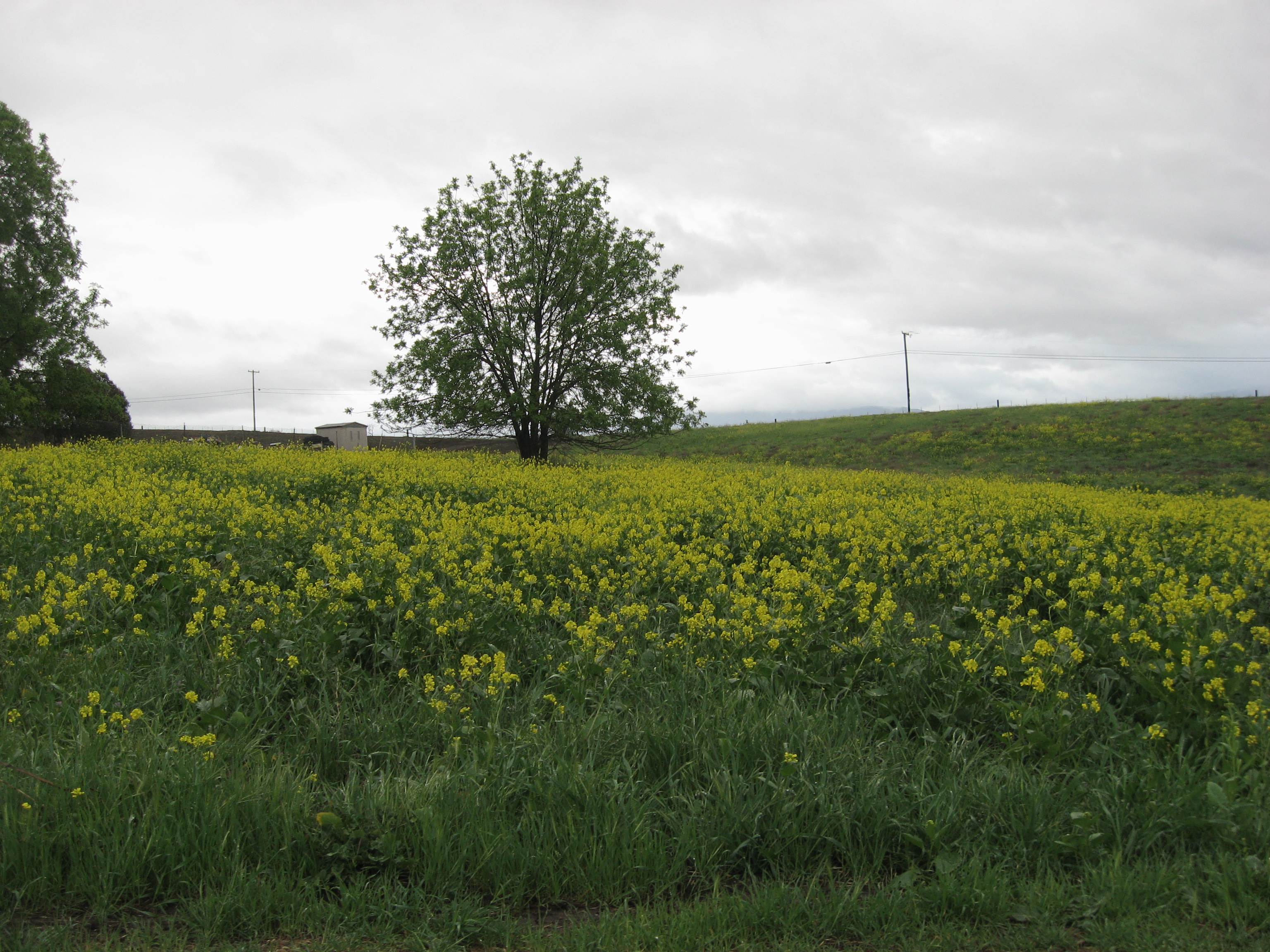
..and saw lotsa spring greenery. I think these are mustard plants(?)
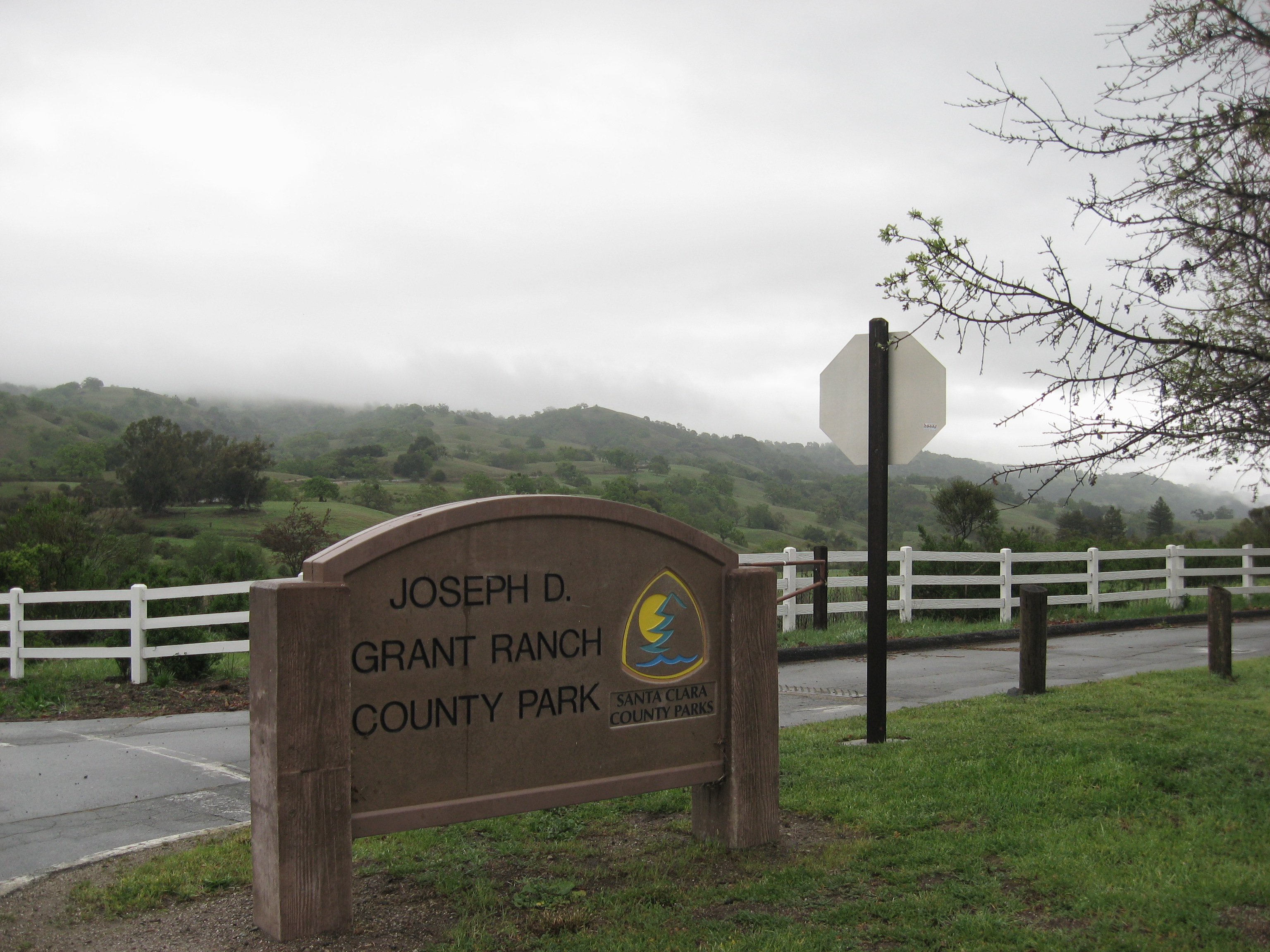
Passed by Grant County Park, where I hiked in january, just before the historic Pala Seca cabin burned to the ground: https://alpharoaming.com/2014/01/09/pala-seca-cabin-joseph-grant-county-park/
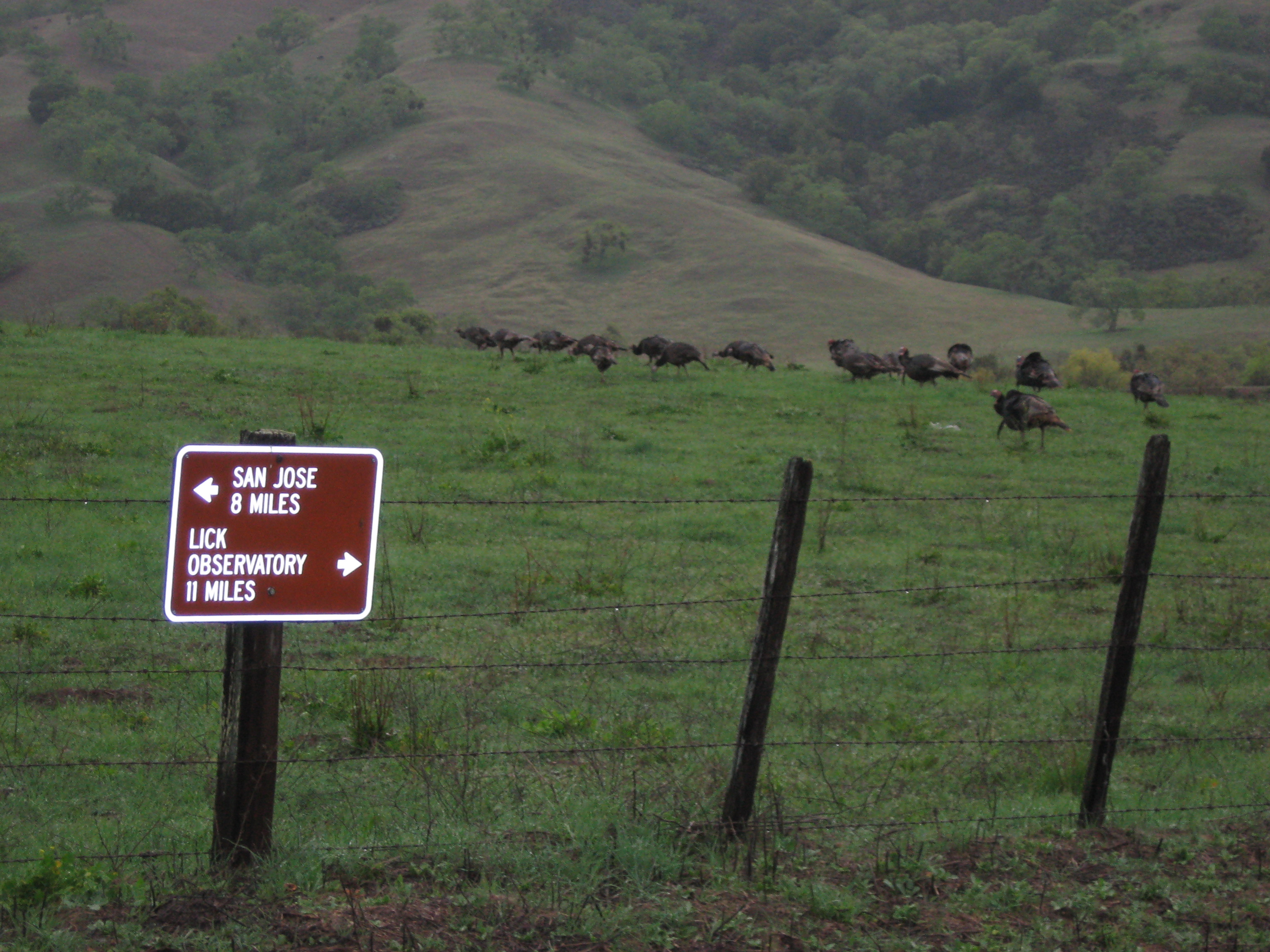
…and a flock of turkeys just outside the front entrance
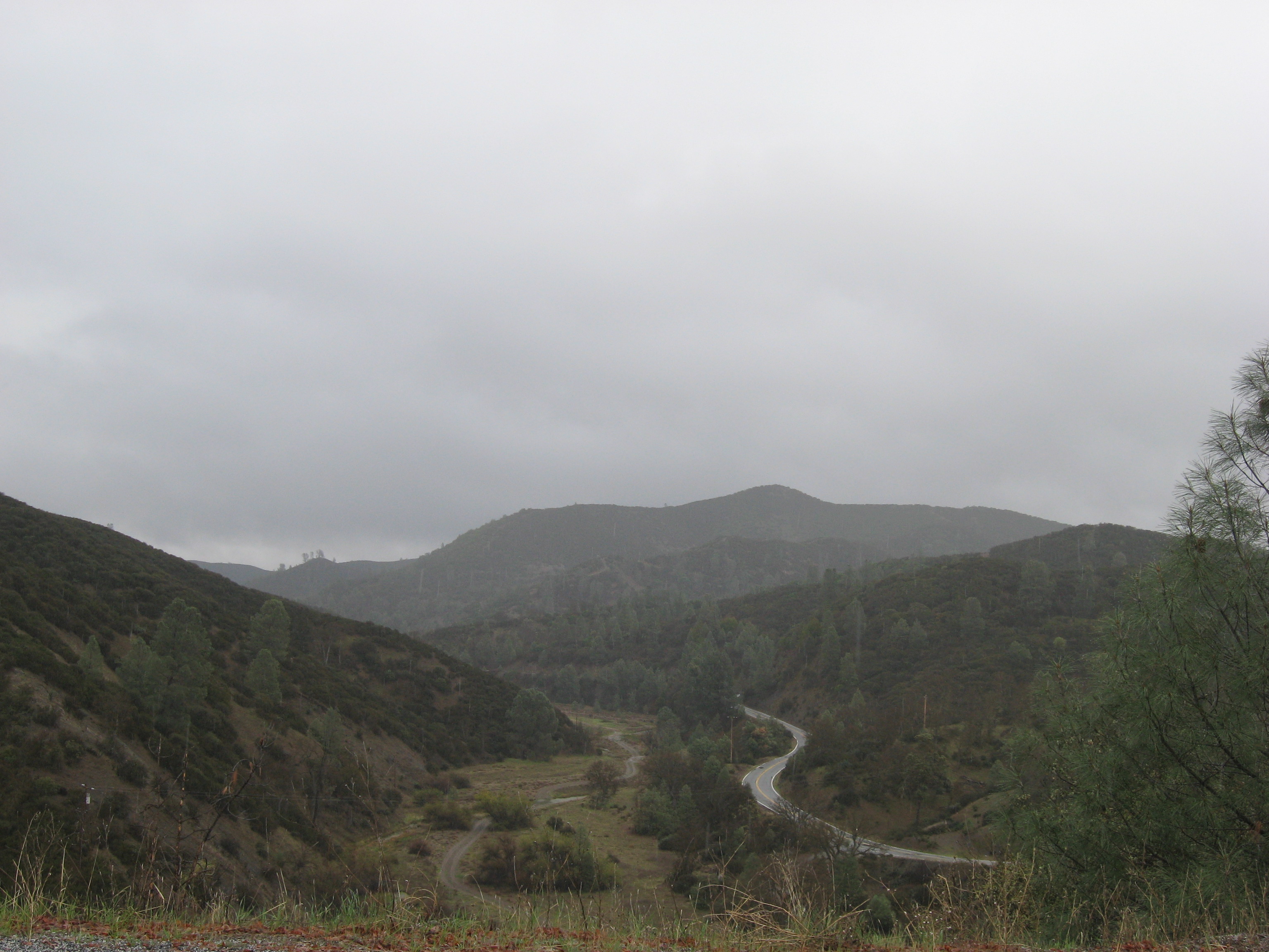
This is a picture of the upper end of the valley where the main Joseph Grant ranch was:

After many twisting miles of interesting (and limited) views, I reached the top of Mt Hamilton and the historic Lick Observatory. http://www.ucolick.org/ (Yes, the snowplows were manned and on standby! It was a blustery 37F degrees in late morning. The main observatory dome is on the right end of the building, in the fog)

Indeed, as hinted in the “please remove cleats” sign, this is a cycling destination. Despite the intermittent rain, and near-freezing temperatures, I passed one cyclist on the way up. He actually summited, then turned-around without stopping!

There are at least a dozen various buildings up here. Some are private residences, and some are part of the observatory facility.


I continued east, towards I-5 and Patterson, CA, through the remote San Antonio Valley. Eventually descending to “Isabel Creek”. It was flowing just a little bit in this very dry year for California. I was hoping to see some elk in this area, or on my return over Pacheco Pass, but no luck…

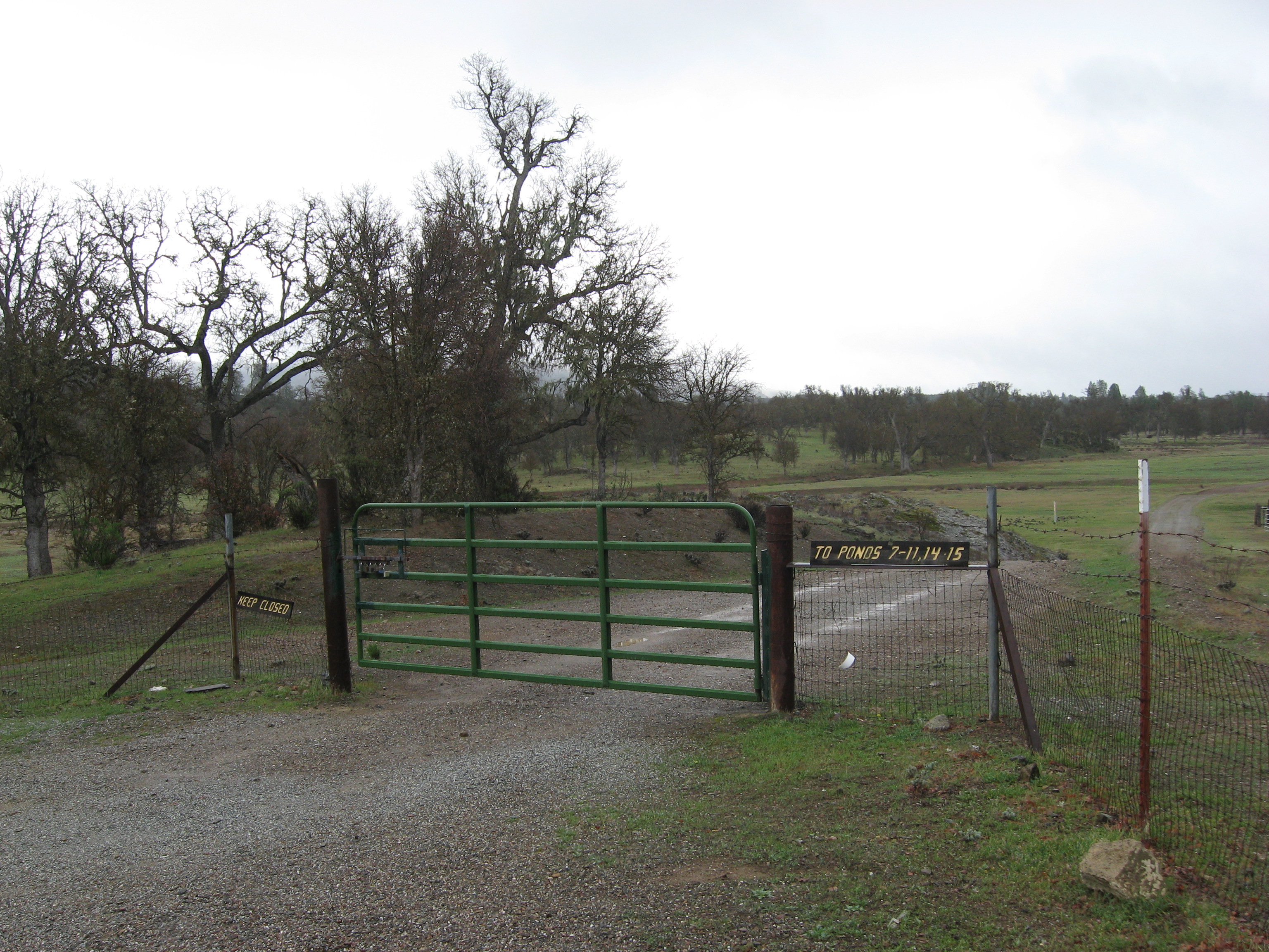
Below is the gate I wanted to check out, where Highway 130 dips to within 1.5 miles of Henry Coe State Park. Very flat..which is unusual for Henry Coe State Park! The gate had several locks on it, indicating access to several private properties, including the “Shanti Ashrama” http://sfvedanta.org/the-society/history/shanti-ashrama-historical-overview/
Onwards to the junction of Highway 130 and Mines Road. At this point, the choice is to turn left (north) towards the city of Livermore, or turn right (south) towards Patterson and I-5

The appropriately named “Junction Bar and Grill” is closed on wednesdays. The other days of the week, it’s a gathering place for roadtrippers of all sorts, including motorcyclists. http://www.yelp.com/biz/the-junction-livermore

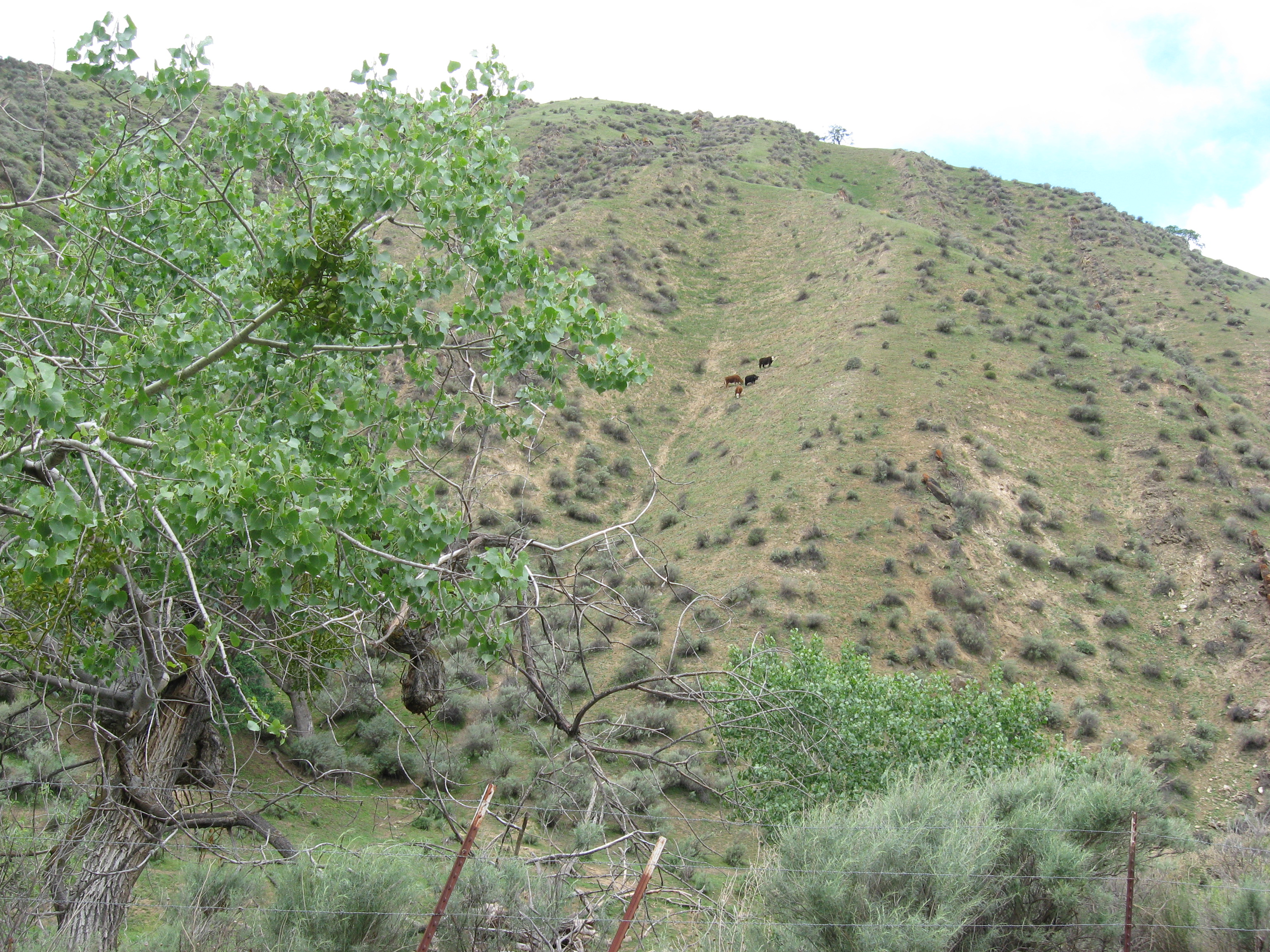
I turned right, towards Patterson, spotting some cows barely hanging onto a steep hillside
…and some a bit closer to me!

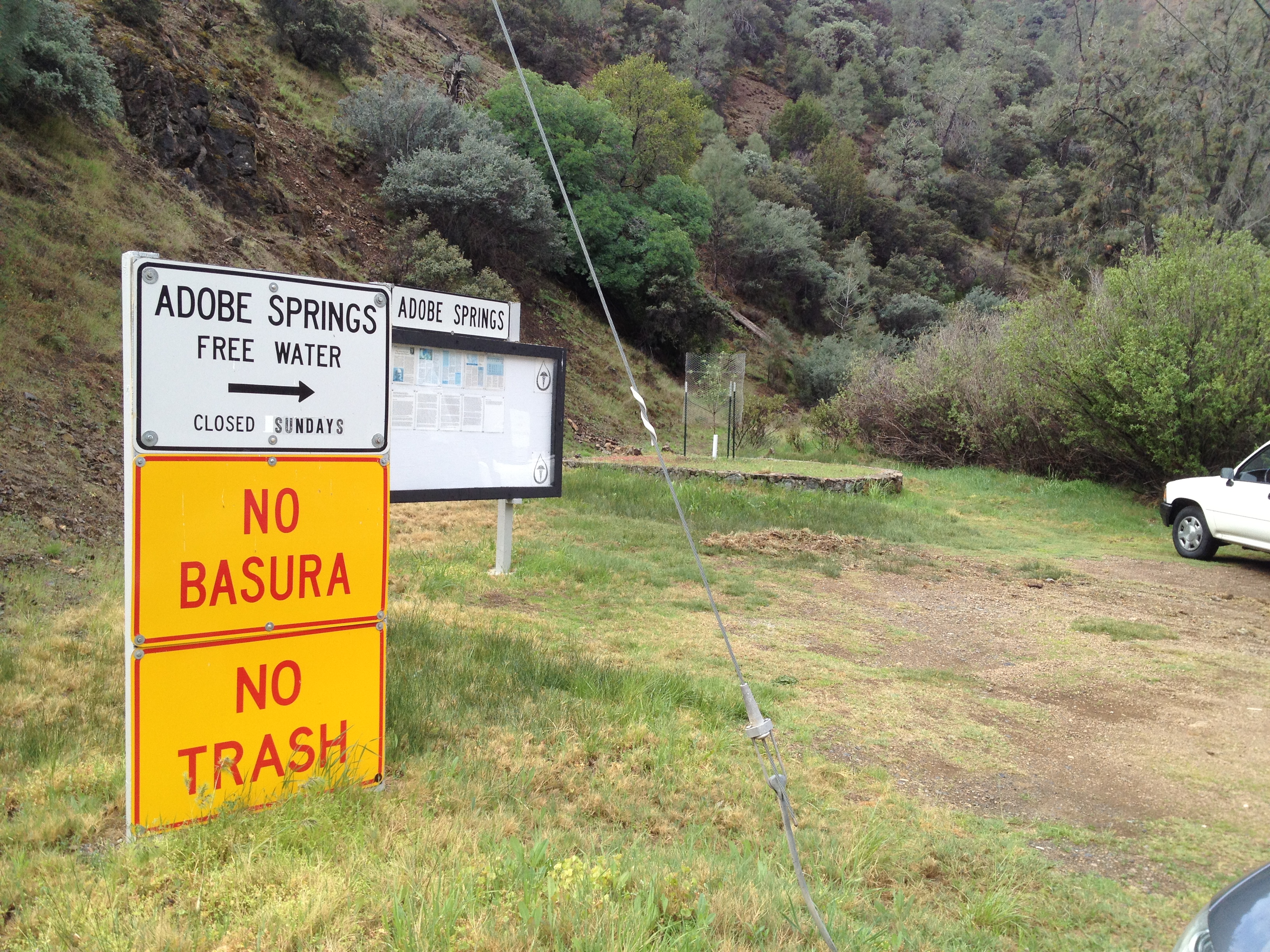
A bit further I passed by “Adobe Springs”, which was interesting enough that it warranted it’s own blog post! https://alpharoaming.com/2014/04/05/adobe-springs/
As I dropped much closer to sea level, away from the barren hills near Adobe Springs, I found a marginal orchard, on the semi-arid hills.

Further down, near Patterson, I found the more familiar Central Valley nut trees, lined up neatly as far as you can see!

Orestimba Creek? Hmmm…that sounds familiar! Indeed, it does drain from the northeast corner of Henry Coe State Park, all the way past I-5 towards the town of Newman!
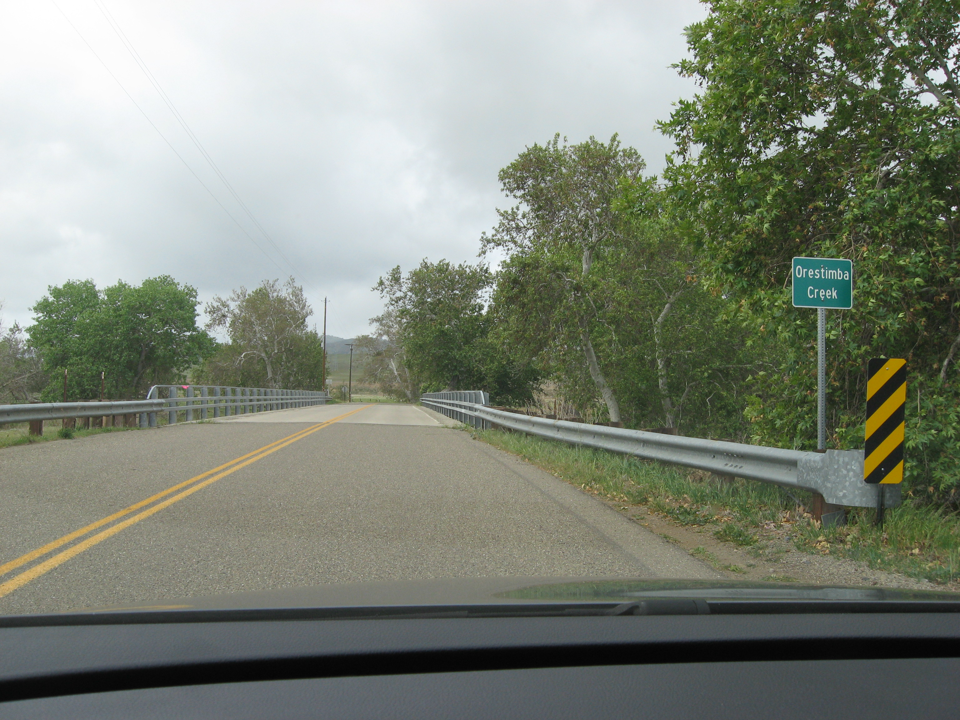
So, yes, “curious me” drove upstream as far as I could, west towards Henry Coe’s Orestimba Wilderness.

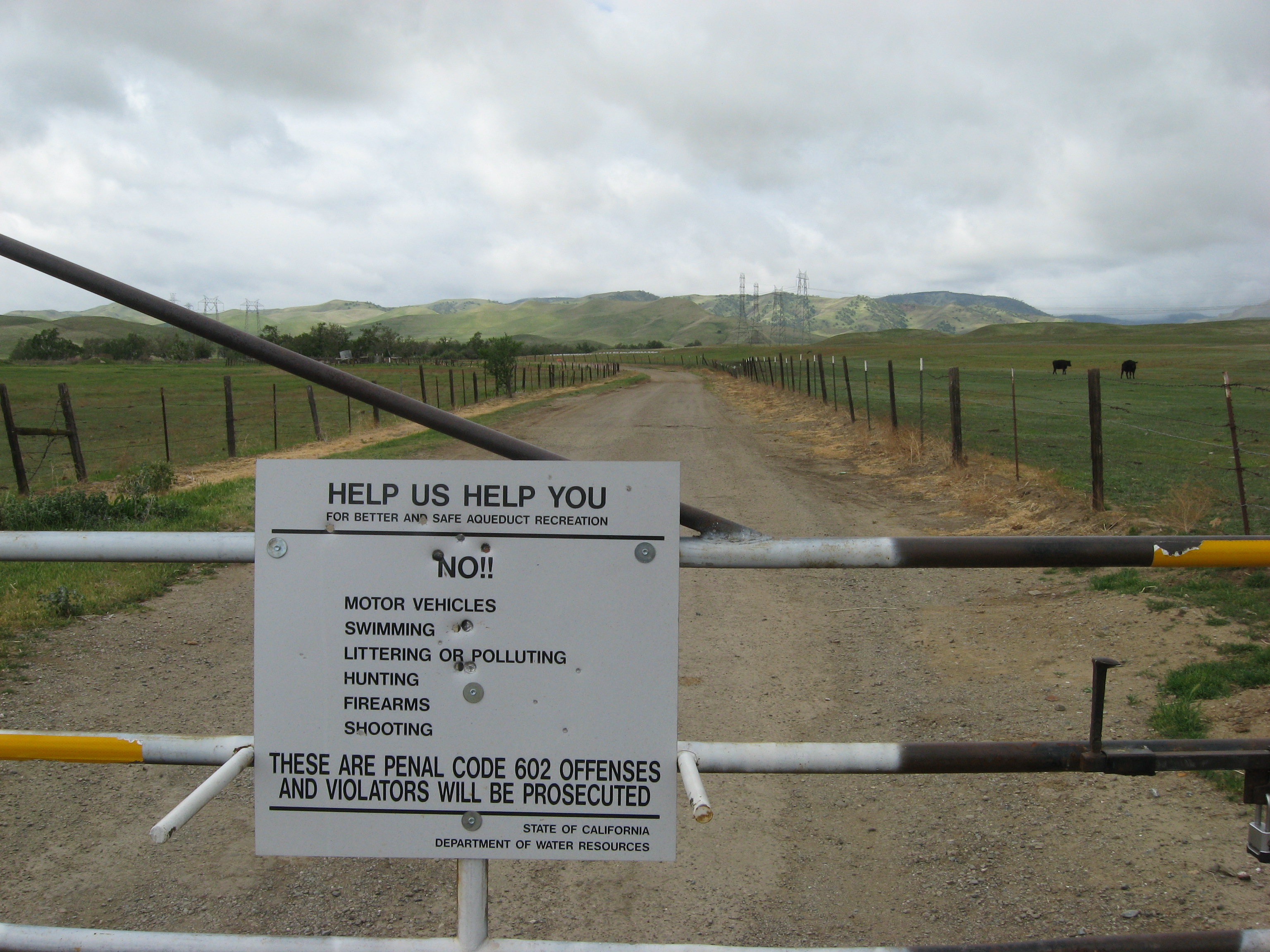
This particular gate, about 2 miles west of I-5, appears accessible to hikers and cyclists. Following along past that using Google Earth, towards Henry Coe State Park, it appears to get more sketchy. The road gets narrower, and I see additional gates further to the west. Probably not a good idea…
From here I headed south on I-5, then west over Pacheco Pass to Gilroy and back home.
Anyway, that’s my “rainy day road trip”! I completely circled Henry Coe State Park and visited Mount Hamilton on a zero-visibility day. Fun! (Don’t forget to bring some empty containers to Adobe Springs if you’re passing through!)

")


So no wildflowers?
Not really, though Mt Hammy was rainy and foggy so I may have missed some. The San Antonio Valley was disappointing.
Was thinking of circling Mt. Hamilton via 130 then Isabel Creek to Kincaid Rd.. Think it’s accessible that way?
Kincaid has a gate after awhile and Isabel Creek is private. Strava Heat Map confirms this…very helpful for route ideas!
This is why I asked 😉 http://cams.seti.org/?utm_content=bufferf5035&utm_medium=social&utm_source=facebook.com&utm_campaign=buffer
This is a greeat post