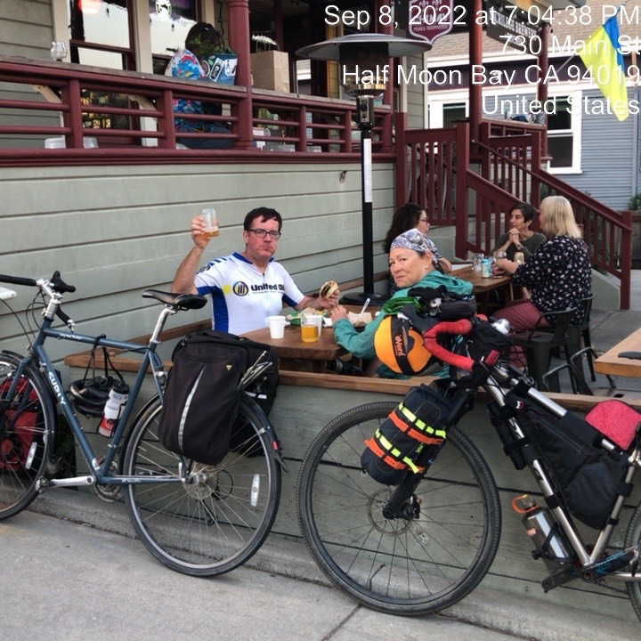
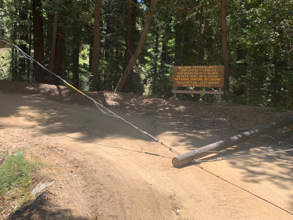
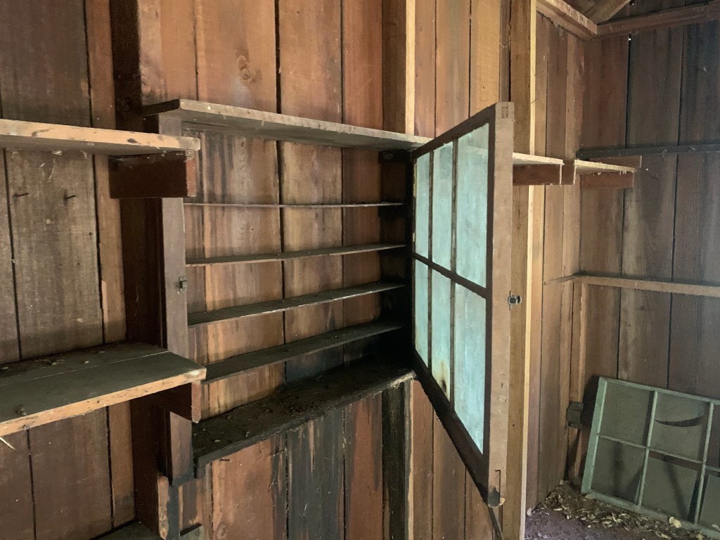
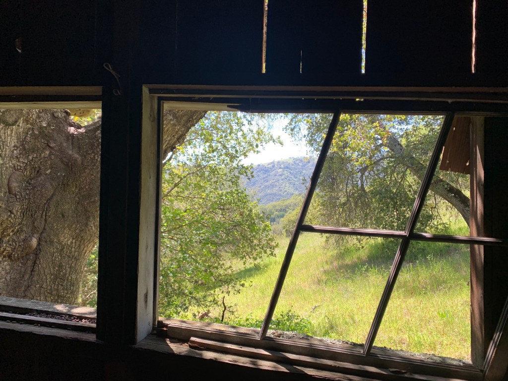
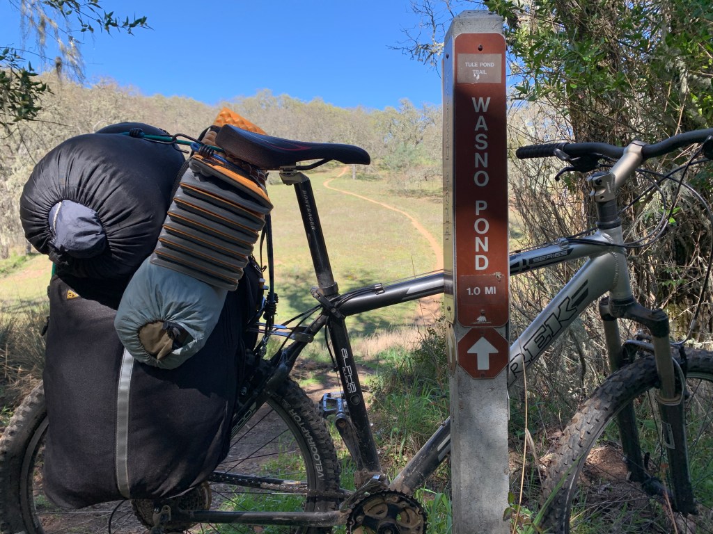
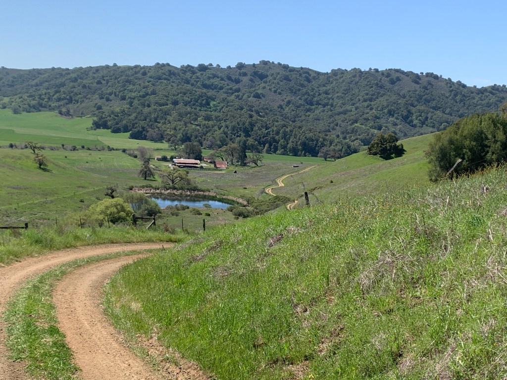
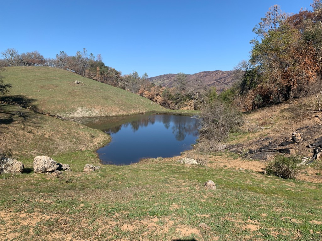
Joaquin Rocks – Clear Creek

Yeah, it’s been awhile! Sitting down at a desk and blogging is much more of a chore than Facebooking! I have the WordPress app on my phone, so this will be quick and easy!

Got my two permits on-line, and the gate code was wrong! Burned a few hours and $20 in gas getting to a phone signal, to call the BLM.

About 25 miles to the eastern end of the park, after a short detour to the Benitoite Gem Mine.

Cooler than expected, at 4000 feet!

I slept in the Subie at 4000 feet. I was happy to be wearing three layers, and two sleeping bags!

Thats about it! Long drive in the Subie, and a 7 mile round-trip hike. I was buzzed by a scruffy old ex-Coast Guard chopper, for some reason!

Posted in Uncategorized | 4 Comments

Henry Coe overnight: an unburned cabin & Kickham Ranch

As of last year, I had visited three cabins in Henry Coe State Park that were not on the map. Seeing that two of them burned last year, I thought I might visit the last one, once again, before it’s too late! This third one is even less accessible and surrounded by more trees and brush. It’s doomed the next time there’s a fire near Grizzly Gulch and Grizzly Falls. If the State thinks it’s worth protecting from the public, why isn’t it worth protecting from fire?

After visiting the cabin, I proceeded on to Willson Camp for the night. It’s a great spot, with views, a shady table, water, toilet, and an AT&T signal

My route back to Hunting Hollow was via Kickham Ranch. It’s not openly encouraged to enter/exit the park this way, but there are no signs forbidding it. You’ll have to climb one gate, which forbids “Unauthorized Vehicles” on one side of the gate.

So, yeah, until there is an effort to protect the remaining unmarked cabin from fire, it seems ridiculous to hide it from the public. (I won’t be publishing any more location details, and please don’t add it in the comments. You can find the cabin with some research, including old PRA documents.)

Posted in Uncategorized | 3 Comments

30 Hours in Henry Coe bikepacking

I spent 30 hours in Henry W. Coe State Park, including an overnight at Pacheco Camp, and visiting an unmarked historic cabin that burned.

I saw one backpacker, and a handful of cyclists. I also passed across the dam at Coit Lake, after dark, and chatted with 2 or 3 backpackers who were set up there. The burn areas are very spotty. Some areas are completely scorched, and some are a patchwork of lightly burned, and unburned. Most areas are already sprouting green shoots!

The cabin really should have had some proactive clearing of brush and flammables, way before the fire. (If it’s worth protecting from the public, it should be worth protecting from fire.) There is another old cabin in Coe that is similarly a “sitting duck” for the next big fire. Thankfully Pacheco Camp was saved, partly due to flammables clearing and vehicle access.

Still need to work on my gear, including front racks
Gilroy Hot Springs cabins
Coit Horse Camp
Pig damage
Mahoney Pond
Mahoney Cabin. It was kept secret by park management, but no brush clearing was done. If it was worth protecting from the public, why was it not worth protecting from fire?
Photo from 2010, courtesy of “Skyline 35” on Strava. (Notice the metal washtubs to the right, then look at the previous picture.)
The most desolate spot. The burn was not this thorough in most areas.
Entering Kelly Cabin Canyon
I planned on travelling after dark on the fire roads, with good lighting. What else am I gonna do with 10 hours of darkness?
White Tank Spring
The shower house
Frosty morning at Pacheco Camp!
Drying my sleeping bag and tent fly on the porch. My bike is leaning against the table.
Pacheco Falls
Mirror image!
Posted in Uncategorized | Leave a comment

Backpacking unburned area in Henry Coe State Park

Last wednesday I did an overnight at Henry Coe State Park. I wanted to replace a few Geocaches and give my new 0F degree sleeping bag another test. I also thought the park would not be fully open for months. It opened a few days later!

Lotsa pig damage, under every oak tree!
Big fields of Shooting Stars between Willson Peak and Grizzly Gulch
Just above Willson Camp, where I stayed that night

That’s it! Park is fully opened. Enjoy it before it gets hot! (Parking will be an issue on weekends.)

Posted in Uncategorized | 3 Comments

Salton Sea and Bombay Beach

Lightning and rain over the Salton Sea, and a few interesting homes in Bombay Beach. I particularlt like the vertical bent airplane fuselage. Note the stairway to go inside!

The end! Much more to see in Slab City, so don’t stop here for too long.

Posted in Uncategorized | Leave a comment

Slab City and East Jesus

Where do I start? Rain and lightning over the Salton Sea, and a few hours wandering around. I would characterize it as a cross between Mad Max, a homeless camp, and a decent trailer park. Some bits of each…

Due to Covid, the Library was closed. I believe The Range, with the open microphone stage, is only on saturday nights. East Jesus just closed again, due to people not wearing masks…

Posted in Uncategorized | Leave a comment

Salvation Mountain

Way down, near Slab City…

That’s the highlights! Next post is Slab City and East Jesus.

Posted in Uncategorized | Leave a comment

General Patton’s Iron Mountain

My blog posts are much less frequent before…it’s not that I’m doing fewer interesting things. It’s that sitting down at my desk is a chore! I’m going to do less text, and let the photos speak for themselves. I’m also trying this from my phone, for the first time!

This area is not difficult to find, but don’t try to go in from Power Line Road. Leave the pavement at the above historical marker. High clearance is not required, but the sandy patches would make me very nervous in a 2WD vehicle!

The Catholic altar is one of two remaining things to see (plus a smaller Protestant altar, that I did not see)

The other site is where the flagpole used to be, plus this 3-D relief map, now behind a fence. I believe it’s a map of this camp.

Done! My first post from my phone! That wasn’t hard, was it?

Posted in Uncategorized | 1 Comment

Baltimore Town, and Old Man Mountain (Yuba Gap area)

A friend, who moved from Santa Cruz to Grass Valley a few years ago, pinged me with a backpacking idea. It sounded much more reasonable than some of the crazy bushwhacking adventures he had been known for. It wasn’t!

We met at the Blue Lake trailhead versus carpooling, as this is the “year of the COVID”. It was a reasonable hike, with our 30 pound packs, up a gently inclined trail, to our campsite, near Baltimore Lake. We had started at 11AM, so the plan was to crash there, then get an early start on a day hike to Old Man Mountain.

(The red baggy thing is his sleeping bag, in an oversized stuff bag. He’s a novice backpacker, so I encouraged him to locate a better stuff bag, and shift some of the weight up higher.)

IMG_2044

The view to the west, where we came from. I was VERY happy to see granite and alpine lakes much closer than Tahoe or the Eastern Sierra. The Yuba Gap area is where Highway 20 meets I-80, about 25 miles west of Donner Summit. NO PERMITS OR RESERVATIONS NEEDED!

IMG_2051IMG_2062

Below is the un-named pond, just south of Baltimore Lake, as viewed from our campsite.

IMG_2071

Our plan for the next morning was for an “easy” off-trail morning hike to Old Man Mountain, via a lake with a small island. We’d then return to camp, grab our packs, and head back to the car.

Below is an old mine shaft, noted on the USGS Topo maps. That’s as close as we got!

IMG_2076

There’s Old Man Mountain, with the further lake, in it’s shadow. We had no idea what we were in for.

IMG_2078

We got down to the shore, and found a nice gathering circle, made of arranged rock and a fire circle.

IMG_2082

Below, my friend swims about 100 feet to a small island. Why? Geocache…

IMG_2083

After Dan’s swim, that “easy” morning hike became quite an ordeal, with a few dangerous spots. We proceeded around the right side of the lake, only to find a very fresh rockfall of 10 foot boulders, going straight from a cliff into the water. We carefully scrambled over and under the boulders, hoping that they were setttled into their permanent resting places.

We then started uphill, to the trailless summit, through the thickest brush I’ve ever seen. Dan was ahead of me, and knew I wasn’t happy when I asked if he was interested in turning around. We eventually found a clear “path” to the summit, pictured below.

IMG_2094

From the summit, we studied our downloaded USGS Topo maps, and decided to make a loop around the other side of the lake, to avoid the rockfall. It looked fine, until we found ourselves peering over an edge, looking down at treetops. The 50 foot gradients on the map seemed to have hidden an impassable 75 foot drop. (I wasn’t taking pictures at this point. It was getting late, and I was not happy…)

We circled back the way we came, and instead of climbing over and under the rockfall, Dan suggested swimming across the lake! It would be safer, as well as saving at least an hour. One problem: Phones, electronic car keys, and my DeLorme InReach. Solution: one holey ziploc, and float them across on a log, that kept wanting to roll my stuff into the water. We made it. Below is a picture of that log, which barely had enough buoyancy.

IMG_2097

After the successful swim, it was just a looonnnggg slog to the campsite, to grab our gear, and head back to the car. Below is the one photo that I managed to take on the way. Probably the only time I noticed my surroundings.

IMG_2102

We got back to the cars at 10PM, after 15 hours of hiking! I would happily go back that area again, but with a bit more time in the schedule, and less reliance on topo maps to show us new rockfalls and impenetrable dropoffs!

11 miles and 2130 vertical feet to camp, on the first day: https://www.strava.com/activities/3824509689

5 miles and 2239 feet, roundtrip, to the Mountain and back to camp. 8 hours slogging time, whereas we had planned on 2 or 3 hours! https://www.strava.com/activities/3829909923

9 miles and mostly downhill, from camp to the cars: https://www.strava.com/activities/3831034703


Posted in Uncategorized | 3 Comments

Dana Plateau (Tioga Pass area)

Does anybody read my blog? Yes, actually the WordPress statistics show 4300 visitors, so far, in 2020. A few years ago it was about 3 times that. I like the blog because I can pull-up photos and a short story quickly, using a Google search.

About a month ago I spent a few days camping off of Tioga Pass Road, outside the east gate of Yosemite. (Yosemite currently having heavily restricted capacity, requiring reservations.) I did a bike ride part way up Tioga Pass Road, followed the next day by a very nice day hike, with two friends, up to the Dana Plateau.

IMG_1891

IMG_1885

The below picture is mirror-flat Tioga Lake, at the beginning of our hike

IMG_1899

Lotsa flowers, though we were not in the correct location to see the elusive Skypilot.

IMG_1906

The western edge of the Dana Plateau has a big dropoff, and gorgeous views of Mono Lake. We rested for awhile, then headed back.

IMG_1915

IMG_1917

IMG_1925

The Dana Plateau, at around 11,600 feet, is called a “sky island”, which means it was not under glaciers during the last Ice Age, as was most of the surrounding area. As a result, the geology is a little different, and there is a greater variety of plants.

IMG_1931

Additionally, it’s relatively flat, vety high up, with year-round water from snow-melt.

IMG_1932

…which so just happens to be perfect habitat for Ptarmigans! We stumbled-upon this pair, which we didn’t see until we were within 10 feet.

IMG_1936

It turns out that we were in the best spot to see them on the West Coast! I did a bit of research, after I got home. They were introduced to the area a few decades ago. Colorado and Canada have quite a bit more of them.

IMG_1937

IMG_1943

That’s about it! Here is the Strava track, including our starting point at Tioga Lake https://www.strava.com/activities/3777382981

Posted in Uncategorized | 3 Comments