
I thought I’d had enough of Nisene Marks State Park for awhile, following a very strenuous off-trail experience on August 10th. https://alpharoaming.com/2013/08/12/bushwhacking-aptos-creek-near-santa-cruz-ca/ Being the slow learner that I am, I jumped at the chance to join a group that had a plan to do a long >>>on-trail<<< hike on Labor Day.
We met at the main entrance in Aptos at 8:00AM http://www.parks.ca.gov/?page_id=666 At the "Epicenter Bicycle Shop", on the entry road, there's still cell phone coverage and a chance to jump into one vehicle to reduce our entry fees.
First stop for our motley crew was under a high bridge, and across some water, to retreive a geocache puzzle the others had solved.
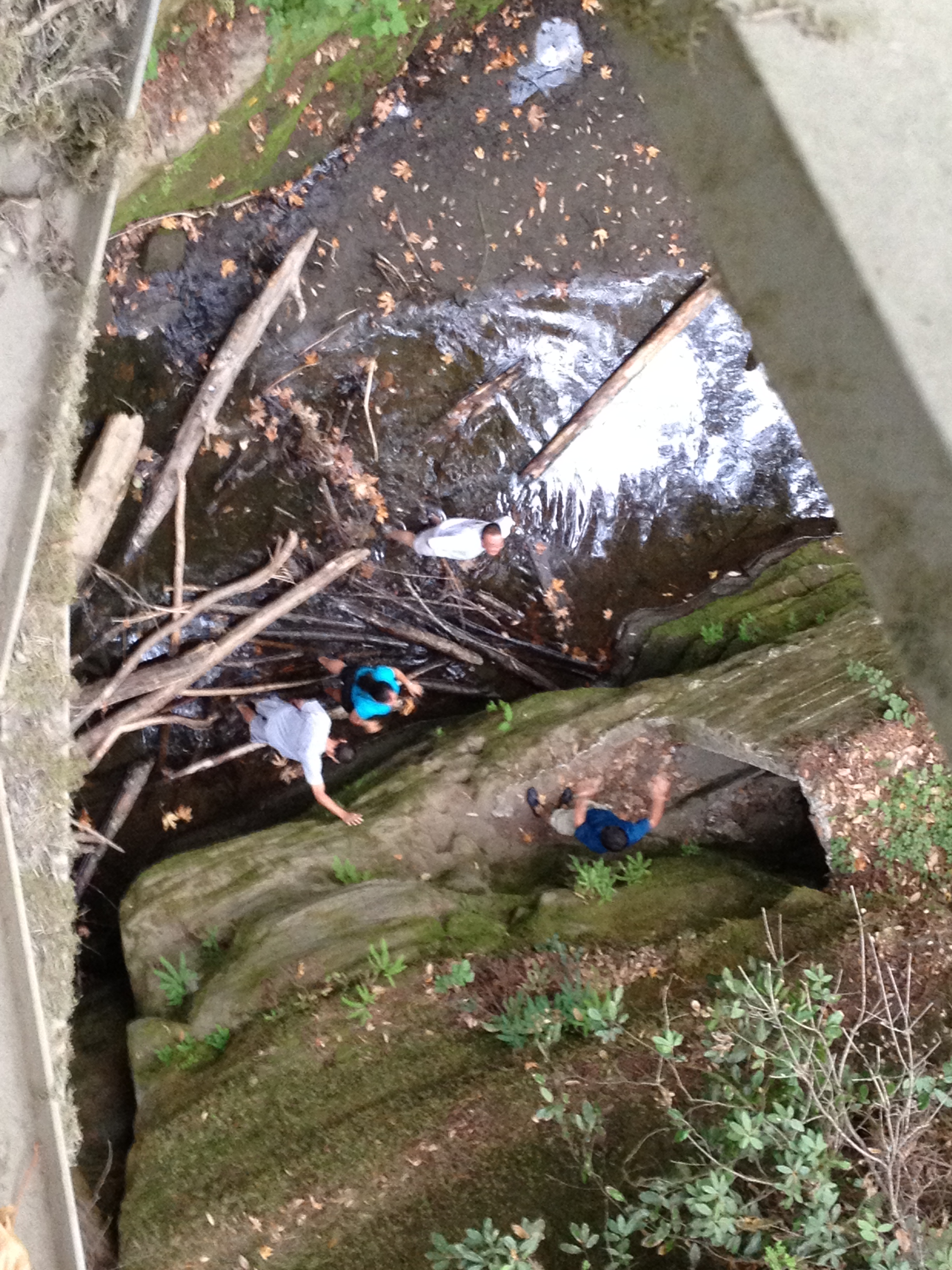
(4 Trolls under the bridge)
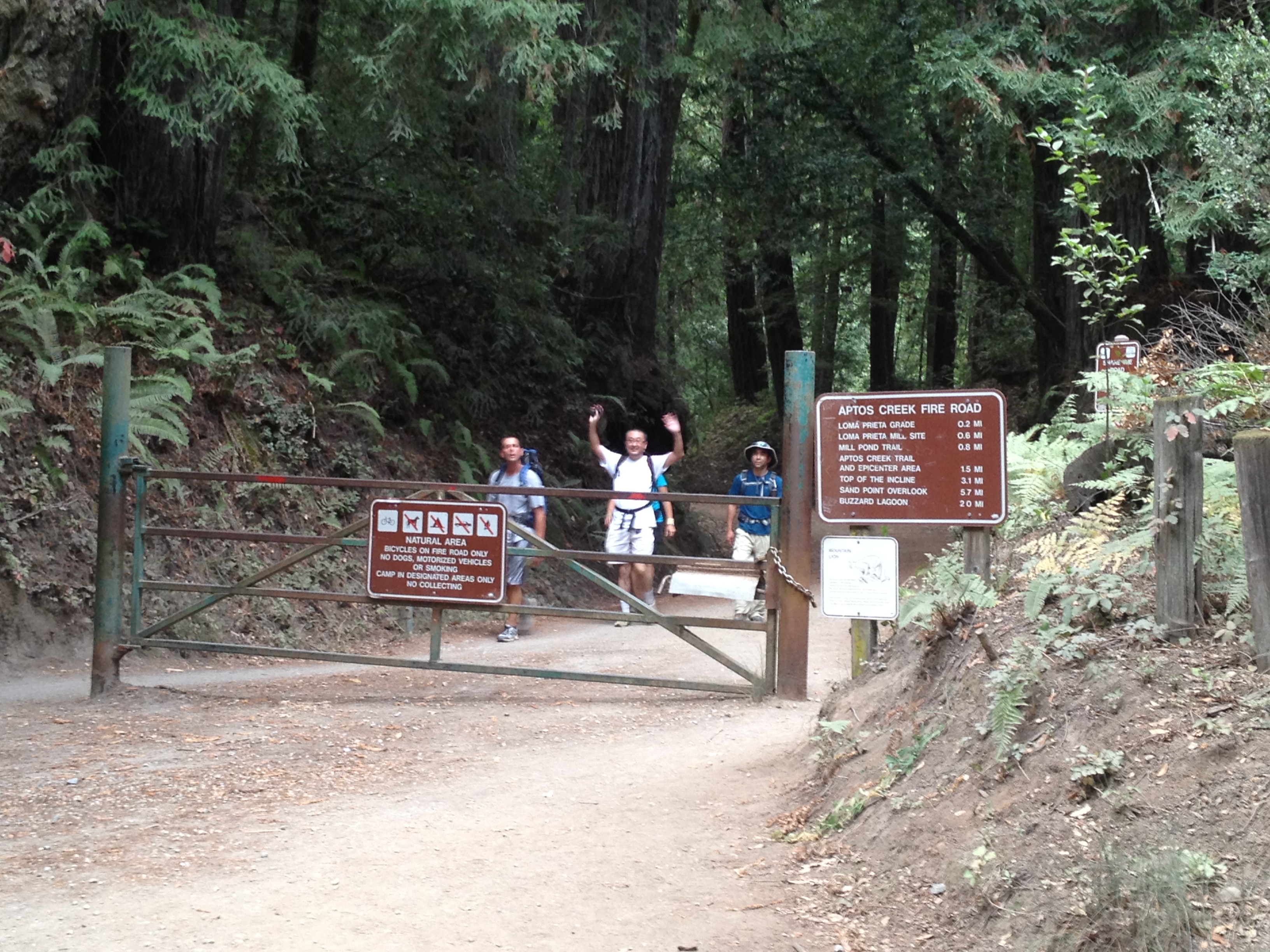
After that, we went to the gate at the end of the road and proceeded on a 18.6 mile loop, with an overall elevation change of about 3000 feet. (EveryTrail.com on my iPhone 4S grossly exaggerates the elevation change at 4700 feet http://www.everytrail.com/view_trip.php?trip_id=2299783 )
The great hiking group took turns taking the lead on the ~9 hour day, including ~26 stops for most of the group who were geocachers…this included 2 tree climbs and at least 2 hillside scrambles!
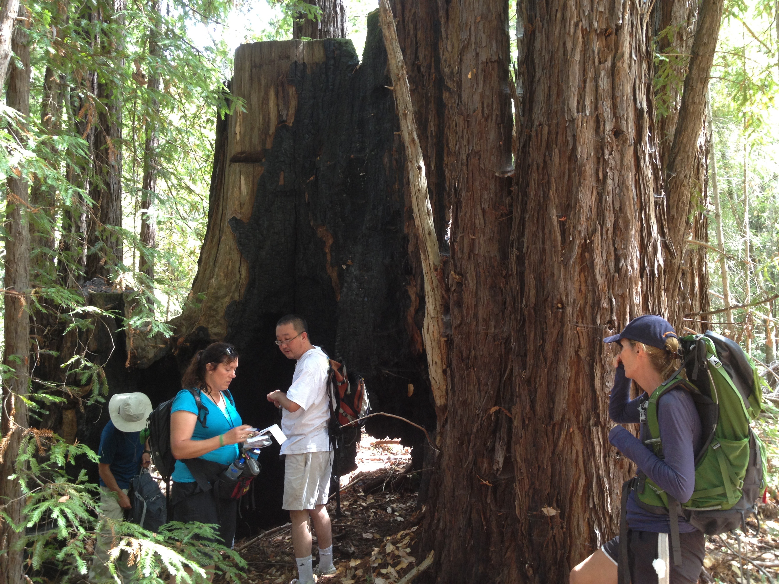
Why all the interest in a burned-out stump?
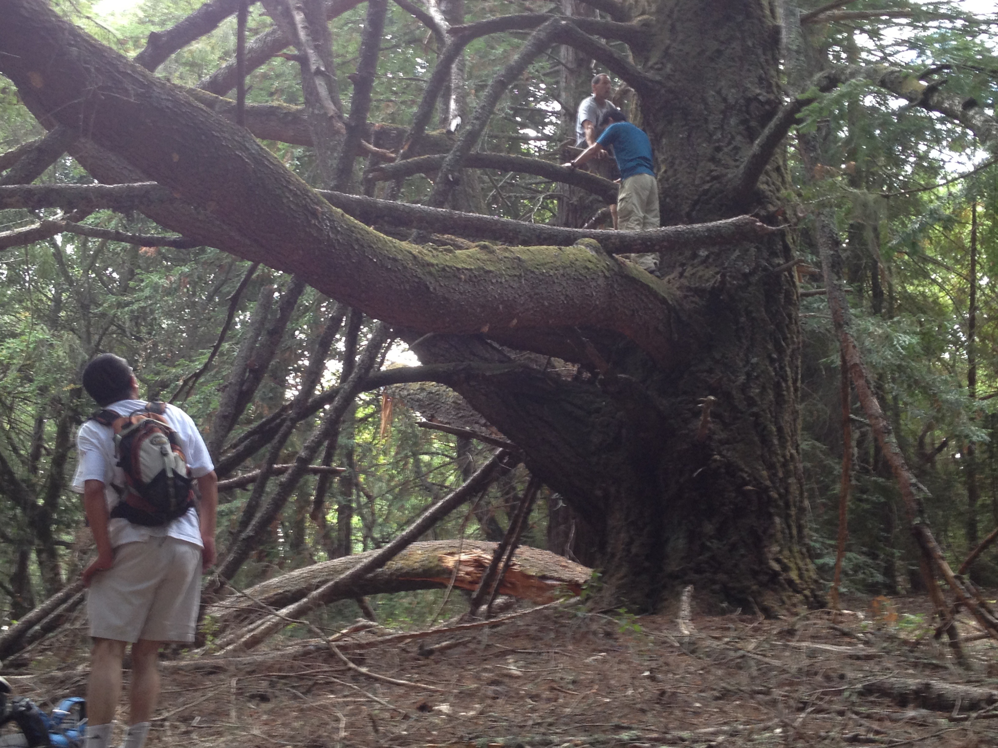
The easier of the 2 tree climbs!
Occasional views through the trees on the ridge included this sweeping view of Monterey Bay and the Monterey Peninsula to the left and on the horizon.
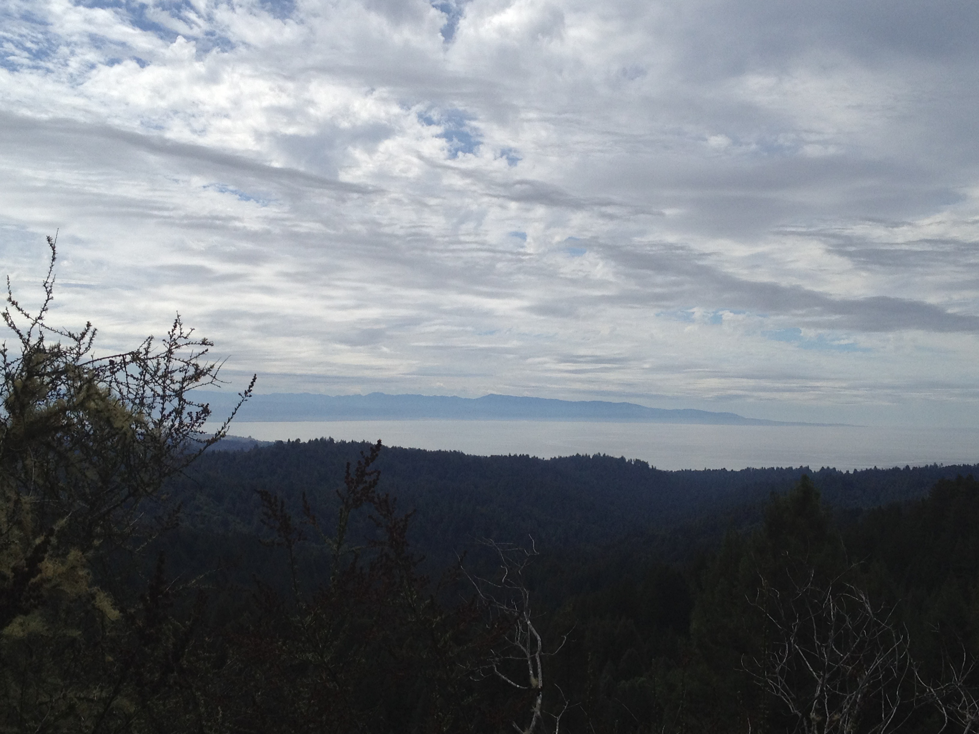
Monterey Bay and Peninsula (on the horizon)
Towards the end of the day, we stopped to examine these 60 foor high vertical bits, just as we started hearing a rain sprinkle deep in the forest.
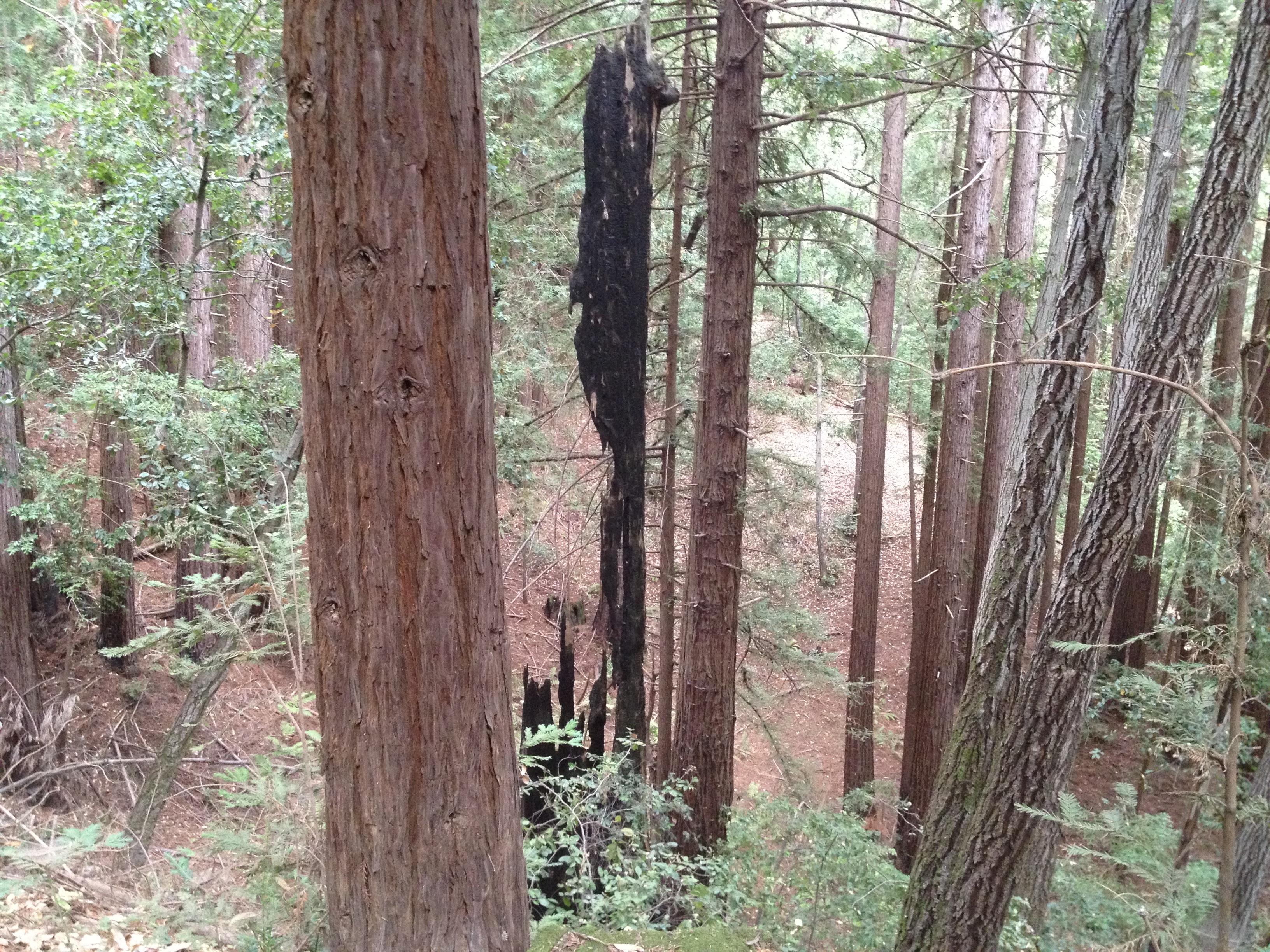
Unbalanced 60 foot high bit of a burned-out redwood
…and this beautiful view of an arched bridge on our next switchback as we descended. GREAT TRIP!
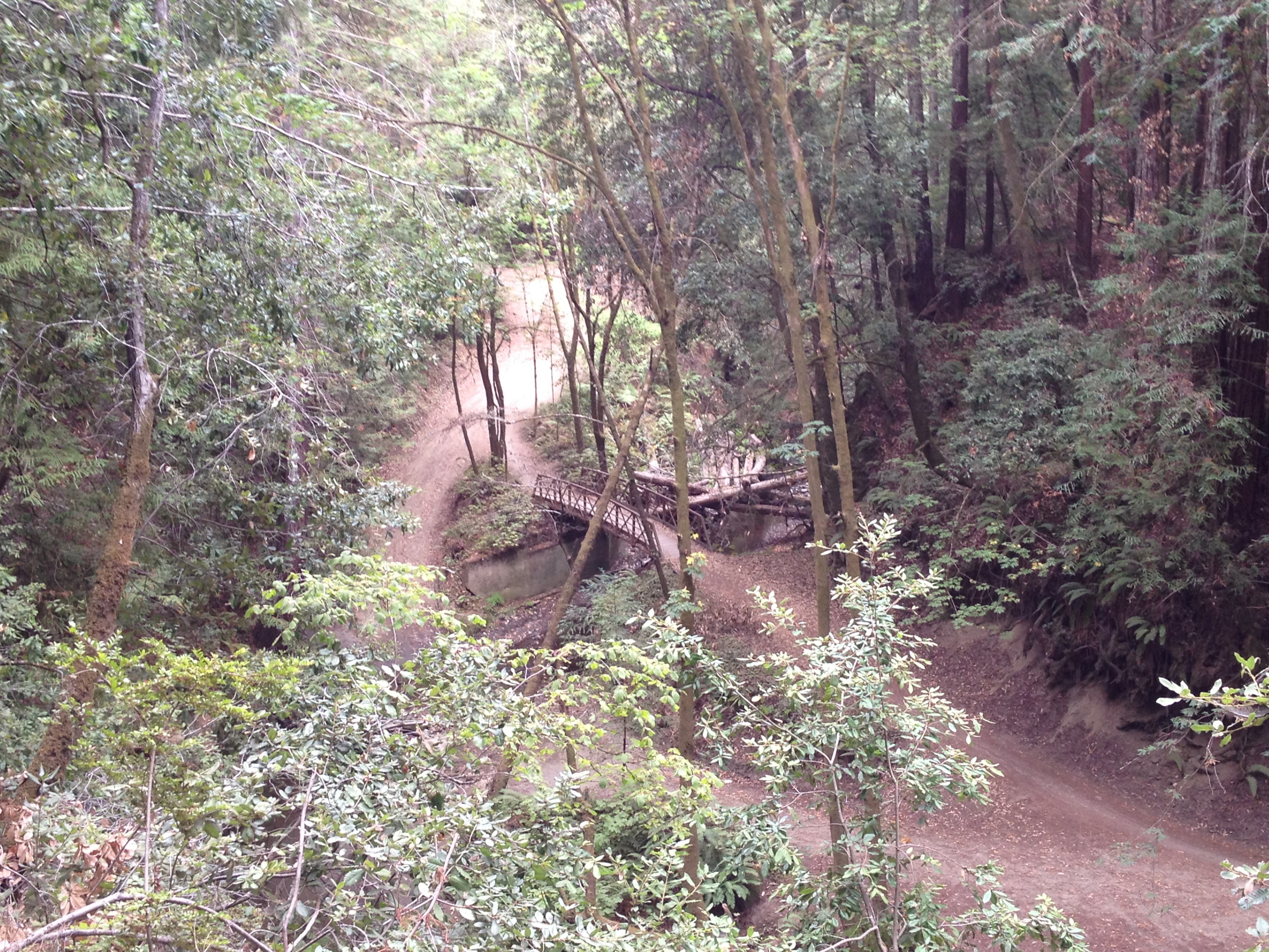
Arched Bridge
Done!
Done! Too bad the excellent and unusual Sante Adairius Brewery was not open! http://rusticales.com/
GPS Track: http://www.everytrail.com/view_trip.php?trip_id=2299783
Additional photos: http://www.flickr.com/photos/59666465@N00/sets/72157635397072909/

")


