

A wee bit outside my normal dayhike radius, near Salinas, CA, lies “Toro County Park” http://www.co.monterey.ca.us/parks/toro.html (…not to be confused with the prominent “El Toro”, visible from Highway 101 in Morgan Hill http://www.morgan-hill.ca.gov/index.aspx?NID=1054 )
Back a few weeks ago, after chatting with a small group of local friends about weekend plans, Rebecca and I headed out to Toro County Park to summit the high points. Her blog post is here: http://calipidder.com/wp/2014/03/tour-toro-county-park-peaks-eagle-simas-ollason/#more-7506
It started out a bit gloomy and cool, but having looked at the forecast, we were expecting better things later.

“Sticky Monkey Trail”?!? Must be a good story behind that! (Addendum: http://www.Outdorky.com @TheGreatOutdork just reminded me that Sticky Monkey is a flower!)

Eagle Peak was the first summit, and still not much of a view!

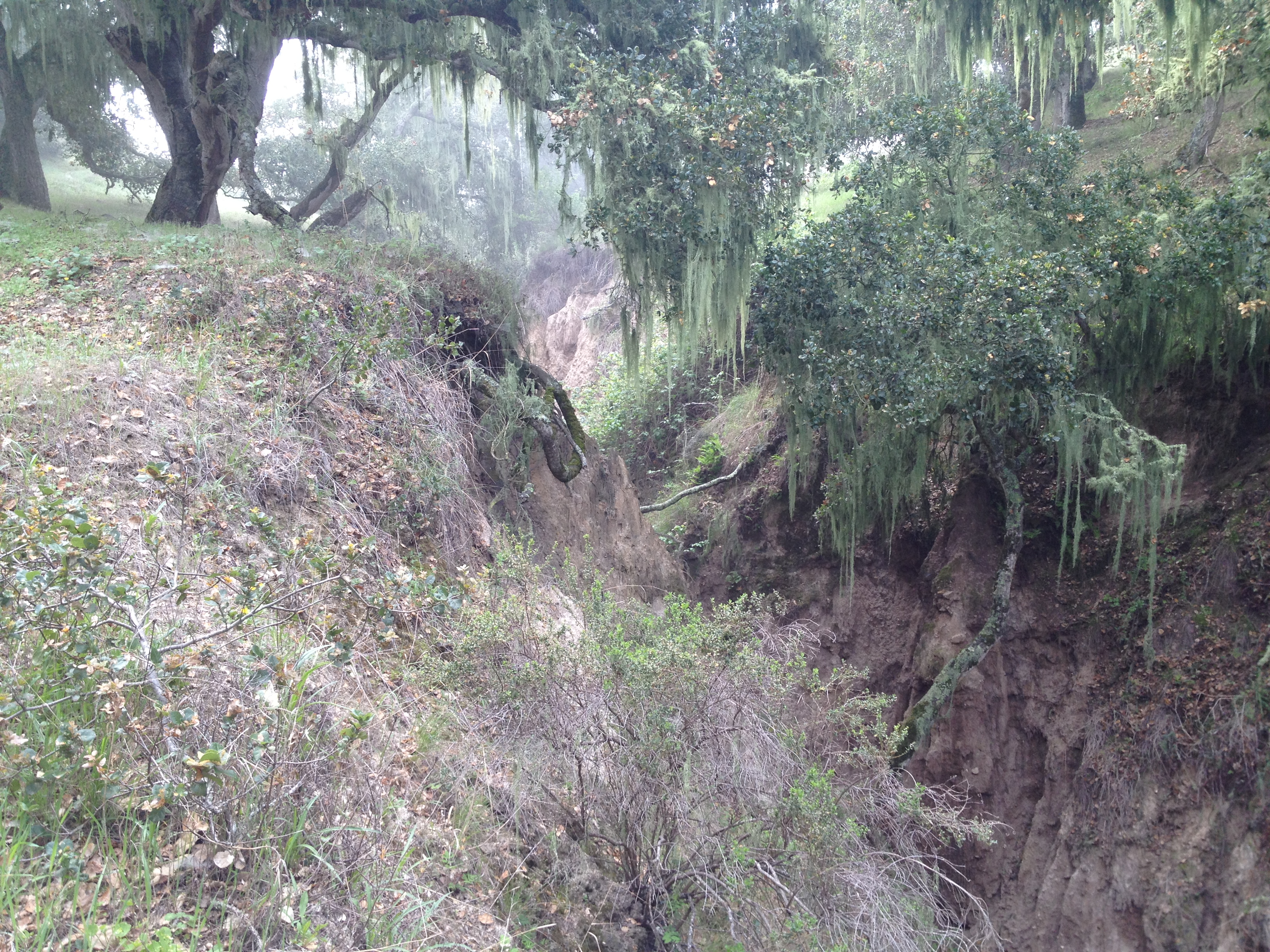
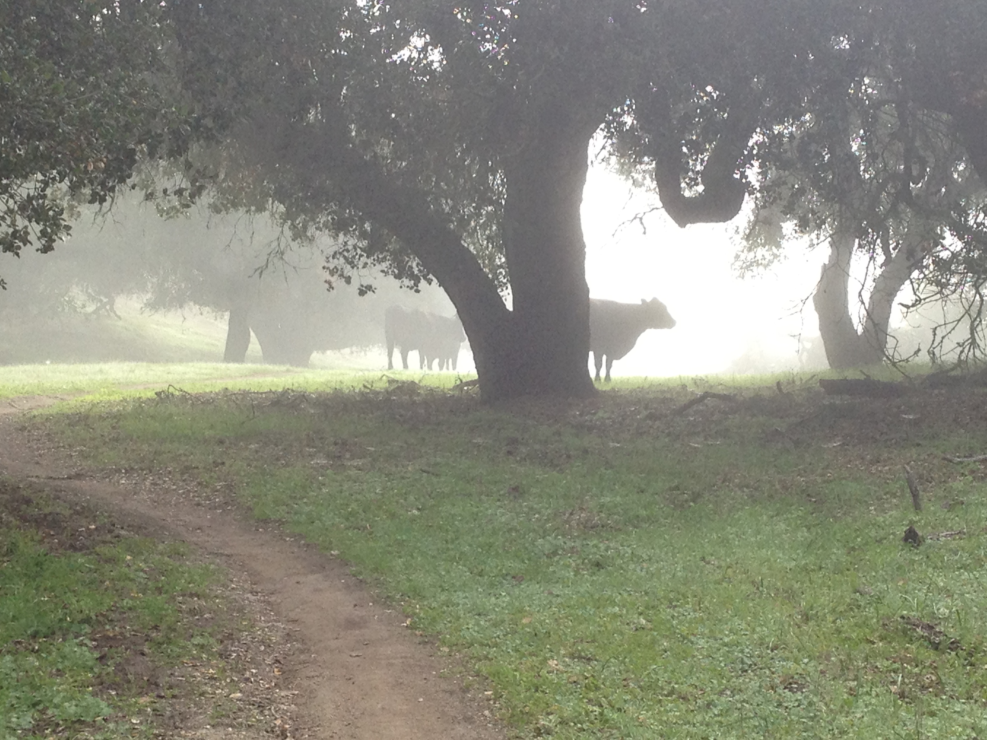
After Eagle Peak, we dipped down into a small valley and saw a “mini Yosemite” and “Cows in the Mist”!

Finally the skies were clearing-up as we got closer to our destination at Simas Peak. We stopped at the fork in the road…

If you’re familiar with hiking in the coastal ranges of northern California, the rolling ridgetops and vegetation should look familiar.

Finally! Near the top of Simas Peak! Note the flat farmland in the middle of the picture, under the clouds. These peaks rise quite abruptly from the plains below.

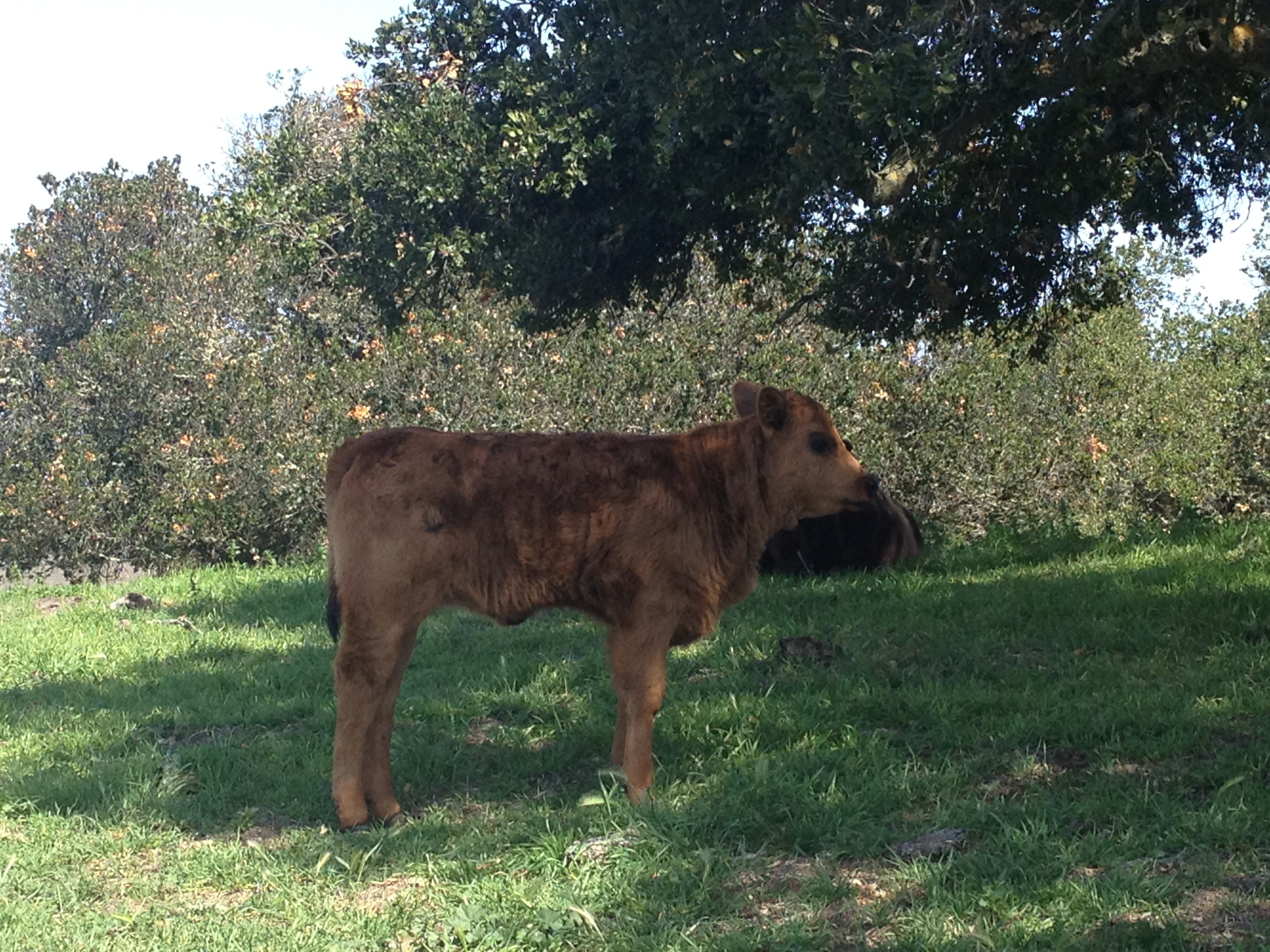
…and then a leisurely walk back, including more cows. This youngster was neither afraid, nor accompanied by Mom.
This was an interesting tree we spotted on the way back: Split almost symmetrically down the middle!

BTW: There isn’t any decent topo map of this park. Load-up your GPS and study your route before you go. http://www.co.monterey.ca.us/parks/images/toro/Toro-hiking-map.jpg It seems few people venture beyond the drive-up picnic tables…


")


Wonderful story 🙂